

Conservation area
Api Nampa Conservation Area
अपि नम्पा संरक्षण क्षेत्र
Api Nampa Conservation Area, established in 2010, covers about 1,903 km² in Darchula, including Api and Nampa peaks. It is one of Nepal’s newest and least visited protected areas. The Api Himal trek passes through it.
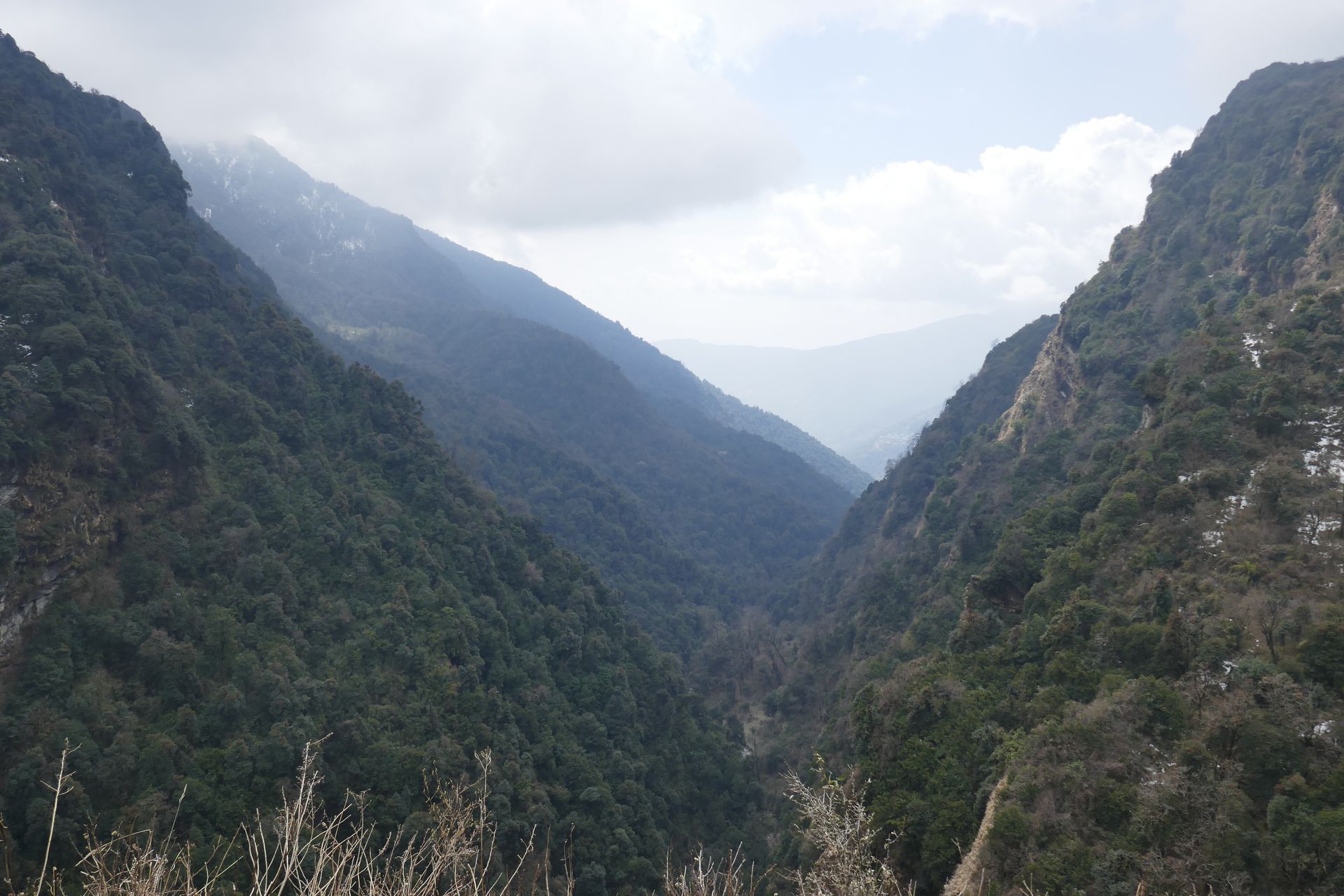
- Elevation: ~518–7,132 m
- Type: Protected area
- Region: Far West Nepal
- District: Darchula
- Established 2010, ~1,903 km²
- Treks: Api Himal Trek
About Api Nampa Conservation Area
Api Nampa Conservation Area, established in 2010, covers about 1,903 km² in Darchula, including Api and Nampa peaks. It is one of Nepal’s newest and least visited protected areas.
The Api Himal trek passes through it.
Location and altitude
Api Nampa Conservation Area spans roughly 518 to 7,132 metres in Darchula district, in the Far West Nepal of Nepal. Nearby places include Api Himal, Api Base Camp and Darchula.
Treks that visit Api Nampa Conservation Area
Api Nampa Conservation Area is part of the Nepal Trek Services itinerary: Api Himal Trek.
Best time to visit
Api Nampa Conservation Area can be visited most of the year. Spring (March to May) and autumn (September to November) give the clearest mountain views; the June–August monsoon brings rain, leeches and cloud, and winter is cool but often clear.
Where is Api Nampa Conservation Area?
The exact point on the Himalaya trail, with nearby places for context.
On this map
Nearby places
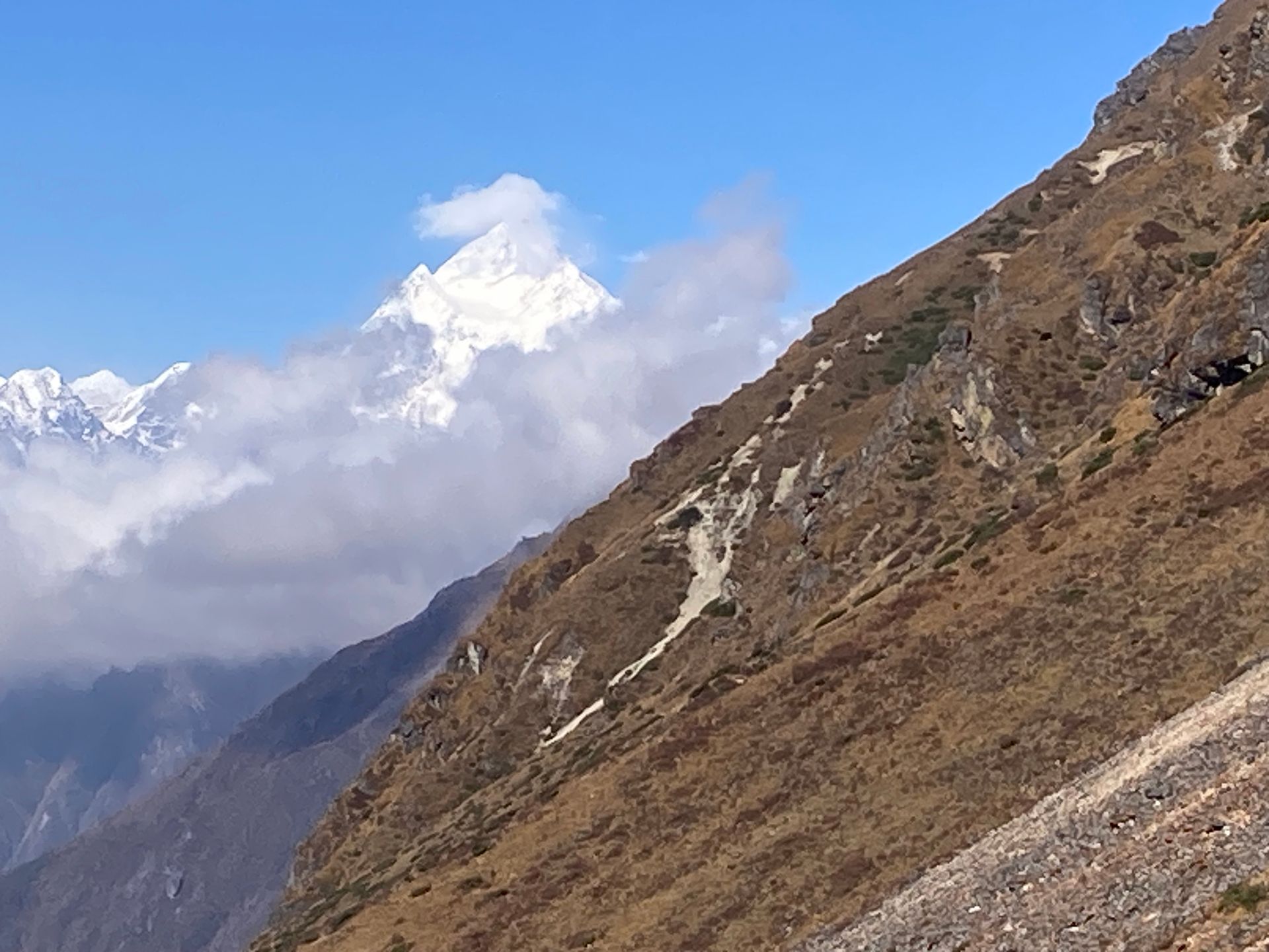
Mountain peak
Api Himal
अपि हिमाल
7,132 m
Api is a 7,132 m peak, the highest in far-western Nepal. Its remote setting near the Tibet border makes it one of the least visited Himalayan peaks. The Api Himal trek reaches its base camp.
Read place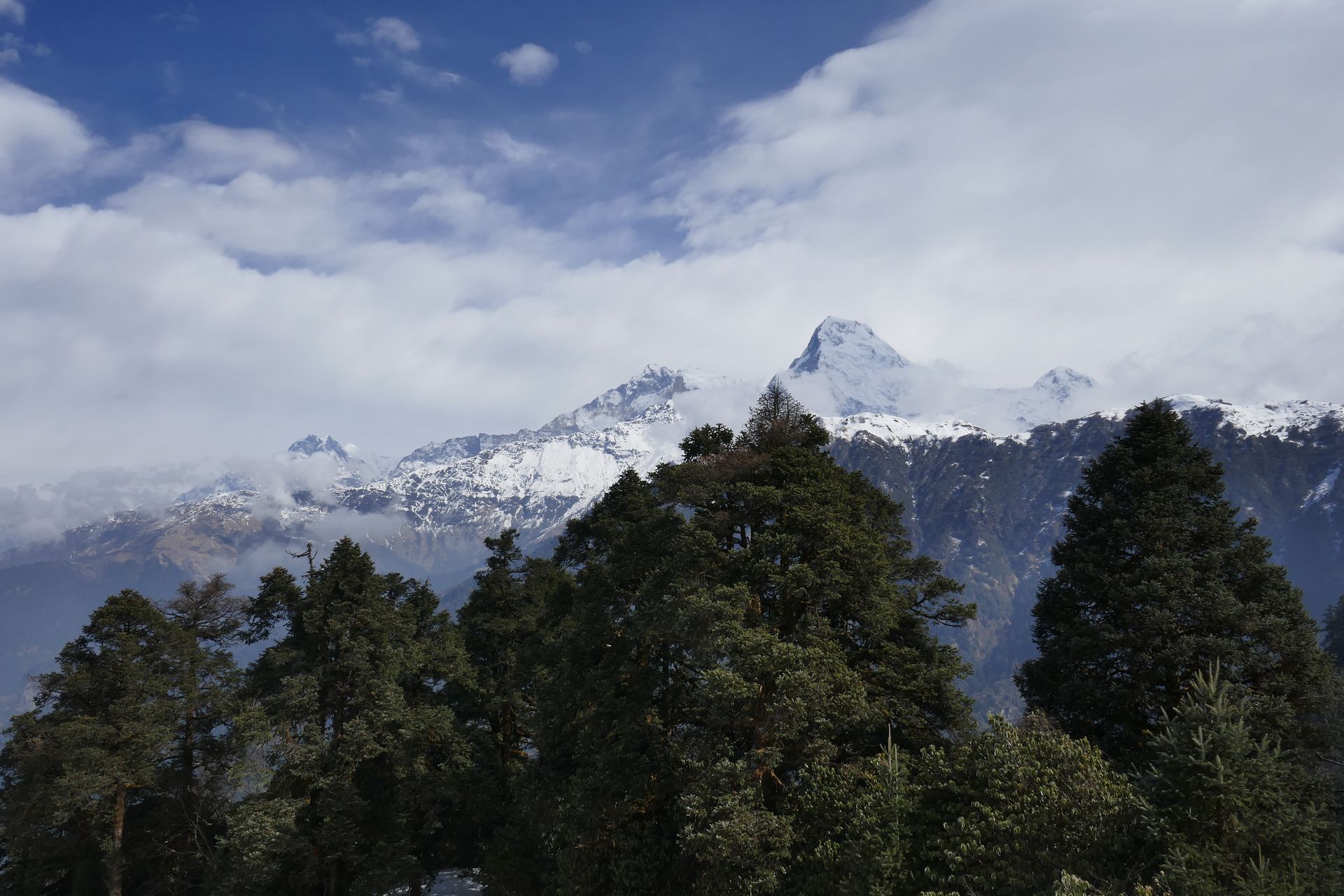
Base camp
Api Base Camp
अपि आधार शिविर
3,860 m
Api Base Camp is in the remote north-west corner of Nepal, beneath the steep face of Api. Few trekkers ever reach it. The trek passes Byasi villages and dense forest.
Read place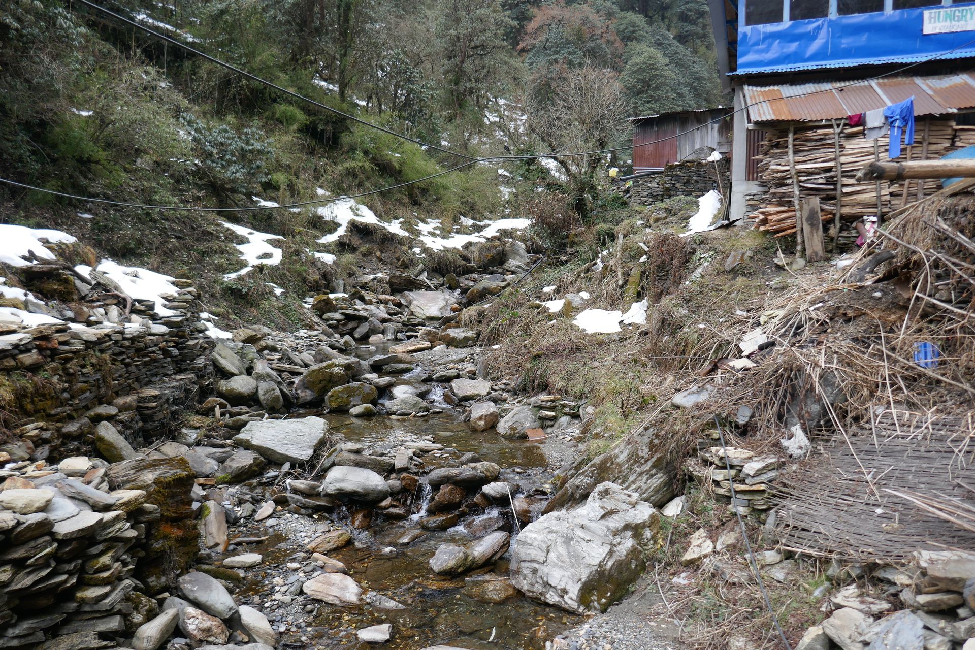
Town / city
Darchula
दार्चुला
900 m
Darchula is the district headquarters on the Mahakali river, facing India. It is the gateway to the Api Himal region. It is reached by road from Dhangadhi.
Read place