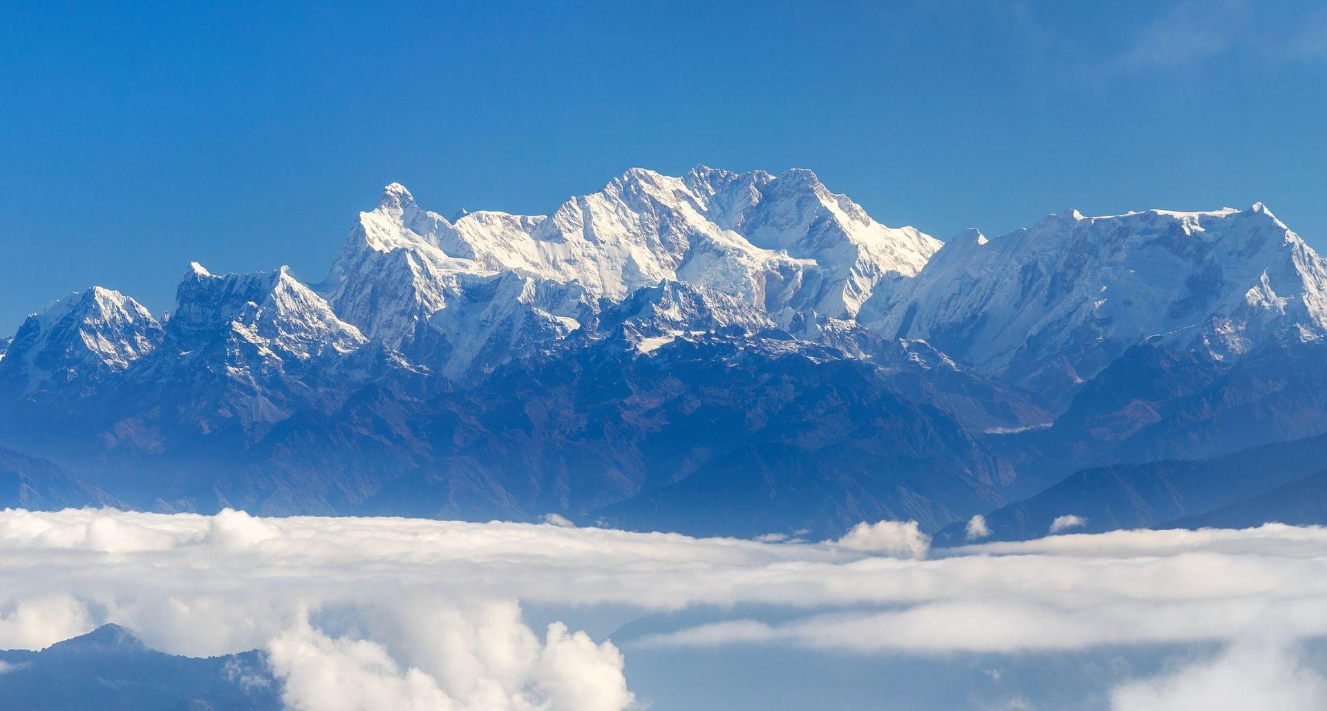
Conservation area
Kanchenjunga Region
4,474 m
Kanchenjunga Conservation Area is a 2,035 km² protected landscape in eastern Nepal, home to Kanchenjunga, diverse Himalayan ecosystems, rare wildlife and culturally rich mountain communities. It is the heart of the Kanchenjunga trekking region
Read place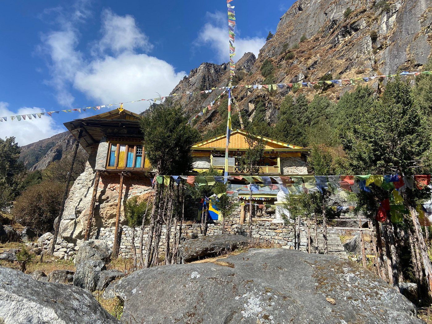
Teahouse / lodge
Dzonga Family House is a local accommodation partner in Ghunsa, a traditional Himalayan village on the Kanchenjunga trekking route in eastern Nepal. A welcoming stop for trekkers exploring the remote mountain landscapes and rich culture of the Kanchenjunga region.
Read place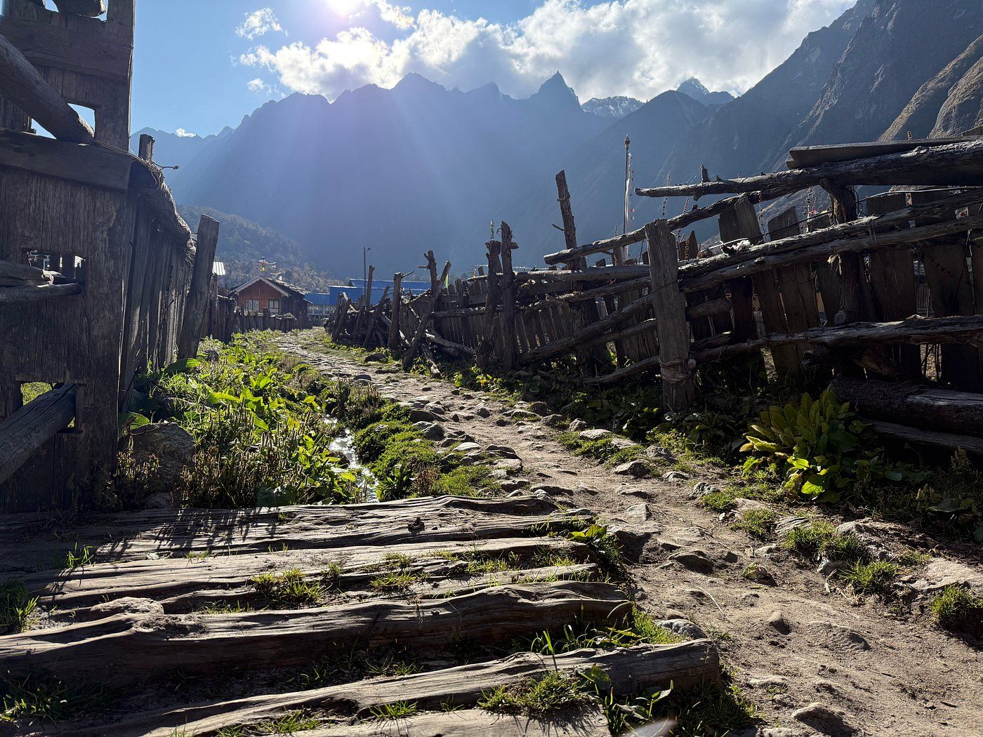
Checkpoint
Ghunsa
3,400 m
Ghunsa is a traditional Himalayan village at approximately 3,400 metres on the Kanchenjunga trekking route in eastern Nepal. Discover its mountain scenery, local culture, trekking trails, accommodation, and role as an important acclimatisation stop.
Read place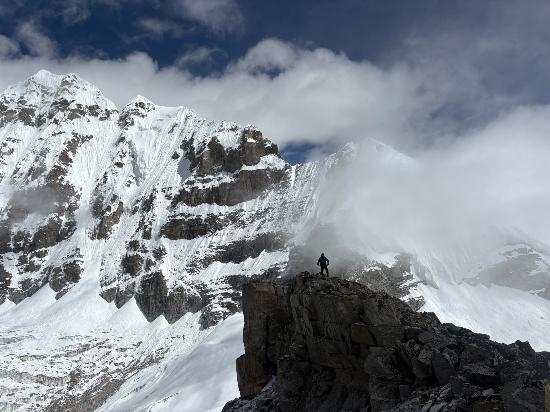
Base camp
4,730 m
Oktang, at around 4,730m, is the spectacular South Base Camp viewpoint of Kanchenjunga, overlooking the Yalung Glacier and southern Himalayan peaks.
Read place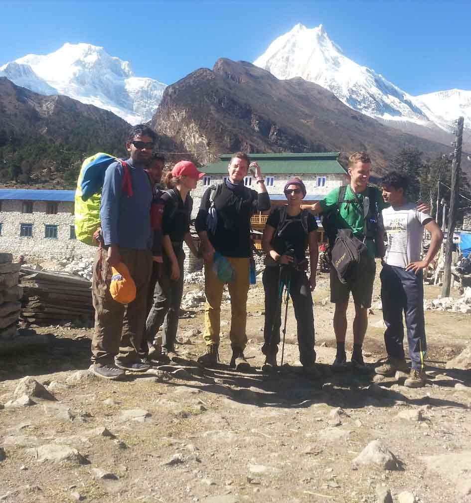
Village
Shyala Village is a beautiful Himalayan settlement between Lho and Sama Gaun on the Manaslu Circuit Trek, offering spectacular mountain views and a peaceful trekking experience.
Read place
Town / city
Touch The Himalaya Treks & Expedition Pvt. Ltd., a locally owned and operated adventure travel company based in Kathmandu, Nepal.
Read place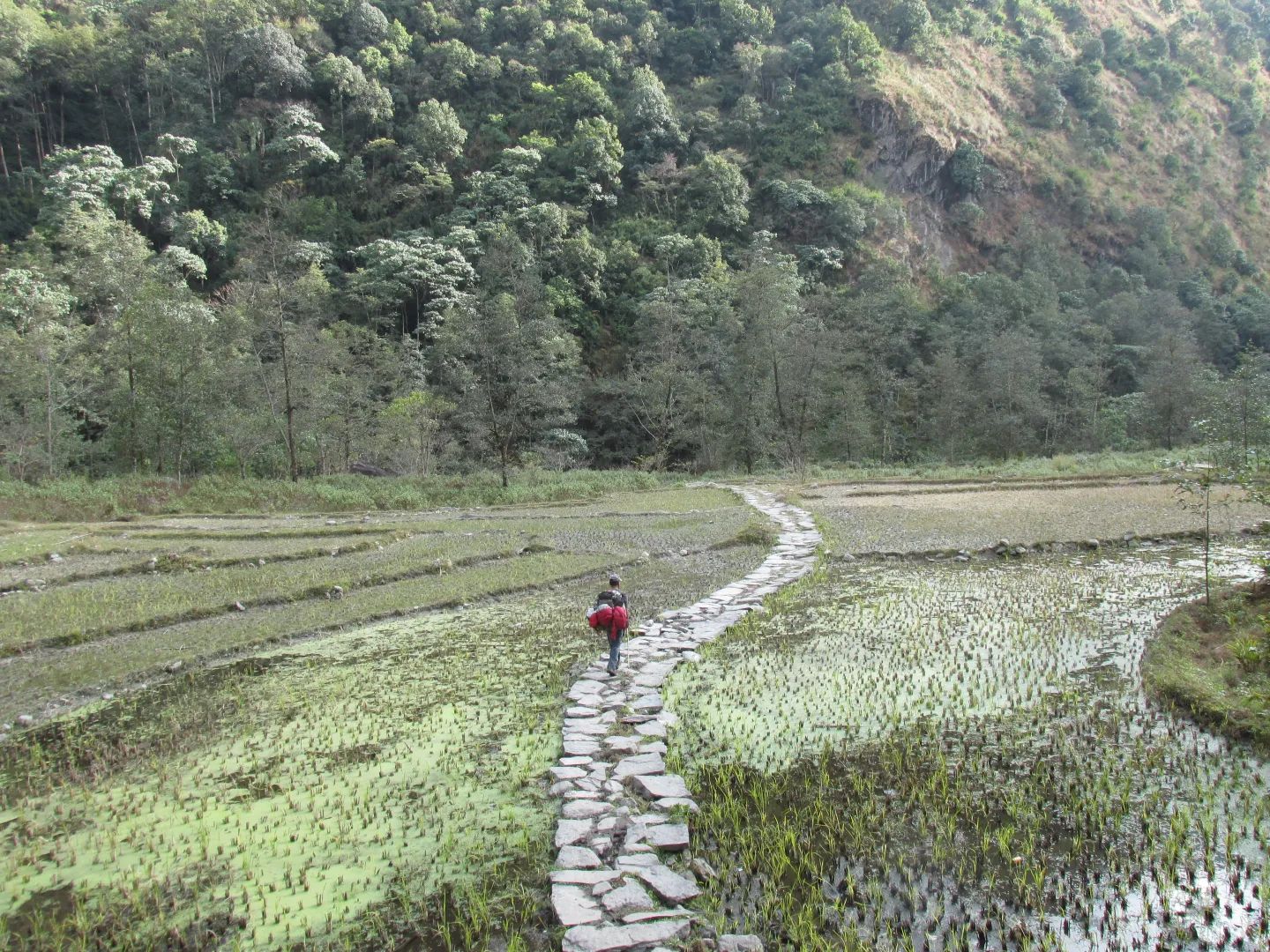
Checkpoint
Yamphudin
2,080 m
Yamphudin, at around 2,080 m, is a remote mountain village in Taplejung and an important stop on the southern Kanchenjunga trekking route. Surrounded by forests, farmland and mountain valleys, it offers trekkers a glimpse of the region’s diverse culture and traditional Himalayan lifestyle.
Read place
Mountain peak
आमा डब्लम
6,812 m
Ama Dablam is the signature peak of the Khumbu, a 6,812 m pyramid whose name means “mother’s necklace”, after the hanging glacier on its face. It is among the most photographed mountains in the Himalaya.
Read place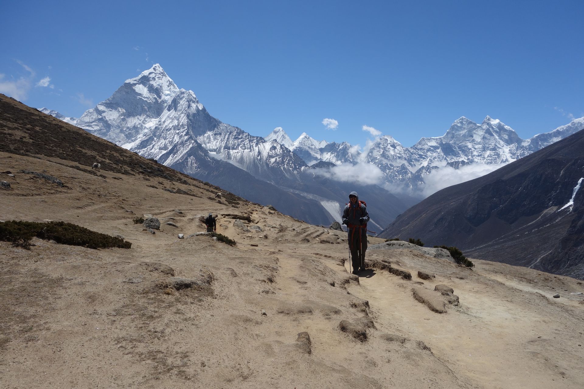
Base camp
आमा डब्लम आधार शिविर
4,600 m
Ama Dablam Base Camp is a grassy meadow beneath the west face of Ama Dablam, reached in a few hours from Pangboche. Climbing expeditions camp here in spring and autumn.
Read place
Village
2,510 m
Amjilosa is a remote Himalayan village on the Kanchenjunga trekking route, surrounded by forests and steep mountain valleys between Sekathum and Gyabla.
Read place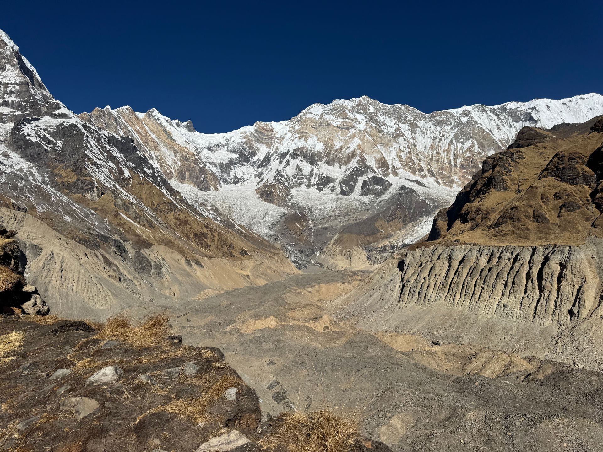
Base camp
अन्नपूर्ण आधार शिविर
4,130 m
Annapurna Base Camp sits in the Annapurna Sanctuary, a glacial amphitheatre ringed by Annapurna I, Annapurna South, Hiunchuli, Gangapurna and Machhapuchhre. It is one of the most popular trekking destinations in Nepal. Sunrise lights up the south face of Annapurna I directly above the lodges.
Read place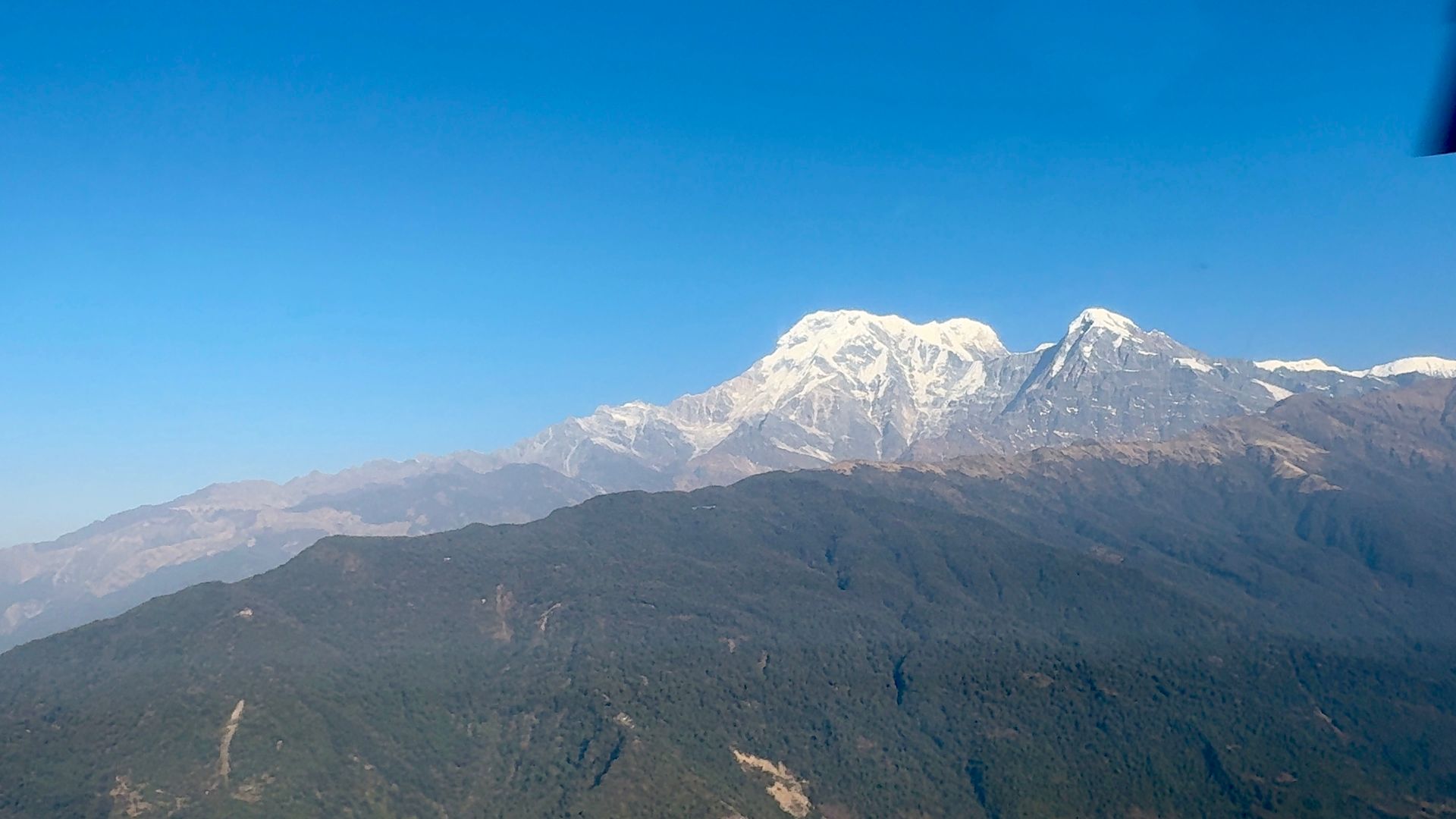
Conservation area
अन्नपूर्ण संरक्षण क्षेत्र
790 m
The Annapurna Conservation Area is Nepal’s largest protected area at about 7,629 km², established in 1986. It covers the whole Annapurna massif, from subtropical valleys to the Tibetan plateau of Mustang. All treks in the region need an ACAP permit.
Read place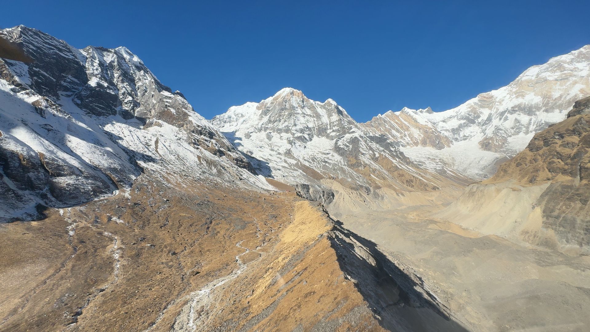
Mountain range
अन्नपूर्ण हिमाल
8,091 m
The Annapurna Himal is a massif of peaks in central Nepal, topped by Annapurna I at 8,091 m. It includes Annapurna II, III, IV, Annapurna South, Gangapurna and Machhapuchhre. The Annapurna Circuit loops right around it.
Read place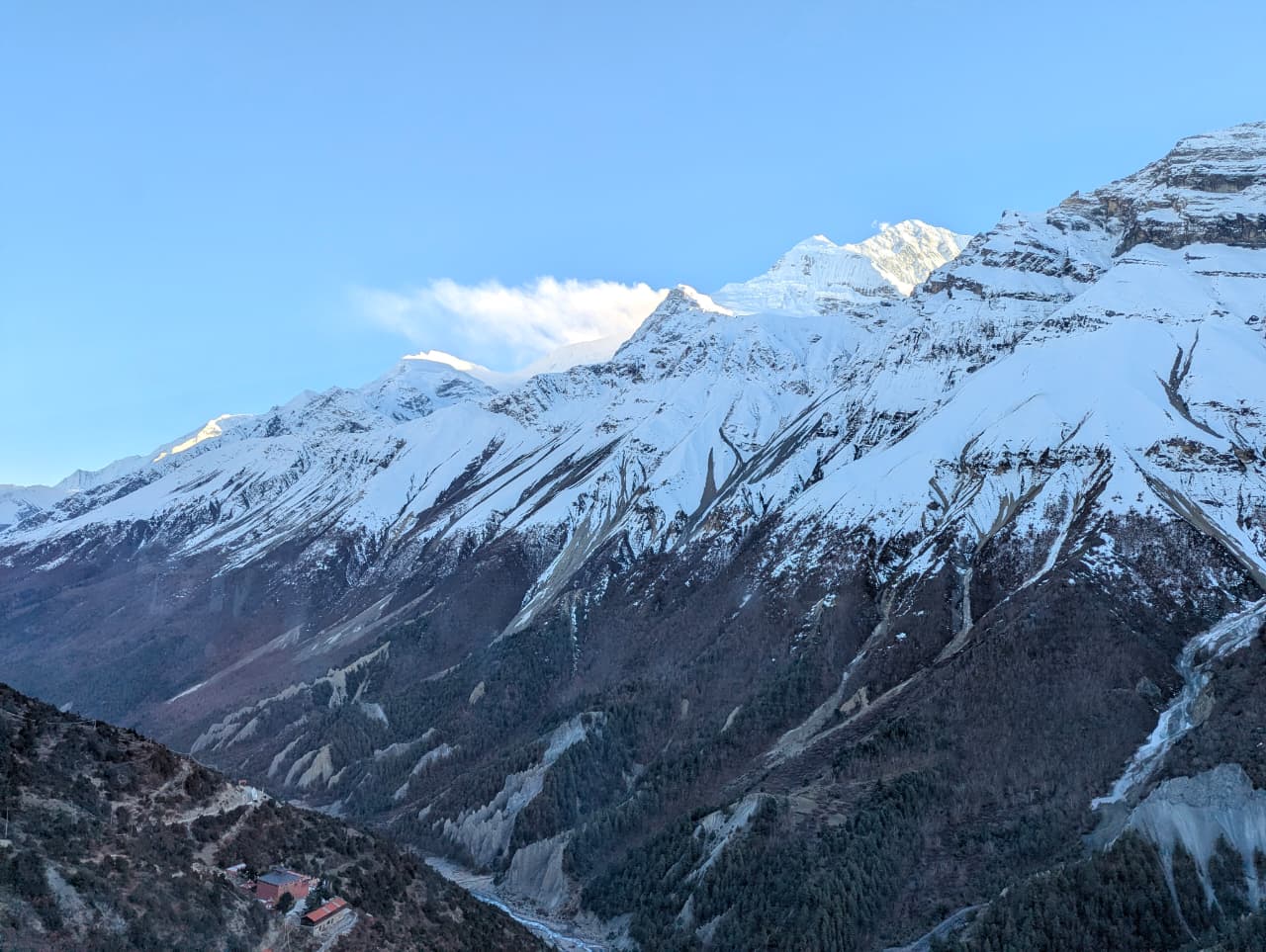
Mountain peak
अन्नपूर्ण प्रथम
8,091 m
Annapurna I is the tenth-highest mountain in the world at 8,091 m and the first 8,000 m peak to be climbed, by a French expedition in 1950. Its name means “goddess of the harvests”. Trekkers see its south face from Annapurna Base Camp and its north side from Annapurna North Base Camp.
Read place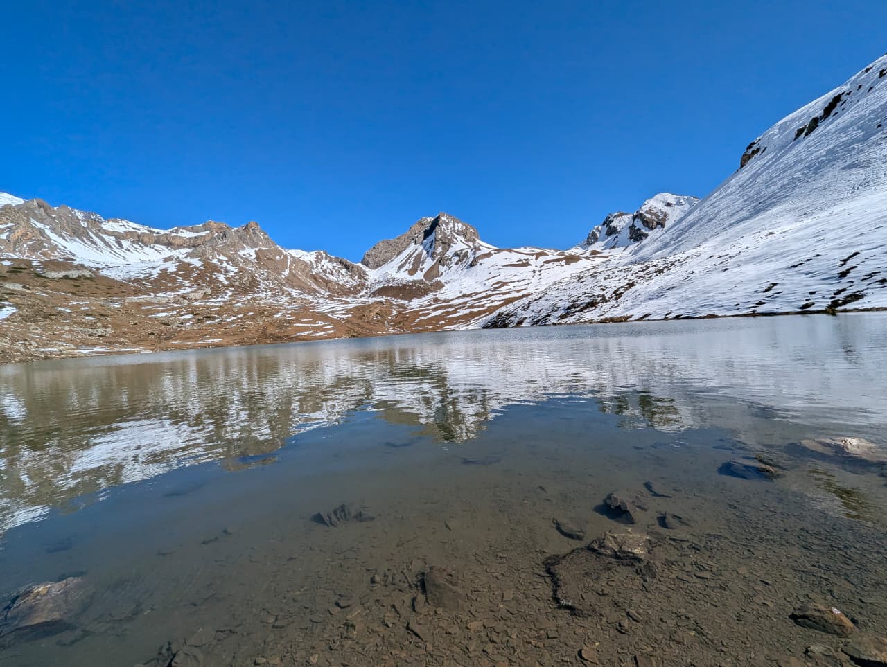
Mountain peak
अन्नपूर्ण द्वितीय
7,937 m
Annapurna II is a 7,937 m peak at the eastern end of the Annapurna massif. It dominates the views from Chame, Pisang and Manang. Its huge north face looms over the Annapurna Circuit.
Read placeBase camp
अन्नपूर्ण उत्तर आधार शिविर
4,190 m
Annapurna North Base Camp is on the north side of Annapurna I, the approach used by Maurice Herzog’s 1950 French expedition. It looks directly at the north face of Annapurna. The trek is wild and remote, with camping or very basic lodges.
Read place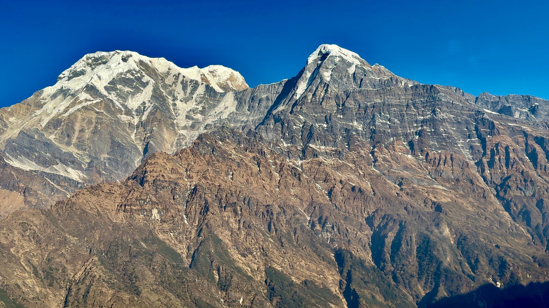
Mountain peak
अन्नपूर्ण दक्षिण
7,219 m
Annapurna South is a 7,219 m peak at the southern edge of the Annapurna Sanctuary, a dominant sight from Ghandruk, Ghorepani and Poon Hill. With Hiunchuli it forms the western gatepost of the Sanctuary.
Read place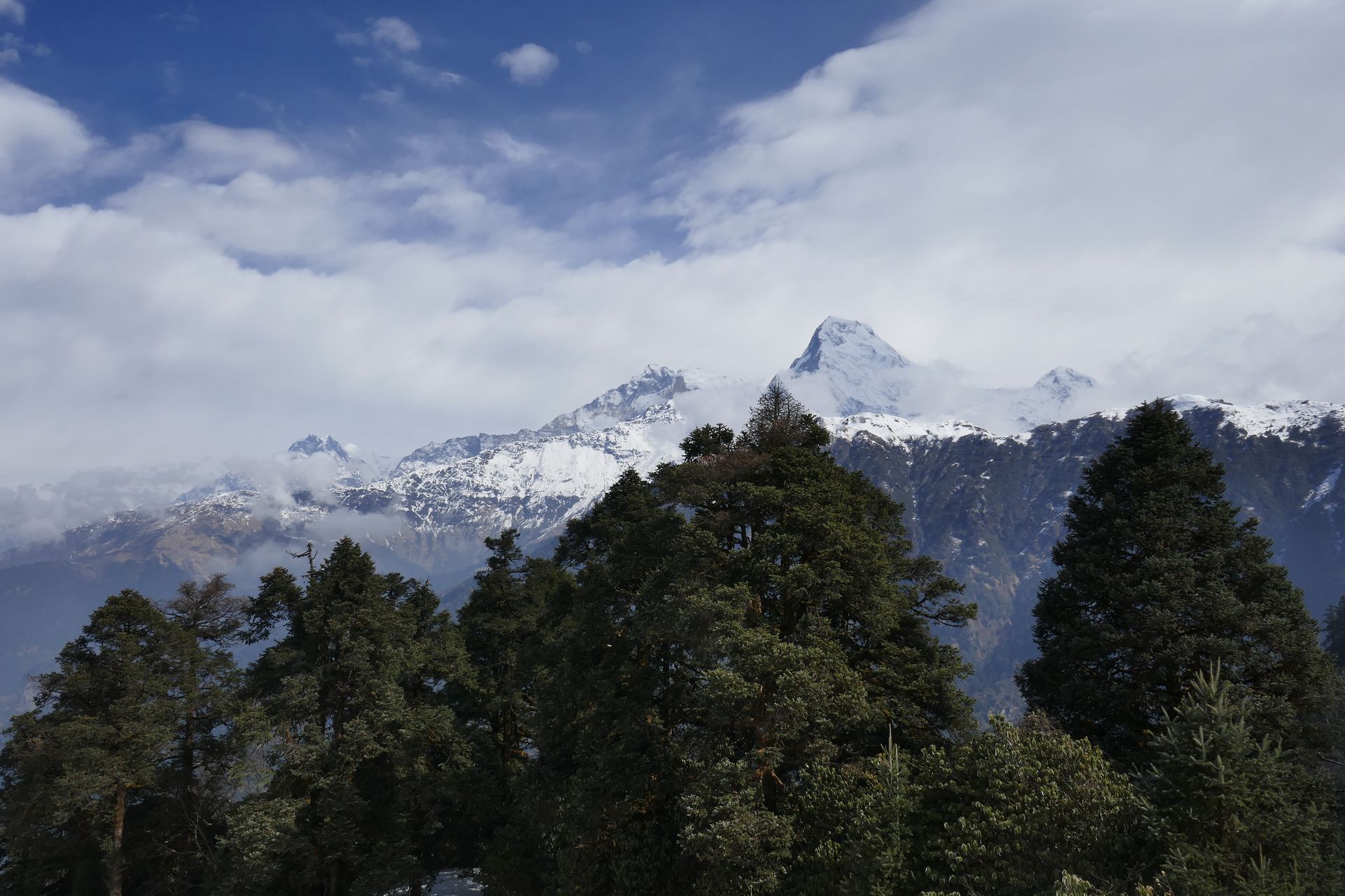
Base camp
अपि आधार शिविर
3,860 m
Api Base Camp is in the remote north-west corner of Nepal, beneath the steep face of Api. Few trekkers ever reach it. The trek passes Byasi villages and dense forest.
Read place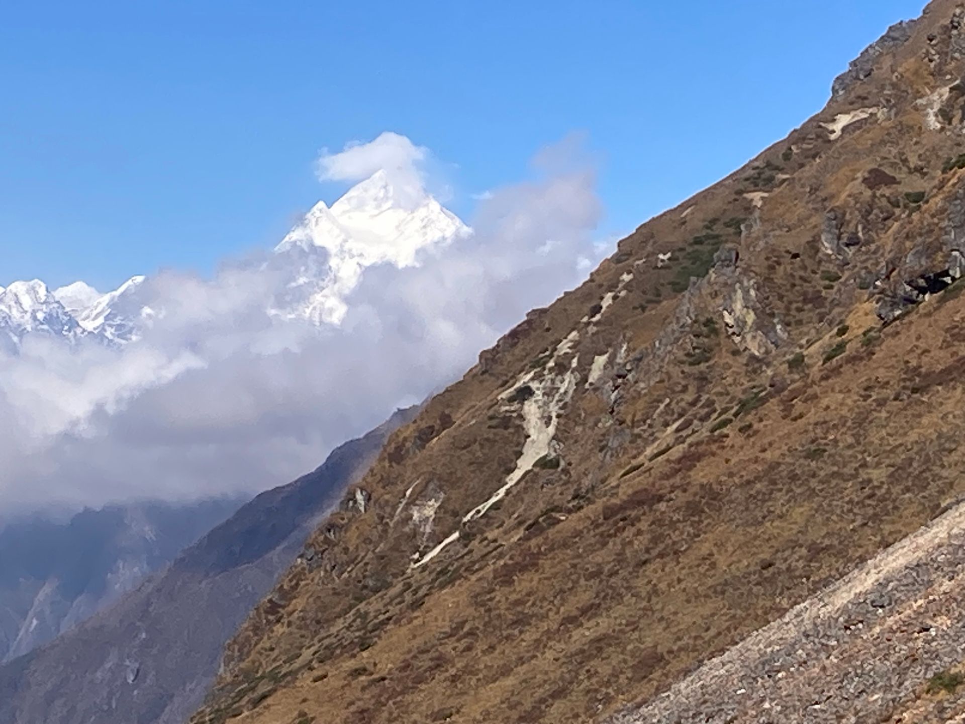
Mountain peak
अपि हिमाल
7,132 m
Api is a 7,132 m peak, the highest in far-western Nepal. Its remote setting near the Tibet border makes it one of the least visited Himalayan peaks. The Api Himal trek reaches its base camp.
Read place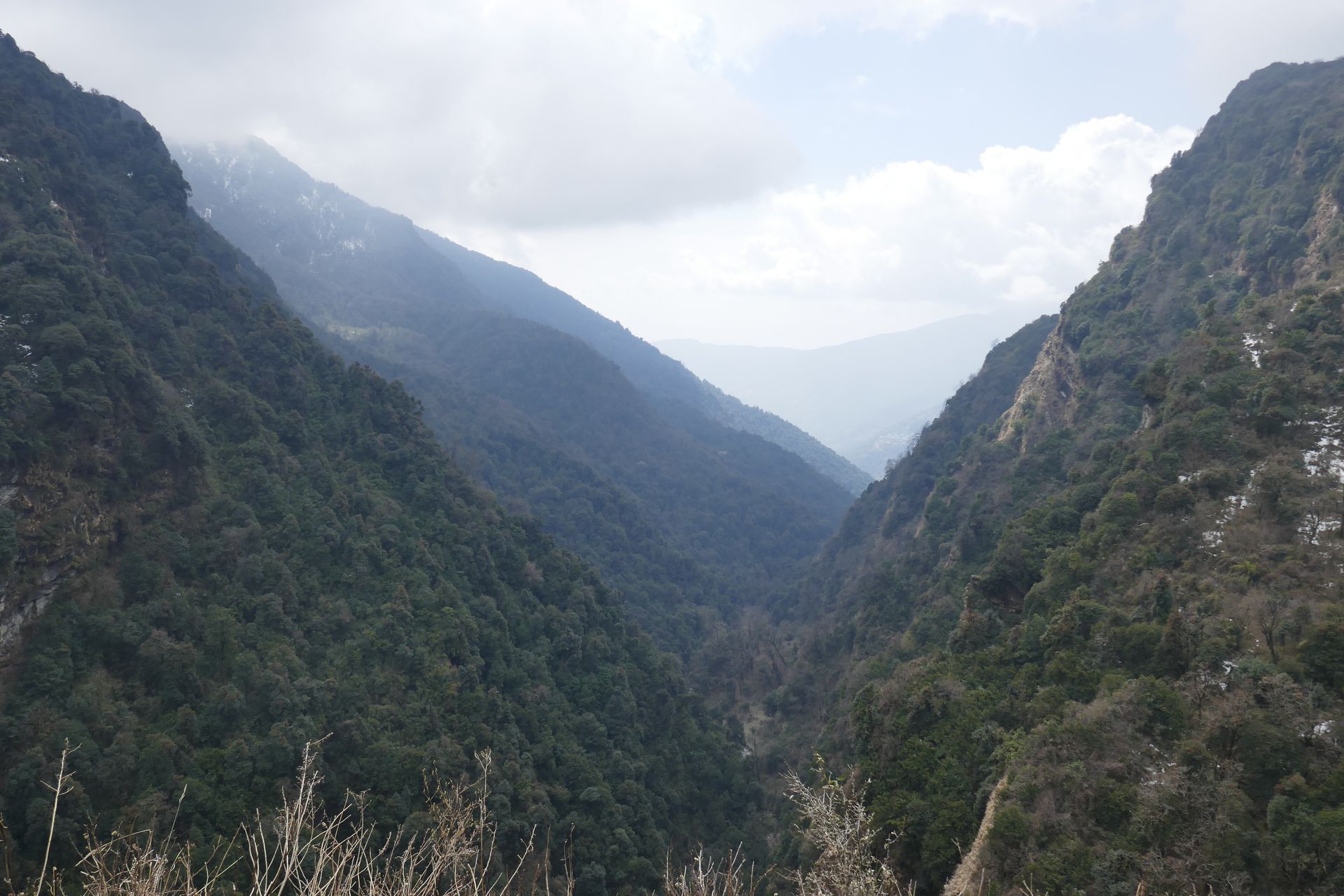
Conservation area
अपि नम्पा संरक्षण क्षेत्र
518 m
Api Nampa Conservation Area, established in 2010, covers about 1,903 km² in Darchula, including Api and Nampa peaks. It is one of Nepal’s newest and least visited protected areas. The Api Himal trek passes through it.
Read place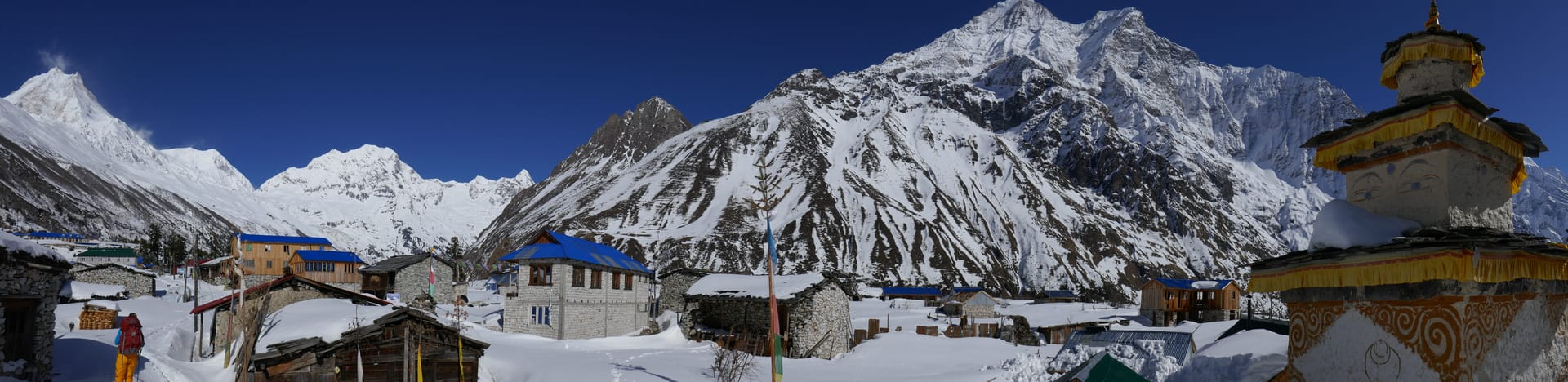
Town / city
आरुघाट
600 m
Arughat is a bazaar town on the Budhi Gandaki and the traditional start of the Manaslu Circuit and Tsum Valley treks. Jeeps continue upriver to Soti Khola and Machha Khola. Trekkers often stop here for last supplies.
Read place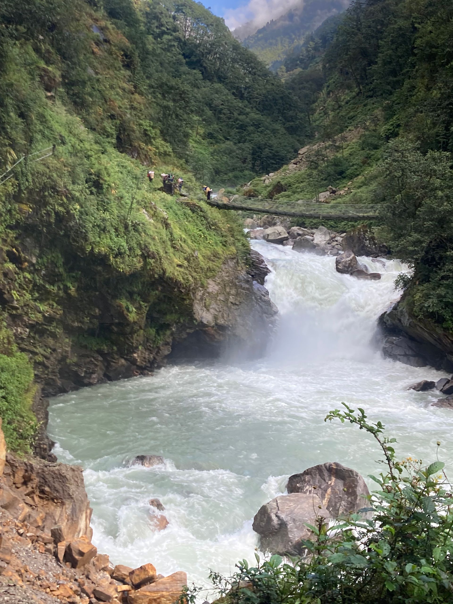
River
अरुण नदी
200 m
The Arun River rises in Tibet and cuts through the Himalaya between Makalu and Kanchenjunga, one of the oldest rivers in the region. It joins the Sapta Koshi in eastern Nepal. The Arun Valley trek follows its warm, terraced valleys.
Read place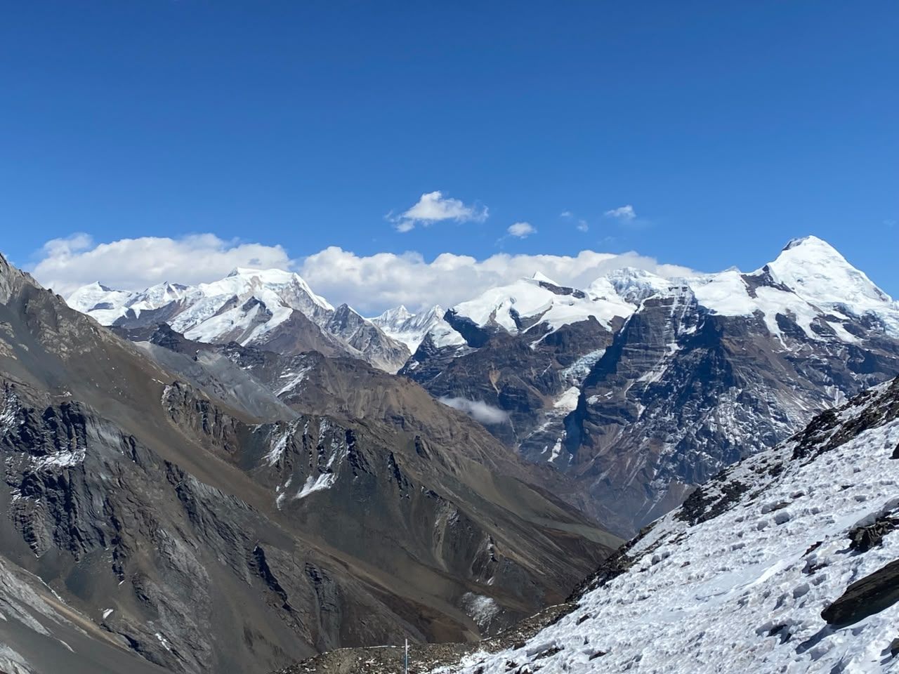
Viewpoint
अस्ट्रेलियन क्याम्प
2,060 m
Australian Camp is a grassy ridge-top above Kande with a close-up view of Annapurna South, Machhapuchhre and the Annapurna range. It is an easy first stop on the Mardi Himal trek. Its name comes from Australian trekking groups who camped here in the early days.
Read place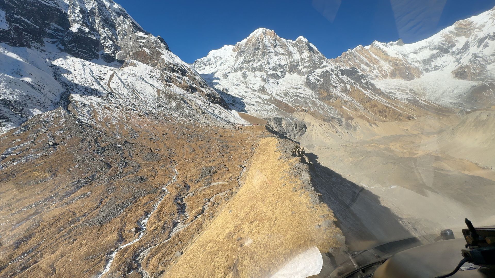
Camping site
बादल डाँडा
3,210 m
Badal Danda, meaning “cloud ridge”, is a small lodge stop on the Mardi Himal trail above the treeline. Clouds often fill the valleys below. It is a stop between Low Camp and High Camp.
Read place

