

Lake
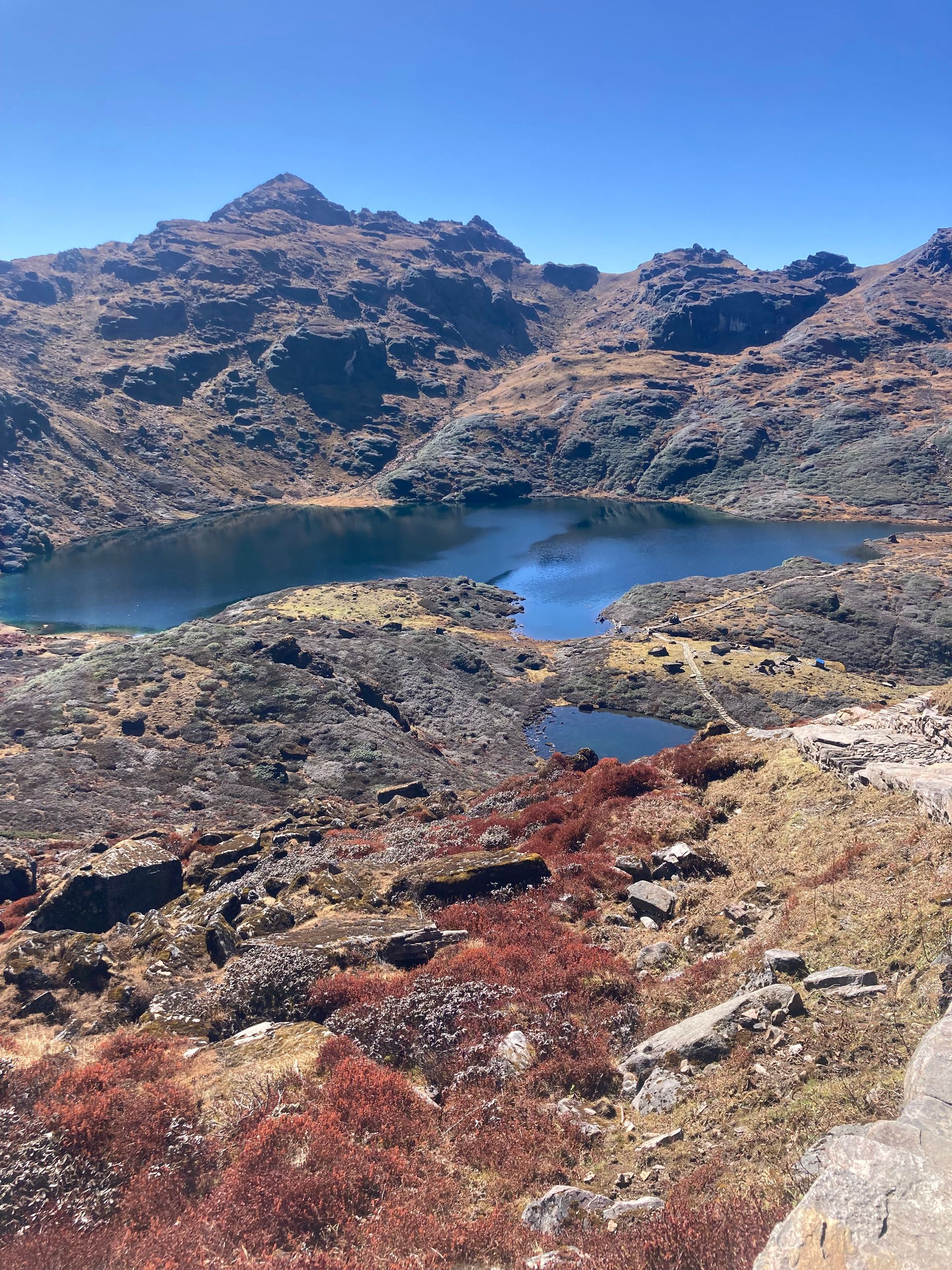
Timung Pokhari
Timung Pokhari is a high alpine lake (pokhari) in the Kanchenjunga region of Taplejung district.
Read placeThe region
Lake
Timung Pokhari is a high alpine lake (pokhari) in the Kanchenjunga region of Taplejung district.
Read place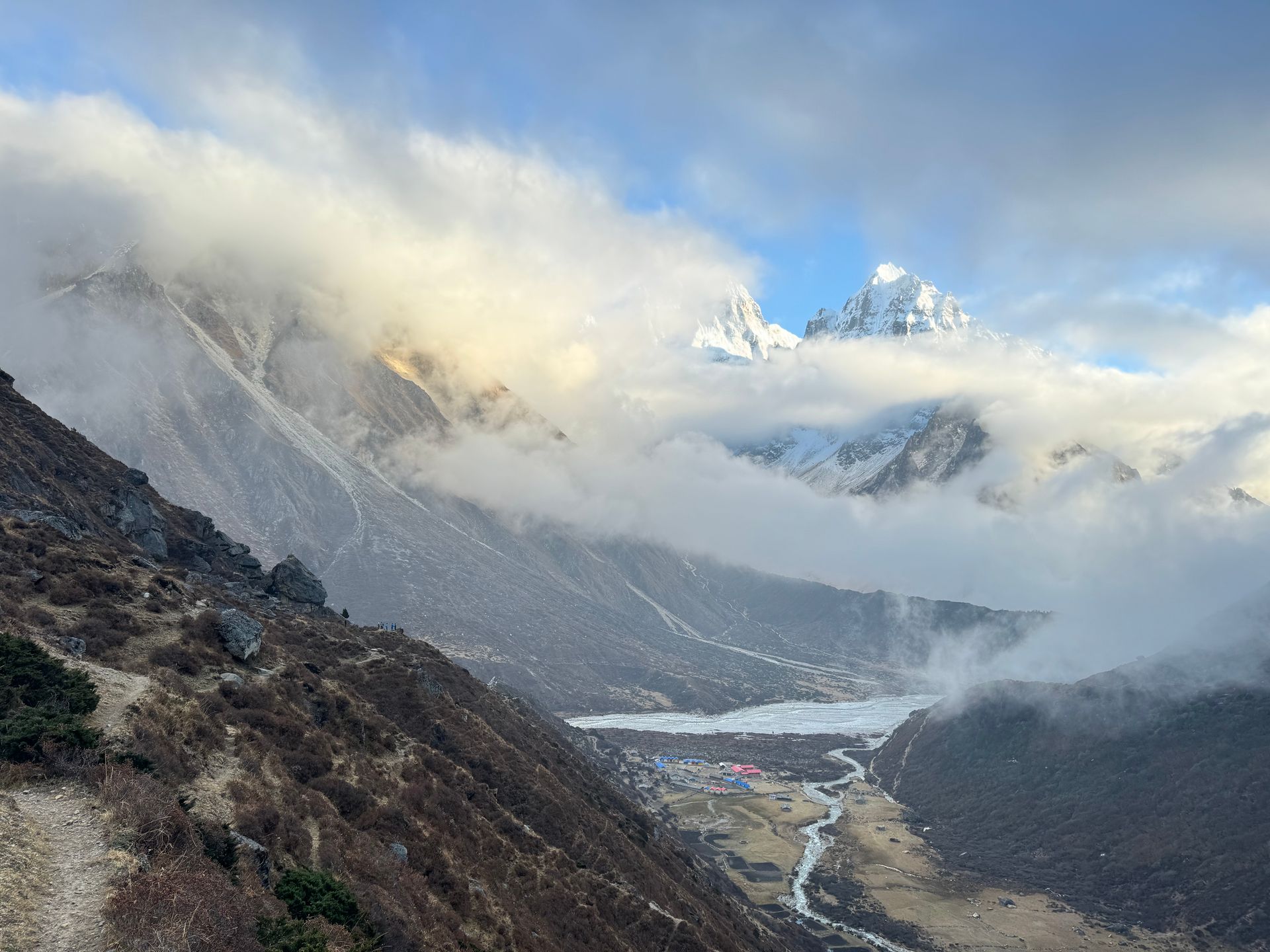
Viewpoint
तिन्जुरे
2,900 m
Tinjure is a ridge in the Tinjure–Milke–Jaljale area, known as the rhododendron capital of Nepal, with dozens of species. It offers wide views of Kanchenjunga, Makalu and Everest. It is best visited in April when the forests bloom.
Read place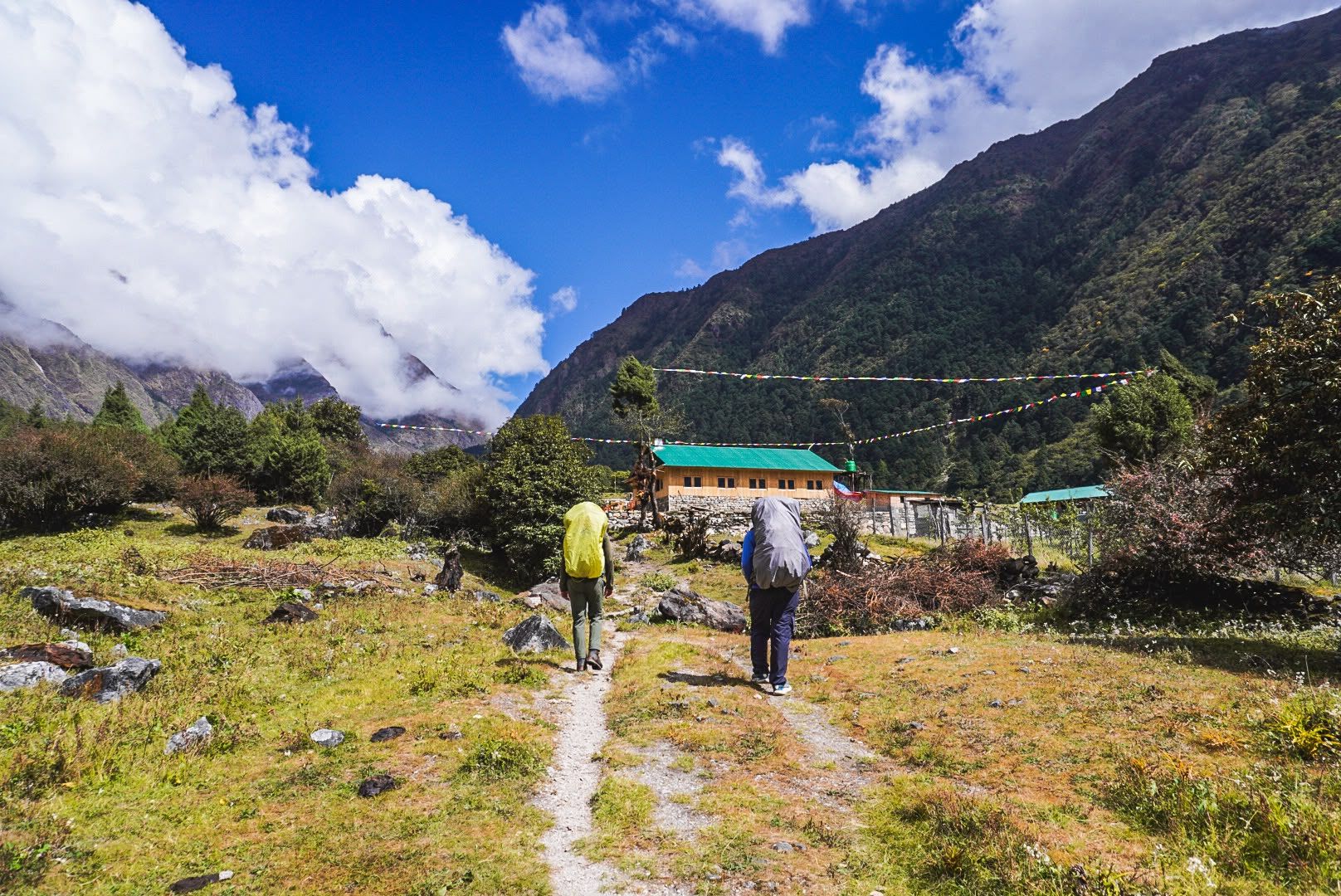
Village
Torangdin
Tortong, also known as Torangdin, is a remote trekking stop at around 2,980m on the forested southern approach to Kanchenjunga South Base Camp.
Read place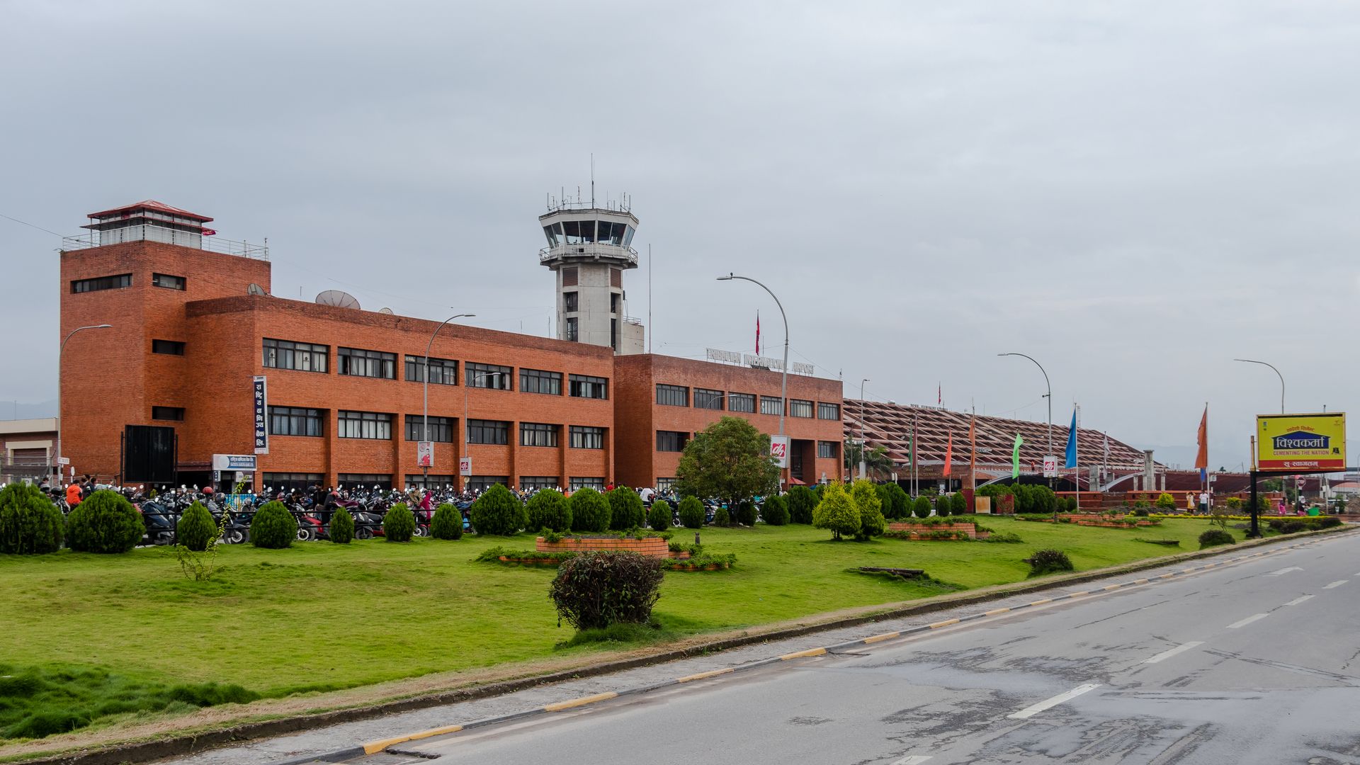
Airstrip / airport
Tribhuvan International Airport (KTM) is Nepal’s main international airport in Kathmandu and a major gateway for travelers beginning Himalayan trekking adventures.
Read place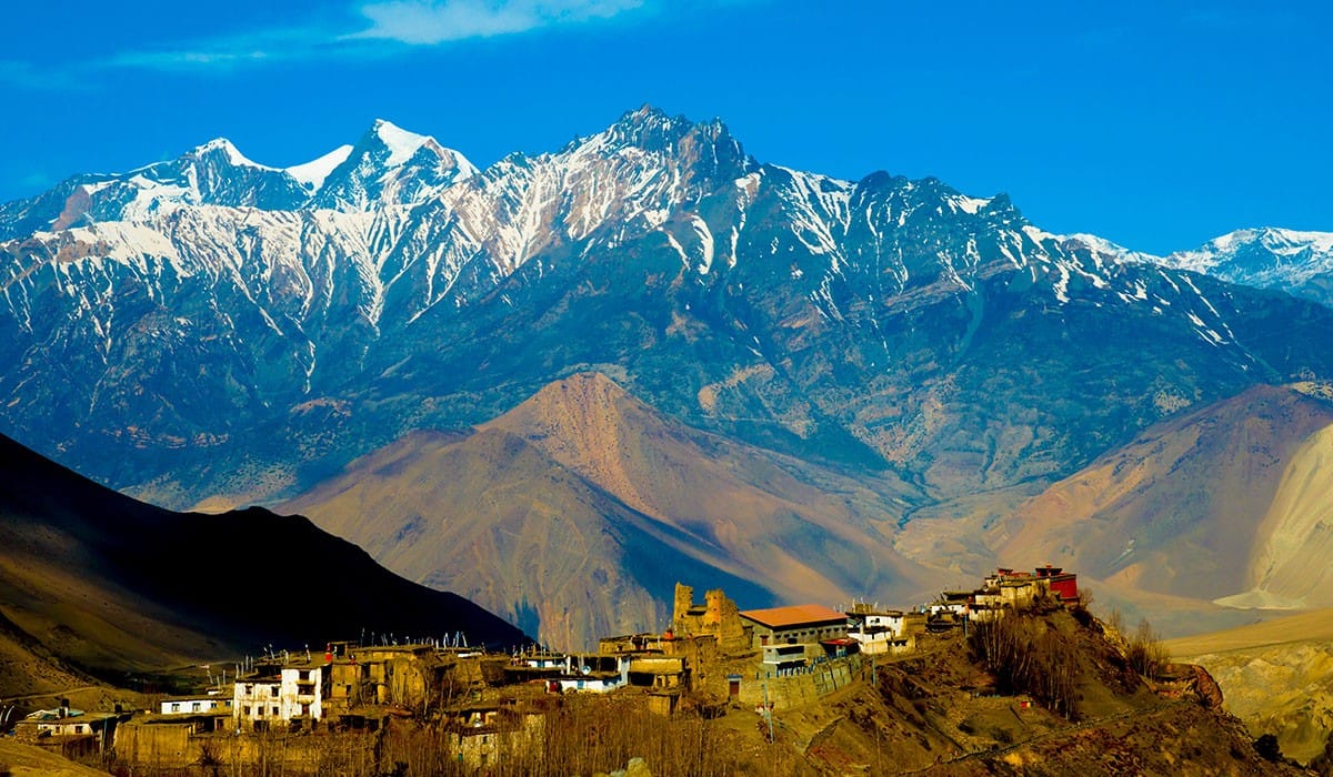
Village
चराङ
3,560 m
Tsarang, also spelled Charang, is a large Upper Mustang village with an old palace and a 15th-century monastery. It sits on the edge of a canyon. It is the last overnight stop before Lo Manthang.
Read place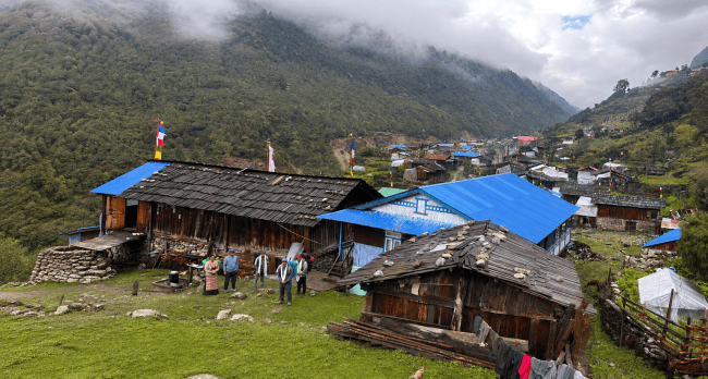
Village
Cheram
3,870 m
Tseram, also known as Cheram, is a high-altitude settlement at around 3,870m and an important overnight stop on the southern Kanchenjunga trekking route.
Read place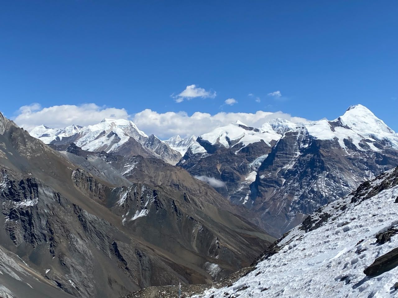
Viewpoint
चेर्को री
4,984 m
Tserko Ri is a higher viewpoint above Kyanjin Gompa, a long day hike with a panorama of Langtang Lirung, Dorje Lakpa and the Langtang Himal. It is more demanding than Kyanjin Ri but more rewarding.
Read place
Lake
छो रोल्पा
4,580 m
Tsho Rolpa is one of the largest glacial lakes in Nepal, dammed by the moraine of the Trakarding Glacier. A drainage project in 2000 lowered the lake to reduce the risk of a glacial outburst flood.
Read place
Valley
चुम उपत्यका
1,900 m
Tsum Valley is a sacred Himalayan valley in northern Gorkha, regarded as a beyul, or hidden valley. It opened to trekkers in 2008 and preserves a strong Tibetan Buddhist culture. It is reached via Philim on the lower Manaslu route.
Read place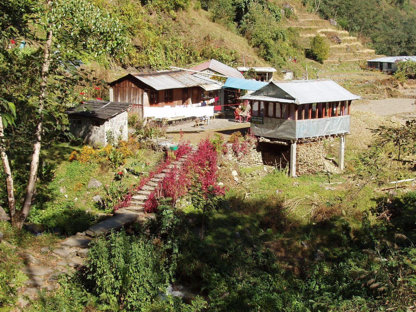
Village
टुकुचे
2,590 m
Tukuche was once the main trading centre of the Thakali salt trade between Tibet and India. Its old merchant houses, gompas and a distillery remain. It faces Tukuche Peak and Dhaulagiri.
Read place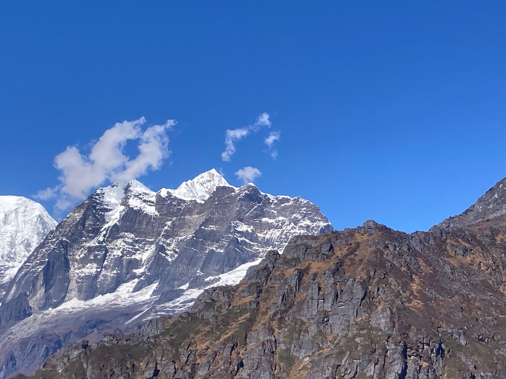
Town / city
तुम्लिङटार
410 m
Tumlingtar is a warm valley town on the Arun River with an airstrip, the gateway to the Makalu region. Flights from Kathmandu take about 45 minutes. Jeeps continue from here to Num and Seduwa.
Read place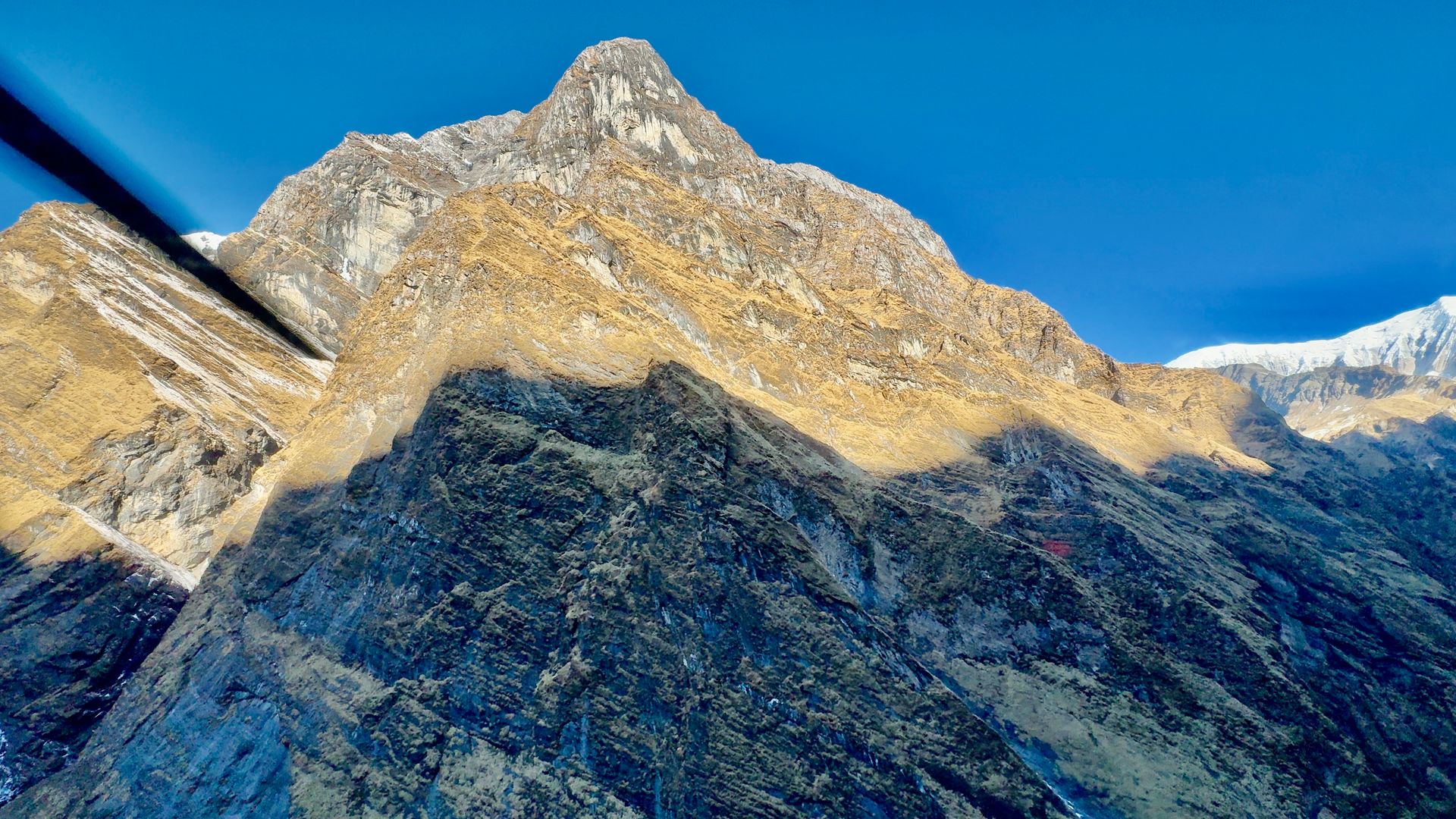
Village
उल्लेरी
2,070 m
Ulleri is a Magar village at the top of a long stone staircase of over 3,000 steps from Tikhedhunga. Its lodges give the first good views of Annapurna South and Hiunchuli. Jeeps now reach Ulleri, so many trekkers start their Poon Hill walk here.
Read place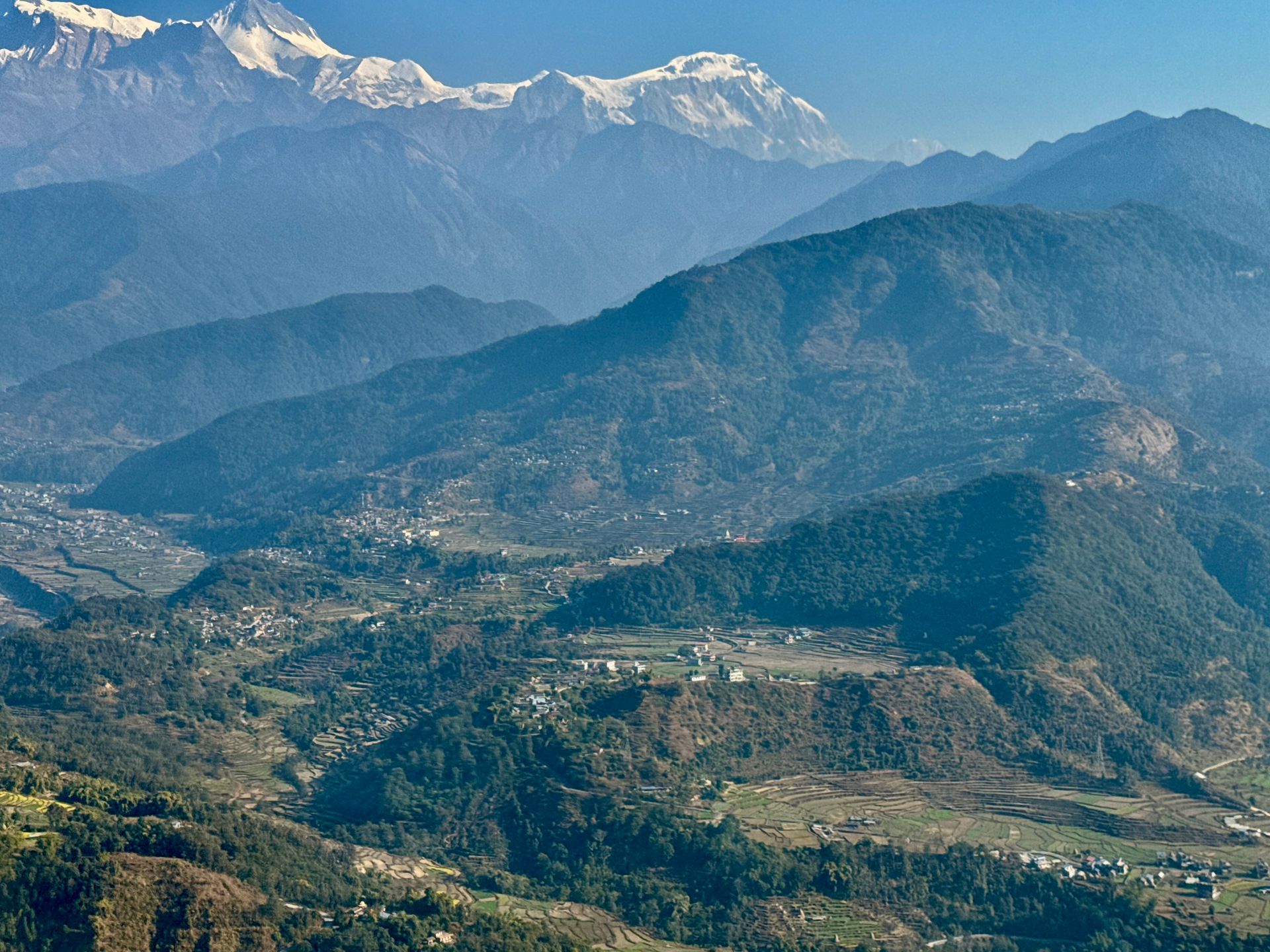
Village
माथिल्लो पिसाङ
3,310 m
Upper Pisang is the old Tibetan-style part of Pisang, with stone houses and a gompa overlooking Annapurna II. It is the start of the scenic upper route to Manang via Ghyaru and Ngawal. The upper route is harder but gives far better views and helps acclimatisation.
Read place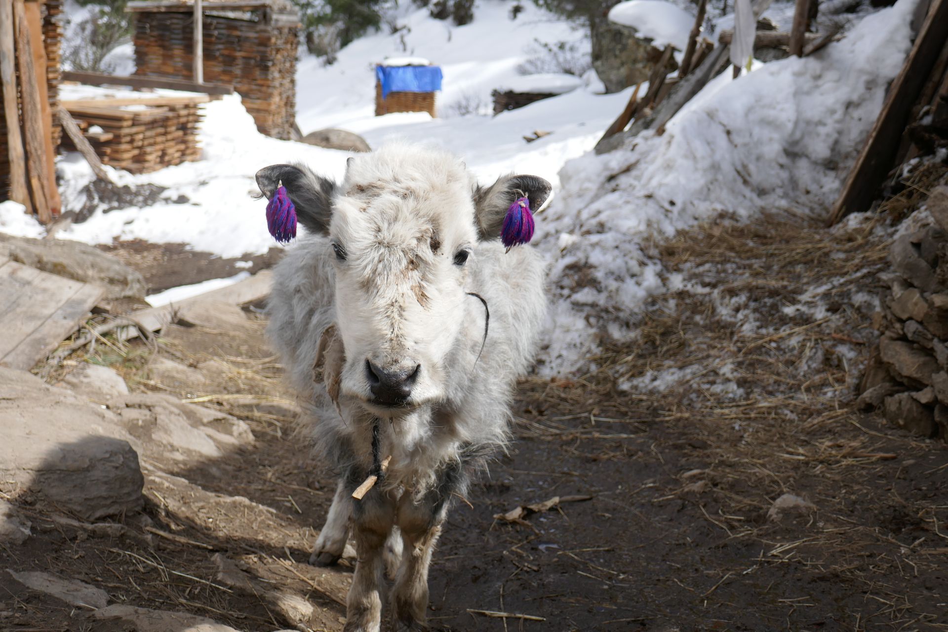
Village
याक खर्क
4,050 m
Yak Kharka is a pasture settlement on the way from Manang to Thorong La, where yaks graze in summer. It is a common overnight stop to manage altitude gain. Blue sheep are often seen on the slopes nearby.
Read place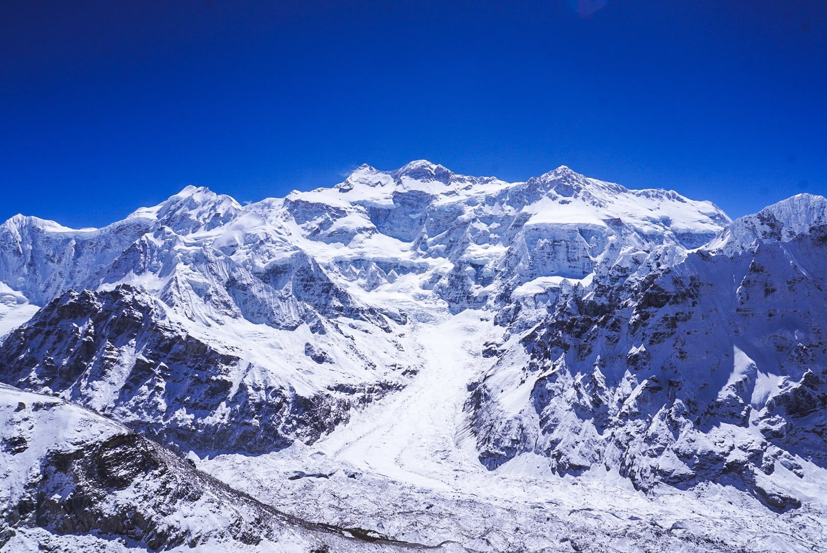
Glacier
4,500 m
The Yalung Glacier flows beneath the south-west face of Kanchenjunga. Oktang and Kanchenjunga South Base Camp lie on its moraine.
Read place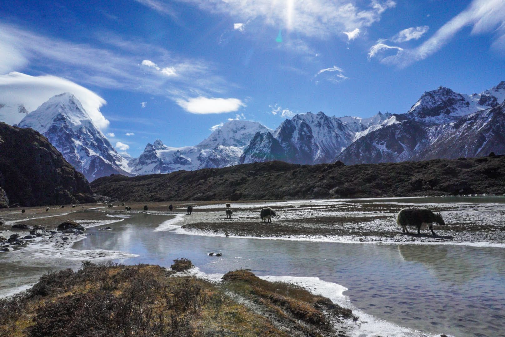
River
3,500 m
The Yalung River drains the Yalung Glacier below the south face of Kanchenjunga, flowing down the Yalung valley into the Simbua Khola.
Read place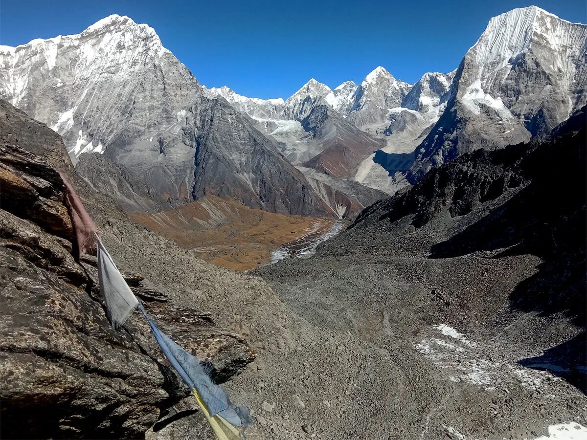
Valley
Yalung
4,500 m
Yalung Valley is a spectacular high-altitude valley on the southern side of Mount Kanchenjunga in eastern Nepal. The valley leads toward the Kanchenjunga South Base Camp, with dramatic views of Kanchenjunga, glaciers, and surrounding Himalayan peaks.
Read place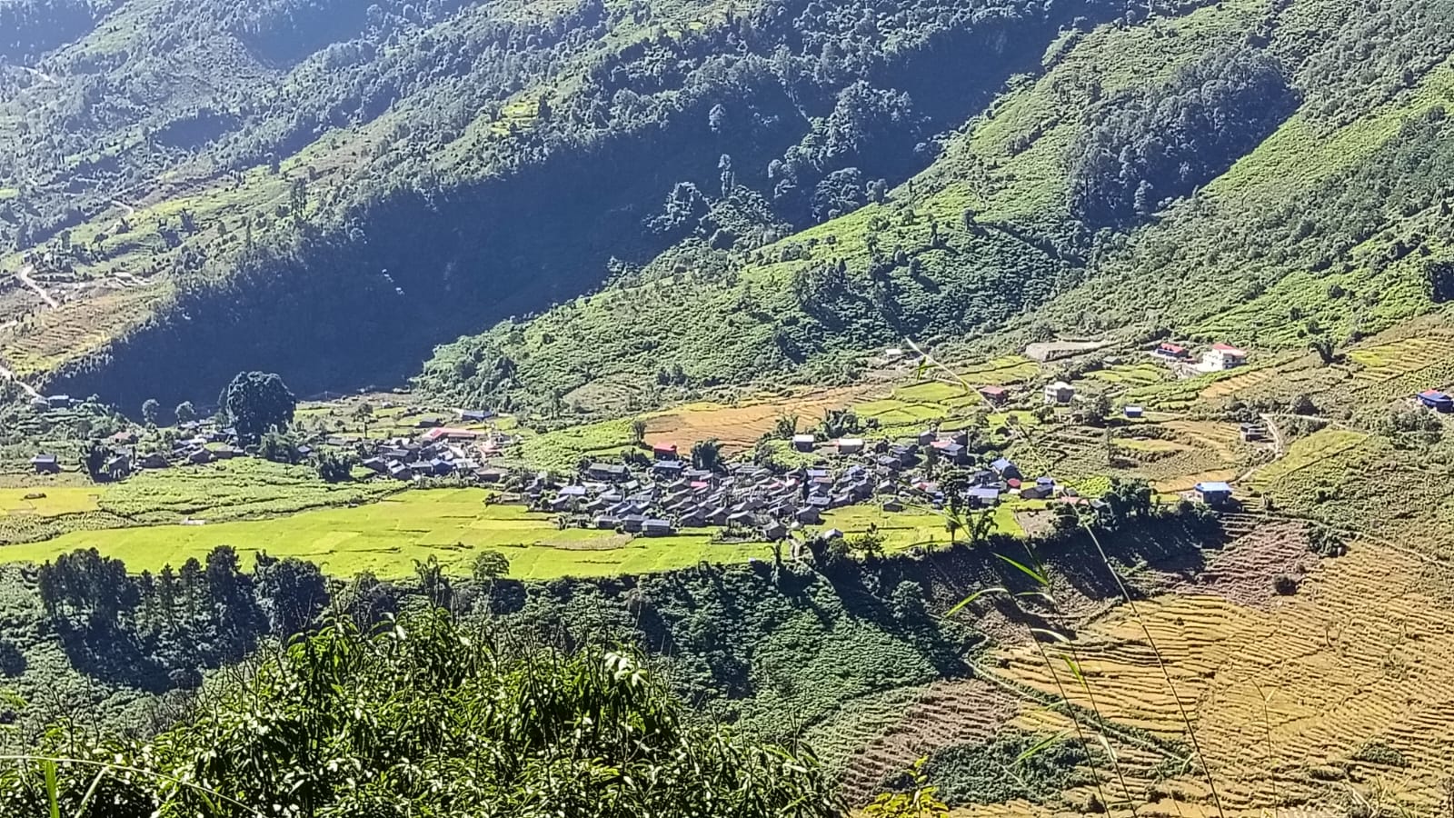
Village
याङले खर्क
3,557 m
Yangle Kharka is a pasture settlement in the Barun valley, below the main peaks. The valley here is lined with waterfalls and cliffs. It is a stop on the way up the Barun valley.
Read place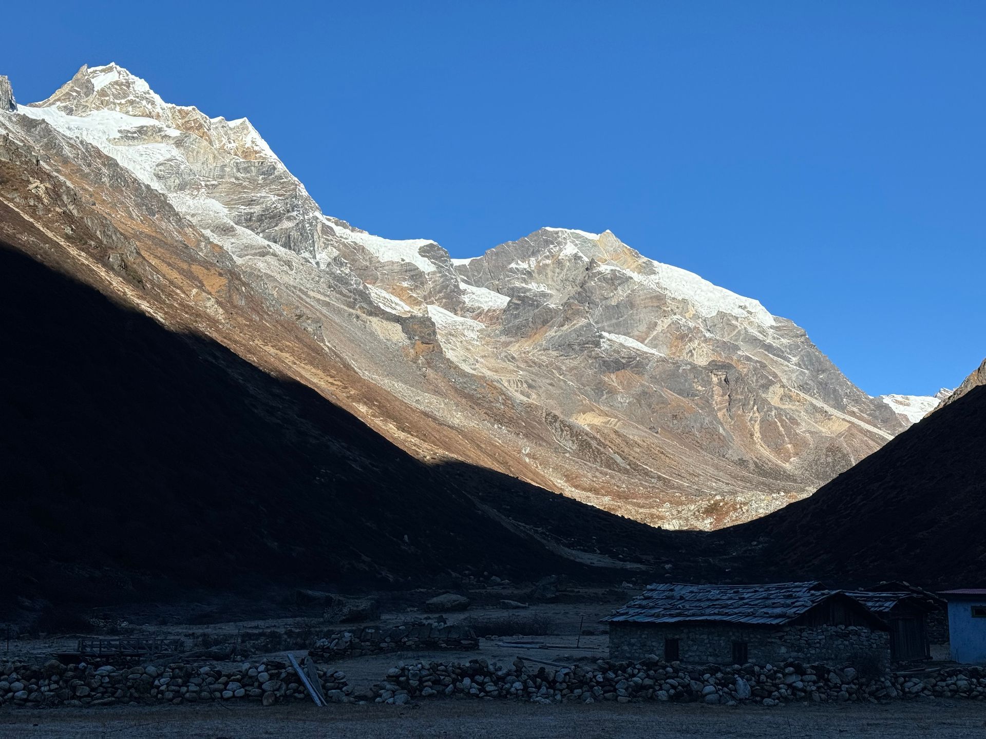
Village
याङ्मा
4,200 m
Yangma is a high, remote yak-herding village in the northern Kanchenjunga region, close to the Tibet border. It sits in a stark glacial valley. Only a few trekkers reach this far.
Read place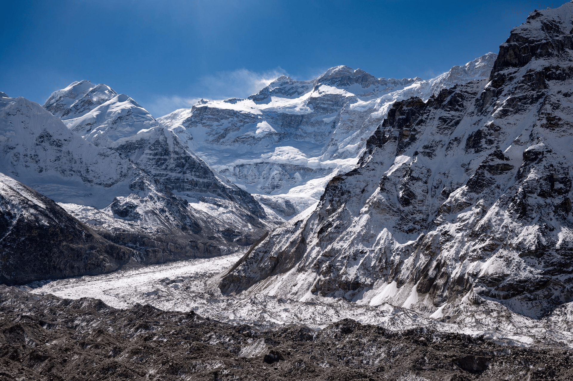
Glacier
4,200 m
The Zemu Glacier is the largest glacier in the Eastern Himalaya, flowing about 26 km from the east side of Kanchenjunga in Sikkim, India. It is not on any trekking route in Nepal.
Read placePlace types
 Chat with MadanTypically replies in a few minutes