River
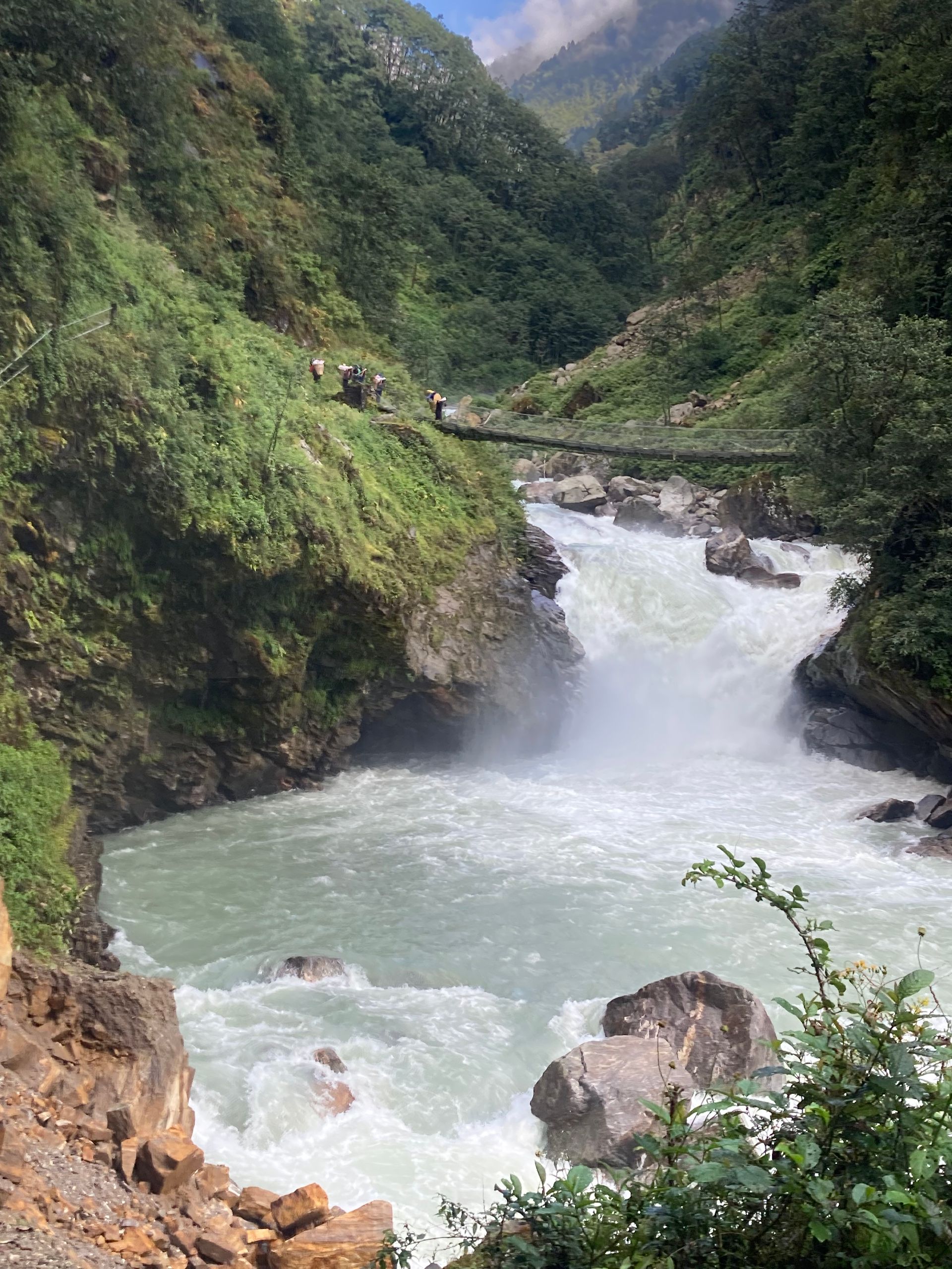
अरुण नदी
200 m
The Arun River rises in Tibet and cuts through the Himalaya between Makalu and Kanchenjunga, one of the oldest rivers in the region. It joins the Sapta Koshi in eastern Nepal. The Arun Valley trek follows its warm, terraced valleys.
Read place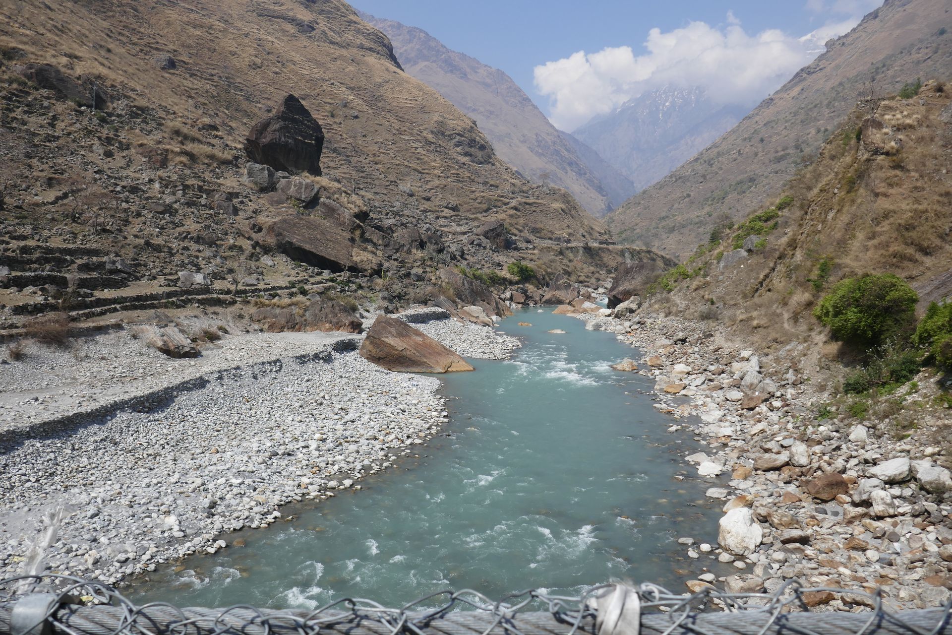
River
बुढीगण्डकी
500 m
The Budhi Gandaki rises near the Tibet border and flows south around Manaslu through a deep gorge to join the Trishuli near Benighat. The lower Manaslu Circuit follows it for several days.
Read place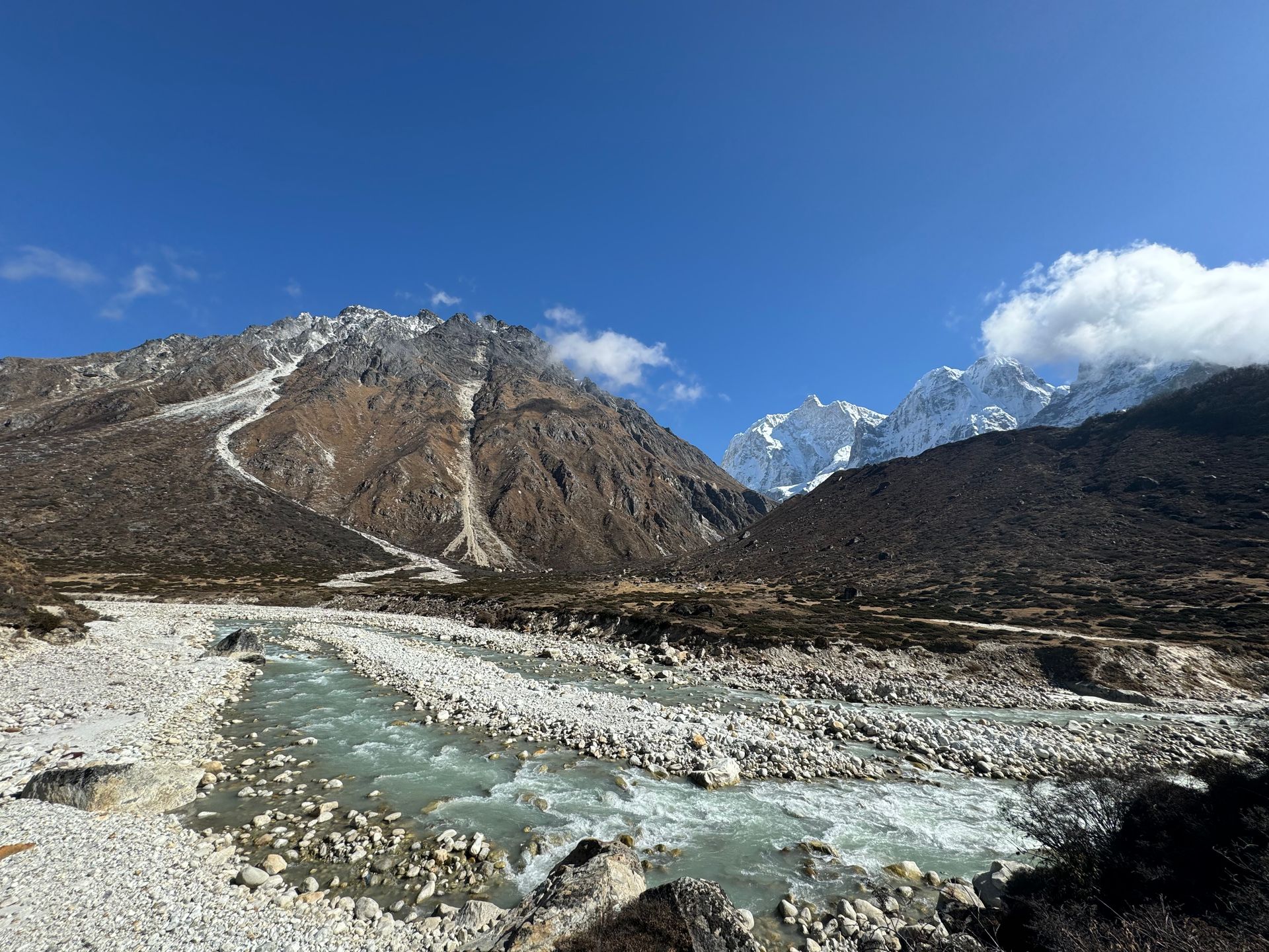
River
Chhiring Khola is a mountain stream in the Kanchenjunga region of Taplejung district, part of the Tamor river system.
Read place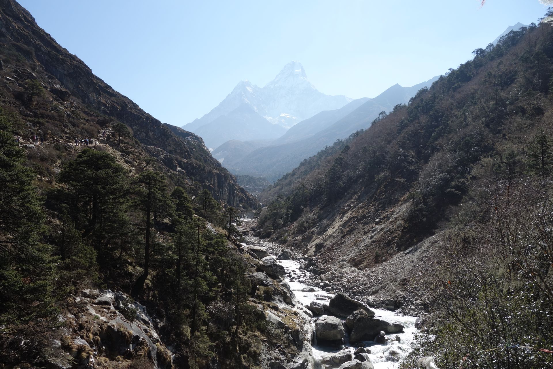
River
दूधकोशी
1,200 m
The Dudh Koshi, or “milk river”, drains the Everest Region, flowing from the Gokyo Lakes and Ngozumpa Glacier south past Namche and Lukla to join the Sun Koshi. Its milky glacial water gives it its name.
Read place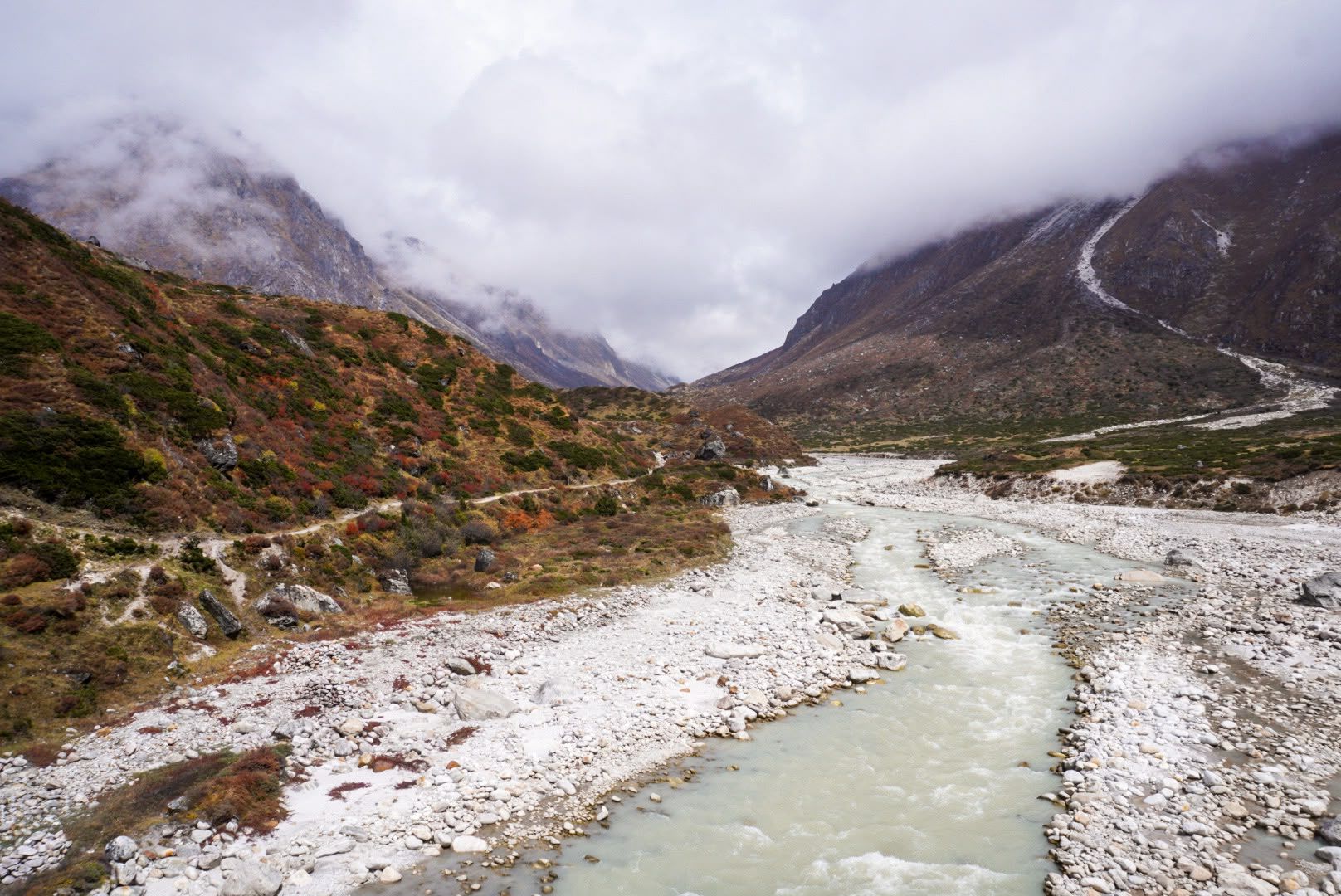
River
1,600 m
The Ghunsa River flows from the glaciers on the north side of Kanchenjunga past Lhonak, Kambachen and Ghunsa, joining the Tamor below Gyabla. Its water is milky with glacial silt.
Read place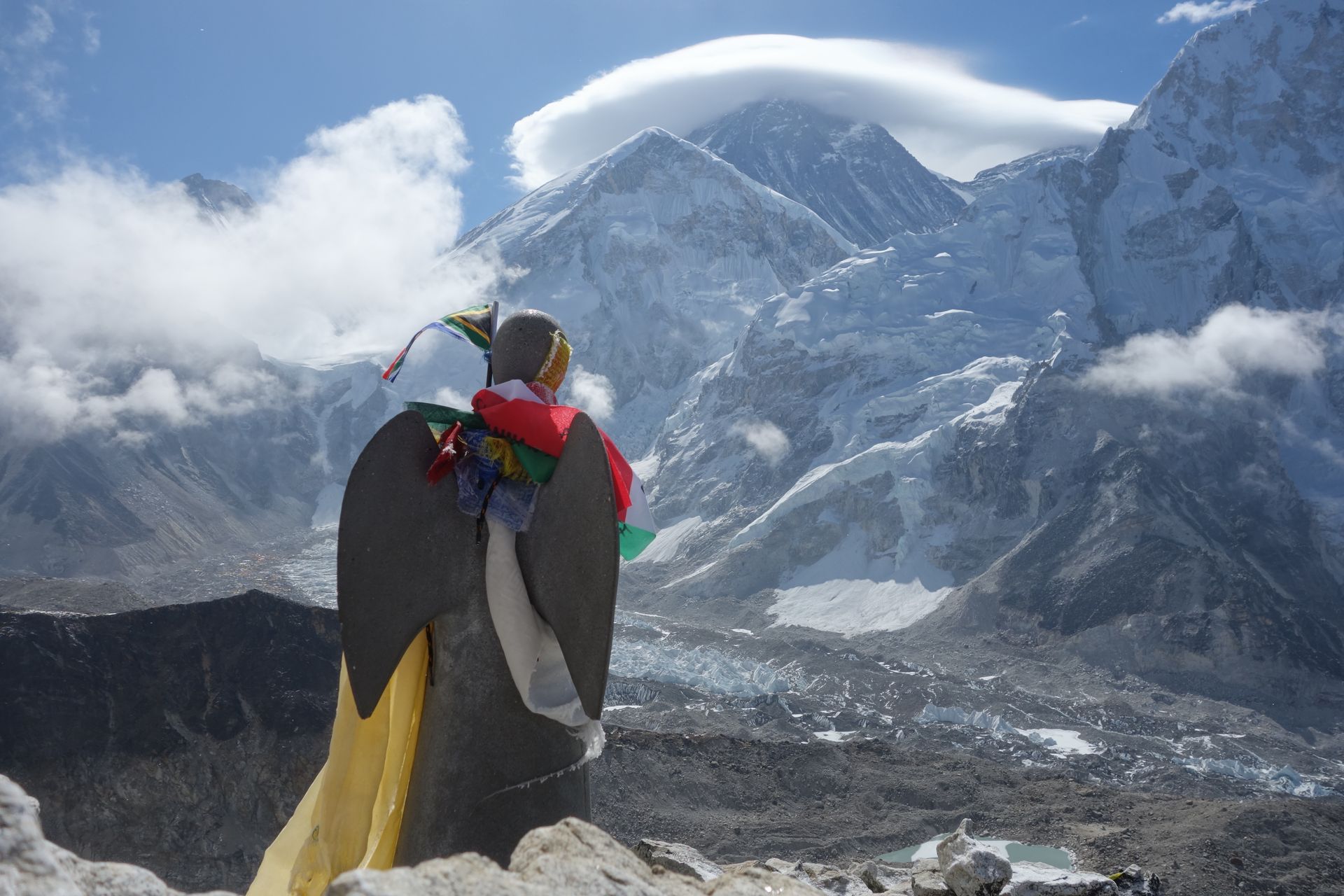
River
इम्जा खोला
3,250 m
The Imja Khola flows from the Imja Glacier and Imja Tsho lake below Island Peak, past Chhukung and Dingboche, to meet the Dudh Koshi below Tengboche. The EBC trail follows it from Pangboche up to Dingboche.
Read place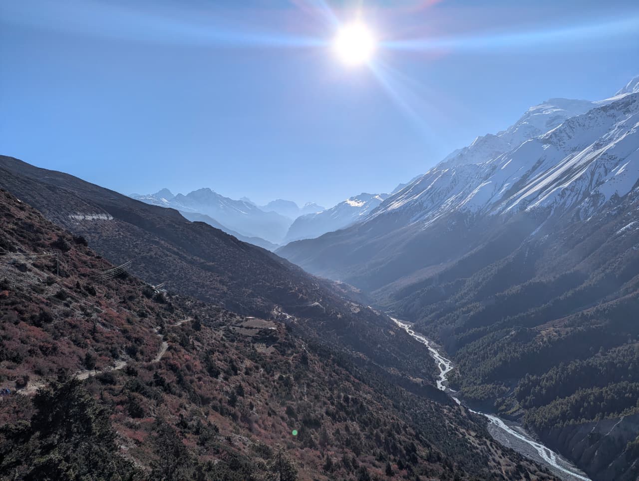
River
काली गण्डकी
500 m
The Kali Gandaki rises near the Tibetan border north of Lo Manthang and cuts between Dhaulagiri and Annapurna, forming one of the deepest gorges on Earth. Its riverbed is a source of ammonite fossils called shaligram, sacred to Hindus. The Annapurna Circuit and Mustang treks follow it for days.
Read place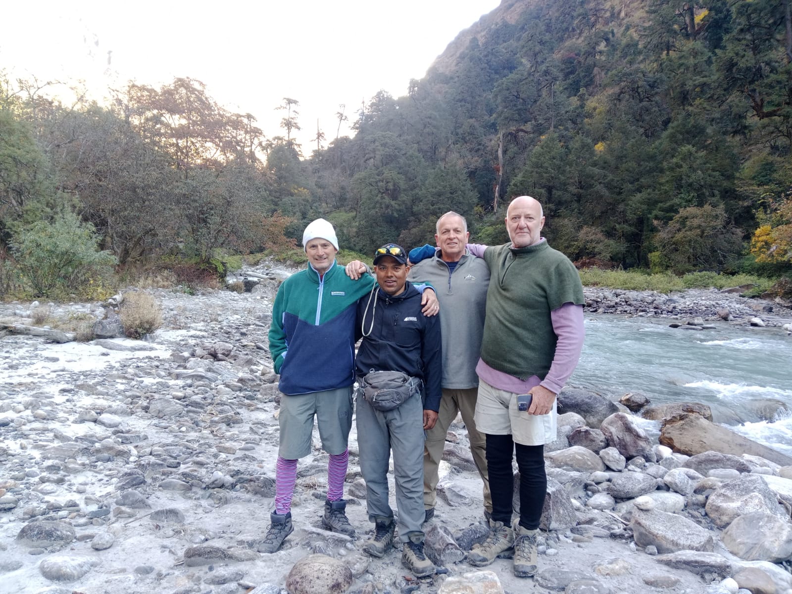
River
लाङटाङ खोला
1,460 m
The Langtang Khola flows from the Langtang Glacier down the valley to join the Bhote Koshi at Syabrubesi. The trek follows it all the way up the valley. The lower section runs through dense subtropical forest.
Read placeRiver
मर्स्याङ्दी नदी
350 m
The Marsyangdi rises in the high valleys of Manang and flows through a deep gorge between the Annapurna and Manaslu ranges to join the Trishuli at Mugling. The eastern half of the Annapurna Circuit follows the river from Besisahar to Manang.
Read place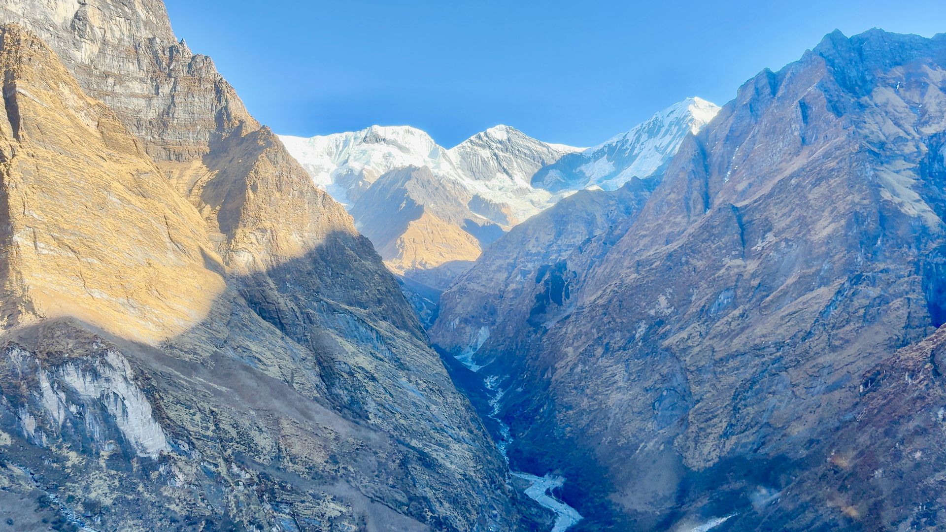
River
मोदी खोला
800 m
The Modi Khola drains the Annapurna Sanctuary, flowing south through a deep gorge past Chhomrong and Nayapul to join the Kali Gandaki near Kushma. The Annapurna Base Camp trail follows it all the way to its source.
Read place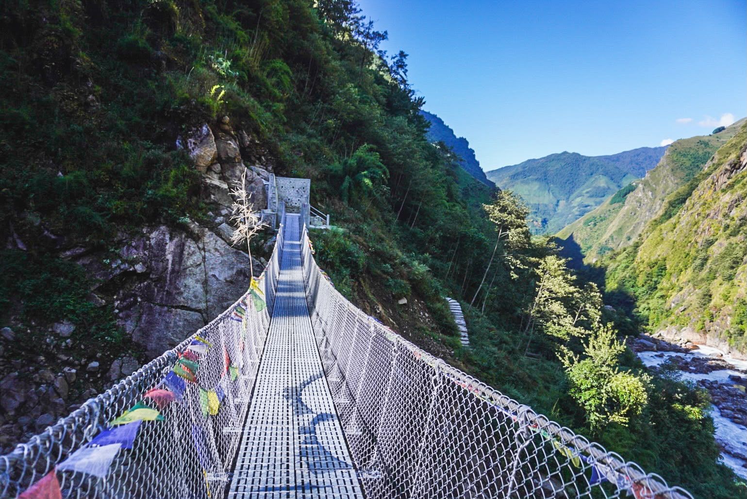
River
2,000 m
The Simbua Khola is the main river of the southern Kanchenjunga region, fed by the Yalung Glacier and flowing south-west to join the Tamor. The trail to Kanchenjunga South Base Camp follows it through dense forest past Tortong and Tseram.
Read place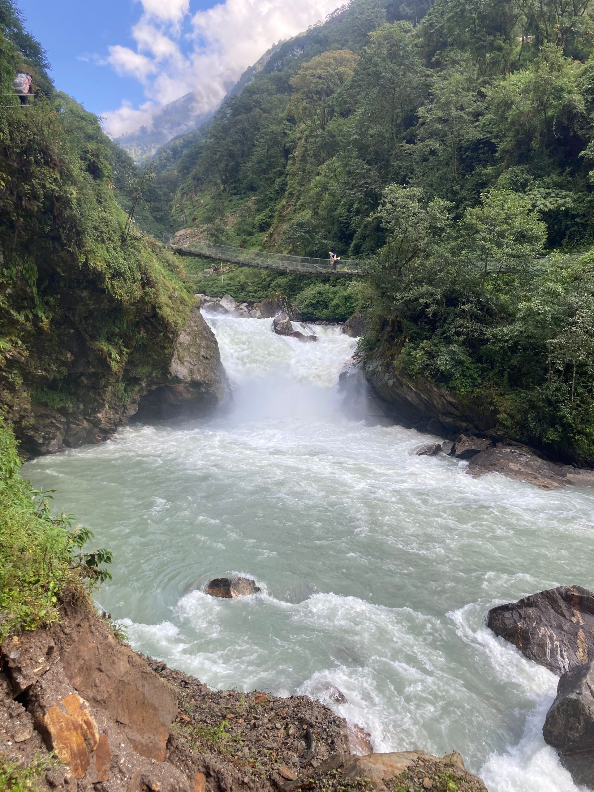
River
300 m
The Tamor River rises from the glaciers of the Kanchenjunga massif and flows south through Taplejung to join the Arun and Sun Koshi at Tribeni, forming the Sapta Koshi. It is the main river of eastern Nepal’s mountains.
Read place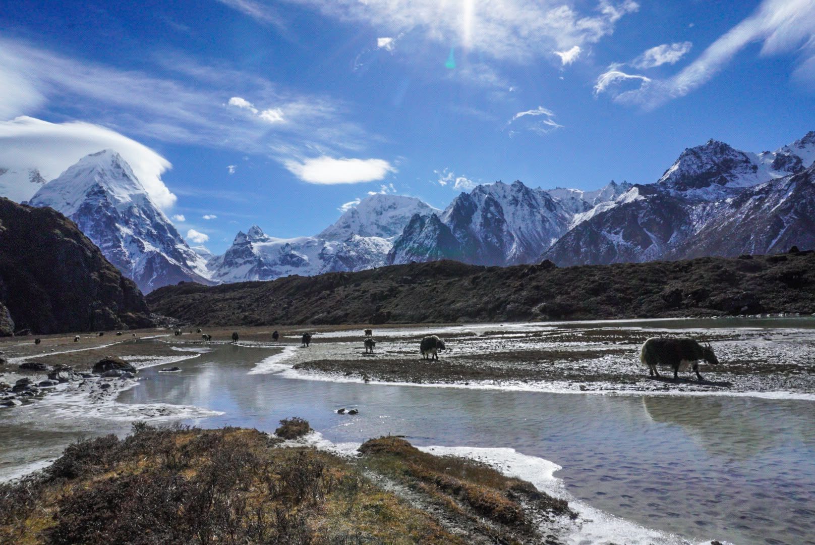
River
3,500 m
The Yalung River drains the Yalung Glacier below the south face of Kanchenjunga, flowing down the Yalung valley into the Simbua Khola.
Read place

