

River
Kali Gandaki River
काली गण्डकी
The Kali Gandaki rises near the Tibetan border north of Lo Manthang and cuts between Dhaulagiri and Annapurna, forming one of the deepest gorges on Earth. Its riverbed is a source of ammonite fossils called shaligram, sacred to Hindus. The Annapurna Circuit and Mustang treks follow it for days.
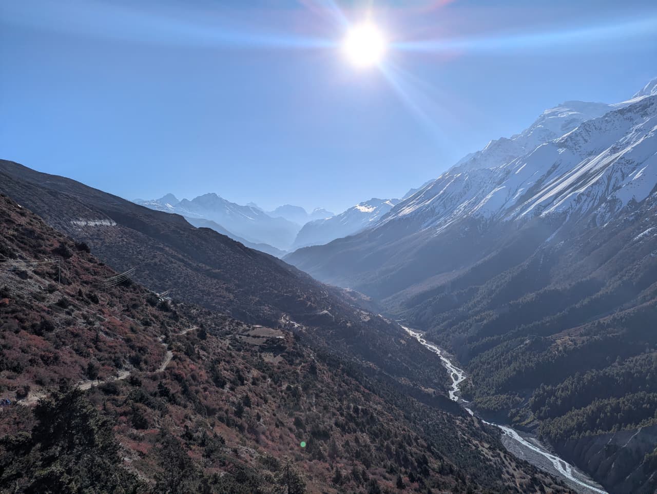
- Elevation: ~500–3,800 m
- Type: River
- Region: Annapurna Region
- District: Mustang / Myagdi
- Flows through one of the world’s deepest gorges
- Treks: Annapurna Circuit Trek, Upper Mustang Trek, Lower Mustang Trek
About Kali Gandaki River
The Kali Gandaki rises near the Tibetan border north of Lo Manthang and cuts between Dhaulagiri and Annapurna, forming one of the deepest gorges on Earth. Its riverbed is a source of ammonite fossils called shaligram, sacred to Hindus.
The Annapurna Circuit and Mustang treks follow it for days.
Location and altitude
Kali Gandaki River spans roughly 500 to 3,800 metres in Mustang and Myagdi districts, in the Annapurna Region of Nepal. Nearby places include Jomsom, Kagbeni and Tatopani (Myagdi).
Treks that visit Kali Gandaki River
Kali Gandaki River is part of these Nepal Trek Services itineraries: Annapurna Circuit Trek, Upper Mustang Trek and Lower Mustang Trek.
Best time to visit
Being in the Himalayan rain shadow, Kali Gandaki River sees little monsoon rain, so it can be visited from spring through autumn (roughly April to November). Winter is very cold.
Where is Kali Gandaki River?
The exact point on the Himalaya trail, with nearby places for context.
On this map
Nearby places
Town / city
Jomsom
जोमसोम
2,720 m
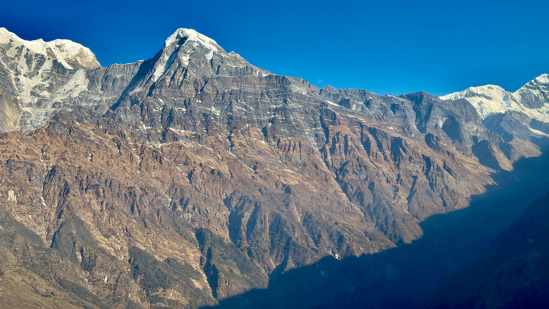
Jomsom is the district headquarters of Mustang, on the Kali Gandaki beneath Nilgiri. It is known for the strong winds that blow up the valley every afternoon. Flights to Pokhara and roads to Beni make it the main hub for Lower and Upper Mustang.
Read place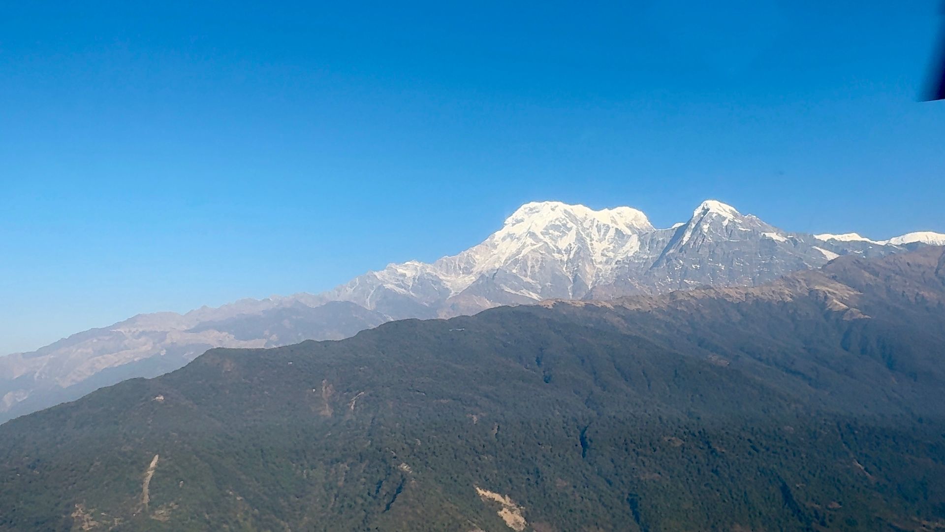
Village
Kagbeni
कागबेनी
2,810 m
Kagbeni is a medieval village of mud-brick houses at the confluence of the Kali Gandaki and Jhong Khola. It marks the boundary of restricted Upper Mustang, and its red Kag Chode monastery dates to the 15th century. Upper Mustang treks begin here, with permits checked at the checkpoint.
Read place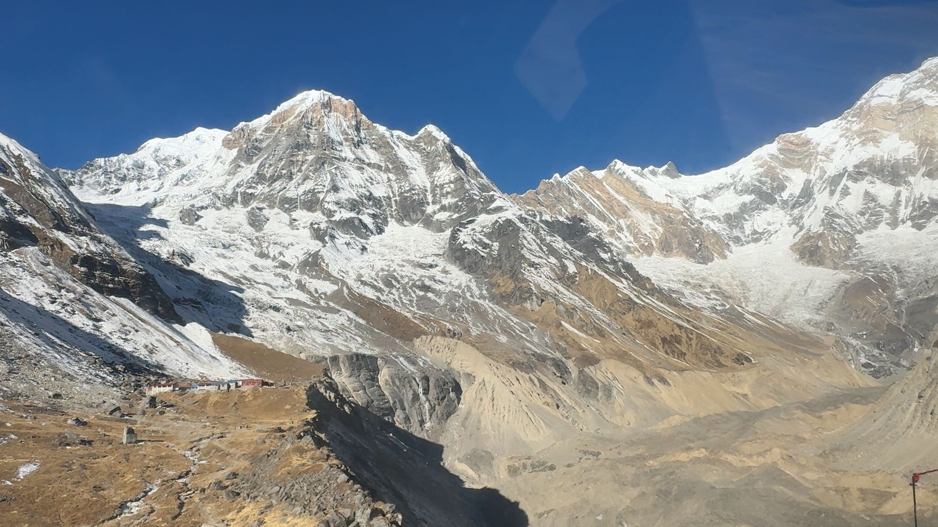
Village
Tatopani (Myagdi)
तातोपानी
1,190 m
Tatopani, meaning “hot water”, is a village in the Kali Gandaki gorge with hot spring pools beside the river. It is a classic stop where the Annapurna Circuit links to Ghorepani and Poon Hill. It is a good place to rest after the long descent from Jomsom.
Read place