

Town / city
Jomsom
जोमसोम
Jomsom is the district headquarters of Mustang, on the Kali Gandaki beneath Nilgiri. It is known for the strong winds that blow up the valley every afternoon. Flights to Pokhara and roads to Beni make it the main hub for Lower and Upper Mustang.
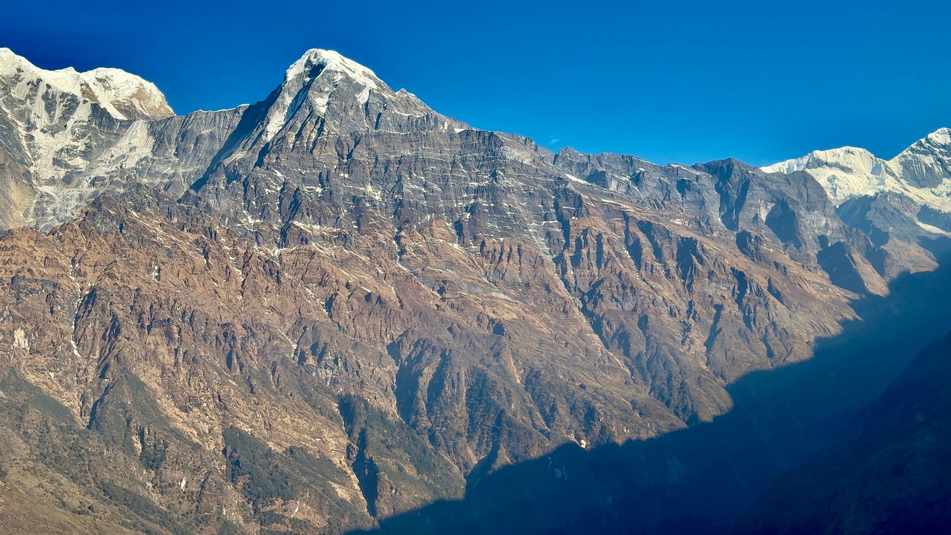
- Elevation: ~2,720 m / 8,924 ft
- Type: Town
- Region: Annapurna Region
- District: Mustang
- District headquarters of Mustang
- Treks: Annapurna Circuit Trek, Lower Mustang Trek, Upper Mustang Trek
About Jomsom
Jomsom is the district headquarters of Mustang, on the Kali Gandaki beneath Nilgiri. It is known for the strong winds that blow up the valley every afternoon.
Flights to Pokhara and roads to Beni make it the main hub for Lower and Upper Mustang.
Location and altitude
Jomsom sits at about 2,720 m (8,924 ft) in Mustang district, in the Annapurna Region of Nepal. It lies within Annapurna Conservation Area. Nearby places include Jomsom Airport, Marpha and Kagbeni.
Treks that visit Jomsom
Jomsom is part of these Nepal Trek Services itineraries: Annapurna Circuit Trek, Lower Mustang Trek and Upper Mustang Trek.
Best time to visit
Being in the Himalayan rain shadow, Jomsom sees little monsoon rain, so it can be visited from spring through autumn (roughly April to November). Winter is very cold.
Where is Jomsom?
The exact point on the Himalaya trail, with nearby places for context.
On this map
Nearby places
Airstrip / airport
Jomsom Airport
जोमसोम विमानस्थल
2,736 m
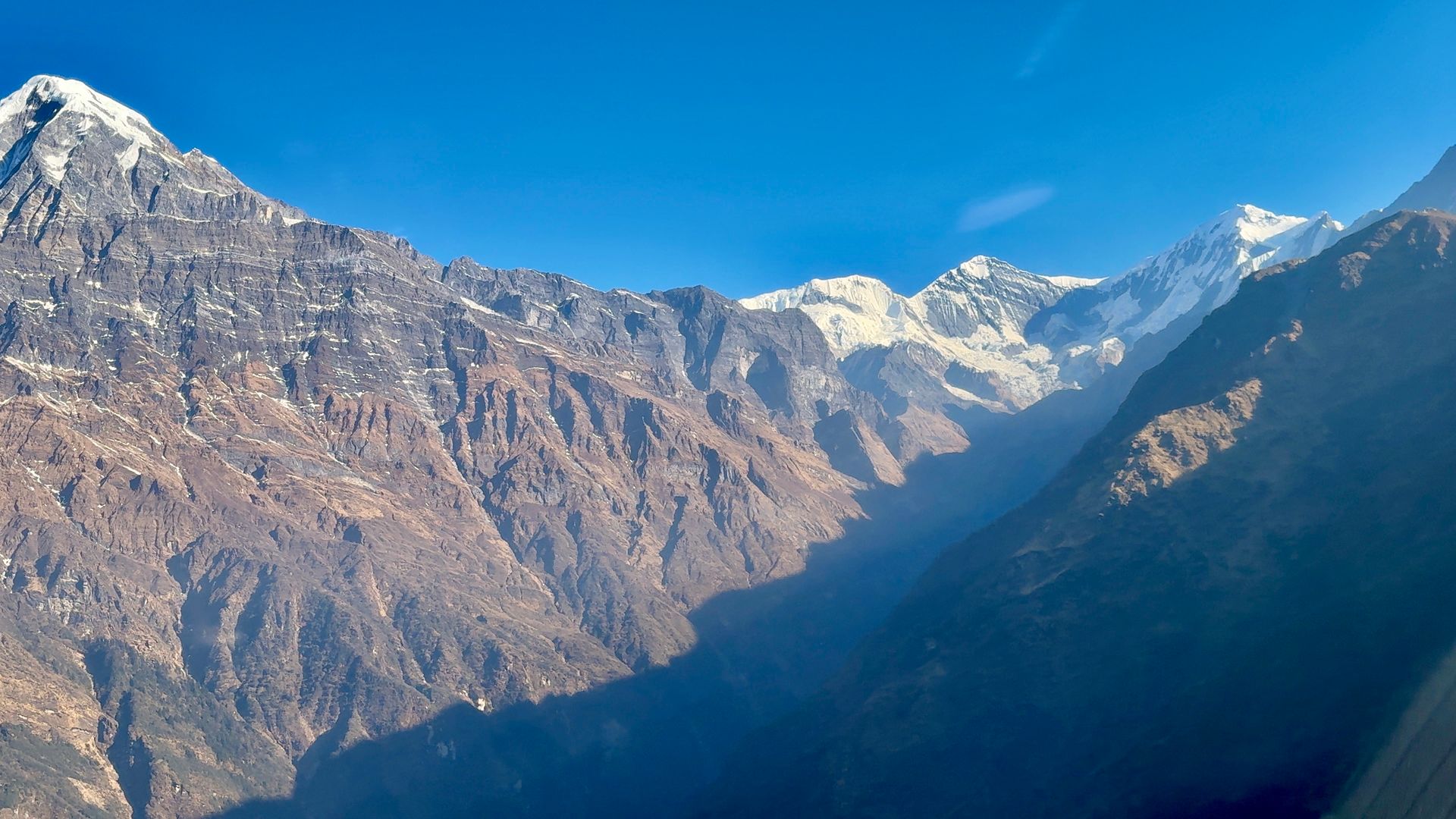
Jomsom Airport is the airstrip for Mustang, with short morning flights to Pokhara through the Kali Gandaki gorge. Afternoon winds stop flights after midday. Flights are often delayed by weather, so a buffer day is recommended.
Read place
Village
Marpha
मार्फा
2,670 m
Marpha is a whitewashed Thakali village south of Jomsom, famous for its apple orchards, cider and brandy. Its paved lanes and monastery make it one of the most attractive villages in Mustang. It is a pleasant overnight stop on the Annapurna Circuit and Lower Mustang treks.
Read place
Village
Kagbeni
कागबेनी
2,810 m
Kagbeni is a medieval village of mud-brick houses at the confluence of the Kali Gandaki and Jhong Khola. It marks the boundary of restricted Upper Mustang, and its red Kag Chode monastery dates to the 15th century. Upper Mustang treks begin here, with permits checked at the checkpoint.
Read place