

River
Imja Khola
इम्जा खोला
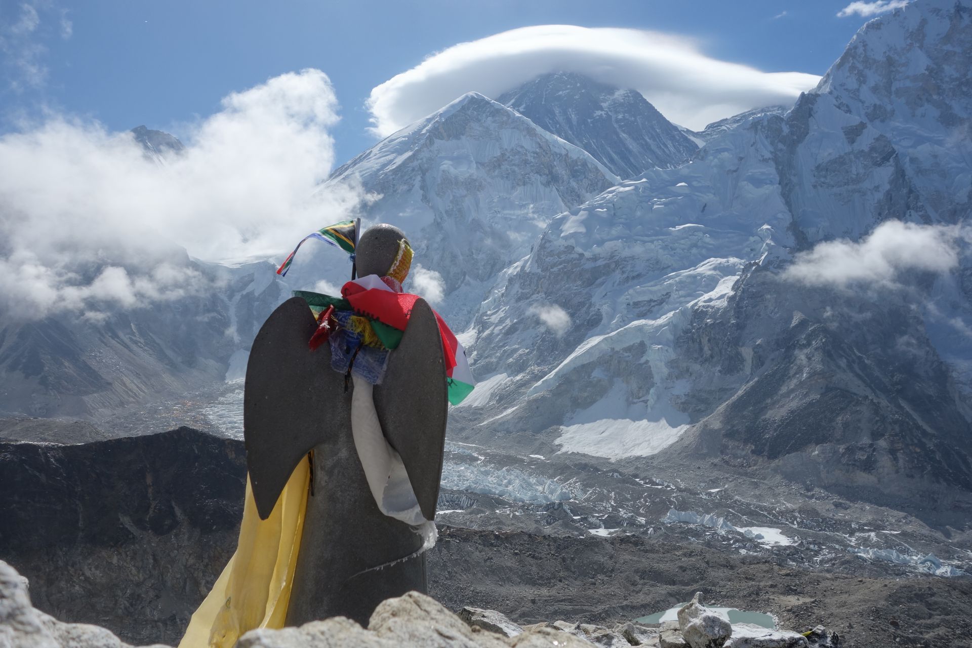
The Imja Khola flows from the Imja Glacier and Imja Tsho lake below Island Peak, past Chhukung and Dingboche, to meet the Dudh Koshi below Tengboche. The EBC trail follows it from Pangboche up to Dingboche.
- Elevation: ~3,250–5,000 m
- Type: River
- Region: Everest Region
- District: Solukhumbu
- Treks: Everest Base Camp Trek, Everest Three Passes Trek
About Imja Khola
Imja Khola is an important glacier-fed river in the Khumbu region of Solukhumbu District, eastern Nepal. Flowing through the spectacular Imja Valley beneath some of the world's highest Himalayan peaks, it is a major tributary of the Dudh Koshi River. Its water originates from the glaciers, snowfields and glacial lakes surrounding the upper Everest region, including the Imja Glacier and Imja Tsho.
The river passes through the high-altitude landscapes near Dingboche, Pangboche and other traditional Sherpa settlements before joining the Dudh Koshi River near Tengboche. It is an important part of the natural drainage system of Sagarmatha National Park and supports the region's mountain ecosystems, local communities and trekking routes.
Location and Geography
Imja Khola is located in the eastern part of the Khumbu region, within the upper Dudh Koshi river basin. Its catchment includes high mountain glaciers and valleys around Imja Tsho, Island Peak, Chhukung and Dingboche.
- Nepali Name: इम्जा खोला
- Location: Khumbu region, Solukhumbu District, Nepal
- Province: Koshi Province
- River System: Koshi River basin
- Main Water Sources: Imja Glacier, Imja Tsho, snowmelt and mountain streams
- Major Tributary: Khumbu Khola / Lobuche river system
- Nearby Settlements: Dingboche, Pangboche and Chhukung
- Confluence: Dudh Koshi River near Tengboche
- Protected Area: Sagarmatha National Park
The Imja Khola catchment is part of the eastern drainage system of Sagarmatha National Park. Scientific research identifies the Imja and Khumbu river branches as important components of this glacier-fed watershed.
River Course and Major Tributaries
Imja Khola receives water from the high-altitude glacier and lake systems of the upper Imja Valley. Its flow is influenced by seasonal snowmelt, glacier melt and rainfall.
Imja Tsho and Imja Glacier: The upper river system receives water from Imja Tsho, a glacial lake formed through the retreat of the Imja Glacier. Water drains from the lake into the downstream Imja Khola.
Chhukung Valley: Mountain streams from the glaciers and snow-covered slopes around Chhukung contribute to the upper drainage network.
Dingboche Area: The river system flows through the wider Dingboche Valley, where glacier-fed streams from surrounding mountain slopes join the main channel.
Khumbu Khola and Lobuche River System: Water from the Khumbu Glacier drains through the Lobuche river system and joins the Imja Khola drainage network downstream of the Pheriche–Dingboche area.
Dudh Koshi Confluence: Imja Khola eventually joins the Dudh Koshi River near the Tengboche area, contributing to one of the main river systems of the Everest region.
Treks That Follow the Imja Khola
The Imja Khola Valley is part of several popular trekking and mountaineering routes in the Everest region. Trekkers encounter the river, its tributaries and suspension bridges while travelling between lower Khumbu villages and the high-altitude Imja Valley.
Everest Base Camp Trek: The trail from Namche Bazaar towards Tengboche, Pangboche and Dingboche passes through the wider Imja Khola drainage area. Trekkers cross mountain streams and bridges along the route.
Island Peak Climbing Route: The route from Dingboche to Chhukung follows the upper Imja Valley, providing access to Island Peak Base Camp and the surrounding glaciers.
Everest Three Passes Trek: The Imja Khola catchment forms part of the route around Chhukung and Kongma La Pass, connecting the Imja Valley with Lobuche.
Chhukung Valley Trek: This route explores the upper river valley, with views of Island Peak, Lhotse, Nuptse and surrounding glaciers.
Imja Tsho Trek: Trekkers can hike from Chhukung towards Imja Tsho to explore the glacial lake and the surrounding high-altitude landscape.
Tea Houses and Accommodation Along Imja Khola
Imja Khola is a river rather than a permanent settlement, but several villages along its valley offer tea houses, trekking lodges and guesthouses. These accommodations support visitors exploring the Everest Base Camp route, Island Peak climbing region and upper Imja Valley.
Dingboche: One of the main accommodation centres in the valley, with numerous tea houses, dining rooms and basic trekking facilities. It is a popular acclimatisation stop.
Pangboche: A traditional Sherpa village with lodges and tea houses, offering views of Ama Dablam and access to Pangboche Monastery.
Chhukung: A remote high-altitude settlement with basic lodges and tea houses, used by trekkers heading towards Island Peak, Imja Tsho and Kongma La.
Pheriche: Located in the neighbouring valley, Pheriche offers trekking accommodation and access to the Himalayan Rescue Association's seasonal aid post.
Tea houses generally serve dal bhat, noodles, soups, rice, potatoes, tea and other simple meals. Rooms are usually basic, and facilities such as hot showers, electricity, charging and internet may cost extra or be limited. There is no permanent accommodation along the remote upper river and glacier sections, so visitors should stay in established villages.
Nature and Landscape of Imja Khola
The Imja Khola flows through a remarkable Himalayan environment shaped by glaciers, snow-covered mountains, alpine vegetation and rugged river valleys.
Glaciers and Glacial Lakes: The river is closely connected to Imja Glacier and Imja Tsho. These glacial features contribute meltwater to the river and shape the landscape of the upper valley.
High Himalayan Mountains: The river basin is surrounded by impressive peaks, including Lhotse, Nuptse, Ama Dablam, Island Peak and other mountains of the Khumbu Himal.
Alpine Vegetation: Lower sections of the valley contain juniper, birch and rhododendron vegetation, while higher elevations transition into alpine grasses, small shrubs and rocky terrain.
River Valleys and Glacial Deposits: The river moves through valleys shaped by glacial erosion, with rocky banks, moraine deposits and steep mountain slopes.
Wildlife: The wider Sagarmatha National Park ecosystem supports Himalayan wildlife, including snow leopards, musk deer and red pandas. These animals are difficult to spot, particularly in the remote upper valleys.
Seasonal Water Flow: The river's flow changes with rainfall, snowmelt and glacier melt. During warmer months and the monsoon season, increased water flow can make river crossings and nearby trails more challenging.
Best Time to Visit Imja Khola
The best time to explore the Imja Khola Valley is generally during spring (March to May) and autumn (September to November). These seasons usually provide more favourable trekking conditions and clearer mountain views.
- Spring: Warmer daytime temperatures, improving trail conditions and flowering vegetation in lower forested areas.
- Autumn: Clear mountain views, generally stable weather and popular trekking conditions.
- Summer/Monsoon: Heavy rainfall, cloudy weather and increased river flow can affect trails and crossings.
- Winter: Very cold temperatures and possible snowfall make the upper valley more challenging to explore.
Visitors should check weather forecasts and local trail conditions before trekking, especially when travelling towards Chhukung and Imja Tsho.
Main Attractions Along Imja Khola
- Imja Tsho: A spectacular high-altitude glacial lake near the Imja Glacier and an important source of water for the river.
- Imja Glacier: A major Himalayan glacier that contributes meltwater to the upper river system.
- Dingboche Village: A traditional Sherpa settlement and important acclimatisation stop on the Everest Base Camp route.
- Pangboche Village: A historic Sherpa village known for its traditional houses, monastery and views of Ama Dablam.
- Chhukung Valley: A dramatic high-altitude valley surrounded by glaciers and Himalayan peaks.
- Island Peak: A popular trekking peak above the Imja Valley, attracting climbers from around the world.
- Ama Dablam: One of the most recognisable mountains in the Everest region, rising above the surrounding river valleys.
- Suspension Bridges: Bridges across the river and its tributaries provide important trekking connections and scenic viewpoints.
Environmental Importance and Conservation
Imja Khola is an important part of the freshwater system of the Everest region. Its glacier-fed waters support downstream rivers, local communities, livestock and mountain ecosystems.
One major environmental concern is the changing condition of Himalayan glaciers and glacial lakes. Imja Tsho has expanded as the Imja Glacier has retreated, making glacial lake outburst flood (GLOF) risk an important subject of scientific research and local disaster planning.
Conservation of the Imja Khola watershed requires responsible tourism, proper waste disposal, protection of alpine vegetation and continued monitoring of glaciers and glacial lakes. Trekkers can help by avoiding littering, using established trails and respecting local communities and the protected environment of Sagarmatha National Park.
Where is Imja Khola?
The exact point on the Himalaya trail, with nearby places for context.
On this map
Nearby places
Village
Dingboche
डिङबोचे
4,410 m
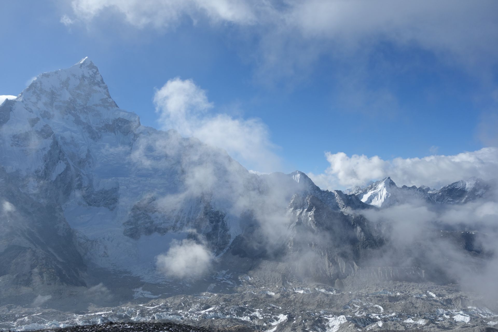
Dingboche is a broad summer settlement in the Imja valley, its potato fields enclosed by stone walls. It is the second main acclimatisation stop on the Everest Base Camp trek.
Read place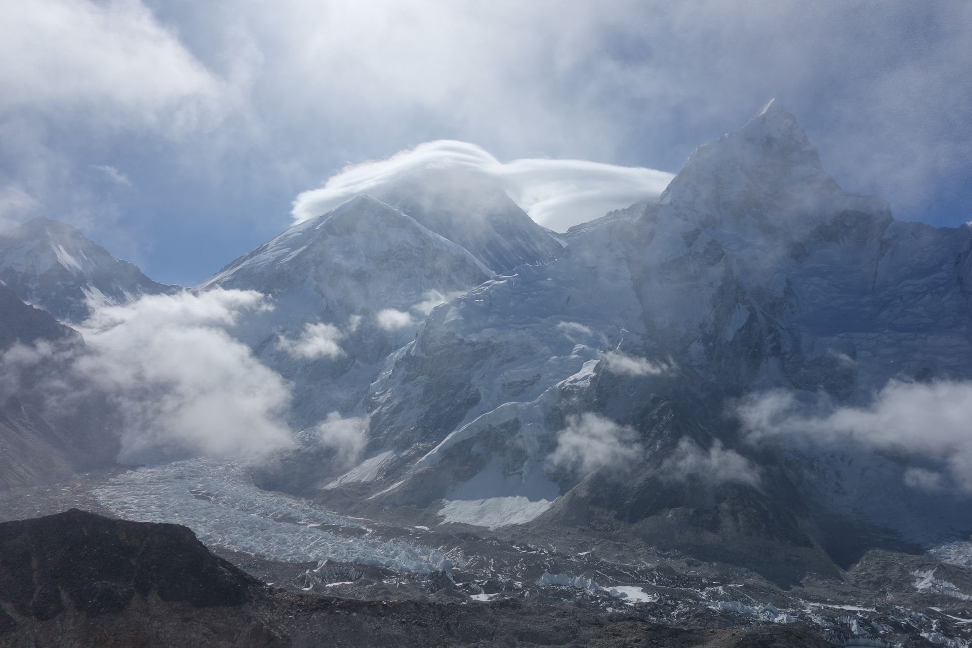
Village
Chhukung
छुकुङ
4,730 m
Chhukung is a small settlement at the head of the Imja valley, surrounded by the huge walls of Lhotse, Nuptse and Ama Dablam. It is the base for Island Peak climbs and for crossing the Kongma La on the Three Passes trek.
Read place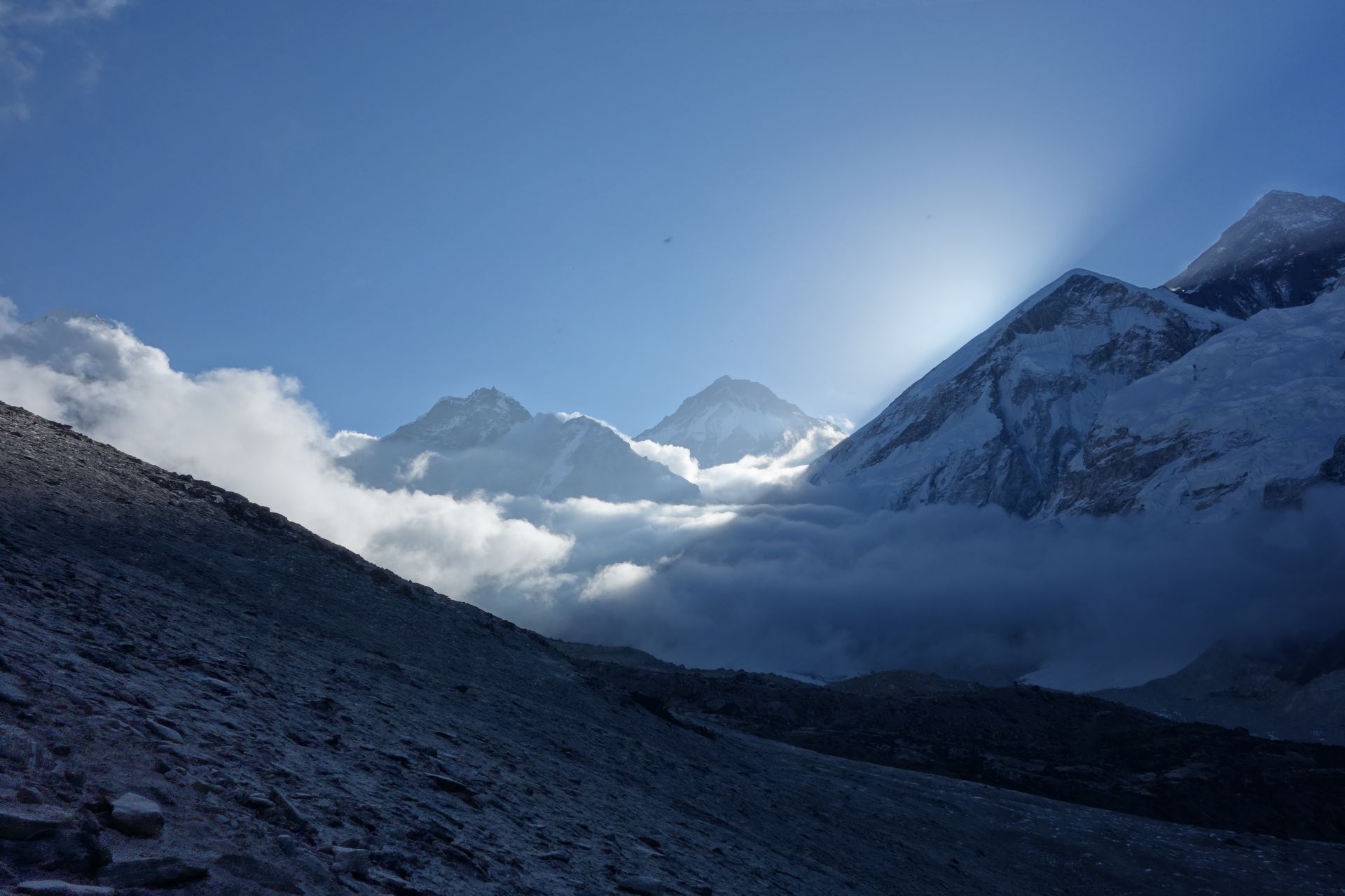
Mountain peak
Island Peak (Imja Tse)
इम्जा त्से
6,189 m
Island Peak, or Imja Tse, is a 6,189 m trekking peak rising from the Imja valley like an island in a sea of ice. It is one of the most popular climbing peaks in Nepal for first-time Himalayan climbers. Climbers set out from Chhukung and a base camp at about 5,100 m.
Read place