

Mountain peak
Island Peak (Imja Tse)
इम्जा त्से
Island Peak, or Imja Tse, is a 6,189 m trekking peak rising from the Imja valley like an island in a sea of ice. It is one of the most popular climbing peaks in Nepal for first-time Himalayan climbers. Climbers set out from Chhukung and a base camp at about 5,100 m.
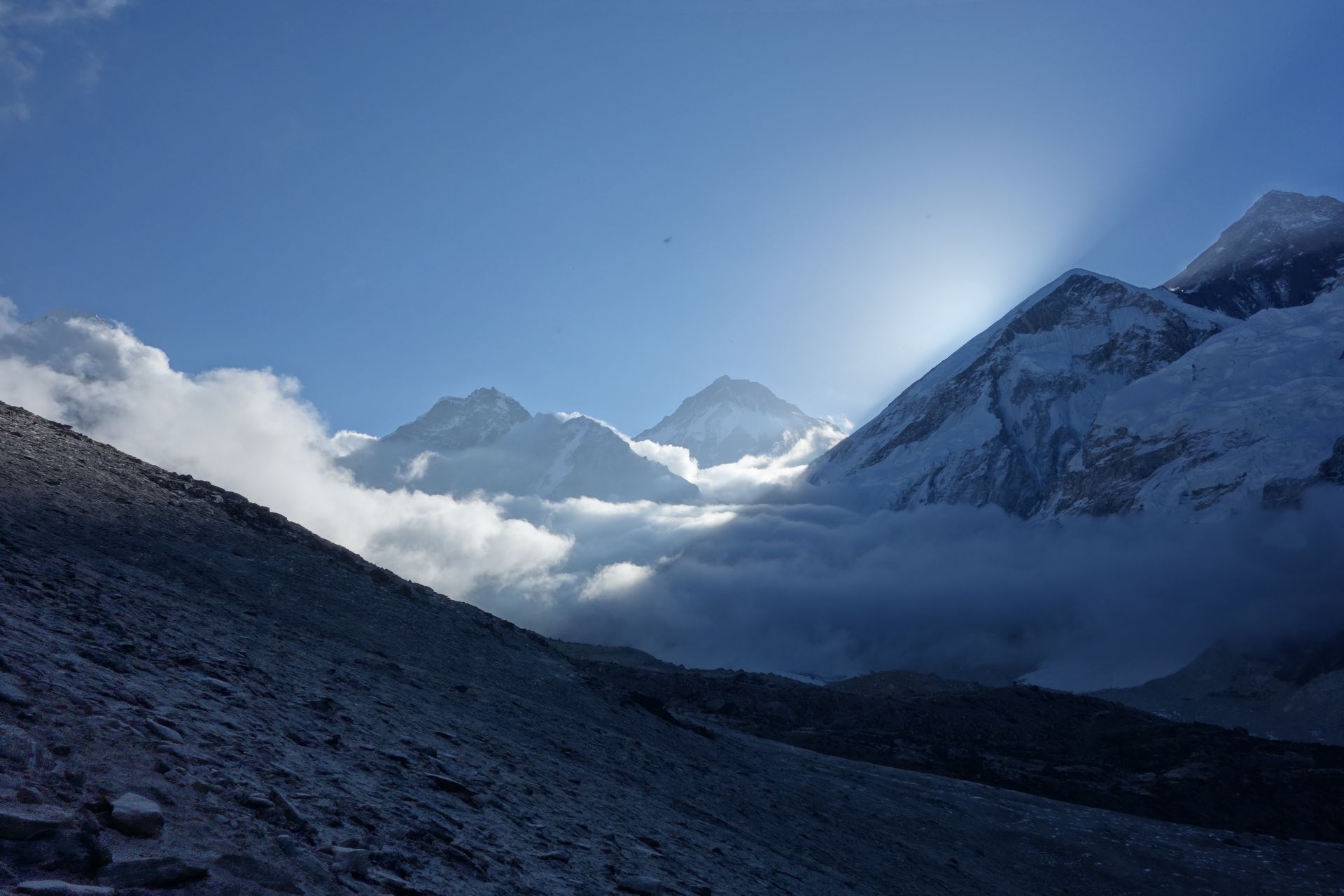
- Summit: 6,189 m / 20,305 ft
- Type: Mountain
- Region: Everest Region
- District: Solukhumbu
- Popular trekking peak
- Treks: Everest Three Passes Trek, Everest Base Camp Trek
About Island Peak (Imja Tse)
Island Peak, locally known as Imja Tse, is one of the most popular trekking peaks in Nepal's Everest region. Standing at approximately 6,183 metres (20,285 feet), it is located in the upper Imja Valley of the Khumbu region, inside Sagarmatha National Park. The mountain rises above the surrounding glaciers and appears like an island in a sea of ice when viewed from Dingboche, which inspired its English name. Some climbing and tourism sources list its elevation as 6,189 metres.
Island Peak is a popular introduction to Himalayan mountaineering for trekkers who want to progress beyond ordinary trekking. Its climbing route involves glacier travel, crevasse crossings, crampons, ice axes, fixed ropes and a steep snow-and-ice headwall before reaching a narrow summit ridge. The mountain offers spectacular views of Lhotse, Nuptse, Makalu, Baruntse and Ama Dablam, making it a memorable climbing destination in the Everest region.
Location and Altitude
Island Peak is situated in the upper Imja Valley, east of Chhukung and southeast of the Lhotse massif. The usual climbing approach follows the Everest trekking trail through Namche Bazaar, Tengboche and Dingboche before continuing to Chhukung and Island Peak Base Camp.
- Location: Imja Valley, Khumbu, Solukhumbu District, Koshi Province, Nepal
- Altitude: Approximately 6,183 metres (some sources list 6,189 metres)
- Nepali Name: इम्जा छे (Imja Tse)
- Mountain Range: Khumbu Himal / Mahalangur Himal
- Coordinates: Approximately 27.9208° N, 86.9352° E
- Base Camp: Approximately 5,087–5,200 metres
- Nearby places: Chhukung, Dingboche and Imja Tsho
- Protected Area: Sagarmatha National Park
- Main Significance: Popular Himalayan trekking peak and mountaineering destination
Treks and Climbing Routes to Island Peak
- Island Peak Climbing: The standard climbing route approaches from Chhukung, continues to Island Peak Base Camp and follows a glacier route to the summit.
- Everest Base Camp and Island Peak Climbing: Combines the classic Everest Base Camp trek and Kala Patthar with an Island Peak summit attempt, providing additional acclimatization.
- Everest Three Passes and Island Peak: A challenging adventure combining high mountain passes, the Everest trekking region and a technical climbing objective.
- Chhukung to Island Peak Base Camp: The approach from Chhukung follows the Imja Valley through rocky moraine and glacial terrain.
- Island Peak Summit Route: The final ascent involves a rocky section, glacier crossing, fixed-rope climbing on a steep headwall and a narrow summit ridge.
Tea Houses and Accommodation Near Island Peak
There are no permanent tea houses or hotels at the Island Peak summit. Most climbers stay in Chhukung, the nearest established settlement, before moving to a tented base camp for their climbing expedition.
- Chhukung Tea Houses: Local tea houses and lodges provide rooms, meals and warm dining areas for trekkers and climbers.
- Food and Meals: Common meals include dal bhat, noodle soup, rice, potatoes, pasta, eggs, tea and coffee.
- Island Peak Base Camp: Climbing teams generally use temporary tents for sleeping, dining and equipment preparation.
- High Camp: Some expeditions establish a higher temporary camp to shorten the summit-day climb, depending on conditions and the climbing plan.
- Dining and Facilities: Chhukung offers basic trekking facilities, while base camp has more limited services arranged by the expedition team.
- Seasonal Availability: Tea houses are generally more active during the spring and autumn climbing seasons.
Climbers should arrange their camping equipment, meals, guides and climbing logistics through an experienced expedition operator. Accommodation at base camp is not comparable to the facilities available in village tea houses.
Nature and Landscape of Island Peak
Island Peak is surrounded by an impressive Himalayan environment featuring glaciers, glacial lakes, rocky moraines and towering snow-covered mountains. The upper Imja Valley offers a dramatic landscape where ice, rock and high mountain terrain dominate the scenery.
- Imja Glacier: The mountain is surrounded by glacial terrain, with ice formations and rocky deposits shaping the climbing environment.
- Imja Tsho: This beautiful glacial lake lies in the wider Imja Valley and is an important natural landmark near the mountain.
- Lhotse Mountain: The enormous south face of Lhotse dominates the northern mountain scenery.
- Ama Dablam: One of the most recognizable peaks in the Everest region, Ama Dablam adds to the spectacular mountain panorama.
- Makalu and Baruntse: These impressive Himalayan mountains can be seen from the summit in favourable weather conditions.
- Alpine Vegetation: The lower Imja Valley has hardy grasses, shrubs and seasonal mountain plants, while the upper slopes become increasingly barren.
- Himalayan Wildlife: The wider Sagarmatha National Park supports wildlife such as Himalayan tahr, musk deer, snow leopards and high-altitude birds.
- Glacial and Rocky Terrain: The climbing route features moraine, snowfields, crevasses and exposed mountain ridges.
The combination of glaciers, high mountain peaks and the beautiful Imja Valley makes Island Peak an exceptional destination for nature lovers, photographers and mountaineers.
Best Time to Climb Island Peak
The best seasons for climbing Island Peak are spring and autumn, when weather conditions are generally more suitable for Himalayan mountaineering.
- Spring (March to May): A popular climbing season with active expeditions, longer daylight hours and generally favourable conditions during suitable weather windows.
- Autumn (September to November): Often provides clear mountain views, crisp air and good trekking conditions. Snow and ice conditions on the climbing route can vary.
- Winter (December to February): Extremely cold temperatures, heavy snow and difficult climbing conditions make expeditions more challenging.
- Monsoon (June to August): Rain, clouds and changing weather can affect the approach, visibility and climbing conditions.
Actual summit conditions depend on snowfall, glacier movement, crevasses, wind and temperatures. Climbers should follow current route assessments and their guide's advice rather than relying only on the season.
Main Attractions of Island Peak
- Island Peak Summit: Reach the 6,183-metre summit and experience an exciting Himalayan mountaineering achievement.
- Panoramic Himalayan Views: Enjoy spectacular views of Lhotse, Nuptse, Makalu, Baruntse and Ama Dablam.
- Imja Glacier: Explore the impressive glacier environment surrounding the mountain.
- Imja Tsho: Visit the beautiful glacial lake in the upper Imja Valley.
- Chhukung Valley: Experience the traditional mountain settlement and its surrounding Himalayan scenery.
- Island Peak Base Camp: Enjoy the atmosphere of a high-altitude expedition camp surrounded by glaciers and rocky mountains.
- Glacier Climbing Experience: Experience crevasse crossings, crampon walking and fixed-rope climbing under professional supervision.
- Himalayan Photography: Capture dramatic mountain landscapes, glaciers, snow-covered ridges and colourful expedition tents.
Island Peak Climbing Experience
Climbing Island Peak is a challenging high-altitude mountaineering experience rather than an ordinary trekking activity. The journey usually begins in Lukla and follows the popular Everest trekking route through Namche Bazaar, Tengboche and Dingboche before reaching Chhukung.
From Chhukung, climbers continue to Island Peak Base Camp, where they prepare their equipment and practise essential mountaineering techniques. Summit attempts generally begin around midnight or in the early hours of the morning. The route crosses rocky terrain and a crevassed glacier before reaching a steep snow-and-ice headwall equipped with fixed ropes. A narrow ridge leads to the summit.
A summit attempt can take approximately 10–14 hours for the round trip from base camp, depending on conditions and the route used. Climbers need suitable physical fitness, acclimatization and supervised training in crampon use, ice-axe techniques, glacier travel and fixed-rope systems.
Important Travel and Climbing Safety Information
- Climbing Permit: Obtain the required climbing permit and national park entry documents before the expedition.
- Professional Guide: Arrange a qualified climbing guide and experienced expedition support.
- Acclimatization: Follow a gradual ascent and include sufficient acclimatization days before attempting the summit.
- Mountaineering Equipment: Essential equipment includes mountaineering boots, crampons, harness, helmet, ice axe, ascender and suitable ropes.
- Glacier Safety: Crevasses, unstable snow bridges and changing ice conditions require professional assessment and rope protection.
- Weather Conditions: Check current forecasts and follow the climbing team's decisions about summit attempts.
- Altitude Sickness: Watch for headaches, nausea, dizziness, unusual tiredness and breathing difficulties. Stop ascending and seek medical assistance if symptoms develop.
- Environmental Responsibility: Carry out all waste and follow Sagarmatha Pollution Control Committee guidelines for protecting the mountain environment.
The climbing route can change from season to season as glaciers move and crevasses open. Local route inspections and current climbing advice are essential.
Where is Island Peak (Imja Tse)?
The exact point on the Himalaya trail, with nearby places for context.
On this map
Nearby places
Village
Chhukung
छुकुङ
4,730 m
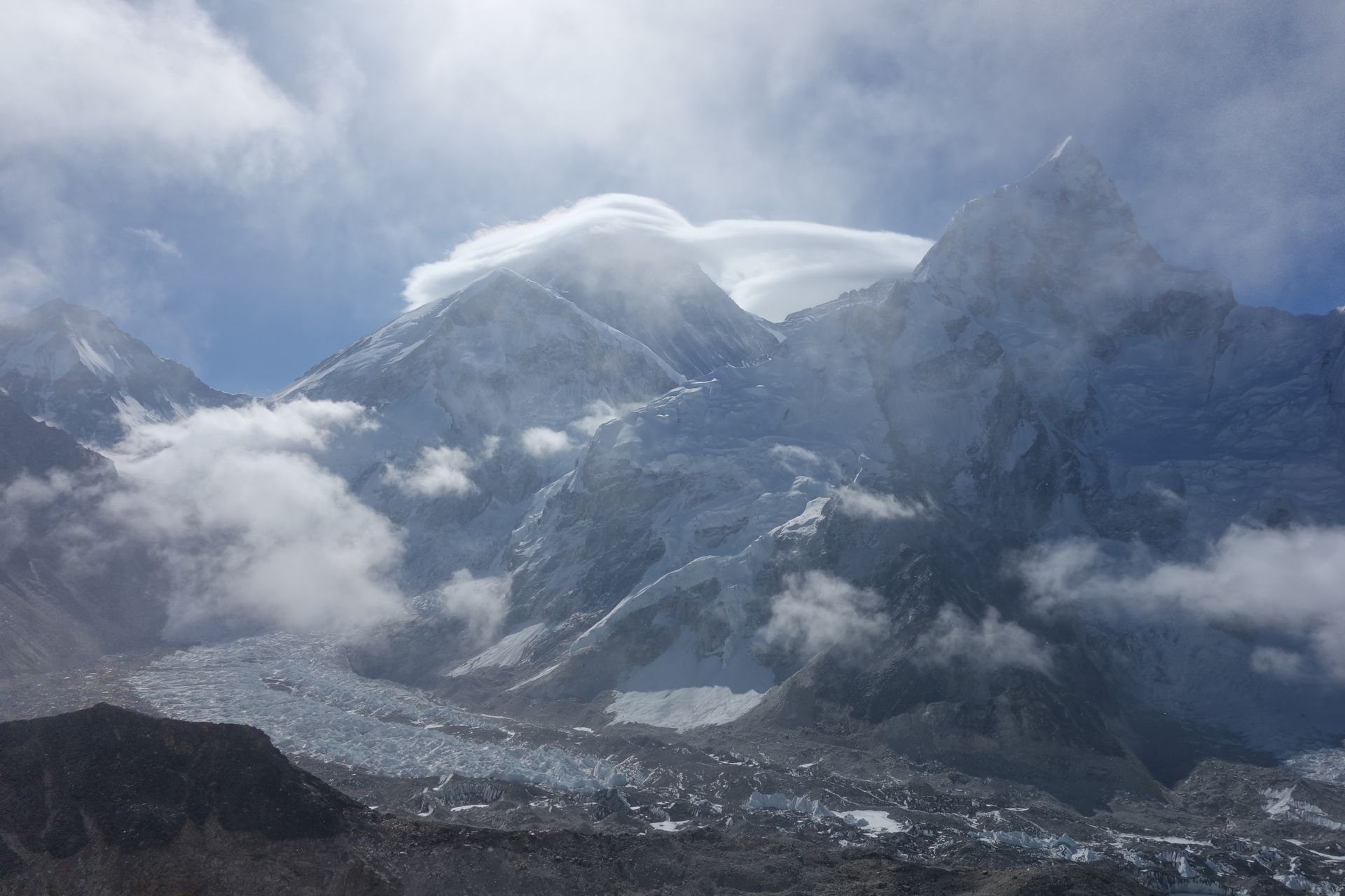
Chhukung is a small settlement at the head of the Imja valley, surrounded by the huge walls of Lhotse, Nuptse and Ama Dablam. It is the base for Island Peak climbs and for crossing the Kongma La on the Three Passes trek.
Read place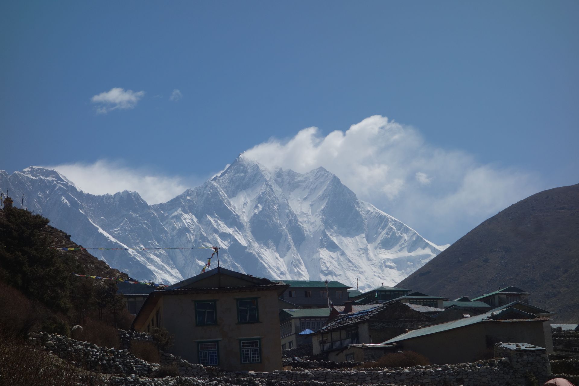
Mountain peak
Lhotse
ल्होत्से
8,516 m
Lhotse is the fourth-highest mountain in the world at 8,516 m, joined to Everest by the South Col. Its huge south face dominates the head of the Imja valley above Chhukung. Trekkers see Lhotse throughout the Everest Region, especially from Tengboche, Dingboche and Chhukung Ri.
Read place