

Town / city
Arughat
आरुघाट
Arughat is a bazaar town on the Budhi Gandaki and the traditional start of the Manaslu Circuit and Tsum Valley treks. Jeeps continue upriver to Soti Khola and Machha Khola. Trekkers often stop here for last supplies.
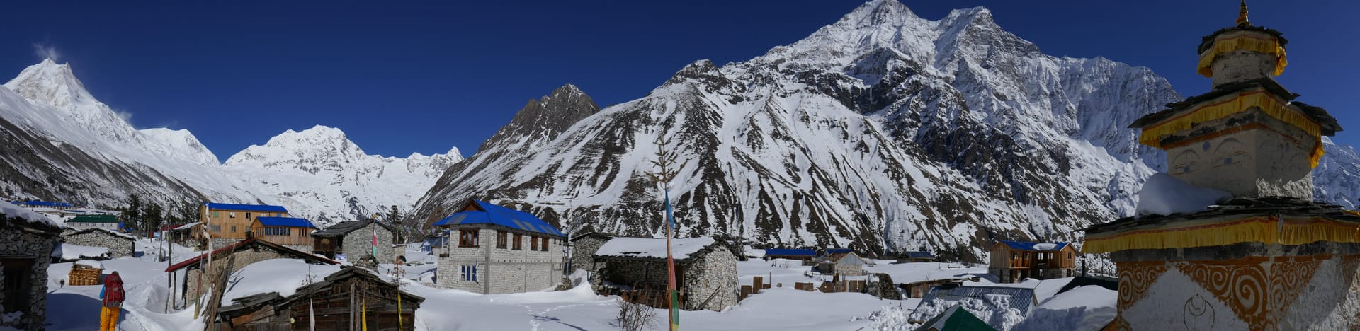
- Elevation: ~600 m / 1,969 ft
- Type: Town
- Region: Manaslu Region
- District: Gorkha
- Treks: Manaslu Circuit Trek, Tsum Valley Trek and Manaslu Circuit
About Arughat
Arughat is a bazaar town on the Budhi Gandaki and the traditional start of the Manaslu Circuit and Tsum Valley treks. Jeeps continue upriver to Soti Khola and Machha Khola.
Trekkers often stop here for last supplies.
Location and altitude
Arughat sits at about 600 m (1,969 ft) in Gorkha district, in the Manaslu Region of Nepal. Nearby places include Soti Khola and Gorkha.
Treks that visit Arughat
Arughat is part of these Nepal Trek Services itineraries: Manaslu Circuit Trek, Tsum Valley Trek and Manaslu Circuit, Manaslu Circuit Alternative Trek Via Barpak, Manaslu Circuit via Upper Route (Kassi Gaun), Tsum Valley Trek and Manaslu Base Camp Trek.
Best time to visit
Arughat can be visited most of the year. Spring (March to May) and autumn (September to November) give the clearest mountain views; the June–August monsoon brings rain, leeches and cloud, and winter is cool but often clear.
Where is Arughat?
The exact point on the Himalaya trail, with nearby places for context.
On this map
Nearby places
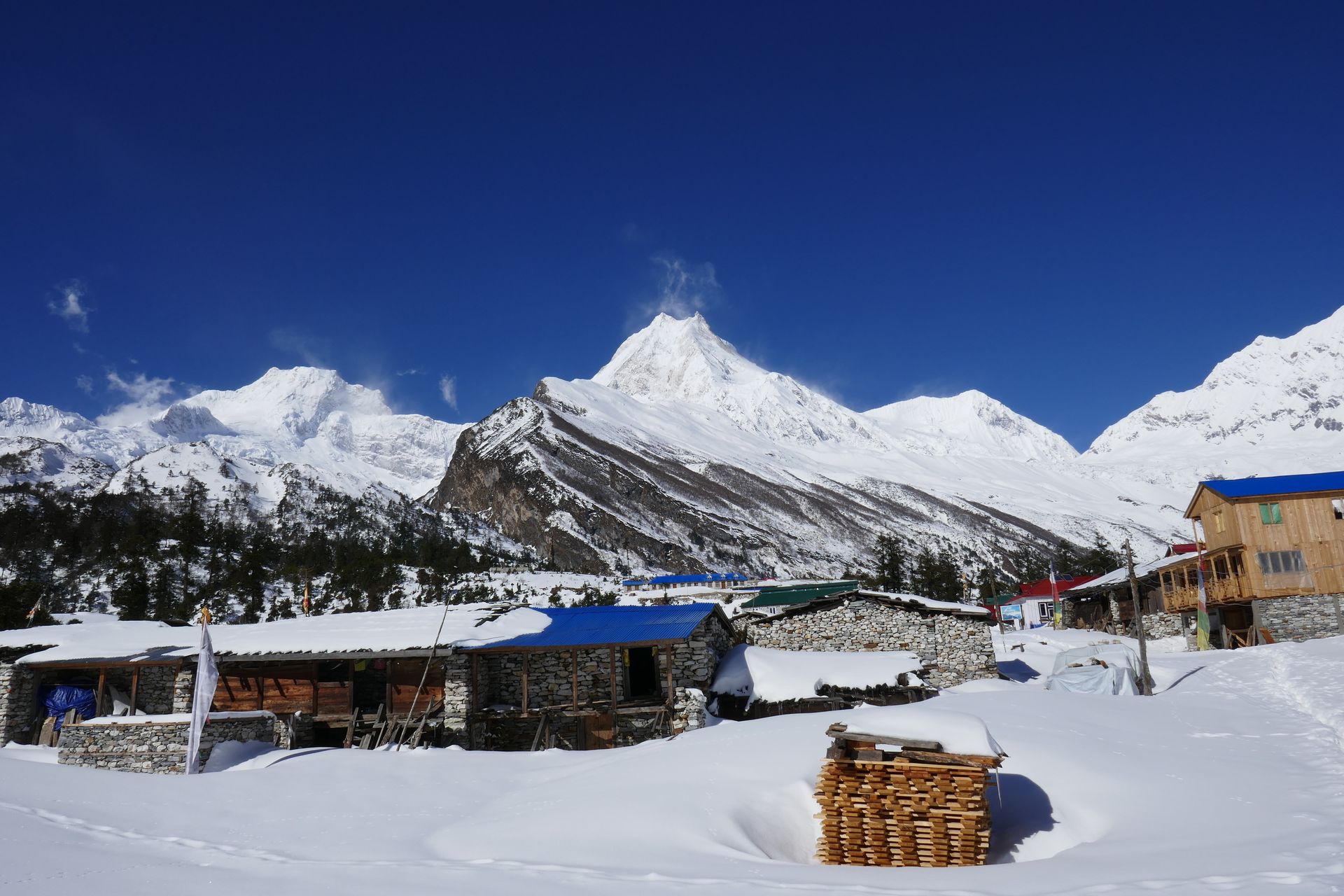
Village
Soti Khola
सोती खोला
730 m
Soti Khola is a small village at the end of the road on the Budhi Gandaki, the usual first overnight of the Manaslu Circuit. The trail beyond follows the river through a deep gorge. The area is low and warm, with sal forest and waterfalls.
Read place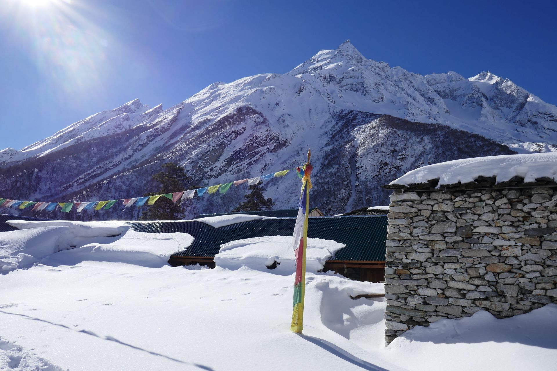
Town / city
Gorkha
गोरखा
1,135 m
Gorkha is a historic hill town, the birthplace of King Prithvi Narayan Shah, who unified Nepal in the 18th century. The Gorkha Durbar palace and temple crown the ridge above town. It is a road gateway to Barpak, Laprak and the Manaslu region.
Read place