

Mountain peak
Annapurna II
अन्नपूर्ण द्वितीय
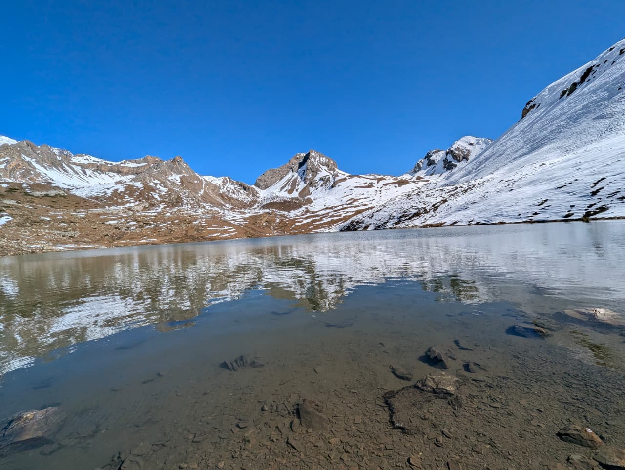
Annapurna II is a 7,937 m peak at the eastern end of the Annapurna massif. It dominates the views from Chame, Pisang and Manang. Its huge north face looms over the Annapurna Circuit.
- Summit: 7,937 m / 26,040 ft
- Type: Mountain
- Region: Annapurna Region
- District: Manang
- Treks: Annapurna Circuit Trek, Nar Phu Valley Trek, Tilicho Lake Trek
About Annapurna II
Annapurna II is a 7,937 m peak at the eastern end of the Annapurna massif. It dominates the views from Chame, Pisang and Manang.
Its huge north face looms over the Annapurna Circuit.
Location and altitude
Annapurna II rises to 7,937 m (26,040 ft) in Manang district, in the Annapurna Region of Nepal. It lies within Annapurna Conservation Area. Nearby places include Pisang and Chame.
Treks that visit Annapurna II
Annapurna II is part of these Nepal Trek Services itineraries: Annapurna Circuit Trek, Nar Phu Valley Trek and Tilicho Lake Trek.
Best time to visit
The best seasons for Annapurna II are spring (March to May) and autumn (late September to November), when skies are clearest. Winter brings heavy cold and snow, and the June–August monsoon brings cloud and wet trails lower down.
Where is Annapurna II?
The exact point on the Himalaya trail, with nearby places for context.
On this map
Nearby places
Village
Pisang
पिसाङ
3,200 m
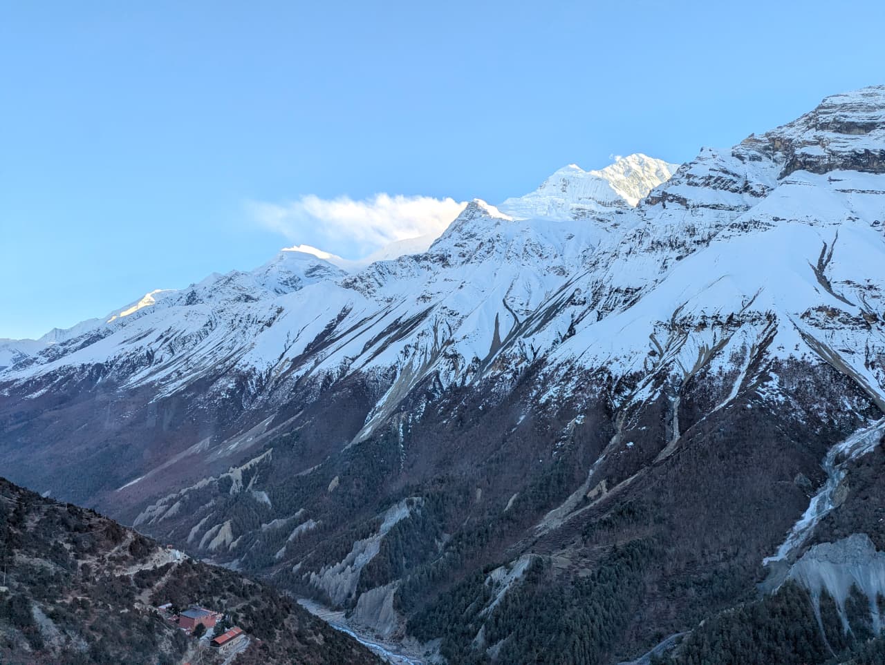
Pisang is a village in the upper Marsyangdi where the valley opens into the dry landscape of Manang. Lower Pisang sits by the river, with the old village of Upper Pisang on the hillside above. It faces the long wall of Annapurna II and Pisang Peak.
Read place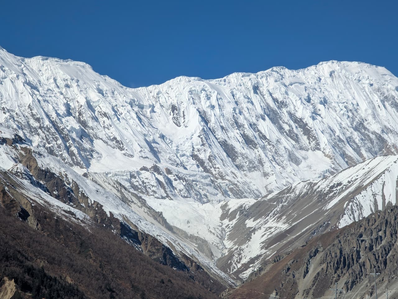
Town / city
Chame
चामे
2,670 m
Chame is the district headquarters of Manang, with shops, lodges and small hot springs by the river. It looks up at Lamjung Himal and Annapurna II. It is a key overnight stop on the Annapurna Circuit, and the turn-off for Nar Phu is just below at Koto.
Read place