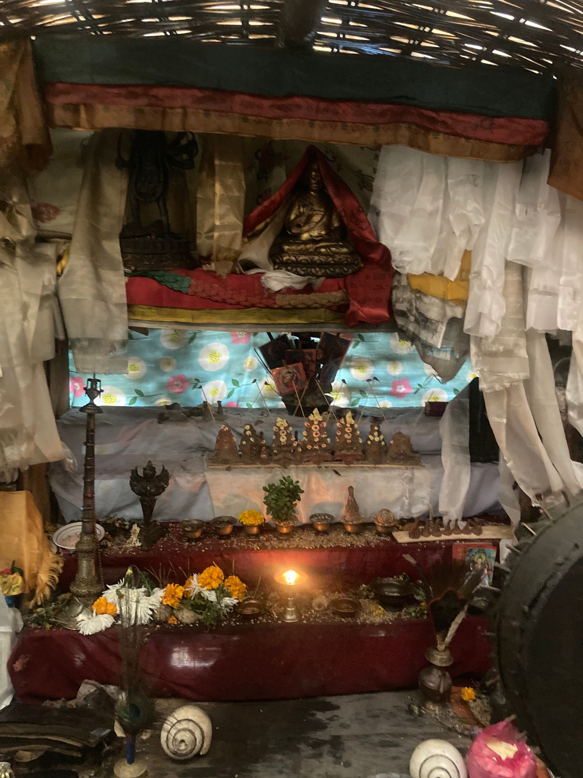
Religious site
बडिमालिका मन्दिर
4,200 m
Badimalika is a sacred Hindu temple on a high ridge in Bajura, dedicated to the goddess Malika. Thousands of pilgrims visit at the Janai Purnima full moon. The trek crosses vast high meadows (patans).
Read place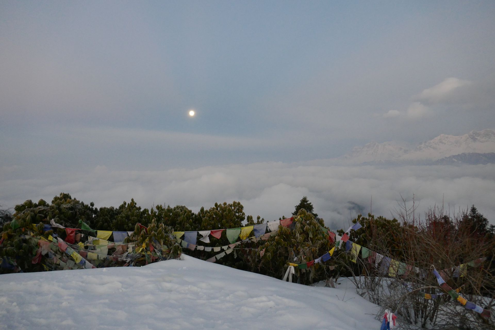
Pass
बगा ला
5,070 m
Baga La is the second high pass on the Lower Dolpo circuit, leading down towards Phoksundo Lake. It offers views of the Kanjiroba Himal. The crossing is long and remote.
Read place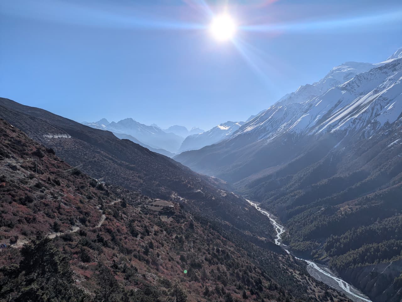
Village
बाम्बू
2,310 m
Bamboo is a cluster of lodges in the deep, forested gorge of the Modi Khola on the way to Annapurna Base Camp, named for the bamboo thickets around it. It is a common overnight stop both on the way up and back.
Read place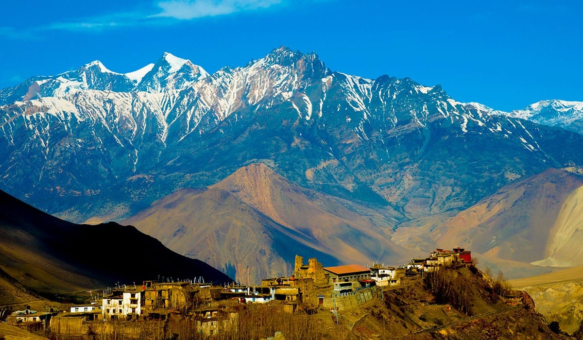
Village
बनथन्ती
3,180 m
Banthanti is a small lodge stop in rhododendron forest between Ghorepani and Tadapani. It is a resting point on the Poon Hill loop. The forest here is beautiful in spring.
Read place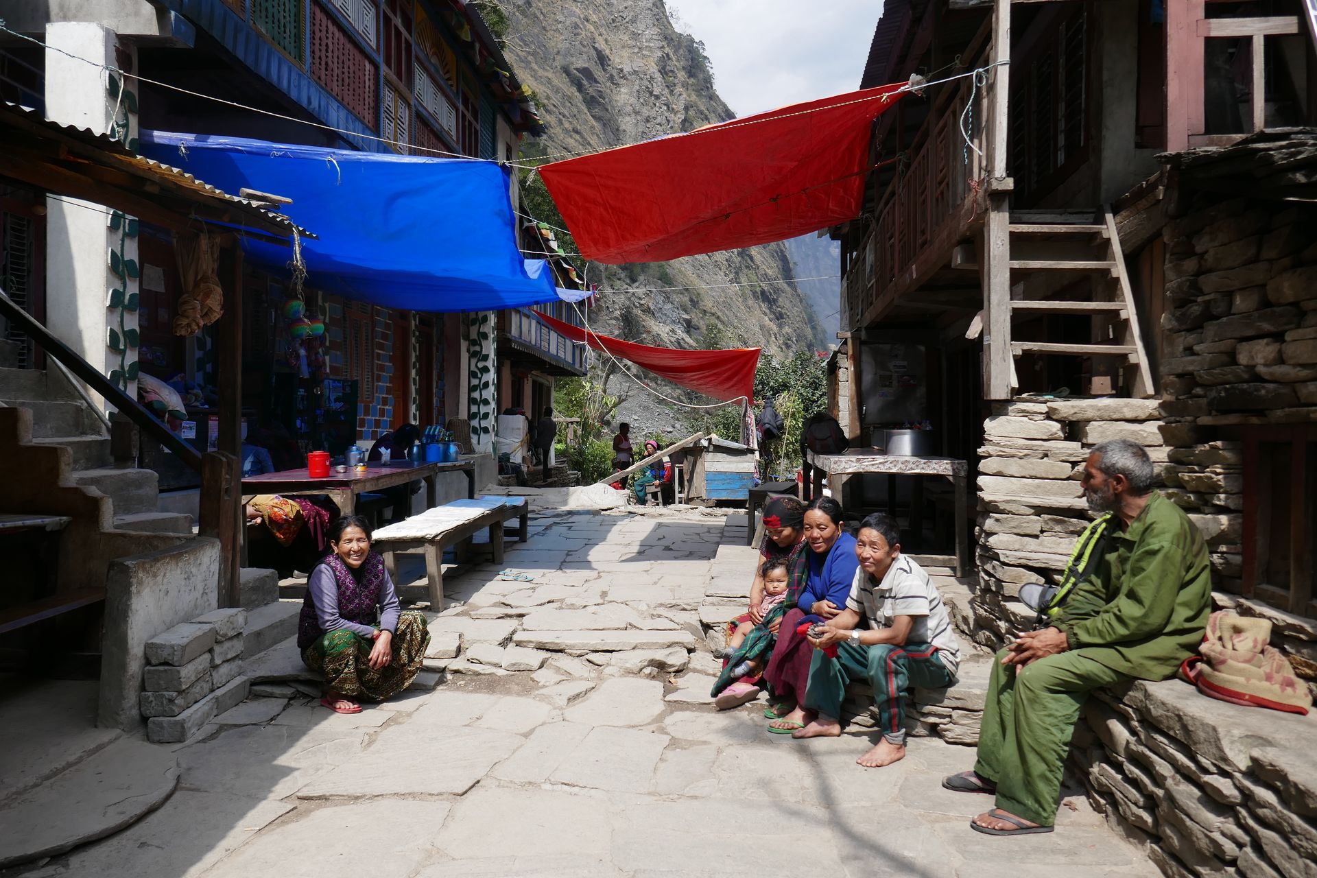
Village
बार्पाक
1,900 m
Barpak is a large Gurung village in Gorkha, known as the epicentre of the 2015 earthquake. It has since been rebuilt and has homestays. It is the start of the alternative route into the Manaslu Circuit and the Rupina La trek.
Read place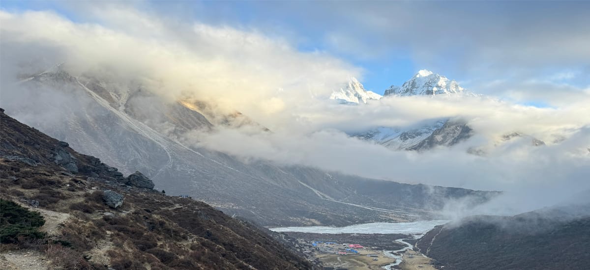
Glacier
बरुण हिमनदी
4,800 m
The Barun Glacier flows from the slopes of Makalu and Lhotse into the head of the Barun valley. Makalu Base Camp lies beside it. Its moraine lakes and seracs are seen on the final day of the trek.
Read place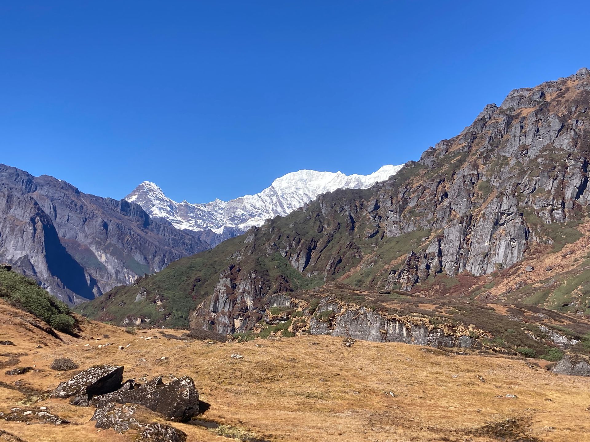
Valley
बरुण उपत्यका
3,000 m
The Barun Valley is a wild glacial valley beneath Makalu, lined with cliffs, waterfalls and alpine meadows. It is one of the least disturbed valleys in the Himalaya. The Makalu Barun Valley trek explores its length.
Read place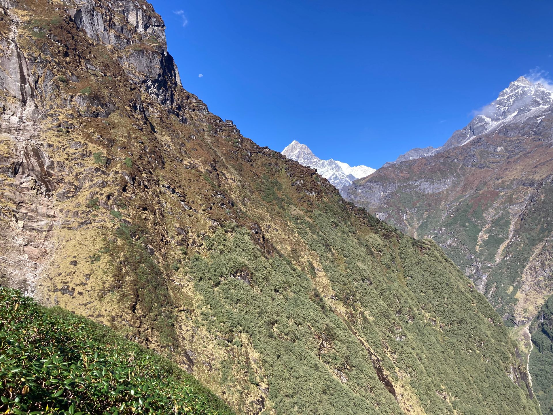
Mountain peak
बरुन्त्से
7,129 m
Baruntse is a 7,129 m peak between the Barun, Hongu and Imja valleys, first climbed by a New Zealand team in 1954. It is a popular expedition peak. It is seen from Makalu Base Camp and the Everest Region.
Read place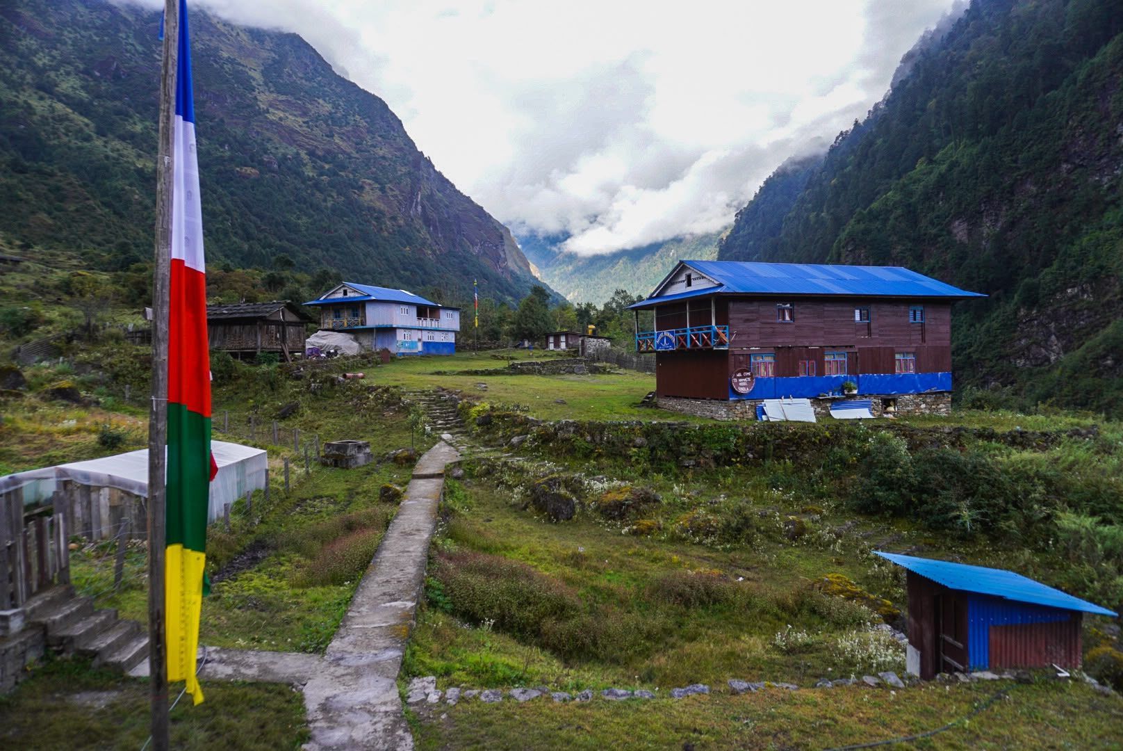
Town / city
बसन्तपुर
2,200 m
Basantapur is a ridge-top bazaar in Terhathum on the road to the Kanchenjunga and Makalu regions. It is the start of the Tinjure–Milke–Jaljale trek. The hills around it are known for rhododendron forest.
Read place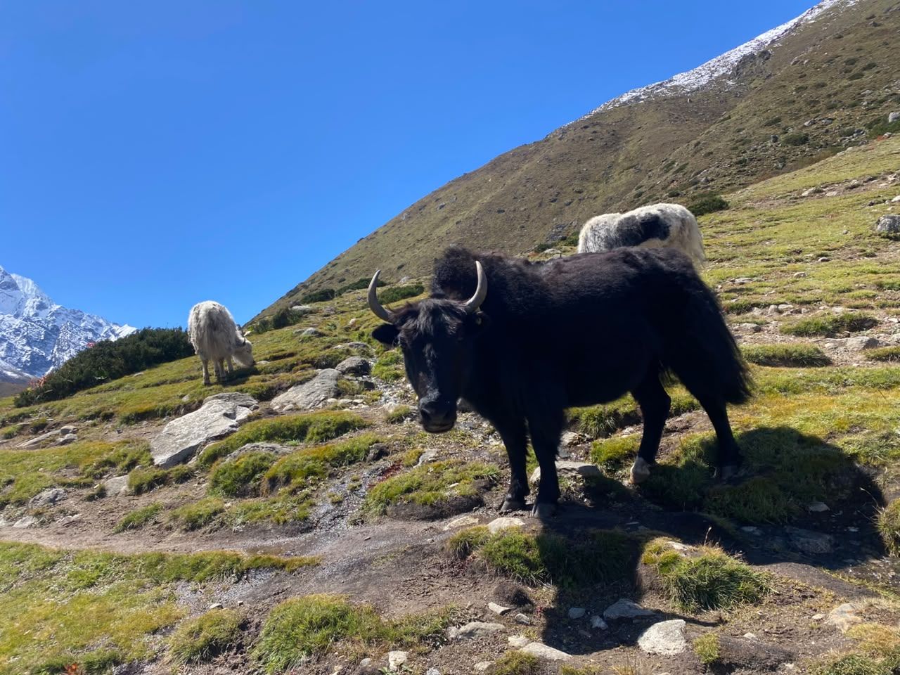
Village
बेदिङ
3,690 m
Beding is the main village of the Rolwaling valley, a cluster of stone houses and a gompa on the Rolwaling Chu. Many of its families are climbing Sherpas. It is an acclimatisation stop before Na and the high route to Tsho Rolpa.
Read place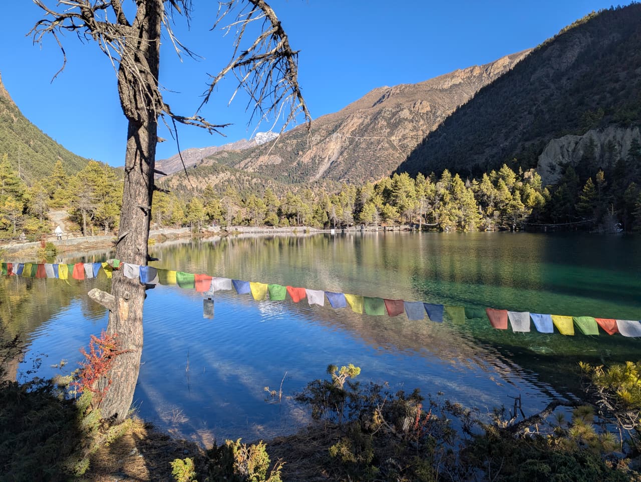
Lake
बेगनास ताल
650 m
Begnas Lake is a quieter lake east of Pokhara, surrounded by rice terraces and forest. It is a peaceful alternative to Phewa Lake. It is near the start of the Royal Trek.
Read place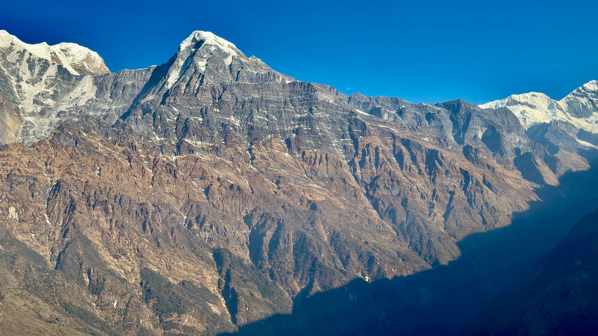
Town / city
बेनी
830 m
Beni is the district headquarters of Myagdi, at the confluence of the Kali Gandaki and Myagdi Khola. It is the road junction for Mustang, Dhaulagiri and Dolpo. It is the start of the long Beni to Dolpo trek.
Read place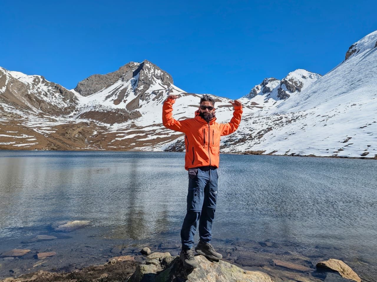
Town / city
बेसीशहर
760 m
Besisahar is the district headquarters of Lamjung and the traditional start of the Annapurna Circuit. Jeeps continue from here up the Marsyangdi valley towards Chame and Manang. It is about six hours by road from Kathmandu or Pokhara.
Read place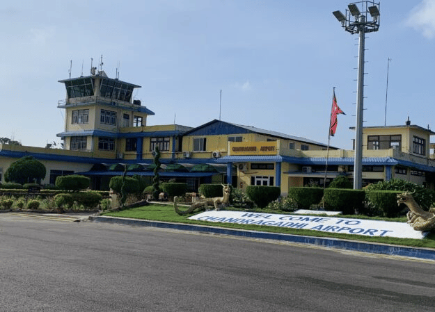
Airstrip / airport
Bhadrapur Airport (BDP), also known as Chandragadhi Airport, is an important eastern Nepal gateway for Kanchenjunga trekkers. Located in Jhapa, it connects Kathmandu with eastern Nepal before travelers continue by road toward Ilam, Taplejung and the Kanchenjunga region.
Read place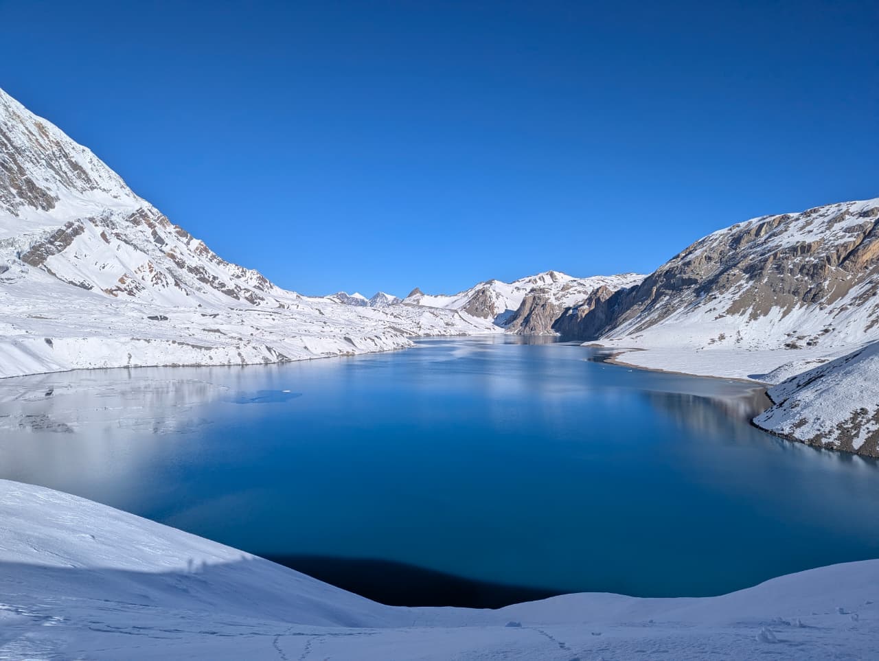
Village
भुलभुले
840 m
Bhulbhule is a riverside village on the lower Annapurna Circuit with an ACAP checkpoint. It was the traditional first night on the circuit before road access. A waterfall drops beside the village.
Read place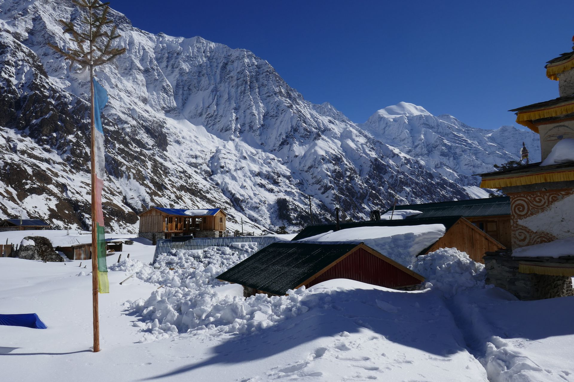
Village
बिम्थाङ
3,590 m
Bimthang is a wide meadow with a few lodges on the west side of the Larkya La, the first overnight stop after crossing the pass on the Manaslu Circuit. It looks up at Manaslu, Himlung and Cheo Himal. A side walk leads to the Bimthang Glacier and the Ponkar Lake.
Read place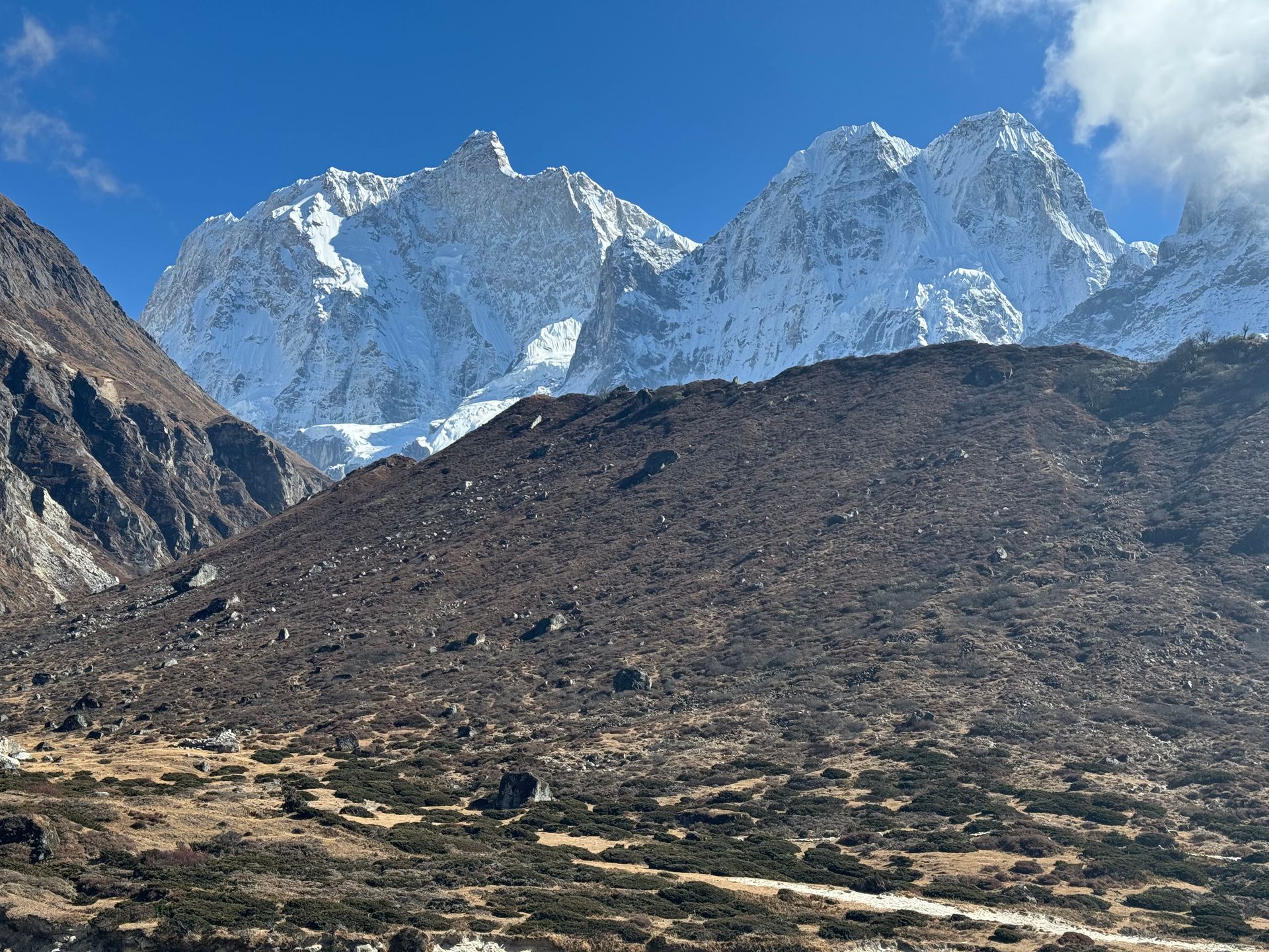
Airstrip / airport
विराटनगर विमानस्थल
72 m
Biratnagar Airport serves eastern Nepal’s largest city and is a gateway for treks to Kanchenjunga and the eastern hills. Flights link it with Kathmandu, Suketar and Tumlingtar. Many trekkers continue by road from here to Taplejung or Basantapur.
Read place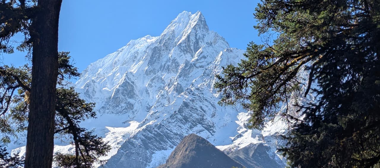
Lake
बिरेन्द्र ताल
3,690 m
Birendra Tal is a glacial lake below the Manaslu Glacier, a short walk from Samagaun. Ice regularly breaks off into the lake. It is an easy acclimatisation outing.
Read place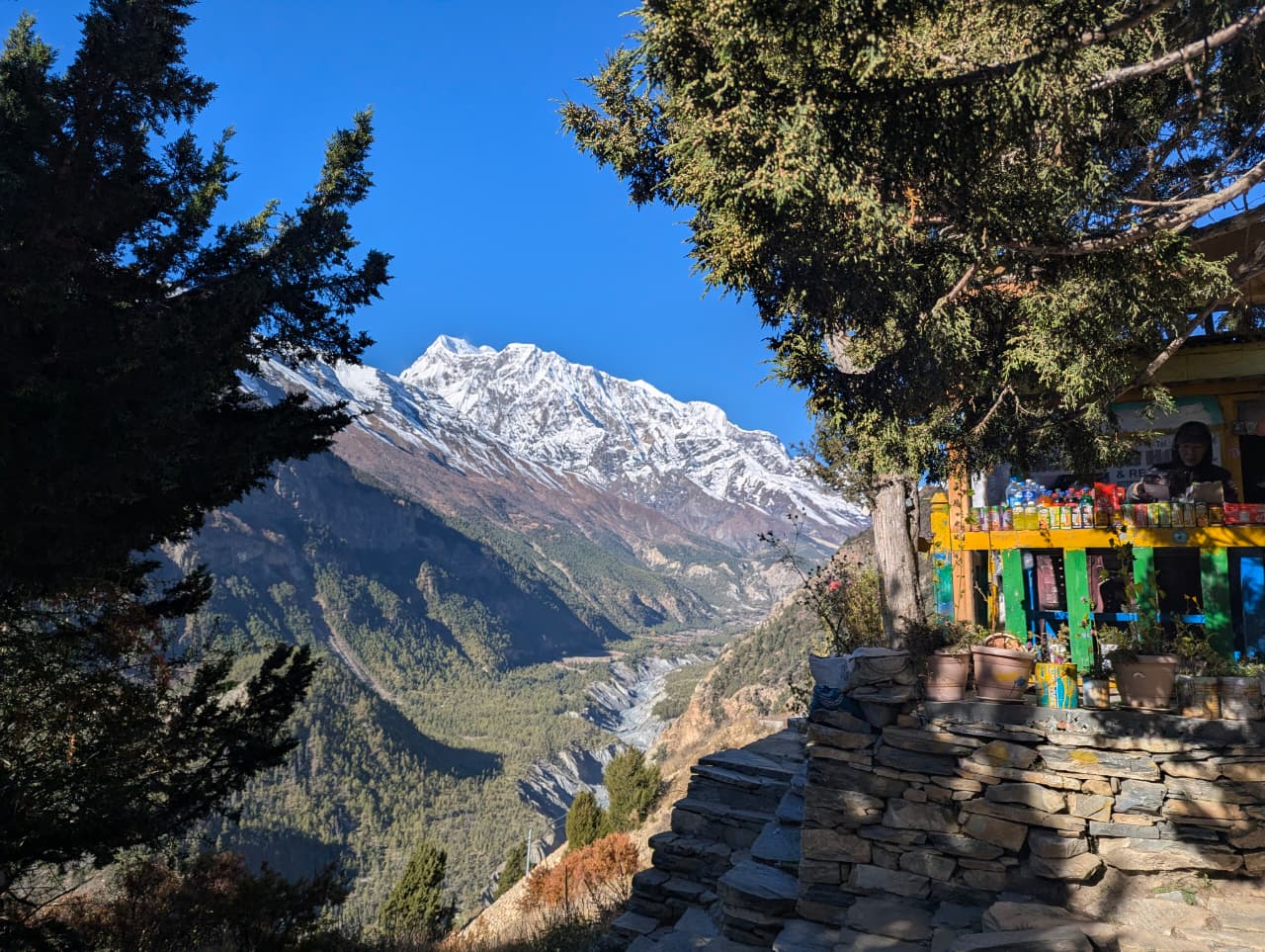
Checkpoint
बिरेठाँटी
1,025 m
Birethanti is a village at the confluence of the Modi and Bhurungdi rivers, just above Nayapul, with the ACAP and TIMS checkpoint for the Poon Hill and Annapurna Base Camp treks. Trekkers must show their permits here. It has lodges and shops and is a pleasant first or last stop on the trail.
Read place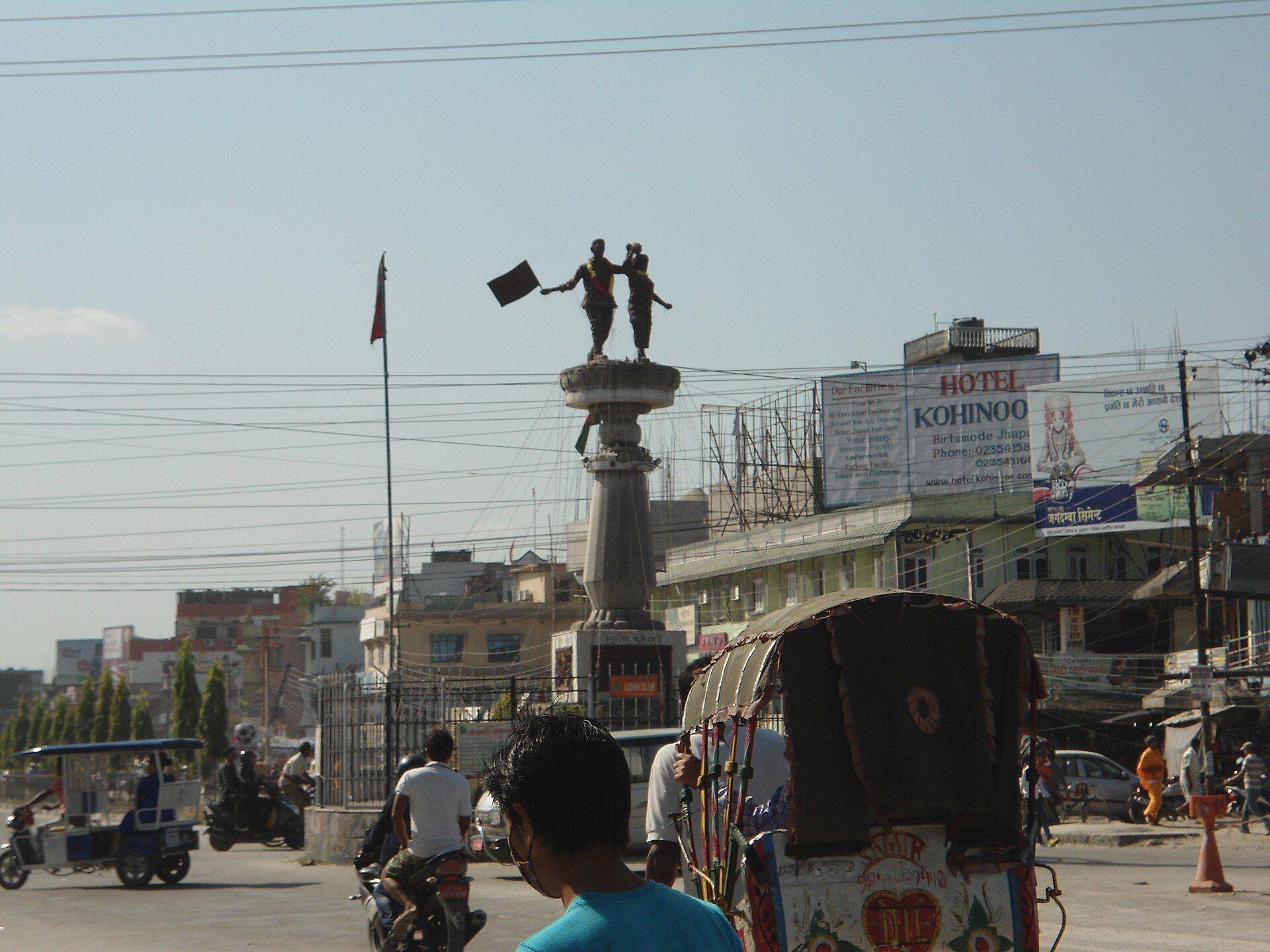
Town / city
Birthmod
58 m
Birthmode is a rural settlement in eastern Nepal and part of the broader landscape surrounding the Kanchenjunga region. The area reflects the traditional character of Nepal's eastern hills.
Read place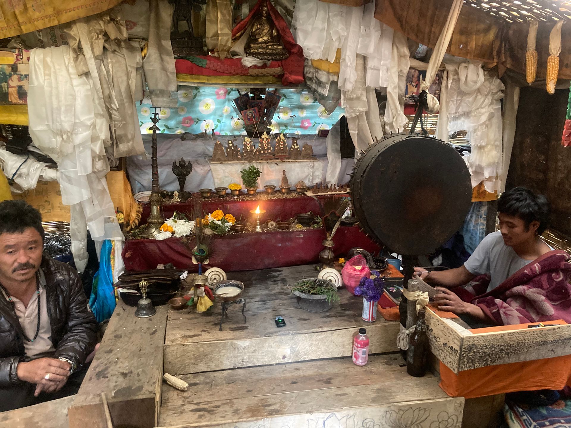
Religious site
बौद्धनाथ
1,310 m
Boudhanath is one of the largest stupas in the world and the centre of Tibetan Buddhism in Kathmandu. It is a UNESCO World Heritage Site surrounded by monasteries. Walking the kora around it at dusk is a classic Kathmandu experience.
Read place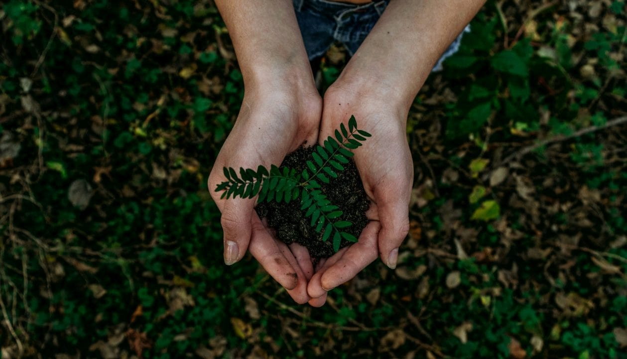
Village
ब्रिद्दिम
2,229 m
Briddim is a Tamang and Tibetan village known for its community homestays, on the Tamang Heritage Trail. Guests stay with local families and share their meals. It overlooks the Langtang and Bhote Koshi valleys.
Read place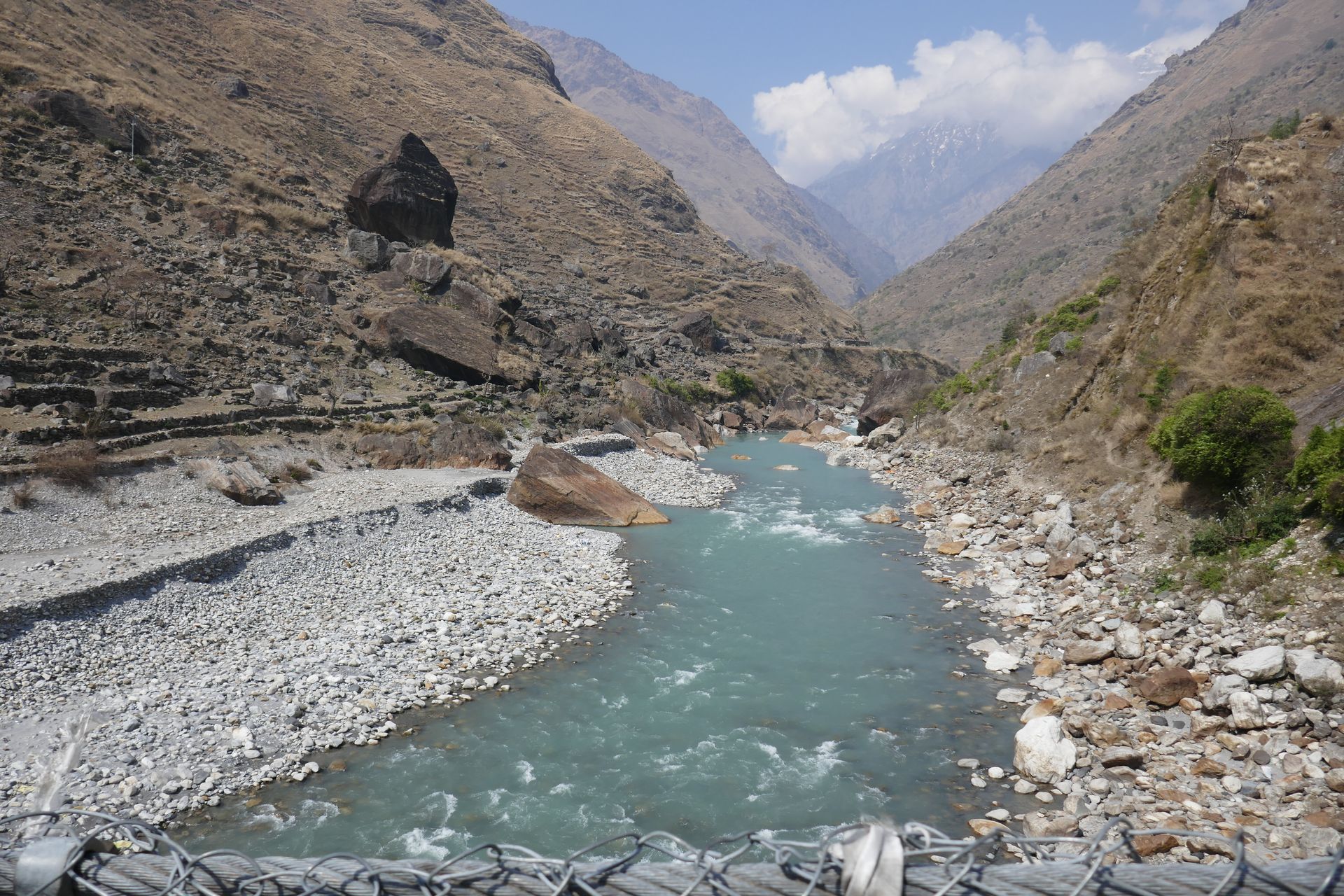
River
बुढीगण्डकी
500 m
The Budhi Gandaki rises near the Tibet border and flows south around Manaslu through a deep gorge to join the Trishuli near Benighat. The lower Manaslu Circuit follows it for several days.
Read place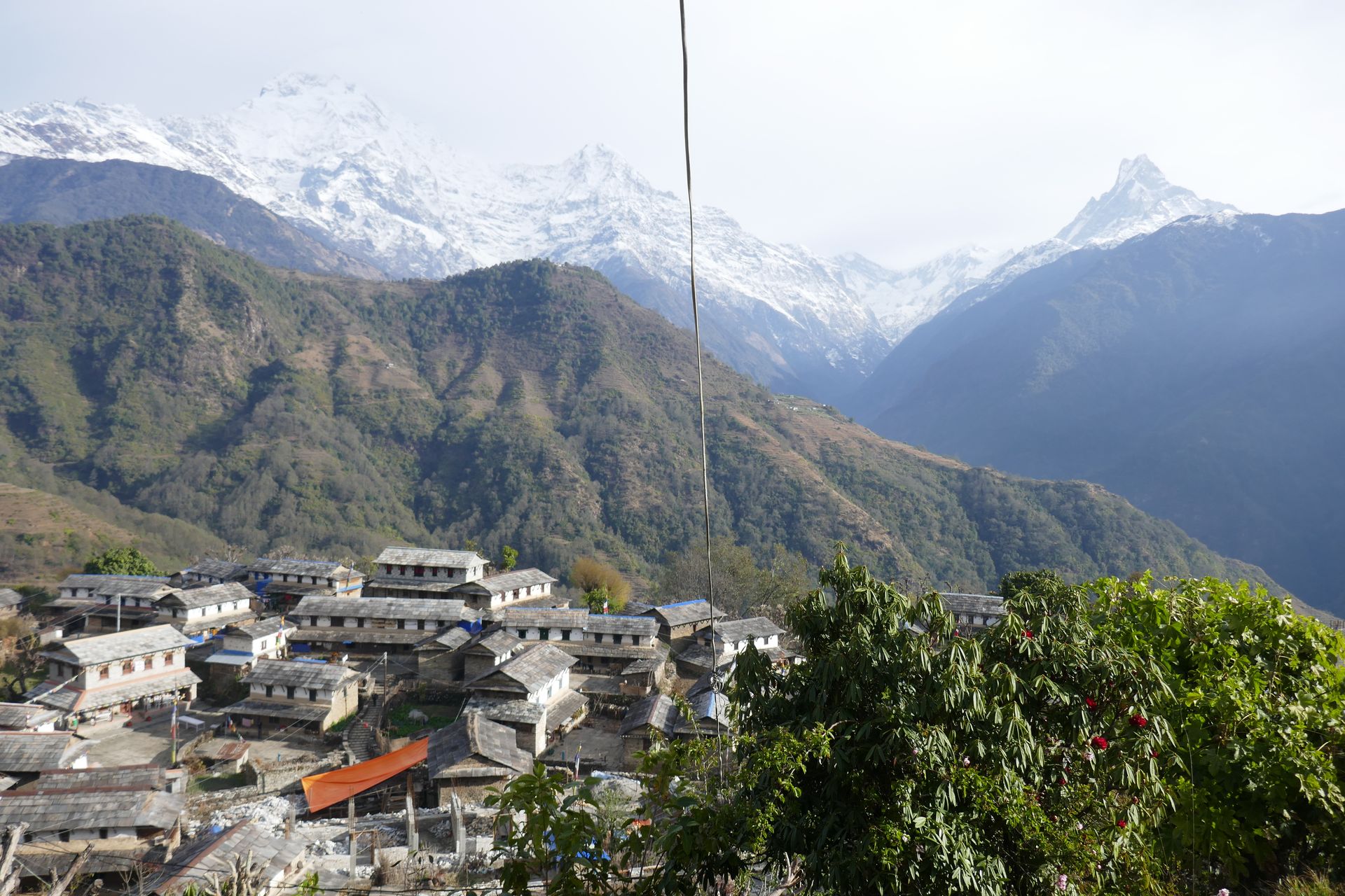
Town / city
चैनपुर
1,300 m
Chainpur is the district headquarters of Bajhang, on the Seti river. It is the start of the Saipal Himal trek. It is reached by road from Dhangadhi.
Read place

