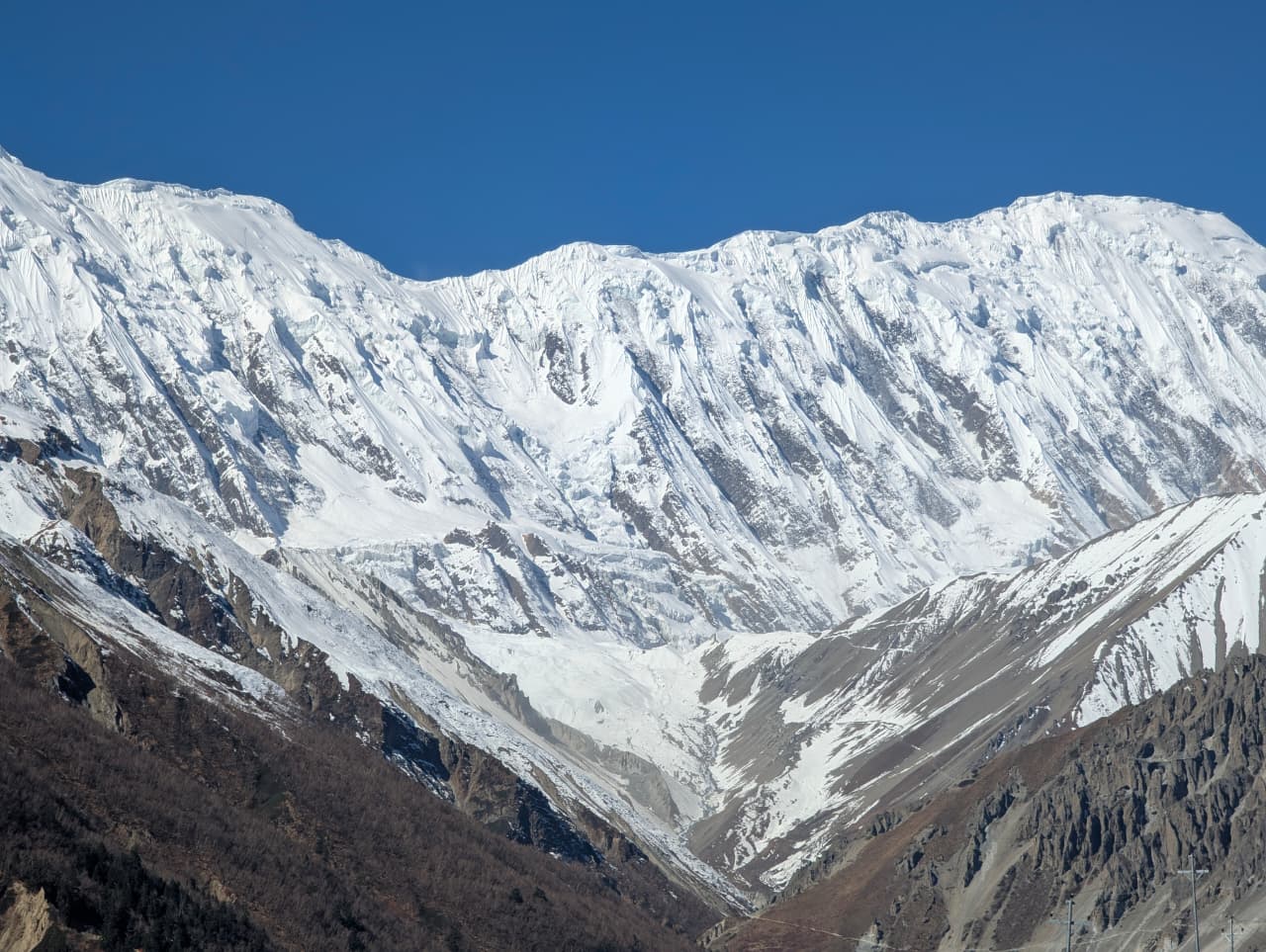
Town / city
चामे
2,670 m
Chame is the district headquarters of Manang, with shops, lodges and small hot springs by the river. It looks up at Lamjung Himal and Annapurna II. It is a key overnight stop on the Annapurna Circuit, and the turn-off for Nar Phu is just below at Koto.
Read place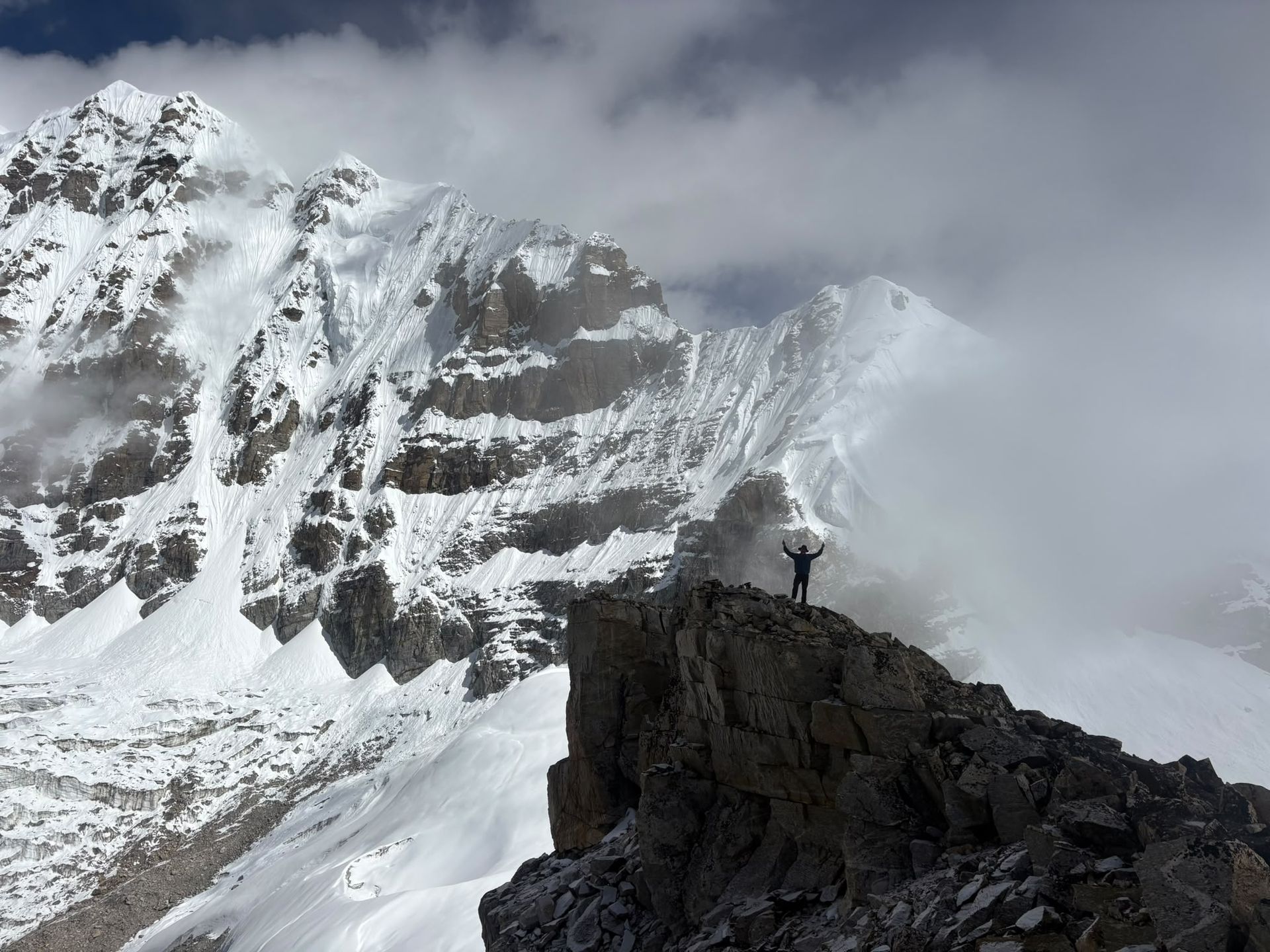
Mountain peak
चाम्लाङ
7,321 m
Chamlang is a 7,321 m peak south-west of Makalu, a long icy wall seen from the Makalu Base Camp trail. It rises above the Hongu and Barun valleys.
Read place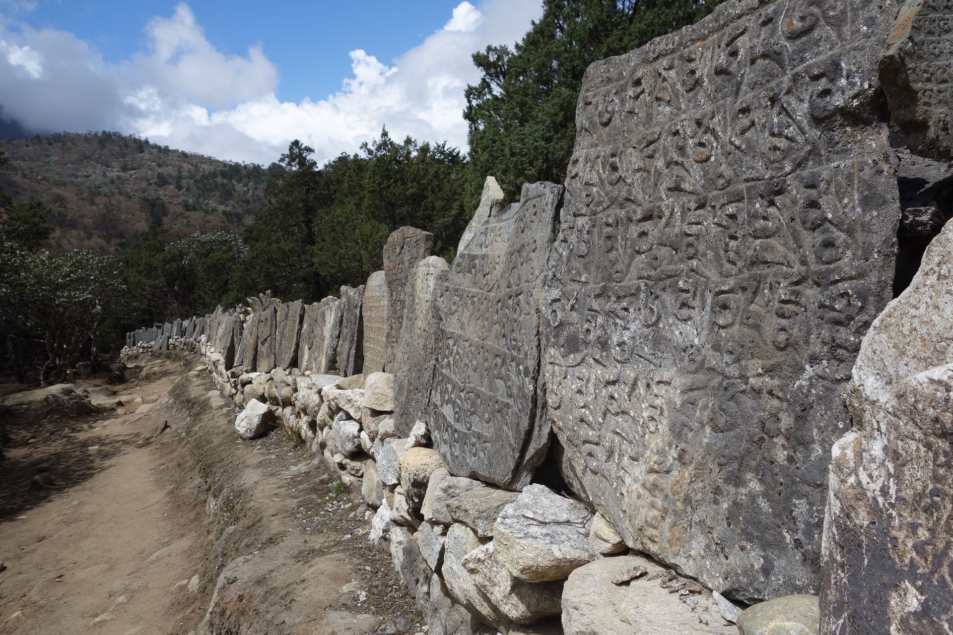
Town / city
चरिकोट
1,970 m
Charikot is the district headquarters of Dolakha, a ridge-top town on the road to Jiri with views of Gaurishankar. Nearby Dolakha Bazaar is home to the Bhimsen temple. It is the road junction for the Rolwaling Valley via Gongar and Singati.
Read place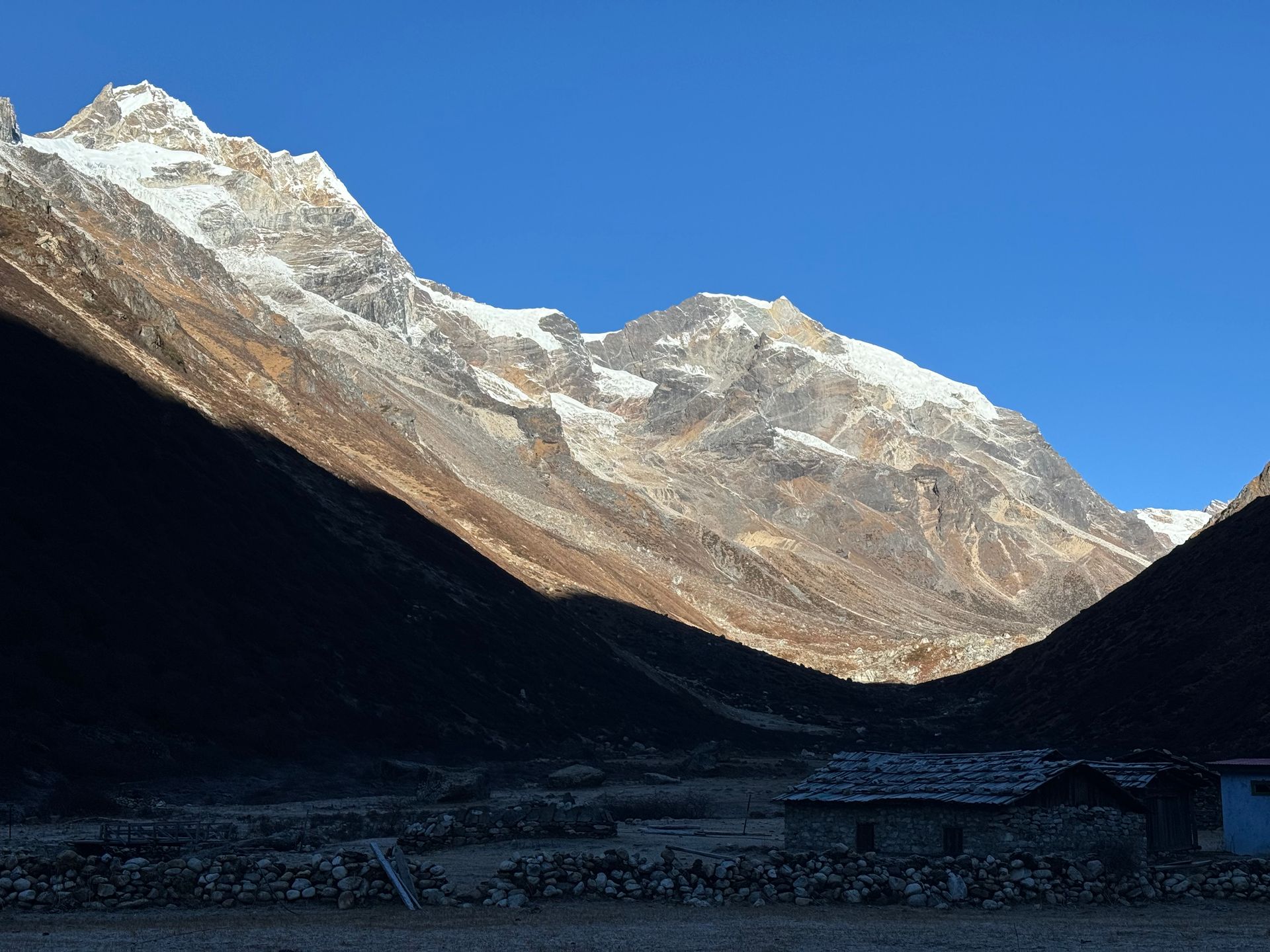
Village
चौकी
2,700 m
Chauki is a small ridge village on the Tinjure–Milke–Jaljale trail, with views of Makalu and Kanchenjunga. It is a common overnight stop. In spring, the surrounding forest blooms with rhododendron.
Read place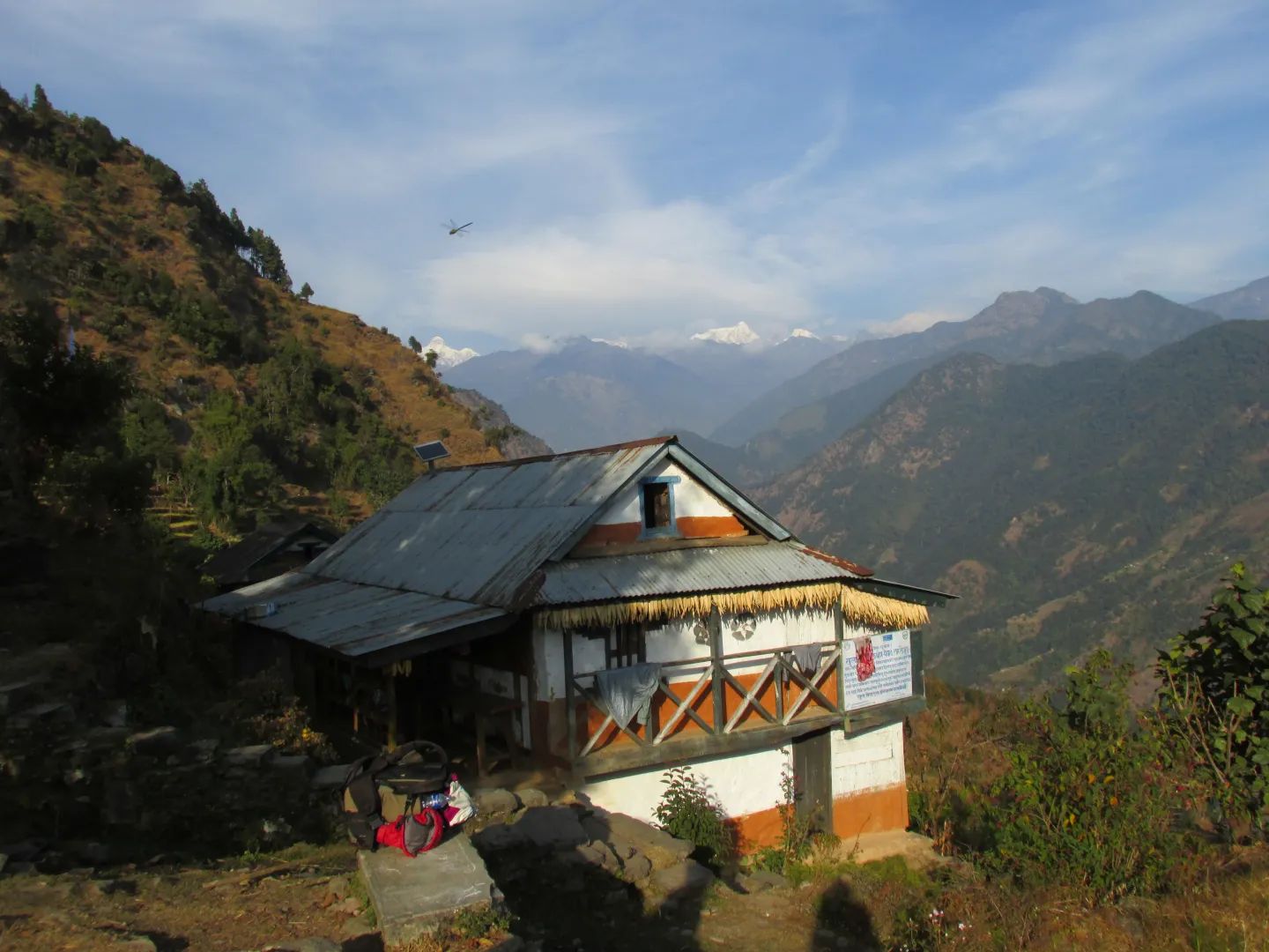
Place
चेपाङ पहाड
400 m
The Chepang Hills are the homeland of the Chepang, one of Nepal’s indigenous peoples, in the hills between Chitwan, Dhading and Gorkha. The Chepang Hill Trail is a community trek through their villages. It is a low-altitude route with views of Manaslu, Ganesh Himal and Annapurna.
Read place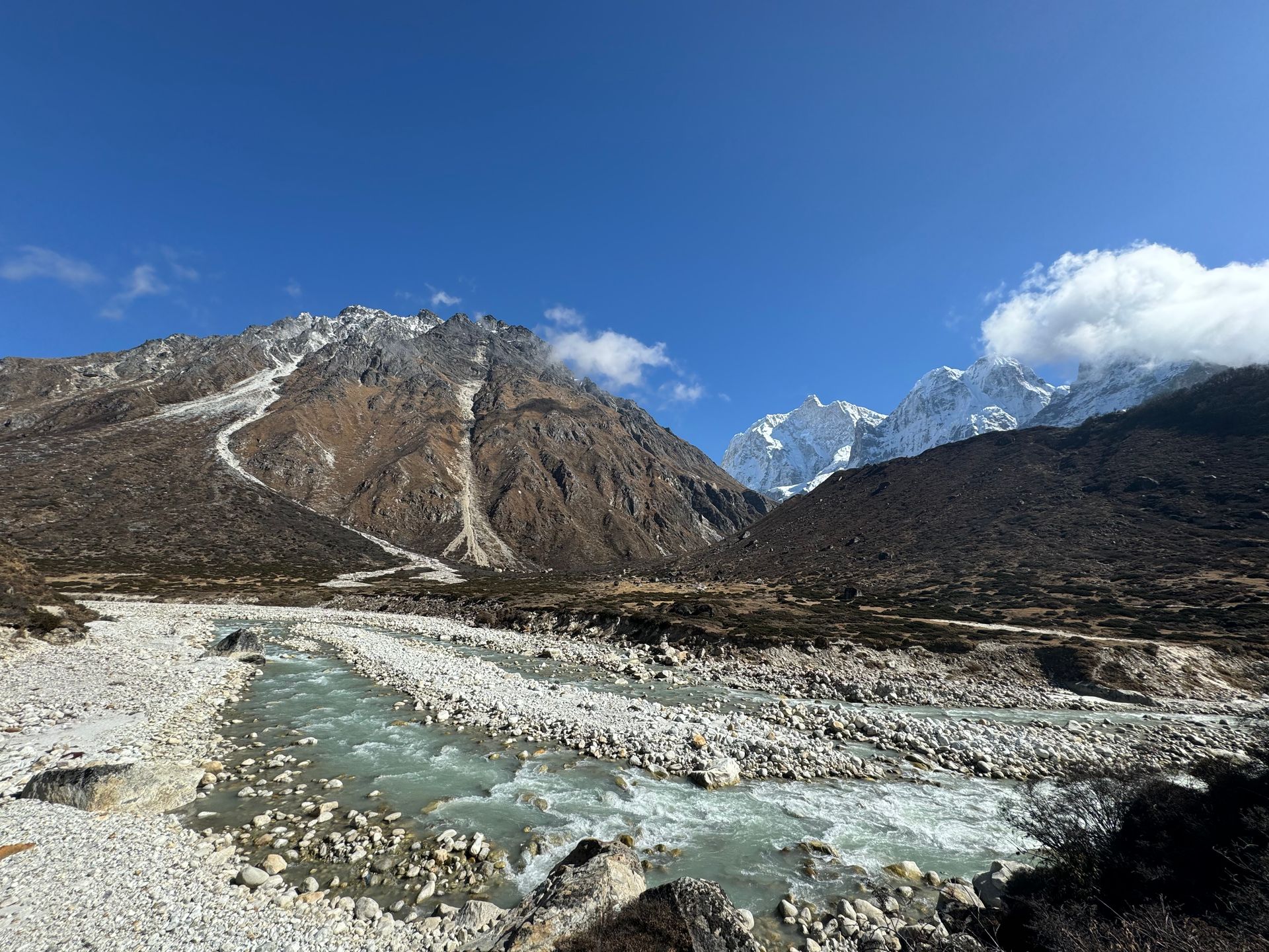
River
Chhiring Khola is a mountain stream in the Kanchenjunga region of Taplejung district, part of the Tamor river system.
Read place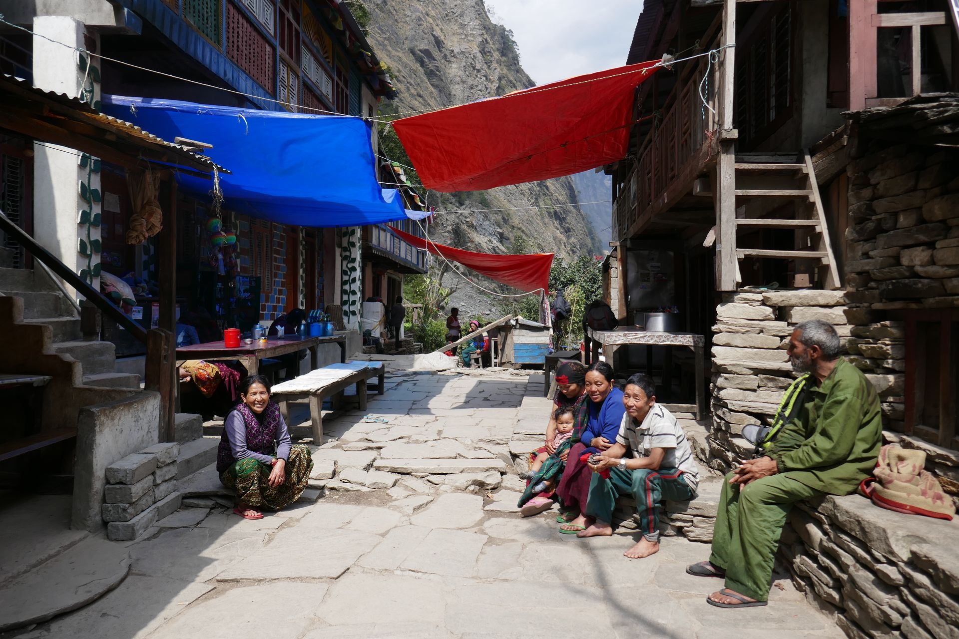
Village
छोकाङपारो
3,010 m
Chhokangparo is a pair of villages in Upper Tsum on a wide plateau with views of Ganesh Himal. It is a centre of Tsumba culture. The Milarepa cave is near here.
Read place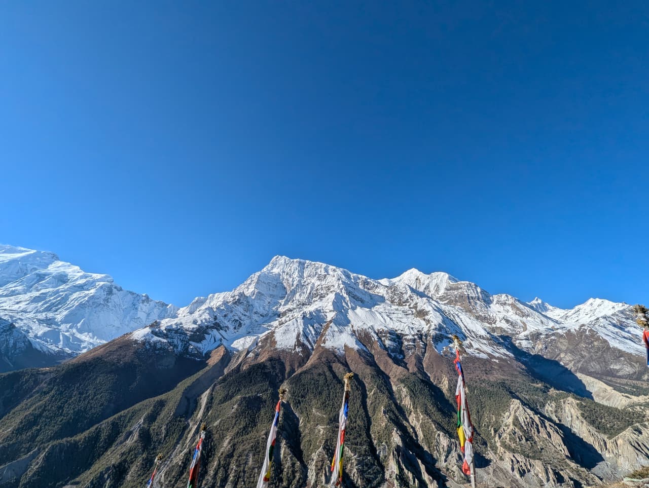
Village
छोमरोङ
2,170 m
Chhomrong is a Gurung village spread across a steep hillside and the gateway to the Annapurna Sanctuary. Stone stairs climb through the village, and the lodges have close views of Annapurna South and Machhapuchhre. A checkpoint here registers trekkers entering the Sanctuary.
Read place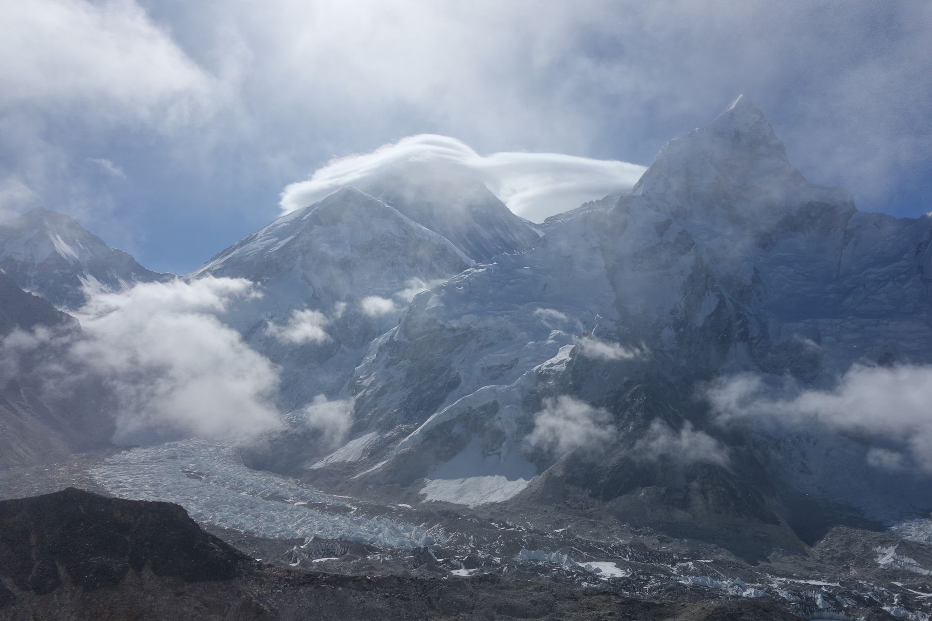
Village
छुकुङ
4,730 m
Chhukung is a small settlement at the head of the Imja valley, surrounded by the huge walls of Lhotse, Nuptse and Ama Dablam. It is the base for Island Peak climbs and for crossing the Kongma La on the Three Passes trek.
Read place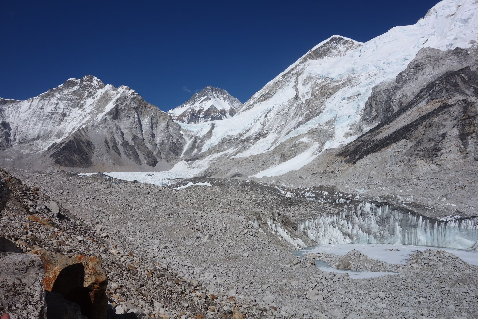
Viewpoint
छुकुङ री
5,550 m
Chhukung Ri is a rocky viewpoint above Chhukung, reached in a steep climb of a few hours. It looks straight onto the Lhotse south face, Island Peak, Makalu and Ama Dablam. It is a classic acclimatisation climb before crossing the Kongma La.
Read place
Village
छुसाङ
2,980 m
Chhusang is the first village of Upper Mustang beyond Kagbeni, beside eroded red cliffs dotted with ancient cave dwellings. A natural rock tunnel carries the Kali Gandaki nearby. From here the trail climbs onto the high plateau of Lo.
Read place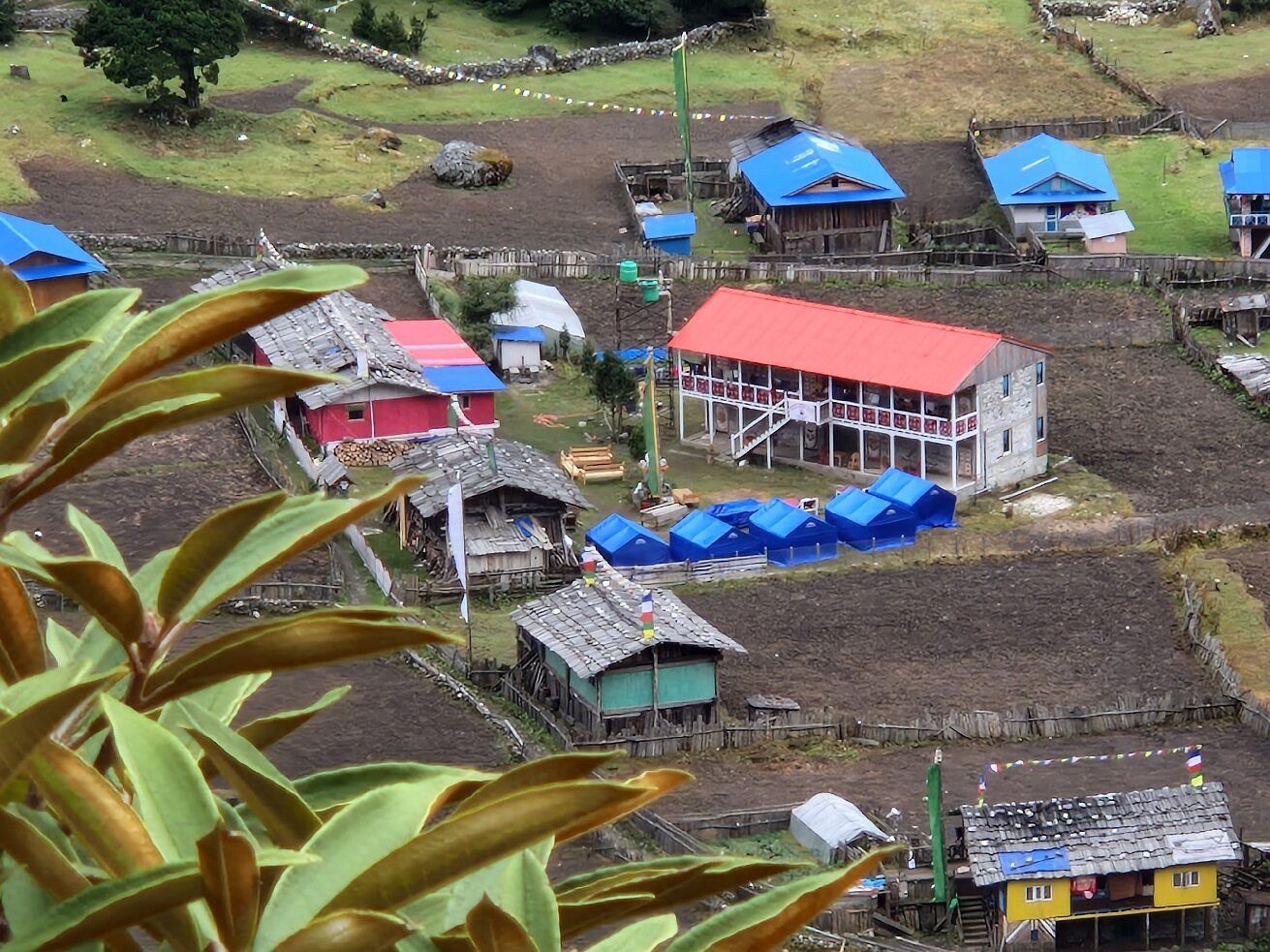
Village
1,270 m
Chirwa is a small village on the banks of the Tamor River, a common overnight stop on the first days of the Kanchenjunga North Base Camp trek. It is a warm, low-lying settlement among cardamom fields.
Read place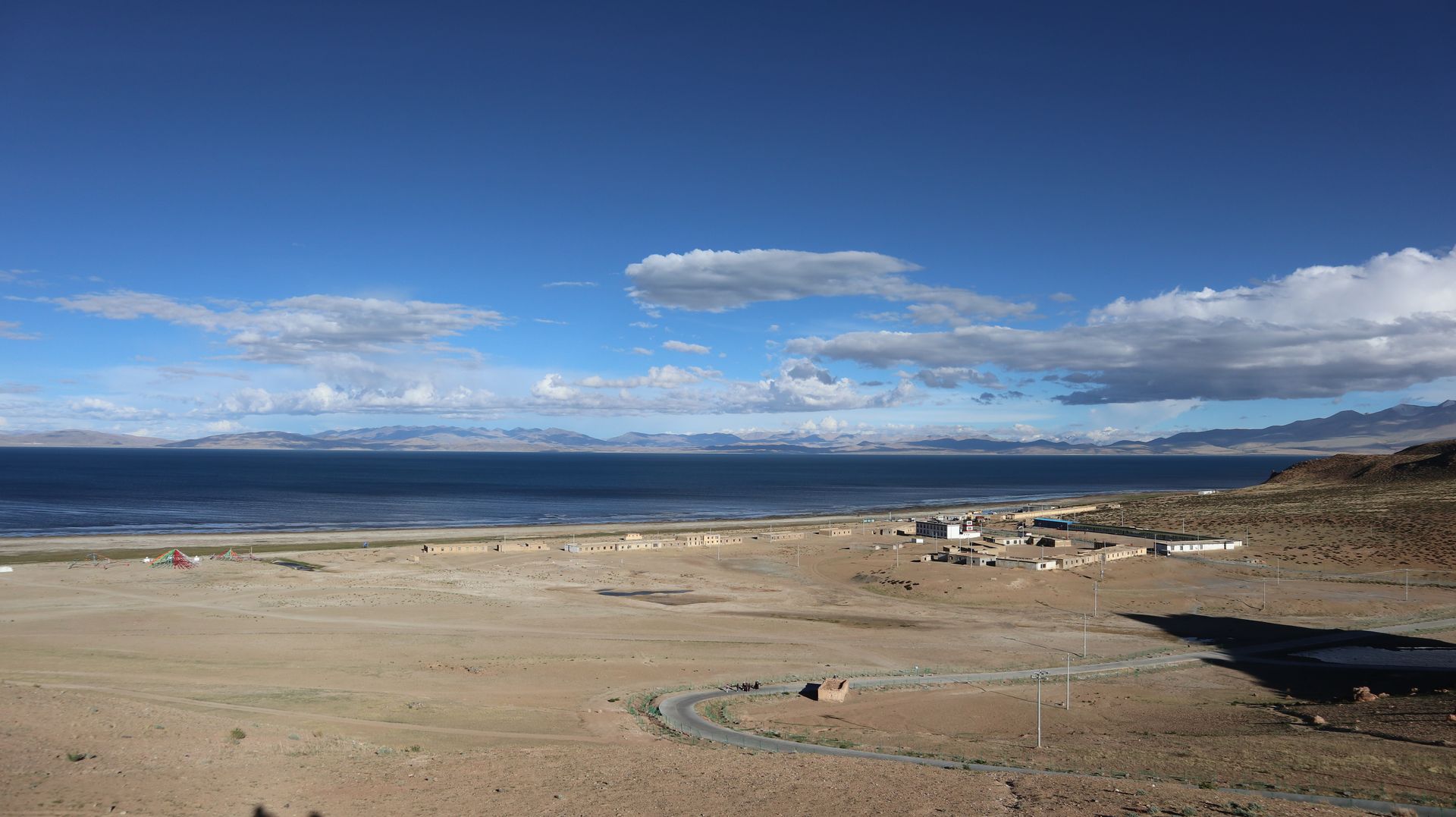
Village
चिसापानी
2,215 m
Chisapani, meaning “cold water”, is a ridge-top village in Shivapuri Nagarjun National Park, the first overnight stop on the Helambu trek. It has wide sunrise views from Langtang to Everest. It is reachable in a day’s walk from Sundarijal on the edge of Kathmandu.
Read place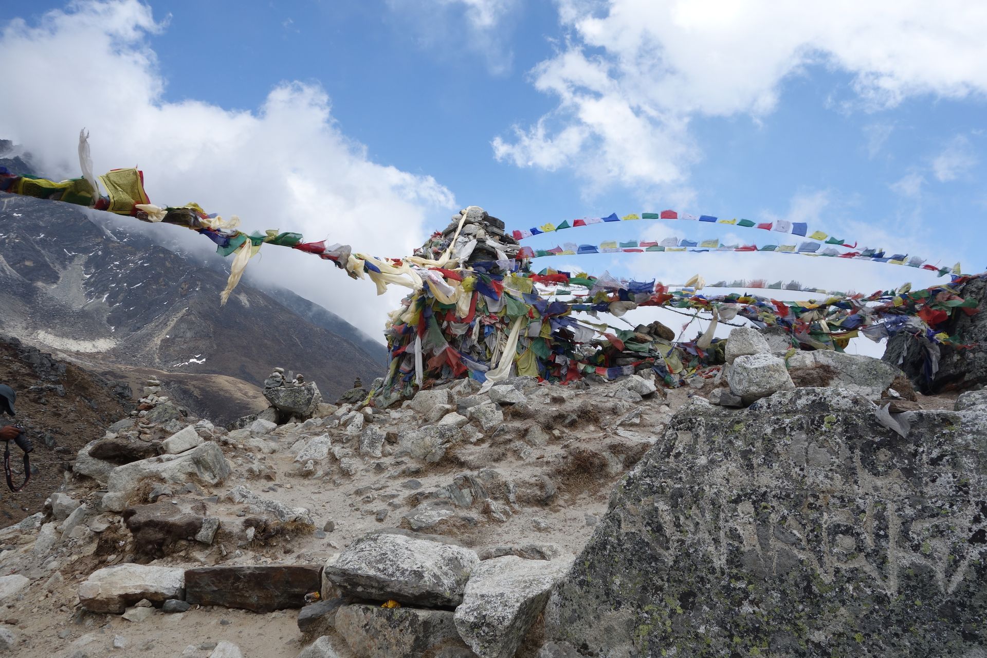
Religious site
चिवोङ गुम्बा
2,700 m
Chiwong Monastery sits on a cliff above Phaplu in the Solu region, founded in 1923. It hosts a Mani Rimdu festival. It is a short hike from Phaplu.
Read place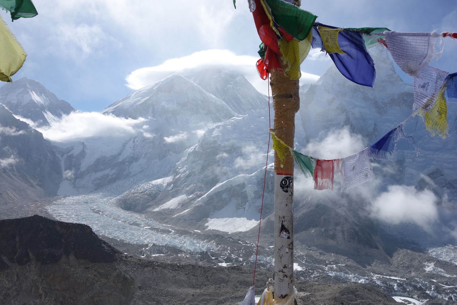
Pass
चो ला
5,420 m
Cho La is the pass connecting the Everest Base Camp valley with the Gokyo valley, crossed between Dzongla and Thagnak. The east side climbs over a small glacier, which can be icy. It is the key link on the Everest Three Passes and EBC Gokyo Lakes treks.
Read place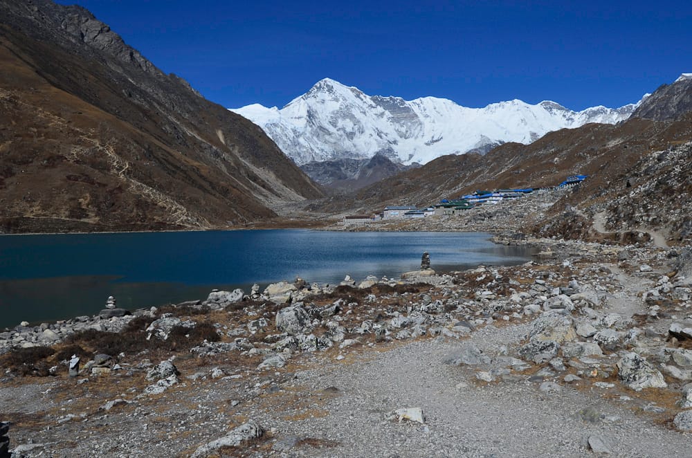
Mountain peak
चो ओयु
8,188 m
Cho Oyu, the “turquoise goddess”, is the sixth-highest mountain in the world at 8,188 m, on the Nepal–Tibet border west of Everest. It towers over the head of the Gokyo valley. Trekkers see it at its best from Gokyo, Gokyo Ri and the Ngozumpa Glacier.
Read place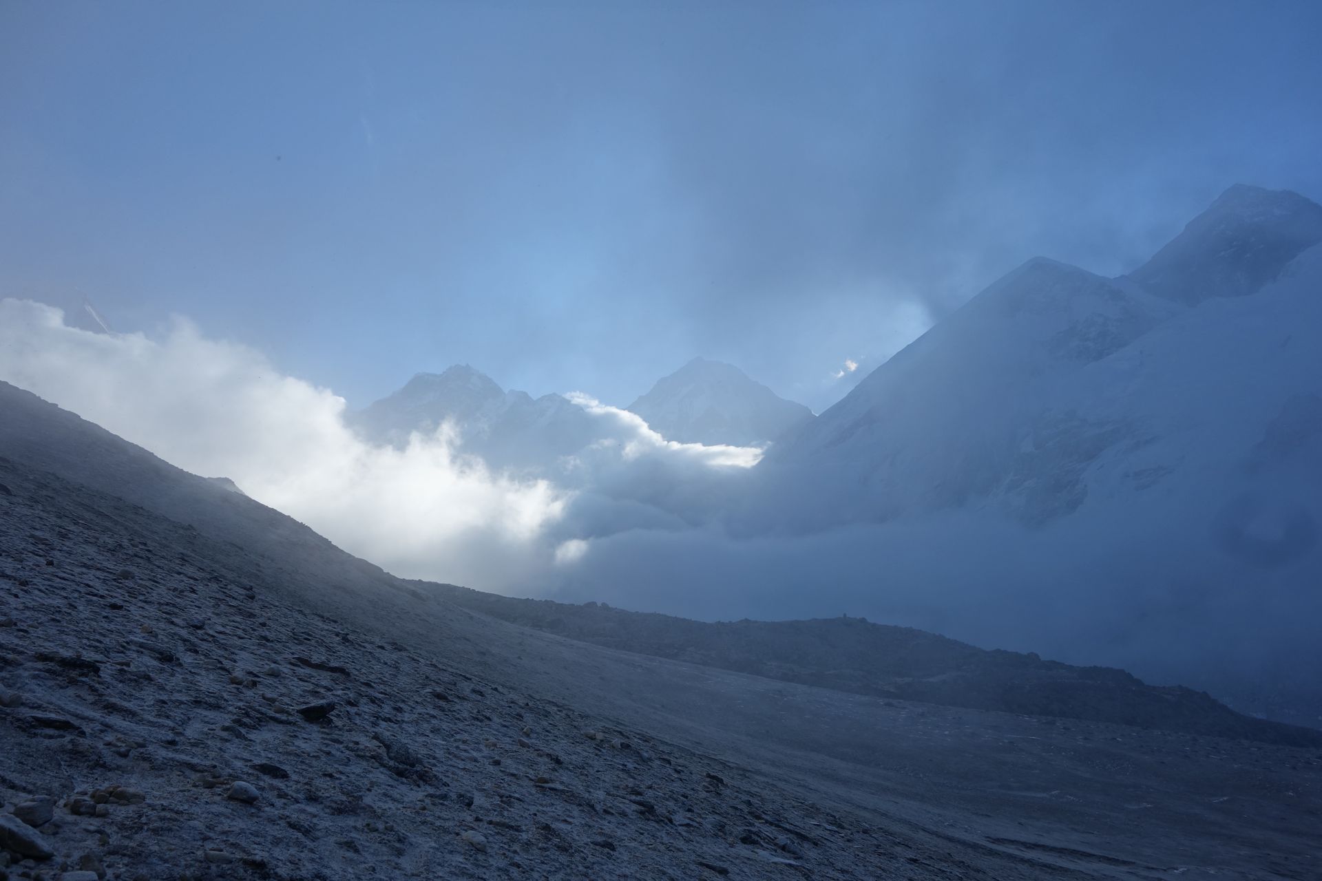
Mountain peak
चोलात्से
6,440 m
Cholatse (6,440 m) is a dramatic ice peak above Dzongla and the Gokyo valley in the Khumbu. See where to view it on the Everest Base Camp, Cho La and Gokyo treks.
Read place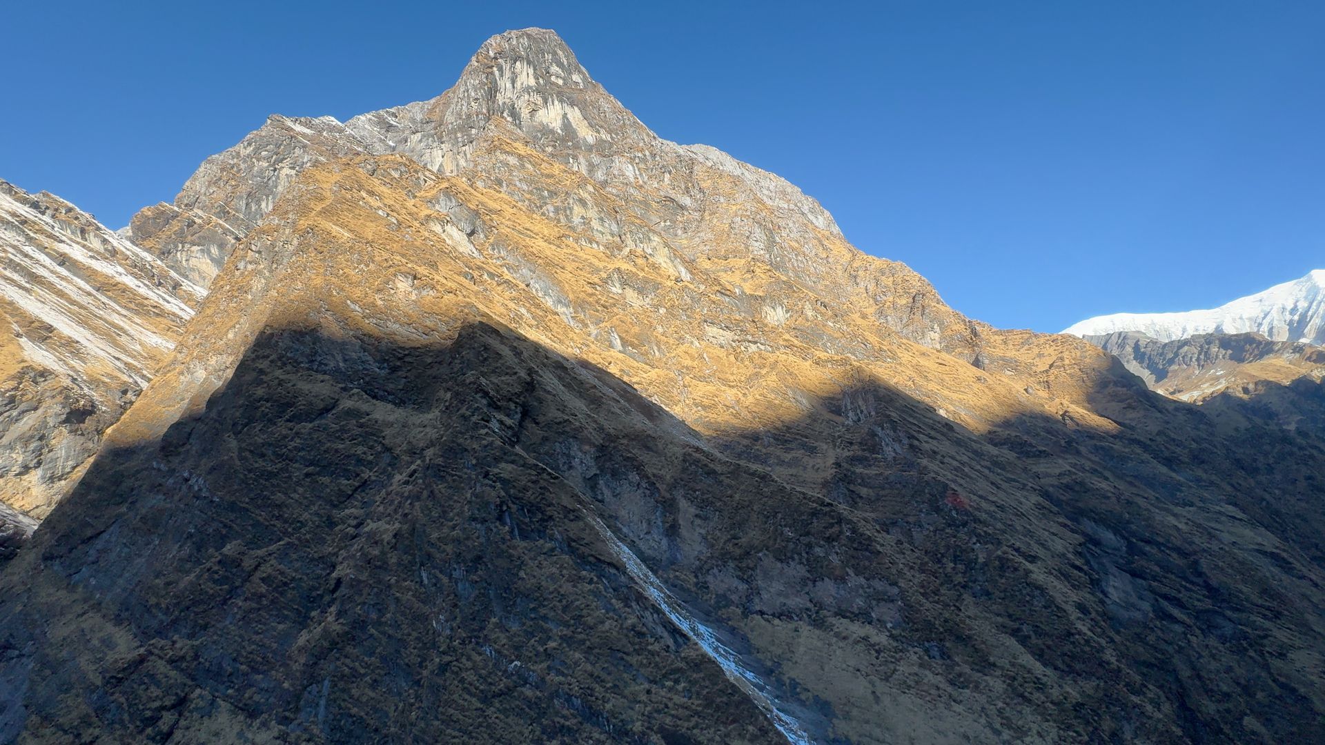
Place
छोसेर गुफा
3,850 m
The Choser caves north of Lo Manthang include the Jhong Cave, a multi-level complex of rooms carved into a cliff thousands of years ago. The area also has the Nyiphu and Garphu monasteries. It is a popular day excursion from Lo Manthang.
Read place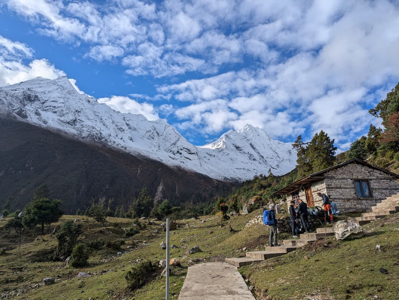
Village
चुम्लिङ
2,386 m
Chumling is the first village of Lower Tsum, with an old gompa and stone houses. It looks up at Shringi Himal. It is a common overnight on the Tsum Valley trek.
Read place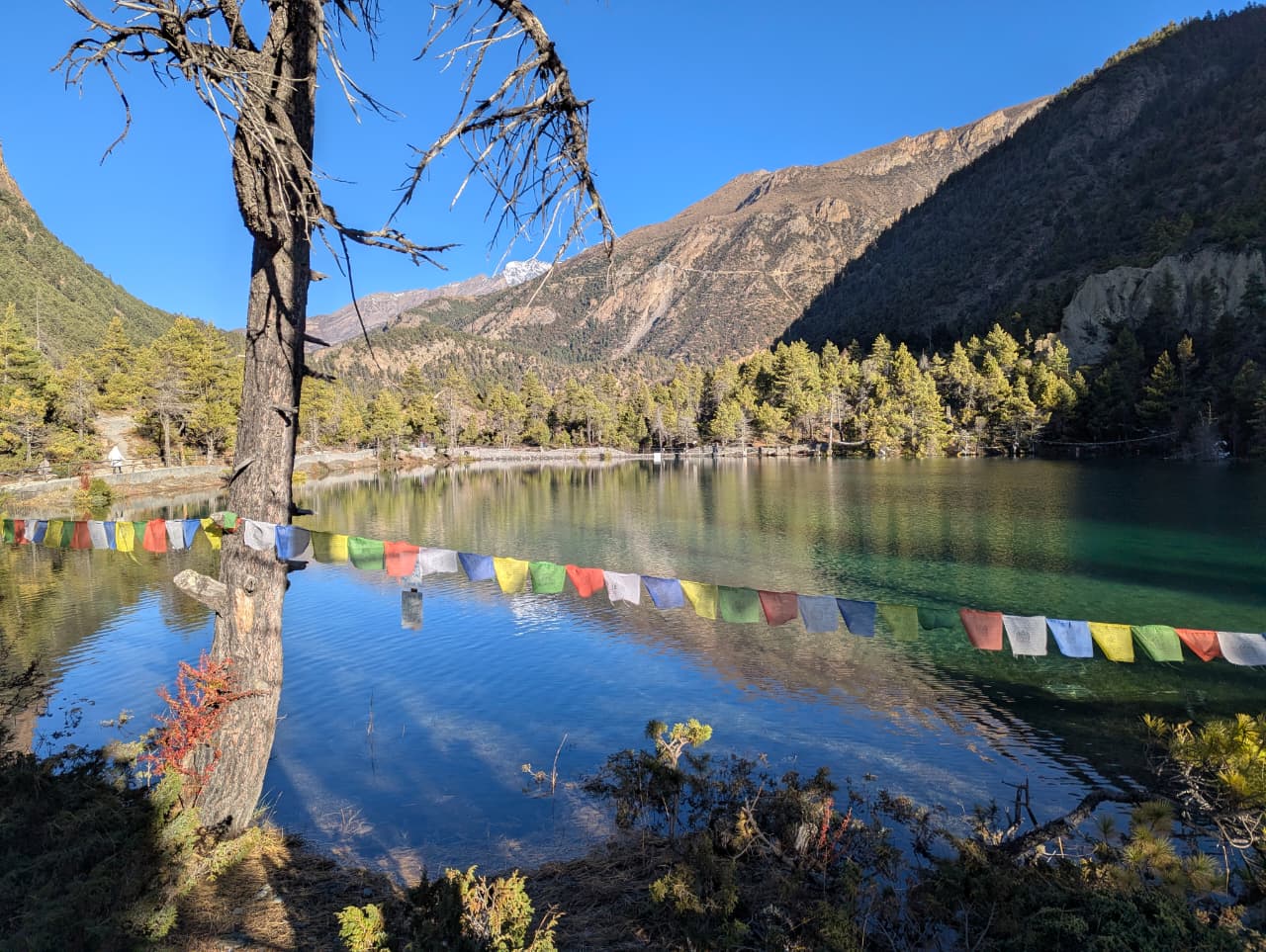
Lake
दामोदर कुण्ड
4,890 m
Damodar Kunda is a group of sacred lakes in the remote east of Upper Mustang, visited by Hindu pilgrims. It lies near the Tibet border at high altitude. Reaching it requires a long camping trek and a restricted area permit.
Read place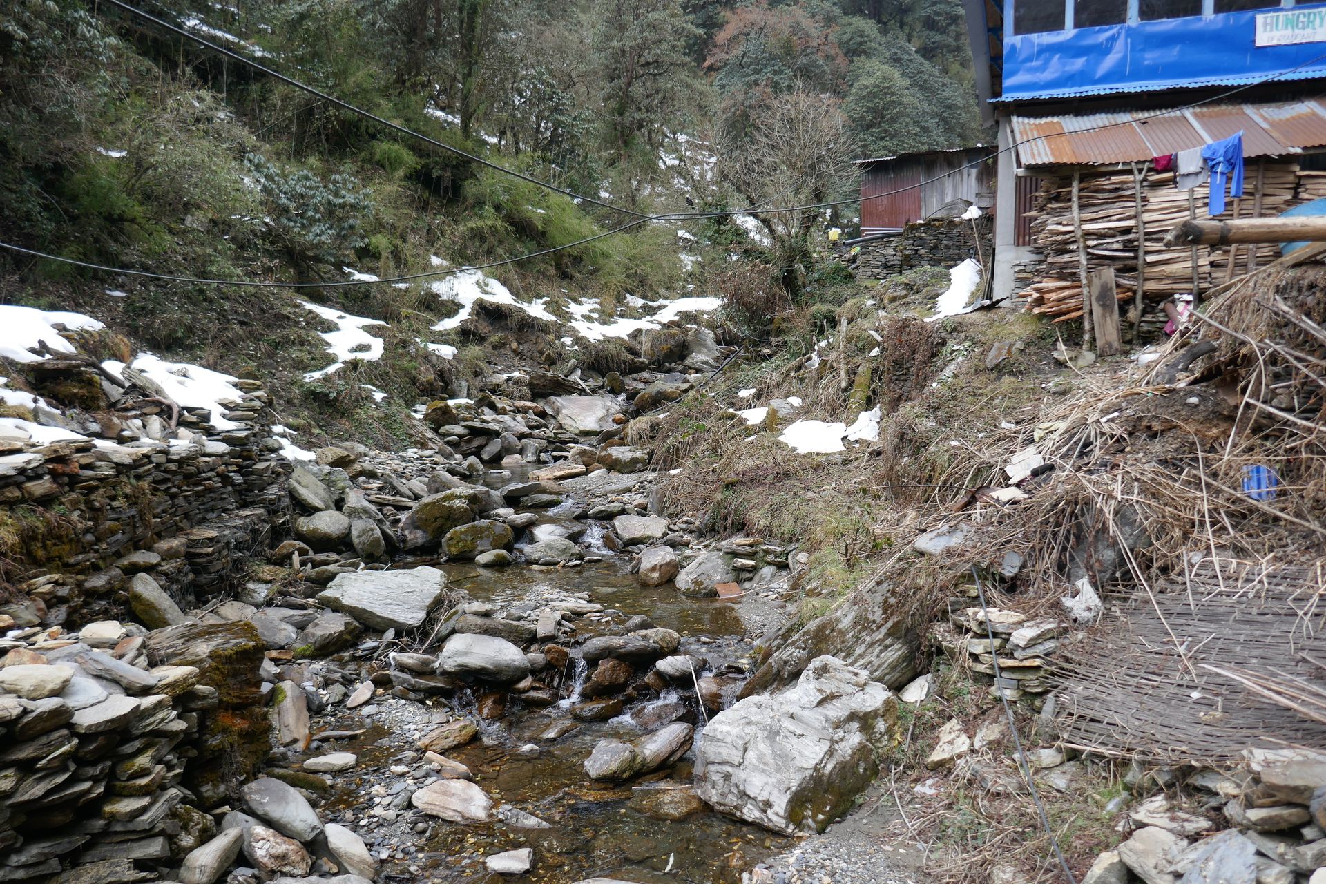
Town / city
दार्चुला
900 m
Darchula is the district headquarters on the Mahakali river, facing India. It is the gateway to the Api Himal region. It is reached by road from Dhangadhi.
Read place
Waterfall
पाताले छाँगो
790 m
Davis Falls, or Patale Chhango, is a waterfall in Pokhara where the outflow of Phewa Lake plunges into an underground tunnel. It is named after a woman who reportedly fell in here in 1961. It is a short visit opposite the Gupteshwor cave.
Read place
Village
देङ
1,860 m
Deng is a small village in the upper Budhi Gandaki gorge on the Manaslu Circuit, where Tibetan-influenced Nubri culture begins. Mani walls and chortens line the trail. It is a common overnight on the way to Namrung.
Read place
Village
देउराली
3,200 m
Deurali is the last group of lodges below the Annapurna Sanctuary, at the point where the Modi Khola gorge opens up. Above here the trail passes avalanche-prone slopes, which can close in heavy snow. Many trekkers overnight here before continuing to Machhapuchhre and Annapurna Base Camp.
Read place

