Village
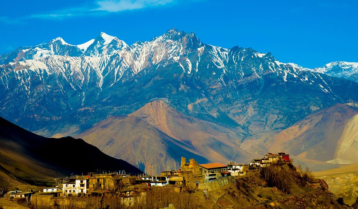
धम्पुस
1,650 m
Dhampus is a Gurung village on a ridge north-west of Pokhara, popular for short treks and homestays. The mountain views take in Annapurna South, Machhapuchhre and Lamjung Himal. It is on the trail between Pokhara and Landruk.
Read place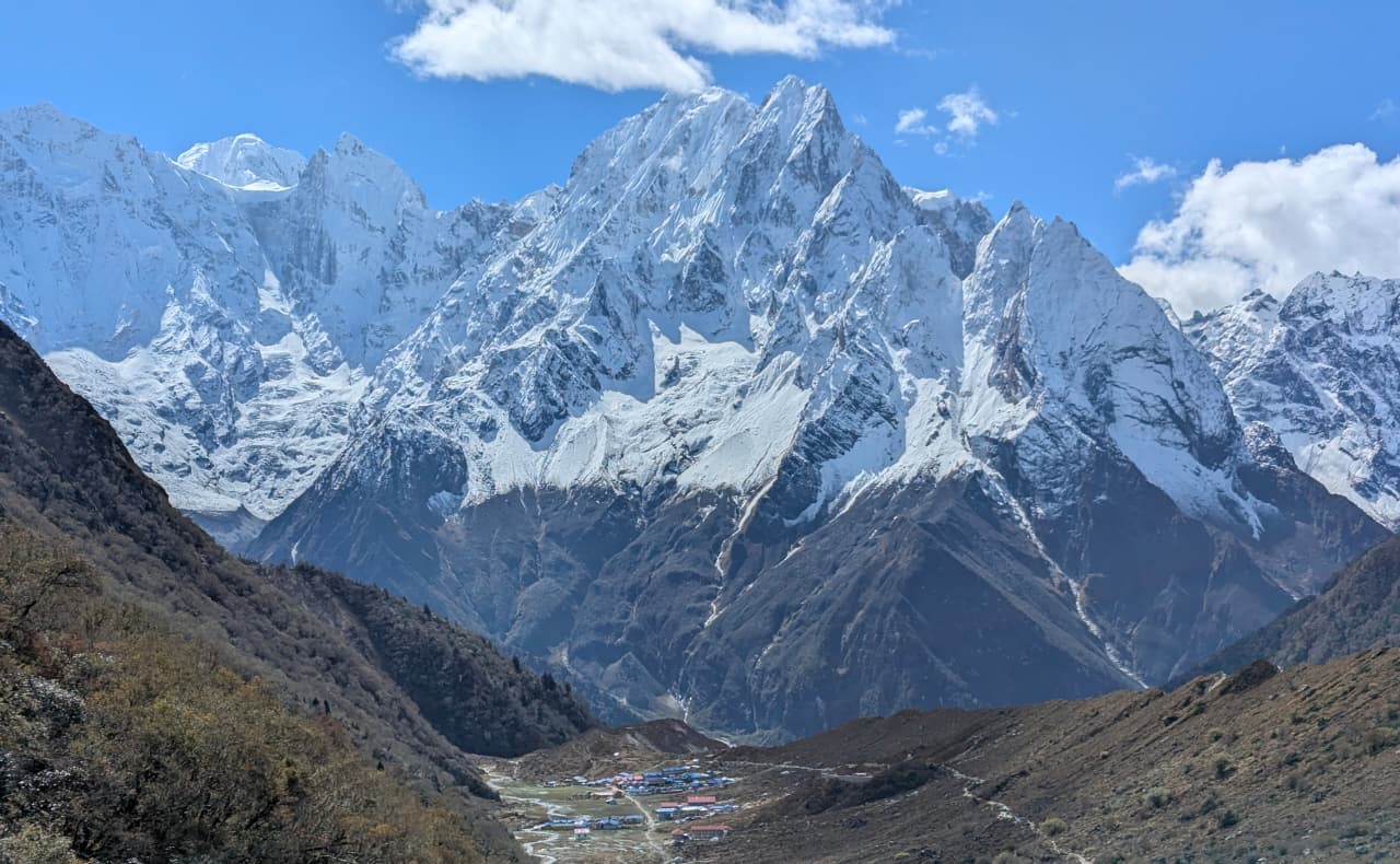
Village
धर्मशाला (लार्क्य फेदी)
4,460 m
Dharamsala, also called Larkya Phedi, is a basic lodge stop at the foot of the Larkya La. Trekkers sleep here and leave before dawn for the pass. Facilities are limited and it is very cold.
Read place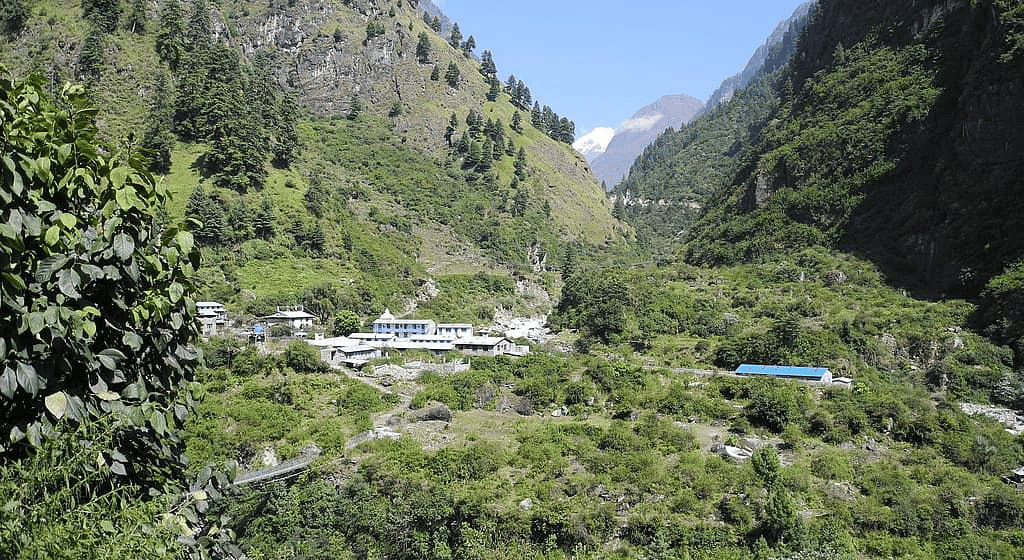
Village
धारापानी
1,860 m
Dharapani is a village on the Marsyangdi where the Manaslu Circuit, coming down from Bimthang, joins the Annapurna Circuit. It has an ACAP and police checkpoint. Most Manaslu Circuit treks end here and drive back to Besisahar.
Read place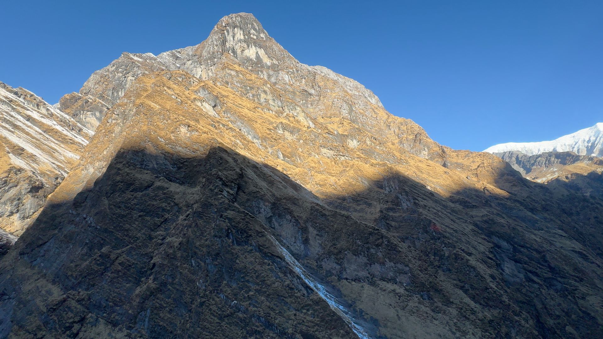
Mountain peak
धौलागिरि
8,167 m
Dhaulagiri, the “white mountain”, is the seventh-highest mountain in the world at 8,167 m. It towers over the Kali Gandaki gorge opposite Annapurna, forming the world’s deepest gorge. It is the star of the Poon Hill and Mohare Danda sunrise views.
Read place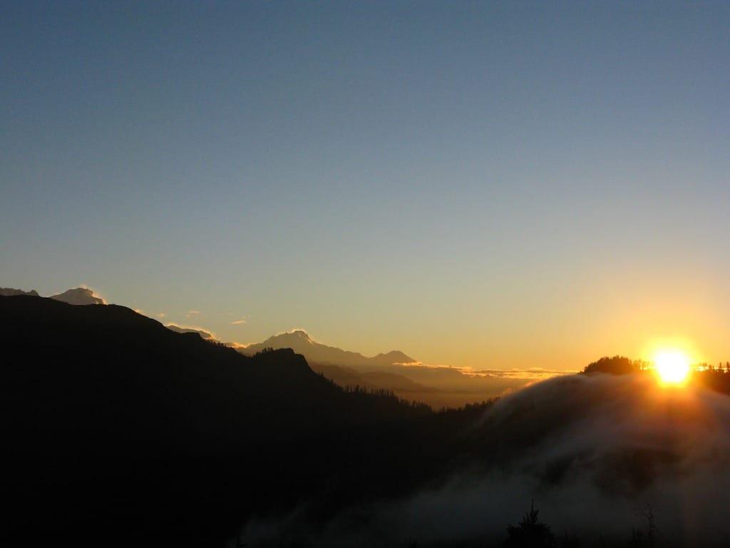
Mountain range
धौलागिरि हिमाल
8,167 m
The Dhaulagiri Himal is a range west of the Kali Gandaki, topped by Dhaulagiri I at 8,167 m. It has six summits over 7,000 m. It is the centrepiece of the Poon Hill and Mohare Danda views.
Read place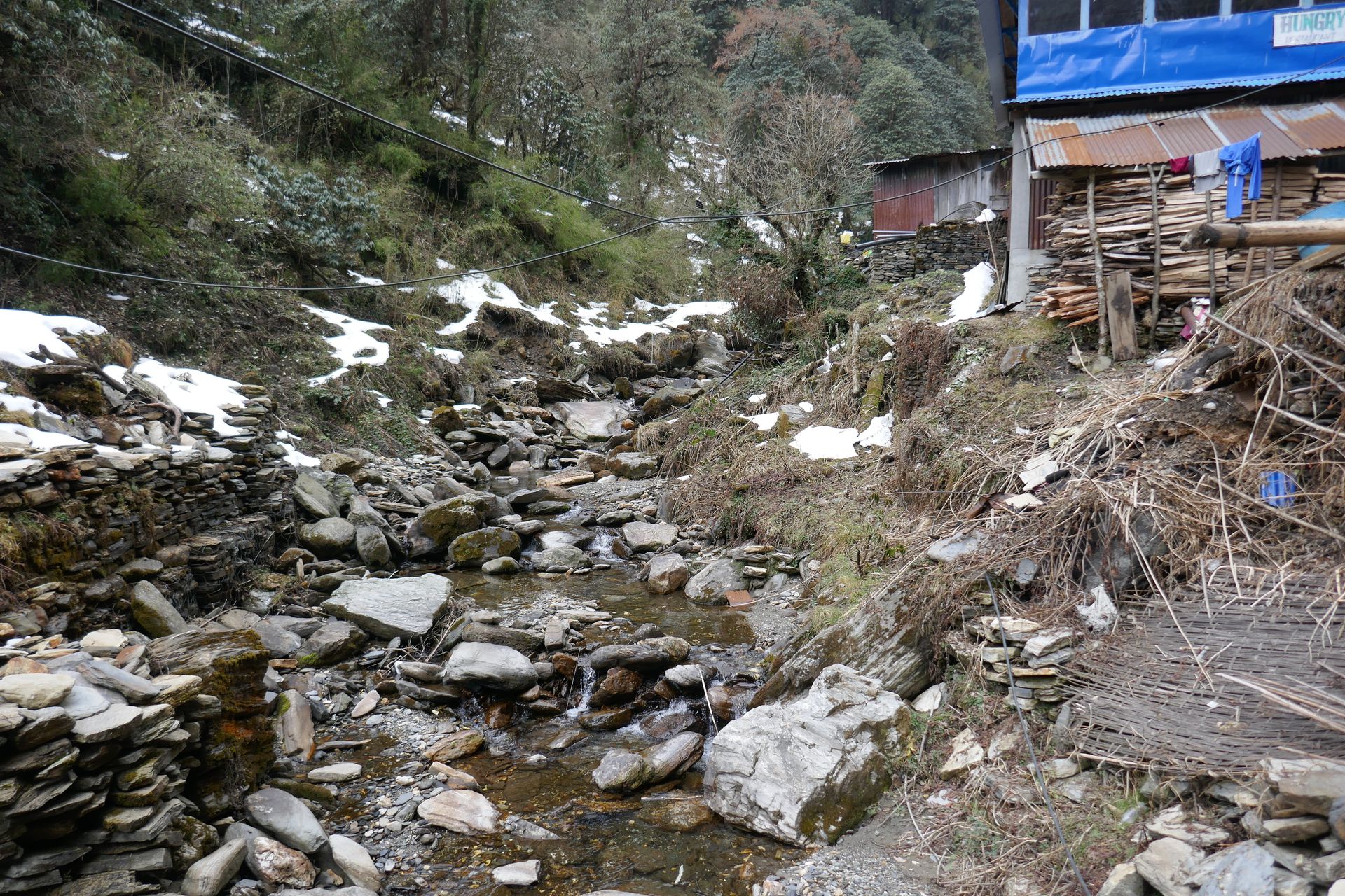
Village
धो तराप
4,040 m
Dho Tarap is a remote Tibetan village in the Tarap valley of Lower Dolpo, with both Buddhist and Bon gompas. It is one of the highest permanently inhabited villages in the area. It is a key stop on the Lower Dolpo trek.
Read place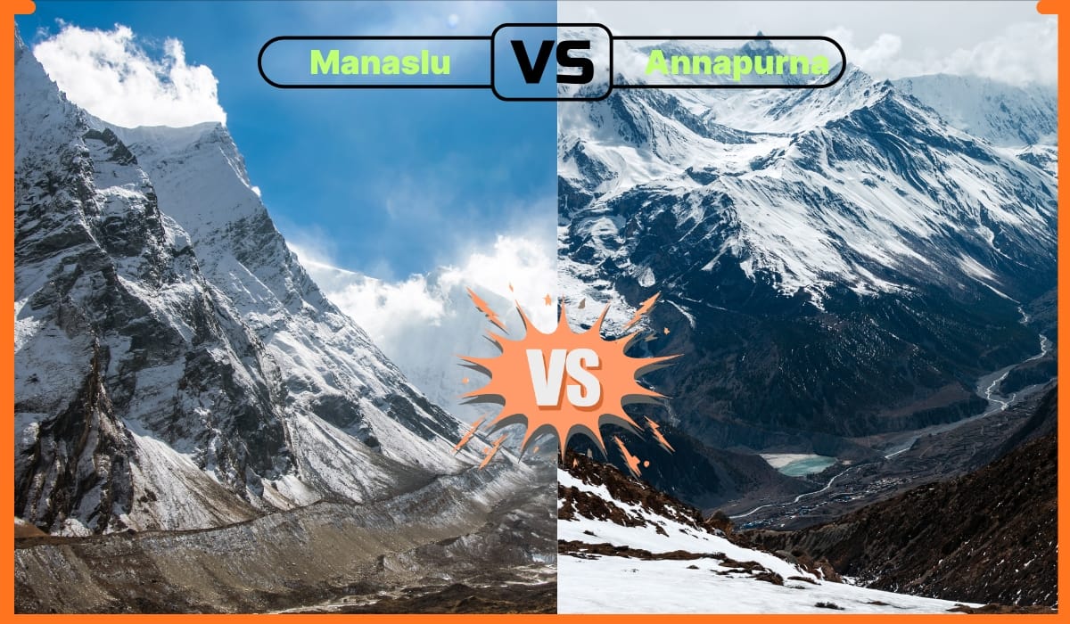
Village
ढोरपाटन
2,870 m
Dhorpatan is a remote valley of wide grasslands in western Nepal, home to Magar villages and a Tibetan settlement. It lies within Nepal’s only hunting reserve. The Dhorpatan trek is a quiet, off-the-beaten-path route with views of Dhaulagiri and Putha Hiunchuli.
Read place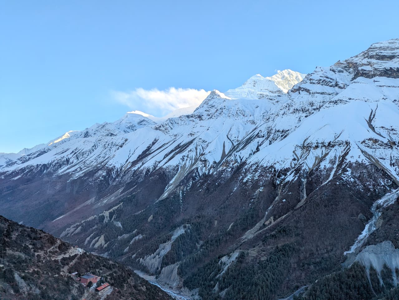
Conservation area
ढोरपाटन शिकार आरक्ष
2,850 m
Dhorpatan Hunting Reserve is Nepal’s only hunting reserve, established in 1987 and covering about 1,325 km² across Baglung, Rukum and Myagdi. It is known for blue sheep and Himalayan tahr. Trekkers visit its open meadows and remote villages on the Dhorpatan trek.
Read place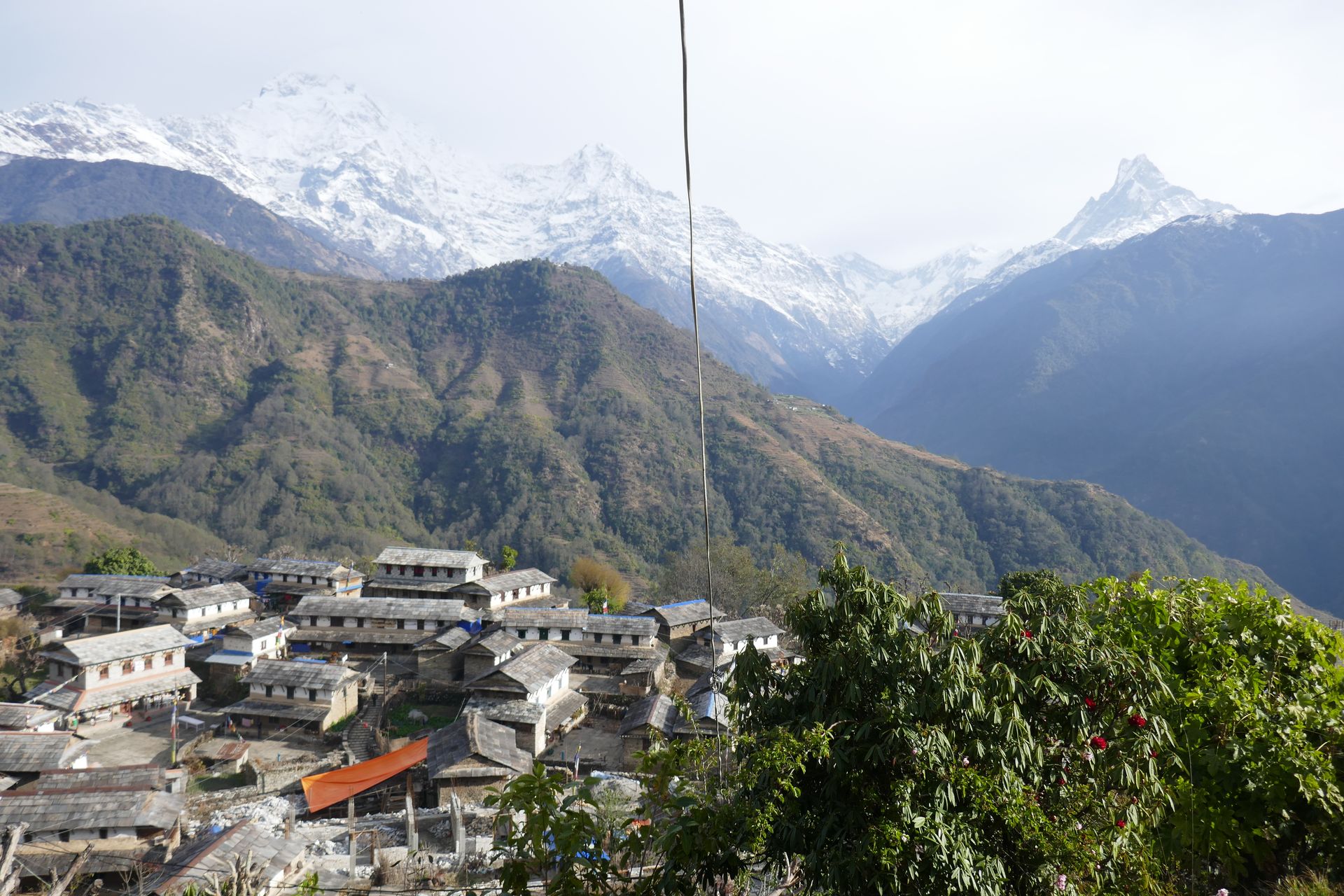
Town / city
धुन्चे
1,960 m
Dhunche is the district headquarters of Rasuwa and the entry point to Langtang National Park. It is the classic starting point for the Gosaikunda trek. The town sits on a steep hillside above the Trishuli valley.
Read place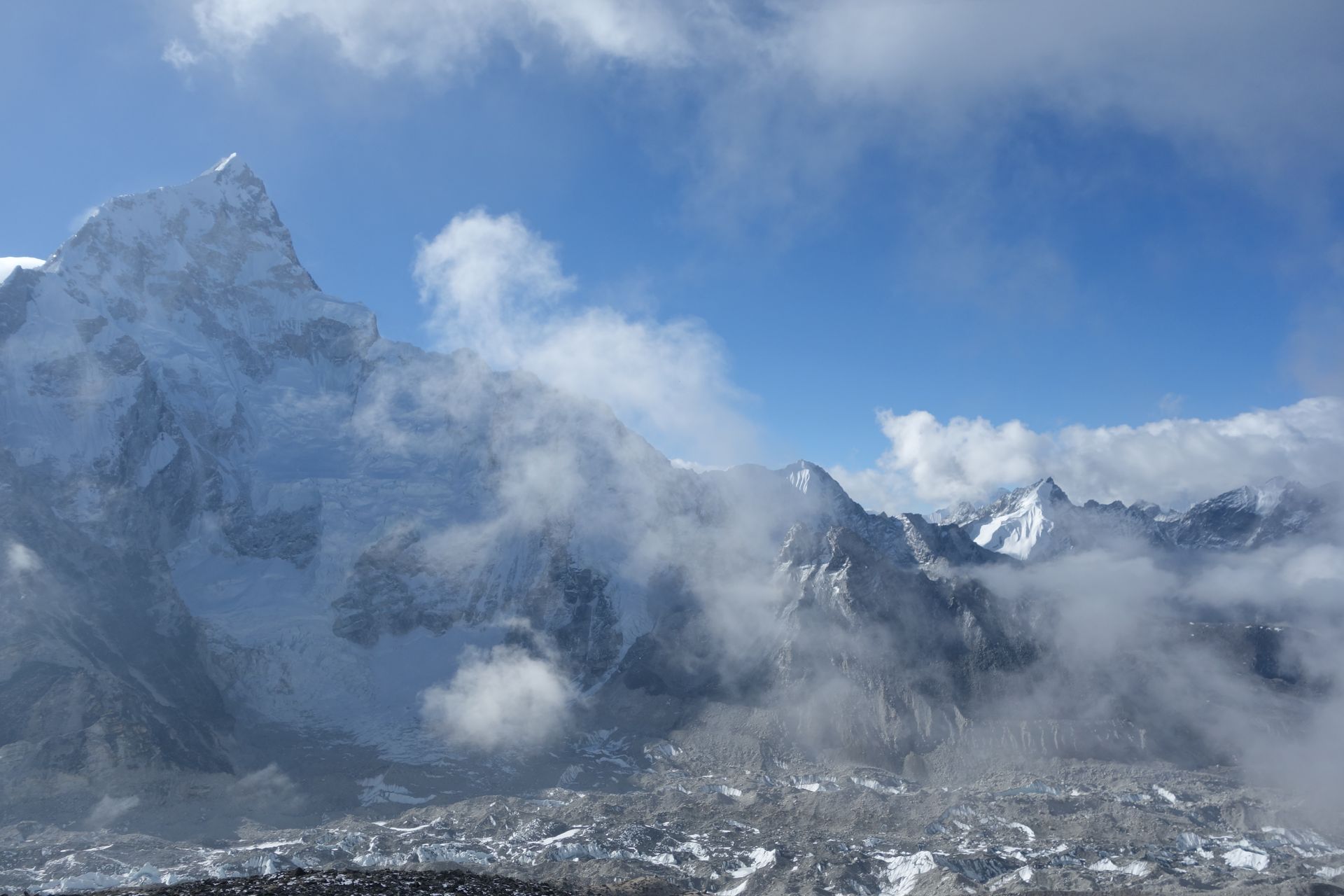
Village
डिङबोचे
4,410 m
Dingboche is a broad summer settlement in the Imja valley, its potato fields enclosed by stone walls. It is the second main acclimatisation stop on the Everest Base Camp trek.
Read place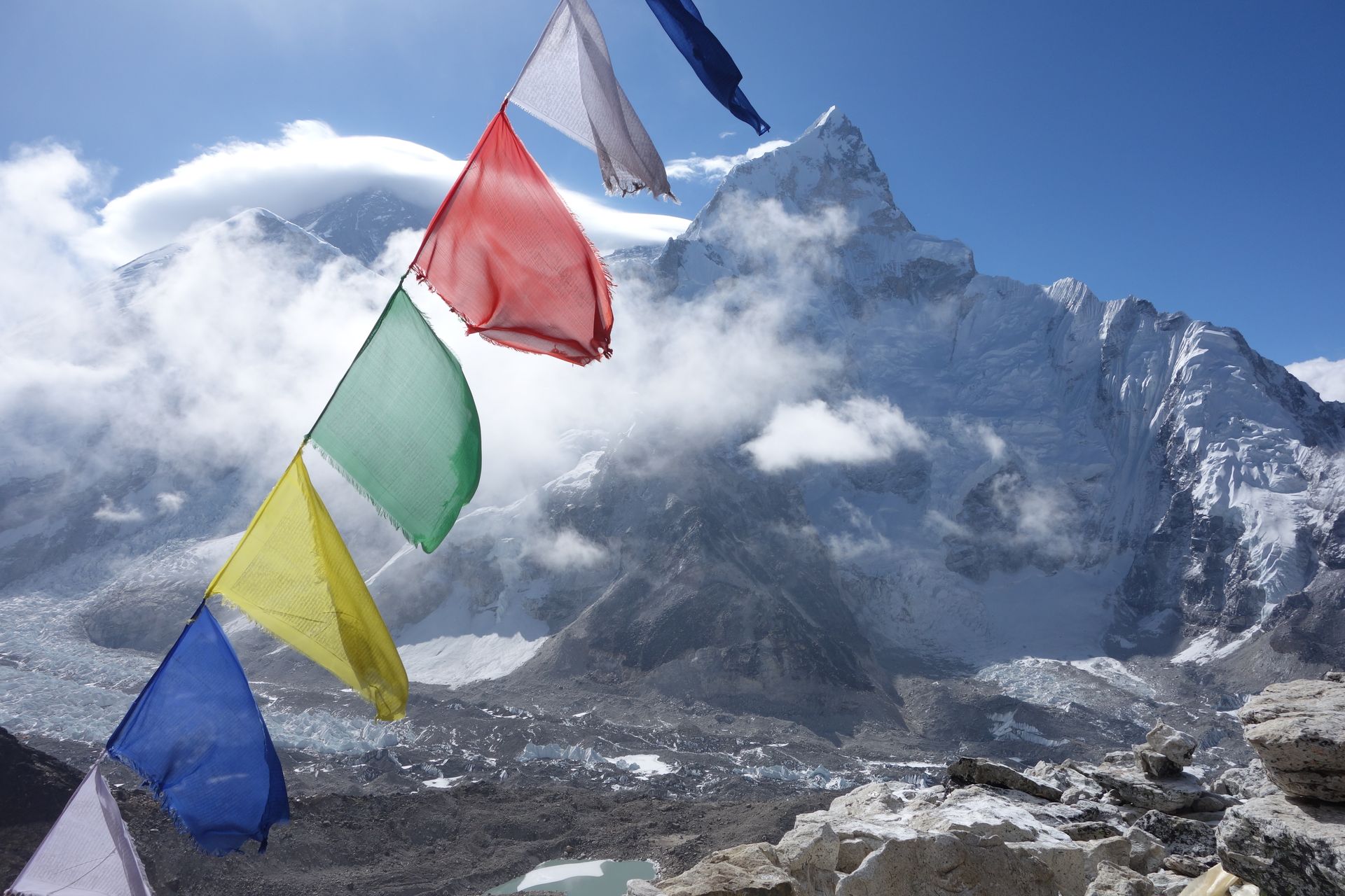
Village
डोले
4,040 m
Dole is a small settlement in the Dudh Koshi valley on the trail to Gokyo, reached after a climb through rhododendron and juniper from Phortse Thanga. It is a common overnight stop on the Gokyo Lakes trek, with views of Khumbila, Cho Oyu and Thamserku.
Read place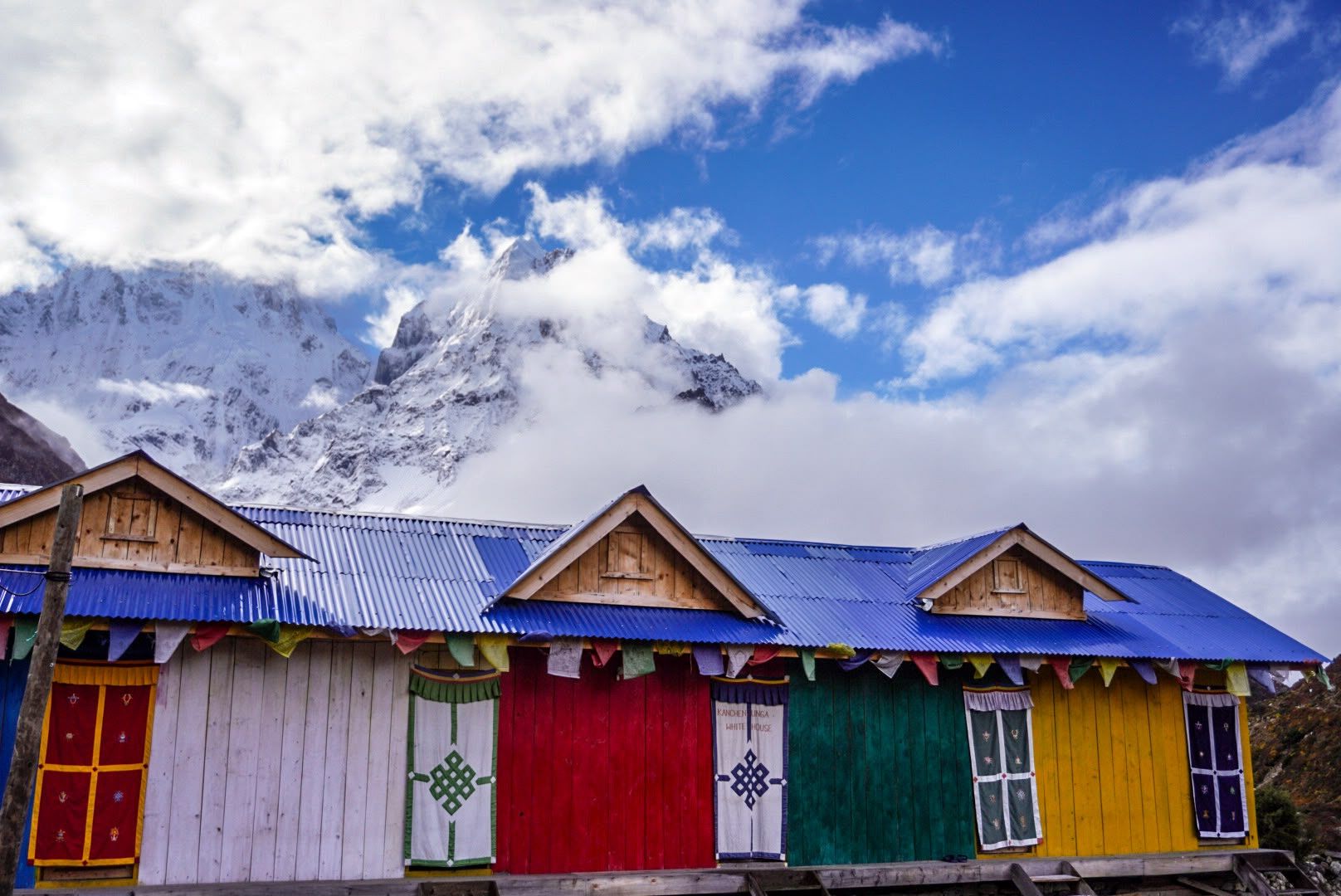
Mountain peak
Dormo Peak is a peak in the Kanchenjunga region of Taplejung, part of the high skyline seen from the circuit route.
Read place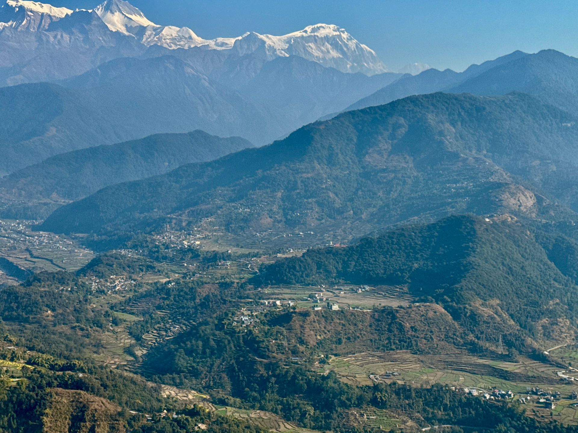
Village
दोभान
2,505 m
Dovan is a small lodge stop in the forested Modi Khola gorge on the Annapurna Base Camp trek. It lies between Bamboo and Himalaya. The trail here passes through bamboo and rhododendron forest.
Read place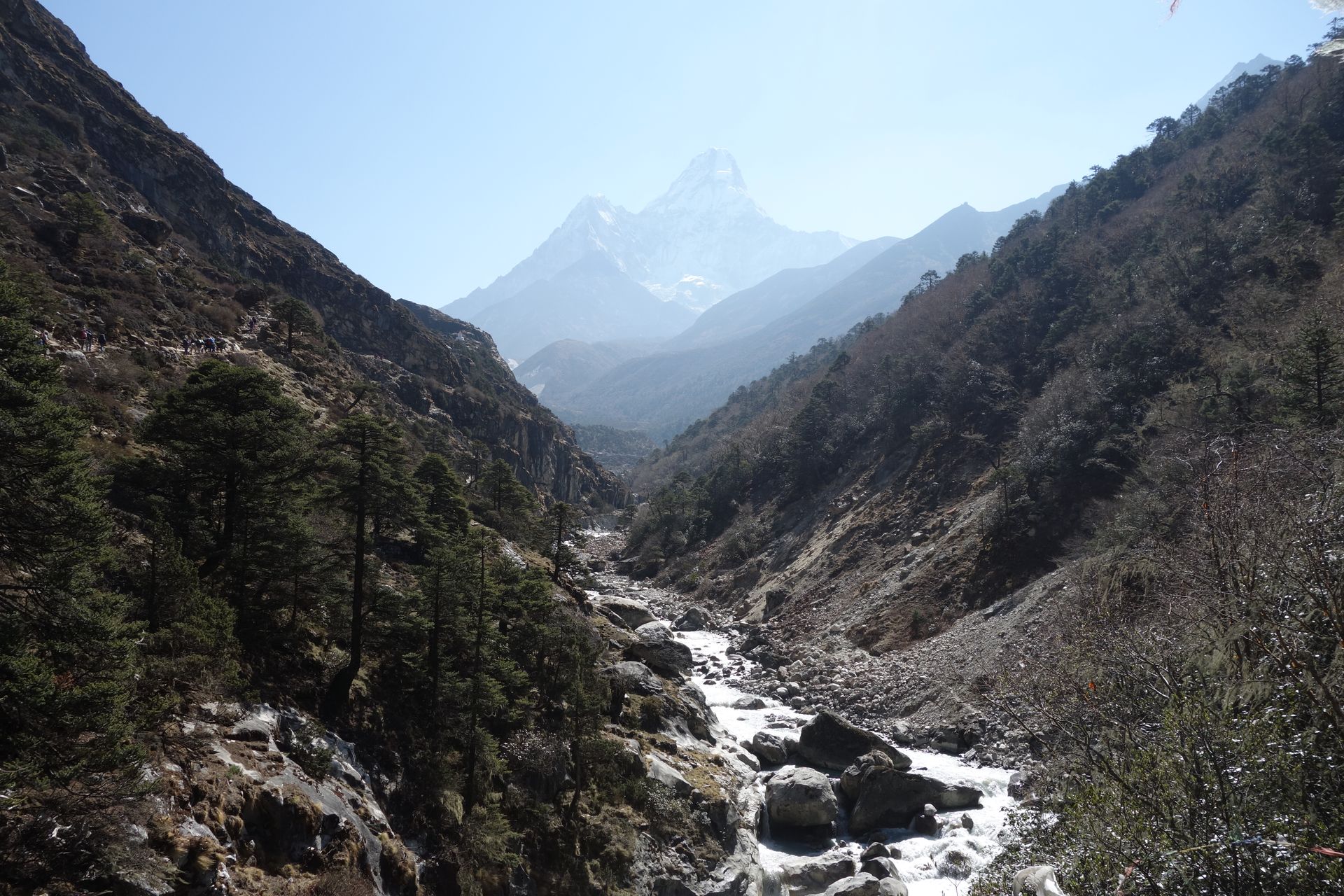
River
दूधकोशी
1,200 m
The Dudh Koshi, or “milk river”, drains the Everest Region, flowing from the Gokyo Lakes and Ngozumpa Glacier south past Namche and Lukla to join the Sun Koshi. Its milky glacial water gives it its name.
Read place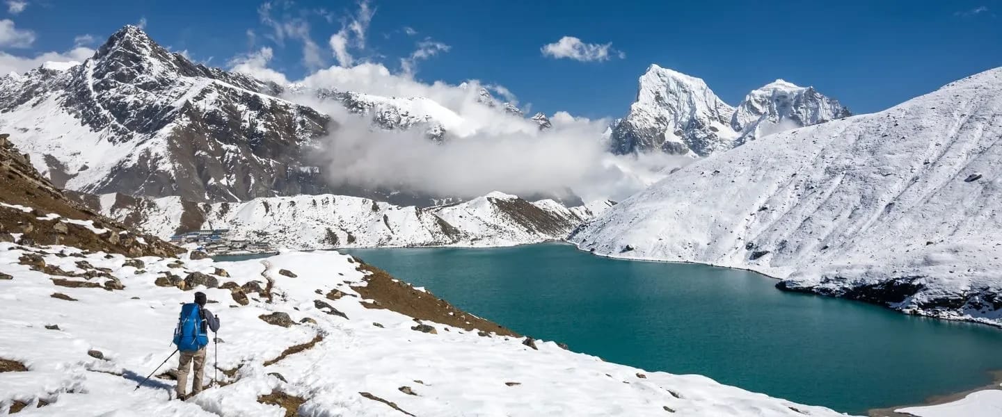
Lake
दूधकुण्ड
4,560 m
Dudh Kunda, the “milk lake”, is a sacred glacial lake beneath Numbur Himal in the Solu region. Hindu and Buddhist pilgrims gather here at the Janai Purnima full moon in August. It is the goal of the Dudh Kunda Trek, a quiet route through Sherpa villages and rhododendron forest south of the Khumbu.
Read place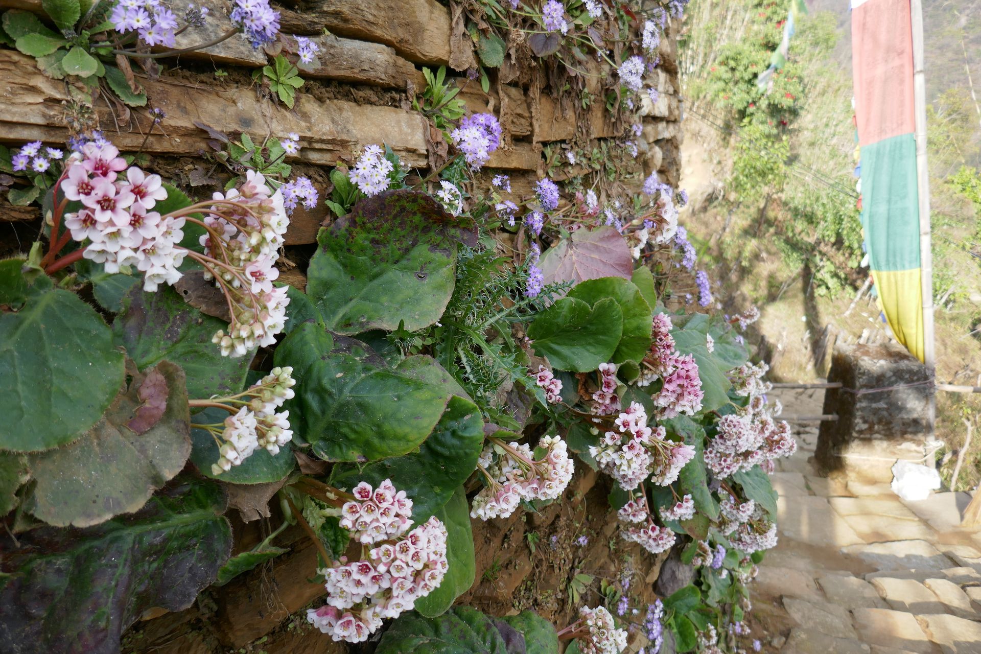
Town / city
दुनै
2,140 m
Dunai is the district headquarters of Dolpa, on the Thuli Bheri river. Trekkers pass through on the way to Shey Phoksundo and Tarap. It has basic lodges and shops.
Read place
Village
जोङ्ला
4,830 m
Dzongla is a tiny settlement of a few lodges below the Cho La, set beneath the north face of Cholatse. Trekkers heading west from Lobuche stay here before crossing the pass to Gokyo. Views across to Ama Dablam and Taboche at sunset are a highlight.
Read place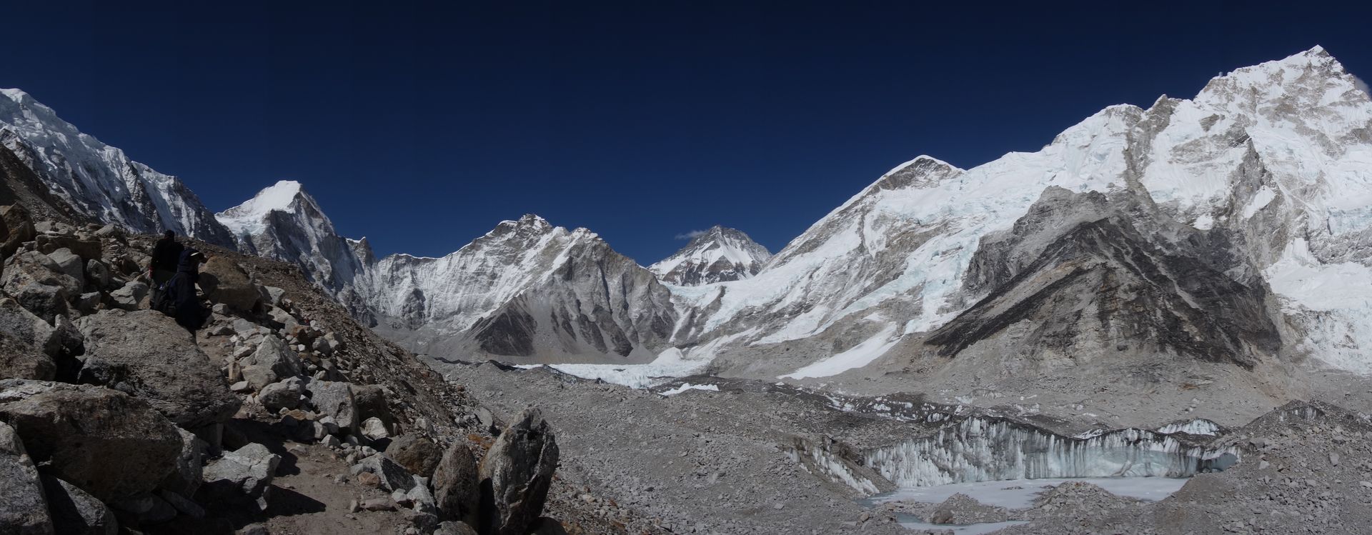
Base camp
सगरमाथा आधार शिविर
5,364 m
Everest Base Camp on the Khumbu Glacier is the goal of Nepal’s most famous trek. In spring it becomes a tent village of climbing expeditions preparing to tackle the Khumbu Icefall on the South Col route.
Read place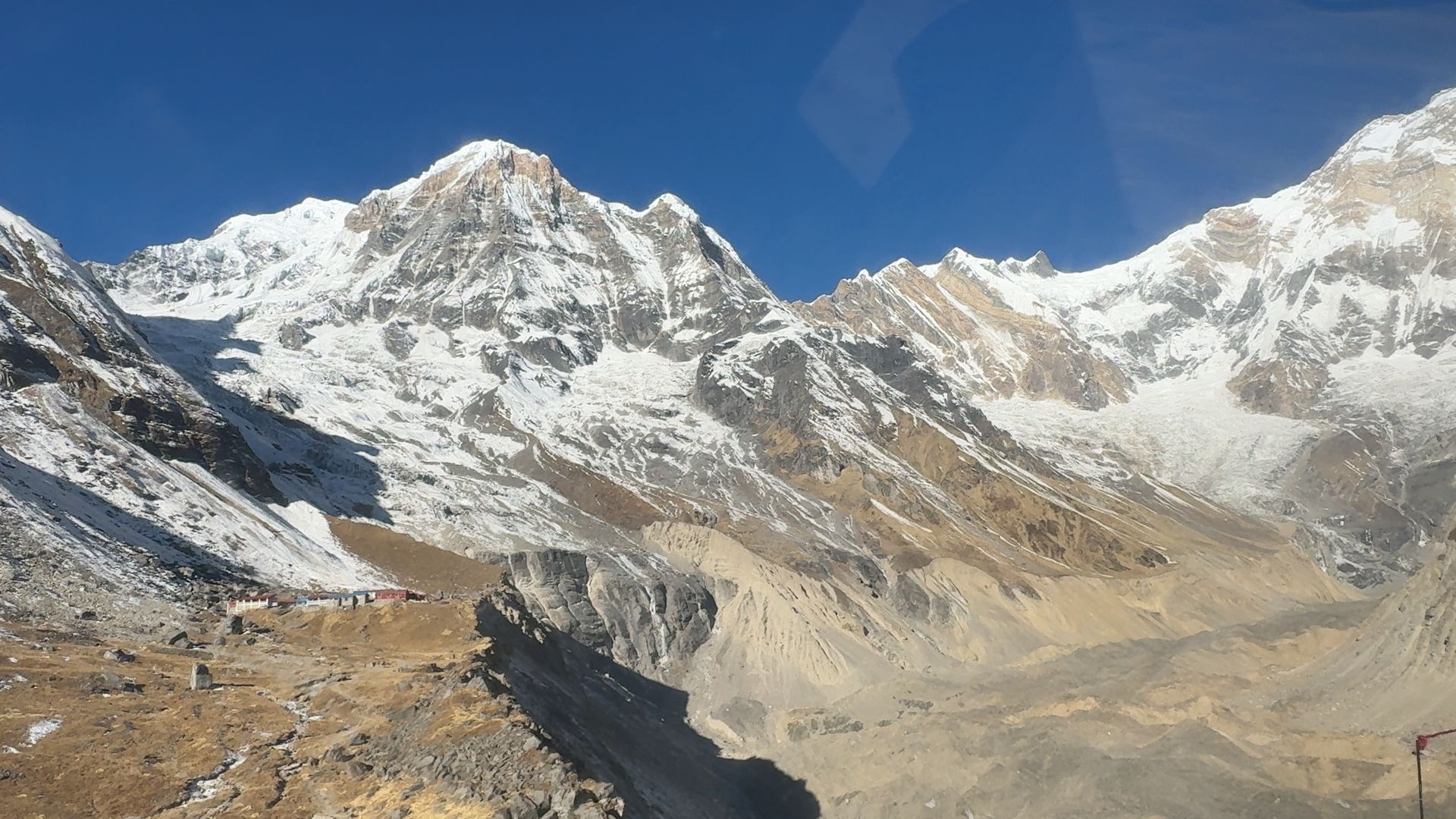
Camping site
फरेस्ट क्याम्प
2,550 m
Forest Camp is a lodge stop in rhododendron and oak forest on the Mardi Himal trail. It is the first overnight above Australian Camp or Pitam Deurali. Its name comes from its forest setting.
Read placeTown / city
गमगढी
2,095 m
Gamgadhi is the district headquarters of Mugu, near Rara Lake and Talcha airport. It is a small town with basic facilities. It is a starting point for Rara treks.
Read place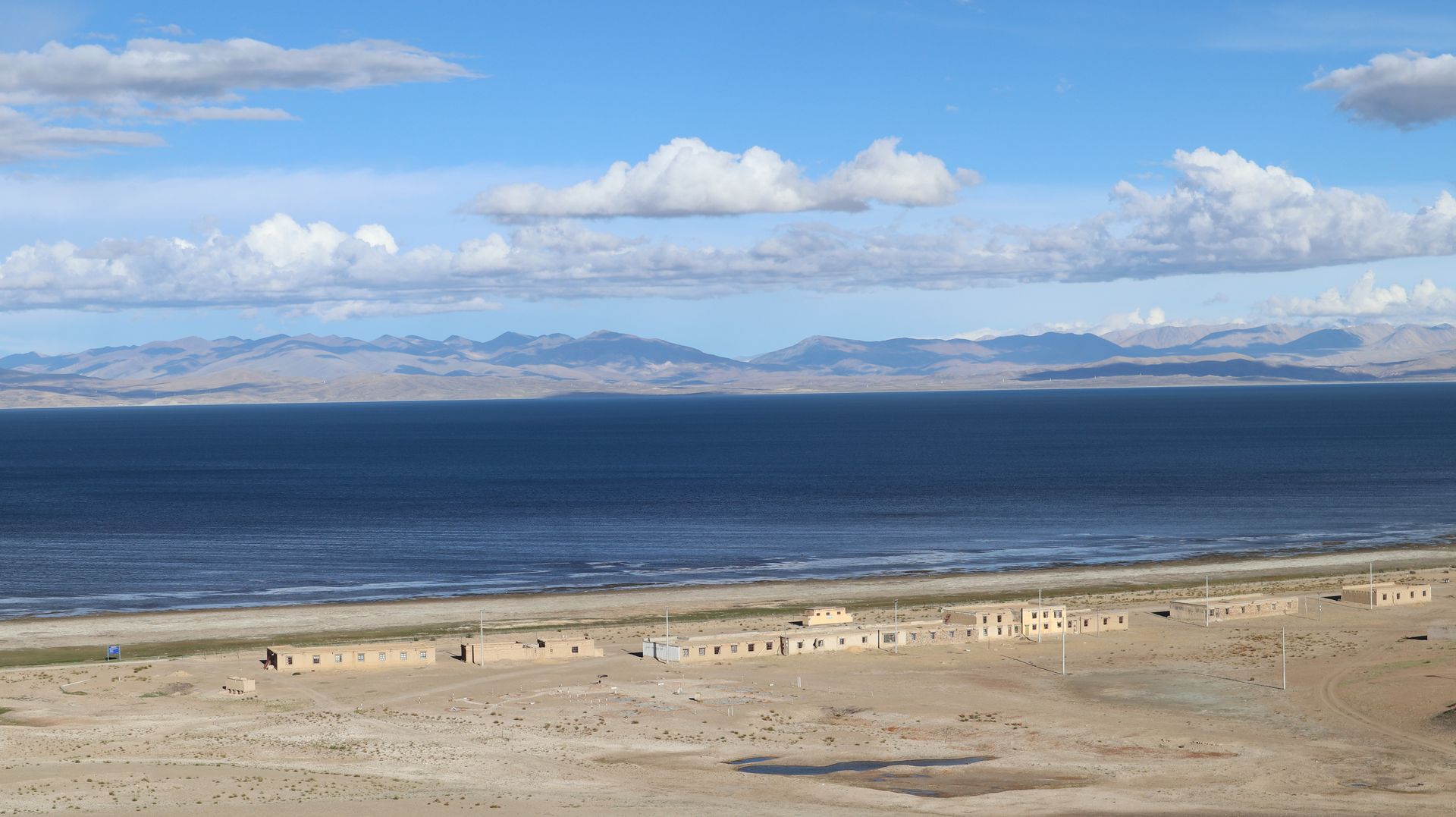
Mountain range
गणेश हिमाल
7,422 m
Ganesh Himal is a mountain range between Manaslu and Langtang, named after the elephant-headed god Ganesh. Its highest summit, Ganesh I or Yangra, is 7,422 m. The Ganesh Himal and Ruby Valley treks explore its quiet southern valleys.
Read place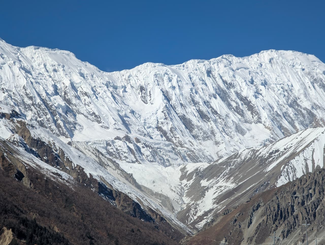
Mountain peak
गंगापूर्ण
7,455 m
Gangapurna is a 7,455 m peak directly above Manang, its glacier feeding Gangapurna Lake. It is one of the main sights of the Manang valley. It is seen from Manang and Braga.
Read place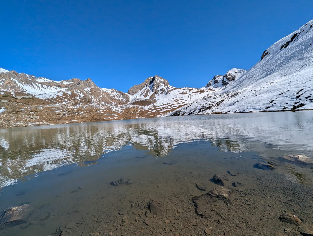
Lake
गंगापूर्ण ताल
3,540 m
Gangapurna Lake is a glacial lake fed by the Gangapurna Glacier right beside Manang village. A short walk to the viewpoint above it is a popular acclimatisation outing. The icefalls of Gangapurna hang directly above.
Read place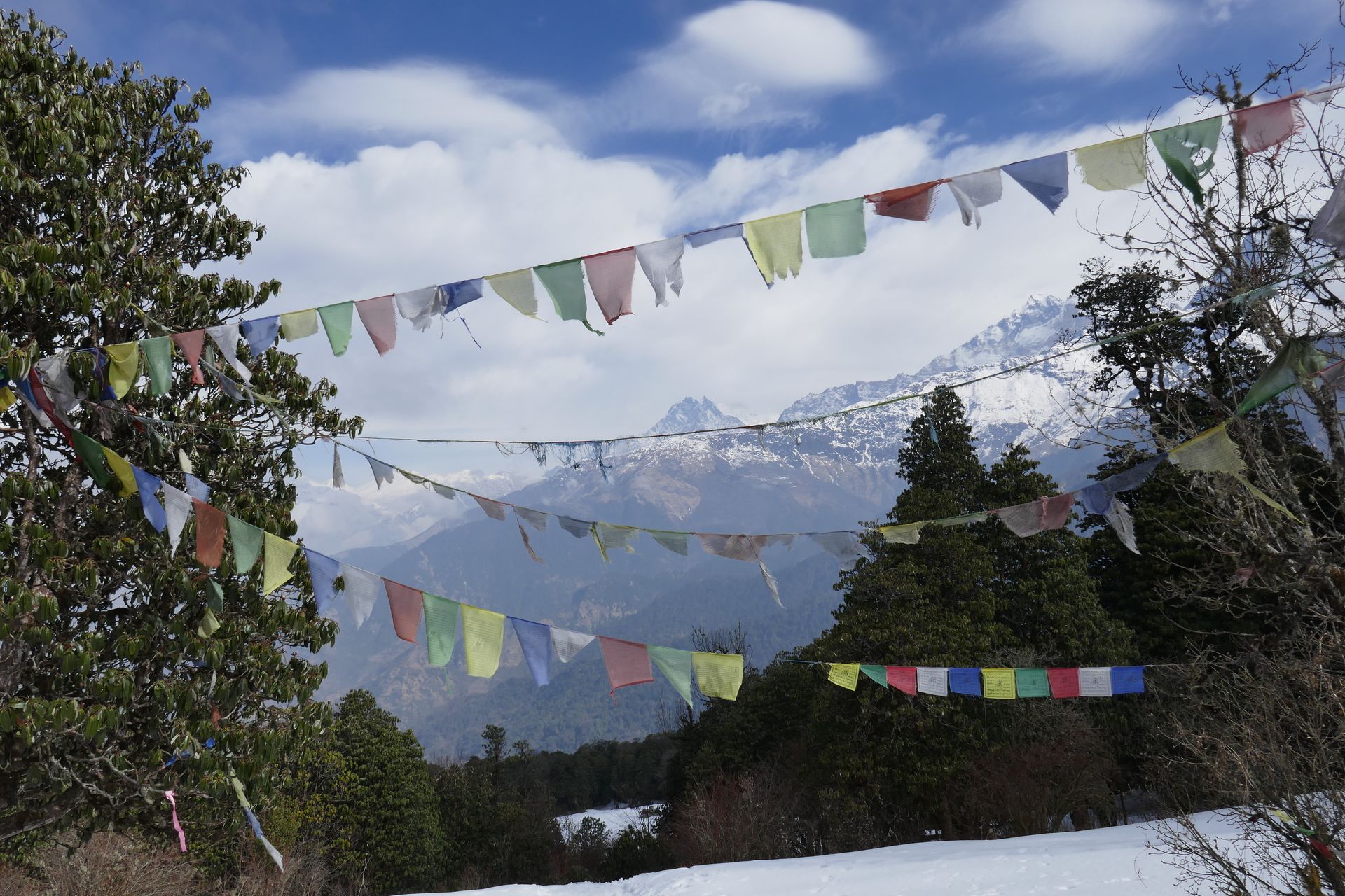
Pass
गन्जा ला
5,130 m
Ganja La is a high, demanding pass between Kyanjin Gompa in Langtang and the Helambu region. The route is remote, with no lodges for several days. It is crossed on the Ganja La Pass trek with a full camping crew.
Read place

