Village
गत्लाङ
2,240 m
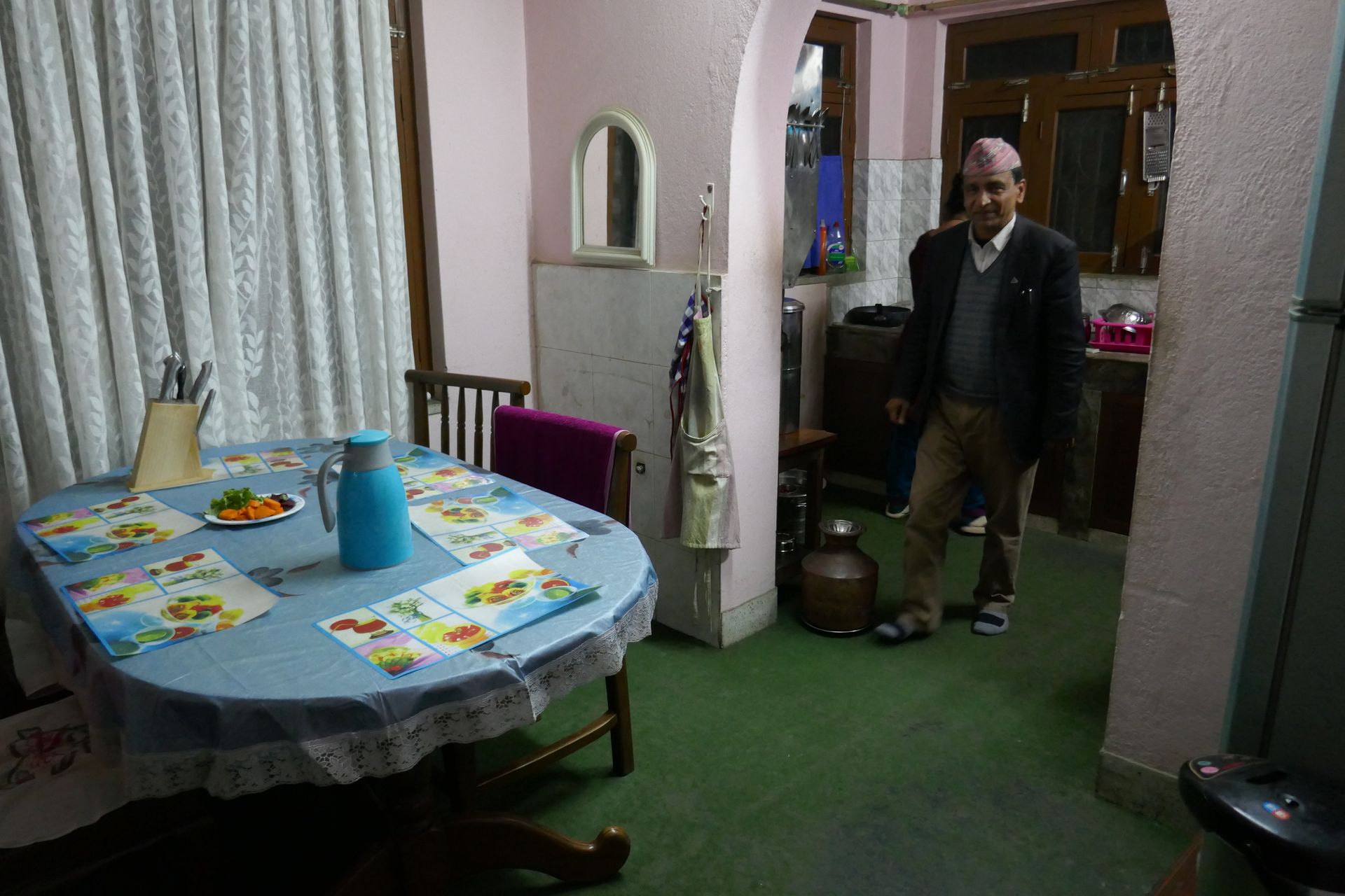
Gatlang is a traditional Tamang village of wooden houses on the Tamang Heritage Trail. It is known for its culture, homestays and the nearby Parvati Kunda lake. Visitors can see weaving, local dances and village life.
Read place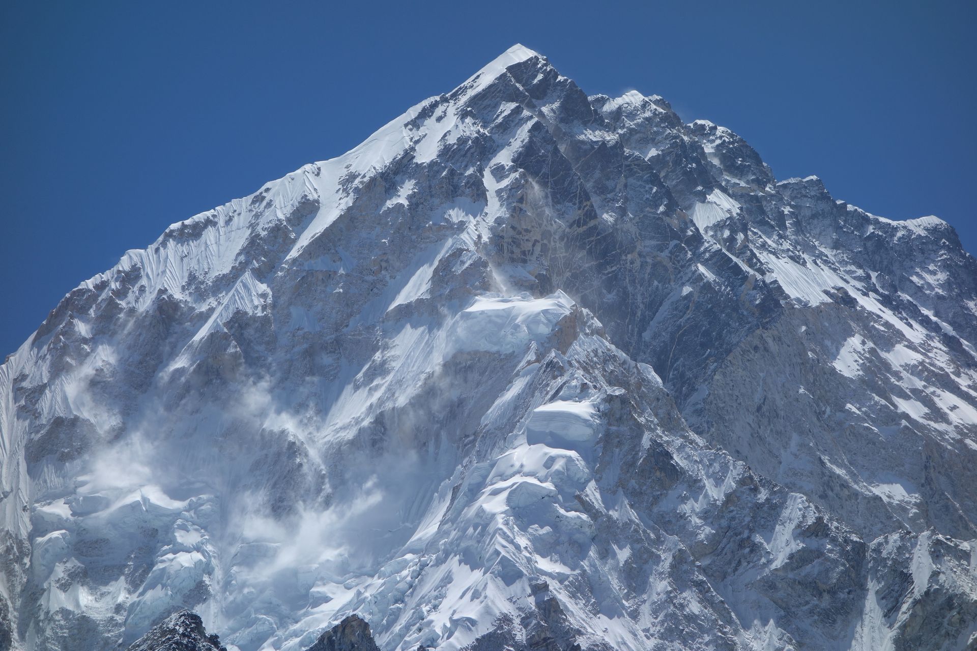
Mountain peak
गौरीशंकर
7,134 m
Gaurishankar is a 7,134 m twin-summited peak sacred to Hindus, its two tops seen as Shiva and his consort Gauri. For a time it was mistakenly thought to be Everest. It dominates the lower Rolwaling valley and is visible from as far as Kathmandu on clear days.
Read place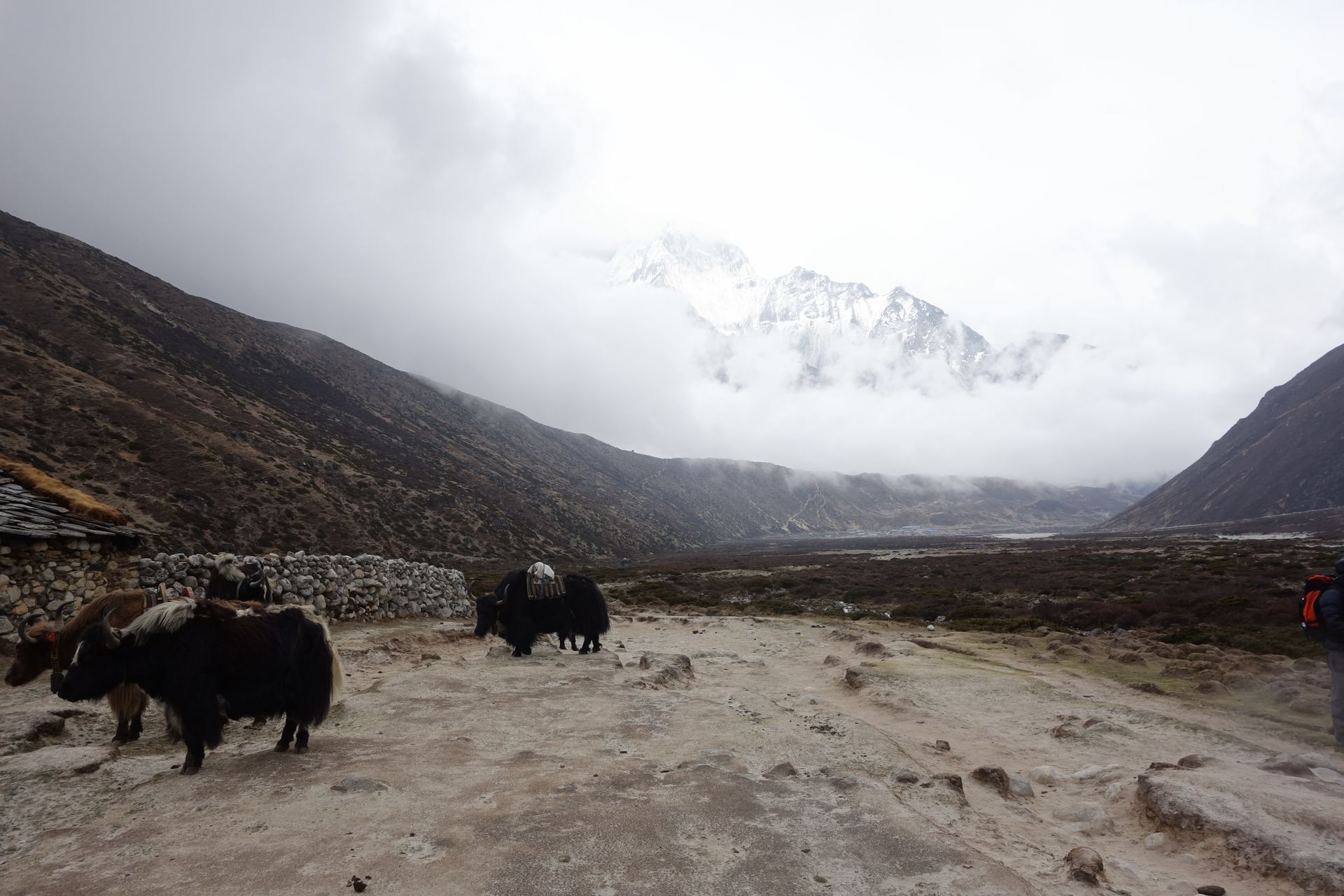
Conservation area
गौरीशंकर संरक्षण क्षेत्र
1,000 m
Gaurishankar Conservation Area, established in 2010, protects the Rolwaling and Tamakoshi valleys between Langtang and Sagarmatha National Parks. It covers around 2,179 km² of forest, glacier and high valleys. Trekkers need a conservation area permit for the Rolwaling and Tashi Lapcha routes.
Read place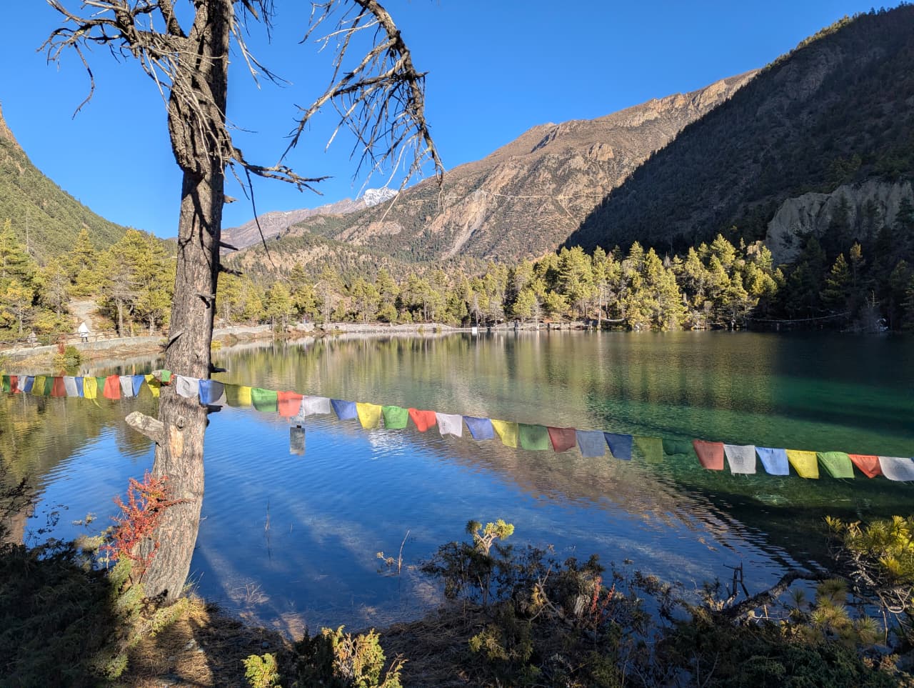
Village
घलेगाउँ
2,100 m
Ghalegaun is a Gurung village in Lamjung known as a model community homestay village. It offers Gurung culture and views of Lamjung Himal, Annapurna II and Machhapuchhre. It features on the Lamjung Himal trek and makes a good short cultural trip.
Read place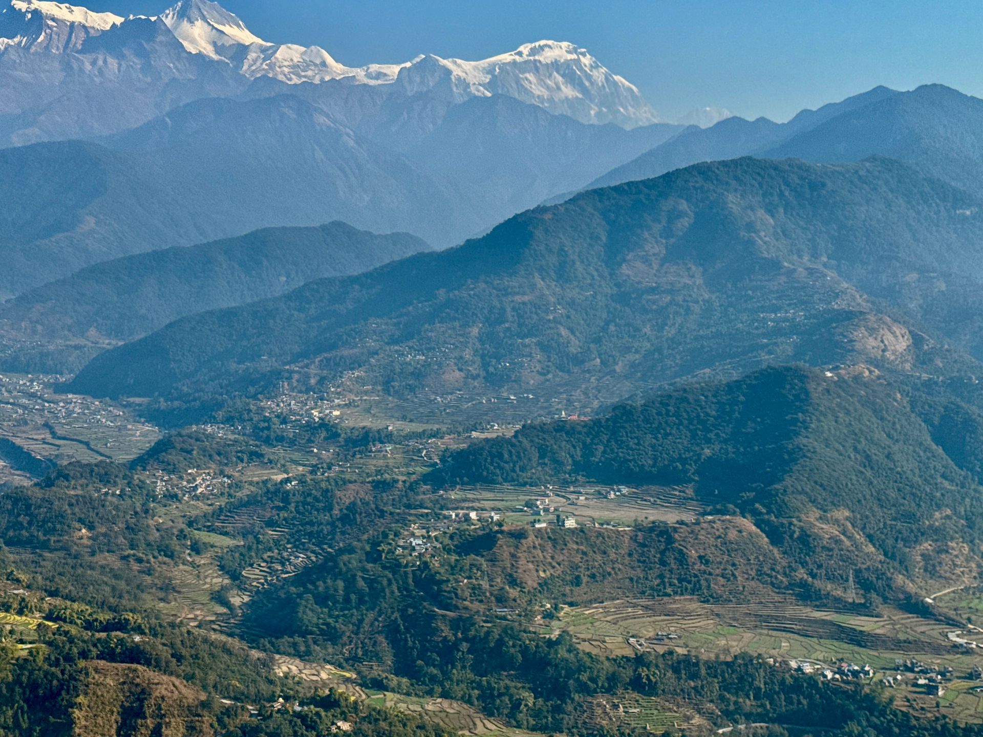
Village
घमी
3,520 m
Ghami is a village of whitewashed houses in Upper Mustang, near the longest mani wall in Nepal. Legend says it was built from the entrails of a demon slain by Guru Rinpoche. The red cliffs of Dhakmar are nearby.
Read place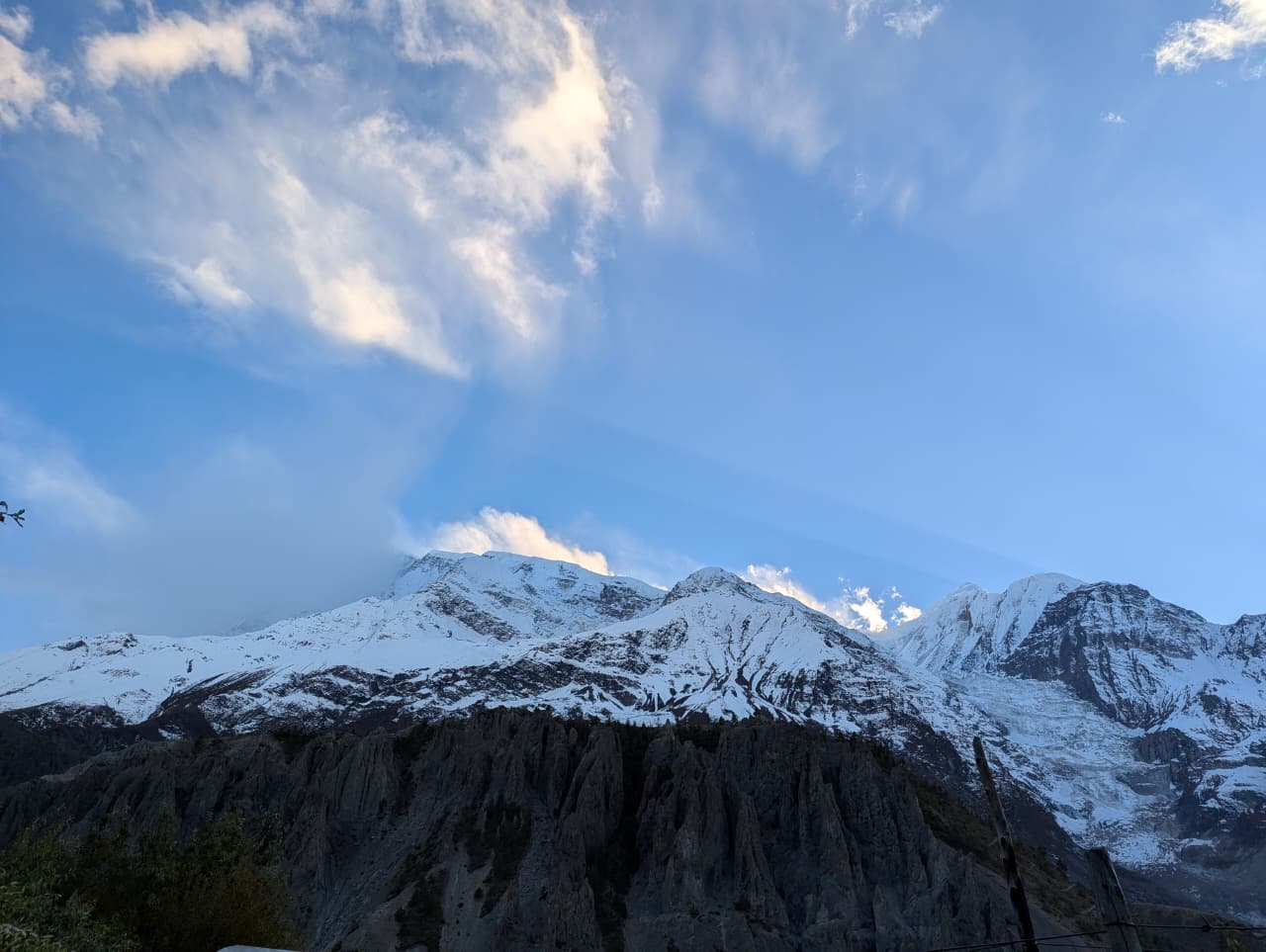
Village
घान्द्रुक
1,940 m
Ghandruk is one of the largest Gurung villages in Nepal, with stone-roofed houses terraced into the hillside facing Annapurna South and Machhapuchhre. It has a small Gurung museum and the ACAP office. It is a highlight of the Poon Hill and Annapurna Base Camp treks and is now also reachable by jeep.
Read place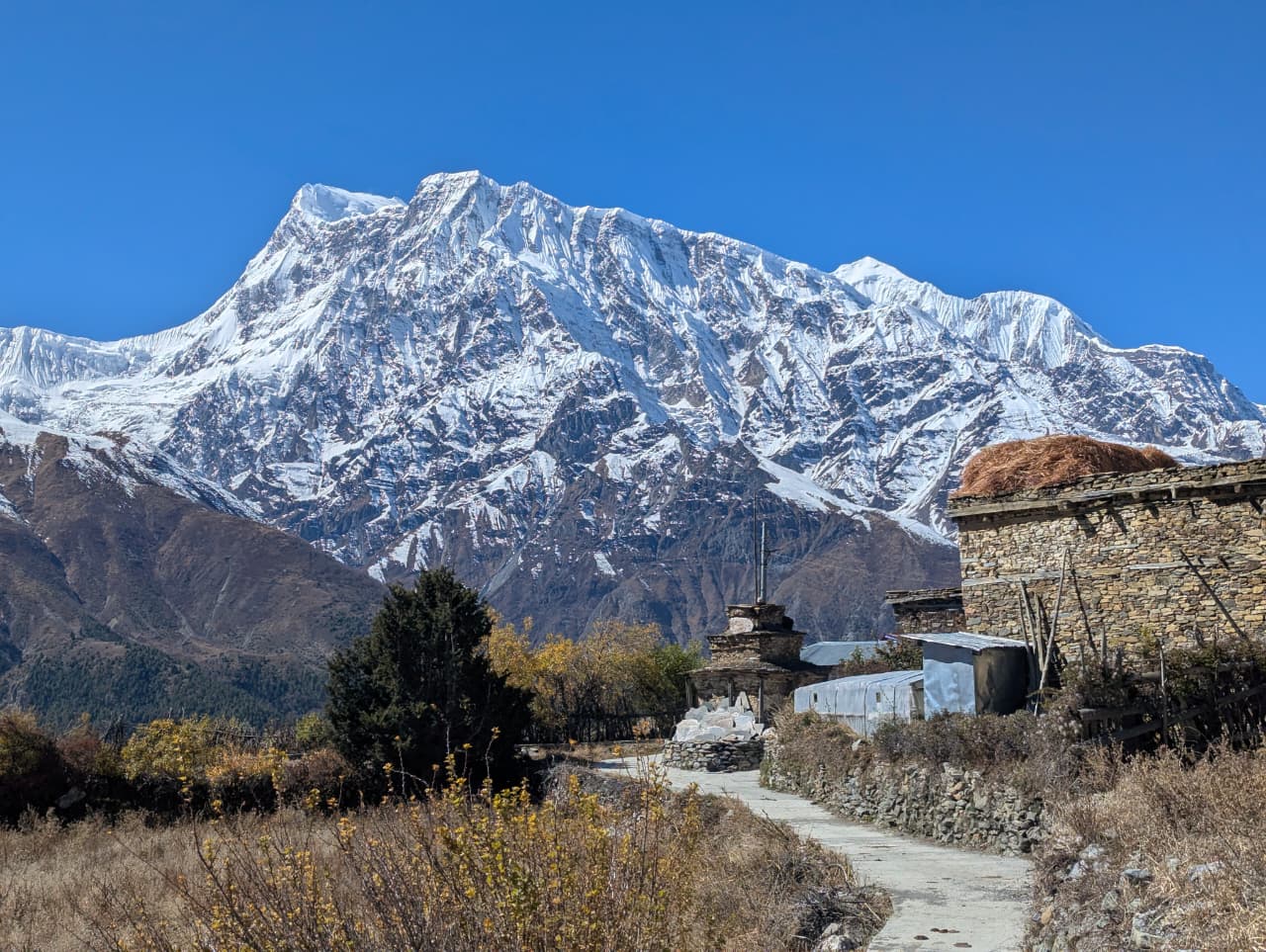
Checkpoint
घासा
2,010 m
Ghasa is the southernmost Thakali village in Mustang, with an ACAP checkpoint on the Annapurna Circuit. Here the landscape changes from subtropical to alpine. It is a good place to watch bird migration in autumn.
Read place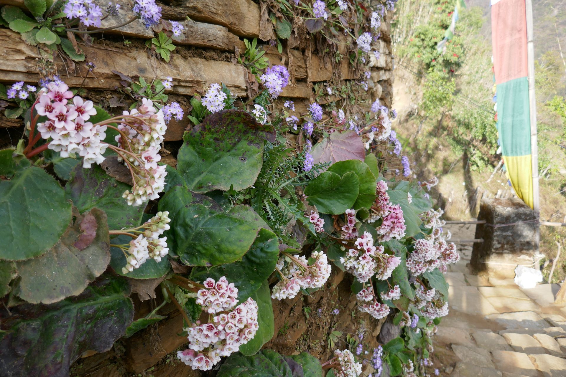
Checkpoint
घोडा तबेला
3,030 m
Ghoda Tabela, meaning “horse stable”, is a checkpoint and lodge stop in the Langtang valley where park permits are checked. It sits at the point where the forest gives way to open valley. It is a lunch stop between Lama Hotel and Langtang Village.
Read place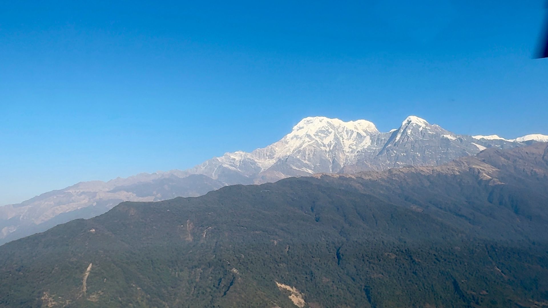
Village
घोरेपानी
2,870 m
Ghorepani, meaning “horse water”, was once a stop for mule caravans and is now the busy base for climbing Poon Hill. It sits on a forested pass among some of the largest rhododendron forests in Nepal. In spring, the hills around it turn red and pink with flowering rhododendron.
Read place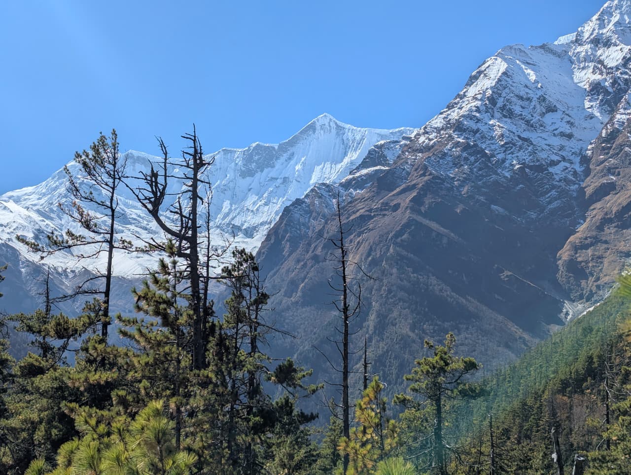
Forest
घोरेपानी गुराँस वन
2,800 m
The rhododendron forest around Ghorepani is one of the largest in Nepal, turning red and pink with blossom in spring. Rhododendron (lali gurans) is Nepal’s national flower. The Poon Hill trek passes through it between Ulleri, Ghorepani and Tadapani.
Read place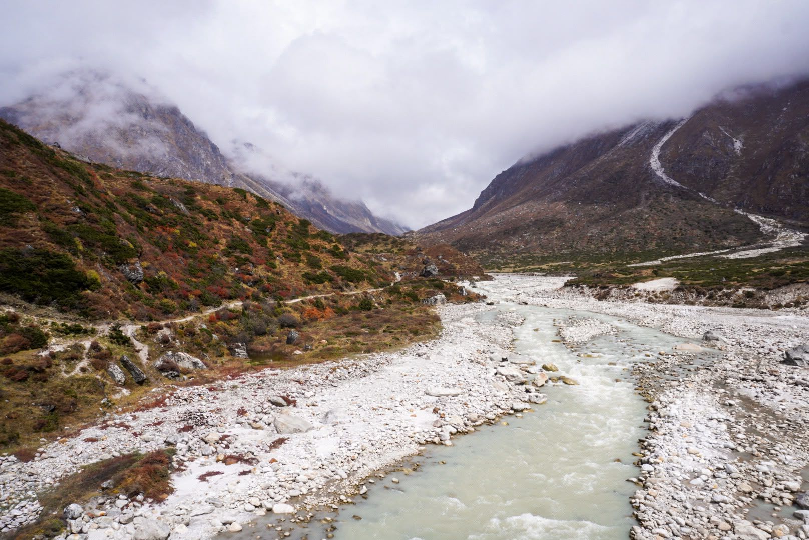
River
1,600 m
The Ghunsa River flows from the glaciers on the north side of Kanchenjunga past Lhonak, Kambachen and Ghunsa, joining the Tamor below Gyabla. Its water is milky with glacial silt.
Read place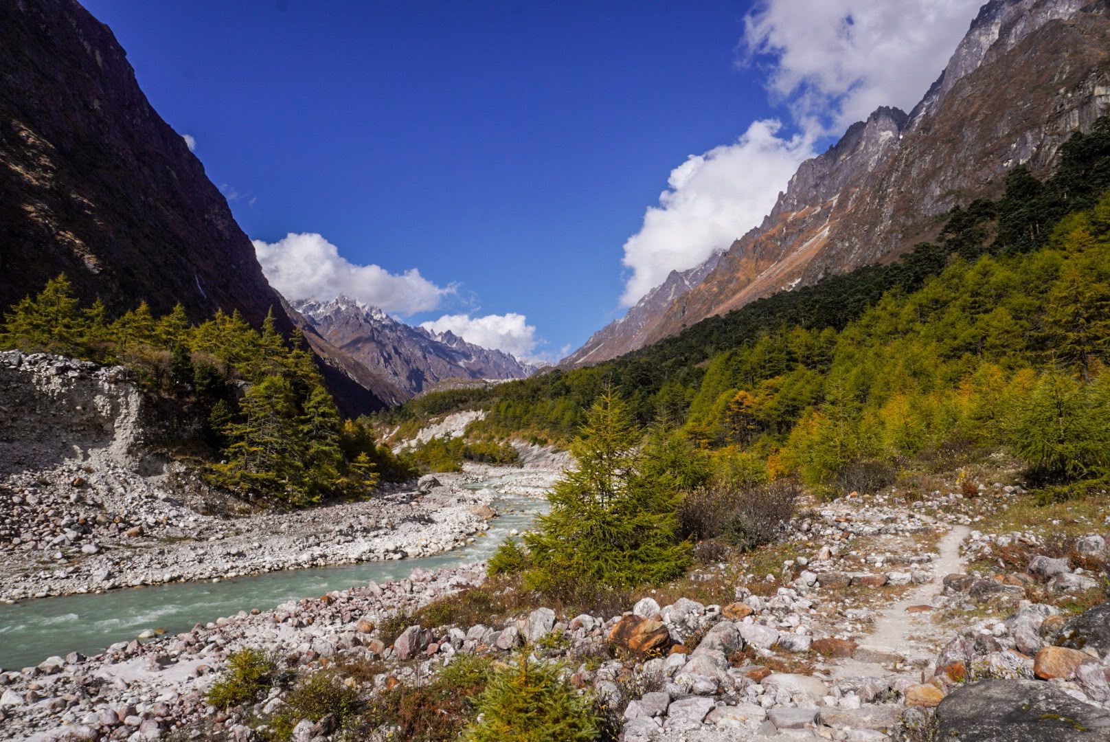
Valley
3,000 m
The Ghunsa Valley is a high glacial valley in northern Taplejung, home to the Sherpa village of Ghunsa and its pine and rhododendron forests. It leads north towards Kambachen and Kanchenjunga North Base Camp.
Read place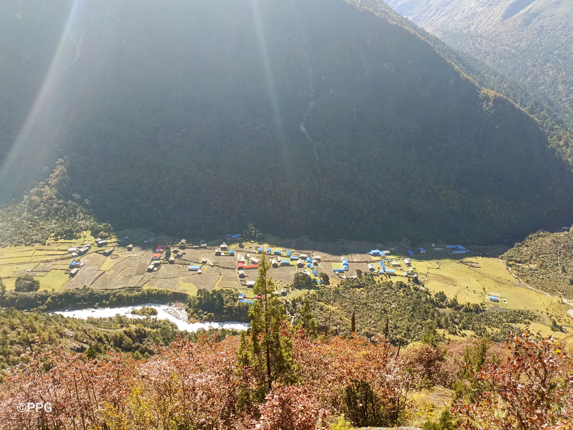
Viewpoint
3,900 m
Ghunsa View Point is a scenic high-altitude viewpoint above Ghunsa, offering views of Phale and the surrounding Kanchenjunga mountains during an acclimatization hike.
Read place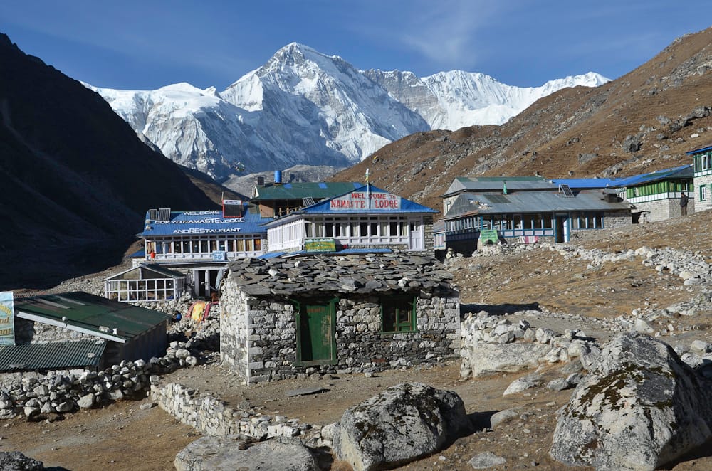
Village
गोक्यो
4,790 m
Gokyo is a lakeside village on the shore of Dudh Pokhari, the third Gokyo lake, beside the Ngozumpa Glacier. It is the main base for climbing Gokyo Ri and exploring the upper lakes. Gokyo is the hub of the western Khumbu, linked to Everest Base Camp by the Cho La and to Thame by the Renjo La.
Read place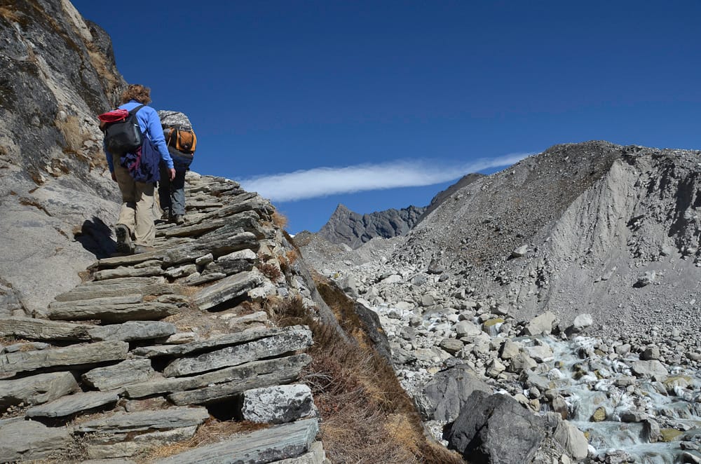
Lake
गोक्यो ताल
4,700 m
The Gokyo Lakes are a chain of six turquoise glacial lakes in the upper Dudh Koshi valley, among the highest freshwater lake systems in the world. They were designated a Ramsar wetland in 2007 and are sacred to both Hindus and Buddhists.
Read place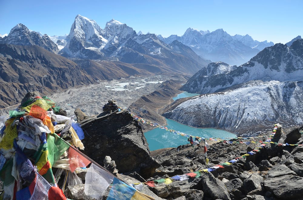
Viewpoint
गोक्यो री
5,357 m
Gokyo Ri is the summit above Gokyo village, reached in a steep two- to three-hour climb. Its panorama takes in four 8,000 m peaks: Everest, Lhotse, Makalu and Cho Oyu. Below, the Gokyo lakes and the vast Ngozumpa Glacier make it one of the finest viewpoints in Nepal.
Read place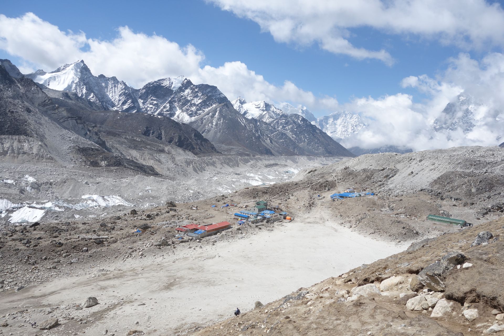
Village
गोरखशेप
5,164 m
Gorak Shep is a frozen lakebed with a handful of lodges and the final overnight stop on the Everest Base Camp trek. From here trekkers walk to Base Camp and climb Kala Patthar. It was the site of the original 1953 Everest expedition’s base camp.
Read place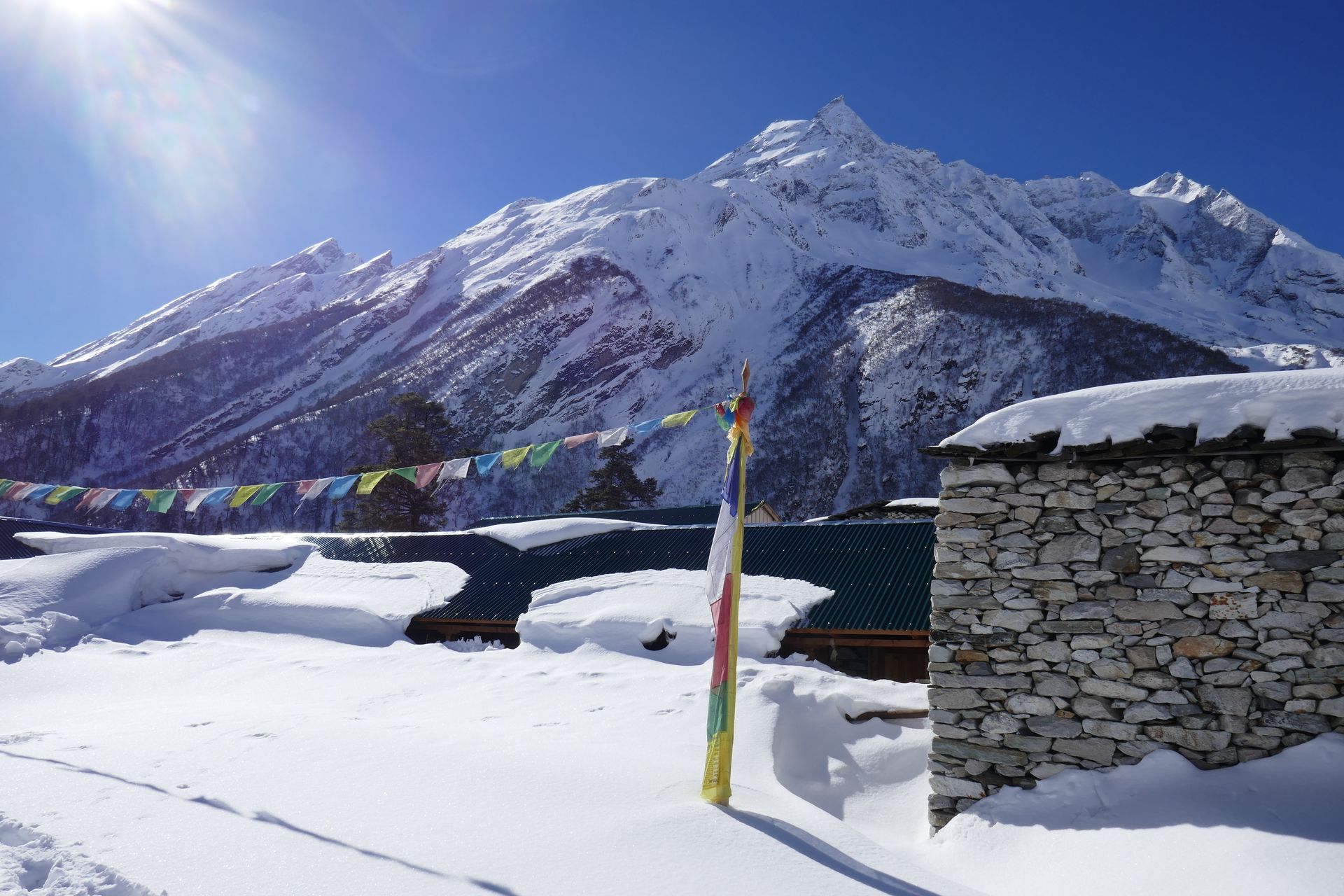
Town / city
गोरखा
1,135 m
Gorkha is a historic hill town, the birthplace of King Prithvi Narayan Shah, who unified Nepal in the 18th century. The Gorkha Durbar palace and temple crown the ridge above town. It is a road gateway to Barpak, Laprak and the Manaslu region.
Read place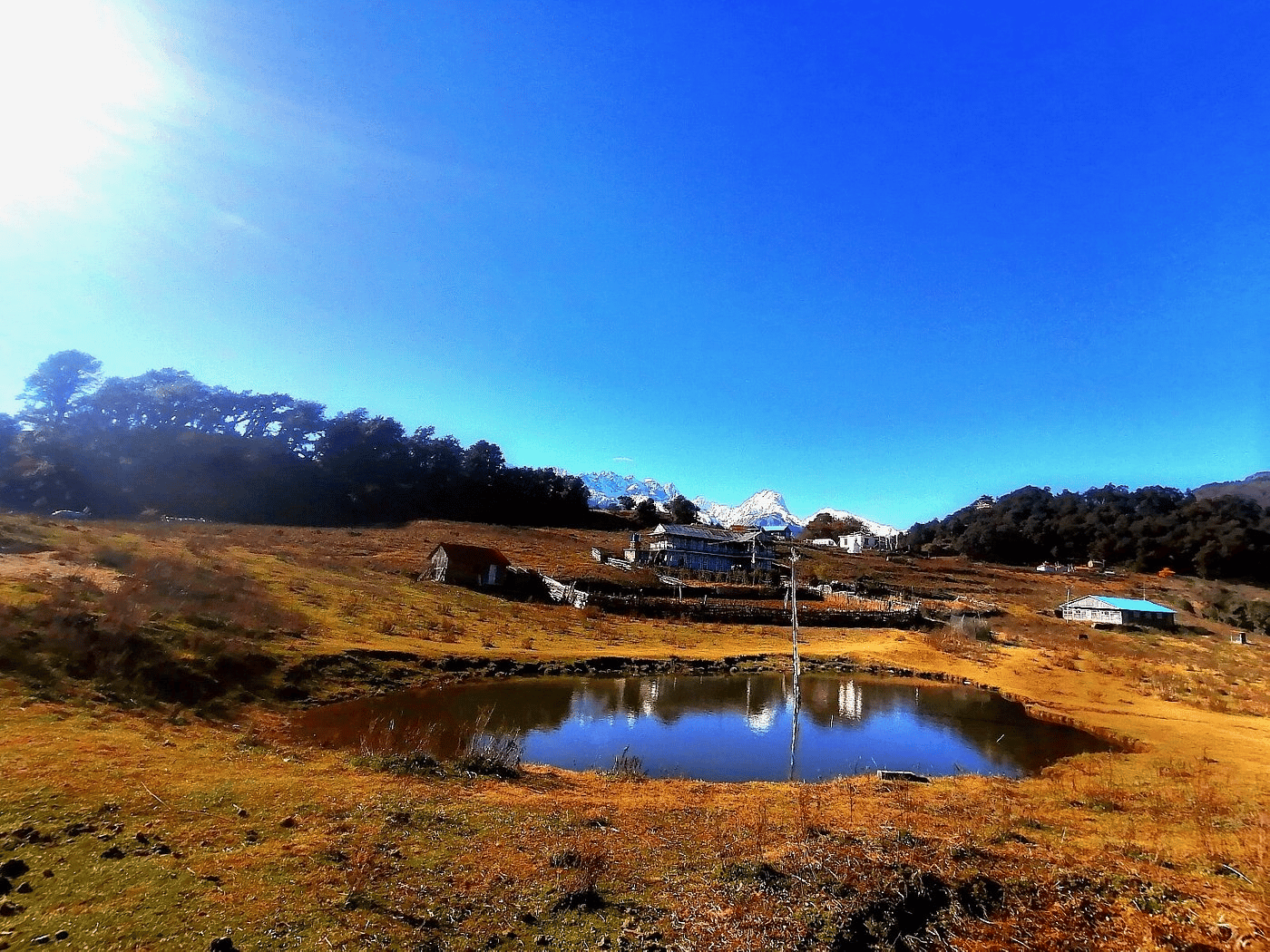
Lake
गोसाइँकुण्ड
4,380 m
Gosaikunda is a sacred alpine lake in Langtang National Park, believed to have been created by Lord Shiva. Thousands of pilgrims visit at the Janai Purnima full moon in August. The lake is part of a Ramsar-listed group of high lakes and is frozen for much of the winter.
Read place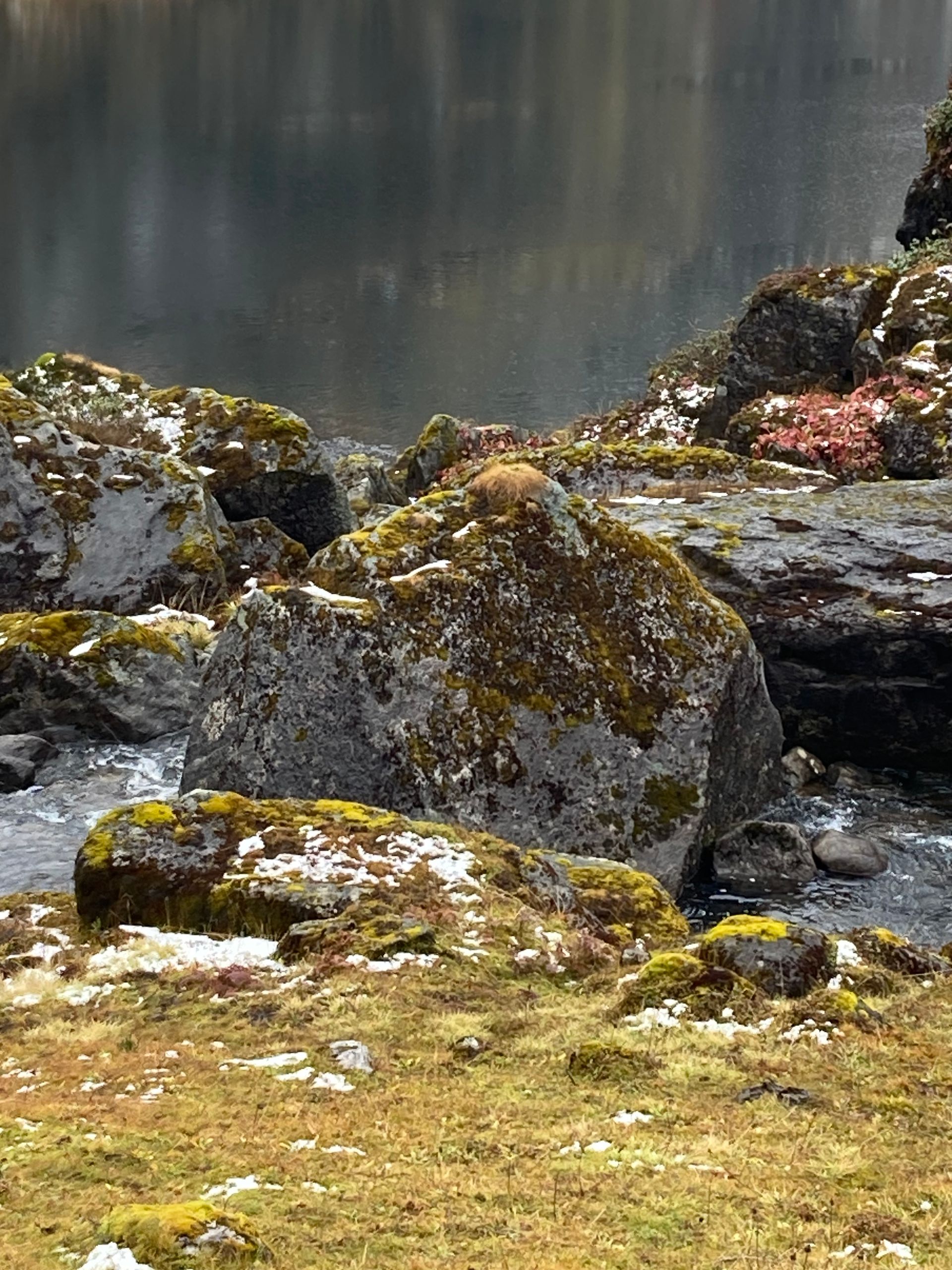
Lake
गुफा पोखरी
2,890 m
Gupha Pokhari is a small sacred lake on the Milke ridge, with a few lodges beside it. It has views of Kanchenjunga, Makalu and Everest. It is a highlight of the Tinjure–Milke–Jaljale trek.
Read place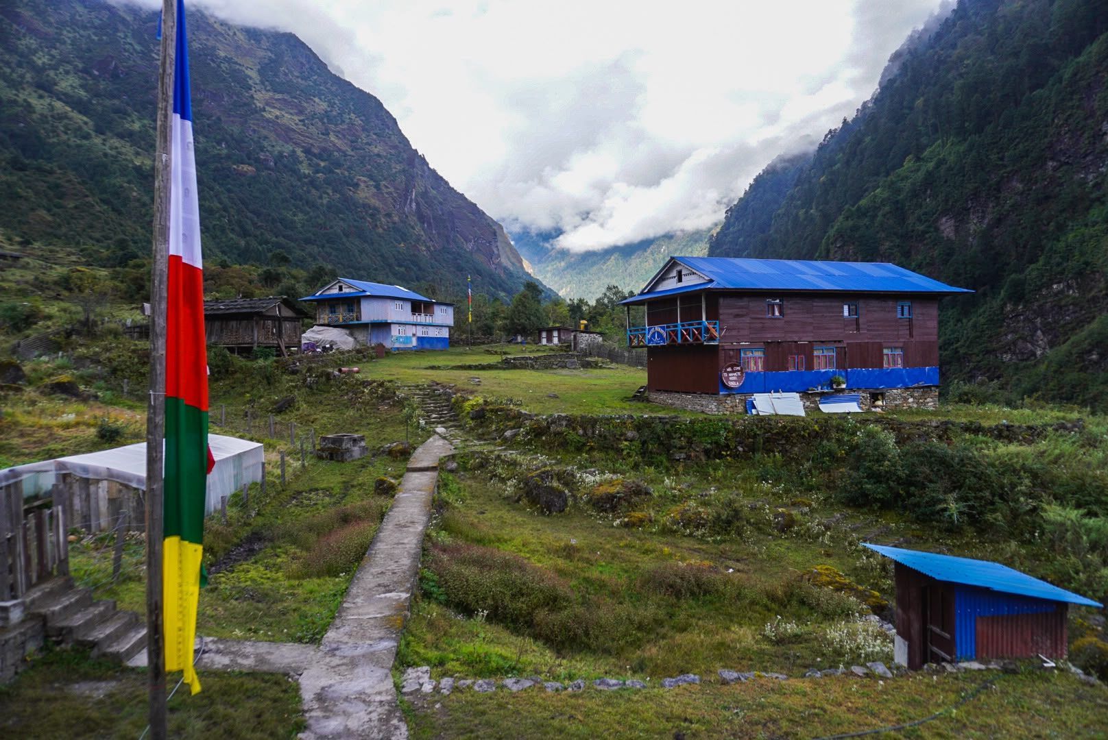
Village
Kyapra
2,730 m
Gyabla, also known as Kyapra, sits at around 2,730m between Amjilosa and Ghunsa on the Kanchenjunga trail. Surrounded by bamboo, rhododendron and pine forests, the village offers a peaceful Himalayan setting and an important overnight stop before reaching Ghunsa.
Read place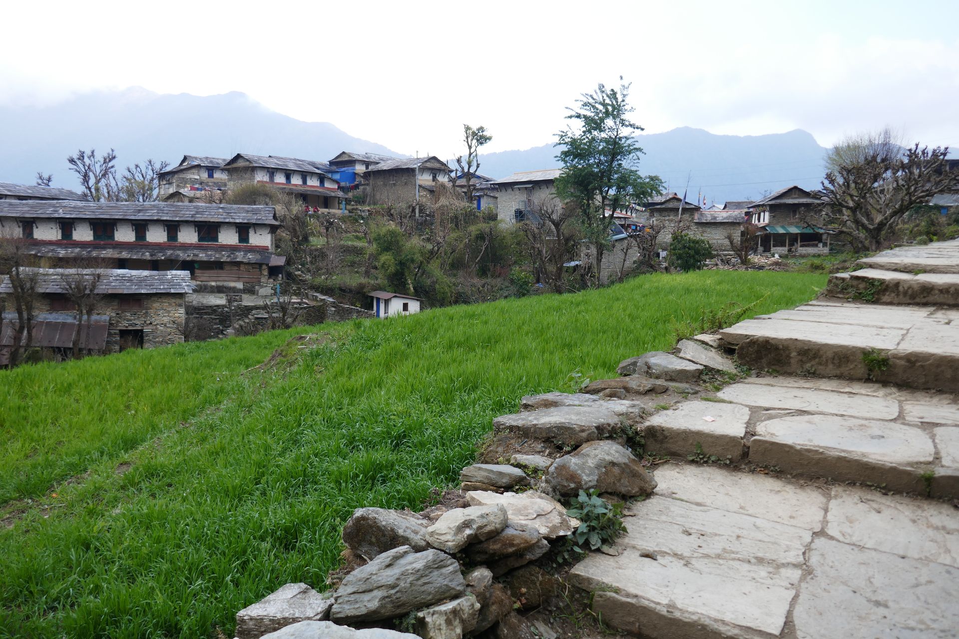
Village
हाल्जी
3,660 m
Halji is a village in the Limi Valley with the Rinchenling Gompa, a monastery said to date from the 11th century. It is one of the most important religious sites in western Nepal. Traditional Tibetan life continues here.
Read place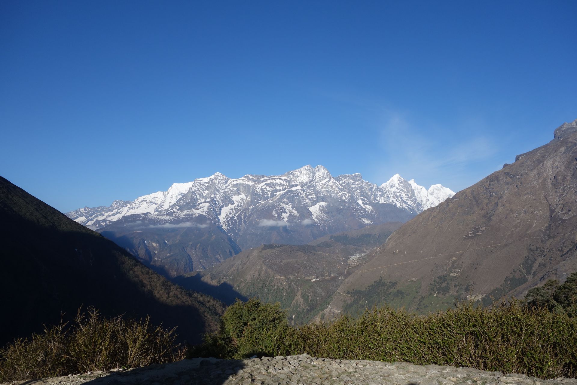
Place
हिलारी झोलुङ्गे पुल
2,860 m
The Hillary Suspension Bridge is a high suspension bridge over the Dudh Koshi below Namche Bazaar, draped in prayer flags. It is one of the most photographed spots on the Everest trail. Crossing it marks the start of the steep climb to Namche.
Read place
Village
हिल्सा
3,720 m
Hilsa is a border village on the Karnali river, where the route to Mount Kailash and Lake Mansarovar crosses into Tibet. It is the end of many Limi Valley treks. Road access from Simikot has made it a key Kailash pilgrimage gateway.
Read place

