

Checkpoint
Ghasa
घासा
Ghasa is the southernmost Thakali village in Mustang, with an ACAP checkpoint on the Annapurna Circuit. Here the landscape changes from subtropical to alpine. It is a good place to watch bird migration in autumn.
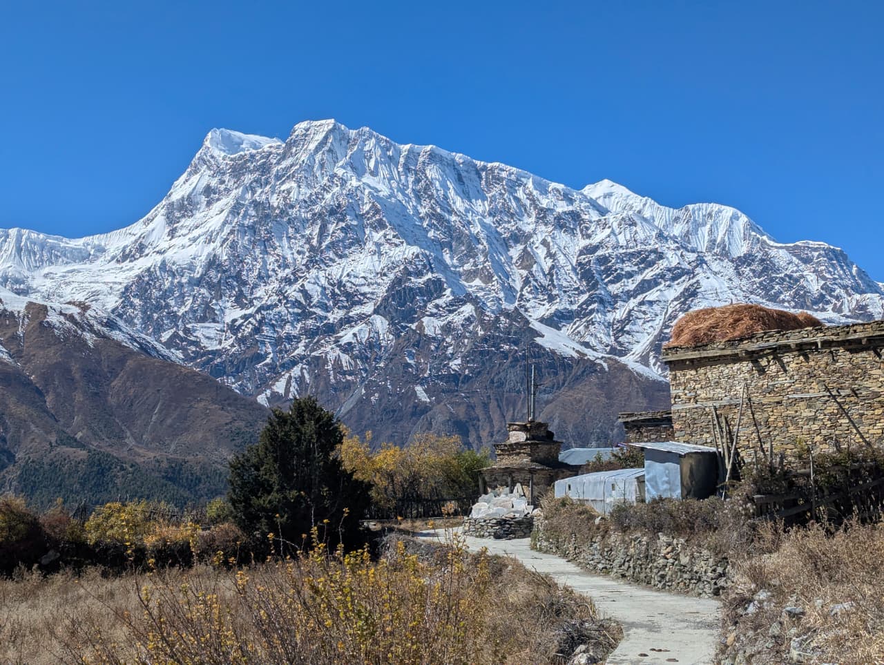
- Elevation: ~2,010 m / 6,594 ft
- Type: Checkpoint
- Region: Annapurna Region
- District: Mustang
- ACAP and police checkpoint
- Treks: Annapurna Circuit Trek, Lower Mustang Trek
About Ghasa
Ghasa is the southernmost Thakali village in Mustang, with an ACAP checkpoint on the Annapurna Circuit. Here the landscape changes from subtropical to alpine.
It is a good place to watch bird migration in autumn.
Location and altitude
Ghasa sits at about 2,010 m (6,594 ft) in Mustang district, in the Annapurna Region of Nepal. It lies within Annapurna Conservation Area. Nearby places include Rupse Chhahara, Lete and Tatopani (Myagdi).
Treks that visit Ghasa
Ghasa is part of these Nepal Trek Services itineraries: Annapurna Circuit Trek and Lower Mustang Trek.
Best time to visit
Being in the Himalayan rain shadow, Ghasa sees little monsoon rain, so it can be visited from spring through autumn (roughly April to November). Winter is very cold.
Where is Ghasa?
The exact point on the Himalaya trail, with nearby places for context.
On this map
Nearby places
Waterfall
Rupse Chhahara
रुप्से छहरा
1,500 m
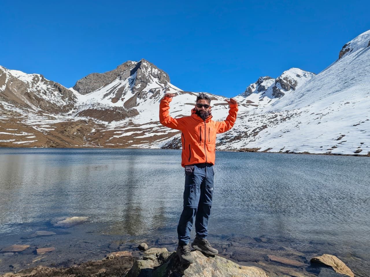
Rupse Chhahara is a tall waterfall beside the road and trail in the Kali Gandaki gorge, between Tatopani and Ghasa. It is one of the best-known waterfalls in Nepal. Trekkers and jeeps stop here for photos.
Read place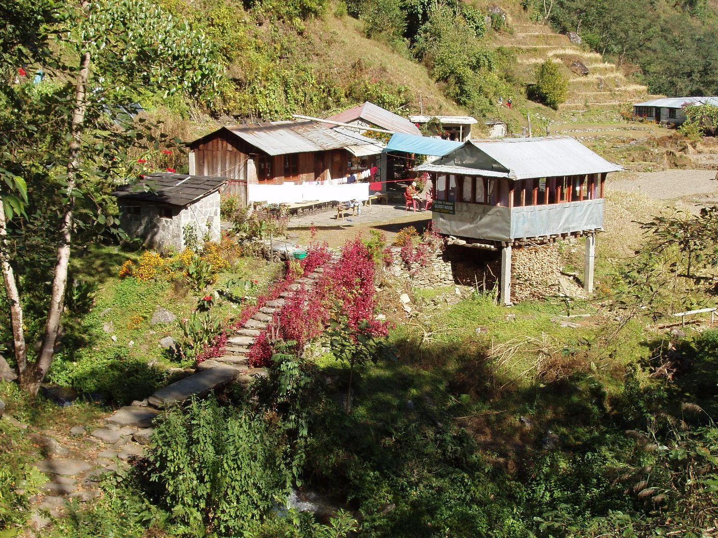
Village
Lete
लेते
2,480 m
Lete is a village beside Kalopani in the Kali Gandaki valley, with views of Dhaulagiri and the Annapurna range. It is a quiet stop on the circuit.
Read place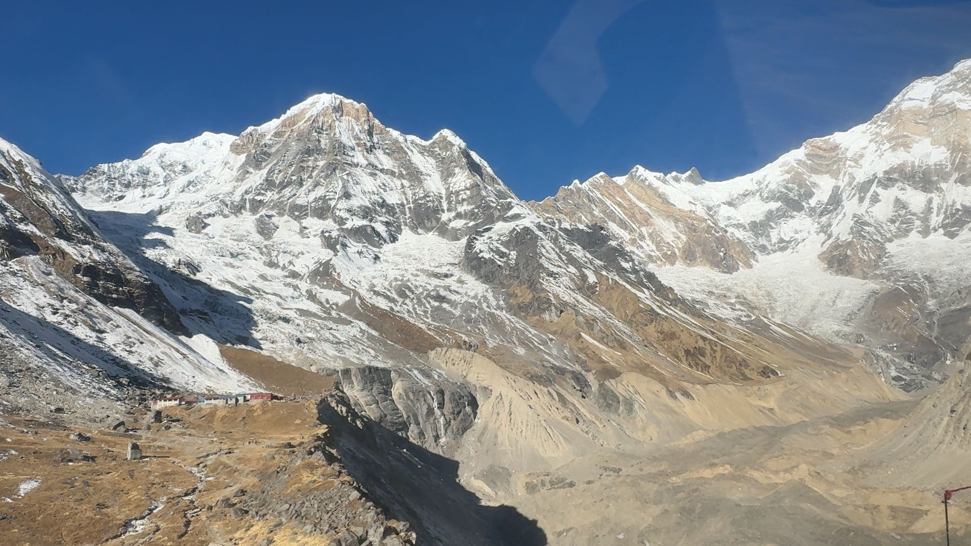
Village
Tatopani (Myagdi)
तातोपानी
1,190 m
Tatopani, meaning “hot water”, is a village in the Kali Gandaki gorge with hot spring pools beside the river. It is a classic stop where the Annapurna Circuit links to Ghorepani and Poon Hill. It is a good place to rest after the long descent from Jomsom.
Read place