

Conservation area
Gaurishankar Conservation Area
गौरीशंकर संरक्षण क्षेत्र
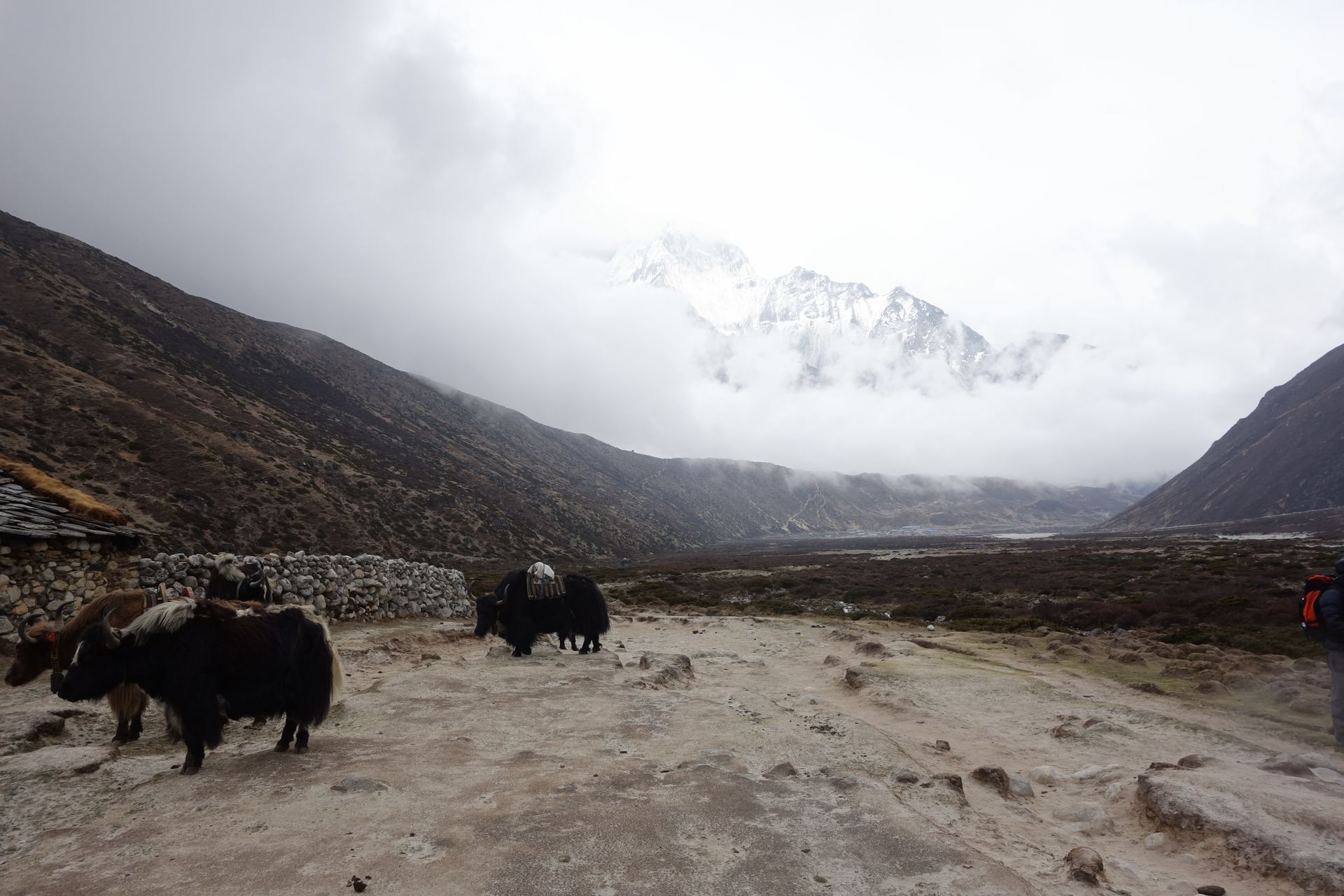
Gaurishankar Conservation Area, established in 2010, protects the Rolwaling and Tamakoshi valleys between Langtang and Sagarmatha National Parks. It covers around 2,179 km² of forest, glacier and high valleys. Trekkers need a conservation area permit for the Rolwaling and Tashi Lapcha routes.
- Elevation: ~1,000–7,181 m
- Type: Protected area
- Region: Rolwaling and Jiri Region
- District: Dolakha
- Established 2010, ~2,179 km²
- Treks: Rolwaling Valley Trek, Tashi Lapcha Pass Trek
About Gaurishankar Conservation Area
Gaurishankar Conservation Area, established in 2010, protects the Rolwaling and Tamakoshi valleys between Langtang and Sagarmatha National Parks. It covers around 2,179 km² of forest, glacier and high valleys.
Trekkers need a conservation area permit for the Rolwaling and Tashi Lapcha routes.
Location and altitude
Gaurishankar Conservation Area spans roughly 1,000 to 7,181 metres in Dolakha district, in the Rolwaling and Jiri Region of Nepal. Nearby places include Rolwaling Valley and Gaurishankar.
Treks that visit Gaurishankar Conservation Area
Gaurishankar Conservation Area is part of these Nepal Trek Services itineraries: Rolwaling Valley Trek and Tashi Lapcha Pass Trek.
Best time to visit
Gaurishankar Conservation Area can be visited most of the year. Spring (March to May) and autumn (September to November) give the clearest mountain views; the June–August monsoon brings rain, leeches and cloud, and winter is cool but often clear.
Where is Gaurishankar Conservation Area?
The exact point on the Himalaya trail, with nearby places for context.
On this map
Nearby places
Valley
Rolwaling Valley
रोल्वालिङ उपत्यका
2,000 m
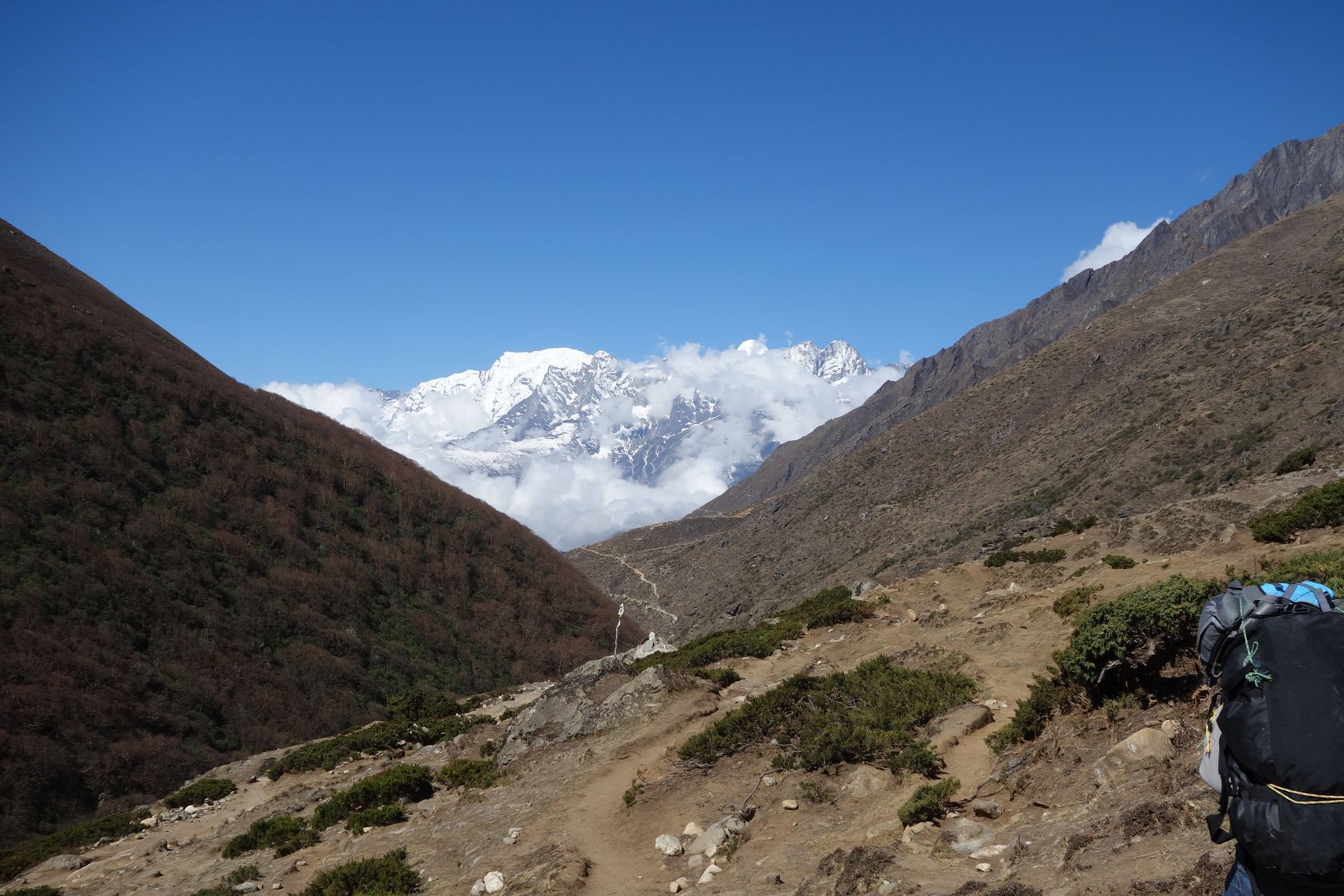
The Rolwaling valley is a remote Sherpa valley west of the Khumbu, regarded as a beyul, a sacred hidden valley. It runs from the Tamakoshi up to the glaciers below Tashi Lapcha. It sees far fewer trekkers than Everest and has only a few basic lodges, making it a true wilderness trek.
Read place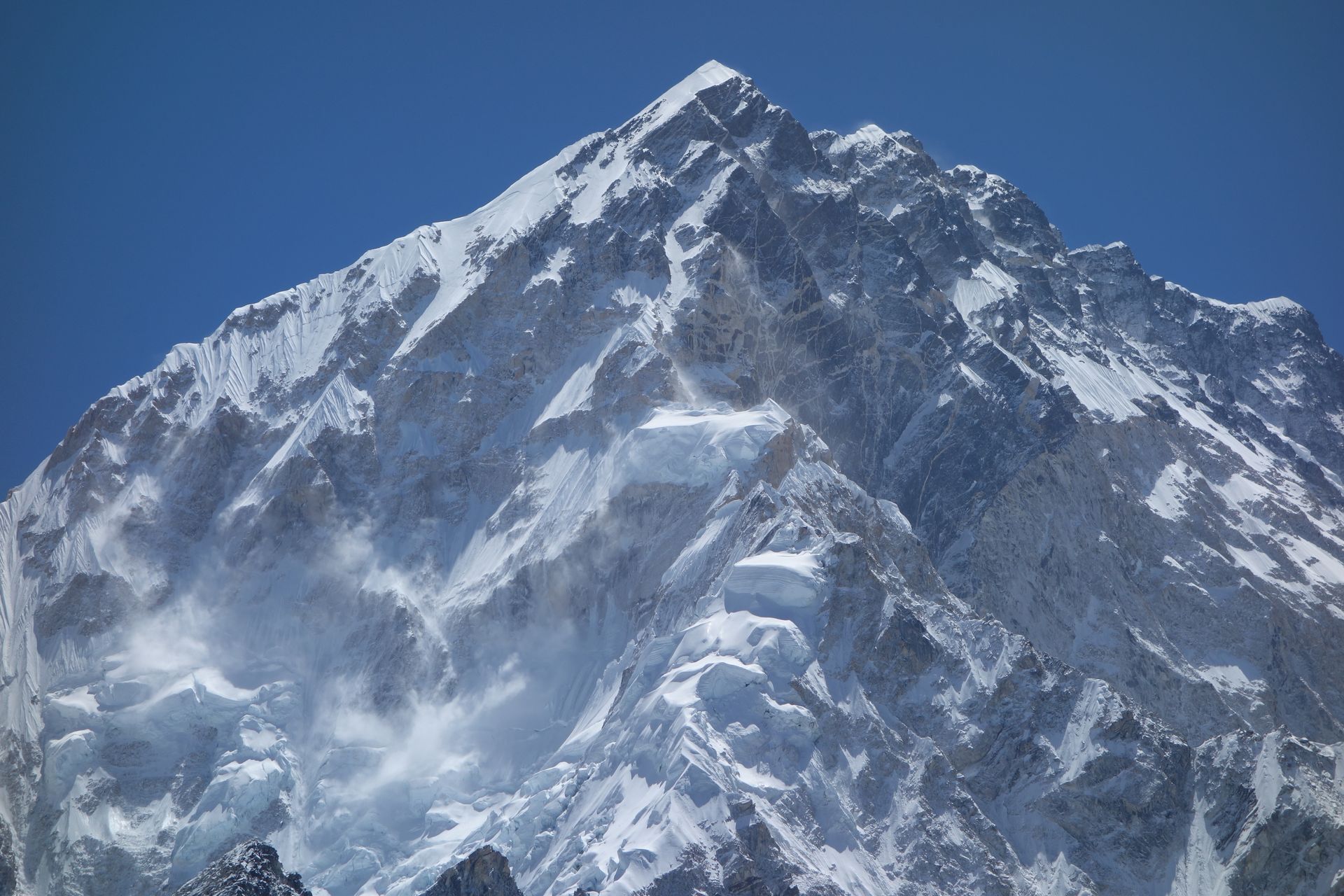
Mountain peak
Gaurishankar
गौरीशंकर
7,134 m
Gaurishankar is a 7,134 m twin-summited peak sacred to Hindus, its two tops seen as Shiva and his consort Gauri. For a time it was mistakenly thought to be Everest. It dominates the lower Rolwaling valley and is visible from as far as Kathmandu on clear days.
Read place