Mountain peak
हिमालचुली
7,893 m
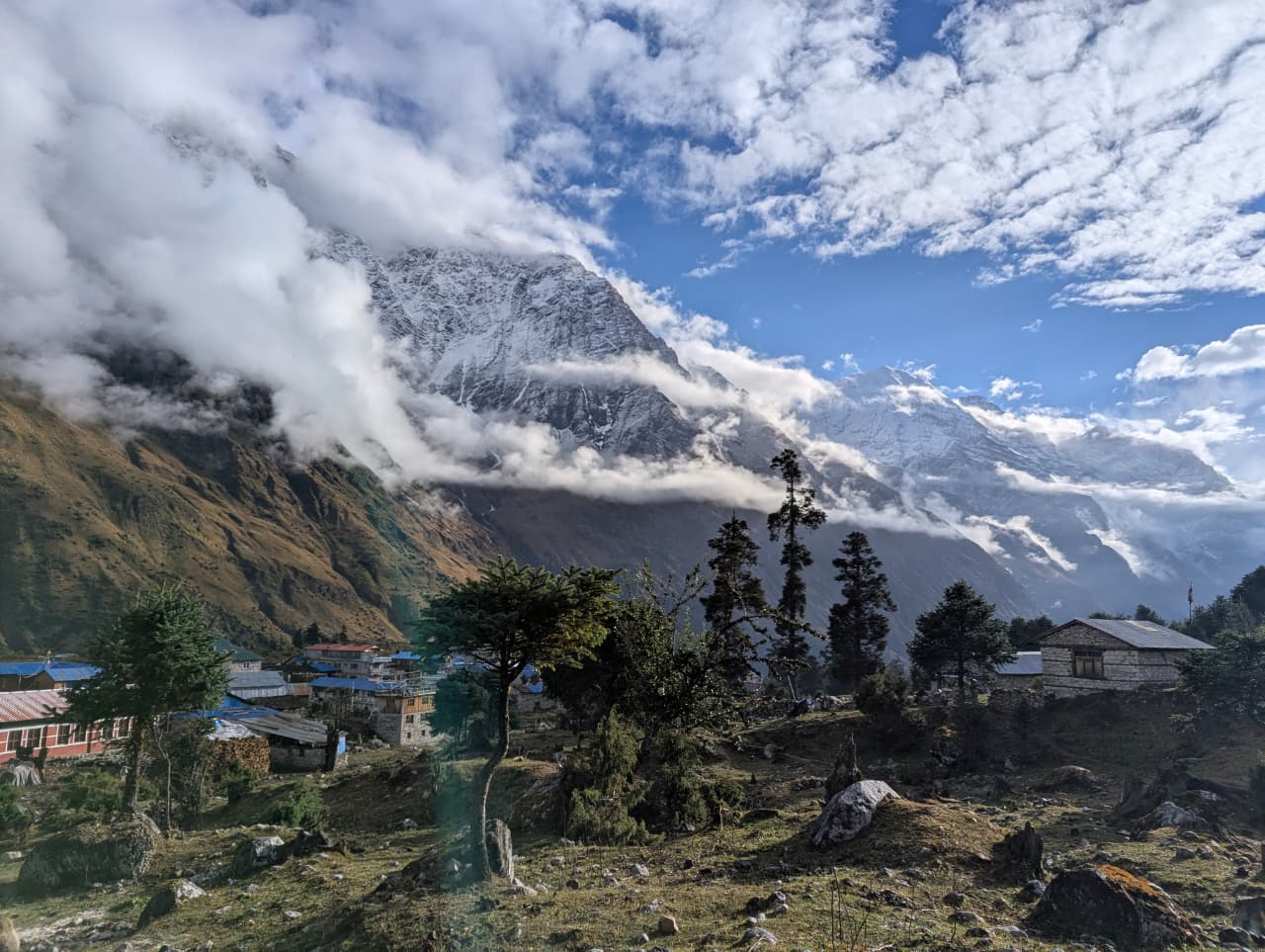
Himal Chuli is a 7,893 m peak south of Manaslu, one of the highest peaks in the Mansiri Himal. It is visible from the Manaslu Circuit around Namrung. It also dominates the view from Barpak and Gorkha.
Read place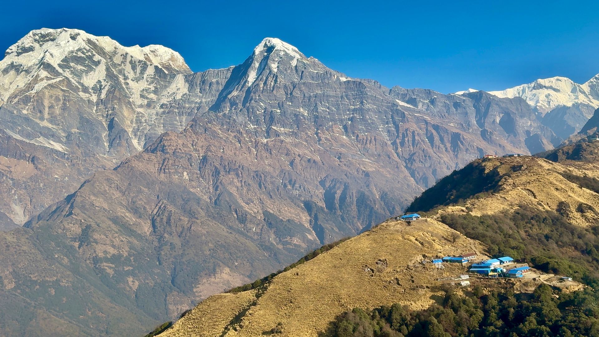
Village
हिमालय
2,920 m
Himalaya is a lodge stop on the Annapurna Base Camp trail, named after its original Himalaya Hotel. It lies below Deurali in the upper Modi Khola gorge. It is a common overnight on the way to the Sanctuary.
Read place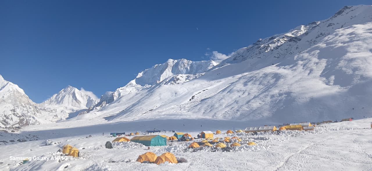
Mountain peak
हिमलुङ हिमाल
7,126 m
Himlung Himal is a 7,126 m peak near the Tibet border north of Nar Phu, a popular expedition climb. It is visible from Bimthang and the Larkya La. Its base camp is reached via Phu village.
Read placeMountain peak
हिउँचुली
6,441 m
Hiunchuli is a 6,441 m peak forming part of the southern wall of the Annapurna Sanctuary, east of Annapurna South. It rises above the Modi Khola gorge and is seen throughout the Annapurna Base Camp trek.
Read place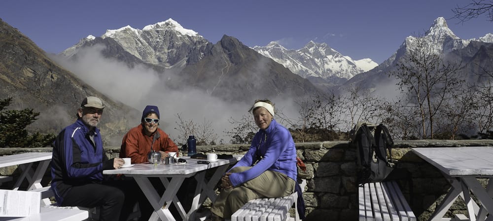
Teahouse / lodge
होटल एभरेष्ट भ्यू
3,880 m
Hotel Everest View is a Japanese-built hotel on the ridge above Namche Bazaar, opened in 1971. Its terrace has a famous panorama of Everest, Lhotse and Ama Dablam. Trekkers often stop for tea on the acclimatisation hike from Namche, and the Everest View Trek can include a night here.
Read place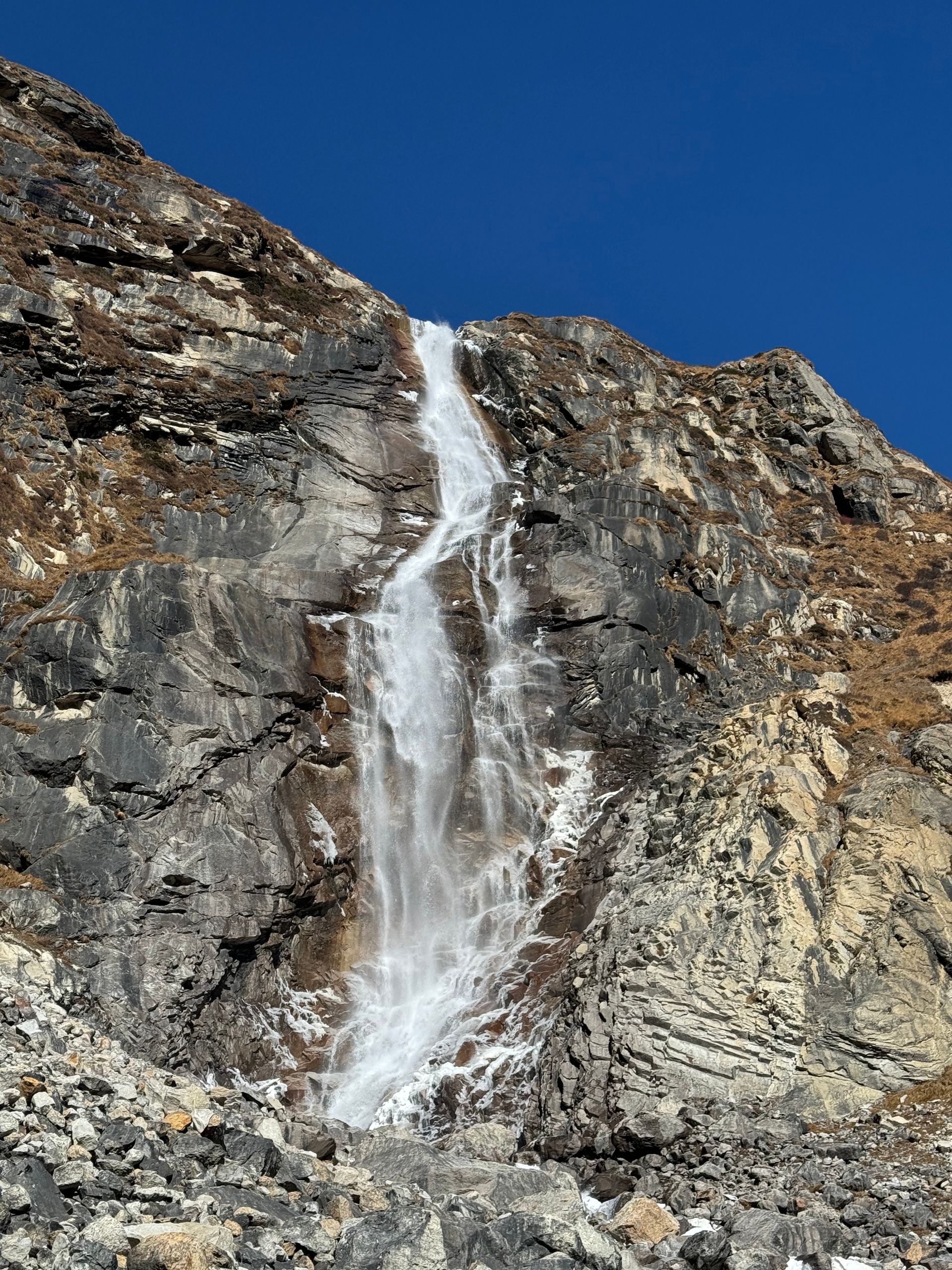
Waterfall
ह्याटुङ झरना
1,300 m
Hyatung Waterfall is a tall cascade in the eastern hills, often cited as one of the tallest waterfalls in Nepal. It is a growing attraction for domestic visitors. It can be combined with a visit to the Tinjure–Milke–Jaljale area.
Read place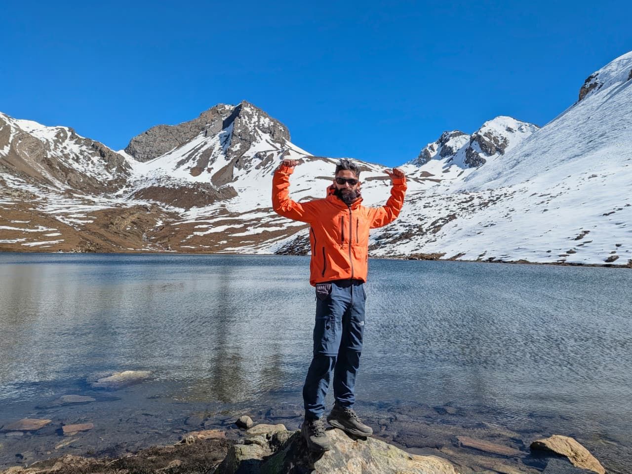
Lake
किचो ताल
4,600 m
Ice Lake, or Kicho Tal, is a high lake above Braga reached by a steep acclimatisation climb from Manang. It is often frozen and gives wide views of the Annapurnas and Gangapurna. The climb of about 1,000 m makes it an excellent acclimatisation day.
Read place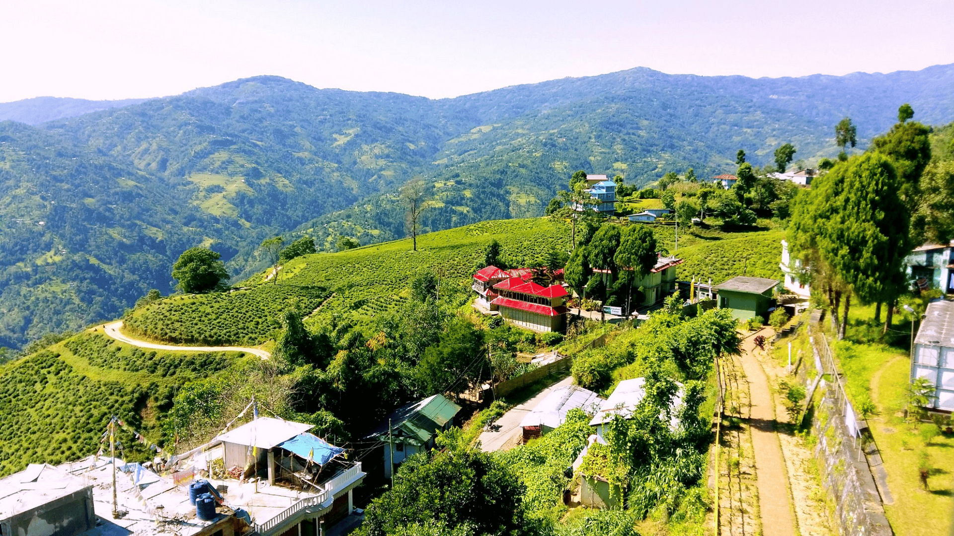
Town / city
Ilam is a scenic hill town in eastern Nepal famous for its tea gardens, lush landscapes and strategic location between Bhadrapur and the Kanchenjunga region.
Read place
River
इम्जा खोला
3,250 m
The Imja Khola flows from the Imja Glacier and Imja Tsho lake below Island Peak, past Chhukung and Dingboche, to meet the Dudh Koshi below Tengboche. The EBC trail follows it from Pangboche up to Dingboche.
Read place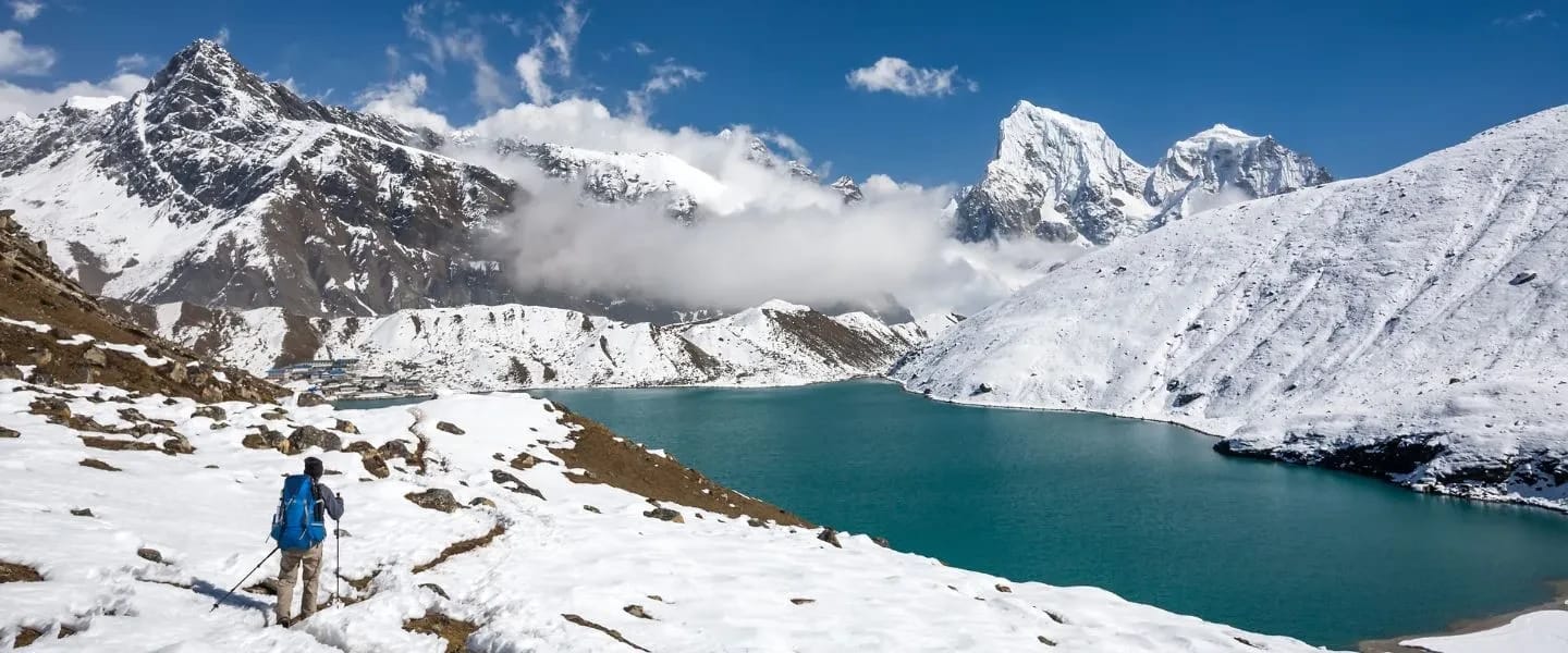
Lake
इम्जा छो
5,010 m
Imja Tsho (5,010 m) is a glacial lake in the Khumbu, at the foot of the Imja and Lhotse Shar glaciers near Island Peak. Learn about its location, trekking routes and why it matters.
Read place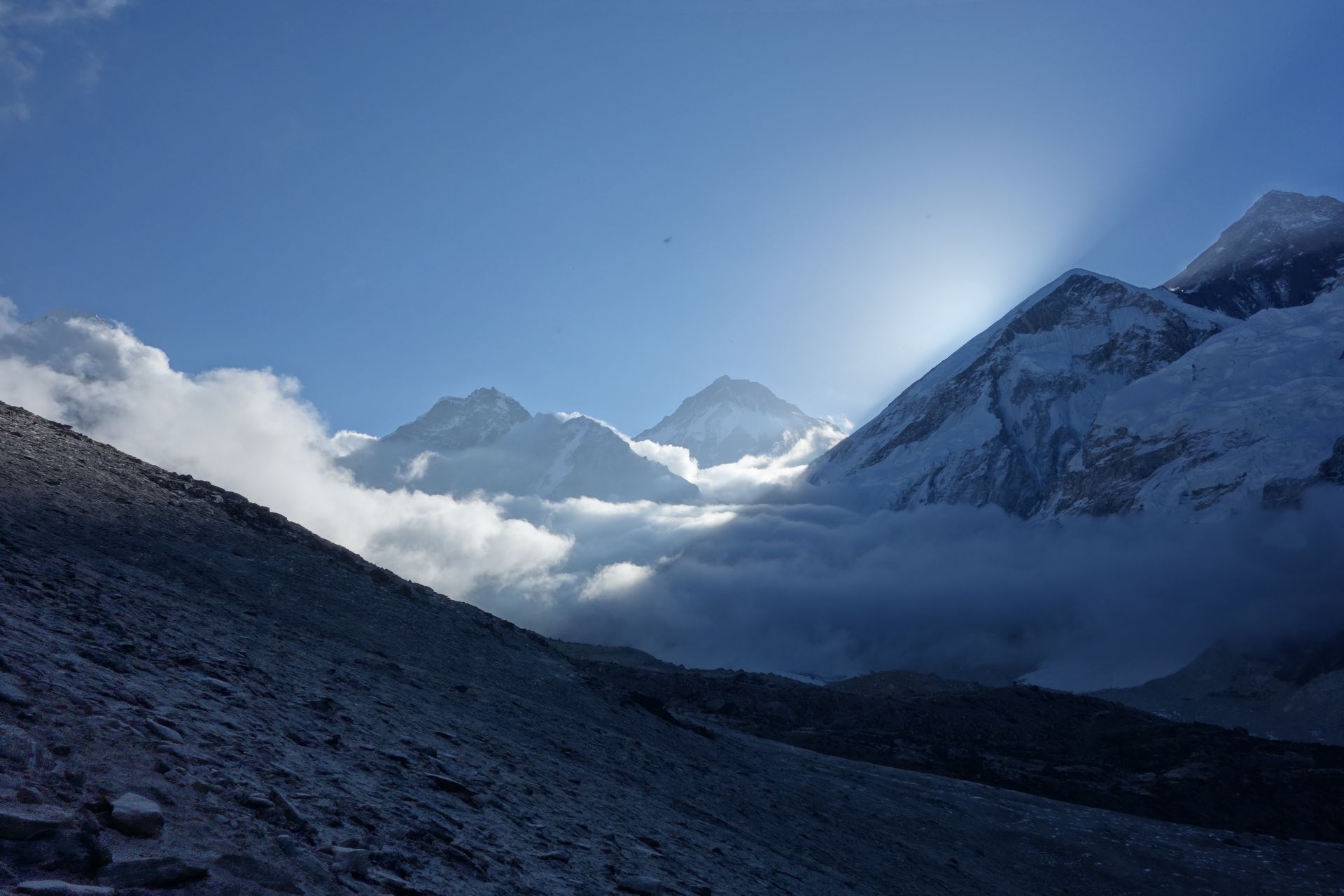
Mountain peak
इम्जा त्से
6,189 m
Island Peak, or Imja Tse, is a 6,189 m trekking peak rising from the Imja valley like an island in a sea of ice. It is one of the most popular climbing peaks in Nepal for first-time Himalayan climbers. Climbers set out from Chhukung and a base camp at about 5,100 m.
Read place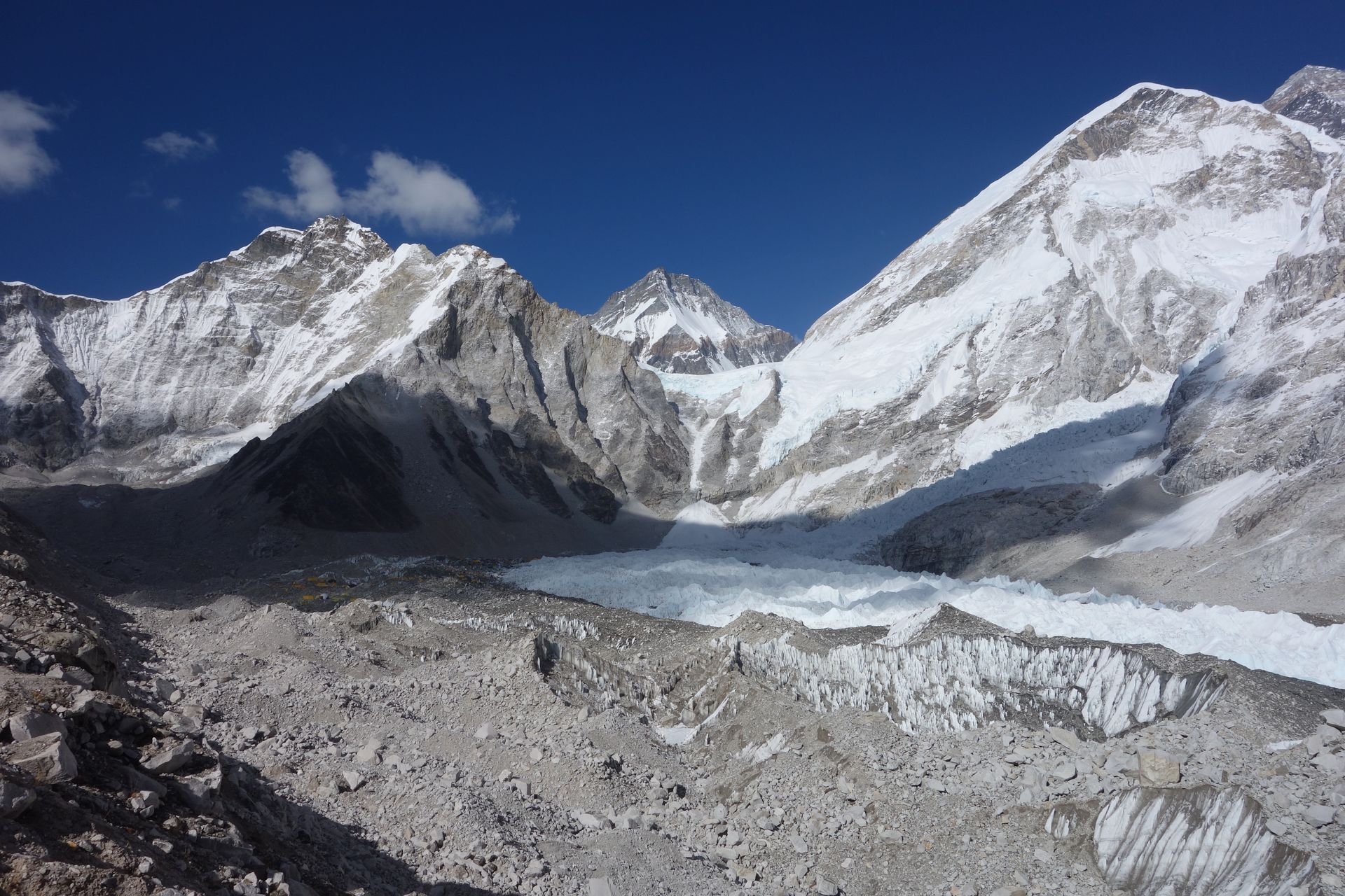
Base camp
आइल्यान्ड पिक आधार शिविर
5,087 m
Island Peak Base Camp is a tented camp on the moraine beneath Island Peak, a few hours’ walk above Chhukung. Climbers spend the night here before the summit push. There are no permanent lodges; groups bring tents and kitchen crews.
Read place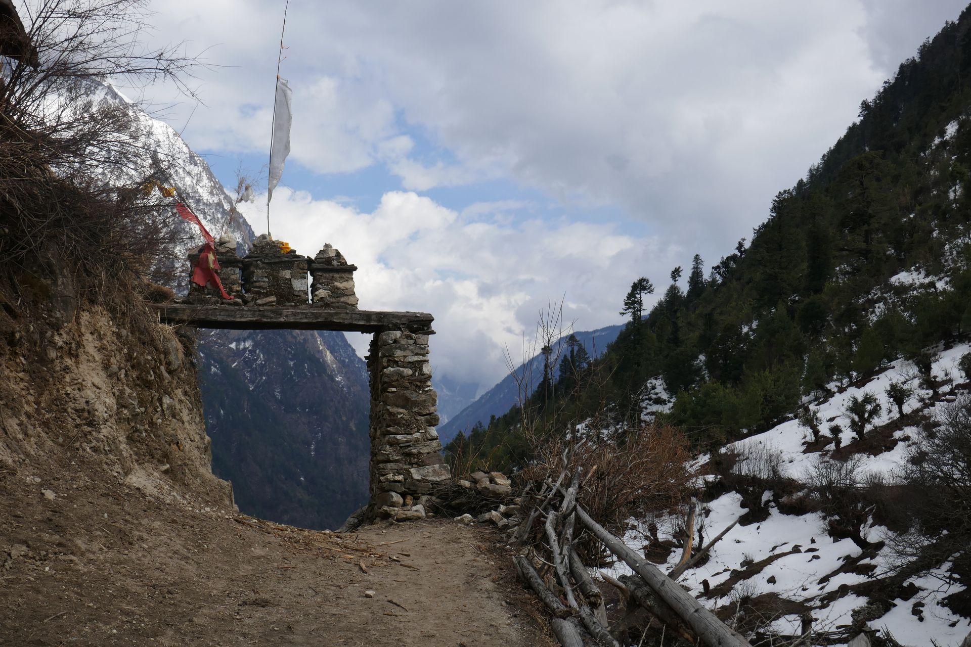
Checkpoint
जगत
1,340 m
Jagat is a stone-paved village at the entrance to the Manaslu Conservation Area, where restricted area and MCAP permits are checked. Beyond it the valley becomes more Tibetan in culture. This is a different Jagat from the one on the Annapurna Circuit.
Read place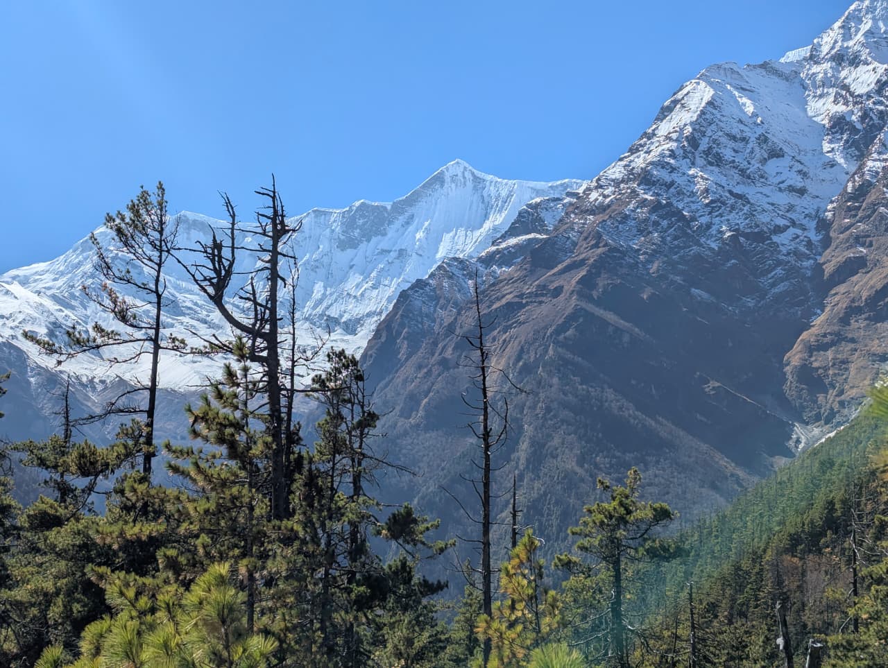
Village
जगत
1,300 m
Jagat is a village perched on a shelf above the Marsyangdi gorge, on the lower Annapurna Circuit. It was once a customs post on the salt trade route to Tibet. This is a different Jagat from the one on the Manaslu Circuit.
Read place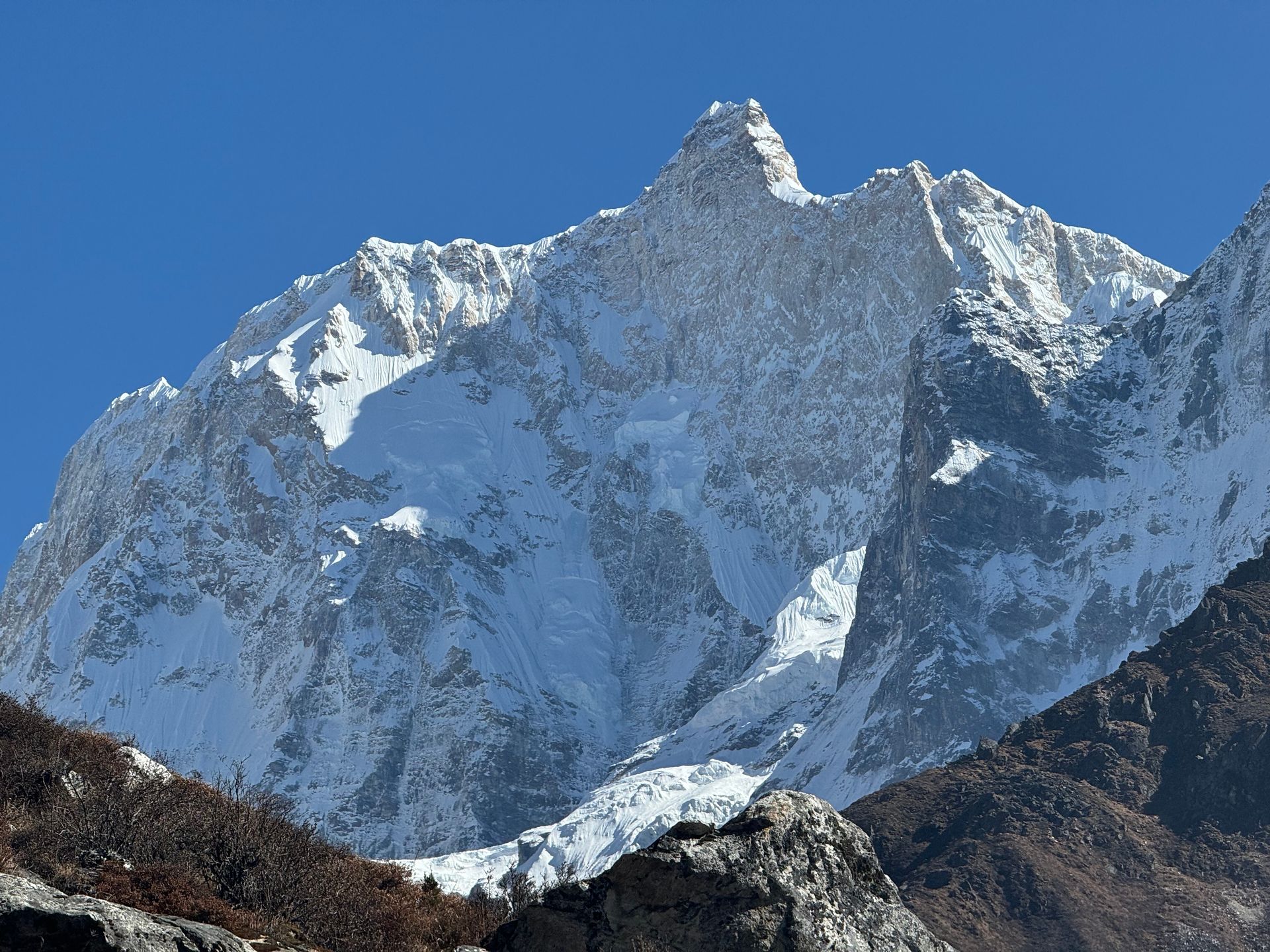
Mountain peak
कुम्भकर्ण (Kumbhakarna)
7,710 m
Jannu, officially Kumbhakarna, is a 7,710 m peak west of Kanchenjunga, famous for its huge, steep north face. It was first climbed by a French expedition in 1962.
Read place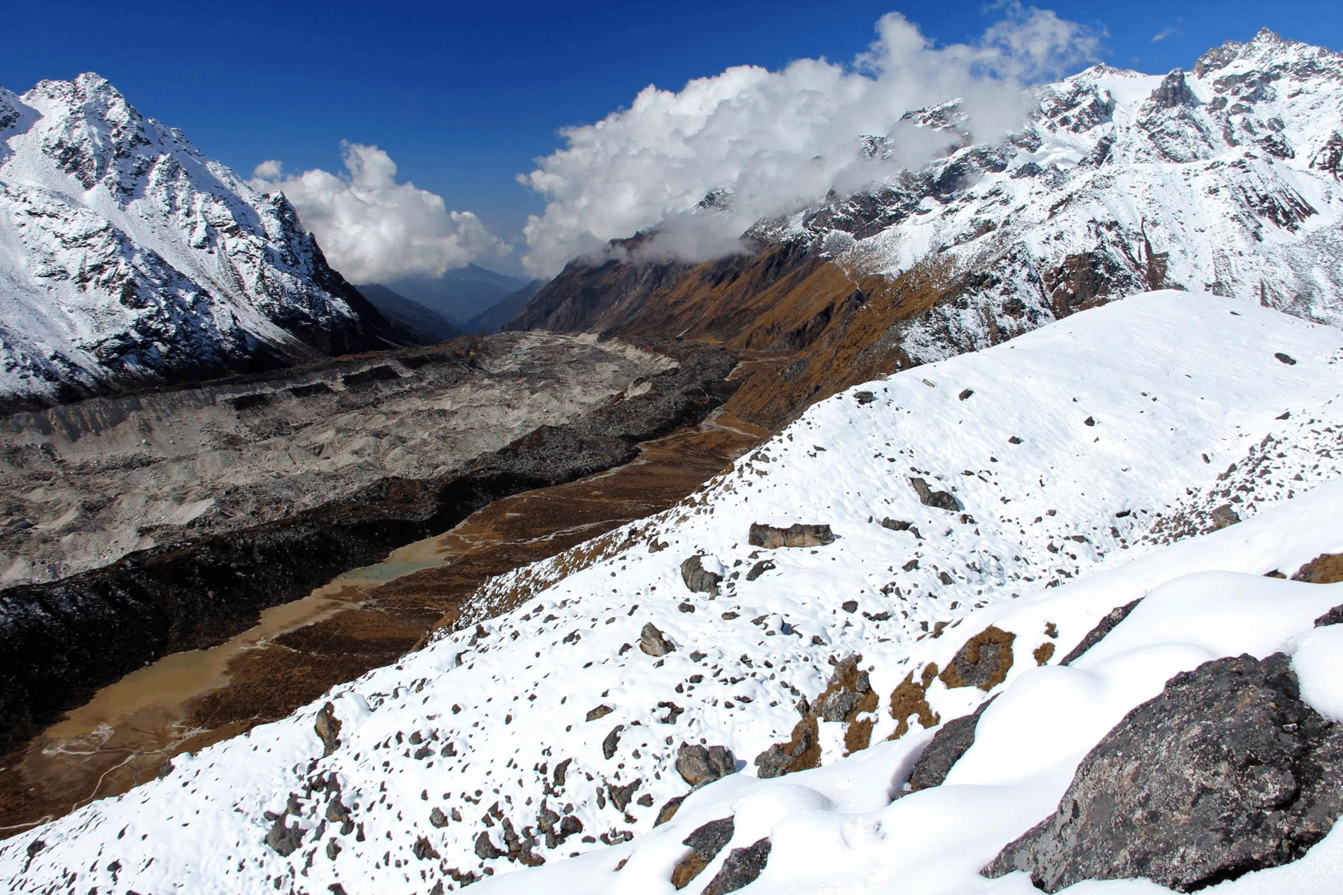
Glacier
4,000 m
The Jannu Glacier flows from the north face of Jannu (Kumbhakarna), descending towards Kambachen in the upper Ghunsa valley.
Read place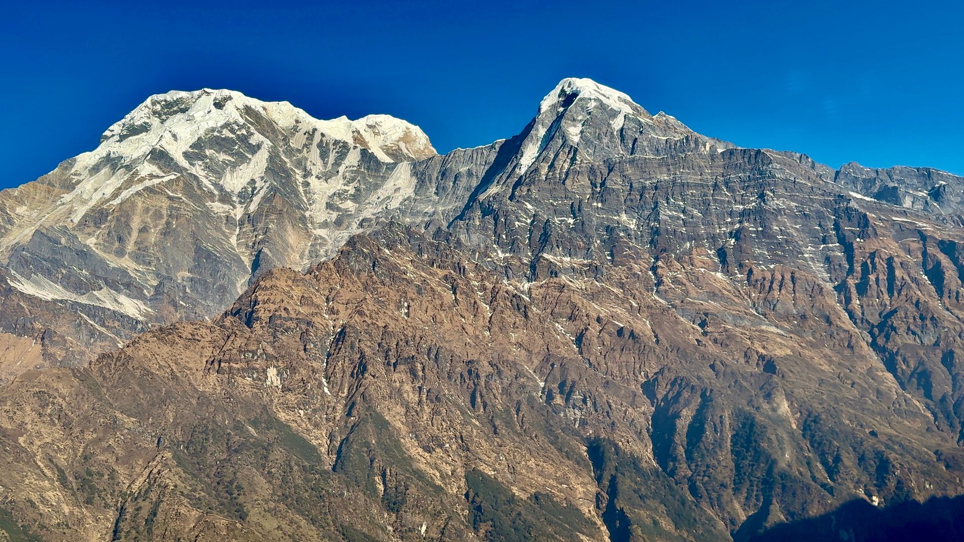
Village
झारकोट
3,550 m
Jharkot is an old fortified village below Muktinath with a crumbling fort, a gompa and a Tibetan medicine centre. It has fine views of Dhaulagiri and Tukuche. Trekkers pass through on the way from Muktinath to Kagbeni.
Read place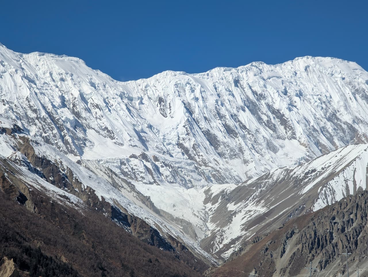
Village
झिनु डाँडा
1,780 m
Jhinu Danda is a small village below Chhomrong famous for its natural hot springs beside the Modi Khola, a short walk below the lodges. It is a popular stop on the way down from Annapurna Base Camp to soak tired legs.
Read place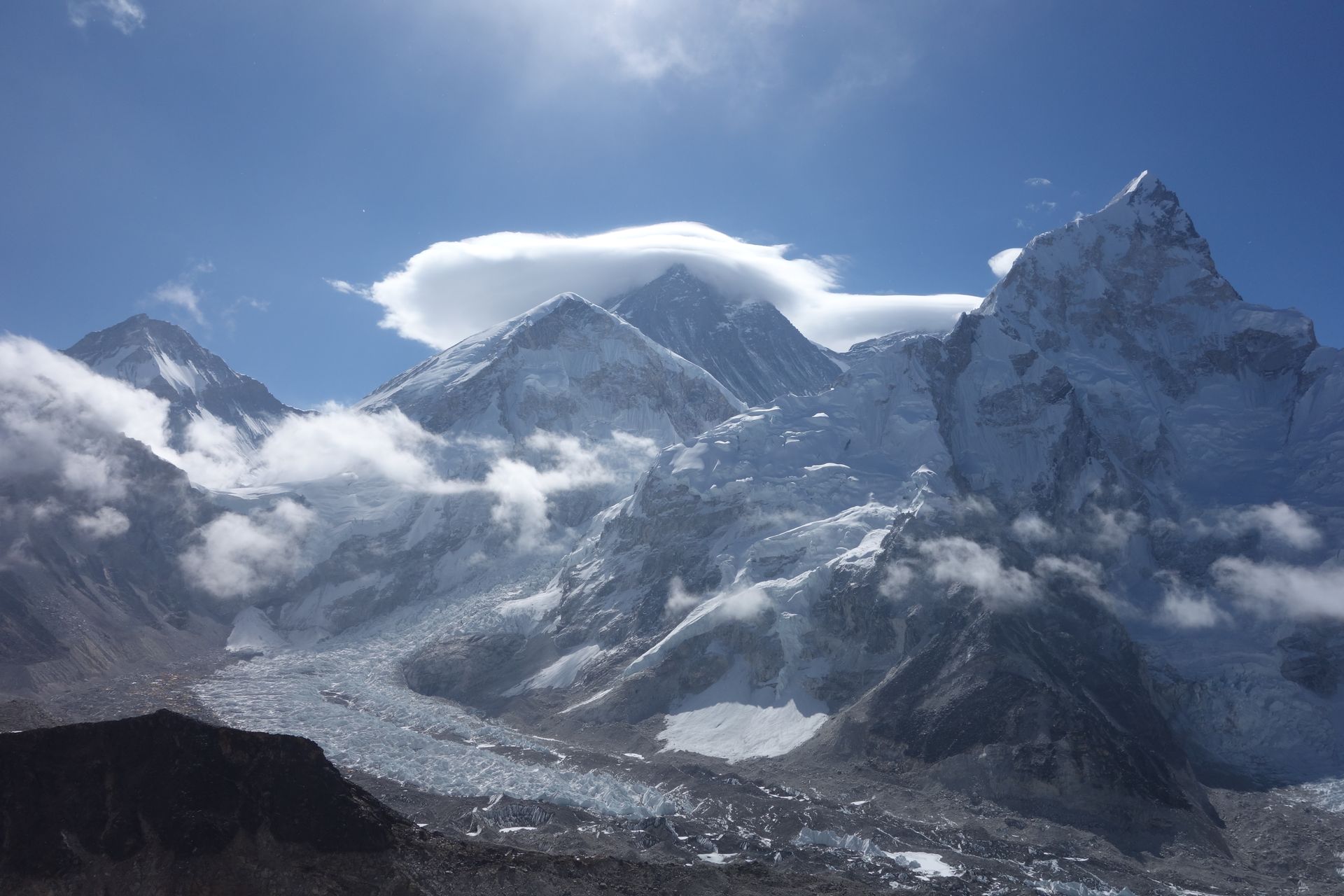
Town / city
जिरी
1,905 m
Jiri is a hill town in Dolakha district where the classic walk-in to Everest begins, the route used by the 1953 expedition before Lukla airport existed. It is reached by road from Kathmandu in about seven to eight hours.
Read place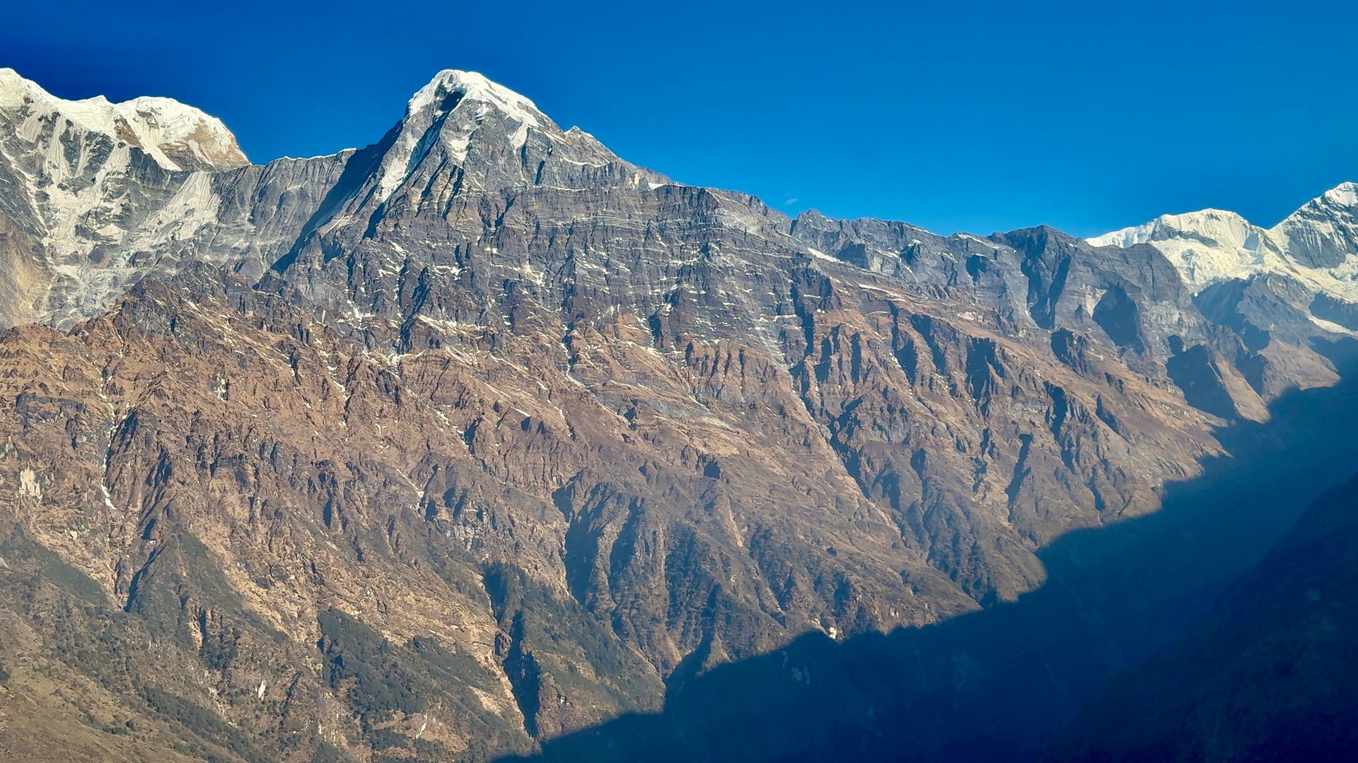
Town / city
जोमसोम
2,720 m
Jomsom is the district headquarters of Mustang, on the Kali Gandaki beneath Nilgiri. It is known for the strong winds that blow up the valley every afternoon. Flights to Pokhara and roads to Beni make it the main hub for Lower and Upper Mustang.
Read place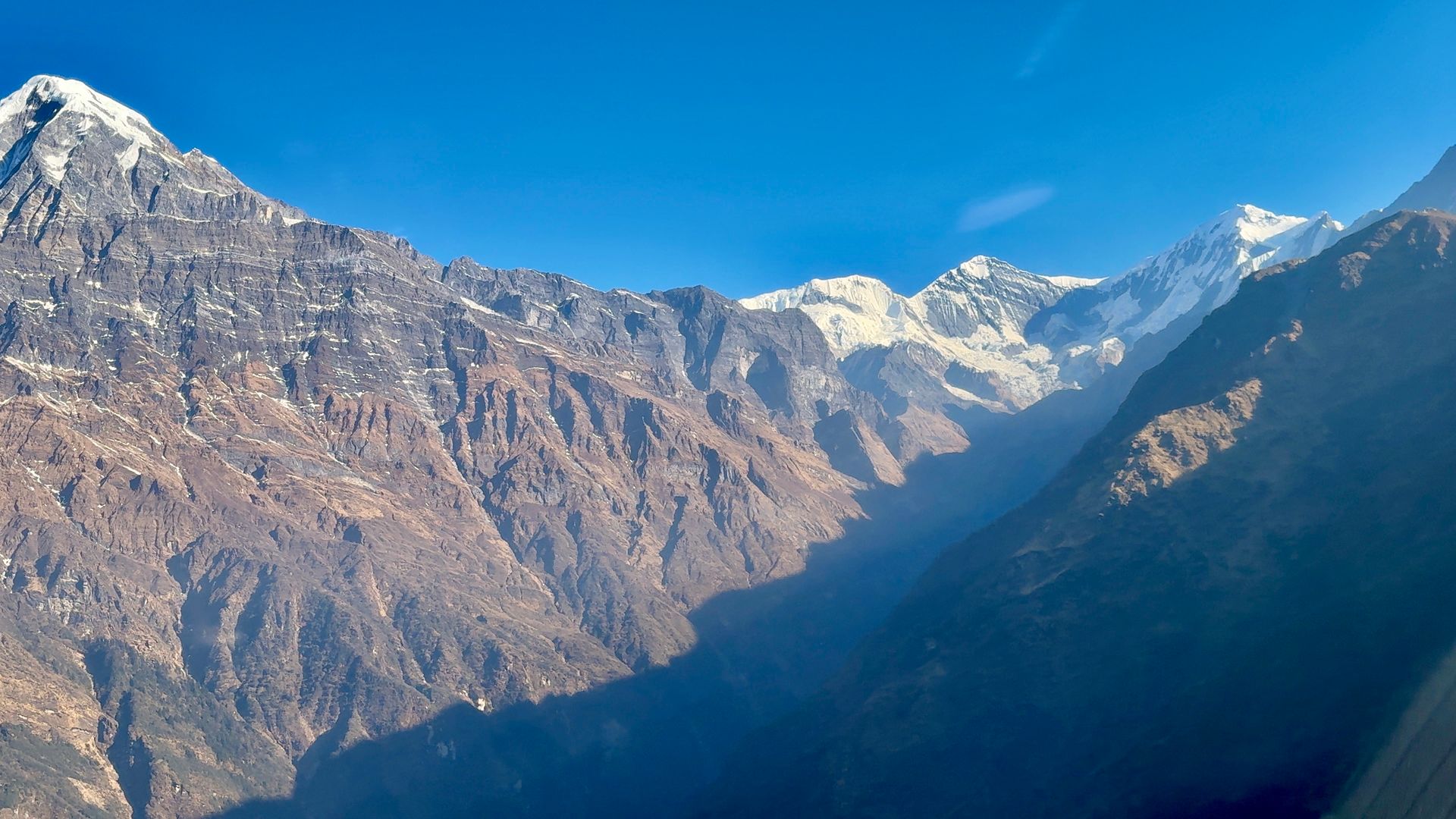
Airstrip / airport
जोमसोम विमानस्थल
2,736 m
Jomsom Airport is the airstrip for Mustang, with short morning flights to Pokhara through the Kali Gandaki gorge. Afternoon winds stop flights after midday. Flights are often delayed by weather, so a buffer day is recommended.
Read place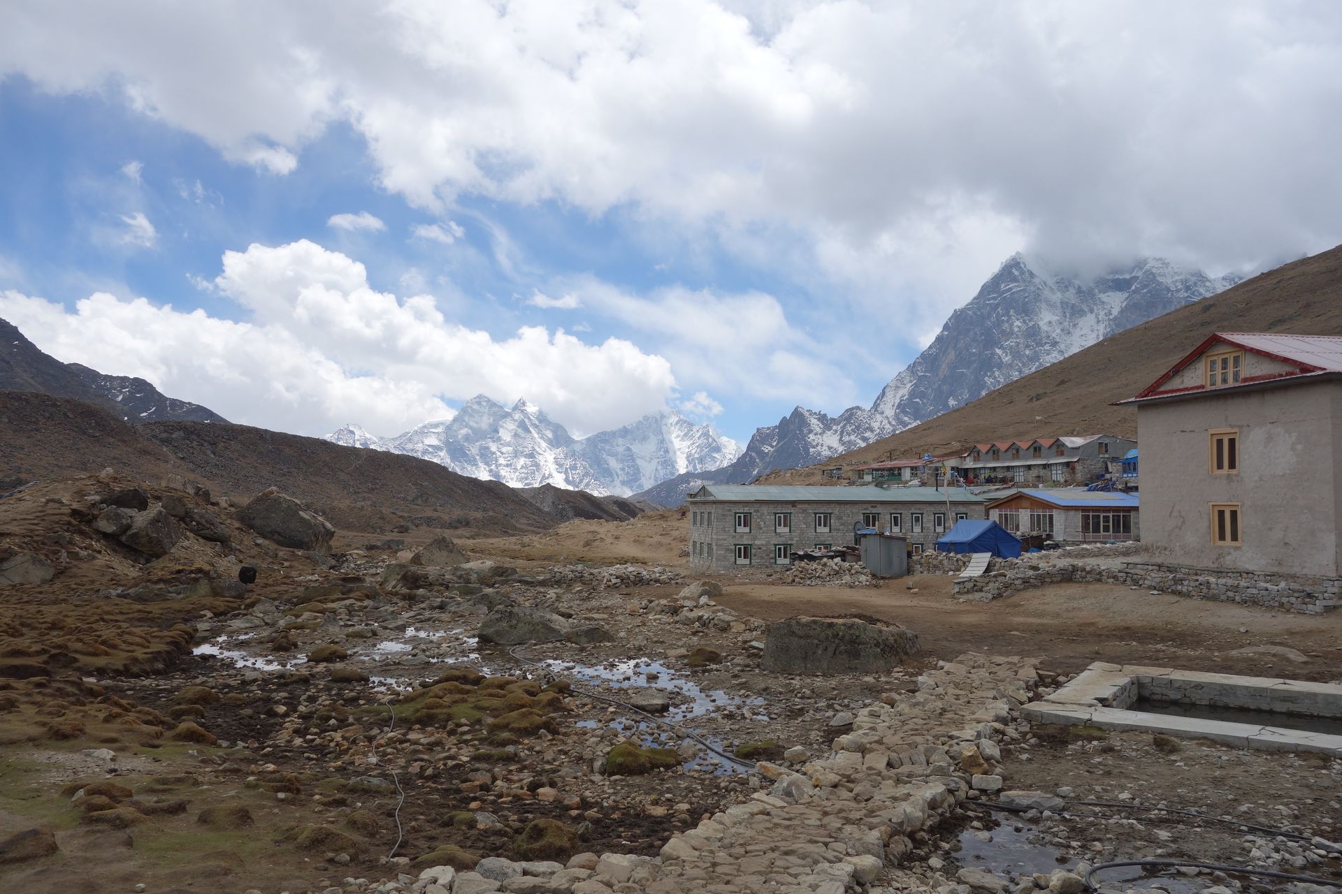
Village
जोरसाल्ले
2,740 m
Jorsalle is the first village inside Sagarmatha National Park, just after the Monjo checkpoint. It is the last place for food and water before the steep climb to Namche Bazaar. The trail crosses the Dudh Koshi several times here.
Read place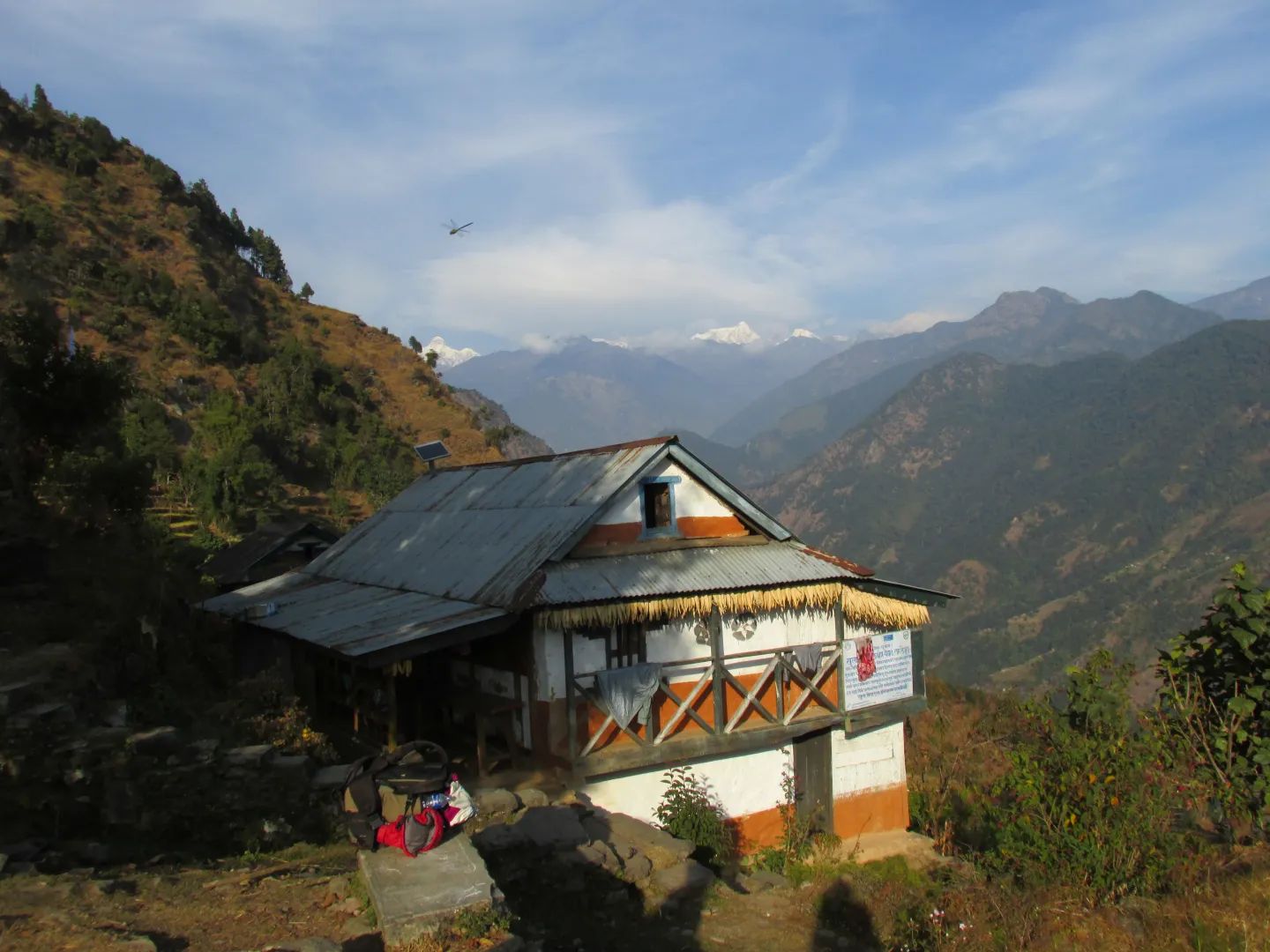
Mountain range
जुगल हिमाल
6,966 m
The Jugal Himal is a mountain range east of Langtang, its highest peak Dorje Lakpa at 6,966 m. It is one of the closest Himalayan ranges to Kathmandu. The Jugal Himal and Panch Pokhari treks explore its remote southern flanks.
Read place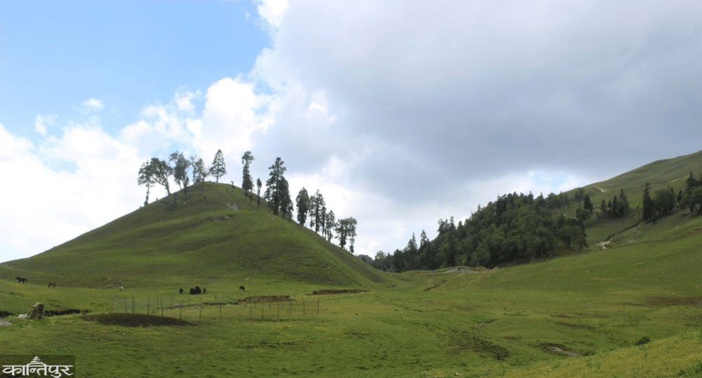
Town / city
जुम्ला
2,540 m
Jumla is the district headquarters of Jumla, a historic town in the Karnali region known for its red rice and apples. It has an airport with flights to Nepalgunj. It is the start or end of the Rara to Jumla trek.
Read place

