

Town / city
Jiri
जिरी
Jiri is a hill town in Dolakha district where the classic walk-in to Everest begins, the route used by the 1953 expedition before Lukla airport existed. It is reached by road from Kathmandu in about seven to eight hours.
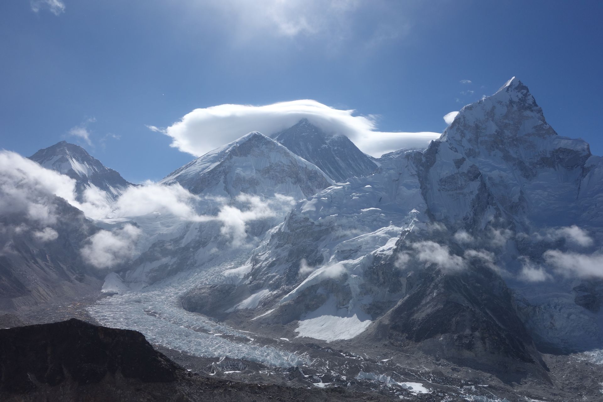
- Elevation: ~1,905 m / 6,250 ft
- Type: Town
- Region: Rolwaling and Jiri Region
- District: Dolakha
- “Gateway to Everest” of the pioneer era
- Treks: Everest Base Camp Trek Classic Route (Via Jiri to EBC)
About Jiri
Jiri is a hill town in Dolakha district where the classic walk-in to Everest begins, the route used by the 1953 expedition before Lukla airport existed. It is reached by road from Kathmandu in about seven to eight hours.
Today it is the starting point for the Jiri to Everest Base Camp trek and the Numbur Cheese Circuit, through Sherpa and Tamang farming country.
Location and altitude
Jiri sits at about 1,905 m (6,250 ft) in Dolakha district, in the Rolwaling and Jiri Region of Nepal. Nearby places include Shivalaya and Charikot.
Treks that visit Jiri
Jiri is part of these Nepal Trek Services itineraries: Everest Base Camp Trek Classic Route (Via Jiri to EBC) and Numbur Cheese Circuit Trek.
Best time to visit
Jiri can be visited most of the year. Spring (March to May) and autumn (September to November) give the clearest mountain views; the June–August monsoon brings rain, leeches and cloud, and winter is cool but often clear.
Where is Jiri?
The exact point on the Himalaya trail, with nearby places for context.
On this map
Nearby places
Village
Shivalaya
शिवालय
1,800 m
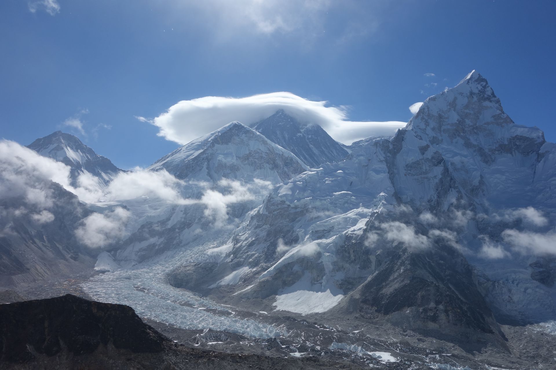
Shivalaya is a riverside village on the Khimti Khola, a day’s walk east of Jiri on the classic route to Everest. Many trekkers now start here by jeep to skip the first stage. From here the trail climbs over Deurali to the Solu region, while the Numbur Cheese Circuit heads north into the hills.
Read place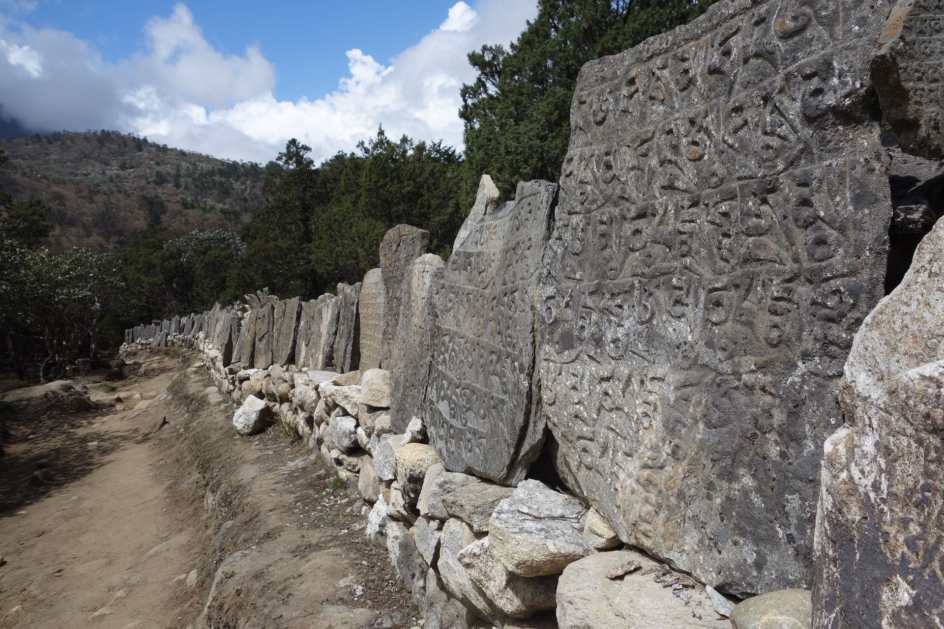
Town / city
Charikot
चरिकोट
1,970 m
Charikot is the district headquarters of Dolakha, a ridge-top town on the road to Jiri with views of Gaurishankar. Nearby Dolakha Bazaar is home to the Bhimsen temple. It is the road junction for the Rolwaling Valley via Gongar and Singati.
Read place