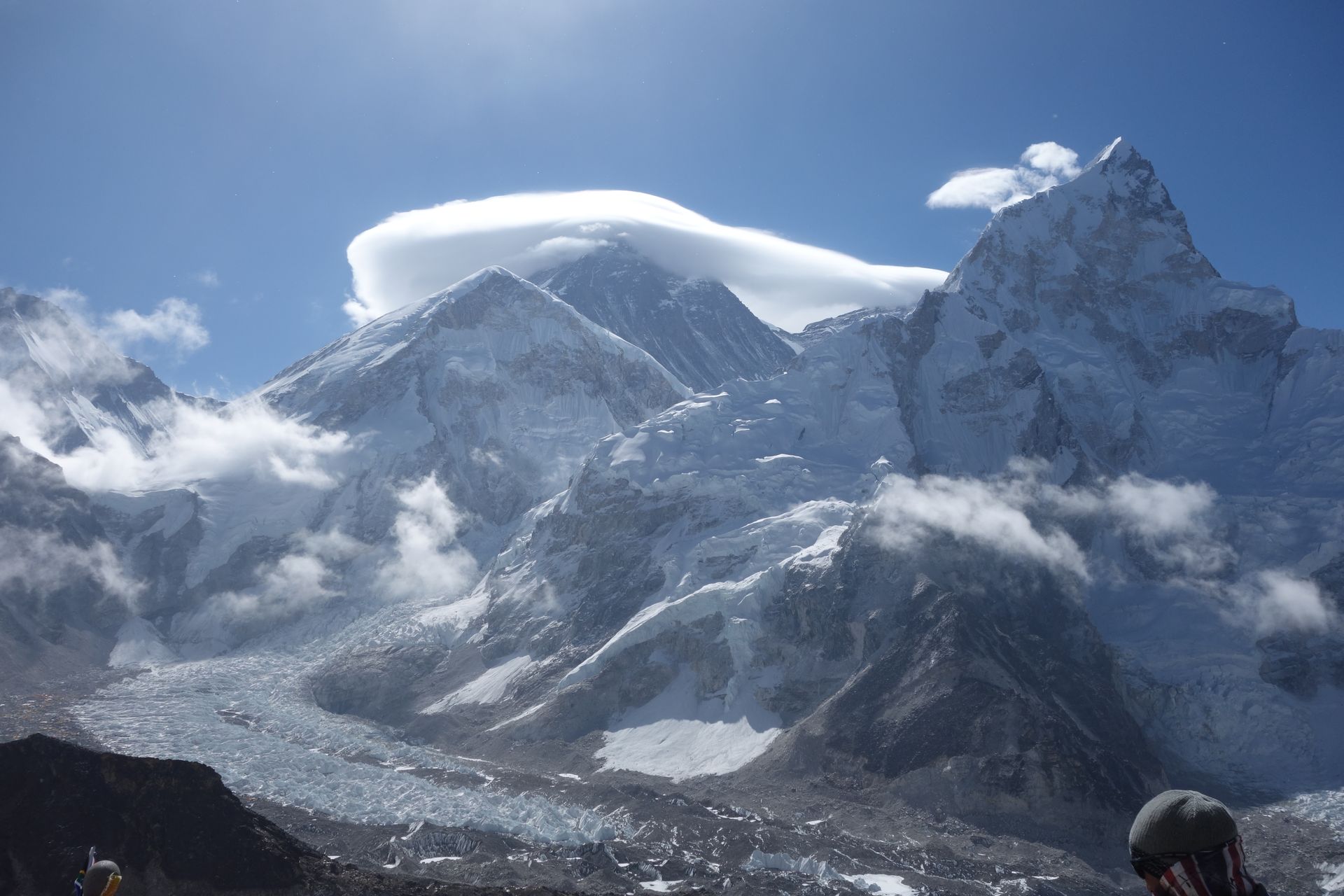
Village
जुनबेसी
2,675 m
Junbesi is one of the most attractive Sherpa villages in the Solu region, set in a wide valley on the old trail from Jiri to Everest. Its gompa and the nearby Thupten Choling Monastery are worth visiting. It is a regular overnight stop on the classic Jiri to EBC route and the Pikey Peak trek.
Read place
Airstrip / airport
जुफाल
2,475 m
Juphal is the airstrip for Dolpo, reached by flights from Nepalgunj. It is the usual start and end of Dolpo treks. From here the trail descends to Dunai on the Thuli Bheri river.
Read place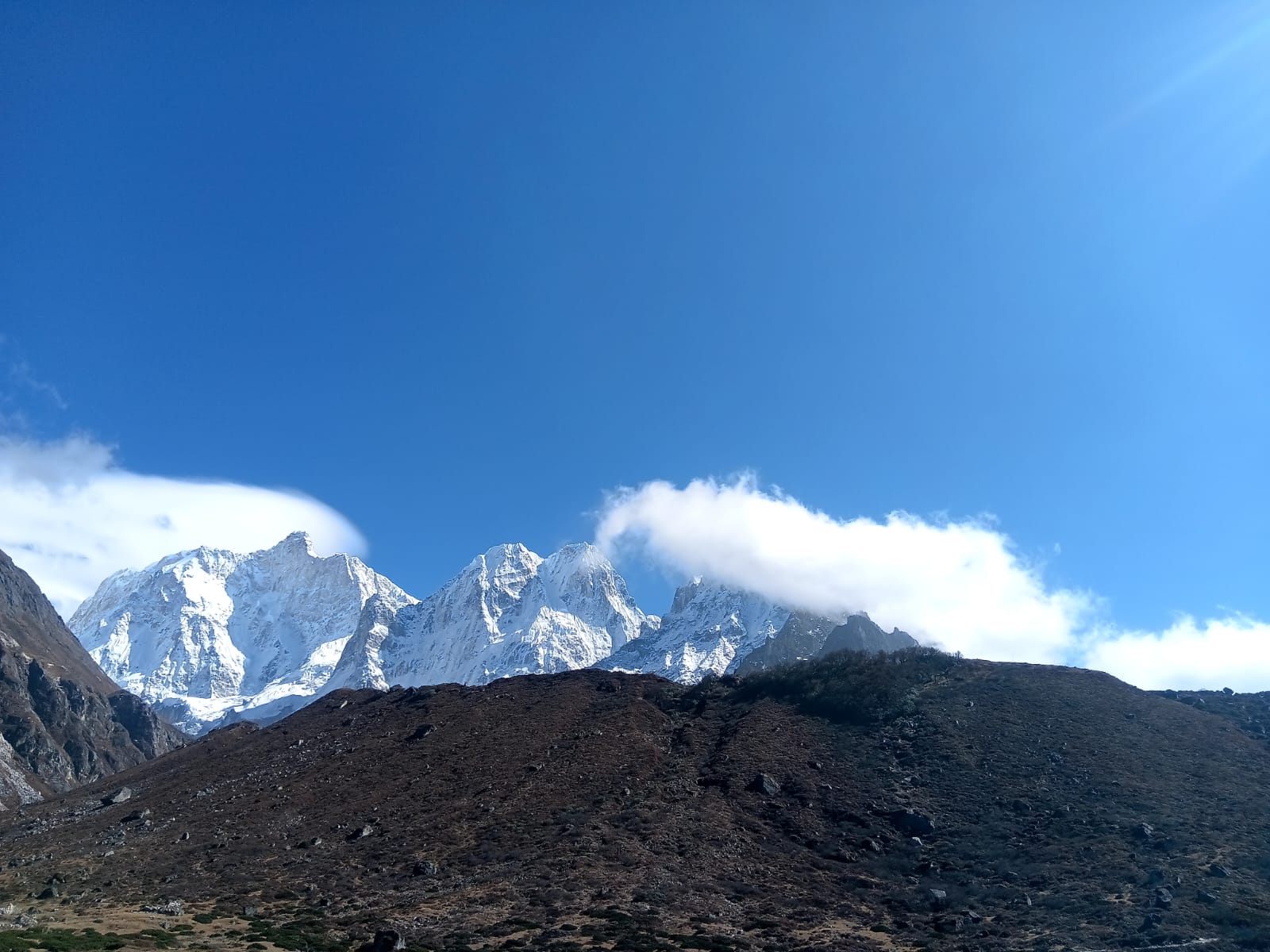
Mountain range
7,412 m
Kabru is a massif on the Nepal–Sikkim border south of Kanchenjunga, with two main summits, Kabru North and Kabru South. It forms part of the long ridge seen from Oktang and Kanchenjunga South Base Camp.
Read place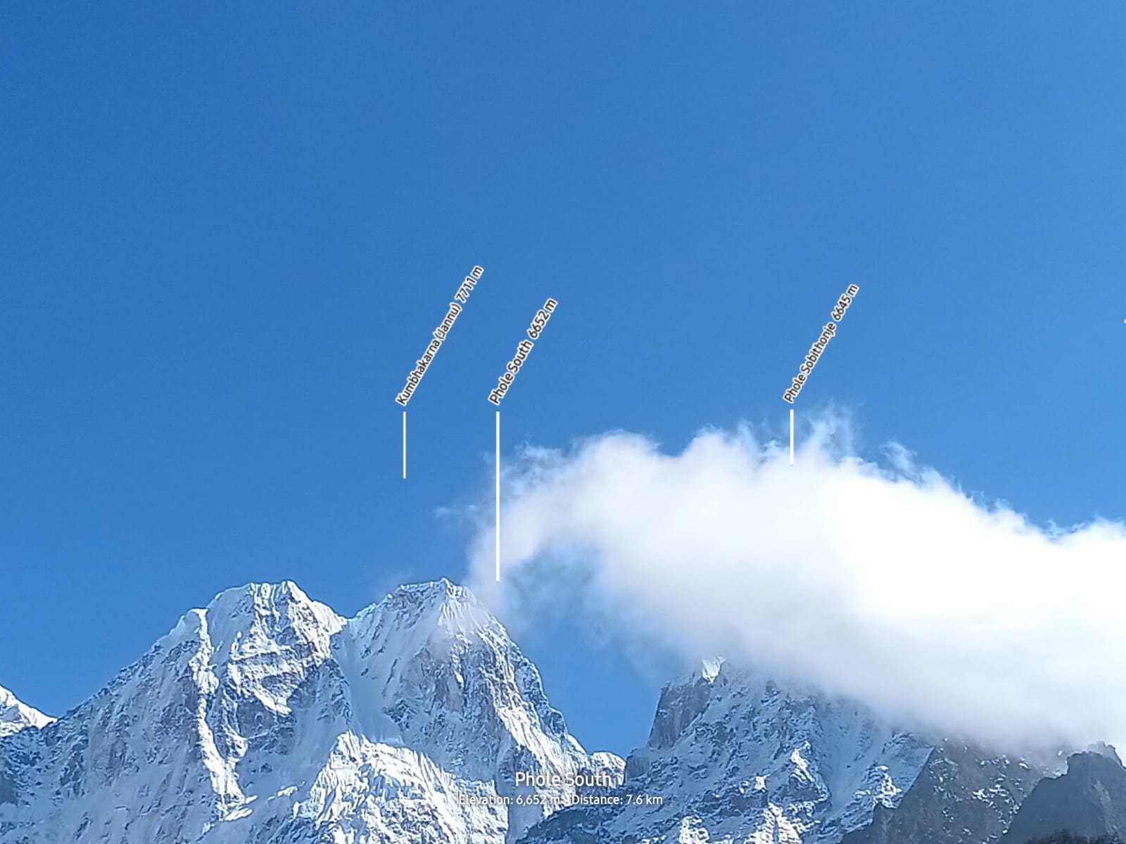
Mountain peak
7,412 m
Kabru North is the higher of the two Kabru summits, on the Nepal–Sikkim border south of Kanchenjunga.
Read place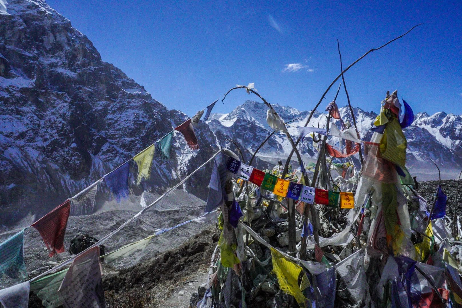
Mountain peak
7,318 m
Kabru South is the southern summit of the Kabru massif on the Nepal–Sikkim border.
Read place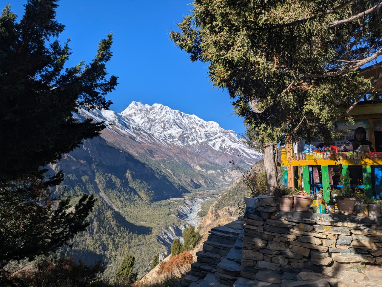
Religious site
काग छोडे गुम्बा
2,810 m
Kag Chode Monastery is a red Sakya monastery in Kagbeni, founded in the 15th century. It houses old statues and murals. It is a highlight of a stop in Kagbeni.
Read place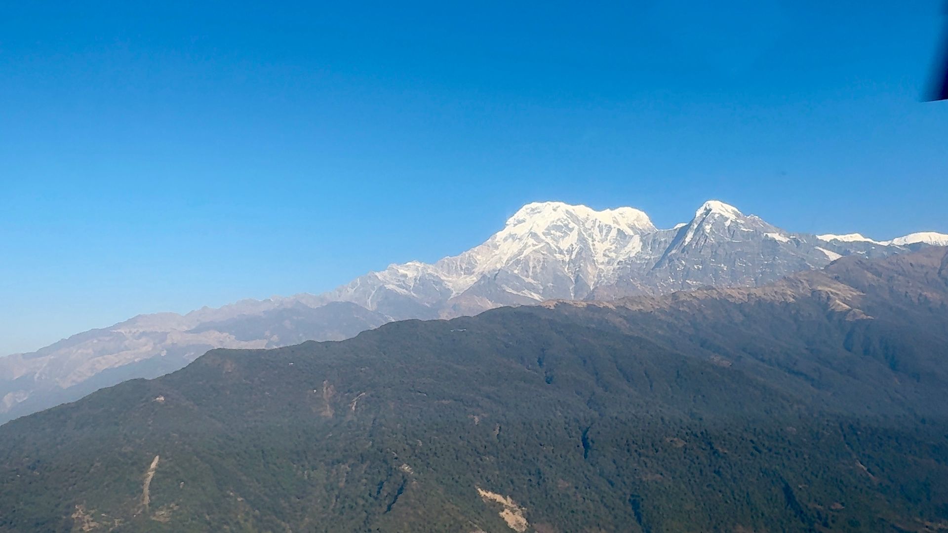
Village
कागबेनी
2,810 m
Kagbeni is a medieval village of mud-brick houses at the confluence of the Kali Gandaki and Jhong Khola. It marks the boundary of restricted Upper Mustang, and its red Kag Chode monastery dates to the 15th century. Upper Mustang treks begin here, with permits checked at the checkpoint.
Read place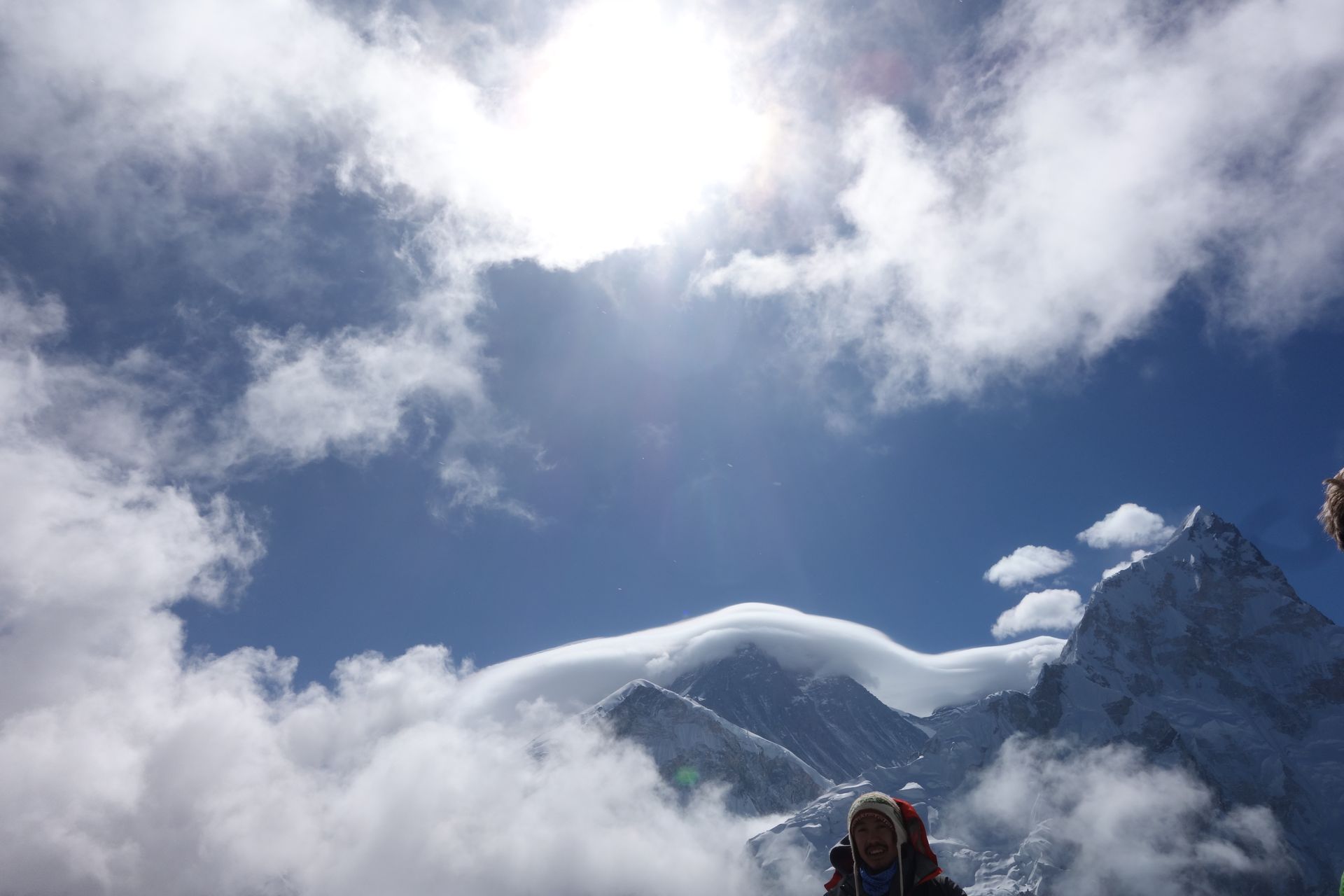
Viewpoint
काला पत्थर
5,545 m
Kala Patthar, meaning “black rock”, is a brown ridge above Gorak Shep and the highest point of most Everest Base Camp treks. It gives the closest full view of Everest’s summit pyramid available to trekkers.
Read place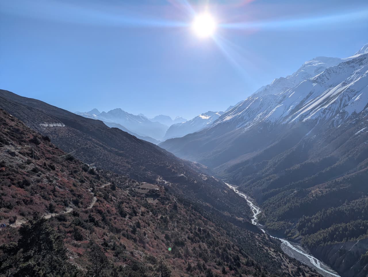
River
काली गण्डकी
500 m
The Kali Gandaki rises near the Tibetan border north of Lo Manthang and cuts between Dhaulagiri and Annapurna, forming one of the deepest gorges on Earth. Its riverbed is a source of ammonite fossils called shaligram, sacred to Hindus. The Annapurna Circuit and Mustang treks follow it for days.
Read place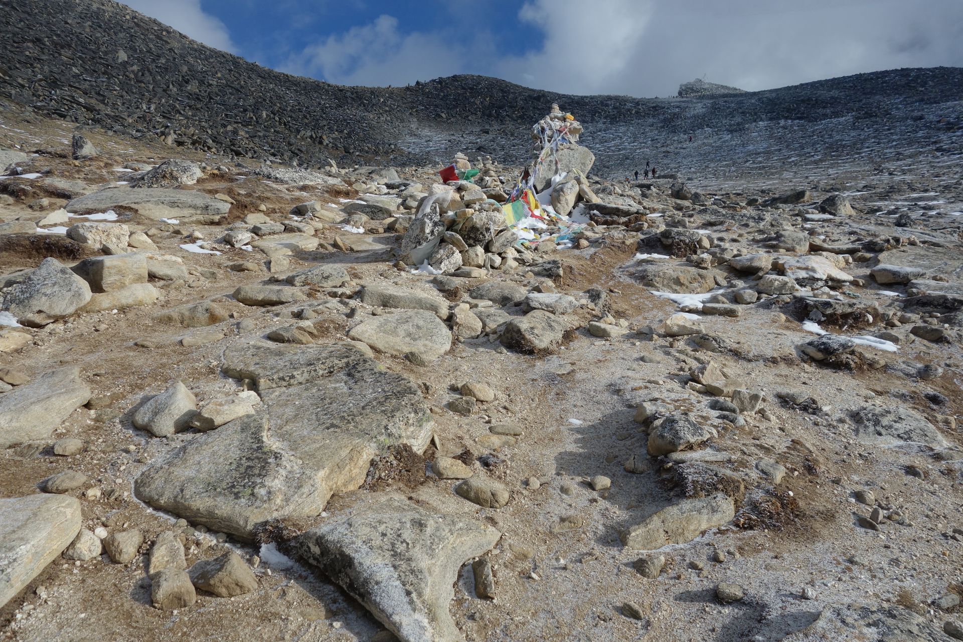
Religious site
कालिञ्चोक भगवती
3,842 m
Kalinchowk Bhagwati is a sacred hilltop temple in Dolakha, reached by a short hike or cable car. It offers views of Gaurishankar, Langtang and Rolwaling. It is popular in winter for snow.
Read place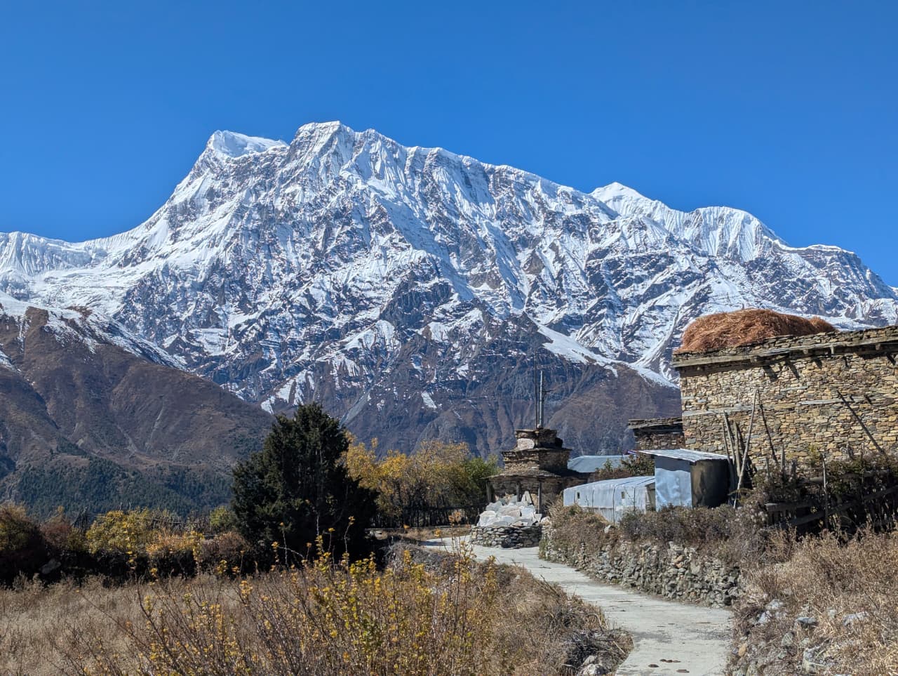
Village
कालोपानी
2,530 m
Kalopani is a Thakali village in the Kali Gandaki valley between Dhaulagiri and Annapurna, with famous views of both. Its name means “black water”. It is a stop on the Annapurna Circuit and Lower Mustang treks.
Read place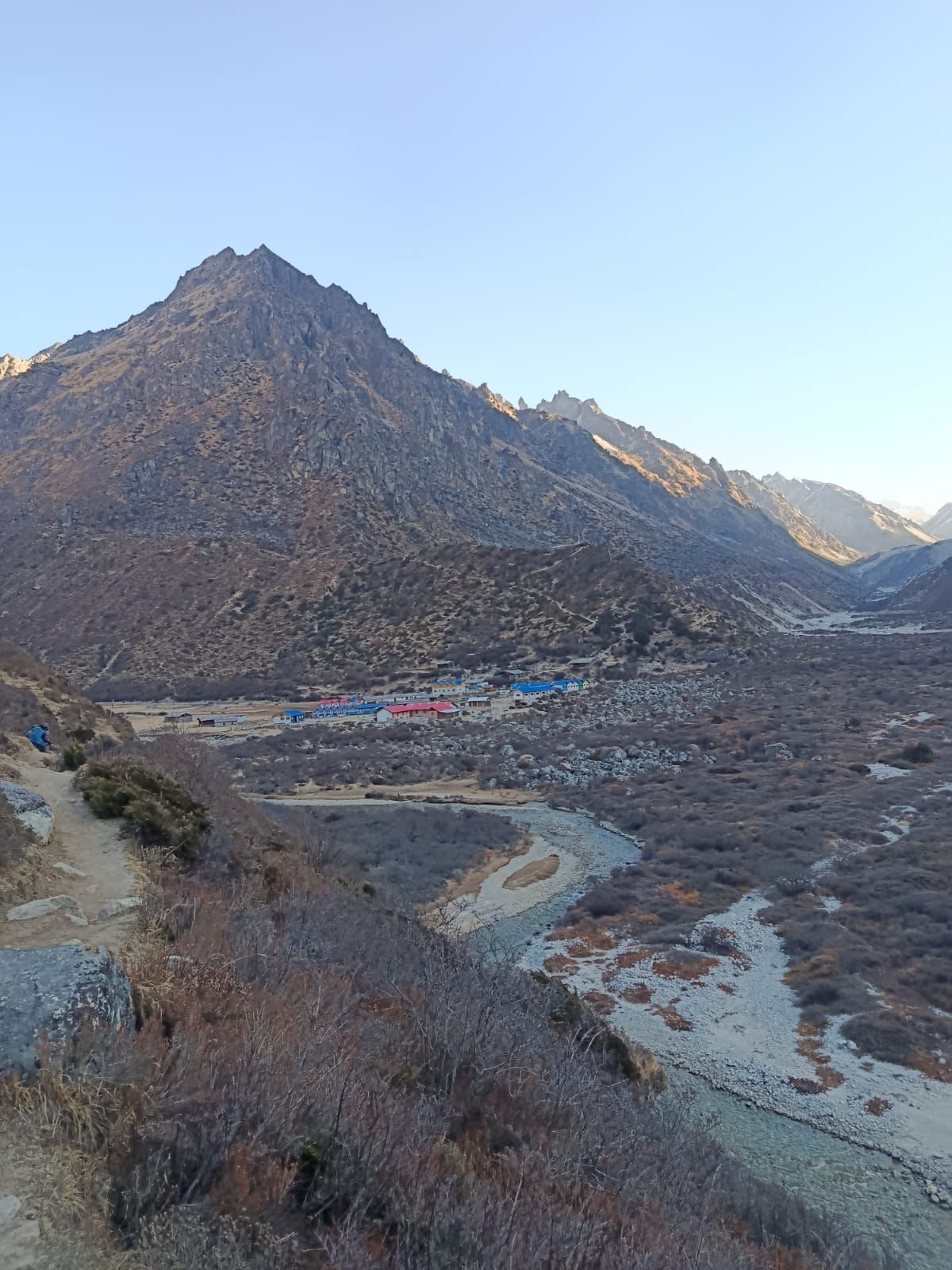
Village
Khambachen
4,145 m
Kambachen at 4,145 m is a remote high-altitude settlement on the Kanchenjunga North Base Camp route, surrounded by dramatic alpine landscapes and views toward Jannu.
Read place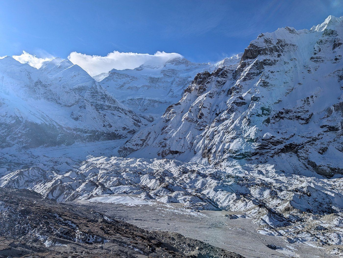
Glacier
4,800 m
The Kanchenjunga Glacier flows west from the north face of Kanchenjunga past Pangpema, the North Base Camp. Its rubble-covered surface feeds the Ghunsa River.
Read place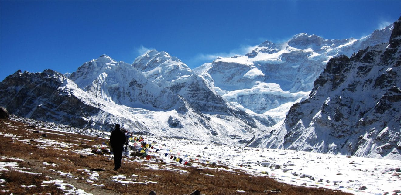
Base camp
Pangpema
5,140 m
Pangpema, at approximately 5,140m, is the North Base Camp of Kanchenjunga, offering spectacular views of the mountain's immense northern face and surrounding glaciers.
Read place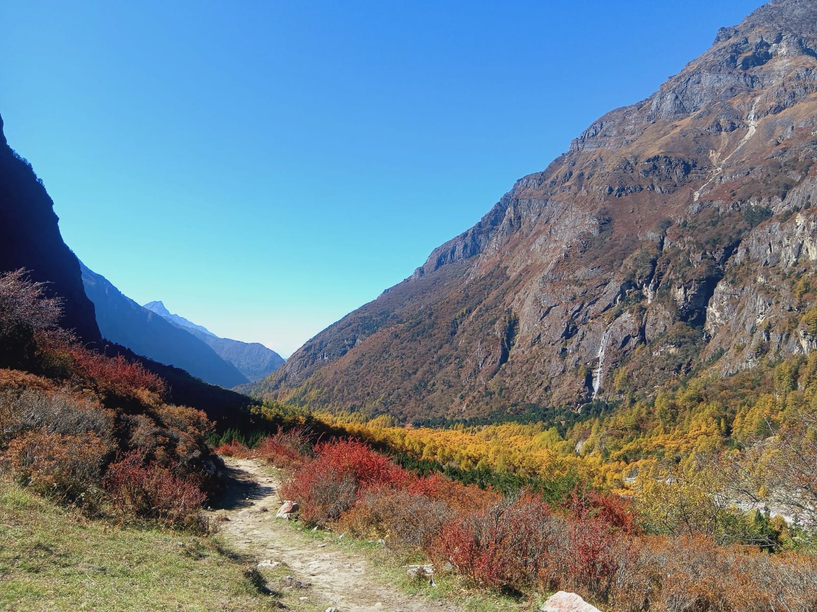
Valley
1,500 m
The Kanchenjunga valleys are the river valleys on the Nepal side of Kanchenjunga, the world’s third-highest mountain. The northern route follows the Tamor and Ghunsa valleys, the southern route the Simbua and Yalung valleys.
Read place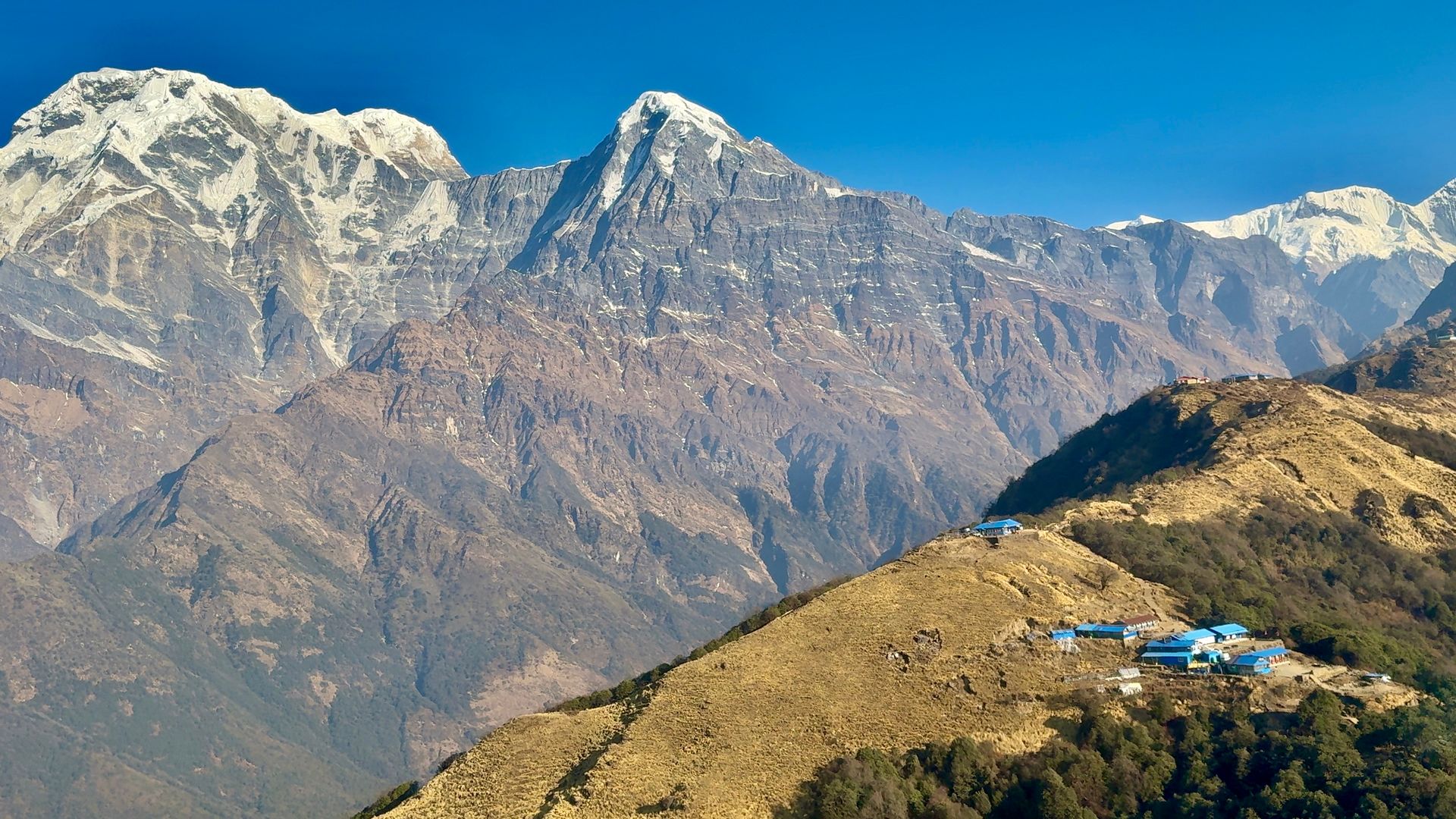
Village
कान्डे
1,770 m
Kande is a roadside village on the Pokhara–Baglung highway, about an hour’s drive from Pokhara, where many Mardi Himal and short Annapurna treks begin. From here a short climb leads up to Australian Camp.
Read place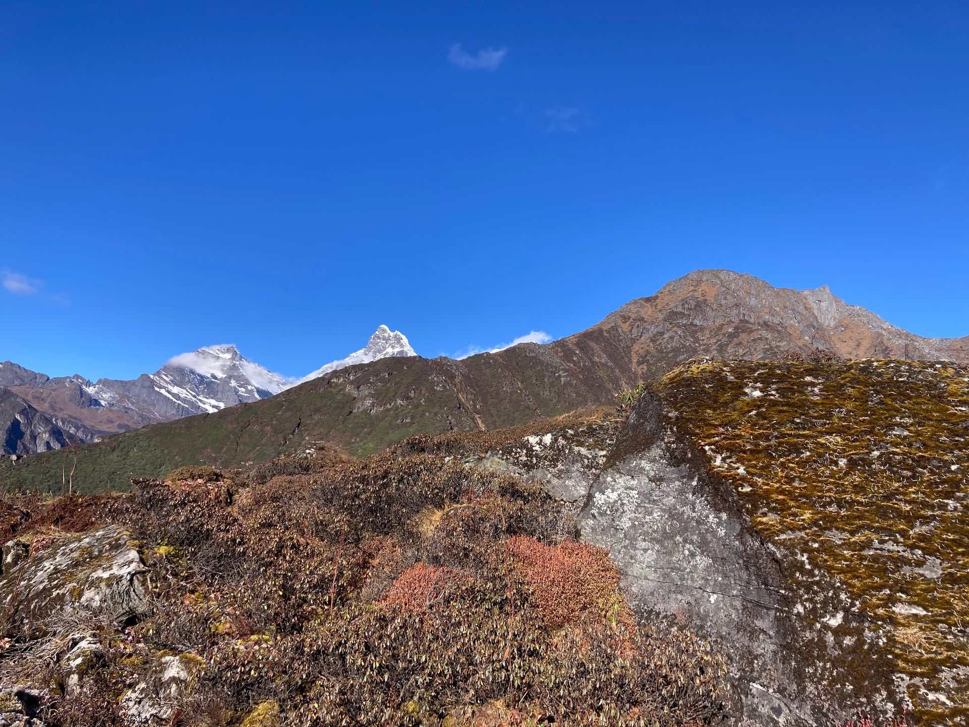
Pass
काङ ला
5,360 m
Kang La is a high pass in Upper Dolpo linking Phoksundo Lake with Shey Gompa. The climb is steep and long. The top looks out over the barren mountains of Dolpo.
Read place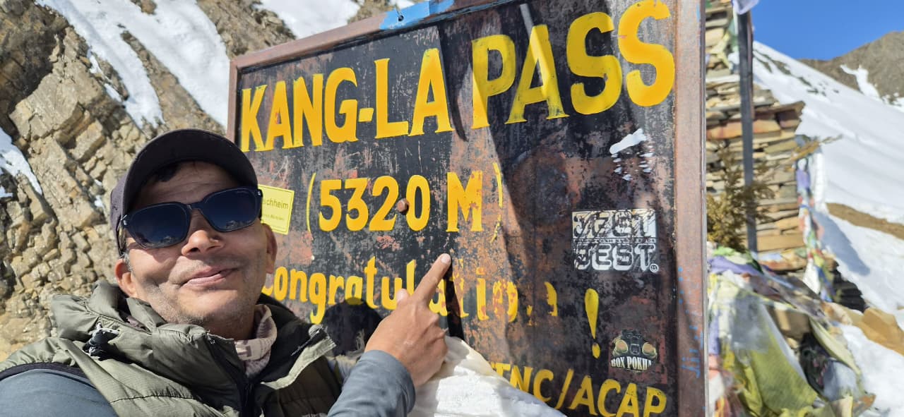
Pass
काङ ला
5,320 m
Kang La is the high pass between Nar and Ngawal, linking the Nar Phu valley back to the Annapurna Circuit. The top gives a sweeping view of Annapurna II, III and IV and Gangapurna. The descent to Ngawal is steep and loose.
Read place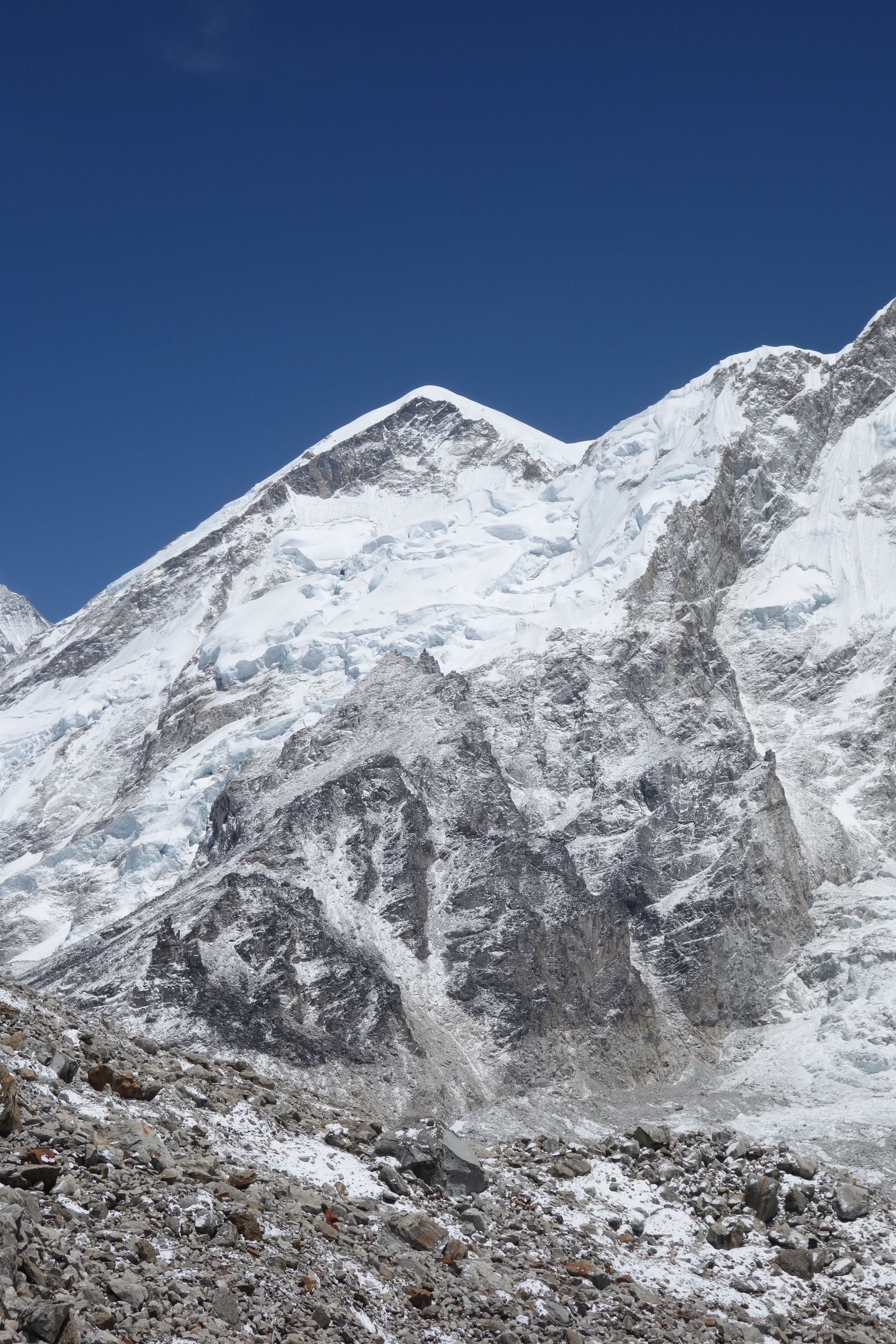
Mountain peak
काङतेगा
6,782 m
Kangtega is a 6,782 m peak east of Namche Bazaar, its double summit known as the “snow saddle”. It is a beautiful sight from Tengboche and Namche. It stands beside Thamserku.
Read placeMountain range
कान्जिरोबा हिमाल
6,883 m
The Kanjiroba Himal is a remote range in western Nepal between Dolpo and Jumla, topped by Kanjiroba at 6,883 m. It is seen from Dolpo’s high passes and from Murma Top above Rara Lake.
Read place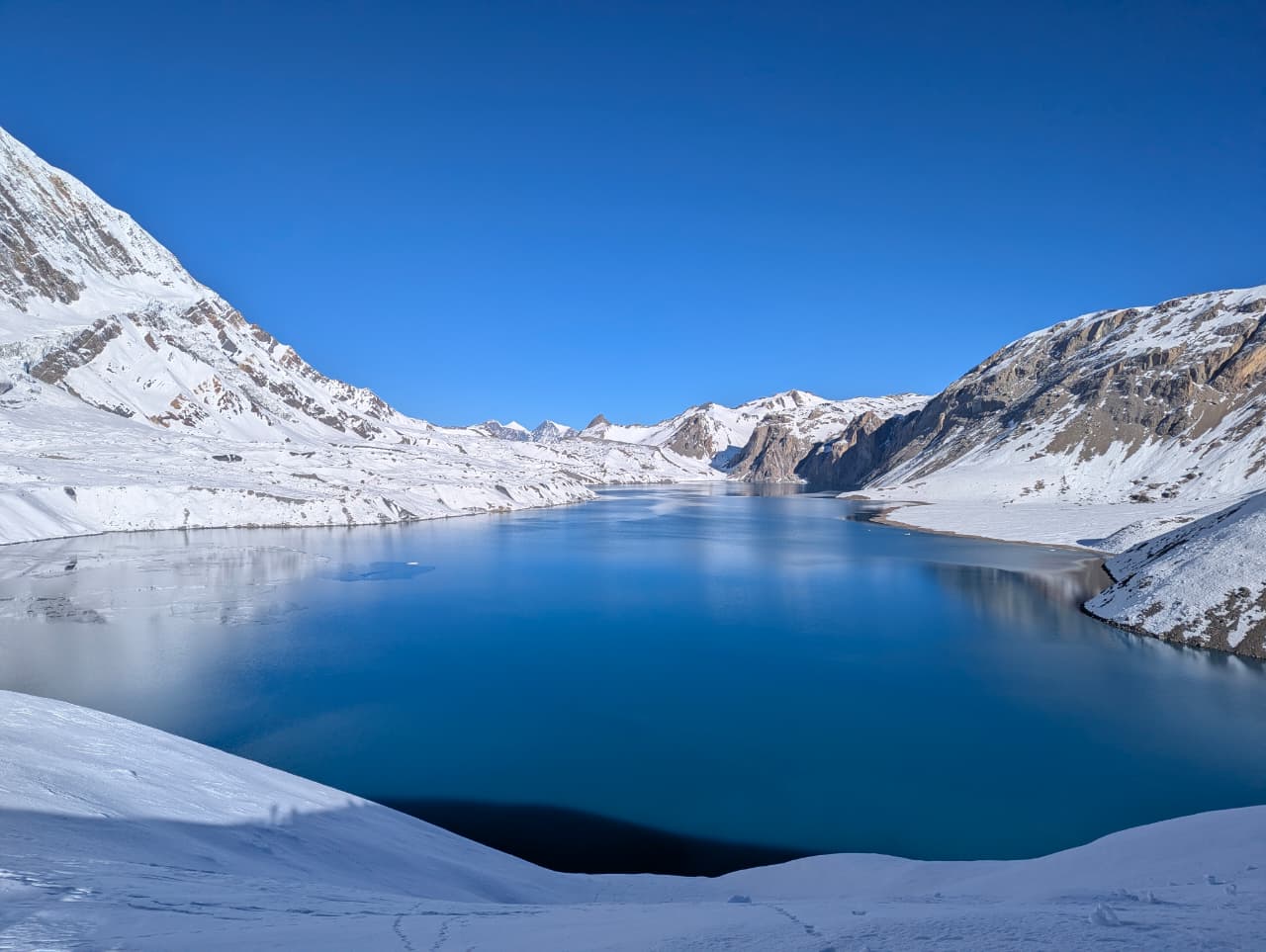
Lake
कपुचे ताल
2,546 m
Kapuche Lake is a glacial lake beneath Annapurna IV and Annapurna II, often described as the lowest glacial lake in Nepal. Icebergs float in it below the glacier. It is a camping trek from Sikles through remote forest.
Read place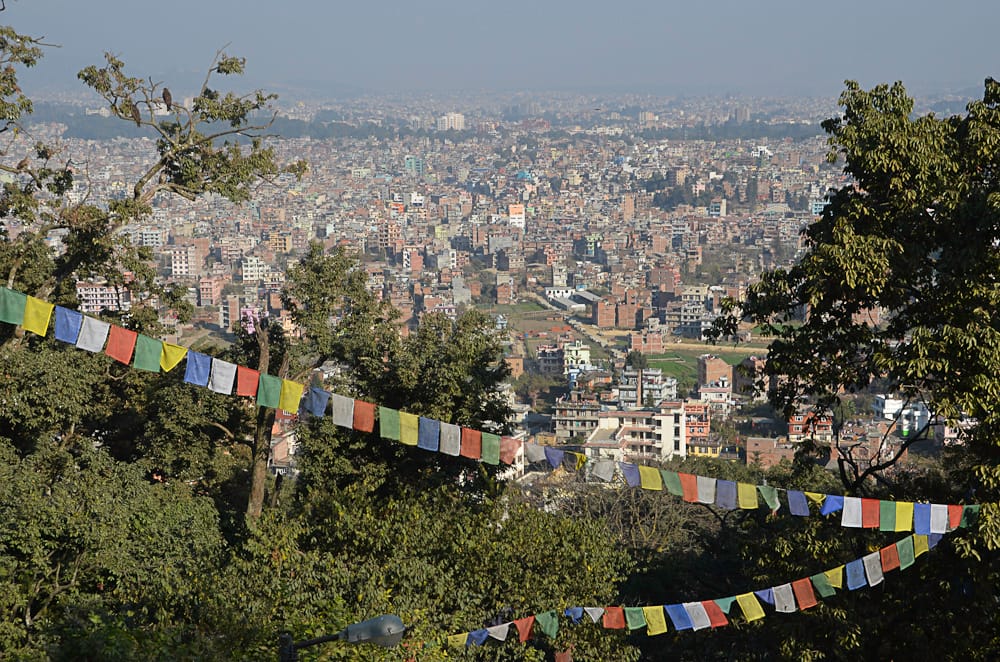
Town / city
काठमाडौं
1,400 m
Kathmandu is Nepal’s capital and the starting and finishing point for almost every trek in the country. Most trekkers spend a day or two here arranging permits, gear and domestic flights before heading to the mountains.
Read place
Town / city
खाँदबारी
1,040 m
Khandbari is the district headquarters of Sankhuwasabha, on a ridge above Tumlingtar. It is the last large town before the Makalu region. It has shops, banks and lodges.
Read place
Village
खाङसार
3,734 m
Khangsar is an old Gurung and Tibetan village west of Manang on the route to Tilicho Lake. Its narrow lanes and old gompa give a sense of traditional Manang life. Trekkers pass through on the way to Shree Kharka and Tilicho Base Camp.
Read place

