

Mountain peak
Kangtega
काङतेगा
Kangtega is a 6,782 m peak east of Namche Bazaar, its double summit known as the “snow saddle”. It is a beautiful sight from Tengboche and Namche. It stands beside Thamserku.
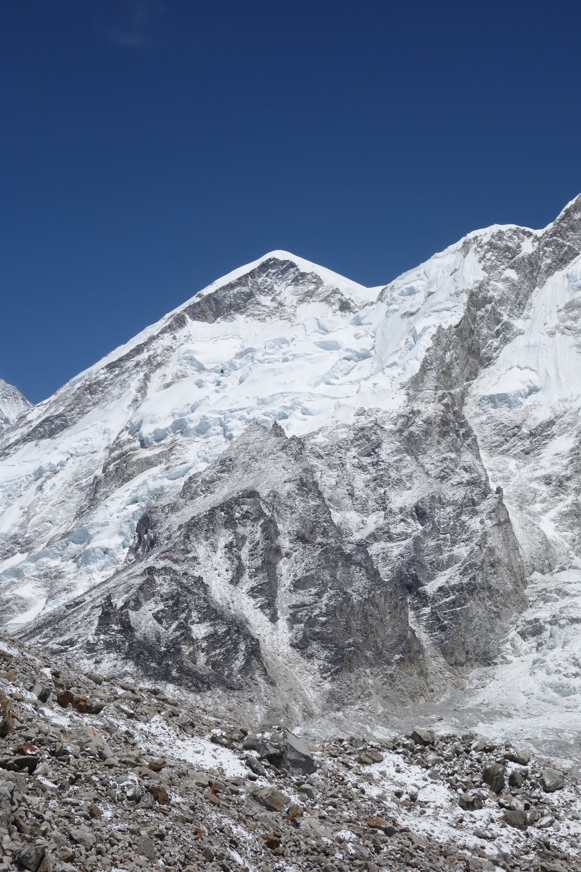
- Summit: 6,782 m / 22,251 ft
- Type: Mountain
- Region: Everest Region
- District: Solukhumbu
- Known as the “snow saddle”
- Treks: Everest Base Camp Trek, Everest View Trek, Gokyo Lakes Trek
About Kangtega
Kangtega, also known as Kantega, is a magnificent snow-covered mountain in the Khumbu region of Solukhumbu District, Koshi Province, Nepal. Rising to approximately 6,782 metres (22,251 feet) above sea level, it is one of the prominent peaks of the Mahalangur Himal. The mountain is recognised for its distinctive saddle-shaped summit, steep ridges and dramatic glacial slopes.
Kangtega is often called The Snow Saddle because of its characteristic summit shape. It stands near Thamserku, with the two mountains forming an impressive Himalayan skyline above the valleys of the Khumbu region. Trekkers can admire Kangtega from places such as Namche Bazaar, Khumjung, Phortse and Dole, while experienced mountaineers are drawn to its challenging climbing routes.
Location and Altitude
- Location: Khumbu region, Solukhumbu District, Nepal
- Province: Koshi Province
- Mountain range: Mahalangur Himal, Himalayas
- Elevation: 6,782 m (22,251 ft)
- Coordinates: Approximately 27°47′00″ N, 86°49′00″ E
- Prominence: Approximately 592 m
- Other name: Kantega
- Nickname: The Snow Saddle
- First ascent: 1963
- Nearby mountain: Thamserku
Geography and Mountain Formation
Kangtega is part of the high Himalayan mountain system in eastern Nepal. Its distinctive summit forms a broad, saddle-like shape, rising above the surrounding valleys and glaciers. The mountain is connected to the neighbouring Thamserku massif by a prominent ridge, creating a dramatic landscape in the eastern Khumbu.
Like other Himalayan peaks, Kangtega was shaped by the collision of the Indian and Eurasian tectonic plates. Glacial erosion, snowfall and extreme weather have gradually formed its steep faces, rocky ridges and snow-covered upper slopes.
Meaning and Name of Kangtega
Kangtega is also known as The Snow Saddle, a name inspired by the distinctive saddle-shaped appearance of its summit. The mountain is sometimes spelled Kantega in mountaineering and geographical records. Its impressive profile makes it a recognisable landmark in the Khumbu and Hinku Valley landscapes.
First Ascent of Kangtega
Kangtega was first successfully climbed in 1963 by a British-New Zealand-American expedition led by Sir Edmund Hillary. The summit team included David Dornan, Tom Frost, Michael Gill and Jim Wilson. This successful ascent became an important achievement in the mountaineering history of the Khumbu Himalayas.
Later expeditions explored different faces and ridges of the mountain. In 1986, climbers Alison Hargreaves, Marc Twight, Tom Frost and Jeff Lowe completed a difficult new route on the northwest ridge, demonstrating the technical challenges of Kangtega.
Climbing Kangtega
Climbing Kangtega is a challenging high-altitude mountaineering expedition. Its steep faces, exposed ridges, snow and ice slopes require strong technical climbing ability and previous Himalayan experience.
Expeditions generally approach the mountain through the Khumbu region, using the trekking corridor from Lukla and Namche Bazaar before continuing towards a suitable base camp. The climbing route requires careful planning and experienced expedition support.
Important considerations include:
- Previous experience with technical alpine and high-altitude climbing.
- Proper acclimatisation before attempting the summit.
- Glacier travel skills and knowledge of crevasse safety.
- Technical equipment, including ropes, harnesses, crampons and ice axes.
- Professional guides and expedition support.
- Careful monitoring of avalanche risks and changing weather conditions.
Kangtega is not a beginner's trekking destination. Its summit should only be attempted by suitably experienced climbers with professional support and the required climbing permissions.
Trekking Routes and Viewpoints Around Kangtega
Although reaching the summit requires technical mountaineering skills, trekkers can enjoy magnificent views of Kangtega from several popular destinations in the Everest region.
- Namche Bazaar: A major Sherpa settlement with beautiful views of the surrounding mountain peaks.
- Khumjung: A traditional Sherpa village offering an impressive mountain setting and views towards Kangtega.
- Phortse: A scenic village on the trekking routes connecting Everest Base Camp and the Gokyo Valley.
- Dole: A popular overnight stop on the Gokyo trekking route, surrounded by impressive mountain scenery.
- Mong La: A mountain pass between Namche and Phortse, offering panoramic views of the Khumbu peaks.
- Tengboche: A famous monastery settlement with spectacular views of the surrounding Himalayan landscape.
These destinations allow visitors to experience the beauty of Kangtega without undertaking a technical climbing expedition.
Tea Houses and Accommodation Near Kangtega
There are no permanent tea houses, hotels or lodges on Kangtega itself because its upper slopes consist of steep rock, snow and glacial terrain. Mountaineering expeditions use temporary tented camps for accommodation and climbing support.
Trekkers who want to enjoy views of Kangtega can stay in nearby settlements:
- Namche Bazaar: Offers a wide selection of hotels, lodges, restaurants and trekking facilities.
- Khumjung: Has local tea houses and lodges in a traditional Sherpa village setting.
- Phortse: Provides community-based lodges and basic tea houses for trekkers.
- Dole: Offers simple mountain accommodation along the Gokyo Valley route.
- Tengboche: Has basic lodge accommodation near the famous Tengboche Monastery.
Namche Bazaar is generally the most convenient base for visitors looking for a wider choice of accommodation and trekking services.
Nature and Landscape of Kangtega
Kangtega is surrounded by a dramatic Himalayan environment featuring snow-covered peaks, glaciers, rocky ridges and green valleys. Its landscape changes with altitude, from forested lower slopes to the snow and ice of the upper mountain.
- Snow-covered summit: The upper mountain features extensive snow and ice, creating its distinctive white appearance.
- Glacial landscape: Ice and snowfields shape the surrounding high-altitude terrain.
- Rhododendron forests: Lower trekking trails around Namche, Khumjung and Phortse include beautiful Himalayan woodland.
- Alpine vegetation: Juniper, grasses and hardy mountain plants grow in the higher valleys.
- Himalayan wildlife: The wider Sagarmatha National Park supports wildlife such as musk deer, Himalayan tahr and snow leopard.
- Mountain panoramas: Kangtega forms a striking skyline alongside Thamserku and other peaks of the Khumbu region.
Best Time to Visit Kangtega
The best seasons to visit the Khumbu region for views of Kangtega are spring (March to May) and autumn (September to November).
Spring brings warmer daytime temperatures, fresh vegetation and blooming rhododendrons in the lower forests. Autumn is popular for its clear skies, crisp mountain air and excellent visibility.
For mountaineering, spring is a commonly preferred season, although the actual climbing window depends on snow conditions, weather forecasts and expedition planning. Winter brings extreme cold and strong winds, while the monsoon season can cause heavy cloud cover, rainfall and difficult trekking conditions.
Main Attractions of Kangtega
- The Snow Saddle Summit: Admire the mountain's distinctive saddle-shaped summit and dramatic Himalayan profile.
- Views from Namche Bazaar: Enjoy mountain panoramas from one of the main settlements of the Everest region.
- Thamserku Ridge Connection: Observe the impressive mountain formation linking Kangtega with neighbouring Thamserku.
- Traditional Sherpa Villages: Explore Khumjung and Phortse while enjoying the surrounding mountain scenery.
- Dole and Gokyo Trekking Route: Experience spectacular views of Kangtega from the upper Khumbu trails.
- Mountaineering History: Learn about the first ascent in 1963 and later technical climbing achievements.
Nearby Mountains and Places to Explore
- Thamserku: A 6,623-metre Himalayan peak connected to Kangtega by a ridge.
- Kusum Kangguru: A technically challenging mountain south of the Namche region.
- Namche Bazaar: The main Sherpa trading and trekking centre of the Khumbu region.
- Khumjung: A traditional Sherpa village surrounded by Himalayan peaks.
- Phortse: A picturesque mountain settlement connecting the Everest and Gokyo trekking routes.
- Dole: A quiet mountain village on the way to Gokyo Lakes.
- Tengboche: A famous Himalayan settlement known for its monastery and mountain views.
Where is Kangtega?
The exact point on the Himalaya trail, with nearby places for context.
On this map
Nearby places
Mountain peak
Thamserku
थाम्सेर्कु
6,623 m
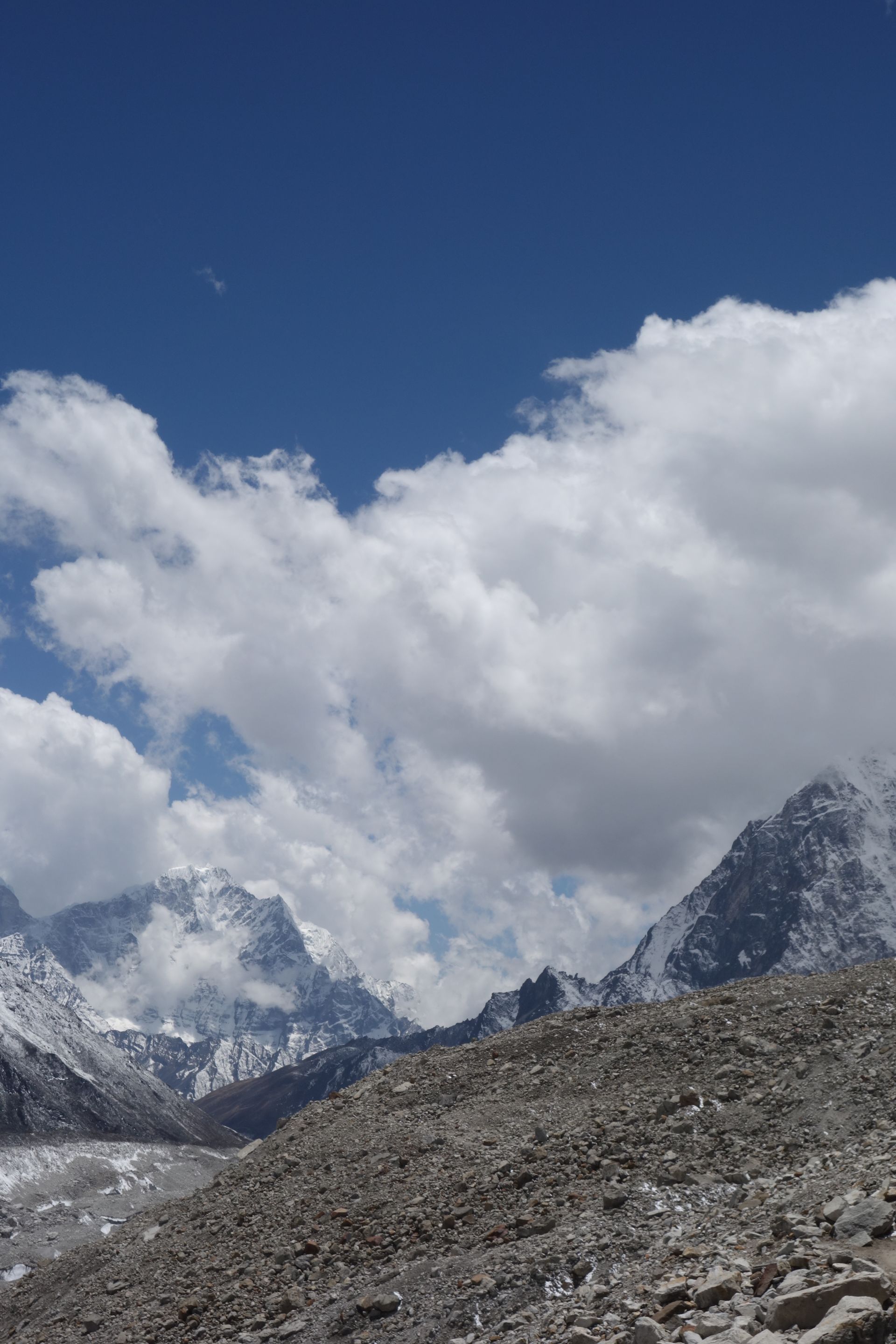
Thamserku is a 6,623 m peak that towers over Namche Bazaar to the east. Its icy ridges are a constant presence on the first days of the Everest trek. It is often seen together with neighbouring Kangtega.
Read place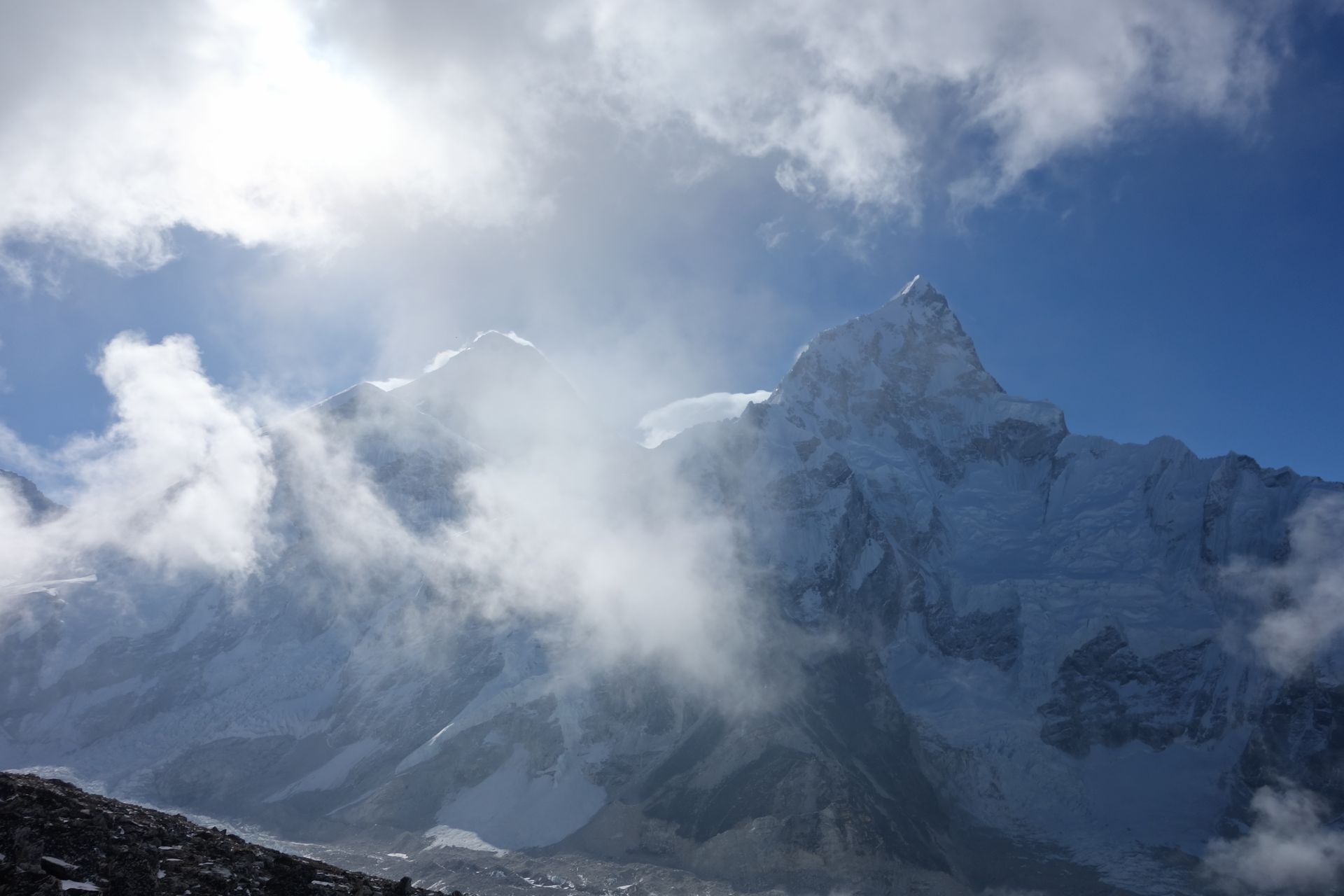
Village
Tengboche
तेङबोचे
3,867 m
Tengboche is a ridge-top settlement best known for its monastery, with one of the most celebrated mountain views in Nepal: Ama Dablam, Everest, Lhotse and Nuptse rising beyond a forest of rhododendron.
Read place