

Mountain peak
Thamserku
थाम्सेर्कु
Thamserku is a 6,623 m peak that towers over Namche Bazaar to the east. Its icy ridges are a constant presence on the first days of the Everest trek. It is often seen together with neighbouring Kangtega.
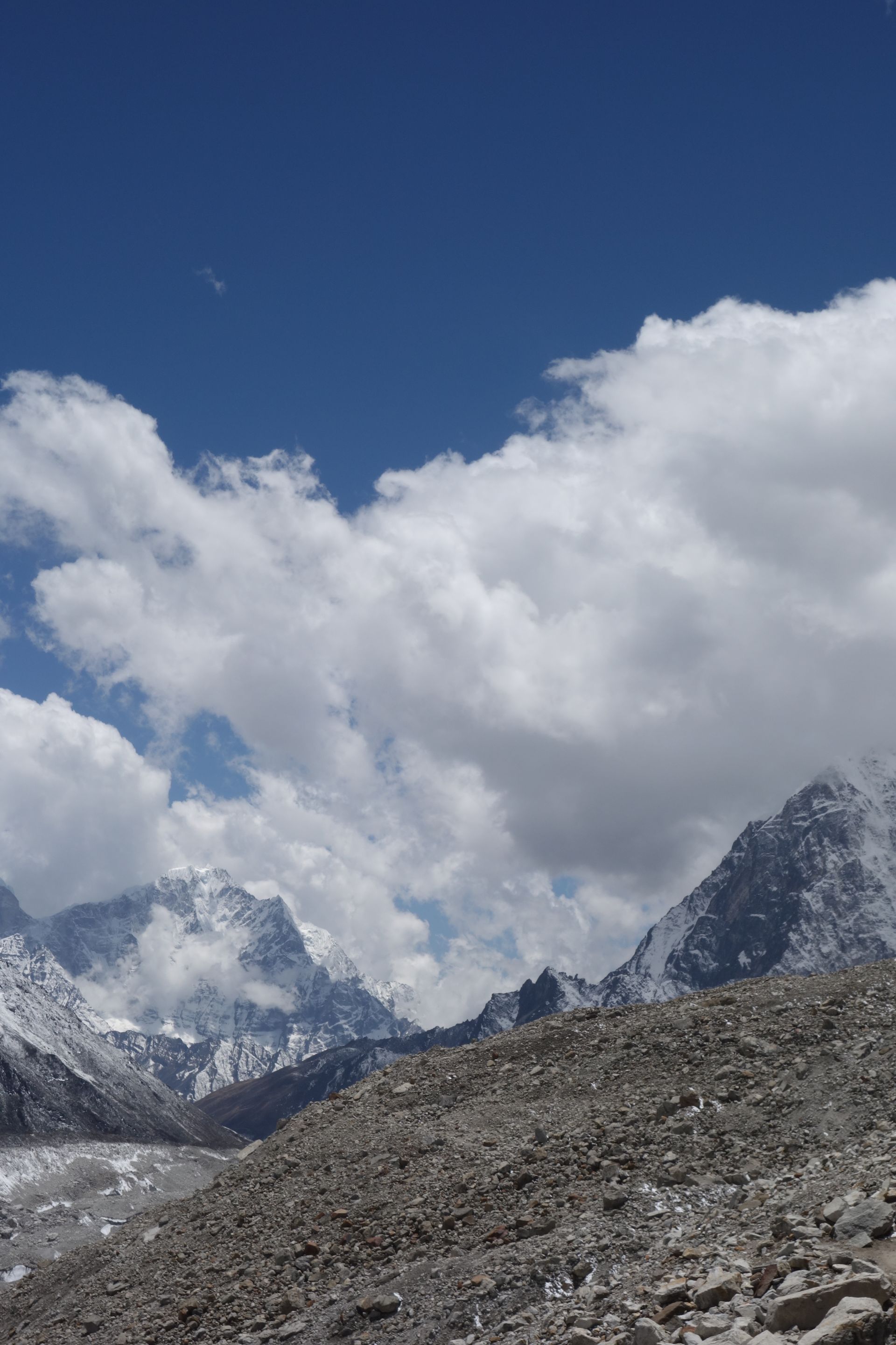
- Summit: 6,623 m / 21,729 ft
- Type: Mountain
- Region: Everest Region
- District: Solukhumbu
- Treks: Everest Base Camp Trek, Everest View Trek, Gokyo Lakes Trek
About Thamserku
Thamserku is a striking snow-covered mountain in the Khumbu region of Solukhumbu District, Koshi Province, Nepal. Rising to approximately 6,623 metres (21,729 feet) above sea level, it belongs to the Himalayan mountain system and stands east of Namche Bazaar. Its steep faces, sharp ridges and dramatic summit make it one of the most recognisable peaks along the Everest trekking region.
Thamserku is connected by a mountain ridge to neighbouring Kangtega and lies north of Kusum Kangguru. Its impressive profile can be seen from several popular trekking destinations, including Namche Bazaar, Khumjung, Phortse and Dole. Although many trekkers admire the mountain during the Everest Base Camp journey, reaching its summit is a demanding technical mountaineering challenge requiring considerable climbing experience.
Location and Altitude
- Location: Khumbu region, Solukhumbu District, Nepal
- Province: Koshi Province
- Mountain range: Himalayas, Khumbu region
- Elevation: Approximately 6,623 m (21,729 ft)
- Coordinates: 27.7903° N, 86.7875° E
- Prominence: Approximately 689 m
- Nearest major settlement: Namche Bazaar
- Nearby mountains: Kangtega and Kusum Kangguru
- First ascent: 1964
Geography and Mountain Formation
Thamserku is part of the rugged Himalayan landscape of eastern Nepal. Its steep mountain walls, snow-covered slopes and prominent ridgelines rise above the valleys east of Namche Bazaar. The mountain is connected to Kangtega by a ridge, creating an impressive mountain formation along the eastern side of the Khumbu trekking region.
Like other Himalayan peaks, Thamserku was formed through the collision of the Indian and Eurasian tectonic plates. Over millions of years, geological uplift, glacial erosion, snow and ice have shaped its steep faces and surrounding valleys.
First Ascent of Thamserku
Thamserku was first successfully climbed in 1964 by members of Edmund Hillary's Himalayan Schoolhouse Expedition. The summit team consisted of Lynn Crawford, Peter Farrell, John McKinnon and Richard Stewart.
The climbers approached from the south and reached the south ridge after negotiating a difficult couloir below the southwest face. The original route was described as challenging, and its full line has remained rarely repeated. In 2014, Russian climbers Alexander Gukov and Alexey Lonchinskiy achieved the first ascent of the mountain's southwest face through a separate technical route.
Climbing Thamserku
Climbing Thamserku is a serious high-altitude mountaineering undertaking. Despite being lower than many famous Himalayan giants, its steep faces, exposed ridges, snow and ice sections make it technically demanding.
The traditional climbing approach involves reaching the mountain from the Khumbu region and establishing an expedition base camp. Climbers must be prepared for glacier travel, steep snow and ice climbing, crevasses and unpredictable Himalayan weather.
Essential considerations include:
- Previous experience on technical alpine and Himalayan climbs.
- Proper acclimatisation to high altitude.
- Professional guides and experienced expedition support.
- Technical equipment such as crampons, ice axes, ropes and harnesses.
- Careful assessment of avalanche conditions and weather forecasts.
Thamserku is not a beginner's trekking peak. Climbers should undertake the expedition only with suitable experience, professional support and the required climbing permissions
Trekking Routes and Viewpoints Around Thamserku
Trekkers do not need to climb Thamserku to enjoy its magnificent scenery. Several popular trails and villages in the Khumbu region provide excellent views of the mountain.
- Namche Bazaar: Offers impressive views of Thamserku from different parts of the Sherpa town.
- Khumjung: A traditional Sherpa village with beautiful mountain scenery and views towards Thamserku.
- Phortse: A scenic mountain settlement on the Everest and Gokyo trekking routes.
- Dole: A popular overnight stop on the Gokyo Valley trail, with views of Thamserku and Kangtega.
- Tengboche: Known for its monastery and panoramic mountain surroundings.
- Everest Base Camp Trek: Trekkers can admire Thamserku during sections of the journey through the lower and central Khumbu region.
Tea Houses and Accommodation Near Thamserku
There are no permanent tea houses or hotels on Thamserku itself because its upper slopes consist of steep rock, snow and glacial terrain. Mountaineering expeditions use temporary tented camps for accommodation and climbing support.
Trekkers wishing to enjoy views of Thamserku can stay in nearby villages:
- Namche Bazaar: Offers a wide range of hotels, lodges, restaurants and trekking facilities.
- Khumjung: Provides local lodges and tea houses in a traditional Sherpa village setting.
- Phortse: Has community-based lodges and tea houses for trekkers.
- Dole: Offers basic mountain accommodation along the Gokyo trekking route.
- Tengboche: Provides simple lodge accommodation near the famous monastery.
Namche Bazaar is generally the most convenient base for visitors who want a broader selection of accommodation and services.
Nature and Landscape of Thamserku
Thamserku is surrounded by a dramatic Himalayan environment featuring glaciers, rugged ridges, alpine vegetation and forested valleys. Its landscape changes significantly with elevation, from green woodland in the lower Khumbu to bare rock, snow and ice near the summit.
- Snow-covered slopes: The mountain's upper elevations remain covered by snow and ice for much of the year.
- Glacial terrain: Ice, snowfields and glacially shaped valleys form part of the surrounding landscape.
- Rhododendron forests: Lower trekking areas around Namche, Khumjung and Dole contain Himalayan woodland, including rhododendron.
- Alpine vegetation: Juniper, grasses and hardy mountain plants grow in higher areas where conditions permit.
- Himalayan wildlife: The wider Sagarmatha National Park supports species such as musk deer, Himalayan tahr and snow leopard.
- Mountain panoramas: The mountain forms an impressive skyline alongside Kangtega and other Khumbu peaks.
Best Time to Visit Thamserku
The best seasons to visit the Khumbu region for views of Thamserku are spring (March to May) and autumn (September to November).
Spring brings warmer daytime conditions, fresh vegetation and blooming rhododendrons in the lower forests. Autumn is popular for its clear skies, crisp mountain air and excellent Himalayan visibility.
For climbing expeditions, April and May are commonly considered suitable months, although the actual climbing window depends on snow conditions, weather and expedition planning. Winter brings extreme cold and strong winds, while the monsoon season can cause heavy cloud cover and difficult trekking conditions.
Main Attractions of Thamserku
- Dramatic Mountain Summit: Admire the sharp ridges and steep snow-covered faces of this 6,623-metre Himalayan peak.
- Views from Namche Bazaar: Enjoy one of the most recognisable mountain panoramas in the Khumbu region.
- Kangtega Ridge Connection: Observe the impressive mountain formation linking Thamserku with neighbouring Kangtega.
- Traditional Sherpa Villages: Explore Khumjung and Phortse while enjoying views of the surrounding mountains.
- Dole Mountain Scenery: Experience beautiful views of Thamserku and Kangtega from the Gokyo Valley trekking route.
- Mountaineering History: Learn about the 1964 first ascent and later technical climbing achievements.
Nearby Mountains and Places to Explore
- Kangtega: A prominent neighbouring Himalayan mountain connected to Thamserku by a ridge.
- Kusum Kangguru: A technically challenging mountain located south of Thamserku.
- Namche Bazaar: The main Sherpa trading and trekking centre of the Khumbu region.
- Khumjung: A traditional Sherpa village surrounded by spectacular mountain scenery.
- Phortse: A picturesque village connecting the Everest Base Camp and Gokyo trekking routes.
- Dole: A peaceful settlement on the route towards Gokyo Lakes.
- Tengboche: A famous mountain village known for Tengboche Monastery and panoramic Himalayan views.
Where is Thamserku?
The exact point on the Himalaya trail, with nearby places for context.
On this map
Nearby places
Town / city
Namche Bazaar
नाम्चे बजार
3,440 m
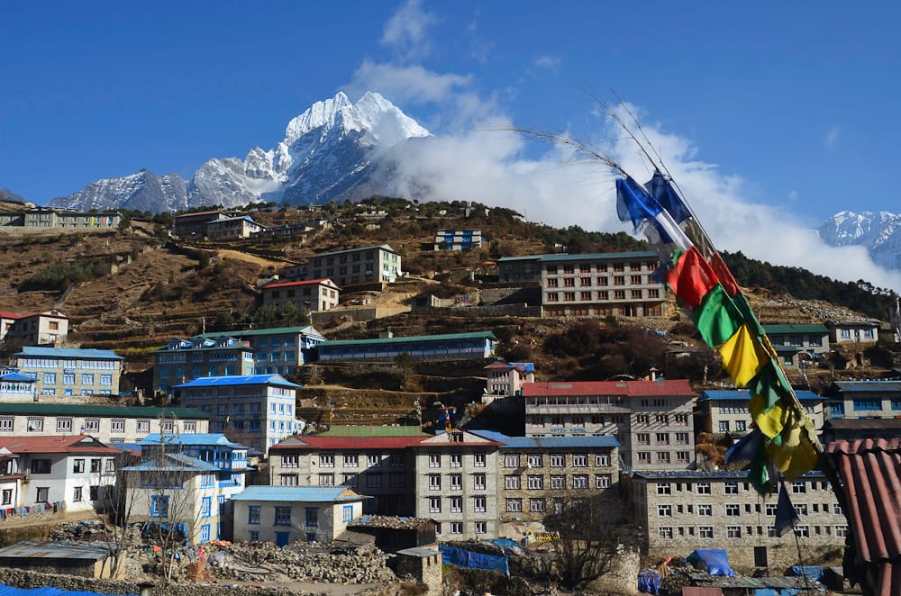
Namche Bazaar is the Sherpa capital of the Khumbu, a horseshoe-shaped town built into a hillside high above the Dudh Koshi. It is the region’s main trading hub, with lodges, bakeries, gear shops, banks and a Saturday market.
Read place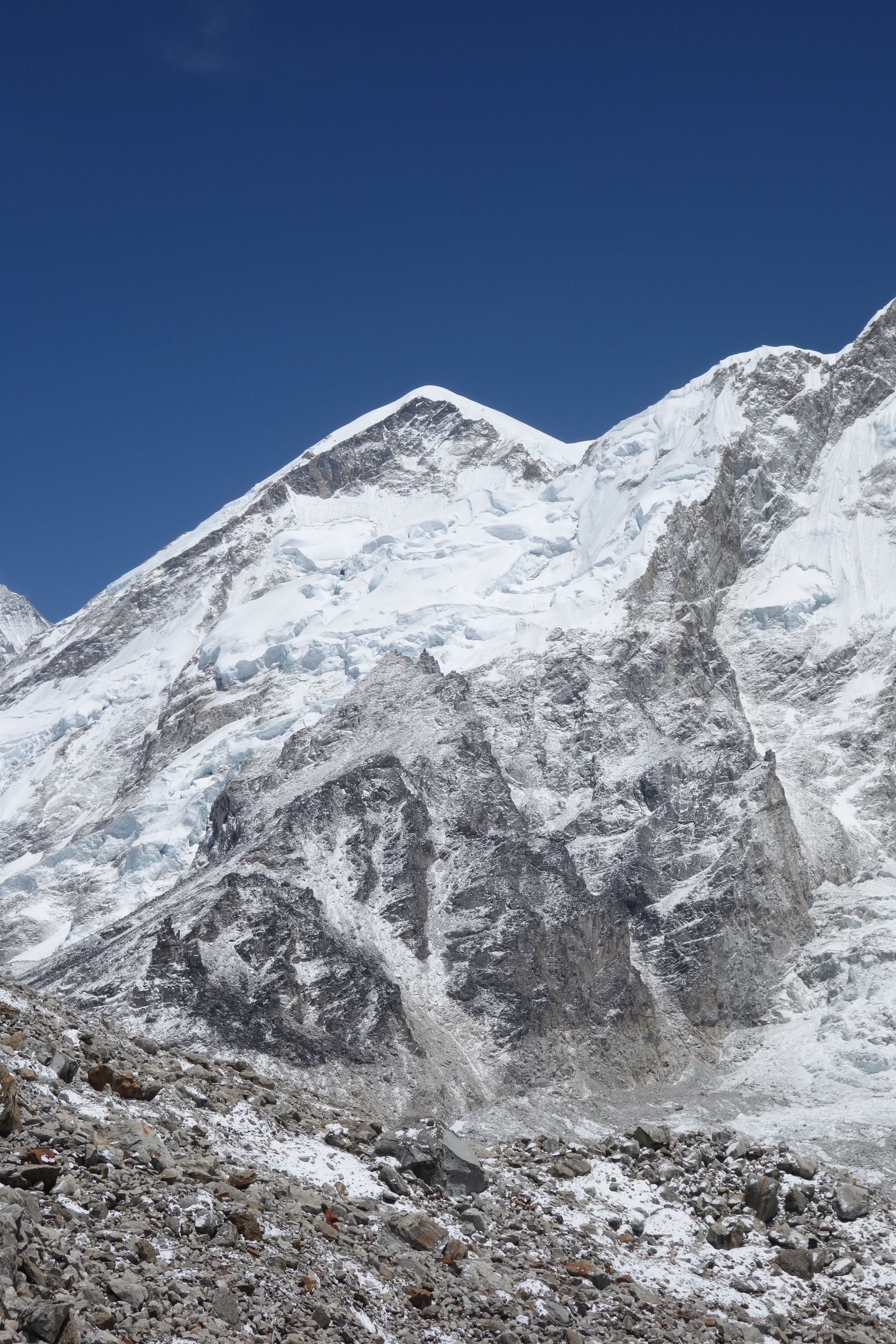
Mountain peak
Kangtega
काङतेगा
6,782 m
Kangtega is a 6,782 m peak east of Namche Bazaar, its double summit known as the “snow saddle”. It is a beautiful sight from Tengboche and Namche. It stands beside Thamserku.
Read place