

Airstrip / airport
Juphal
जुफाल
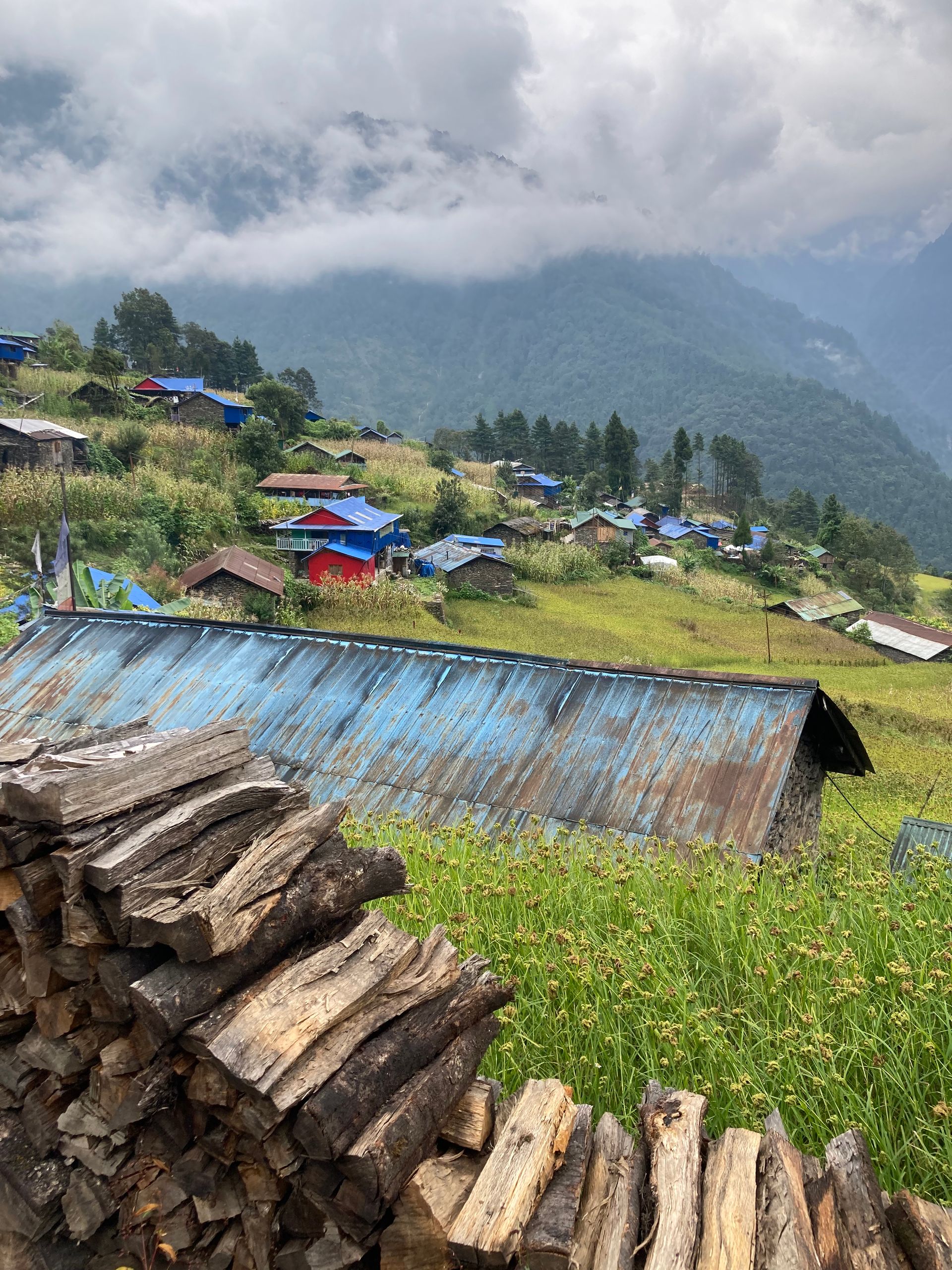
Juphal is the airstrip for Dolpo, reached by flights from Nepalgunj. It is the usual start and end of Dolpo treks. From here the trail descends to Dunai on the Thuli Bheri river.
- Elevation: ~2,475 m / 8,120 ft
- Type: Airport / airstrip
- Region: Dolpo Region
- District: Dolpa
- Airstrip with flights from Nepalgunj
- Treks: Upper Dolpo Trek, Lower Dolpo Trek, Shey Phoksundo Lake Trek
About Juphal
Juphal is the airstrip for Dolpo, reached by flights from Nepalgunj. It is the usual start and end of Dolpo treks.
From here the trail descends to Dunai on the Thuli Bheri river.
Location and altitude
Juphal sits at about 2,475 m (8,120 ft) in Dolpa district, in the Dolpo Region of Nepal. Nearby places include Dunai.
Treks that visit Juphal
Juphal is part of these Nepal Trek Services itineraries: Upper Dolpo Trek, Lower Dolpo Trek and Shey Phoksundo Lake Trek.
Best time to visit
Being in the Himalayan rain shadow, Juphal sees little monsoon rain, so it can be visited from spring through autumn (roughly April to November). Winter is very cold.
Where is Juphal?
The exact point on the Himalaya trail, with nearby places for context.
On this map
Nearby places
Town / city
Dunai
दुनै
2,140 m
Dunai is the district headquarters of Dolpa, on the Thuli Bheri river. Trekkers pass through on the way to Shey Phoksundo and Tarap. It has basic lodges and shops.
Read place