

Lake
Imja Tsho
इम्जा छो
Imja Tsho (5,010 m) is a glacial lake in the Khumbu, at the foot of the Imja and Lhotse Shar glaciers near Island Peak. Learn about its location, trekking routes and why it matters.
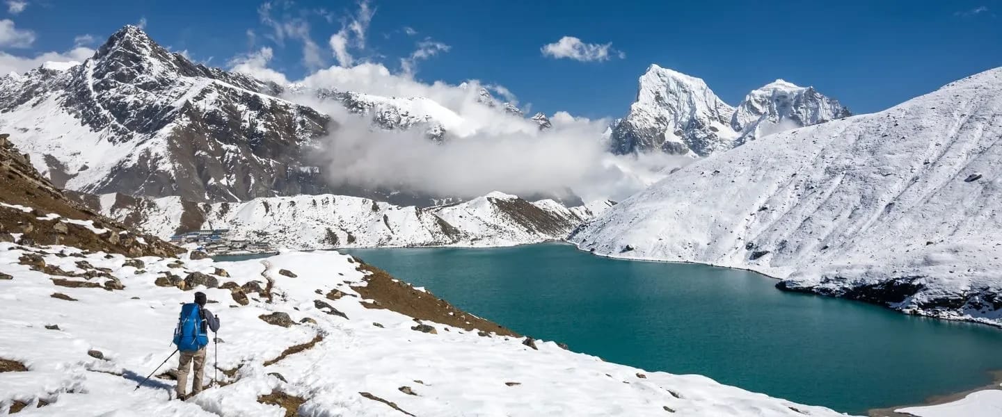
- Elevation: ~5,010 m / 16,437 ft
- Type: Lake
- Region: Everest Region
- District: Solukhumbu
- Monitored glacial lake; lowered by ~3.5 m in 2016
- Treks: Everest Three Passes Trek
About Imja Tsho (Imja Lake)
Imja Tsho is a beautiful and remarkable glacial lake located in the Khumbu region of northeastern Nepal. Situated at an elevation of approximately 5,010 metres (16,437 feet), Imja Tsho is one of the well-known high-altitude glacial lakes in the Everest region. Also known as Imja Lake or Imja Glacier Lake, it is formed by meltwater from the Imja and Lhotse Shar glaciers. The lake lies beneath the magnificent Himalayan peaks of the Everest region, near Island Peak (Imja Tse), Lhotse and the surrounding glacial landscapes.
Imja Tsho is famous for its spectacular glacial scenery, icy surroundings, moraine formations and breathtaking Himalayan views. It is an important natural attraction for trekkers and mountaineers exploring the Everest region, particularly those travelling along the Everest Base Camp and Island Peak climbing routes. The lake is also significant for scientific research because of its development alongside the retreat of surrounding glaciers and its importance in glacial lake outburst flood (GLOF) risk management. Its dramatic mountain setting makes it a fascinating destination for nature lovers, adventure seekers and Himalayan photographers.
Location and Altitude
Imja Tsho is located in Khumbu Pasanglhamu Rural Municipality, Solukhumbu District, Koshi Province, Nepal, within the Sagarmatha National Park region. It lies in the upper Imja Valley, southeast of Mount Everest and near Island Peak and Lhotse.
Imja Tsho has an approximate elevation of 5,010 m (16,437 ft) above sea level. Its approximate geographical coordinates are 27.988° N latitude and 86.925° E longitude. The lake is situated at the foot of the Imja and Lhotse Shar glaciers and drains through the Imja Khola, which eventually joins the Dudh Koshi River.
Treks That Offer Views of Imja Tsho
Imja Tsho is an impressive natural landmark accessible through several trekking and mountaineering routes in the Everest region, including:
- Everest Base Camp Trek
- Island Peak Climbing Route
- Everest Three Passes Trek
- Chhukung Valley Trek
- Imja Valley Trek
- Dingboche Trek
- Amphu Lapcha Pass Trek
- Everest and Island Peak Combination Trek
Trekkers travelling through the upper Imja Valley can explore the surrounding glacial landscapes, particularly from Chhukung and the Island Peak approach route. The lake is especially interesting for mountaineers heading towards Island Peak Base Camp. Reaching the lake requires a high-altitude trek beyond the usual village trails, with suitable preparation and local guidance.
Best Time to Visit
The best seasons to visit Imja Tsho are spring (March to May) and autumn (September to November). Spring offers relatively favourable weather, clearer mountain views and suitable conditions for trekking and mountaineering. Autumn provides clear skies, excellent Himalayan visibility and generally stable trekking conditions.
Winter (December to February) brings freezing temperatures, snow and challenging high-altitude conditions, while the monsoon season (June to August) often brings rainfall, cloudy skies and reduced mountain visibility. Weather and glacier conditions should always be considered before travelling to the lake.
Main Attractions
High-Altitude Glacial Lake: Admire Imja Tsho, a spectacular glacial lake situated at approximately 5,010 metres above sea level, surrounded by impressive Himalayan mountains.
Glacier-Fed Lake: Discover the natural beauty of the lake, which receives meltwater from the Imja and Lhotse Shar glaciers.
Spectacular Himalayan Views: Enjoy breathtaking views of the surrounding mountains, glaciers, rocky ridges and snow-covered Himalayan landscapes.
Island Peak Scenery: Experience the magnificent mountain scenery around Island Peak (Imja Tse), one of the popular climbing destinations in the Everest region.
Glaciers and Ice Formations: Observe the impressive glaciers, floating ice formations, glacial deposits and rugged alpine terrain surrounding the lake.
Imja Valley Landscapes: Explore the beautiful Imja Valley, featuring dramatic mountain slopes, glacial rivers, rocky trails and high-altitude wilderness.
Himalayan Photography: Capture stunning photographs of Imja Tsho, particularly during clear mornings when the surrounding mountains reflect across the lake.
Adventure and Mountaineering: Discover the spectacular landscapes along the Island Peak climbing route and nearby high-altitude trekking trails.
Glacial Research and Climate Change: Learn about the formation and expansion of Imja Tsho, glacier retreat and the environmental changes affecting Himalayan glacial lakes.
Glacial Lake Conservation: Understand the importance of monitoring and managing glacial lake outburst flood (GLOF) risks to protect downstream communities and the surrounding Himalayan environment.
Where is Imja Tsho?
The exact point on the Himalaya trail, with nearby places for context.
On this map
Nearby places
Base camp
Island Peak Base Camp
आइल्यान्ड पिक आधार शिविर
5,087 m
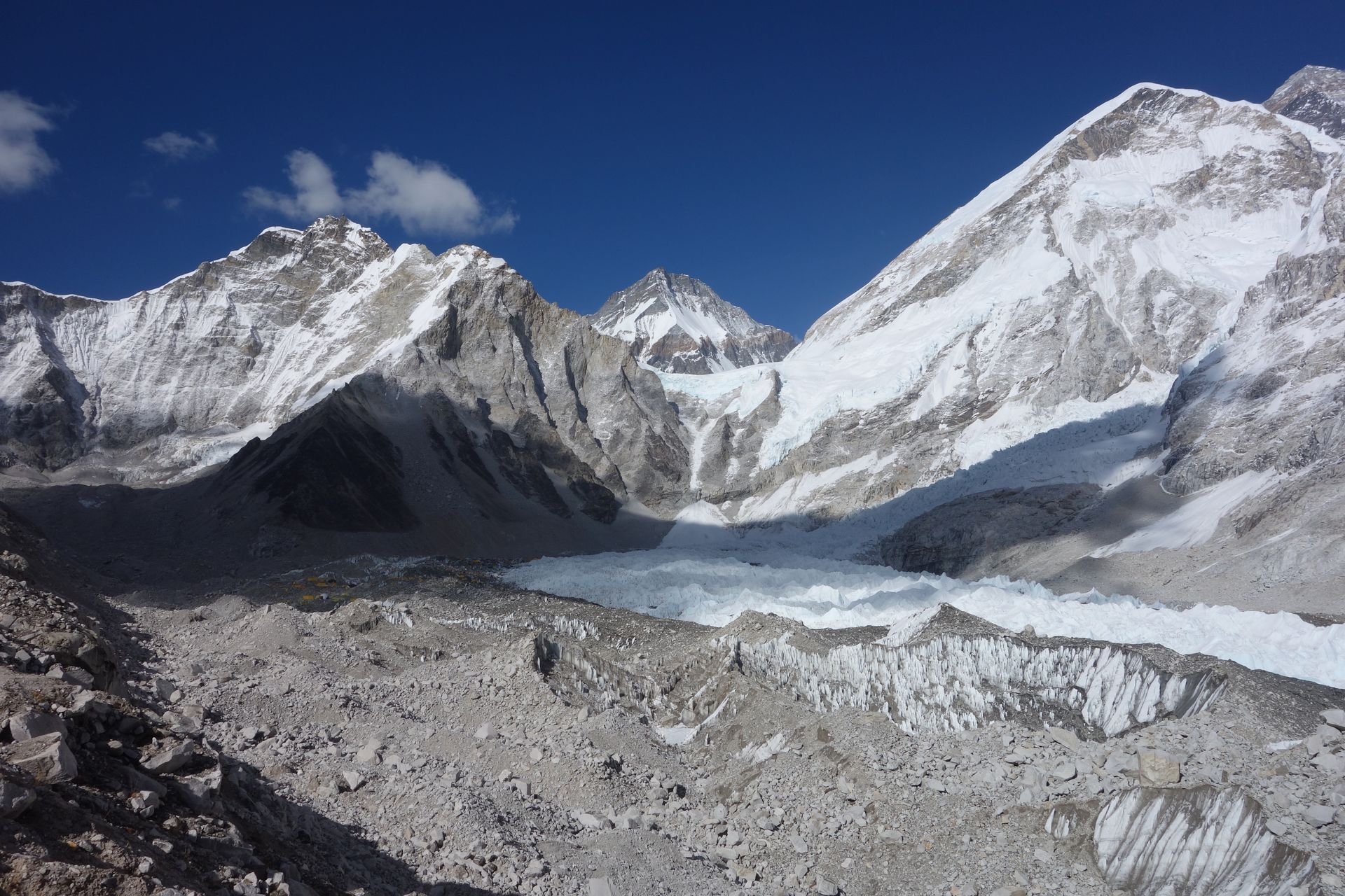
Island Peak Base Camp is a tented camp on the moraine beneath Island Peak, a few hours’ walk above Chhukung. Climbers spend the night here before the summit push. There are no permanent lodges; groups bring tents and kitchen crews.
Read place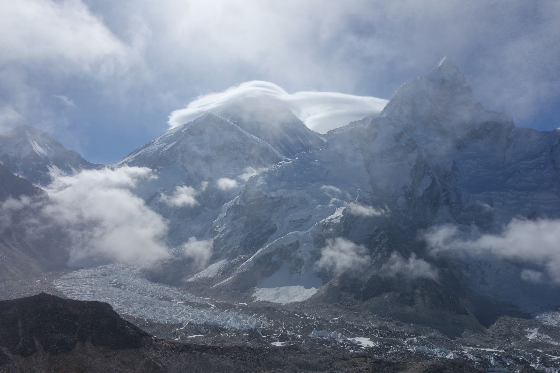
Village
Chhukung
छुकुङ
4,730 m
Chhukung is a small settlement at the head of the Imja valley, surrounded by the huge walls of Lhotse, Nuptse and Ama Dablam. It is the base for Island Peak climbs and for crossing the Kongma La on the Three Passes trek.
Read place