

Viewpoint
Chhukung Ri
छुकुङ री
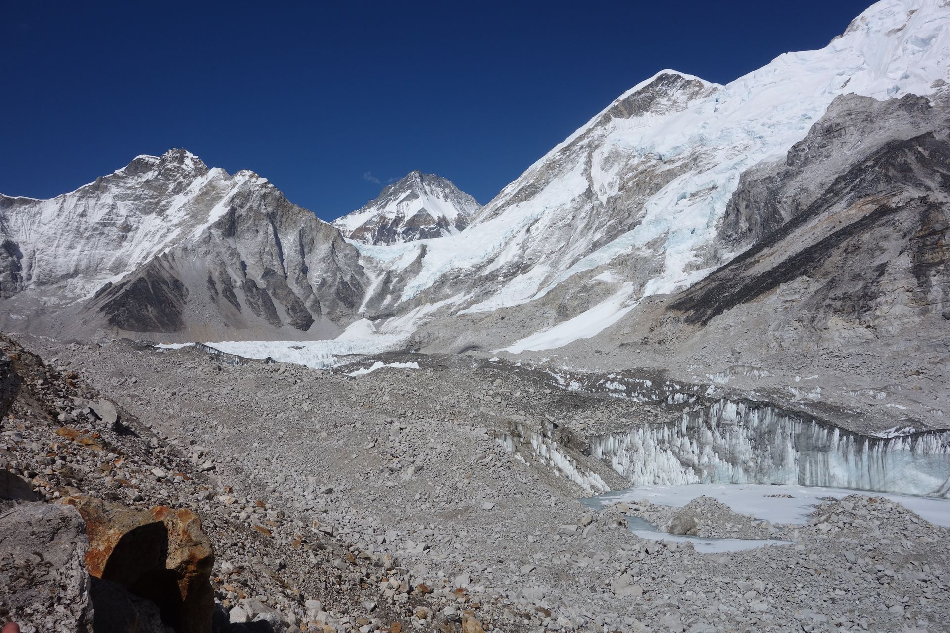
Chhukung Ri is a rocky viewpoint above Chhukung, reached in a steep climb of a few hours. It looks straight onto the Lhotse south face, Island Peak, Makalu and Ama Dablam. It is a classic acclimatisation climb before crossing the Kongma La.
- Elevation: ~5,550 m / 18,209 ft
- Type: Viewpoint
- Region: Everest Region
- District: Solukhumbu
- Treks: Everest Three Passes Trek
About Chhukung Ri
Chhukung Ri is a popular high-altitude hiking peak in the Khumbu region of Nepal, located above Chhukung village in the upper Imja Valley. Rising to approximately 5,550 metres (18,209 feet) above sea level, it is one of the best viewpoints in the Everest region for enjoying panoramic views of the surrounding Himalayan mountains. The summit offers spectacular scenery of Lhotse, Nuptse, Island Peak, Ama Dablam and, on clear days, distant Makalu.
The climb is a popular acclimatization hike for trekkers and mountaineers exploring the Everest region, especially those preparing for Island Peak or continuing along the Everest Three Passes Trek. Although it does not normally require technical mountaineering equipment, the steep rocky trail, loose terrain and high altitude make it a physically demanding hike.
Location and Altitude
Chhukung Ri is situated north of Chhukung village in the upper Imja Valley, within Sagarmatha National Park, Solukhumbu District, Koshi Province, Nepal.
- Location: Above Chhukung village, Khumbu, Nepal
- Altitude: Approximately 5,550 metres (18,209 feet)
- Mountain range: Khumbu Himal / Mahalangur Himal
- Nearest settlement: Chhukung
- Nearest major village: Dingboche
- Region: Everest region
- Main river valley: Imja Valley
- Famous for: Panoramic Himalayan views and high-altitude hiking
Treks That Pass Through Chhukung Ri
Chhukung Ri is usually visited as a side hike from Chhukung village rather than as part of a long-distance trekking route. It is an excellent addition to several Everest-region itineraries.
Everest Three Passes Trek: Trekkers often take a side trip to Chhukung Ri while staying in Chhukung before crossing Kongma La Pass.
Island Peak Climbing Route: Climbers frequently hike Chhukung Ri as an acclimatization activity before heading towards Island Peak Base Camp.
Imja Valley Trek: The hike provides an opportunity to explore the upper Imja Valley and enjoy its dramatic glacier and mountain landscapes.
Chhukung Ri Day Hike: The direct hike from Chhukung village is the most common way to reach the summit. The round trip generally takes around four to six hours, depending on fitness, weather and trail conditions.
Tea Houses and Accommodation Near Chhukung Ri
There are no permanent tea houses or accommodation facilities on the summit of Chhukung Ri. Trekkers normally stay in Chhukung village, which has several mountain lodges and tea houses serving visitors exploring the upper Imja Valley.
Most lodges offer basic rooms, shared bathrooms and dining areas. Meals commonly include dal bhat, noodles, soups, rice, potatoes, tea and coffee. Some accommodation providers may also offer hot showers and charging facilities, depending on availability and weather conditions.
Many trekkers stay overnight in Chhukung before attempting the summit early in the morning. Staying in the village also allows visitors to rest and acclimatize before continuing towards Island Peak Base Camp or Kongma La Pass.
Nature and Landscape of Chhukung Ri
Chhukung Ri is surrounded by an extraordinary Himalayan landscape featuring rocky ridges, glaciers, snow-covered peaks and wide alpine valleys. Its elevated position provides an impressive perspective over the upper Imja Valley and the surrounding mountains.
The summit offers close views of the enormous southern face of Lhotse, the rugged ridges of Nuptse and the distinctive pyramid-shaped profile of Island Peak. Ama Dablam and the distant mountains around Makalu add to the panoramic scenery.
The lower slopes feature sparse alpine vegetation, exposed rocks and glacial deposits. Higher up, the terrain becomes increasingly rocky and barren, with snow and ice possible depending on the season. The surrounding glaciers and glacial streams are important features of this high-altitude environment.
Best Time to Visit Chhukung Ri
The best seasons to hike Chhukung Ri are spring (March to May) and autumn (September to November), when weather is generally more favourable and mountain visibility is often excellent.
- Spring (March–May): Pleasant daytime conditions, clearer mornings and popular trekking and climbing activity.
- Autumn (September–November): Often the best period for clear mountain views, stable weather and comfortable trekking conditions.
- Winter (December–February): Very cold temperatures, possible snowfall and icy trails make the hike more challenging.
- Monsoon (June–August): Cloud, rain and poor visibility can affect the experience and trail conditions.
Starting early in the morning is recommended because clouds can build around the mountains later in the day.
Main Attractions of Chhukung Ri
Panoramic Himalayan Views: The summit provides magnificent views of Lhotse, Nuptse, Island Peak, Ama Dablam and other peaks in the Khumbu region.
Lhotse South Face: One of the most impressive sights from the viewpoint is the enormous southern face of Lhotse, rising dramatically above the Imja Valley.
Island Peak Views: Chhukung Ri offers a striking perspective of Island Peak, also known as Imja Tse, a popular trekking peak in Nepal.
Imja Valley Scenery: The surrounding valley features glaciers, rocky slopes, glacial streams and spectacular high-altitude landscapes.
Mountain Photography: The summit is an excellent location for landscape photography, particularly during clear mornings and sunrise.
Acclimatization Hiking: The climb provides a useful opportunity for trekkers to gain experience at higher elevations before continuing to more demanding routes, provided they are properly acclimatized.
Hiking Difficulty and Safety
Chhukung Ri is generally considered a non-technical hiking peak, but reaching its summit is physically demanding because of the steep ascent and high altitude. The trail climbs over rocky and sometimes loose terrain, with some exposed sections near the upper slopes.
Trekkers should allow enough time for acclimatization in the Khumbu region before attempting the hike. Walking slowly, drinking sufficient water and starting early can help make the journey more manageable. A local guide can be helpful for route-finding and assessing changing weather conditions.
Headaches, nausea, dizziness and unusual tiredness can be signs of altitude sickness. Anyone experiencing worsening symptoms should stop ascending and descend if necessary. The hike should not be attempted in poor visibility, severe weather or unsafe trail conditions.
Where is Chhukung Ri?
The exact point on the Himalaya trail, with nearby places for context.
On this map
Nearby places
Village
Chhukung
छुकुङ
4,730 m
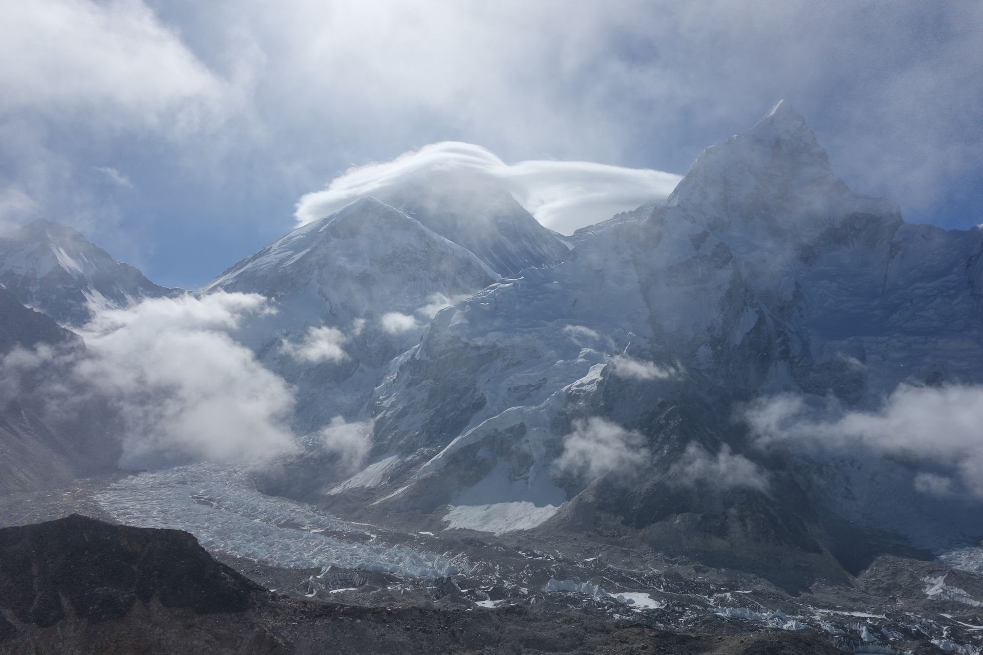
Chhukung is a small settlement at the head of the Imja valley, surrounded by the huge walls of Lhotse, Nuptse and Ama Dablam. It is the base for Island Peak climbs and for crossing the Kongma La on the Three Passes trek.
Read place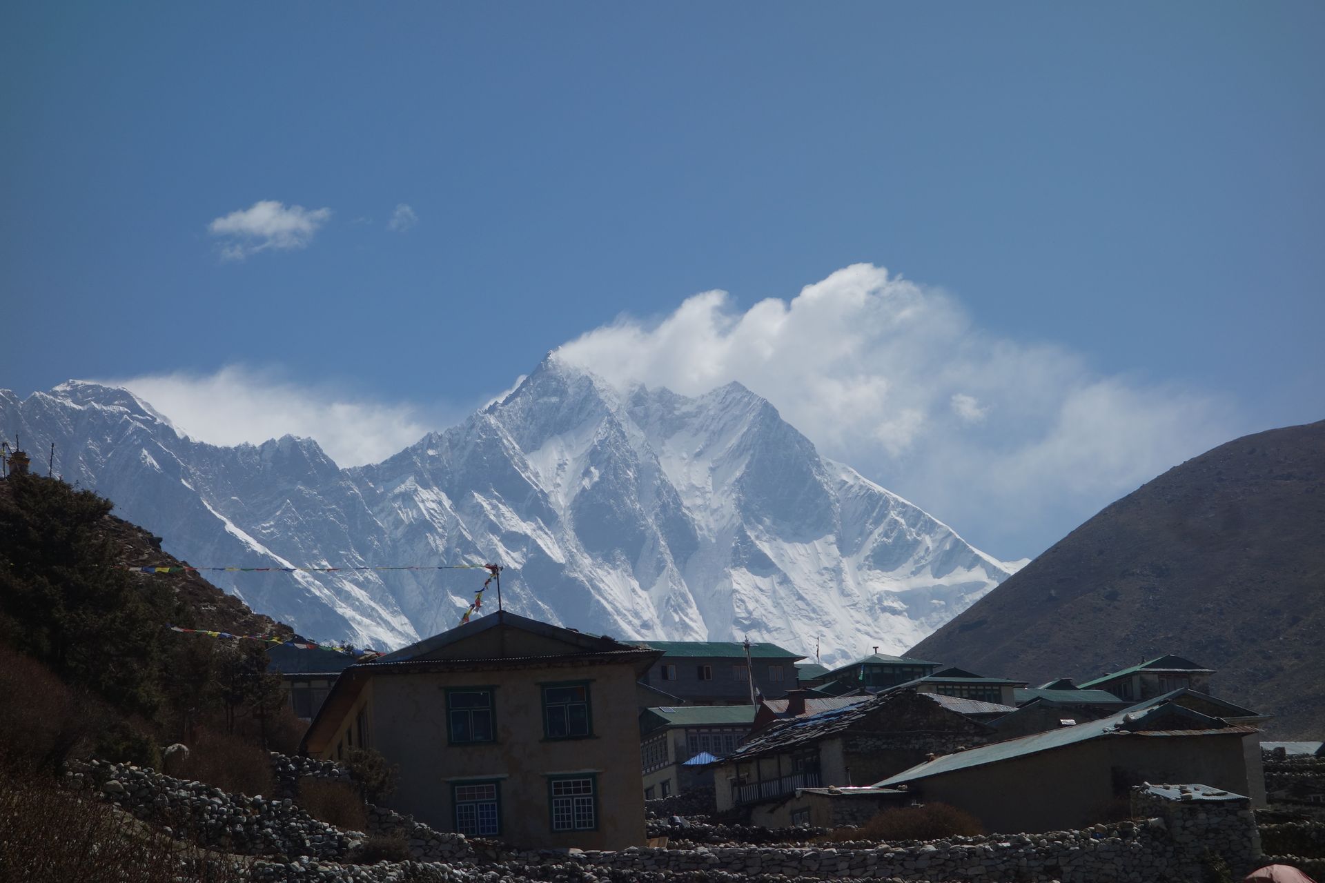
Mountain peak
Lhotse
ल्होत्से
8,516 m
Lhotse is the fourth-highest mountain in the world at 8,516 m, joined to Everest by the South Col. Its huge south face dominates the head of the Imja valley above Chhukung. Trekkers see Lhotse throughout the Everest Region, especially from Tengboche, Dingboche and Chhukung Ri.
Read place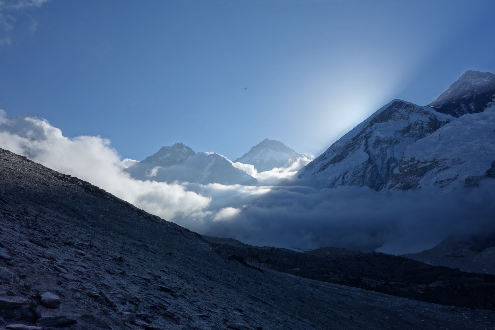
Mountain peak
Island Peak (Imja Tse)
इम्जा त्से
6,189 m
Island Peak, or Imja Tse, is a 6,189 m trekking peak rising from the Imja valley like an island in a sea of ice. It is one of the most popular climbing peaks in Nepal for first-time Himalayan climbers. Climbers set out from Chhukung and a base camp at about 5,100 m.
Read place