

Village
Chauki
चौकी
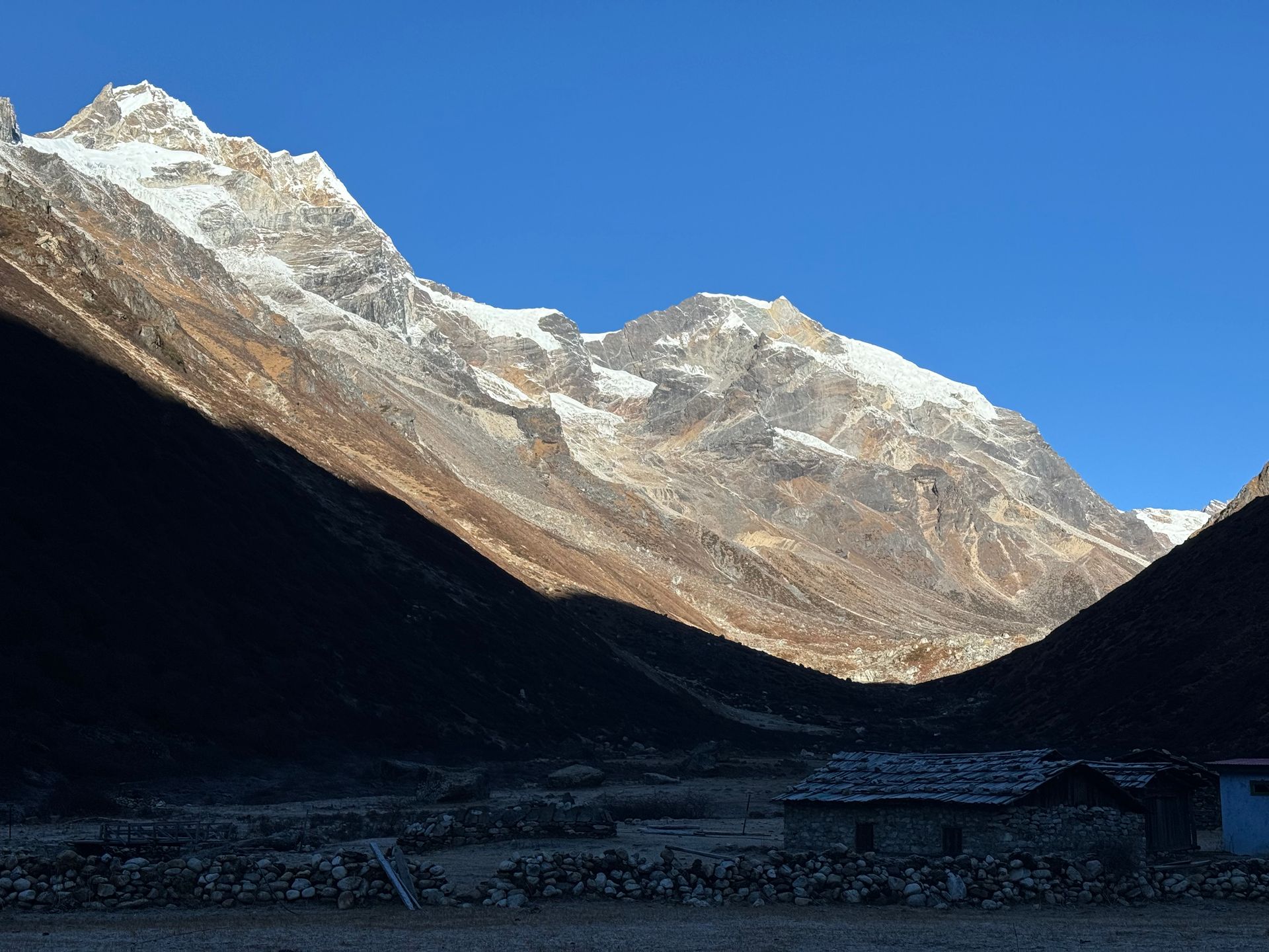
Chauki is a small ridge village on the Tinjure–Milke–Jaljale trail, with views of Makalu and Kanchenjunga. It is a common overnight stop. In spring, the surrounding forest blooms with rhododendron.
- Elevation: ~2,700 m / 8,858 ft
- Type: Village
- Region: Eastern Hills
- District: Terhathum
- Treks: Tinjure Milke Jaljale Trek
About Chauki
Chauki is a small ridge village on the Tinjure–Milke–Jaljale trail, with views of Makalu and Kanchenjunga. It is a common overnight stop.
In spring, the surrounding forest blooms with rhododendron.
Location and altitude
Chauki sits at about 2,700 m (8,858 ft) in Terhathum district, in the Eastern Hills of Nepal. Nearby places include Basantapur and Tinjure.
Treks that visit Chauki
Chauki is part of the Nepal Trek Services itinerary: Tinjure Milke Jaljale Trek.
Best time to visit
Chauki can be visited most of the year. Spring (March to May) and autumn (September to November) give the clearest mountain views; the June–August monsoon brings rain, leeches and cloud, and winter is cool but often clear.
Where is Chauki?
The exact point on the Himalaya trail, with nearby places for context.
On this map
Nearby places
Town / city
Basantapur
बसन्तपुर
2,200 m
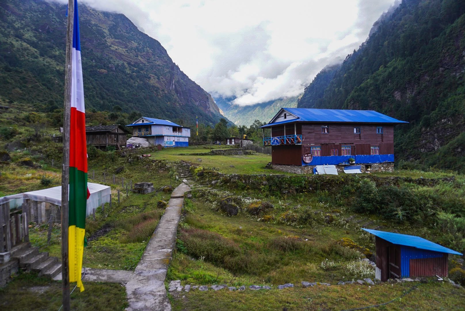
Basantapur is a ridge-top bazaar in Terhathum on the road to the Kanchenjunga and Makalu regions. It is the start of the Tinjure–Milke–Jaljale trek. The hills around it are known for rhododendron forest.
Read place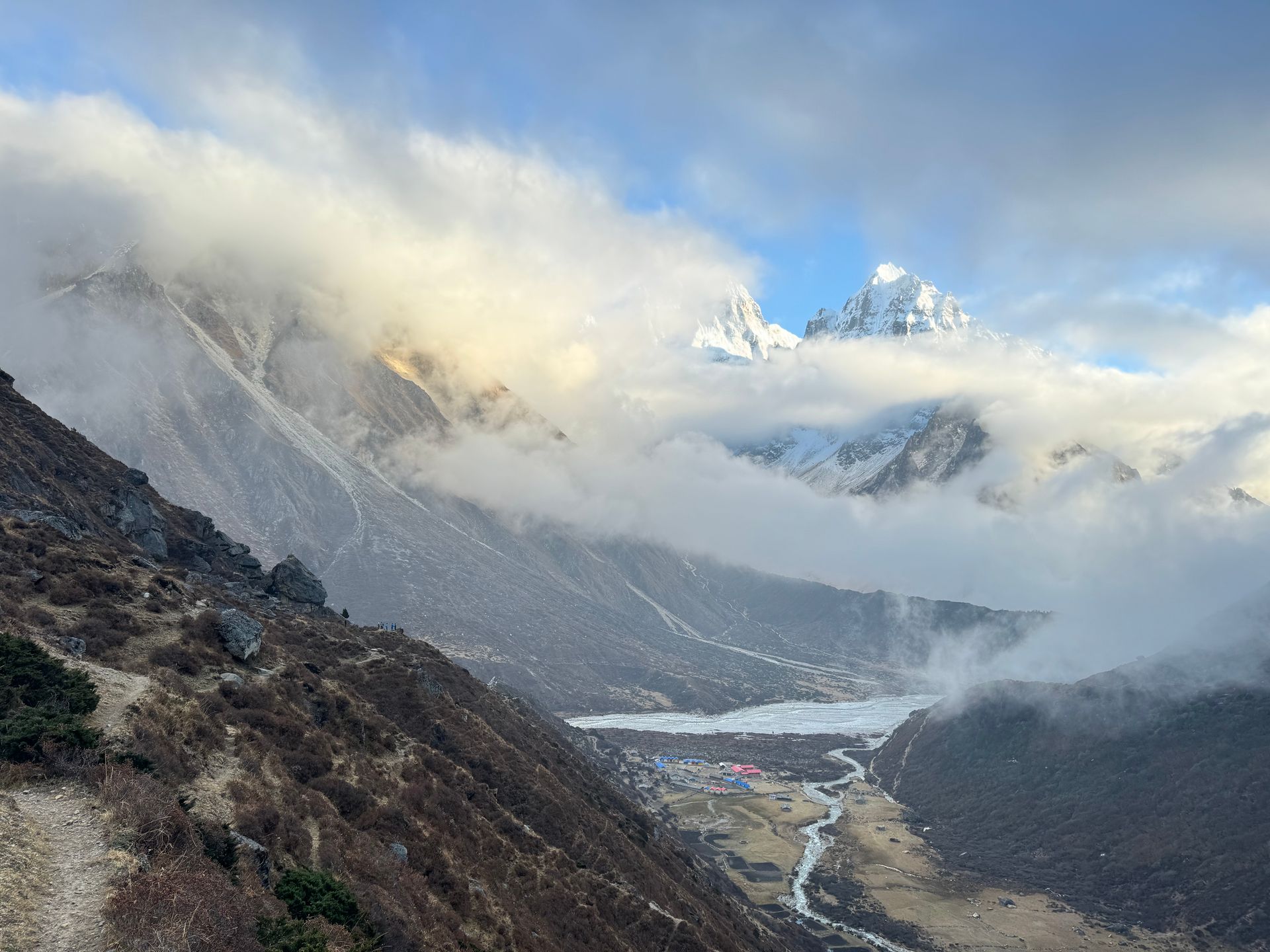
Viewpoint
Tinjure
तिन्जुरे
2,900 m
Tinjure is a ridge in the Tinjure–Milke–Jaljale area, known as the rhododendron capital of Nepal, with dozens of species. It offers wide views of Kanchenjunga, Makalu and Everest. It is best visited in April when the forests bloom.
Read place