

Village
Chhusang
छुसाङ
Chhusang is the first village of Upper Mustang beyond Kagbeni, beside eroded red cliffs dotted with ancient cave dwellings. A natural rock tunnel carries the Kali Gandaki nearby. From here the trail climbs onto the high plateau of Lo.
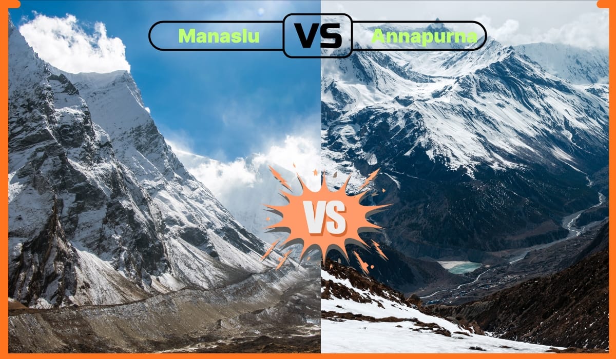
- Elevation: ~2,980 m / 9,777 ft
- Type: Village
- Region: Annapurna Region
- District: Mustang
- Restricted area permit required
- Treks: Upper Mustang Trek
About Chhusang
Chhusang is the first village of Upper Mustang beyond Kagbeni, beside eroded red cliffs dotted with ancient cave dwellings. A natural rock tunnel carries the Kali Gandaki nearby.
From here the trail climbs onto the high plateau of Lo.
Location and altitude
Chhusang sits at about 2,980 m (9,777 ft) in Mustang district, in the Annapurna Region of Nepal. Nearby places include Kagbeni and Ghami.
Treks that visit Chhusang
Chhusang is part of the Nepal Trek Services itinerary: Upper Mustang Trek.
Best time to visit
Being in the Himalayan rain shadow, Chhusang sees little monsoon rain, so it can be visited from spring through autumn (roughly April to November). Winter is very cold.
Where is Chhusang?
The exact point on the Himalaya trail, with nearby places for context.
On this map
Nearby places
Village
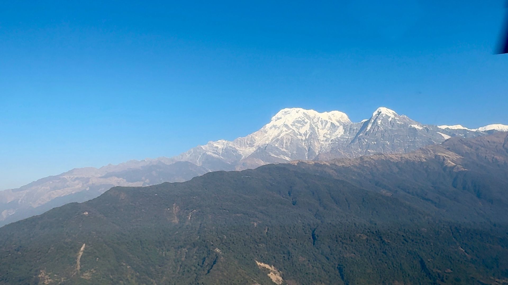
Kagbeni
कागबेनी
2,810 m
Kagbeni is a medieval village of mud-brick houses at the confluence of the Kali Gandaki and Jhong Khola. It marks the boundary of restricted Upper Mustang, and its red Kag Chode monastery dates to the 15th century. Upper Mustang treks begin here, with permits checked at the checkpoint.
Read place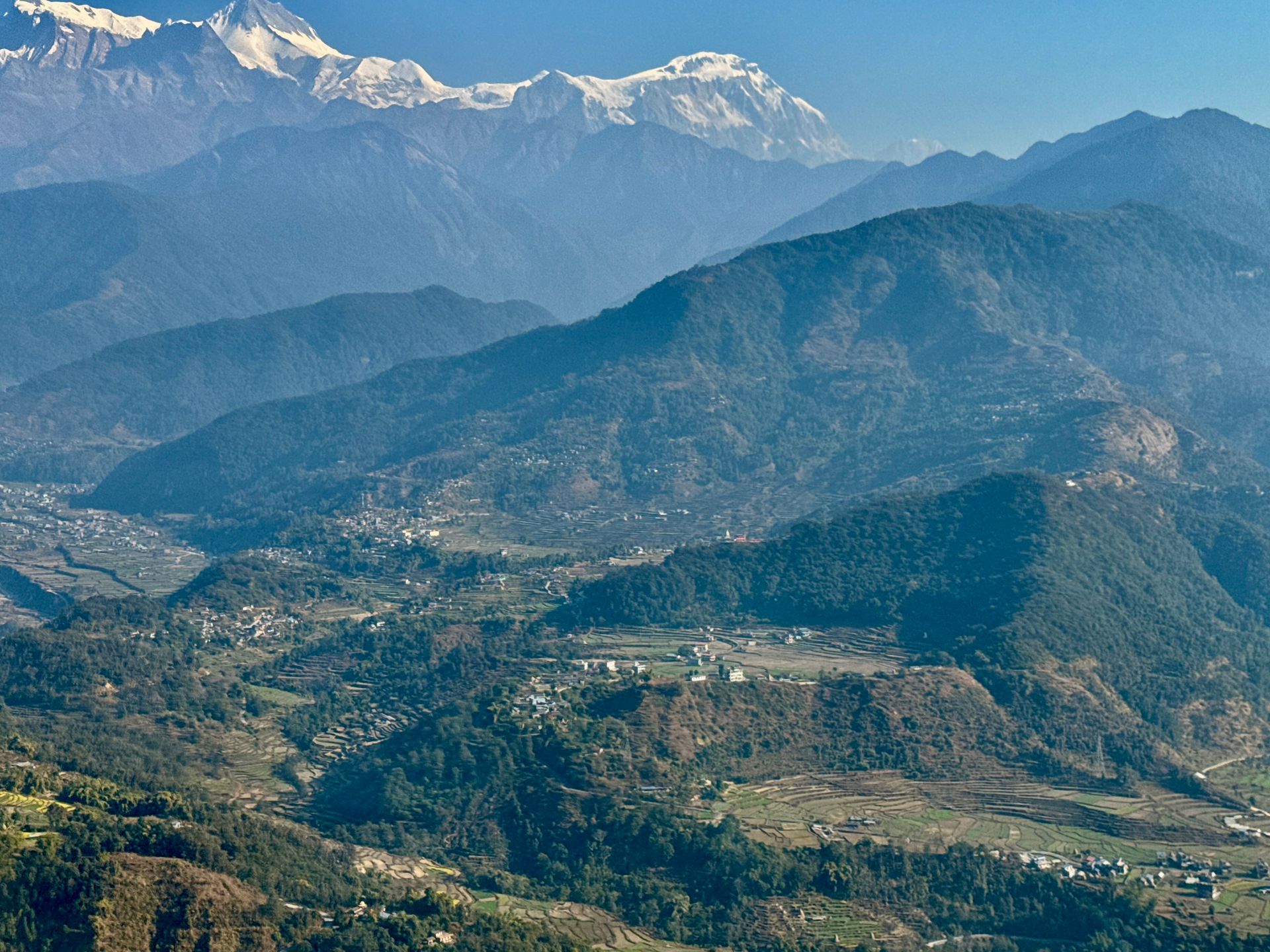
Village
Ghami
घमी
3,520 m
Ghami is a village of whitewashed houses in Upper Mustang, near the longest mani wall in Nepal. Legend says it was built from the entrails of a demon slain by Guru Rinpoche. The red cliffs of Dhakmar are nearby.
Read place