

Airstrip / airport
Biratnagar Airport
विराटनगर विमानस्थल
Biratnagar Airport serves eastern Nepal’s largest city and is a gateway for treks to Kanchenjunga and the eastern hills. Flights link it with Kathmandu, Suketar and Tumlingtar. Many trekkers continue by road from here to Taplejung or Basantapur.
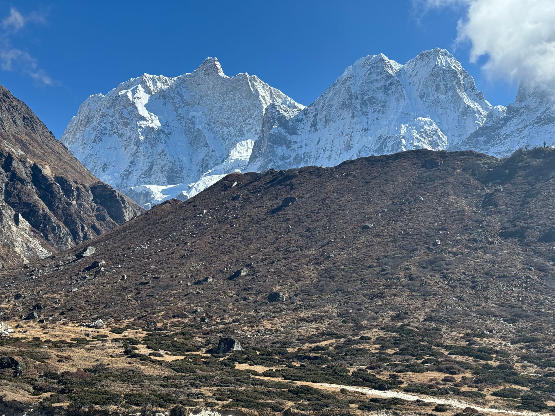
- Elevation: ~72 m / 236 ft
- Type: Airport / airstrip
- Region: Eastern Nepal gateway
- District: Morang
- Treks: Kanchenjunga North Base Camp Trek, Kanchenjunga South Base Camp Trek
About Biratnagar Airport
Biratnagar Airport serves eastern Nepal’s largest city and is a gateway for treks to Kanchenjunga and the eastern hills. Flights link it with Kathmandu, Suketar and Tumlingtar.
Many trekkers continue by road from here to Taplejung or Basantapur.
Location and altitude
Biratnagar Airport sits at about 72 m (236 ft) in Morang district, in the Eastern Nepal gateway of Nepal. Nearby places include Suketar Airport and Tumlingtar.
Treks that visit Biratnagar Airport
Biratnagar Airport is part of these Nepal Trek Services itineraries: Kanchenjunga North Base Camp Trek, Kanchenjunga South Base Camp Trek, Kanchenjunga Circuit Trek (North and South Base Camps) and Arun Valley Trek.
Best time to visit
Biratnagar Airport can be visited most of the year. Spring (March to May) and autumn (September to November) give the clearest mountain views; the June–August monsoon brings rain, leeches and cloud, and winter is cool but often clear.
Where is Biratnagar Airport?
The exact point on the Himalaya trail, with nearby places for context.
On this map
Nearby places
Airstrip / airport
Suketar Airport
सुकेटार विमानस्थल
2,420 m
Suketar Airport is the small airstrip serving Taplejung, the gateway to the Kanchenjunga region. Flights from Biratnagar or Bhadrapur are irregular, so most trekkers now drive in. Pathibhara Temple is a day’s climb away.
Read place
Town / city
Tumlingtar
तुम्लिङटार
410 m
Tumlingtar is a warm valley town on the Arun River with an airstrip, the gateway to the Makalu region. Flights from Kathmandu take about 45 minutes. Jeeps continue from here to Num and Seduwa.
Read place