

Airstrip / airport
Manthali Airport (Ramechhap)
मन्थली विमानस्थल
Manthali Airport in Ramechhap is used for most Lukla flights in the peak spring and autumn seasons, to ease traffic at Kathmandu. It is about four to five hours’ drive from Kathmandu. Trekkers usually leave Kathmandu very early to reach it.
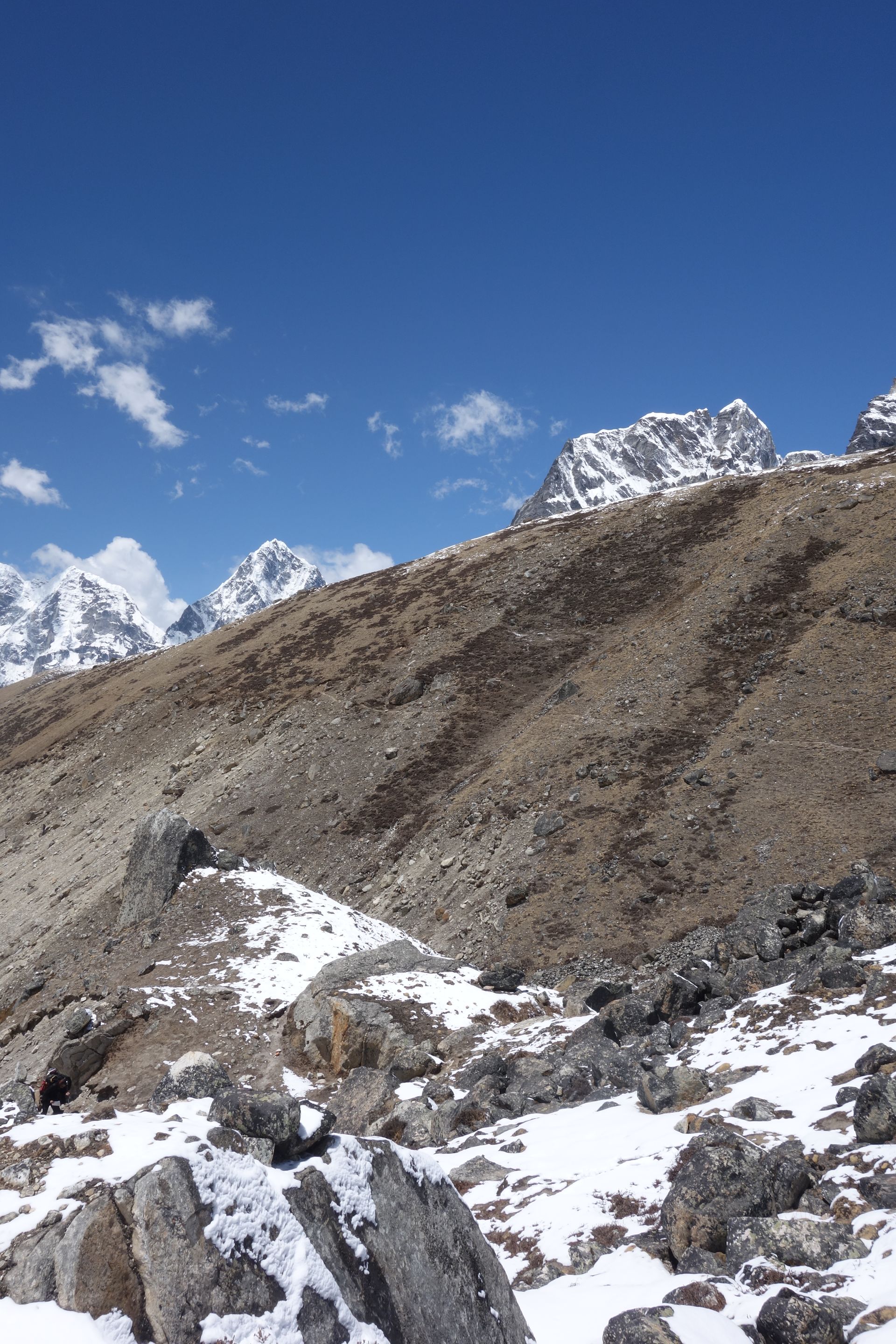
- Elevation: ~470 m / 1,542 ft
- Type: Airport / airstrip
- Region: Everest Region gateway
- District: Ramechhap
- Main Lukla flight hub in peak seasons
- Treks: Everest Base Camp Trek, Everest View Trek, Gokyo Lakes Trek
About Manthali Airport (Ramechhap)
Manthali Airport in Ramechhap is used for most Lukla flights in the peak spring and autumn seasons, to ease traffic at Kathmandu. It is about four to five hours’ drive from Kathmandu.
Trekkers usually leave Kathmandu very early to reach it.
Location and altitude
Manthali Airport (Ramechhap) sits at about 470 m (1,542 ft) in Ramechhap district, in the Everest Region gateway of Nepal. Nearby places include Lukla and Tenzing-Hillary Airport, Lukla.
Treks that visit Manthali Airport (Ramechhap)
Manthali Airport (Ramechhap) is part of these Nepal Trek Services itineraries: Everest Base Camp Trek, Everest View Trek, Gokyo Lakes Trek, Everest Three Passes Trek and EBC Gokyo Lakes Trek.
Best time to visit
Manthali Airport (Ramechhap) can be visited most of the year. Spring (March to May) and autumn (September to November) give the clearest mountain views; the June–August monsoon brings rain, leeches and cloud, and winter is cool but often clear.
Where is Manthali Airport (Ramechhap)?
The exact point on the Himalaya trail, with nearby places for context.
On this map
Nearby places
Town / city
Lukla
लुक्ला
2,860 m
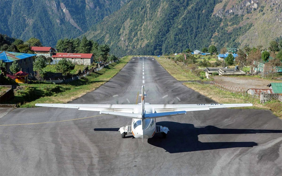
Lukla is the bustling gateway town of the Everest Region, where nearly every Khumbu trek begins and ends. Trekkers arrive on a short, scenic flight from Kathmandu or Ramechhap and set off north along the Dudh Koshi valley the same day.
Read place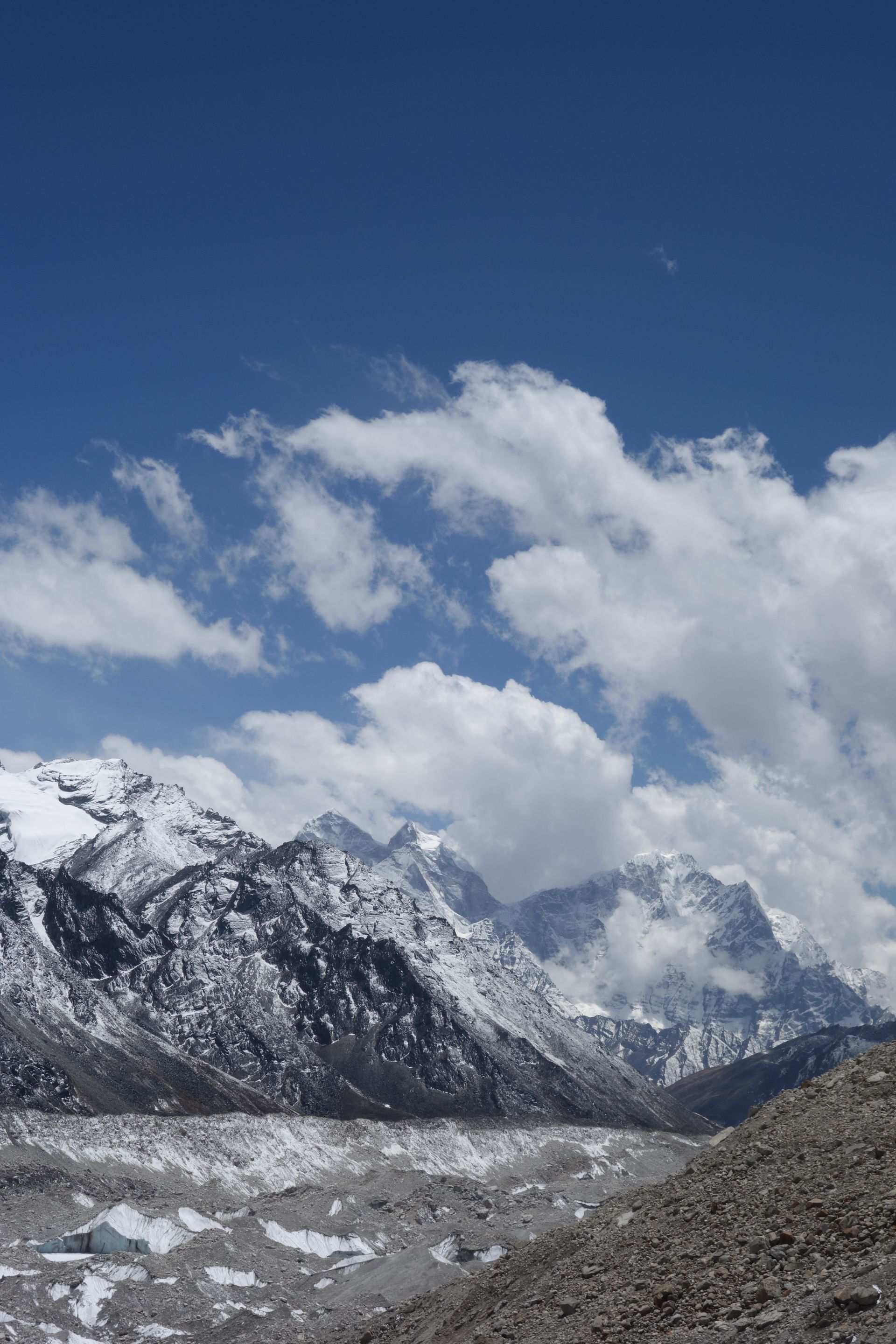
Airstrip / airport
Tenzing-Hillary Airport, Lukla
तेन्जिङ-हिलारी विमानस्थल
2,845 m
Tenzing-Hillary Airport in Lukla is the main air link to the Everest Region, famous for its short, sloping runway set against a mountainside. Flights of around 30–40 minutes connect it with Kathmandu or, in peak season, with Manthali airport in Ramechhap.
Read place