

Village
Nangi
नाङ्गी
Nangi is a Magar village in Myagdi known for its community development projects, including the eco-trekking network that runs Mohare Danda. Homestays here offer a close look at village life.
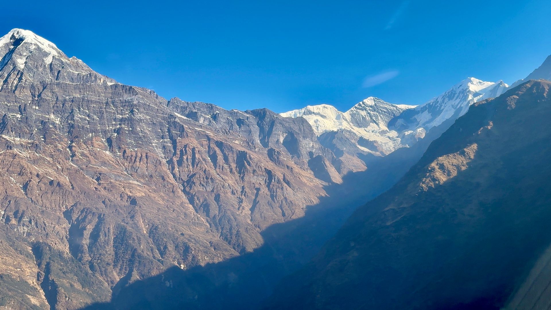
- Elevation: ~2,300 m / 7,546 ft
- Type: Village
- Region: Annapurna Region
- District: Myagdi
- Treks: Mohare Danda Trek, Annapurna Dhaulagiri Community Trek
About Nangi
Nangi is a Magar village in Myagdi known for its community development projects, including the eco-trekking network that runs Mohare Danda.
Homestays here offer a close look at village life.
Location and altitude
Nangi sits at about 2,300 m (7,546 ft) in Myagdi district, in the Annapurna Region of Nepal. Nearby places include Mohare Danda and Beni.
Treks that visit Nangi
Nangi is part of these Nepal Trek Services itineraries: Mohare Danda Trek and Annapurna Dhaulagiri Community Trek.
Best time to visit
Nangi can be visited most of the year. Spring (March to May) and autumn (September to November) give the clearest mountain views; the June–August monsoon brings rain, leeches and cloud, and winter is cool but often clear.
Where is Nangi?
The exact point on the Himalaya trail, with nearby places for context.
On this map
Nearby places
Viewpoint
Mohare Danda
मोहरे डाँडा
3,300 m
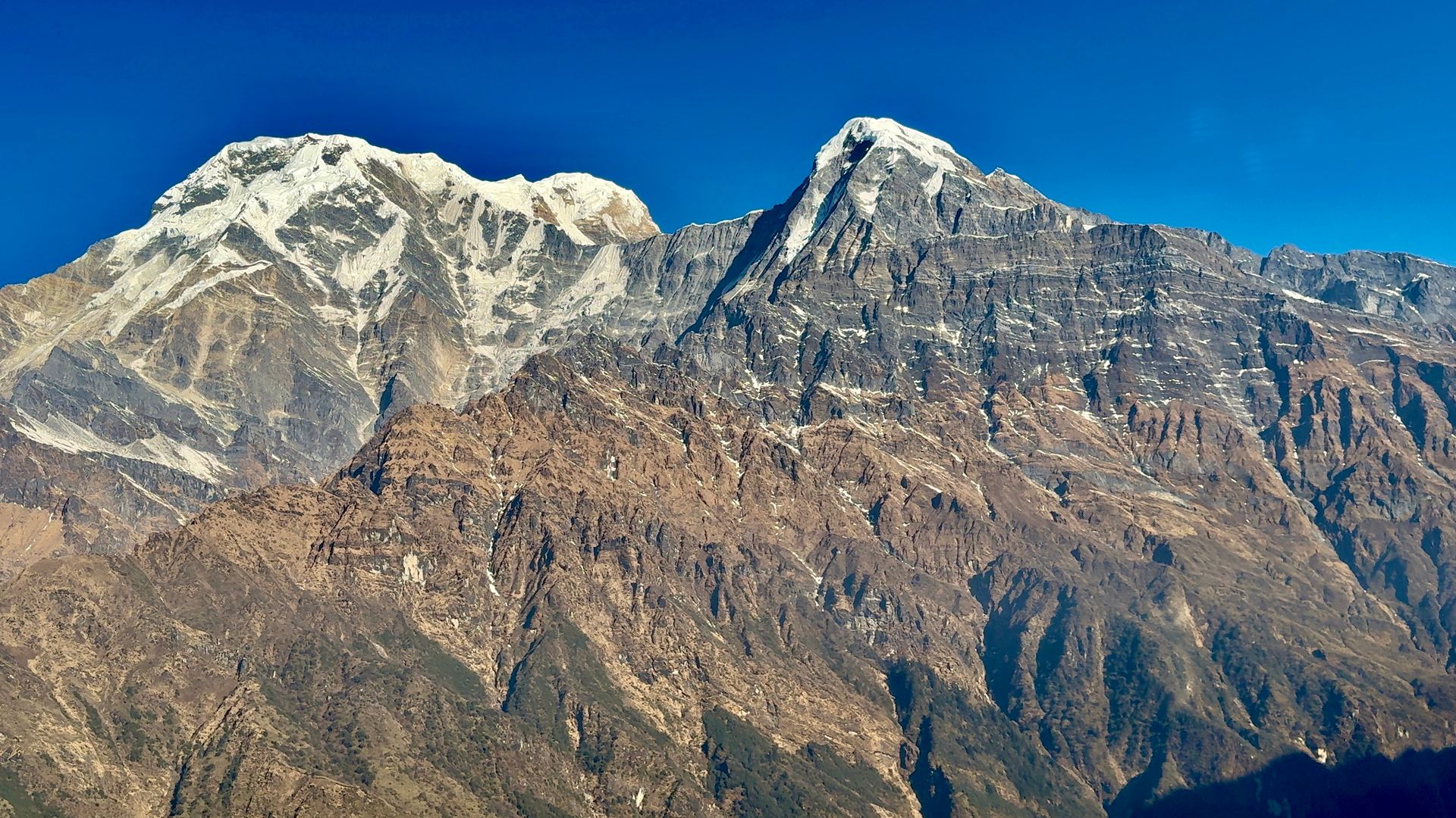
Mohare Danda is a ridge-top viewpoint west of Poon Hill, developed as a community eco-trek by the villages of Nangi and Mohare. Its sunrise views span Dhaulagiri, Annapurna and Machhapuchhre. It is a quieter alternative to Poon Hill.
Read place
Town / city
Beni
बेनी
830 m
Beni is the district headquarters of Myagdi, at the confluence of the Kali Gandaki and Myagdi Khola. It is the road junction for Mustang, Dhaulagiri and Dolpo. It is the start of the long Beni to Dolpo trek.
Read place