

Village
Ngawal
ङावल
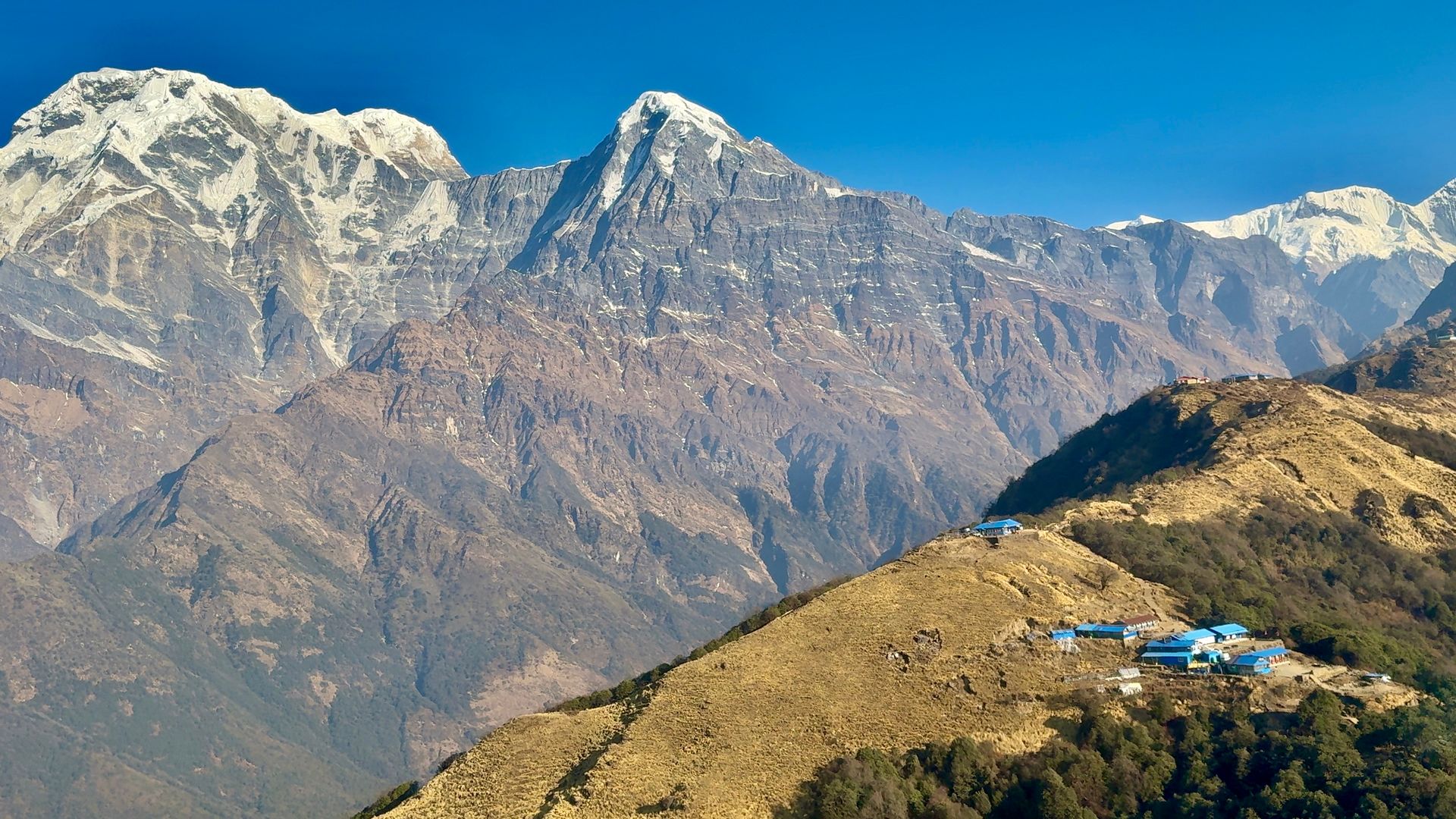
Ngawal is a traditional village on the high northern route between Pisang and Manang, with old chortens and prayer wheels. It looks across to Annapurna II, III and Gangapurna. Overnighting here helps acclimatise before Manang.
- Elevation: ~3,660 m / 12,008 ft
- Type: Village
- Region: Annapurna Region
- District: Manang
- Treks: Annapurna Circuit Trek, Tilicho Lake Trek
About Ngawal
Ngawal is a traditional village on the high northern route between Pisang and Manang, with old chortens and prayer wheels. It looks across to Annapurna II, III and Gangapurna.
Overnighting here helps acclimatise before Manang.
Location and altitude
Ngawal sits at about 3,660 m (12,008 ft) in Manang district, in the Annapurna Region of Nepal. It lies within Annapurna Conservation Area. Nearby places include Upper Pisang and Manang.
Treks that visit Ngawal
Ngawal is part of these Nepal Trek Services itineraries: Annapurna Circuit Trek and Tilicho Lake Trek.
Best time to visit
Ngawal can be visited most of the year. Spring (March to May) and autumn (September to November) give the clearest mountain views; the June–August monsoon brings rain, leeches and cloud, and winter is cool but often clear.
Where is Ngawal?
The exact point on the Himalaya trail, with nearby places for context.
On this map
Nearby places
Village
Upper Pisang
माथिल्लो पिसाङ
3,310 m
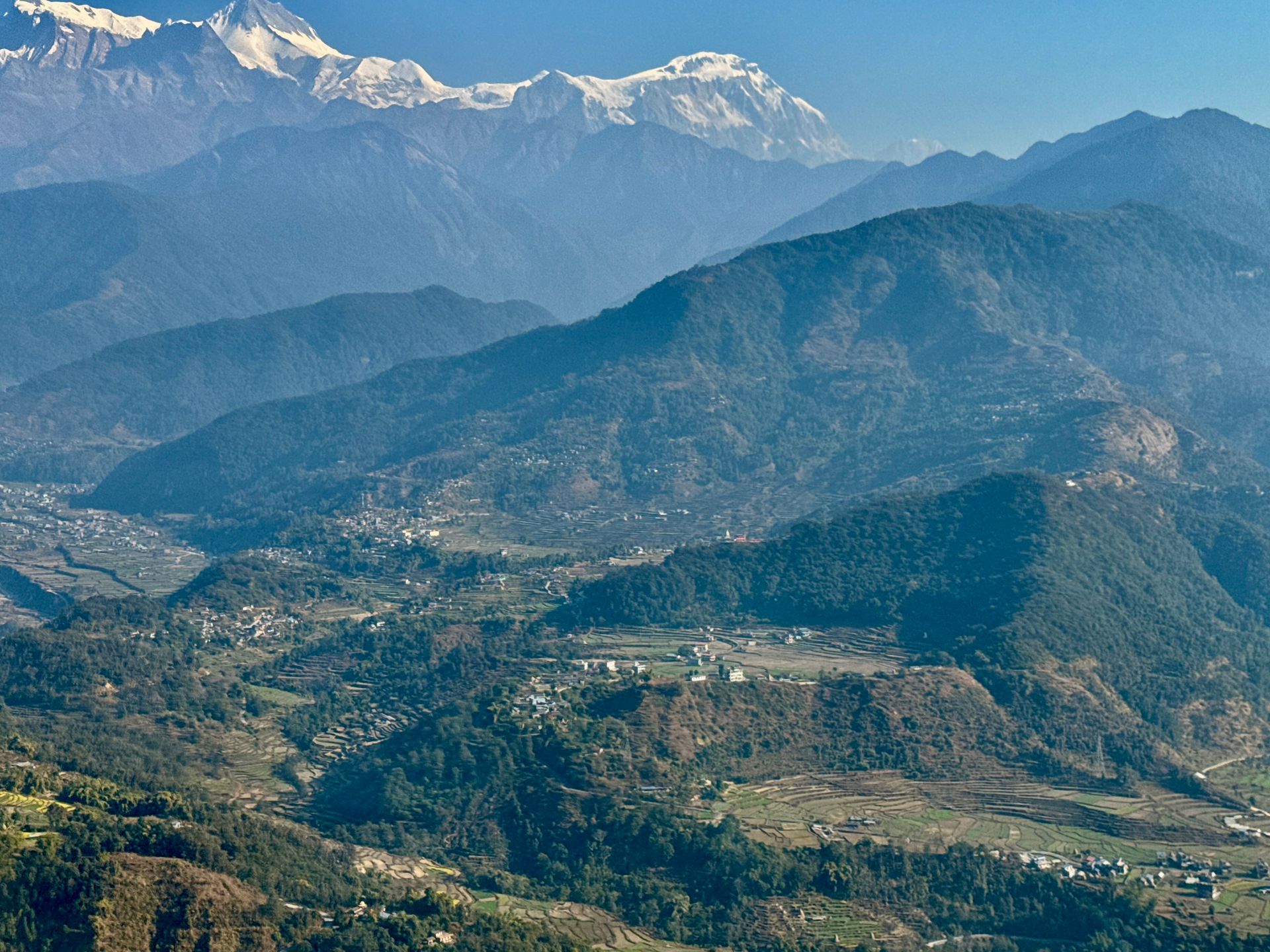
Upper Pisang is the old Tibetan-style part of Pisang, with stone houses and a gompa overlooking Annapurna II. It is the start of the scenic upper route to Manang via Ghyaru and Ngawal. The upper route is harder but gives far better views and helps acclimatisation.
Read place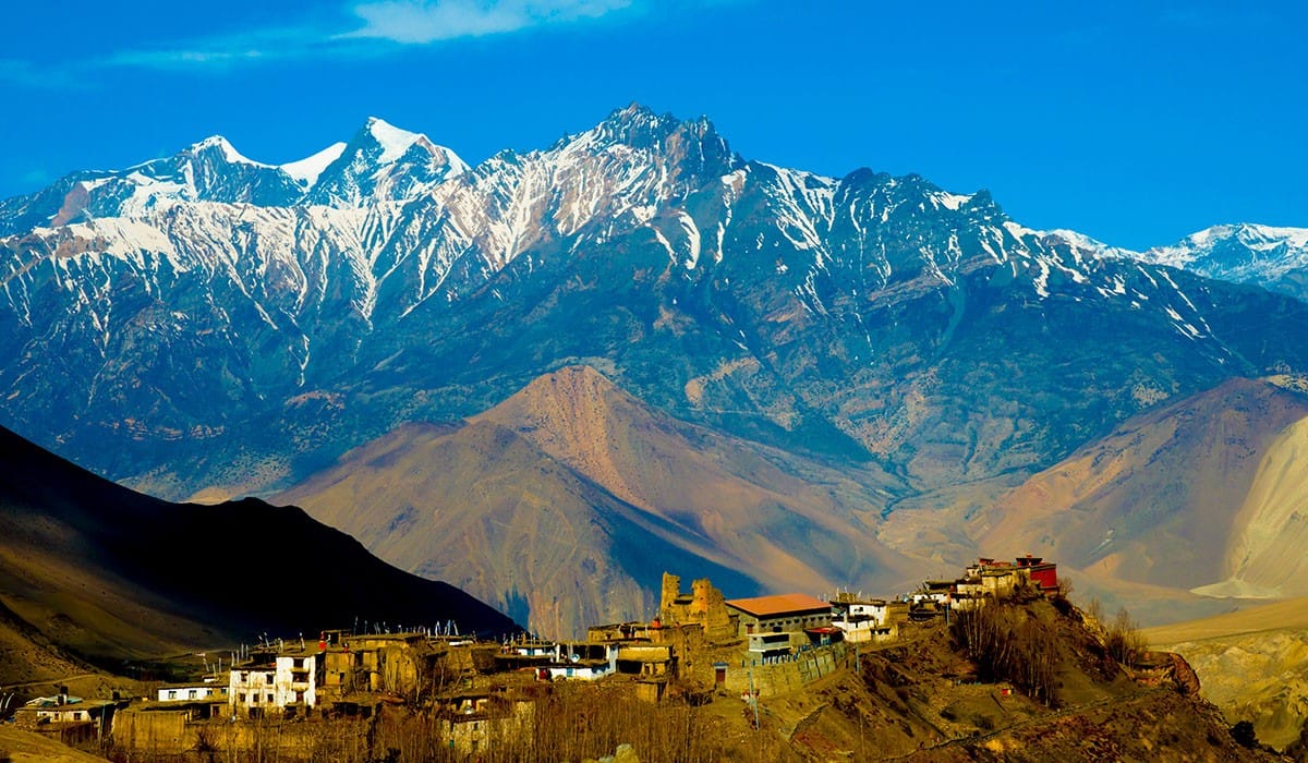
Village
Manang
मनाङ
3,540 m
Manang is the largest village in the upper Marsyangdi and the main acclimatisation stop on the Annapurna Circuit. Its flat-roofed stone houses sit beneath Annapurna III and Gangapurna. Popular acclimatisation hikes include Gangapurna Lake, the Praken Gompa and Ice Lake.
Read place