

Checkpoint
Rasuwagadhi Border Point
रसुवागढी
Rasuwagadhi is the Nepal–Tibet border crossing on the Kerung road north of Syabrubesi, with a historic fort. It is the overland route to Kyirong and Lhasa. The Tamang Heritage Trail passes near it.
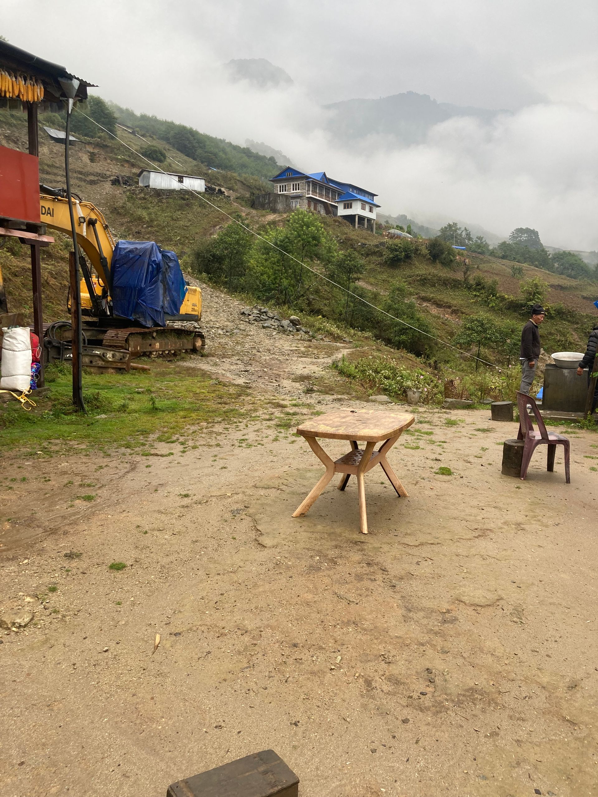
- Elevation: ~1,800 m / 5,906 ft
- Type: Checkpoint
- Region: Langtang Region
- District: Rasuwa
- Nepal–China (Tibet) border crossing
- Treks: Tamang Heritage Trail
About Rasuwagadhi Border Point
Rasuwagadhi is the Nepal–Tibet border crossing on the Kerung road north of Syabrubesi, with a historic fort. It is the overland route to Kyirong and Lhasa.
The Tamang Heritage Trail passes near it.
Location and altitude
Rasuwagadhi Border Point sits at about 1,800 m (5,906 ft) in Rasuwa district, in the Langtang Region of Nepal. Nearby places include Tatopani (Rasuwa) and Syabrubesi.
Treks that visit Rasuwagadhi Border Point
Rasuwagadhi Border Point is part of the Nepal Trek Services itinerary: Tamang Heritage Trail.
Best time to visit
Rasuwagadhi Border Point can be visited most of the year. Spring (March to May) and autumn (September to November) give the clearest mountain views; the June–August monsoon brings rain, leeches and cloud, and winter is cool but often clear.
Where is Rasuwagadhi Border Point?
The exact point on the Himalaya trail, with nearby places for context.
On this map
Nearby places
Village
Tatopani (Rasuwa)
तातोपानी
2,600 m
Tatopani on the Tamang Heritage Trail is a small settlement with natural hot spring pools. It lies near the Tibetan border above the Bhote Koshi. It is a welcome rest stop on the trail.
Read placeTown / city
Syabrubesi
स्याब्रुबेसी
1,460 m
Syabrubesi is a riverside town on the Bhote Koshi and the main trailhead for the Langtang Valley, reached in about seven hours by road from Kathmandu. It has lodges, shops and a hot spring nearby. Both the Langtang Valley and Tamang Heritage Trail treks start here.
Read place