

Mountain range
Langtang Himal
लाङटाङ हिमाल
The Langtang Himal is the range north of Kathmandu, topped by Langtang Lirung at 7,234 m. It forms the border with Tibet. The Langtang Valley trek runs along its southern side.
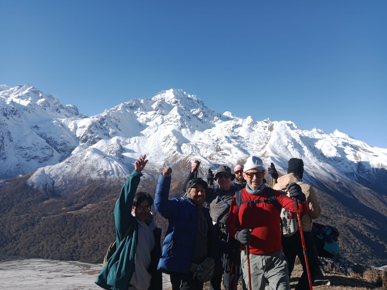
- Elevation: ~7,234 m / 23,734 ft
- Type: Mountain range
- Region: Langtang Region
- District: Rasuwa
- Highest peak: Langtang Lirung (7,234 m)
- Treks: Langtang Valley Trek, Langtang and Gosaikunda Trek, Ganja La Pass Trek
About Langtang Himal
The Langtang Himal is the range north of Kathmandu, topped by Langtang Lirung at 7,234 m. It forms the border with Tibet.
The Langtang Valley trek runs along its southern side.
Location and altitude
Langtang Himal sits at about 7,234 m (23,734 ft) in Rasuwa district, in the Langtang Region of Nepal. It lies within Langtang National Park. Nearby places include Langtang Lirung and Kyanjin Gompa.
Treks that visit Langtang Himal
Langtang Himal is part of these Nepal Trek Services itineraries: Langtang Valley Trek, Langtang and Gosaikunda Trek and Ganja La Pass Trek.
Best time to visit
The best seasons for Langtang Himal are spring (March to May) and autumn (late September to November), when skies are clearest. Winter brings heavy cold and snow, and the June–August monsoon brings cloud and wet trails lower down.
Where is Langtang Himal?
The exact point on the Himalaya trail, with nearby places for context.
On this map
Nearby places
Mountain peak
Langtang Lirung
लाङटाङ लिरुङ
7,234 m
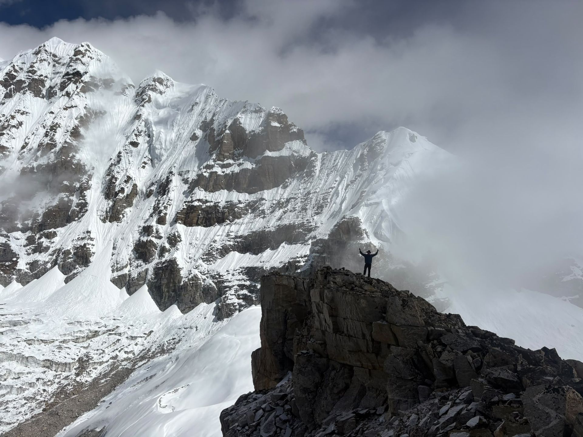
Langtang Lirung is the highest peak of the Langtang Himal at 7,234 m. Its icefall and glacier hang directly above the Langtang valley. It dominates the views from Langtang Village and Kyanjin Gompa.
Read place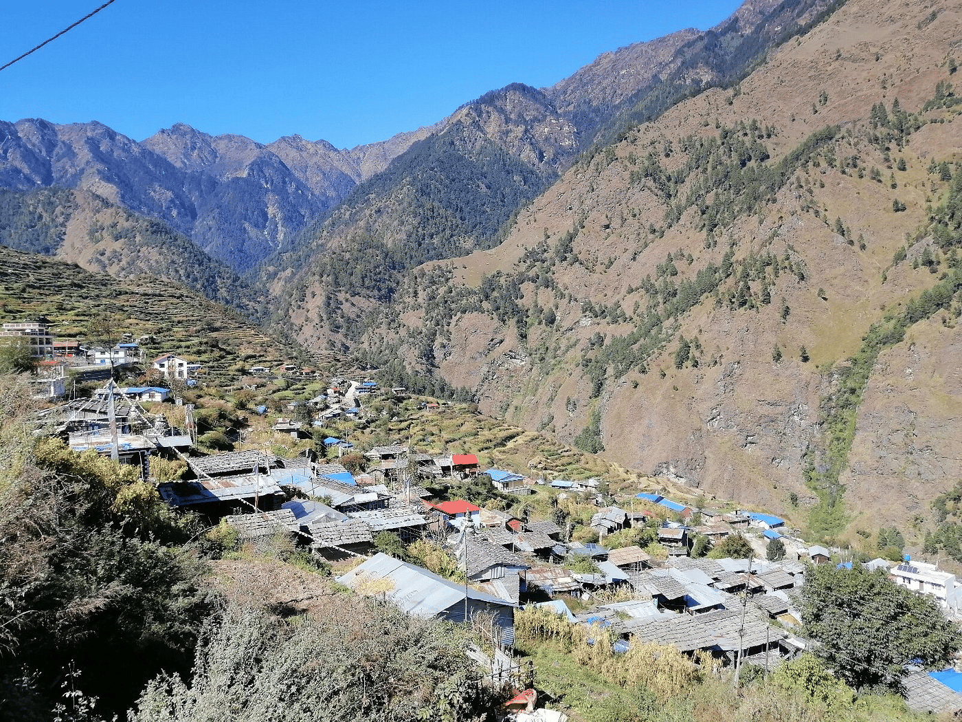
Village
Kyanjin Gompa
क्याङजिन गुम्बा
3,870 m
Kyanjin Gompa is the end point of the Langtang Valley trek, with an old monastery, a yak cheese factory and a ring of glaciated peaks. Trekkers spend an extra day here climbing Kyanjin Ri or Tserko Ri. It is also the starting point for the Ganja La crossing to Helambu.
Read place