

Village
Machha Khola
माछा खोला
Machha Khola, meaning “fish river”, is a village on a sandy riverbank in the lower Budhi Gandaki valley. It is a common overnight stop on the Manaslu Circuit. A hot spring lies further upstream at Tatopani.
- Elevation: ~930 m / 3,051 ft
- Type: Village
- Region: Manaslu Region
- District: Gorkha
- Treks: Manaslu Circuit Trek, Tsum Valley Trek and Manaslu Circuit
About Machha Khola
Machha Khola, meaning “fish river”, is a village on a sandy riverbank in the lower Budhi Gandaki valley. It is a common overnight stop on the Manaslu Circuit.
A hot spring lies further upstream at Tatopani.
Location and altitude
Machha Khola sits at about 930 m (3,051 ft) in Gorkha district, in the Manaslu Region of Nepal. Nearby places include Soti Khola and Jagat (Manaslu).
Treks that visit Machha Khola
Machha Khola is part of these Nepal Trek Services itineraries: Manaslu Circuit Trek, Tsum Valley Trek and Manaslu Circuit, Manaslu Circuit Alternative Trek Via Barpak, Manaslu Circuit via Upper Route (Kassi Gaun) and Tsum Valley Trek.
Best time to visit
Machha Khola can be visited most of the year. Spring (March to May) and autumn (September to November) give the clearest mountain views; the June–August monsoon brings rain, leeches and cloud, and winter is cool but often clear.
Where is Machha Khola?
The exact point on the Himalaya trail, with nearby places for context.
On this map
Nearby places
Village
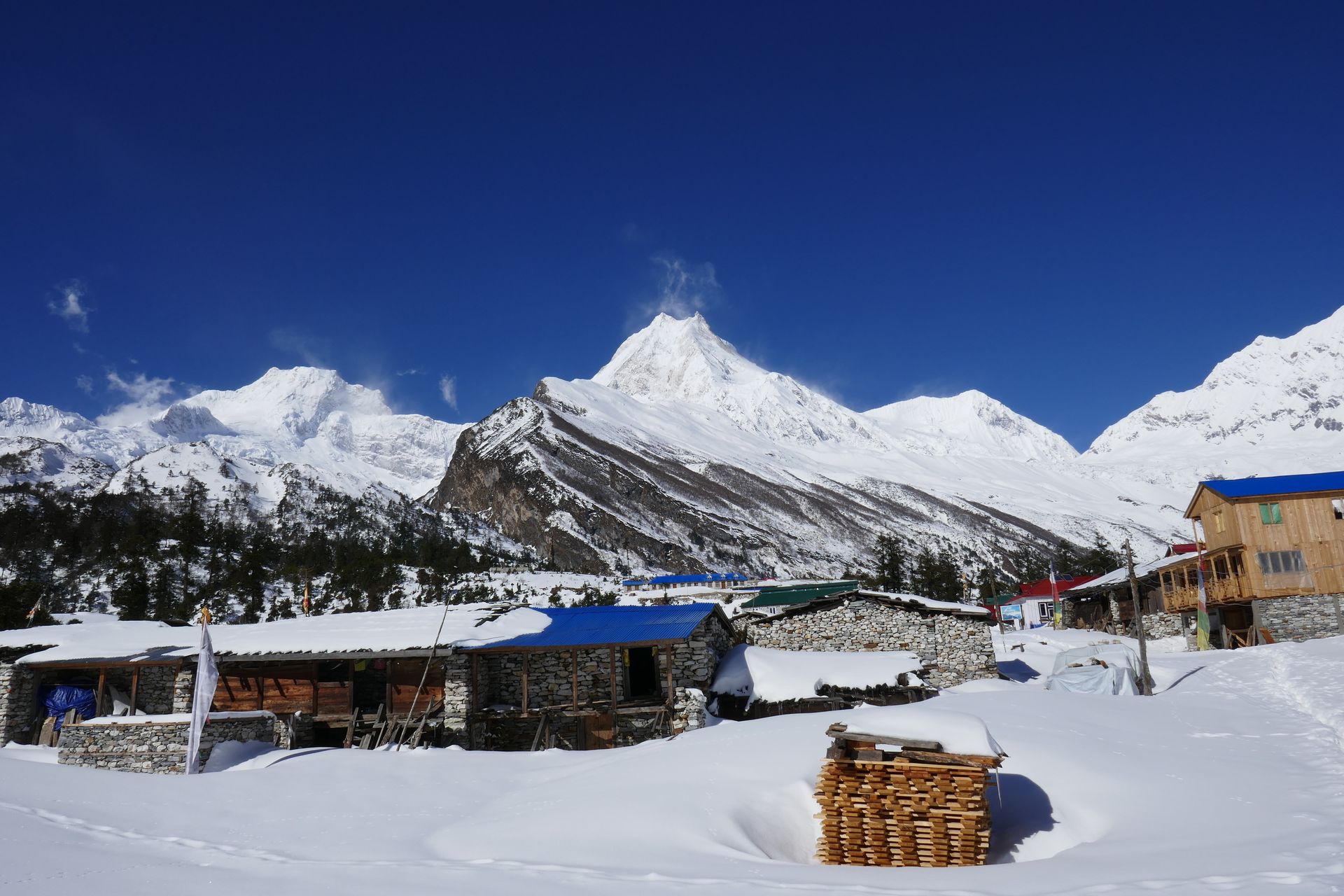
Soti Khola
सोती खोला
730 m
Soti Khola is a small village at the end of the road on the Budhi Gandaki, the usual first overnight of the Manaslu Circuit. The trail beyond follows the river through a deep gorge. The area is low and warm, with sal forest and waterfalls.
Read place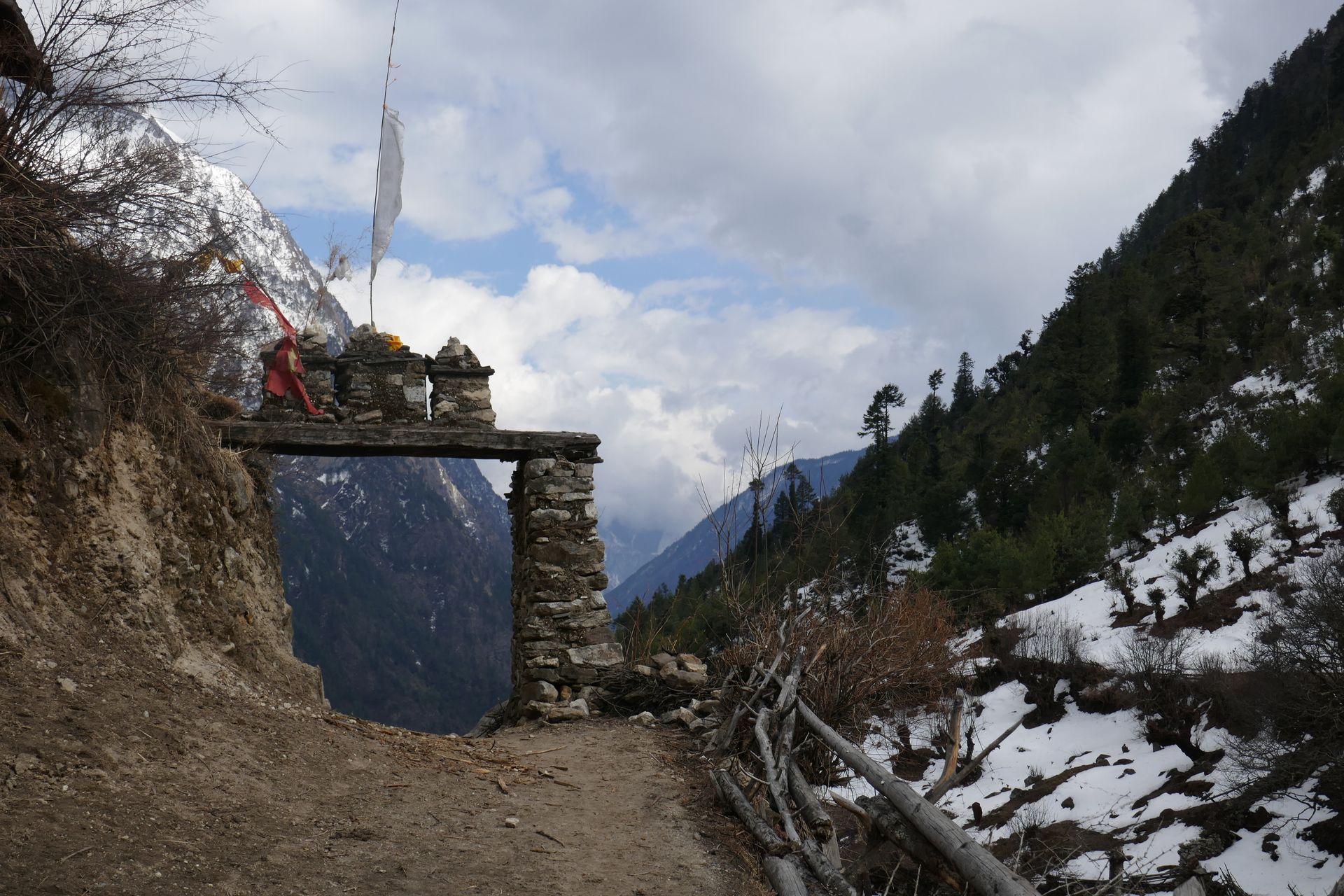
Checkpoint
Jagat (Manaslu)
जगत
1,340 m
Jagat is a stone-paved village at the entrance to the Manaslu Conservation Area, where restricted area and MCAP permits are checked. Beyond it the valley becomes more Tibetan in culture. This is a different Jagat from the one on the Annapurna Circuit.
Read place