

Village
Machhermo
माछेर्मो
Machhermo is a cluster of lodges on the way to Gokyo, often used as an acclimatisation stop. It has a seasonal Himalayan Rescue Association aid post. Local legend tells of a yeti sighting here in the 1970s, and the ridge above gives views of Cho Oyu.
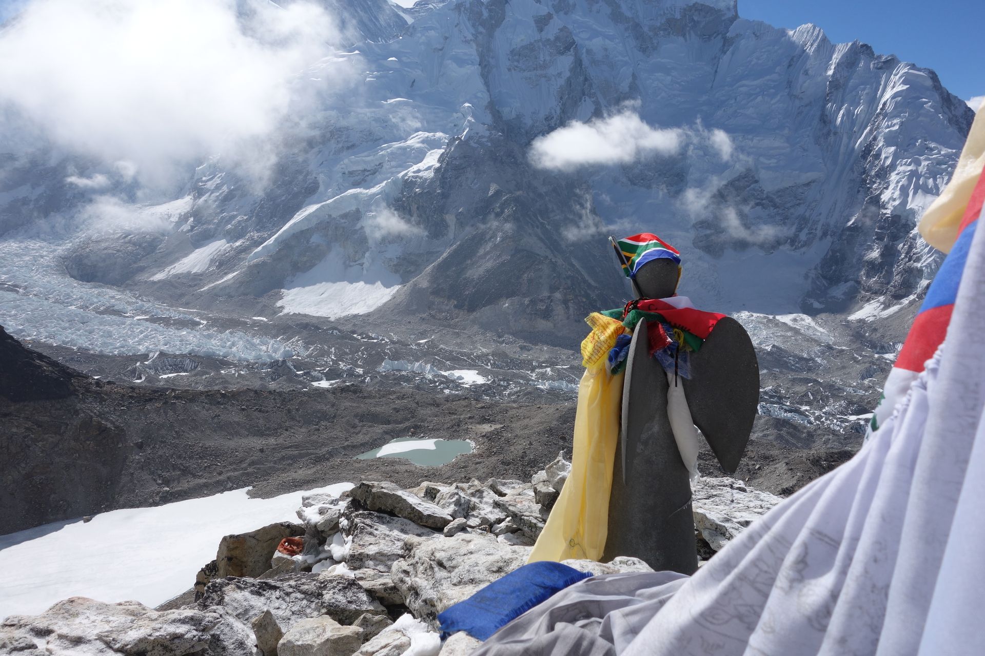
- Elevation: ~4,470 m / 14,665 ft
- Type: Village
- Region: Everest Region
- District: Solukhumbu
- Himalayan Rescue Association aid post (seasonal)
- Treks: Gokyo Lakes Trek, Gokyo Lakes Renjo La Pass Trek, EBC Gokyo Lakes Trek
About Machhermo
Machhermo is a small mountain settlement in the upper Dudh Koshi Valley of the Khumbu region, in Nepal’s Everest area. Situated at approximately 4,470 metres (14,665 feet), it lies along the popular Gokyo Lakes trekking route, between Dole and Gokyo. Surrounded by rugged alpine hills, grazing pastures and dramatic Himalayan peaks, Machhermo is an important overnight stop for trekkers heading towards the Gokyo Lakes and Renjo La Pass.
The village is known for its peaceful mountain atmosphere, traditional yak-grazing landscape and spectacular views of the surrounding Himalayas. Its high altitude also makes it a significant acclimatization stop before trekkers continue towards Gokyo and the Ngozumpa Glacier. Although small and remote, Machhermo offers basic trekking facilities, including family-run tea houses, meals and accommodation.
Location and Altitude
- Location: Upper Dudh Koshi Valley, Khumbu, Solukhumbu District, Nepal
- Altitude: Approximately 4,470 m (14,665 ft)
- Region: Everest region, northeastern Nepal
- Nearby settlements: Dole, Gokyo and Phortse
- National park: Sagarmatha National Park
- Main trekking route: Gokyo Lakes Trek and Everest Three Passes Trek
Machhermo is located north of Dole and south of Gokyo, beneath the terminal moraine of the Ngozumpa Glacier. The settlement sits in an open high-altitude valley with views towards Cho Oyu and the surrounding mountain slopes.
Treks That Pass Through Machhermo
Machhermo is an important stop on several trekking routes in the Everest region.
- Gokyo Lakes Trek: The main route through Machhermo. Trekkers usually walk from Dole to Machhermo and continue towards the Gokyo Lakes, passing high-altitude terrain and glacial scenery.
- Everest Three Passes Trek: Trekkers following the western section of the circuit can visit Machhermo on the way to Gokyo before crossing Renjo La or continuing towards other high mountain passes.
- Gokyo and Everest Base Camp Combined Trek: Some itineraries include Machhermo as part of the Gokyo Valley approach before crossing Cho La towards Dzongla and the Everest Base Camp trail.
Trail walking times: The journey from Dole to Machhermo generally takes around 2–4 hours, depending on pace and conditions. Machhermo to Gokyo usually takes approximately 3-5 hours.
Tea Houses and Accommodation in Machhermo
Machhermo has a small collection of tea houses and trekking lodges that provide accommodation for visitors travelling through the Gokyo Valley. Many are family-run establishments that developed from the area's traditional seasonal grazing settlements.
- Accommodation: Basic private or shared rooms, generally with simple beds and blankets. A sleeping bag is recommended because nights can be very cold.
- Food and Meals: Tea houses commonly serve dal bhat, noodles, rice, potatoes, soups, eggs, porridge and hot drinks.
- Dining Areas: Communal dining rooms provide a warm place to eat, relax and meet other trekkers.
- Facilities: Hot showers, charging facilities and Wi-Fi may be available for additional fees, but services depend on the lodge and available power.
- Seasonal Services: Many lodges operate mainly during the spring and autumn trekking seasons. Some facilities may close during winter or the monsoon.
Machhermo is remote, so trekkers should carry enough cash and essential supplies from Namche Bazaar.
Nature and Landscape of Machhermo
Machhermo is surrounded by a dramatic high-altitude landscape of alpine meadows, rocky slopes, glacial streams and mountain ridges. Unlike the lower Khumbu villages, the area has very little tree cover, and the vegetation becomes increasingly sparse as the trail climbs towards Gokyo.
- Ngozumpa Glacier: The extensive glacial landscape lies close to Machhermo and dominates much of the upper Gokyo Valley.
- Alpine Meadows: Open grazing areas around the settlement provide seasonal pasture for yaks and other livestock.
- Mountain Views: The surrounding landscape offers views towards Cho Oyu, Kangtega, Thamserku and nearby Himalayan ridges.
- Rivers and Streams: Small glacial streams and waterways flow through the valley, contributing to the upper Dudh Koshi river system.
- High-Altitude Wildlife: The wider Sagarmatha National Park landscape supports Himalayan birds and mammals, although wildlife sightings around the settlement are not guaranteed.
The scenery changes noticeably between Dole and Machhermo, with woodland giving way to open alpine terrain and increasingly rugged glacial surroundings.
Best Time to Visit Machhermo
The best times to visit Machhermo are spring (March to May) and autumn (September to November). These seasons generally offer more favourable trekking conditions and better opportunities to enjoy mountain views.
- Spring: Warmer daytime temperatures, clearer trekking conditions and seasonal activity in the mountain settlements.
- Autumn: Often excellent visibility, relatively stable weather and crisp views of the surrounding peaks.
- Winter: Very cold temperatures, possible snowfall and limited lodge services.
- Monsoon: Rain, cloud cover and potentially slippery trails can make trekking less comfortable.
Weather in the high Himalayas can change quickly, so trekkers should check local conditions before setting out.
Main Attractions in Machhermo
Machhermo offers several natural and cultural highlights for trekkers exploring the Gokyo Valley.
- Mountain Scenery: Enjoy views of Cho Oyu and the surrounding Himalayan peaks from the village and nearby hillsides.
- Ngozumpa Glacier Landscape: Explore the dramatic moraine and glacial surroundings near the upper valley.
- Machhermo Viewpoint: Walk to the slopes and ridges above the settlement for wider views of the valley and surrounding mountains.
- Traditional Yak Pastures: Observe the open grazing areas that reflect the area's long connection with seasonal livestock herding.
- Yeti Folklore: Machhermo is associated with a famous reported yeti encounter in 1974. Local accounts describe an alleged attack on a Sherpa woman and her yaks. The story remains part of regional folklore rather than scientifically verified evidence.
History, Culture and Local Life
Machhermo traditionally served as a seasonal grazing area for families from nearby Khumjung and Khunde. During warmer months, families brought their yaks to the high pastures for grazing. As trekking tourism developed along the Gokyo route, the settlement gradually became an important overnight stop, with tea houses and lodges providing services to visitors.
The village reflects the traditional Sherpa connection with mountain agriculture, livestock and seasonal movement between settlements and pastures. Today, tourism plays an important role in the local economy, particularly during the main trekking seasons.
Acclimatization and Altitude Safety
At approximately 4,470 metres, Machhermo is an important acclimatization stop before continuing towards Gokyo, which is higher in elevation. Trekkers often spend a night here to allow their bodies to adjust to the thinner air.
The Himalayan Rescue Association has historically provided altitude-related support and educational talks in Machhermo during trekking seasons, but travellers should confirm whether a medical post is operating before relying on it.
Trekkers should walk slowly, stay hydrated and avoid ascending further when experiencing symptoms of altitude sickness. A worsening headache, nausea, dizziness or unusual fatigue should be taken seriously. Severe symptoms require immediate descent and medical assistance.
Where is Machhermo?
The exact point on the Himalaya trail, with nearby places for context.
On this map
Nearby places
Village
Dole
डोले
4,040 m
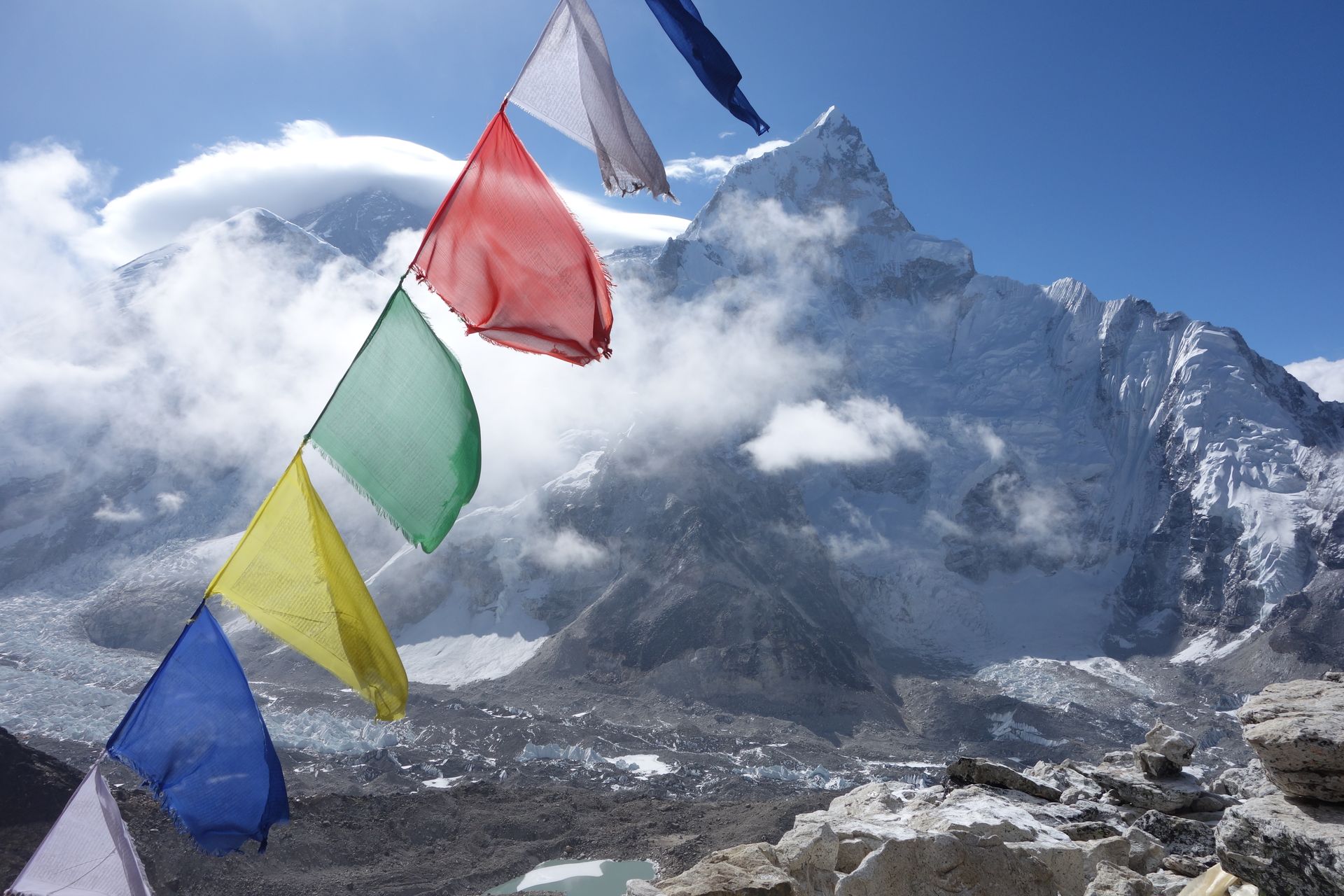
Dole is a small settlement in the Dudh Koshi valley on the trail to Gokyo, reached after a climb through rhododendron and juniper from Phortse Thanga. It is a common overnight stop on the Gokyo Lakes trek, with views of Khumbila, Cho Oyu and Thamserku.
Read place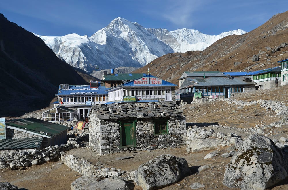
Village
Gokyo
गोक्यो
4,790 m
Gokyo is a lakeside village on the shore of Dudh Pokhari, the third Gokyo lake, beside the Ngozumpa Glacier. It is the main base for climbing Gokyo Ri and exploring the upper lakes. Gokyo is the hub of the western Khumbu, linked to Everest Base Camp by the Cho La and to Thame by the Renjo La.
Read place