

Village
Paiya
पैयाँ
Paiya is a village on the lower Everest trail south of Lukla, used by trekkers walking in from Salleri or the road head instead of flying to Lukla. It is also a stop on the classic Jiri to EBC route.

- Elevation: ~2,730 m / 8,957 ft
- Type: Village
- Region: Everest Region
- District: Solukhumbu
- Treks: Everest Base Camp Trek Classic Route (Via Jiri to EBC)
About Paiya
Paiya, also spelled Paiyan and sometimes known as Chutok, is a small mountain settlement in the Solukhumbu District of Koshi Province, Nepal. Located at approximately 2,700–2,730 metres (8,860–8,960 feet), it lies on the southern approach to the Lukla and Everest trekking region. The village is surrounded by forested hills, terraced farmland and the valleys of the lower Khumbu foothills.
Paiya is an important overnight stop on alternative trekking routes connecting the lower Solukhumbu hills with Lukla, the Everest Base Camp trail and the Hinku Valley approach to Mera Peak. Trekkers may reach it from Surke or Thamdanda, while routes from Paiya continue towards Panggom and the remote Mera Peak region. Its quieter atmosphere and woodland trails make it a pleasant stop for visitors seeking a less crowded approach to the Himalayas.
Location and Altitude
- Location: Lower Khumbu foothills, Solukhumbu District, Nepal
- Province: Koshi Province
- Altitude: Approximately 2,700–2,730 m (8,860–8,960 ft)
- Other names: Paiyan, Chutok
- Nearby settlements: Surke, Lukla, Bupsa and Panggom
- Trekking routes: Mera Peak approach and alternative Everest trekking routes
- Access: On foot from Surke or Thamdanda
Geography and Natural Setting
Paiya is situated among the green hills and forested ridges of southern Khumbu. Its landscape includes sloping farmland, small streams, wooded trails and mountain valleys. Unlike the exposed high-altitude settlements closer to Everest, Paiya has a relatively green and sheltered setting.
The village is also positioned along a network of traditional footpaths connecting the lower Solukhumbu settlements with the Hinku Valley. These trails pass through forest, cross streams and climb over ridges, gradually leading trekkers towards higher Himalayan terrain.
Paiya on the Everest and Mera Peak Trekking Routes
Paiya is particularly useful for trekkers following routes that avoid the direct Lukla-to-Namche approach or the high Zatrwa La crossing.
- Mera Peak Trek: Paiya is used on some longer approaches towards Panggom, Ningsow, Kothe, Thangnak and Khare before the climb to Mera Peak.
- Alternative Everest approach: Trekkers walking from the lower Solukhumbu foothills can pass through Paiya before joining the main Everest trail near the Lukla and Phakding area.
- Lukla to Paiya: The trail descends towards Surke, crosses streams and climbs over Chutok La before reaching Paiya.
- Paiya to Panggom: The route passes through forested terrain and over the Kari La area, with views towards the Dudh Koshi Valley.
Tea Houses and Accommodation in Paiya
Paiya has a small number of local tea houses, lodges and guesthouses that accommodate trekkers travelling between the lower Solukhumbu region, Lukla and the Hinku Valley. These establishments generally provide simple rooms, meals and warm drinks, making the village a convenient overnight stop before continuing towards Panggom or other trekking destinations.
Accommodation is generally basic compared with the larger trekking centres of Lukla and Namche Bazaar. Visitors can expect simple facilities and traditional mountain hospitality. During peak trekking seasons, it is sensible to confirm room availability through a local guide or trekking agency.
Nature and Landscape of Paiya
Paiya is surrounded by green hills, woodland and traditional rural landscapes. Its natural environment makes it an enjoyable stop for trekkers exploring the quieter trails of Solukhumbu.
- Rhododendron forests: Woodland trails around the village include rhododendron and other Himalayan forest vegetation.
- Bamboo groves: Bamboo grows along parts of the lower trekking routes.
- Mountain streams: Small streams and rivers cross the walking trails towards Surke and Panggom.
- Dudh Koshi Valley views: Sections of the surrounding trails offer views towards the Dudh Koshi Valley.
- Birdlife: The forests and hills provide habitat for Himalayan woodland birds and other wildlife.
Beginner Friendly Peak Climb in Nepal+2
Local Culture and Village Life
Paiya is a small rural settlement where agriculture and trekking-related activities contribute to local livelihoods. Terraced fields, traditional houses and mountain footpaths reflect the everyday lifestyle of communities in the Solukhumbu foothills.
The village also provides a glimpse of rural life away from the busier tourist centres. Trekkers passing through can experience local hospitality, enjoy traditional meals and learn about the communities that support trekking in this part of Nepal.
Best Time to Visit Paiya
The best seasons to visit Paiya are spring (March to May) and autumn (September to November).
Spring brings fresh greenery and flowering rhododendrons to the surrounding hills. Autumn generally offers clear skies, comfortable trekking temperatures and good visibility. The monsoon season from June to August can bring heavy rain, muddy paths and slippery forest trails. Winter is quieter and colder, so warm clothing and suitable trekking equipment are recommended.
Main Attractions in Paiya
- Traditional Mountain Village: Experience the peaceful atmosphere and rural lifestyle of the Solukhumbu foothills.
- Rhododendron and Bamboo Forests: Walk along green woodland trails connecting nearby settlements.
- Chutok La: Cross the mountain pass on the trekking approach between Surke and Paiya.
- Kari La Trail: Explore the forested route towards Panggom and the Hinku Valley.
- Dudh Koshi Valley Scenery: Enjoy valley views from sections of the surrounding trekking paths.
- Mera Peak Trekking Route: Use Paiya as an overnight stop on the longer approach towards Mera Peak.
Nearby Places to Explore
- Surke: A small settlement below Lukla, connected to Paiya by a trekking trail.
- Lukla: The famous mountain town and gateway to the Everest region.
- Panggom: A traditional village on the southern approach to the Hinku Valley and Mera Peak.
- Bupsa: A small mountain settlement along the lower Khumbu trekking trails.
- Phakding: A popular riverside village on the classic Everest Base Camp route.
Where is Paiya?
The exact point on the Himalaya trail, with nearby places for context.
On this map
Nearby places
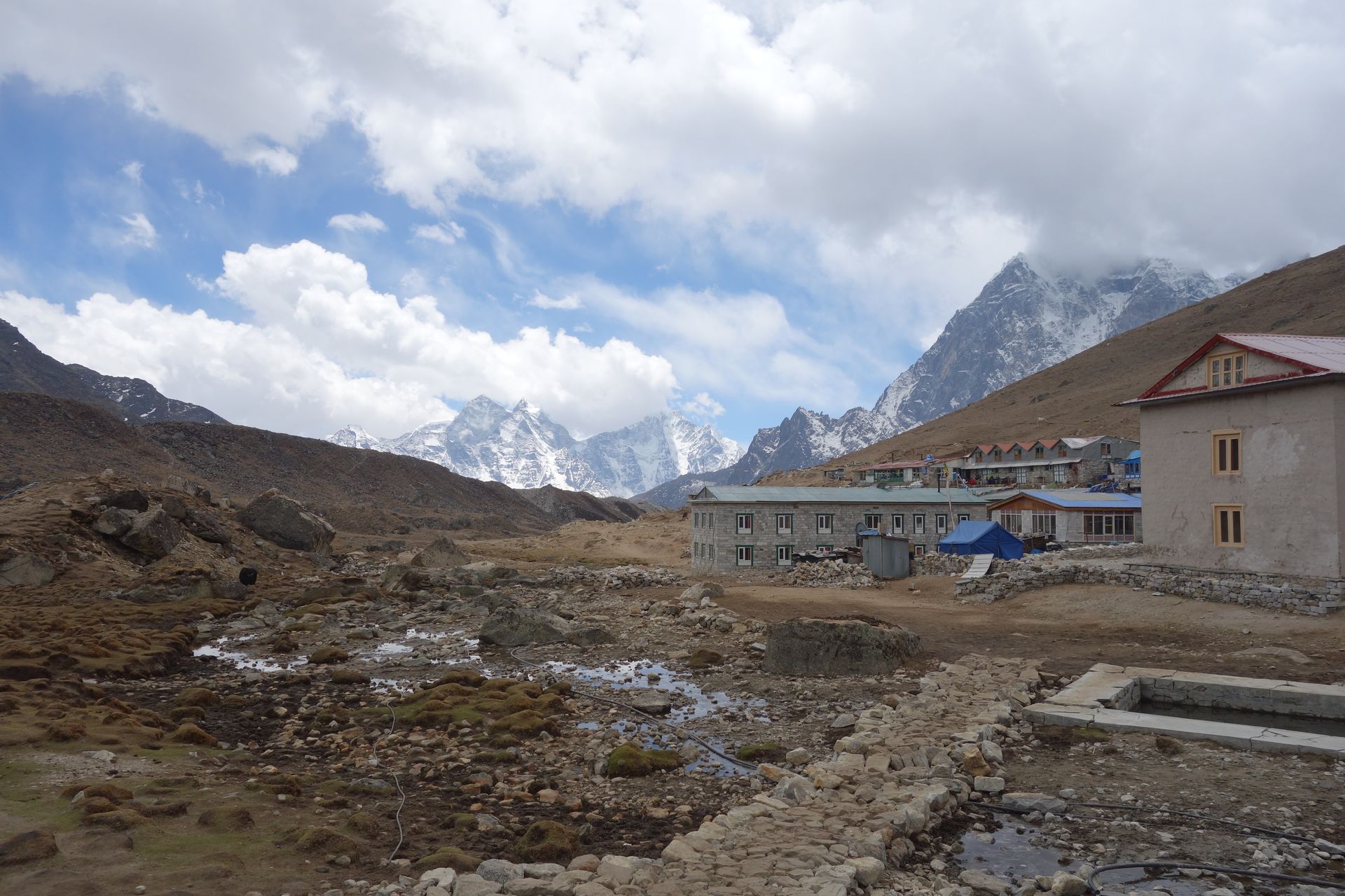
Village
Surke
सुर्के
2,290 m
Surke is a small village below Lukla on the walking route from Jiri and Salleri. Trekkers on the classic route climb from here to Lukla or Chaurikharka. It sees far fewer trekkers than the main trail.
Read place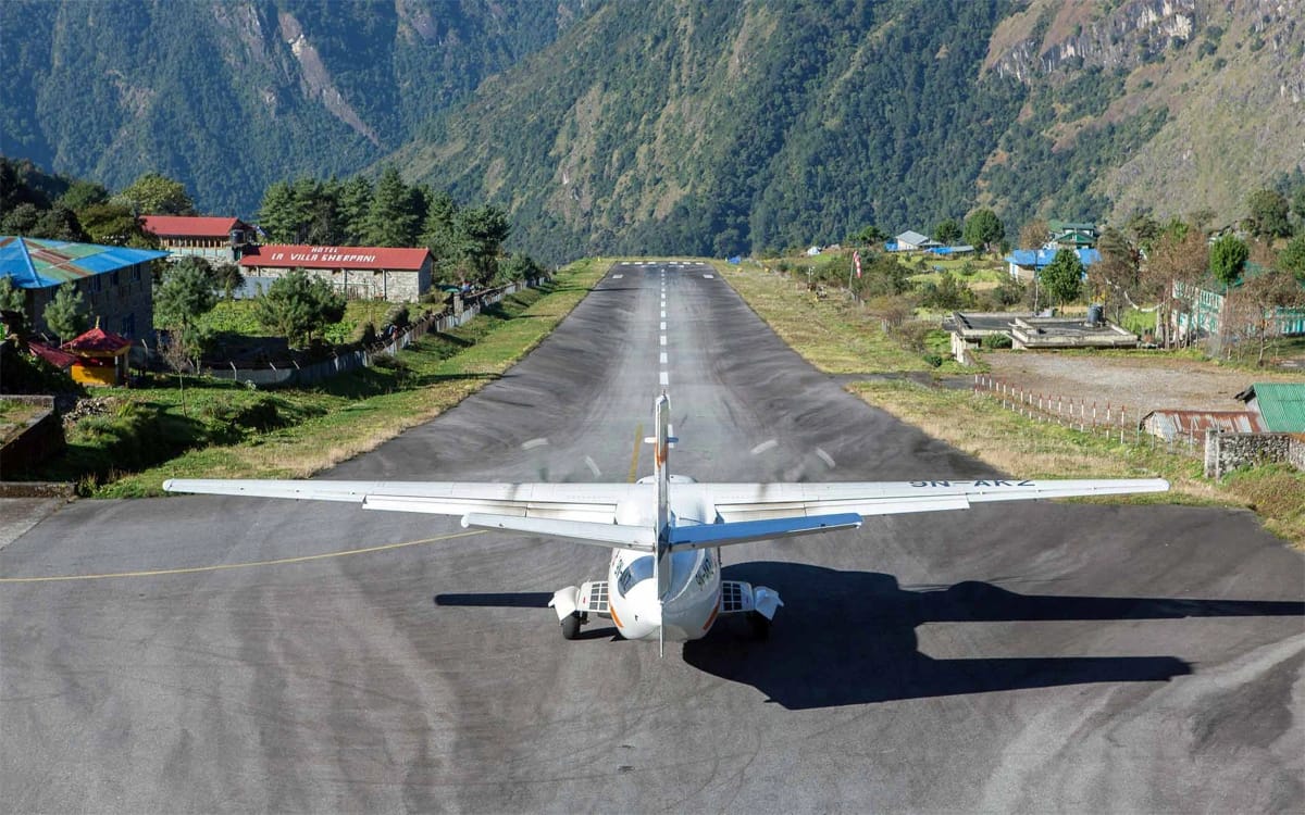
Town / city
Lukla
लुक्ला
2,860 m
Lukla is the bustling gateway town of the Everest Region, where nearly every Khumbu trek begins and ends. Trekkers arrive on a short, scenic flight from Kathmandu or Ramechhap and set off north along the Dudh Koshi valley the same day.
Read place