

Village
Simigaun
सिमीगाउँ
Simigaun is a Sherpa and Tamang village perched above the Tamakoshi river at the entrance to the Rolwaling valley. It has a small gompa and wide views of Gaurishankar. Trekkers climb here from the road-head at Gongar or Chhetchhet on the first day of the Rolwaling trek.
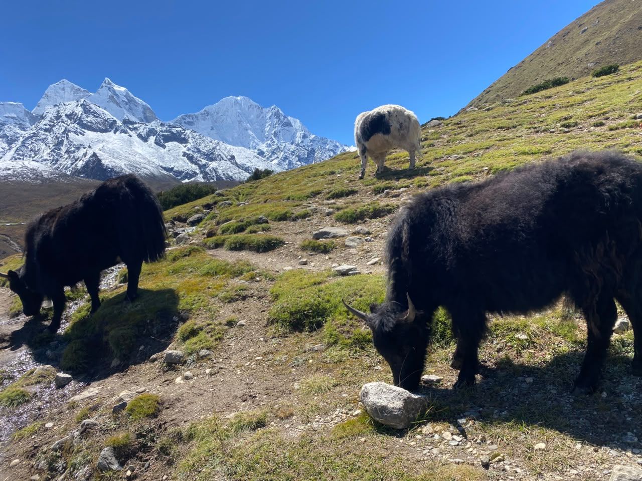
- Elevation: ~2,000 m / 6,562 ft
- Type: Village
- Region: Rolwaling and Jiri Region
- District: Dolakha
- Treks: Rolwaling Valley Trek, Tashi Lapcha Pass Trek
About Simigaun
Simigaun is a Sherpa and Tamang village perched above the Tamakoshi river at the entrance to the Rolwaling valley. It has a small gompa and wide views of Gaurishankar.
Trekkers climb here from the road-head at Gongar or Chhetchhet on the first day of the Rolwaling trek.
Location and altitude
Simigaun sits at about 2,000 m (6,562 ft) in Dolakha district, in the Rolwaling and Jiri Region of Nepal. It lies within Gaurishankar Conservation Area. Nearby places include Beding and Charikot.
Treks that visit Simigaun
Simigaun is part of these Nepal Trek Services itineraries: Rolwaling Valley Trek and Tashi Lapcha Pass Trek.
Best time to visit
Simigaun can be visited most of the year. Spring (March to May) and autumn (September to November) give the clearest mountain views; the June–August monsoon brings rain, leeches and cloud, and winter is cool but often clear.
Where is Simigaun?
The exact point on the Himalaya trail, with nearby places for context.
On this map
Nearby places
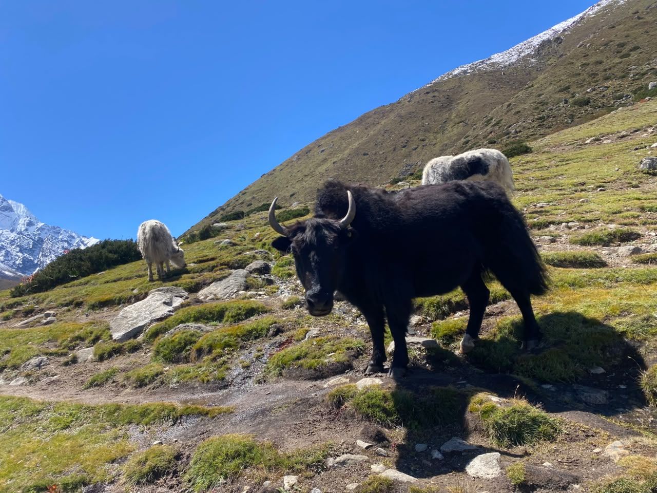
Village
Beding
बेदिङ
3,690 m
Beding is the main village of the Rolwaling valley, a cluster of stone houses and a gompa on the Rolwaling Chu. Many of its families are climbing Sherpas. It is an acclimatisation stop before Na and the high route to Tsho Rolpa.
Read place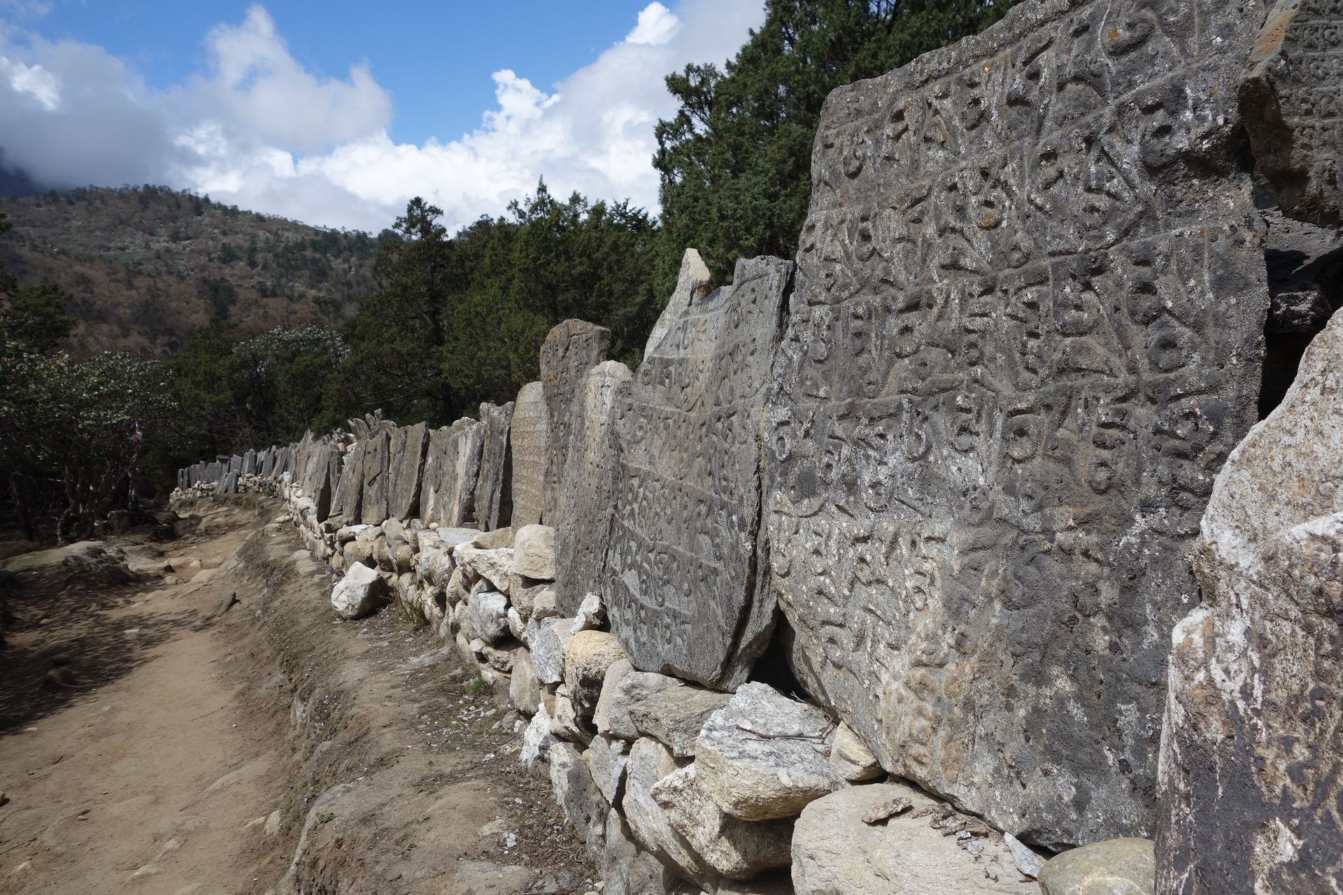
Town / city
Charikot
चरिकोट
1,970 m
Charikot is the district headquarters of Dolakha, a ridge-top town on the road to Jiri with views of Gaurishankar. Nearby Dolakha Bazaar is home to the Bhimsen temple. It is the road junction for the Rolwaling Valley via Gongar and Singati.
Read place