

Guide
Manaslu Region Treks: Frequently Asked Questions
Answers to the most common questions about Manaslu region treks – the circuit, best time, permits, guides, difficulty, Larkya La, teahouses, food, ATMs, altitude sickness, insurance and getting there.
Updated November 22, 2026
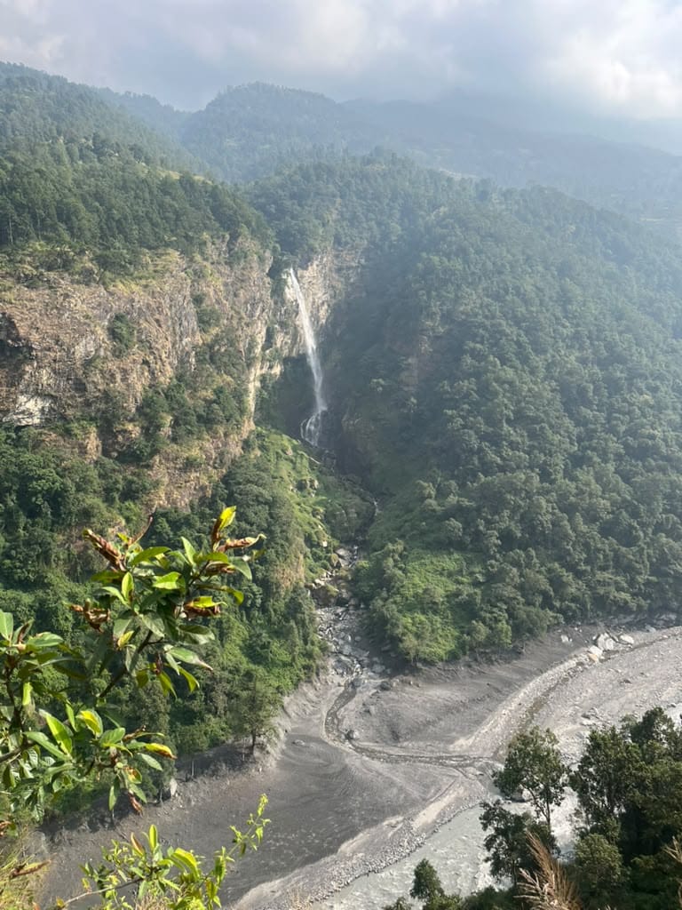
Most of our guides and porters come from the Manaslu region, so these are questions we answer every day. If yours is not here, just ask us.
Quick Facts
Mount Manaslu | 8,163 m – the world's eighth-highest mountain |
|---|---|
Classic trek | Manaslu Circuit, 12–15 days |
Highest point | Larkya La pass, 5,106 m |
Difficulty | Challenging |
Accommodation | Teahouses |
Permits | Manaslu RAP, MCAP, ACAP (plus Tsum RAP for Tsum Valley) |
Guide | Licensed guide mandatory |
Best seasons | Late Sep–Nov and Mar–May |
About the Treks
What is the Manaslu Circuit trek?
A loop around Manaslu, following the Budhi Gandaki valley from Soti Khola or Machha Khola through Gurung and Tibetan-Buddhist villages, crossing the Larkya La and descending to Dharapani in the Marsyangdi valley.
Which treks are there in the Manaslu region?
The Manaslu Circuit, Tsum Valley, the combined Tsum Valley and Manaslu trek, Rupina La, Manaslu Three Passes and shorter options such as the Lower Manaslu trek. See our Manaslu treks or our specialist site Manaslu Guides.
How long does it take?
The Manaslu Circuit takes 12–15 days including Kathmandu; Tsum Valley adds about a week.
How high is Mount Manaslu, and what kind of mountain is it?
Manaslu rises to 8,163 m. Its name comes from the Sanskrit manasa, meaning "spirit" or "soul". It is a huge glaciated massif with a long ridge and two prominent summits, first climbed by a Japanese expedition in 1956.
Planning
When is the best time to trek?
Late September to November for clear views and stable weather, and March to May for rhododendrons and warmer days. Winter brings snow on Larkya La, and the monsoon (June–August) makes the lower trail wet and prone to landslides.
What is the climate like?
The trek climbs from subtropical valleys at about 700 m to alpine terrain above 5,000 m. Lower villages are warm, while nights at Samdo and Dharamsala are well below freezing in autumn and spring.
How do I get to the start?
By road from Kathmandu to Soti Khola or Machha Khola (about 7–9 hours) via Dhading Besi and Arughat. Private jeeps are the most comfortable option. The trek ends at Dharapani, with a drive back via Besisahar.
Permits and Guides
What permits do I need?
The Manaslu Restricted Area Permit (RAP), the Manaslu Conservation Area Permit (MCAP) and the Annapurna Conservation Area Permit (ACAP) for the exit. Tsum Valley needs its own RAP. See our full permits and fees guide.
Can I trek independently?
No. Manaslu is a restricted area – you must trek with a licensed guide arranged through a registered agency. Since March 2026, solo trekkers can obtain the permit in their own name, but the guide is still mandatory.
Why do I need a guide and porters?
Besides being a legal requirement, a local guide handles permits and checkpoints, finds lodges in busy season, watches for altitude sickness and shares the culture of the valley. Porters carry your main bag so you can enjoy the walk.
On the Trail
How difficult is the trek?
Challenging: long days of 6–8 hours, steep sections, landslide areas and one very long day over Larkya La. No climbing skills are needed, but good fitness and previous hiking experience are recommended.
What is the highest point?
The Larkya La pass at 5,106 m, crossed between Dharamsala (Larke Phedi) and Bimthang.
What accommodation can I expect?
Simple, family-run teahouses with twin rooms and shared bathrooms. Facilities become more basic above Samagaun, and Dharamsala is the simplest stop.
What food is available?
Dal bhat, noodles, soups, Tibetan bread, potatoes, eggs and porridge. Menus are smaller than on the Annapurna or Everest routes, but meals are hearty and freshly cooked.
Are there ATMs?
No ATMs after Arughat. Carry enough Nepalese rupees in cash for the whole trek.
What should I pack?
Layered clothing, a warm down jacket, a sleeping bag rated to about −15 °C, broken-in boots, sun protection, a head torch and water purification. See our trekking equipment list.
Safety
How dangerous is the Manaslu trek?
With a licensed guide, a sensible itinerary and proper acclimatisation, the Manaslu Circuit is safe for fit trekkers. The main risks are altitude sickness, landslides in the monsoon, and snow and cold on Larkya La.
What about altitude sickness?
Ascend gradually and take at least one acclimatisation day at Samagaun – ideally with a hike towards Manaslu Base Camp or Birendra Lake. Drink plenty of water and tell your guide about any symptoms. If symptoms get worse, descend immediately.
Do I need travel insurance?
Yes. Your policy must cover trekking up to at least 5,200 m and emergency helicopter evacuation.
Ready for Manaslu?
Explore our Manaslu Circuit and Tsum Valley treks, or contact us to design your own route.
