Mountain peak
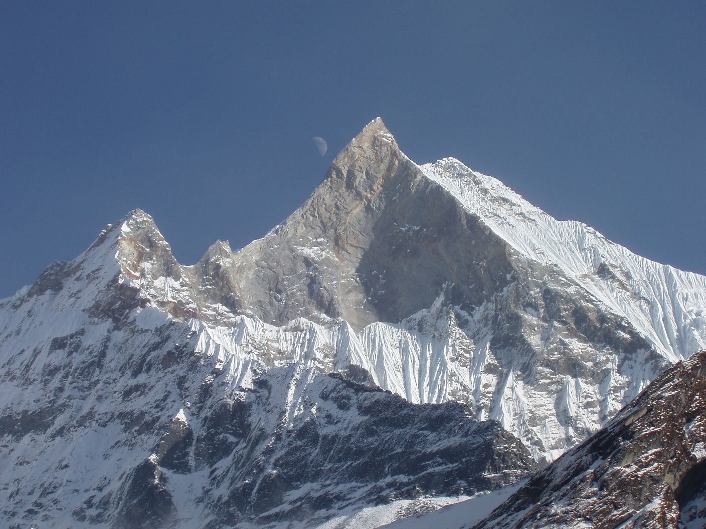
माछापुच्छ्रे
6,993 m
Machhapuchhre, the “fishtail”, is a 6,993 m peak whose split summit is the symbol of Pokhara. It is sacred to Shiva and has never been officially climbed; a 1957 team turned back just below the top. Mardi Himal and Annapurna Base Camp treks give the closest views.
Read place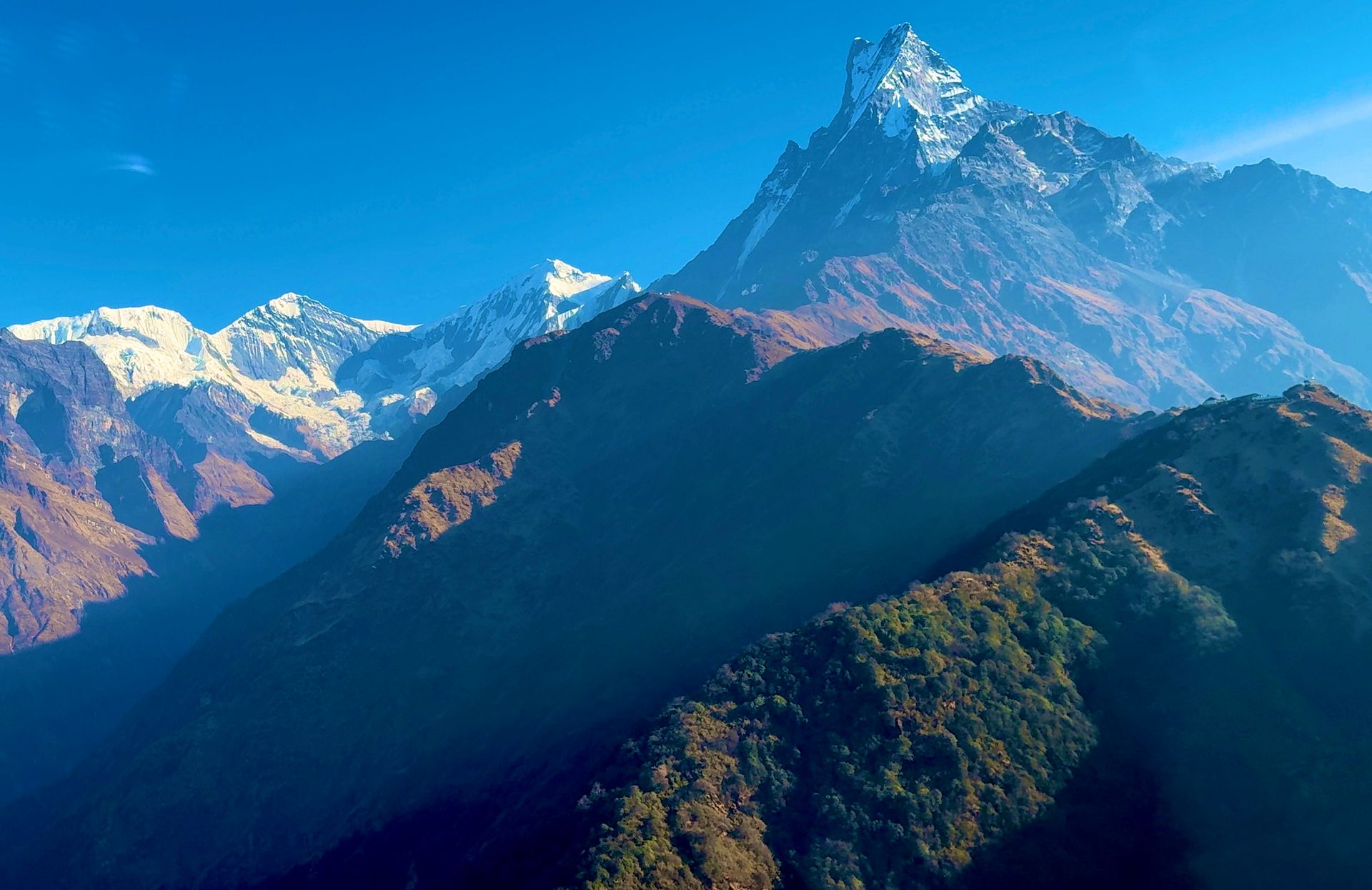
Base camp
माछापुच्छ्रे आधार शिविर
3,700 m
Machhapuchhre Base Camp, often called MBC, sits at the entrance to the Annapurna Sanctuary right beneath the Fishtail peak. No climbing takes place here since the mountain is closed to expeditions. It is the last stop before Annapurna Base Camp and offers stunning sunset views of Machhapuchhre.
Read place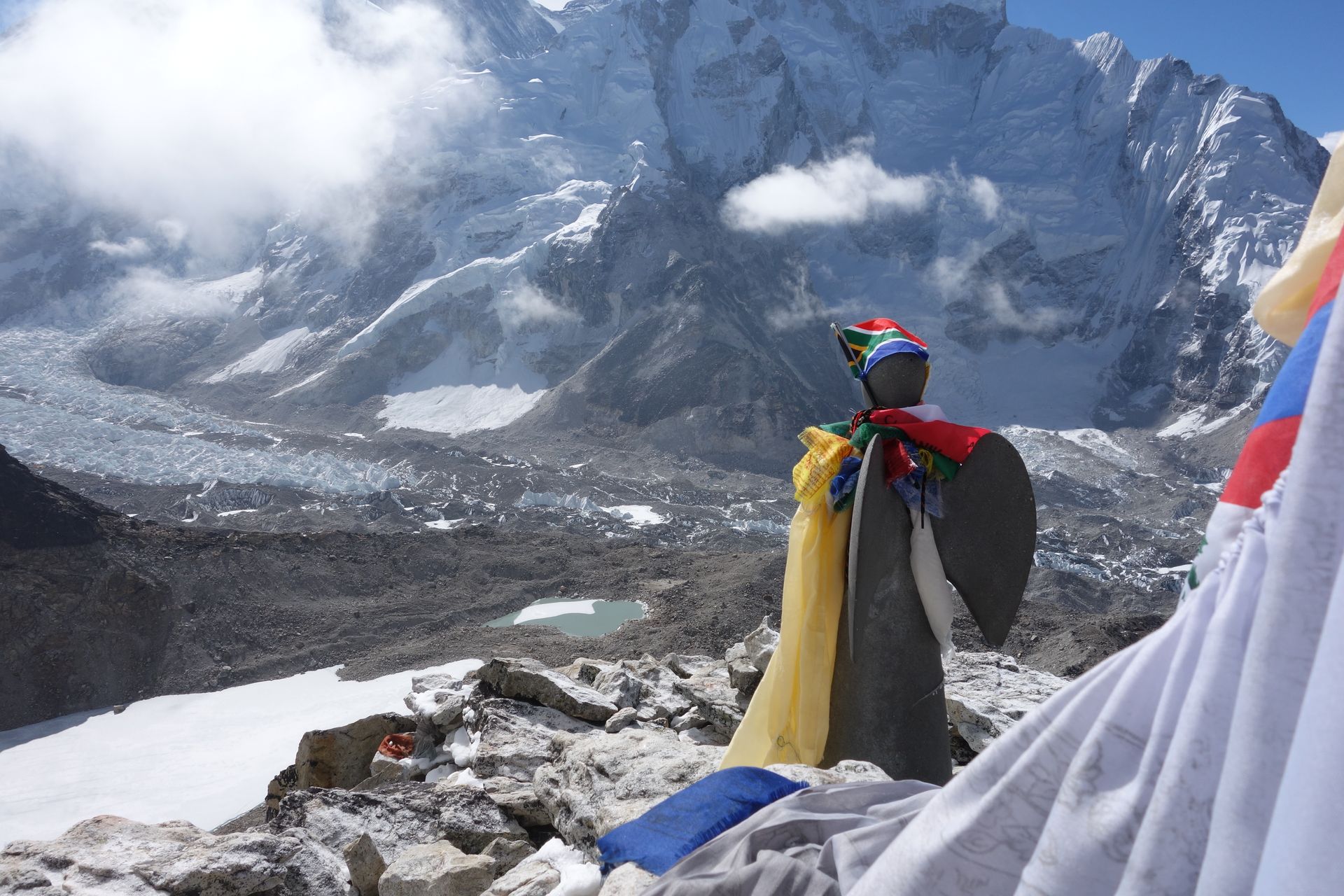
Village
माछेर्मो
4,470 m
Machhermo is a cluster of lodges on the way to Gokyo, often used as an acclimatisation stop. It has a seasonal Himalayan Rescue Association aid post. Local legend tells of a yeti sighting here in the 1970s, and the ridge above gives views of Cho Oyu.
Read place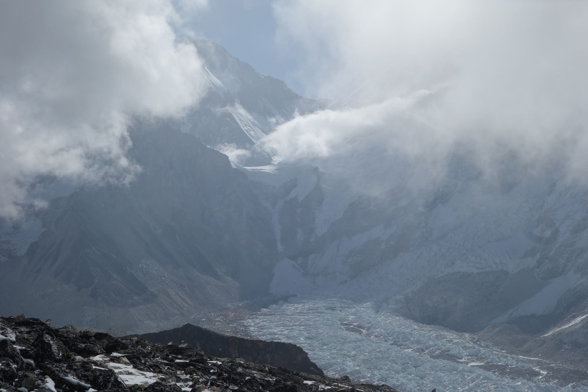
Mountain range
महालङ्गुर हिमाल
8,849 m
The Mahalangur Himal is the range that includes Everest, Lhotse, Makalu and Cho Oyu, four of the six highest mountains on Earth. It straddles the Nepal–Tibet border. The Everest and Makalu treks explore its southern side.
Read place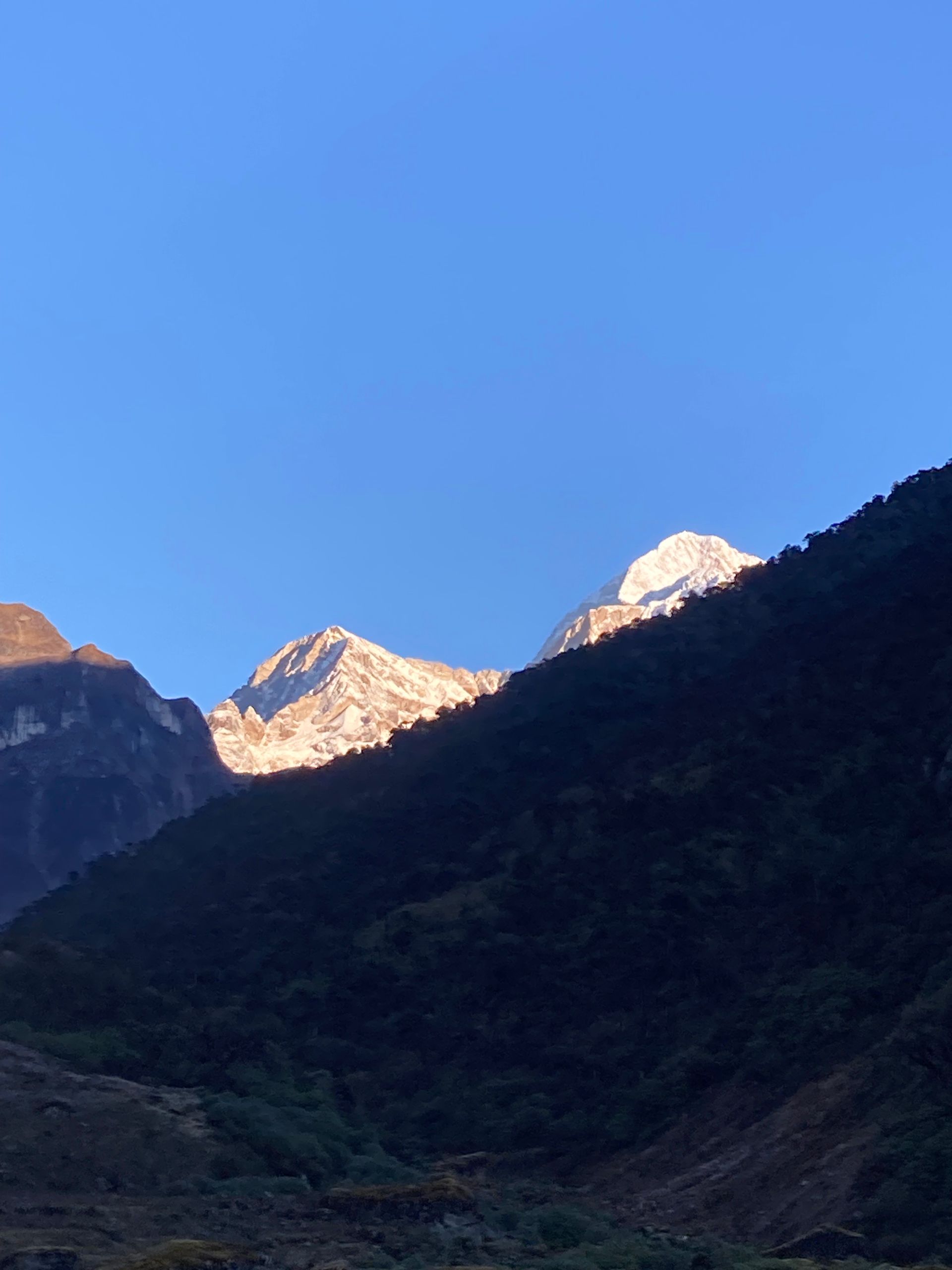
Conservation area
मकालु बरुण राष्ट्रिय निकुञ्ज
344 m
Makalu Barun National Park, established in 1992, covers about 1,500 km² and spans one of the greatest elevation ranges of any protected area. It protects pristine forests, red panda, snow leopard and many rare plants. Trekkers need a park permit, checked at Seduwa.
Read place
Base camp
मकालु आधार शिविर
4,870 m
Makalu Base Camp sits at the head of the Barun valley beneath the huge south face of Makalu. It is one of the most remote base camp treks in Nepal. Side trips lead to views of Everest and Lhotse from the ridges above.
Read place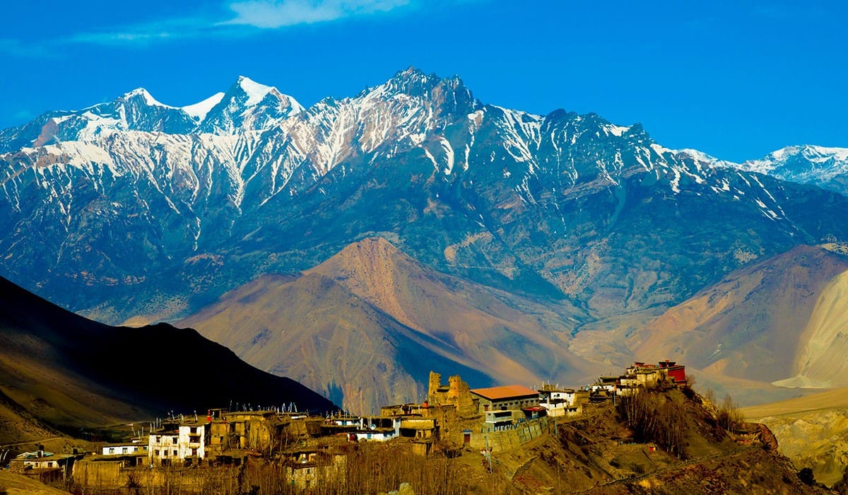
Village
मनाङ
3,540 m
Manang is the largest village in the upper Marsyangdi and the main acclimatisation stop on the Annapurna Circuit. Its flat-roofed stone houses sit beneath Annapurna III and Gangapurna. Popular acclimatisation hikes include Gangapurna Lake, the Praken Gompa and Ice Lake.
Read place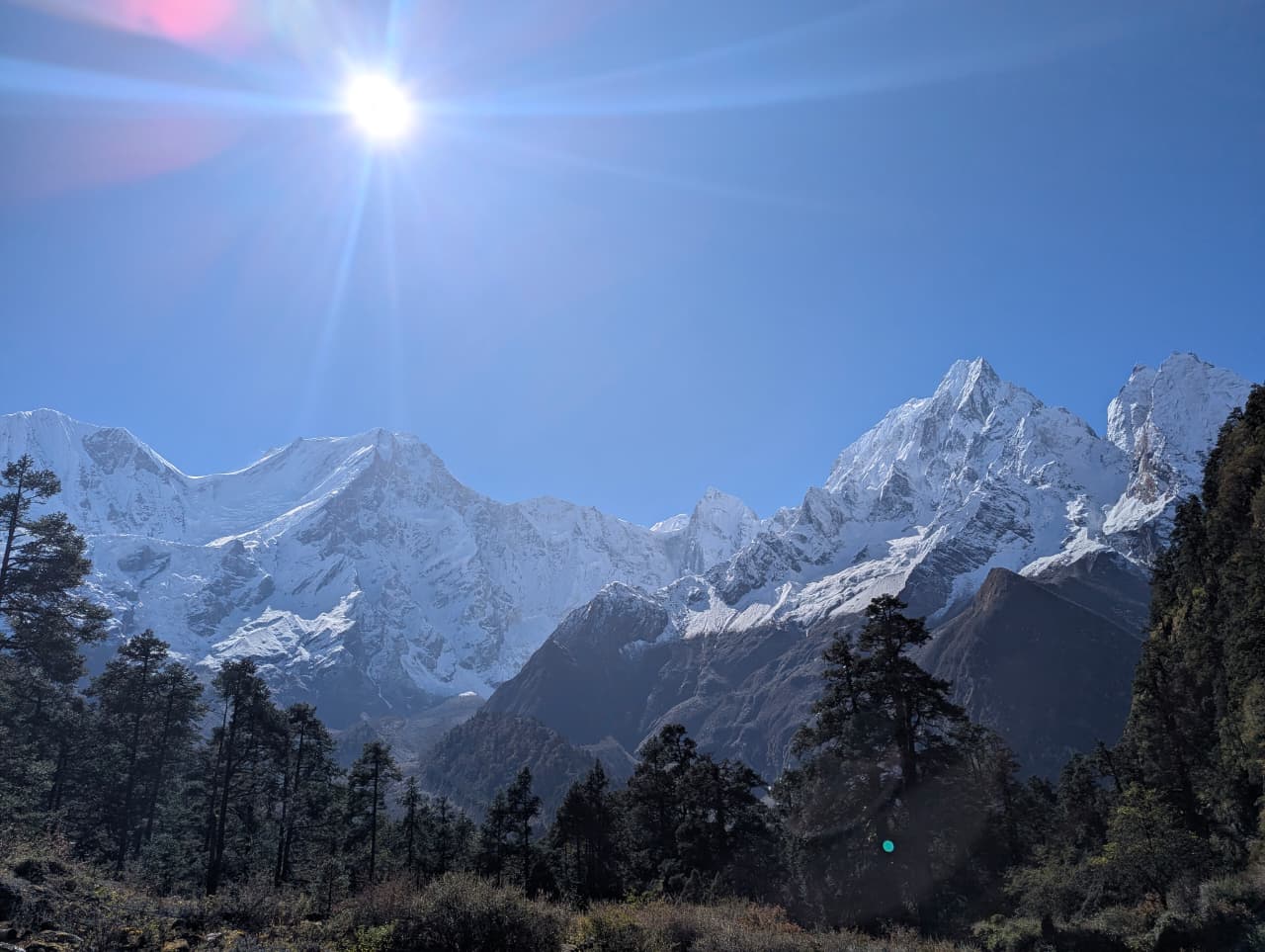
Base camp
मनास्लु आधार शिविर
4,900 m
Manaslu Base Camp is the expedition base above Samagaun, reached in a steep day hike past Birendra Tal. It has close views of the Manaslu glacier and icefall. It is a popular acclimatisation day on the Manaslu Circuit.
Read place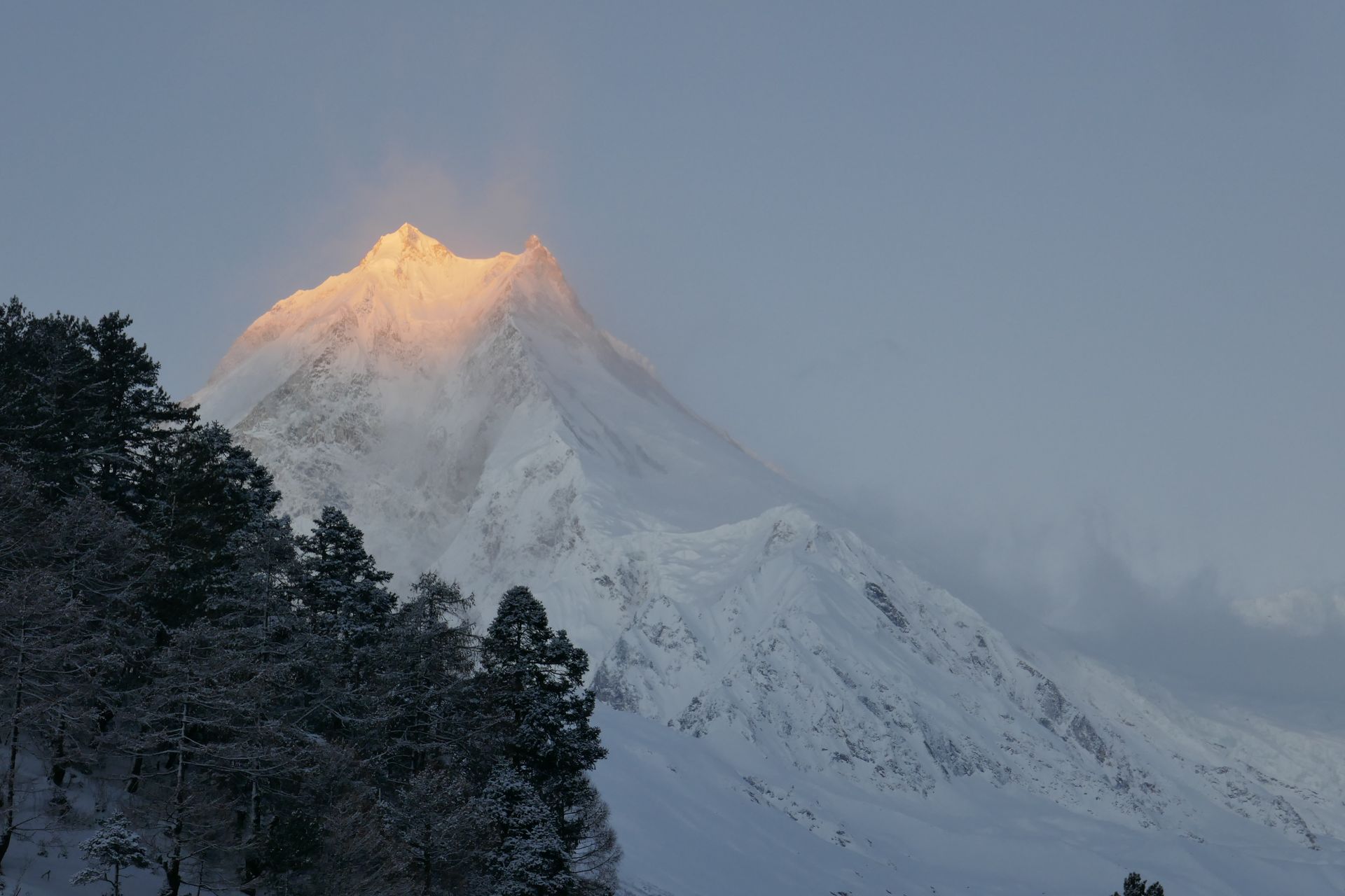
Conservation area
मनास्लु संरक्षण क्षेत्र
1,360 m
The Manaslu Conservation Area, established in 1998, covers about 1,663 km² around Manaslu, including the Nubri and Tsum valleys. It is a restricted area, so trekkers need special permits and a licensed guide. It protects snow leopard, red panda and blue sheep, along with Nubri and Tsumba culture.
Read place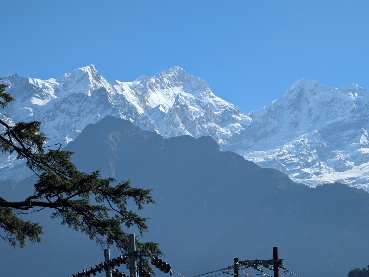
Glacier
मनास्लु हिमनदी
3,600 m
The Manaslu Glacier flows down the east face of Manaslu to Birendra Tal near Samagaun. Ice frequently breaks off into the lake. It is seen on the hike to Manaslu Base Camp.
Read place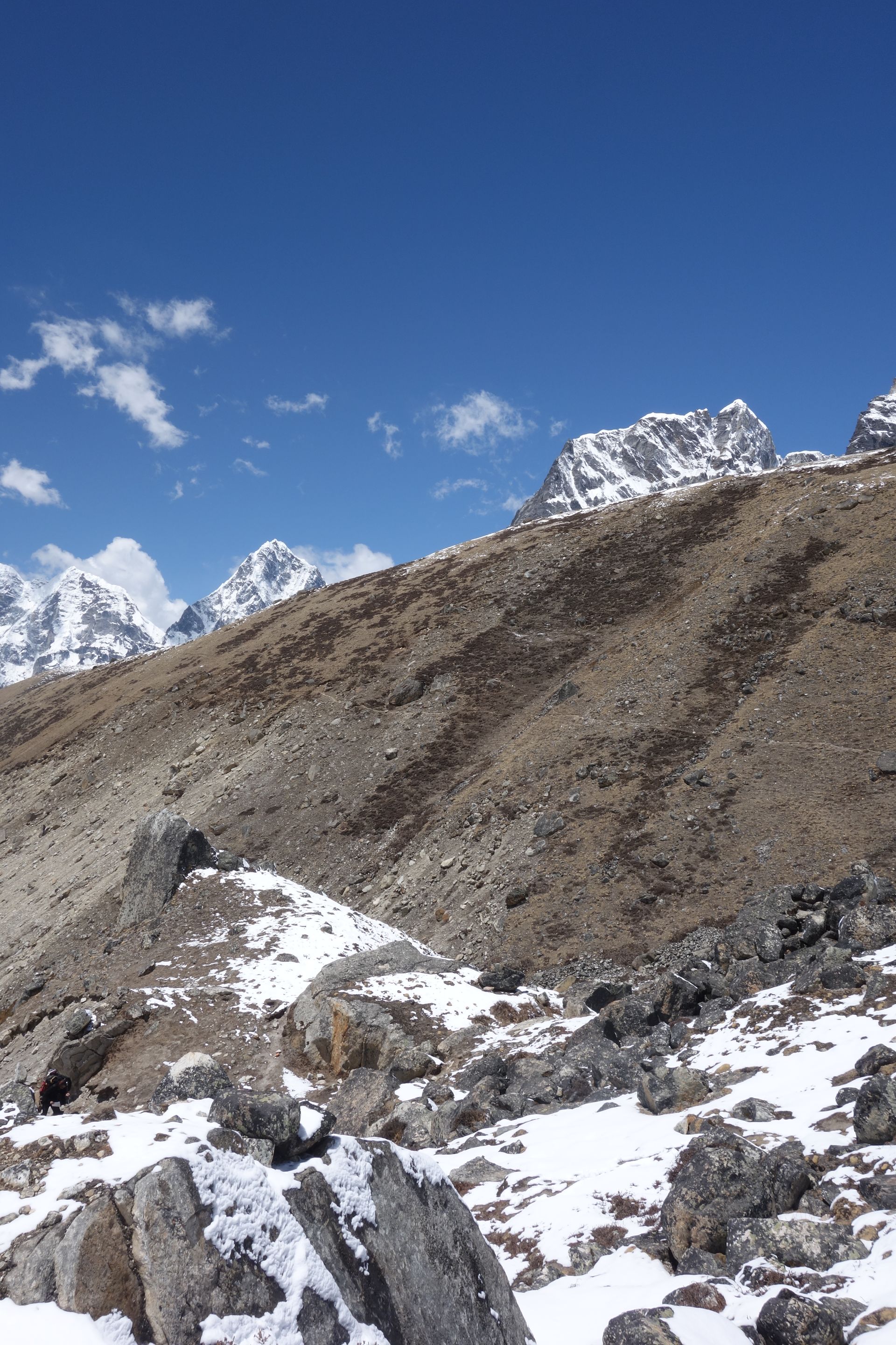
Airstrip / airport
मन्थली विमानस्थल
470 m
Manthali Airport in Ramechhap is used for most Lukla flights in the peak spring and autumn seasons, to ease traffic at Kathmandu. It is about four to five hours’ drive from Kathmandu. Trekkers usually leave Kathmandu very early to reach it.
Read place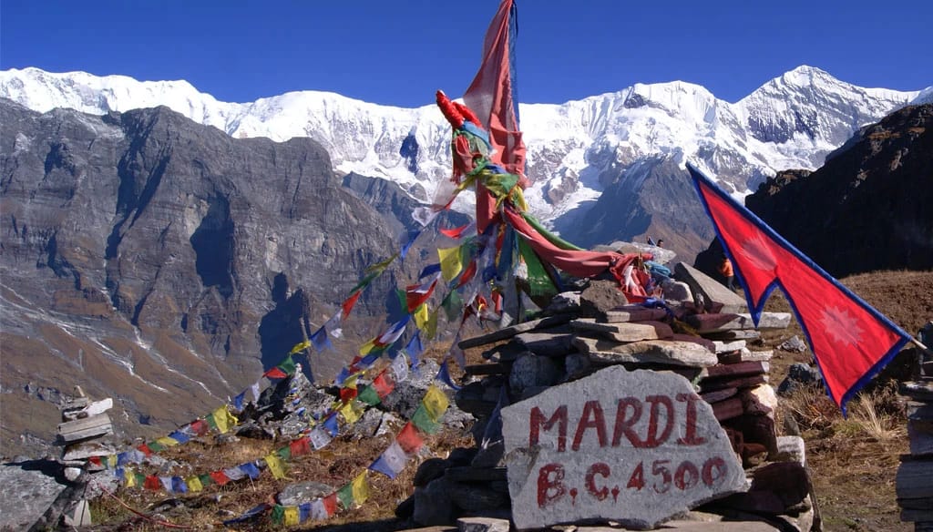
Mountain peak
मार्दी हिमाल
5,587 m
Mardi Himal is a 5,587 m peak on the southern ridge of Machhapuchhre, the namesake of the popular Mardi Himal trek. Its broad ridge offers some of the closest views of Machhapuchhre.
Read place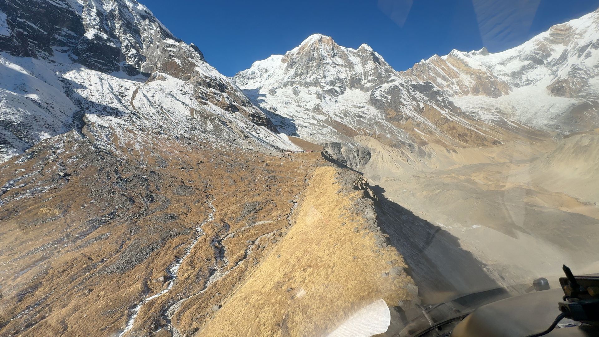
Base camp
मार्दी हिमाल आधार शिविर
4,500 m
Mardi Himal Base Camp lies on the ridge beneath Mardi Himal and Machhapuchhre, reached from High Camp via the Upper Viewpoint. It looks over the Annapurna Sanctuary peaks. There are no lodges; trekkers visit as a day walk.
Read place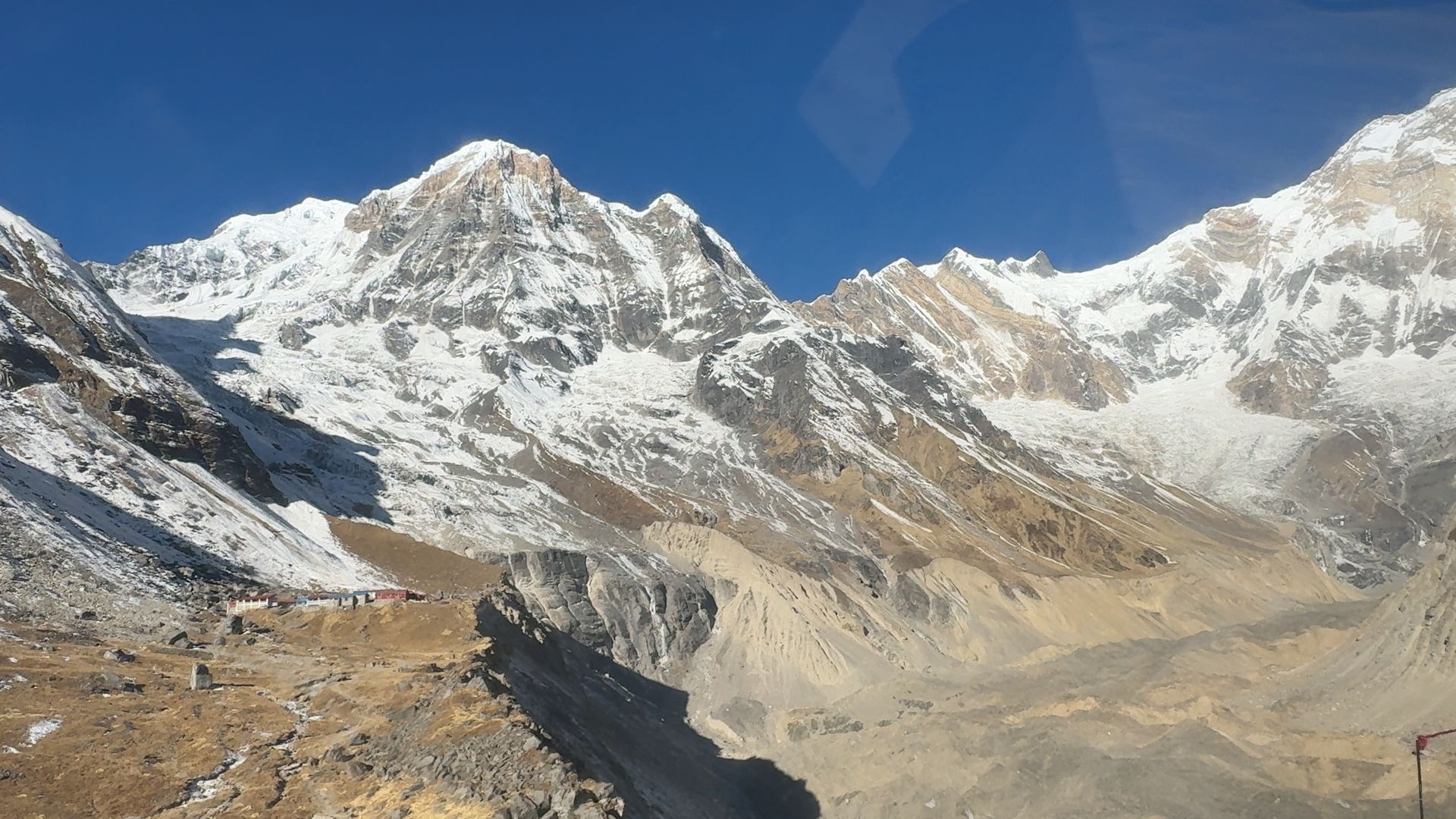
Camping site
मार्दी हिमाल हाई क्याम्प
3,580 m
Mardi Himal High Camp is the highest overnight stop on the Mardi Himal trek, on an open ridge with close views of Machhapuchhre. From here trekkers climb to the Upper Viewpoint and Base Camp at dawn. Lodges are basic, and the ridge can be very windy.
Read place
Village
मार्फा
2,670 m
Marpha is a whitewashed Thakali village south of Jomsom, famous for its apple orchards, cider and brandy. Its paved lanes and monastery make it one of the most attractive villages in Mustang. It is a pleasant overnight stop on the Annapurna Circuit and Lower Mustang treks.
Read place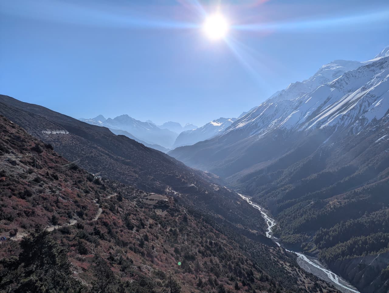
River
मर्स्याङ्दी नदी
350 m
The Marsyangdi rises in the high valleys of Manang and flows through a deep gorge between the Annapurna and Manaslu ranges to join the Trishuli at Mugling. The eastern half of the Annapurna Circuit follows the river from Besisahar to Manang.
Read place
Village
मेलम्ची घ्याङ
2,530 m
Melamchi Ghyang is a Hyolmo village with a large gompa in the upper Helambu region. It sits on a ridge facing the Jugal Himal. It links Tharepati with Tarkeghyang on the Helambu circuit.
Read place
Mountain peak
मेलुङ्त्से
7,181 m
Melungtse is a 7,181 m peak just across the border in Tibet, the highest in the Rolwaling Himal. It is seen from the high points of the Rolwaling trek. It was first climbed by Slovenian climbers in 1992.
Read place
Village
मेटा
3,560 m
Meta is a seasonal settlement on a plateau in the Nar Phu valley, the first overnight stop after Koto. It has views of Annapurna II and Lamjung Himal. From here the trail continues to Phu or Nar.
Read place
Viewpoint
मिल्के डाँडा
3,500 m
Milke Danda is a long, high ridge in eastern Nepal covered in rhododendron forest, with views of Kanchenjunga and Makalu. It is part of the Tinjure–Milke–Jaljale trek. It is remote and peaceful, with few visitors.
Read place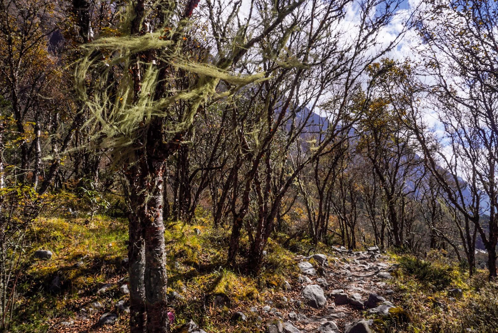
Forest
मिल्के जलजले गुराँस वन
2,500 m
The Milke–Jaljale area holds one of the richest rhododendron forests in the world, with most of Nepal’s rhododendron species. It is known as the rhododendron capital of Nepal. The forests bloom red, pink and white in March and April.
Read place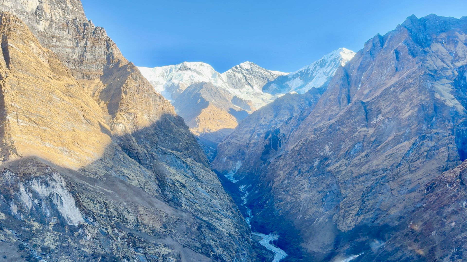
River
मोदी खोला
800 m
The Modi Khola drains the Annapurna Sanctuary, flowing south through a deep gorge past Chhomrong and Nayapul to join the Kali Gandaki near Kushma. The Annapurna Base Camp trail follows it all the way to its source.
Read place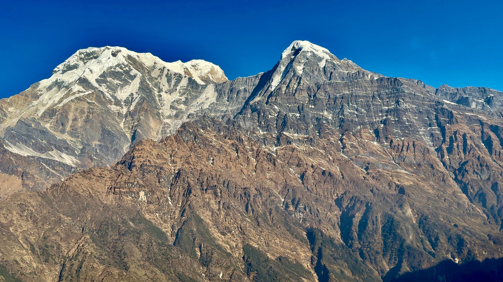
Viewpoint
मोहरे डाँडा
3,300 m
Mohare Danda is a ridge-top viewpoint west of Poon Hill, developed as a community eco-trek by the villages of Nangi and Mohare. Its sunrise views span Dhaulagiri, Annapurna and Machhapuchhre. It is a quieter alternative to Poon Hill.
Read place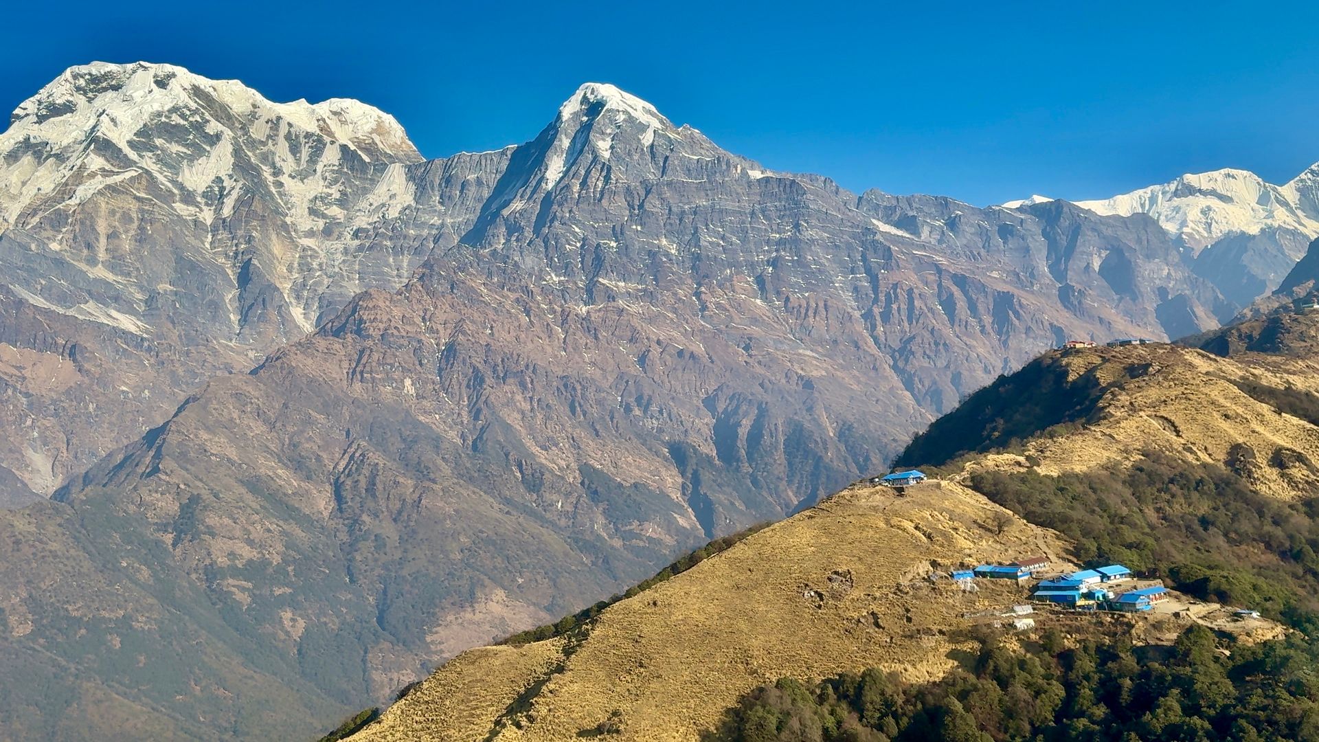
Teahouse / lodge
मोहरे डाँडा सामुदायिक लज
3,300 m
The Mohare Danda Community Lodge is a community-run eco-lodge on the Mohare ridge, developed by the people of Nangi and nearby villages. It has sunrise views of Dhaulagiri and Annapurna. Income from the lodge supports local projects.
Read place

