Village
मोन्जो
2,835 m
Monjo is a small village just below the entrance to Sagarmatha National Park, where trekkers show their park permit and local area entry card. Some itineraries stay here instead of Phakding to shorten the climb to Namche.
Read place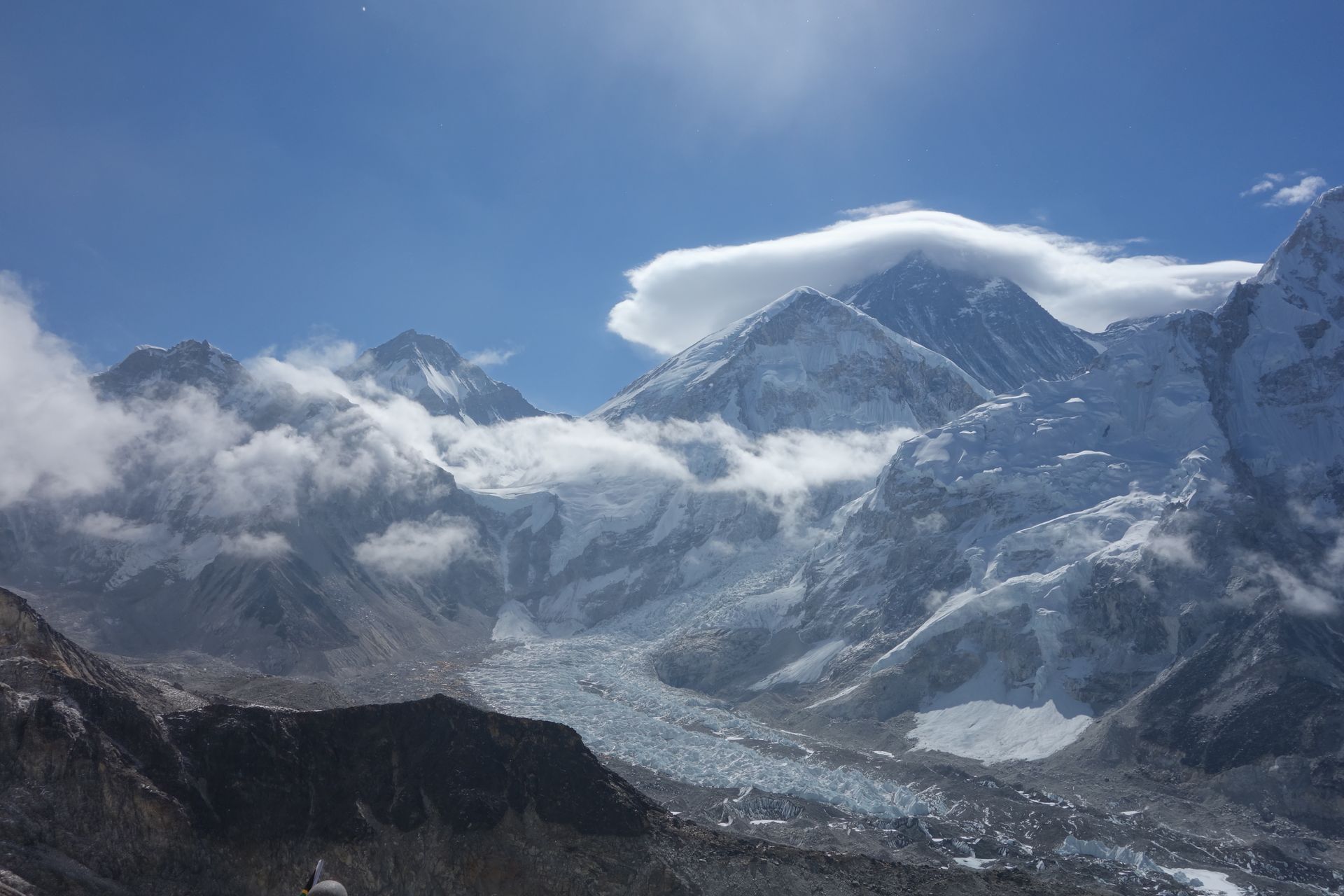
Mountain peak
सगरमाथा (Sagarmatha) / Chomolungma
8,849 m
Mount Everest, known in Nepal as Sagarmatha and in Tibetan as Chomolungma, is the highest mountain on Earth at 8,849 m. It stands on the Nepal–Tibet border at the head of the Khumbu valley and is the centrepiece of every Everest Region trek.
Read place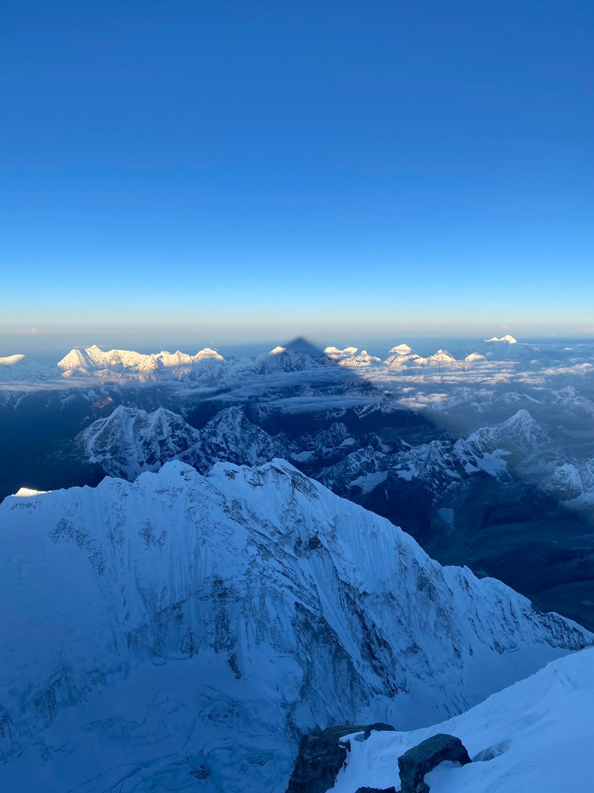
Mountain peak
Sewalungma (सेवालुङ्मा)
8,587 m
Mount Kanchenjunga, rising 8,586 meters in eastern Nepal, is the world’s third-highest mountain and a sacred Himalayan giant known for its five peaks, glaciers, rich culture, and extraordinary beauty.
Read place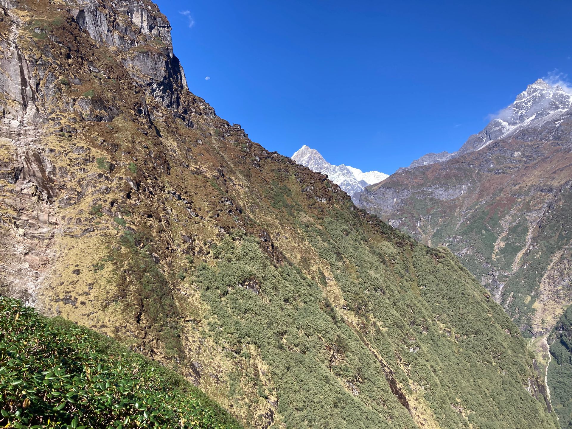
Mountain peak
मकालु
8,485 m
Makalu is the fifth-highest mountain in the world at 8,485 m, its four-sided pyramid standing alone south-east of Everest. A French expedition made the first ascent in 1955. The Makalu Base Camp trek gives the closest view.
Read place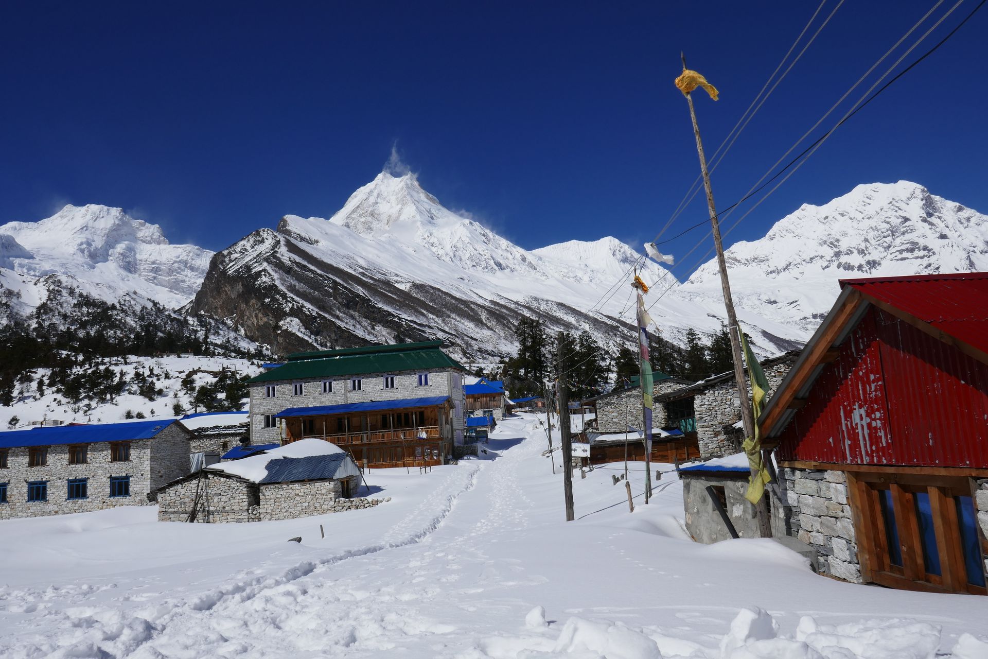
Mountain peak
मनास्लु
8,163 m
Manaslu is the eighth-highest mountain in the world at 8,163 m. Its name means “mountain of the spirit”, and it was first climbed by a Japanese expedition in 1956. The Manaslu Circuit circles the whole massif.
Read place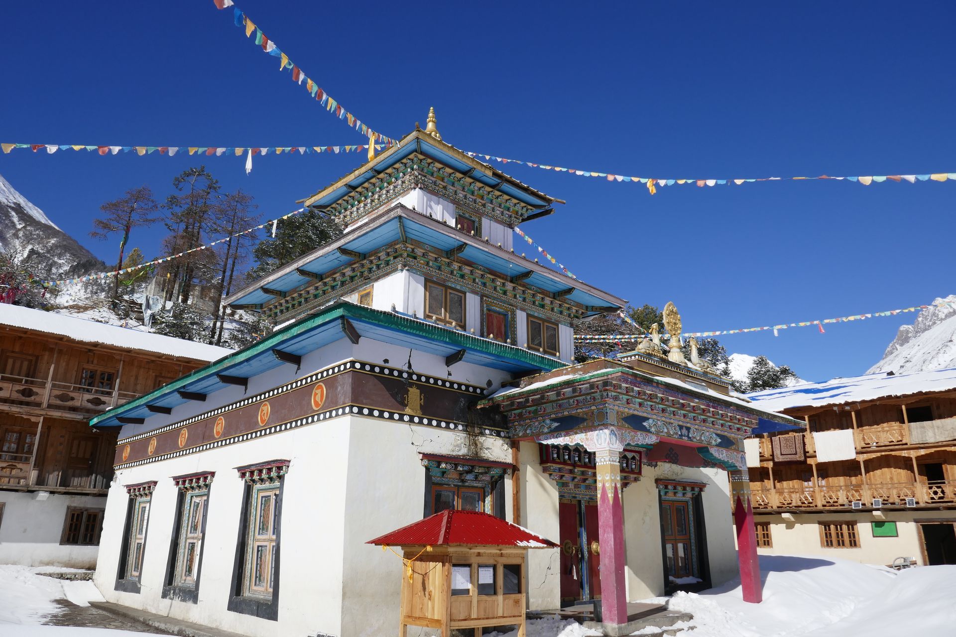
Religious site
मु गुम्बा
3,700 m
Mu Gompa is the largest monastery in the Tsum Valley, set high near the Tibetan border. It is the end point of most Tsum treks. Monks and nuns live here, and the setting is dramatically remote.
Read place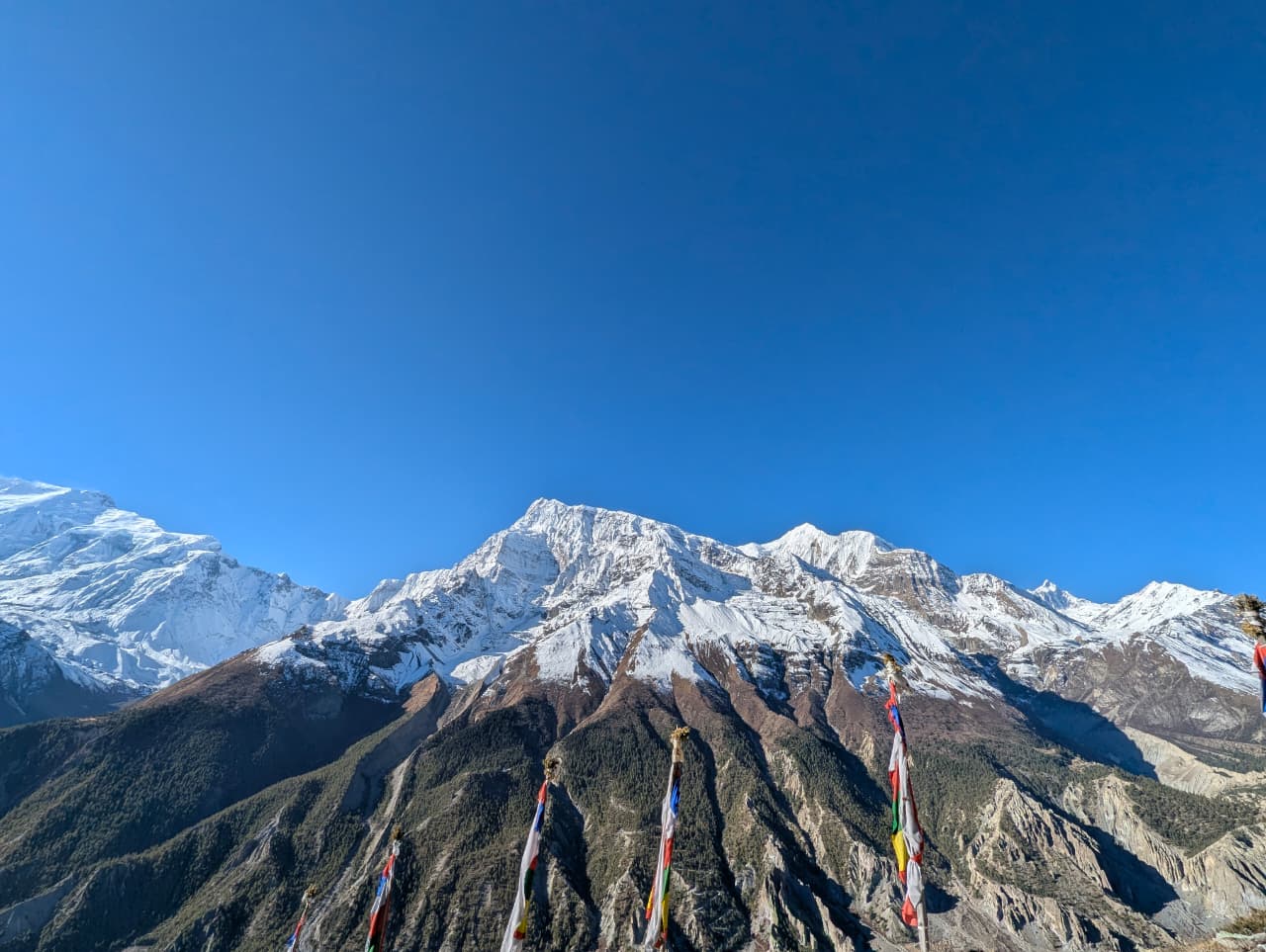
Religious site
मुक्तिनाथ
3,710 m
Muktinath is one of the most sacred pilgrimage sites in Nepal, holy to both Hindus and Buddhists. The temple has 108 water spouts and a natural gas flame burning over water. It lies just below the Thorong La, where the Annapurna Circuit enters Mustang.
Read place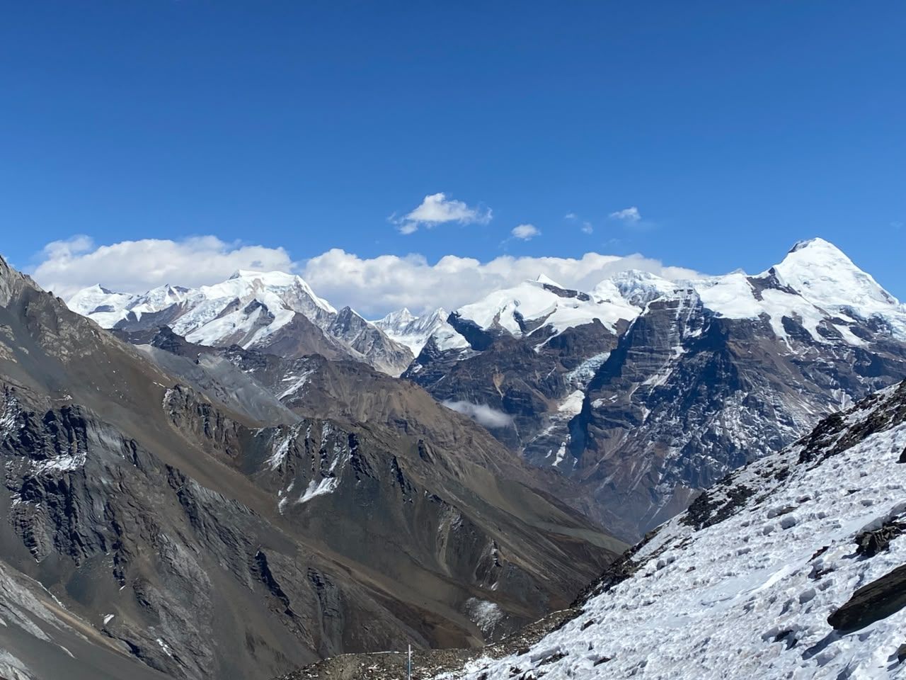
Viewpoint
मुर्मा टप
3,700 m
Murma Top is a viewpoint above Rara Lake, with views of the whole lake and the Kanjiroba and Saipal ranges. It is a popular sunrise hike. The walk takes a few hours from the lake shore.
Read place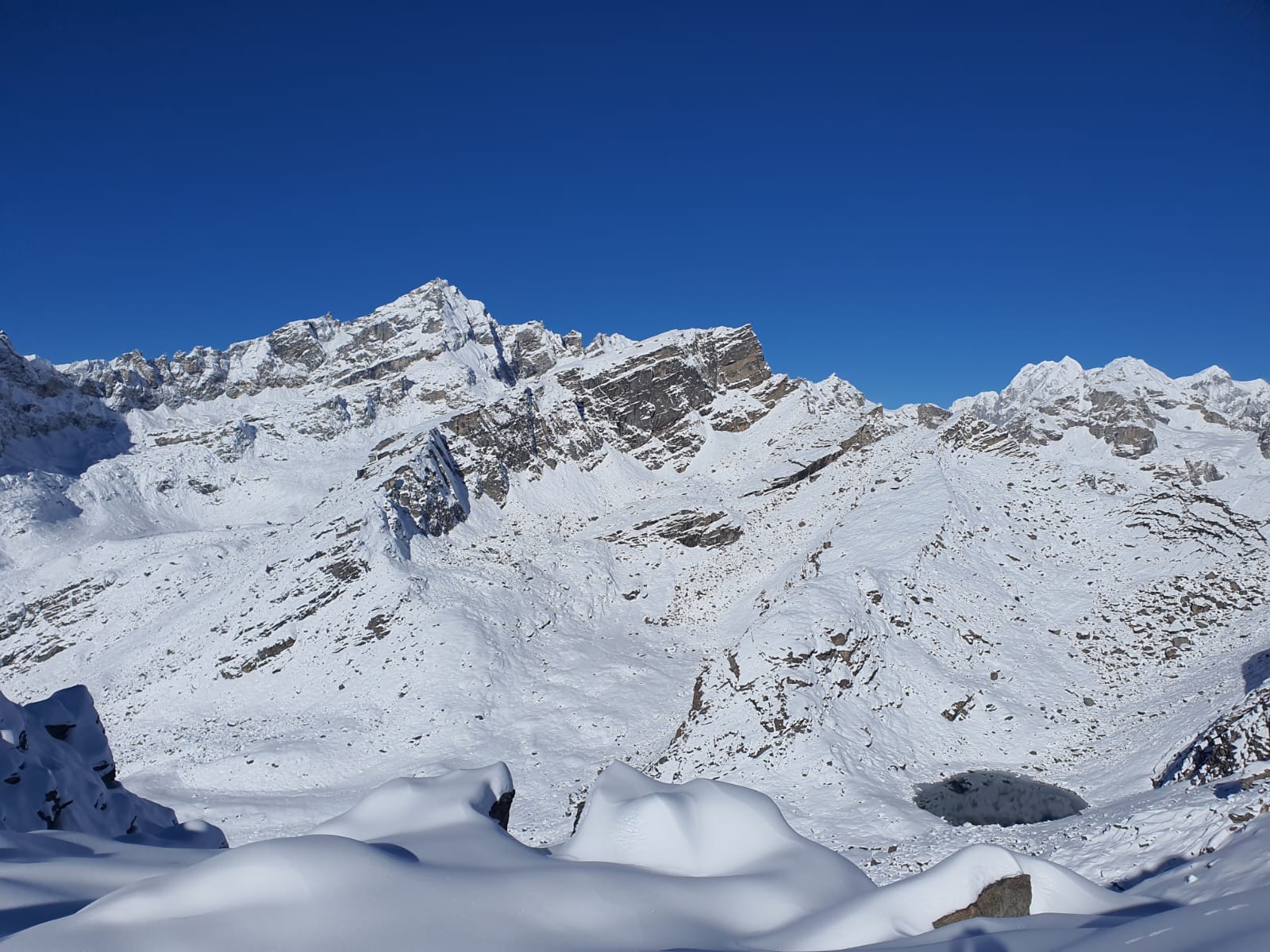
Village
ना
4,180 m
Na is a seasonal yak-herding settlement at the head of the Rolwaling valley, the last habitation before Tsho Rolpa and the Tashi Lapcha. It sits in a wide valley ringed by glaciated peaks. Trekkers often spend an extra night here to acclimatise.
Read place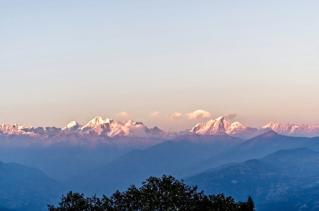
Viewpoint
नगरकोट
2,195 m
Nagarkot is a hill resort on the eastern rim of the Kathmandu Valley, famous for sunrise views stretching from Langtang to Everest. It is a popular short hiking and acclimatisation trip. Trails link it with Chisapani, Dhulikhel and Changu Narayan.
Read place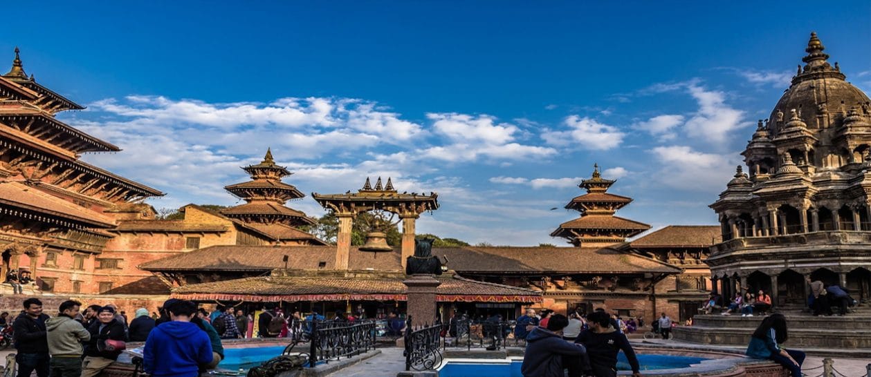
Village
नागथली
3,165 m
Nagthali is a high meadow on the Tamang Heritage Trail with a small monastery and wide views of Langtang, Ganesh Himal and the Tibetan peaks. It is a beautiful spot for sunrise.
Read place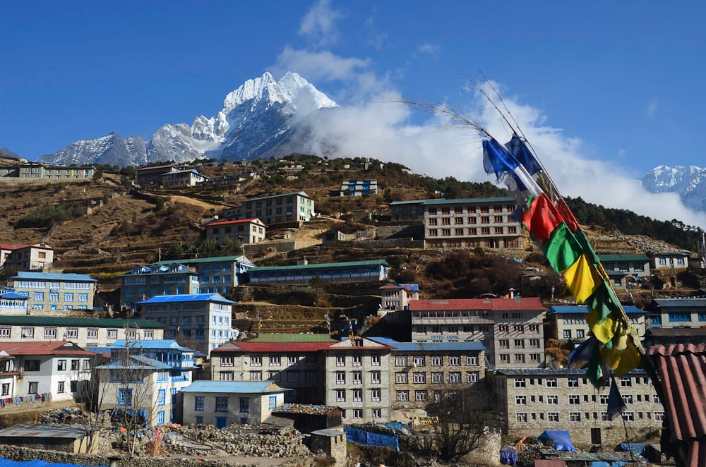
Town / city
नाम्चे बजार
3,440 m
Namche Bazaar is the Sherpa capital of the Khumbu, a horseshoe-shaped town built into a hillside high above the Dudh Koshi. It is the region’s main trading hub, with lodges, bakeries, gear shops, banks and a Saturday market.
Read place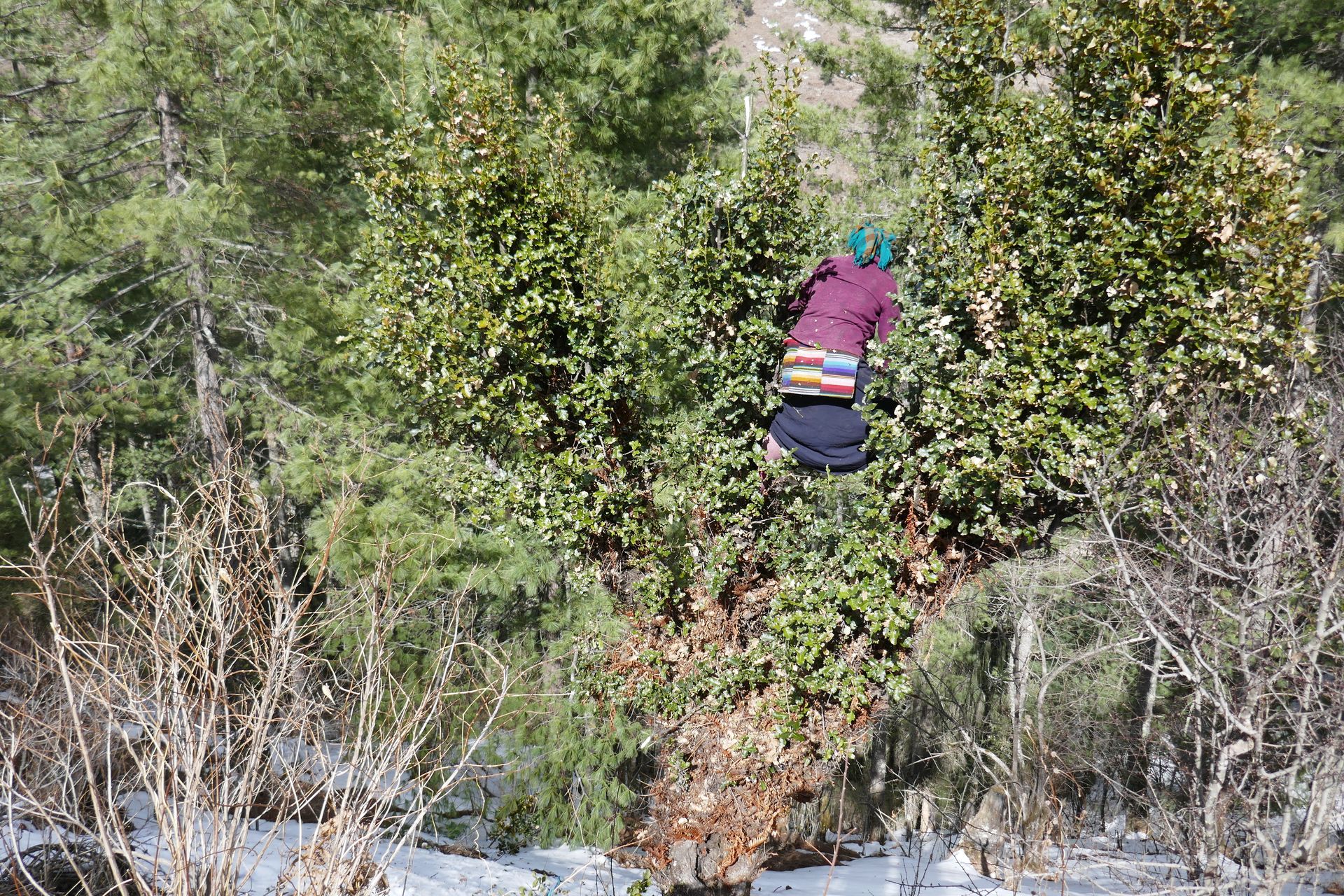
Village
नाम्रुङ
2,630 m
Namrung is a village in the Nubri region with a permit checkpoint and the first views of Manaslu North and Himal Chuli. Above it the valley opens into fields and Tibetan villages. It is a popular overnight on the Manaslu Circuit.
Read place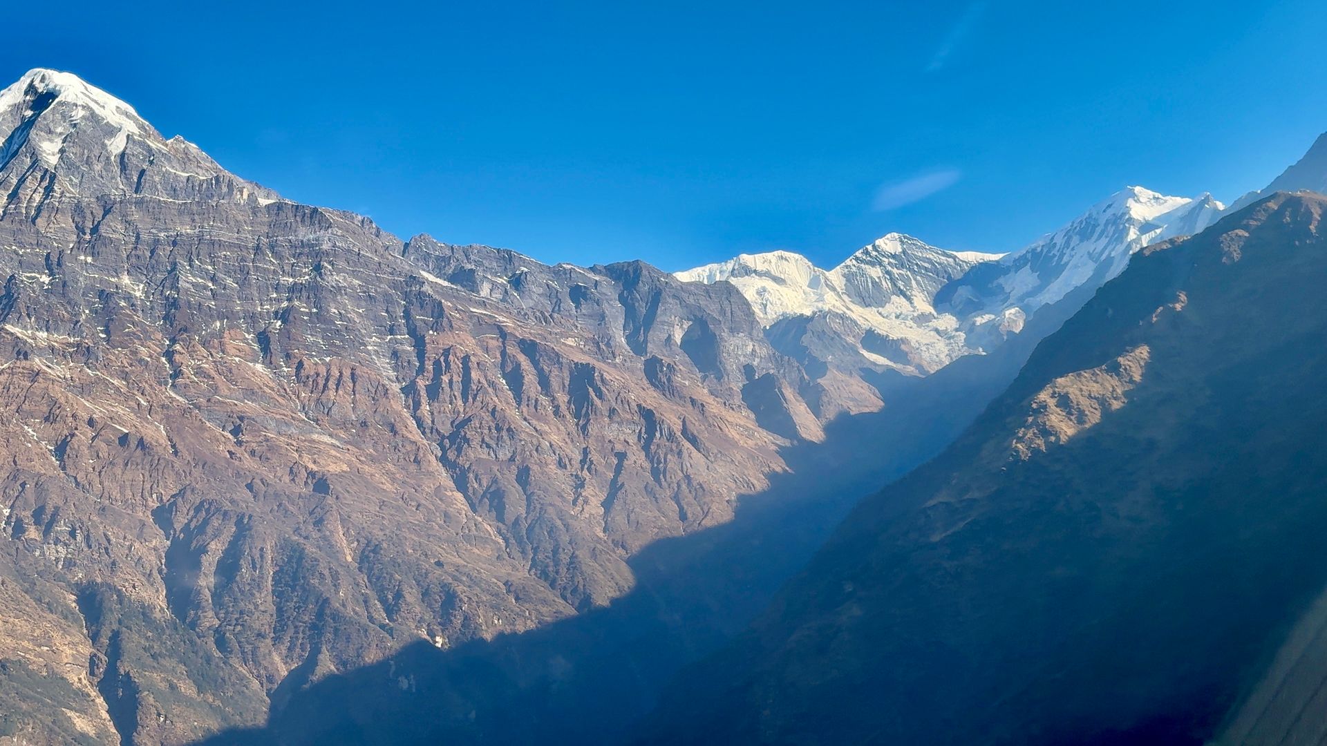
Village
नाङ्गी
2,300 m
Nangi is a Magar village in Myagdi known for its community development projects, including the eco-trekking network that runs Mohare Danda. Homestays here offer a close look at village life.
Read place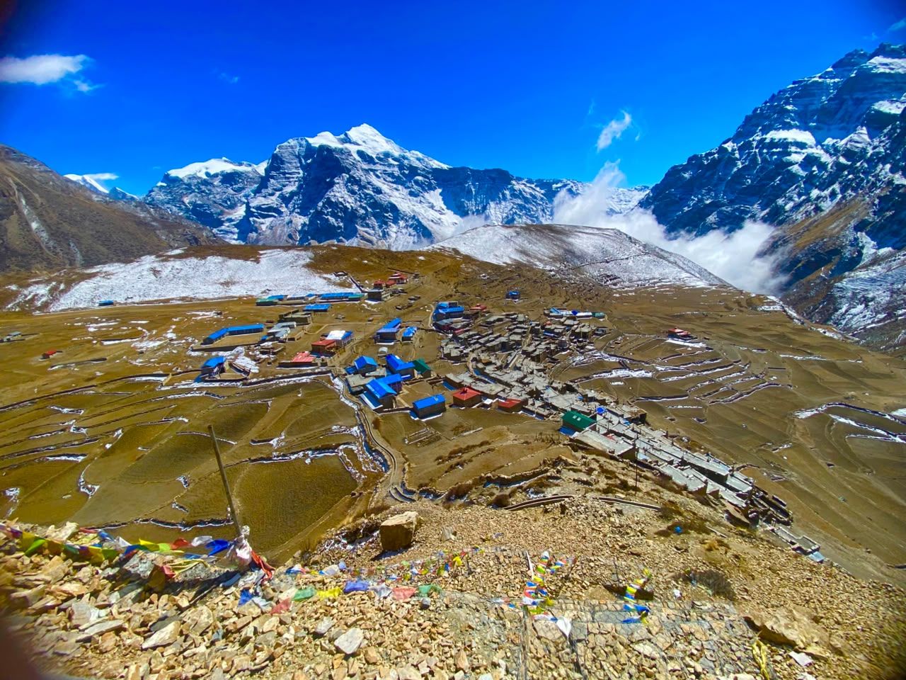
Village
नार
4,110 m
Nar is the larger of the two villages in the Nar Phu valley, with stone houses, chortens and fields on a sunny shelf. Several gompas surround the village. Trekkers continue from Nar over the Kang La to Ngawal in the Manang valley.
Read place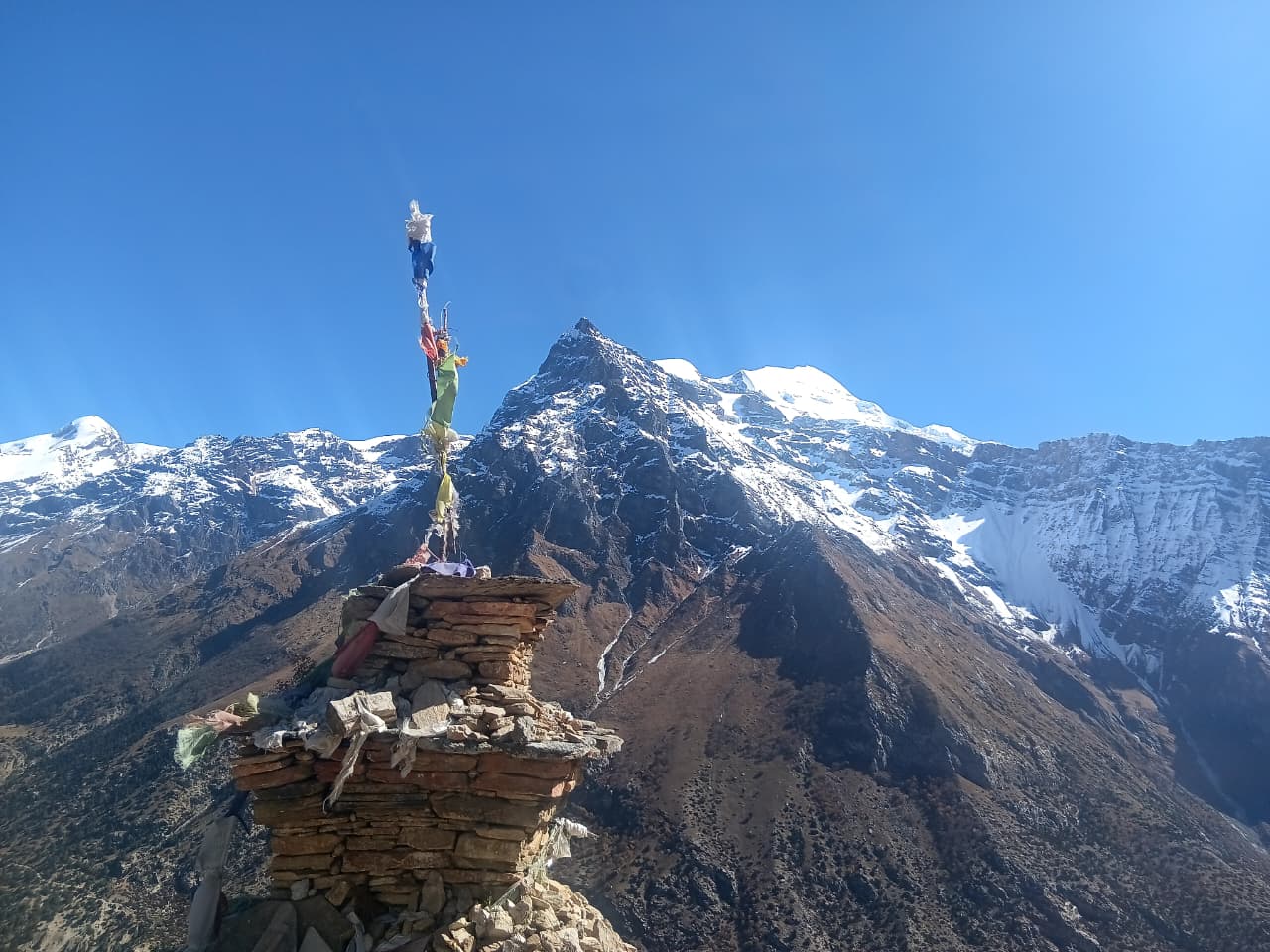
Village
नार फेदी
3,490 m
Nar Phedi is a small stop below Nar village in the Nar Phu valley, built around the Satte Gompa monastery, where trekkers can stay in the monastery guesthouse. It is the usual overnight before the short climb up to Nar.
Read place
Village
नार्च्याङ
1,940 m
Narchyang is a remote village in the Myagdi valley and the start of the climb to Annapurna North Base Camp. It sits below a waterfall in a steep valley. Few trekkers come here, and the trail beyond is steep and rough.
Read place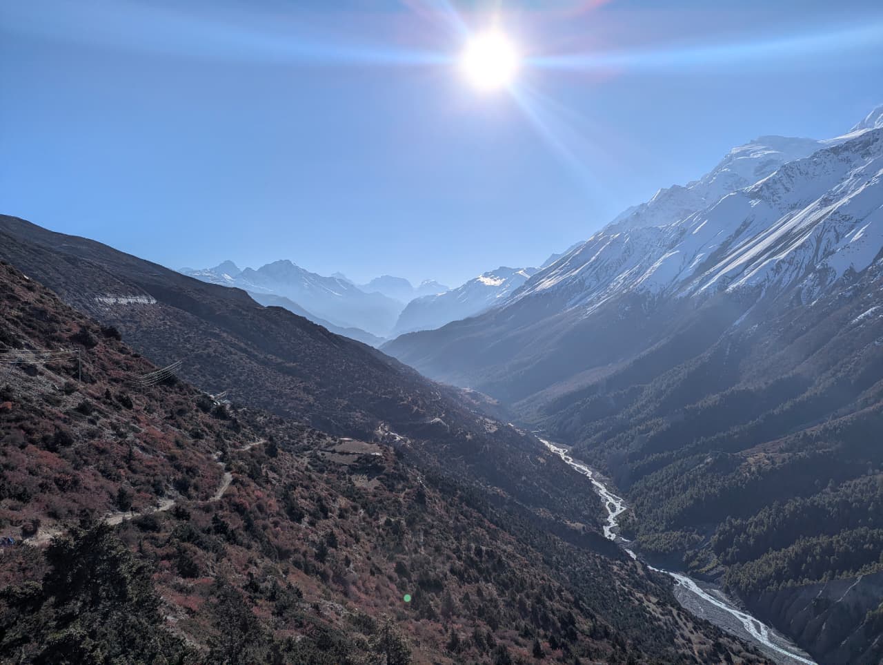
Waterfall
नार्च्याङ झरना
2,000 m
Narchyang Waterfall drops down the cliffs above Narchyang village, at the start of the Annapurna North Base Camp trek. It is especially full after the monsoon.
Read place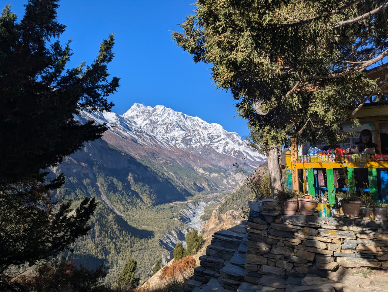
Village
नयाँपुल
1,070 m
Nayapul is a roadside town on the Pokhara–Baglung highway and the traditional trailhead for Poon Hill and Annapurna Base Camp treks. Jeeps now continue further up to Ghandruk and Ulleri. Trekkers show their ACAP and TIMS permits at the nearby Birethanti checkpoint.
Read place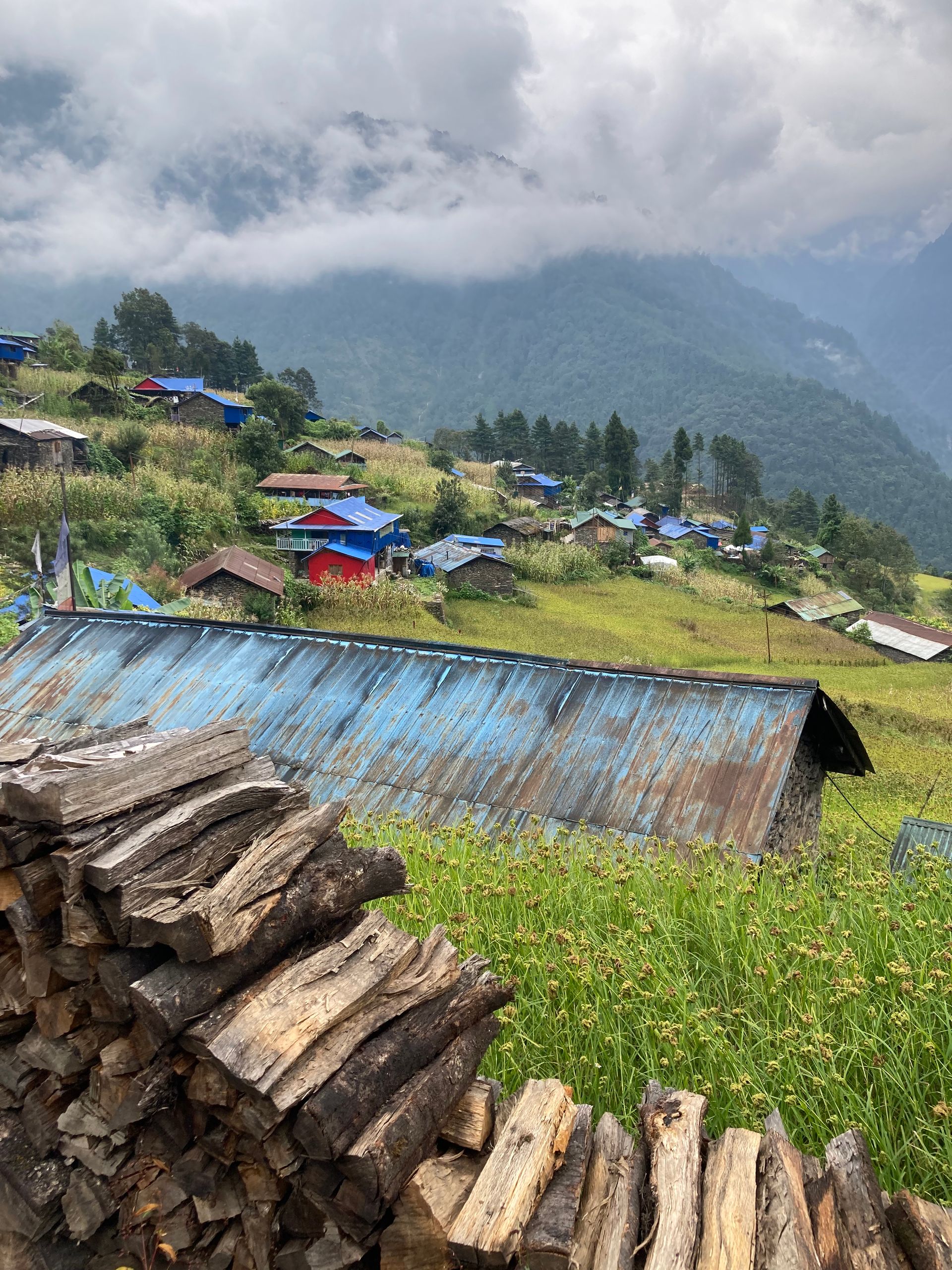
Airstrip / airport
नेपालगञ्ज विमानस्थल
165 m
Nepalgunj Airport in the western plains is the hub for flights to Juphal (Dolpo), Talcha (Rara) and Simikot (Humla). Trekkers usually overnight in Nepalgunj on the way. It has daily flights from Kathmandu.
Read place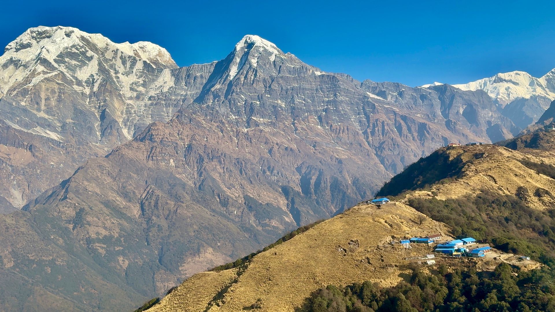
Village
ङावल
3,660 m
Ngawal is a traditional village on the high northern route between Pisang and Manang, with old chortens and prayer wheels. It looks across to Annapurna II, III and Gangapurna. Overnighting here helps acclimatise before Manang.
Read place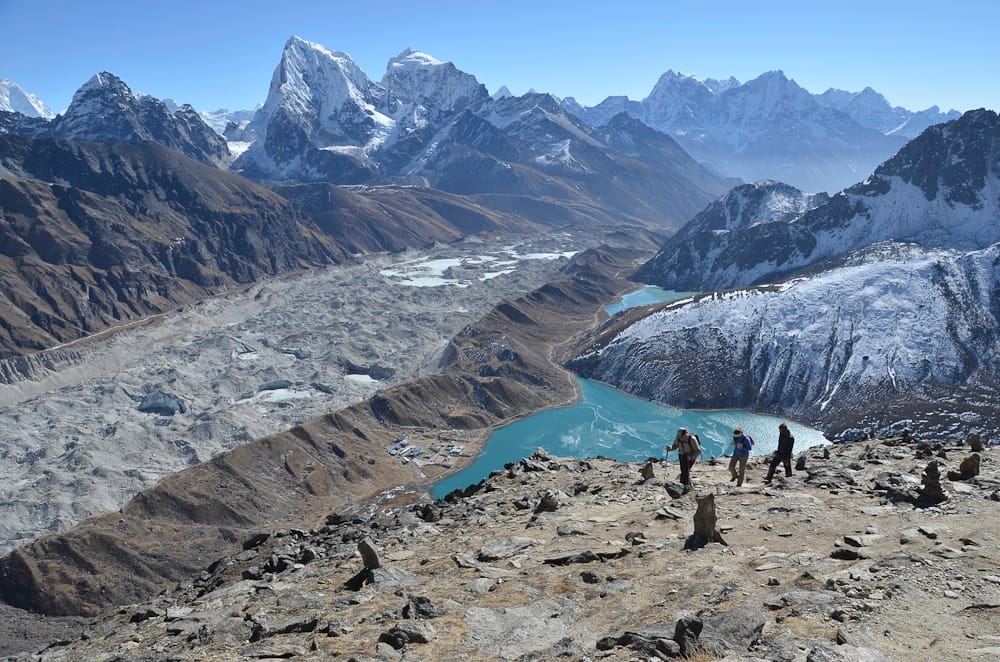
Glacier
ङोजुम्पा हिमनदी
4,600 m
The Ngozumpa Glacier is the longest glacier in Nepal, flowing about 36 km south from Cho Oyu. Its rubble-covered surface lies right next to Gokyo village. Trekkers crossing between Gokyo and the Cho La walk across the glacier on a shifting rocky trail.
Read place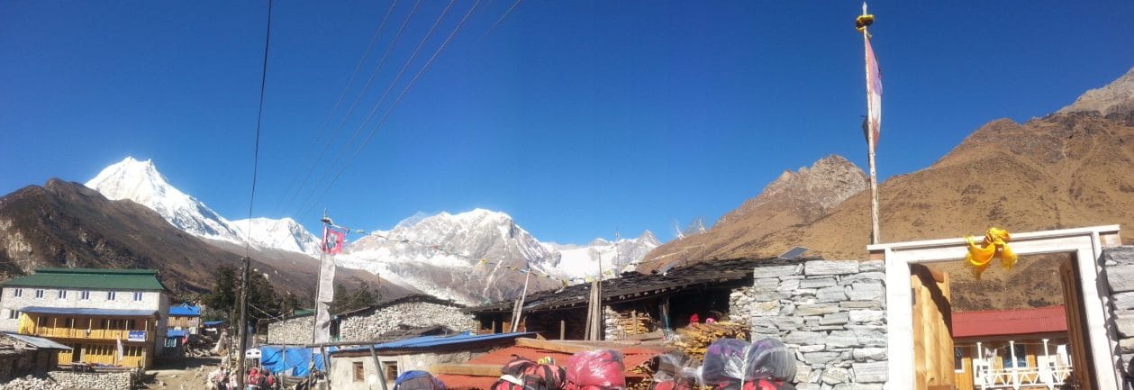
Village
नीले
3,361 m
Nile is one of the highest villages in the Tsum Valley, close to the Tibet border. Its stone houses cluster above the Shiar Khola. Mu Gompa lies a short walk above.
Read place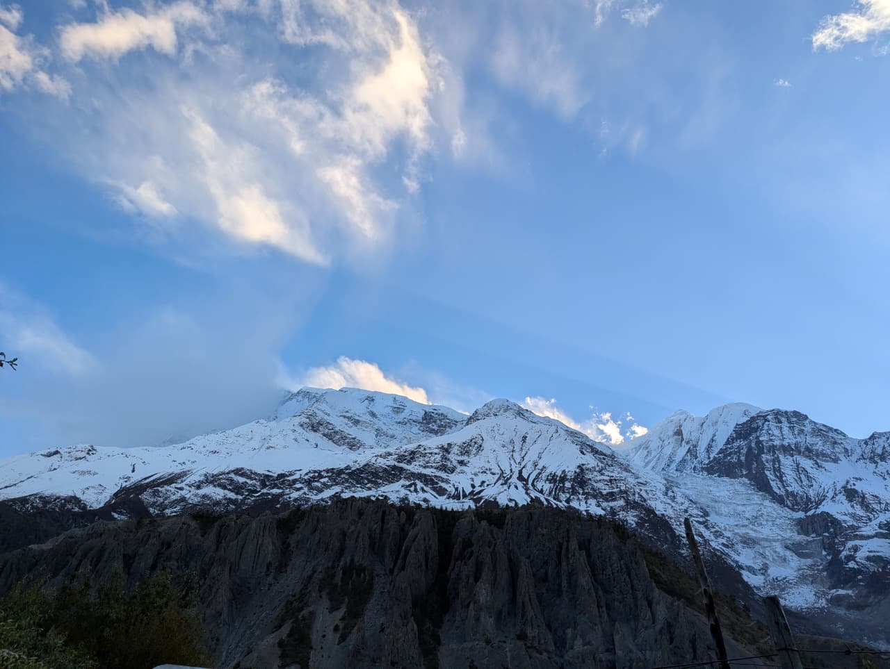
Mountain peak
नीलगिरि
7,061 m
Nilgiri is a group of three peaks above Jomsom, the highest being Nilgiri North at 7,061 m. Its pyramid towers over the Kali Gandaki valley. It is a dominant sight from Jomsom, Marpha and Tilicho Lake.
Read place

