

Village
Num
नुम
1,560 m
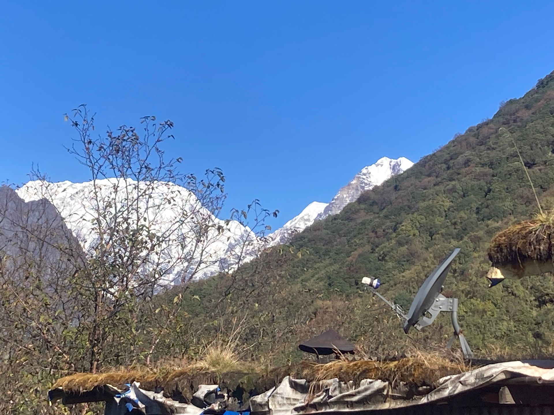
Num is a ridge-top village above the Arun River, the usual road head for the Makalu Base Camp trek. It looks across the gorge to Seduwa. The trail drops steeply to the Arun and climbs again.
Read placeThe region
Village
नुम
1,560 m
Num is a ridge-top village above the Arun River, the usual road head for the Makalu Base Camp trek. It looks across the gorge to Seduwa. The trail drops steeply to the Arun and climbs again.
Read place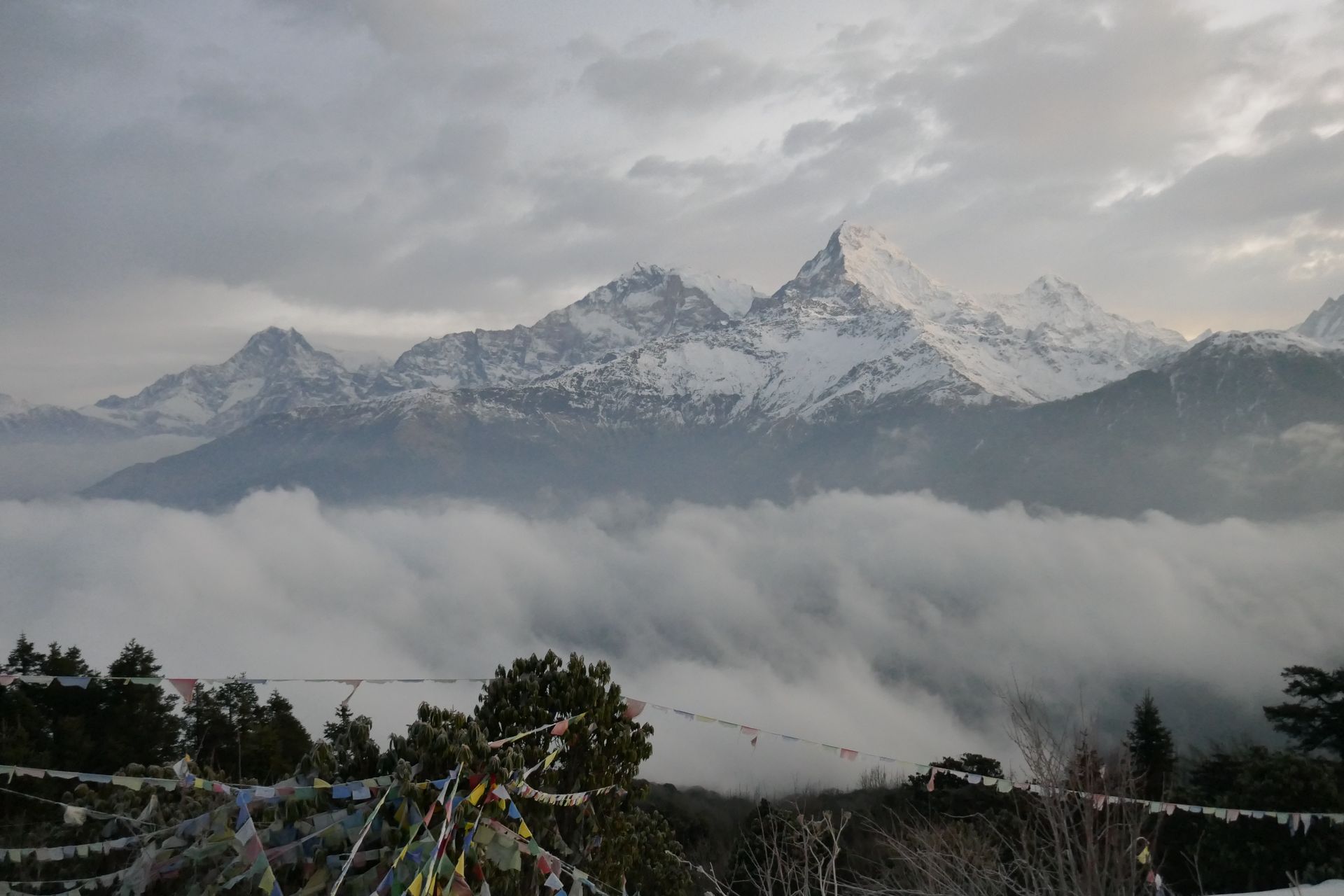
Pass
नुमा ला
5,190 m
Numa La is a high pass in Lower Dolpo between Tarap and the Phoksundo side. The top gives views of Dhaulagiri and the Kanjiroba range. It is crossed with Baga La on the Lower Dolpo circuit.
Read place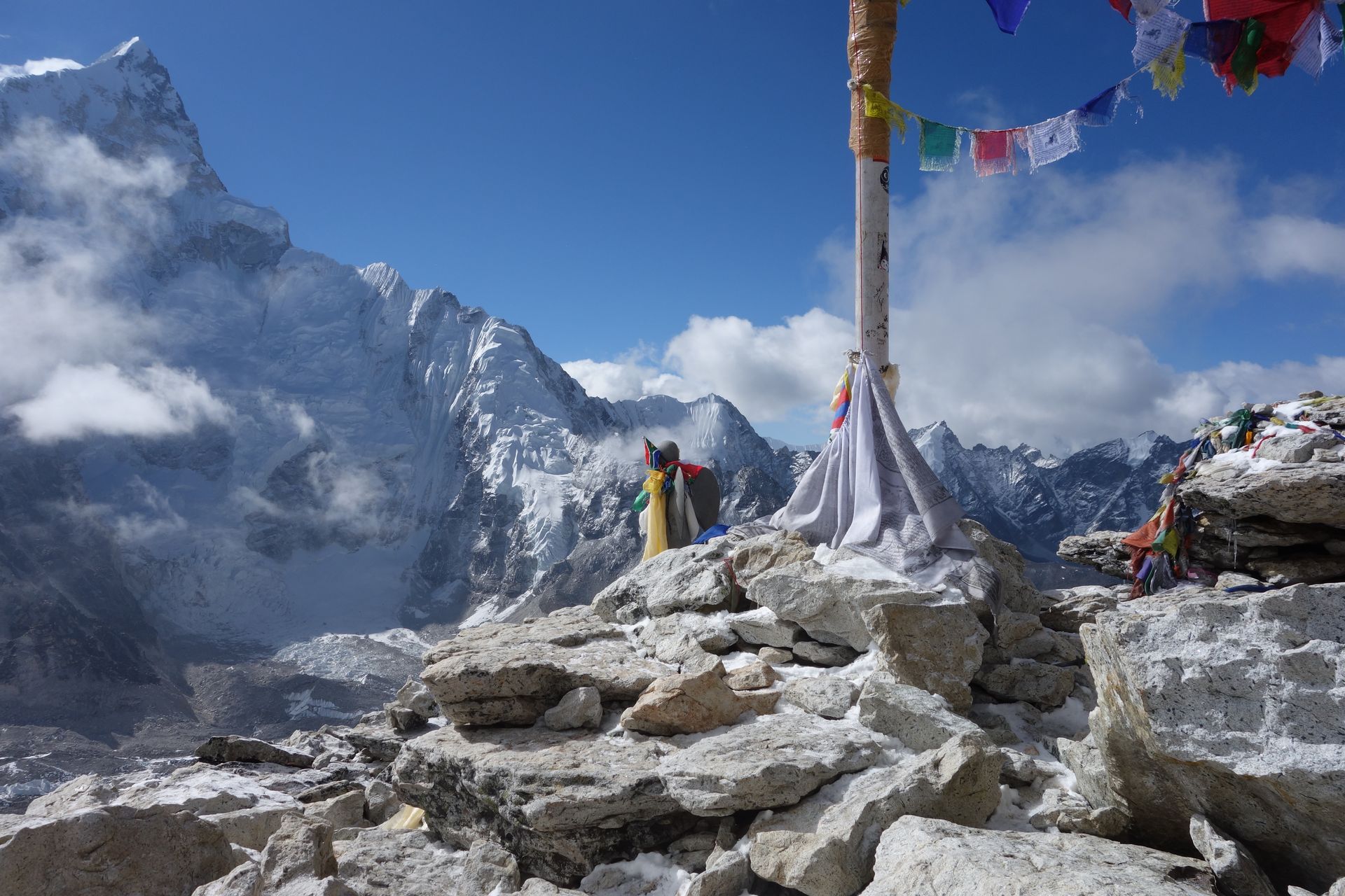
Mountain peak
नुम्बुर हिमाल (Shorong Yul Lha)
6,957 m
Numbur Himal is a 6,957 m peak revered by Solu Sherpas as Shorong Yul Lha, the guardian deity of the region. Its glaciers feed Dudh Kunda lake. The Numbur Cheese Circuit and Dudh Kunda treks circle beneath it.
Read place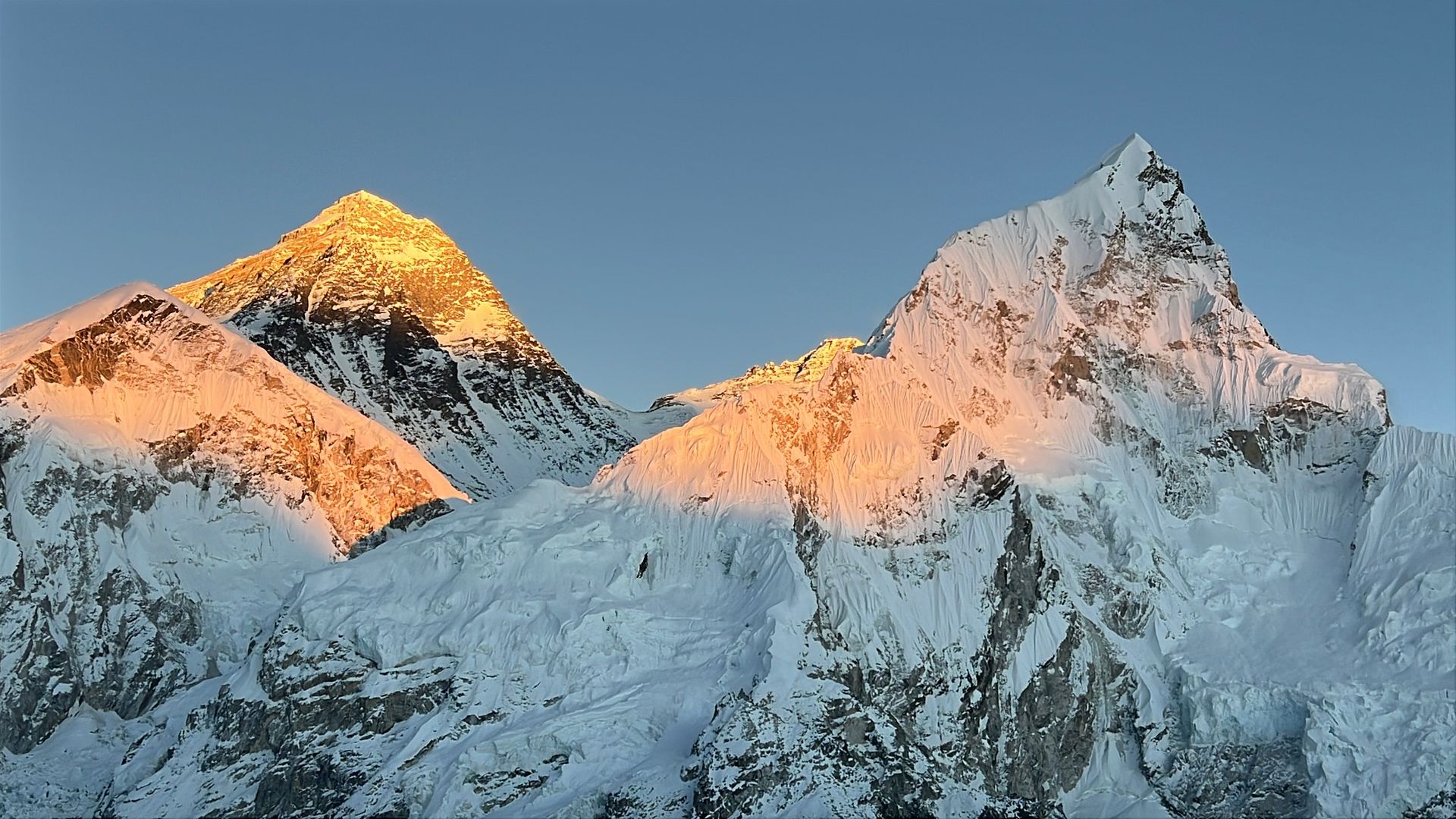
Mountain peak
नुप्त्से
7,861 m
Nuptse is a long, jagged ridge of 7,861 m that forms the western wall of the Everest massif. From Tengboche it appears in front of Everest, hiding much of the summit. From Everest Base Camp and Kala Patthar, Nuptse’s steep ice face towers directly overhead.
Read place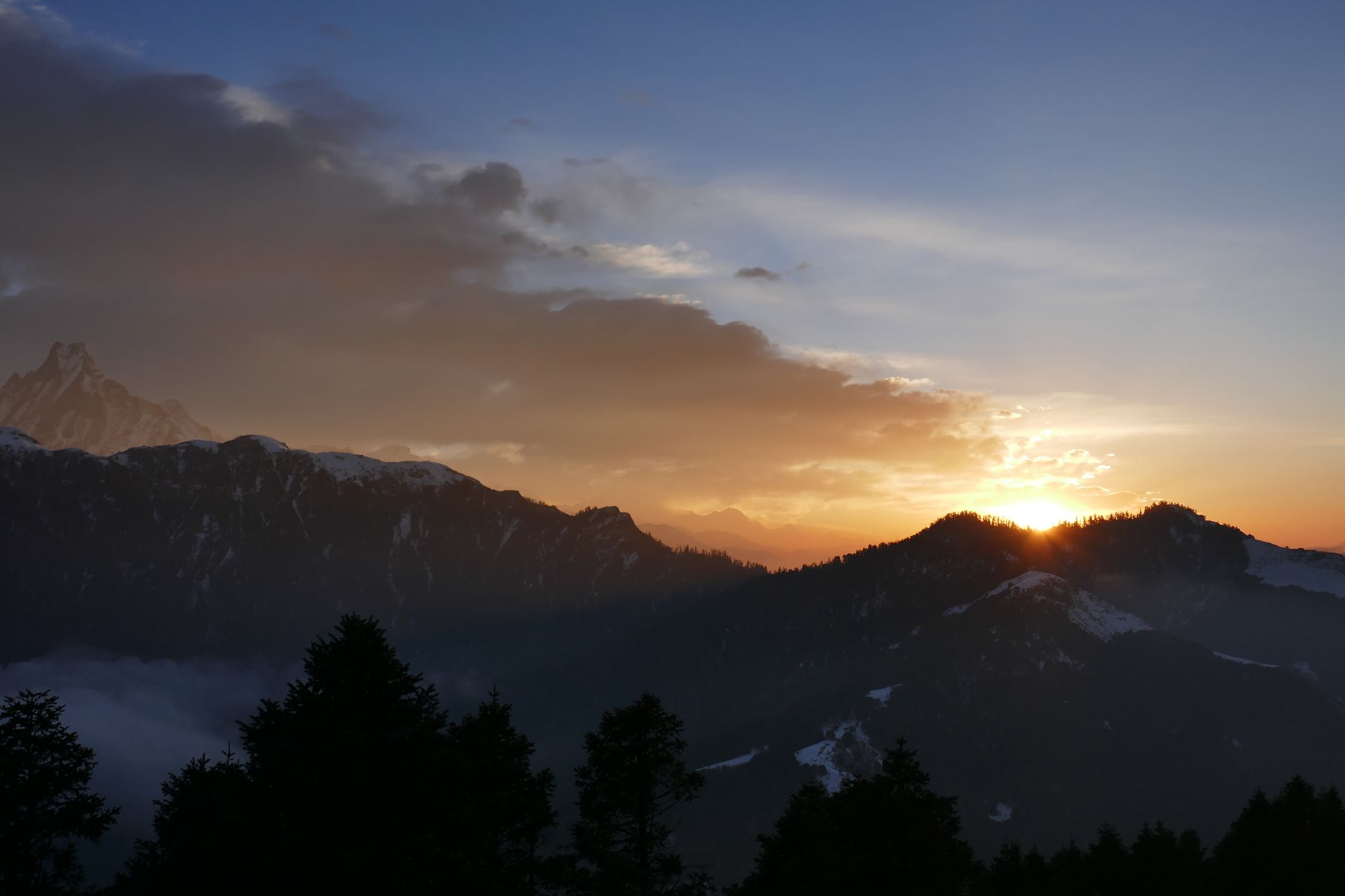
Pass
न्यालु ला
4,990 m
Nyalu La is a high pass on the Limi Valley trek with views of Saipal and the Tibetan plateau. The descent passes the sacred Selima Tso lake. It is a remote crossing requiring camping.
Read place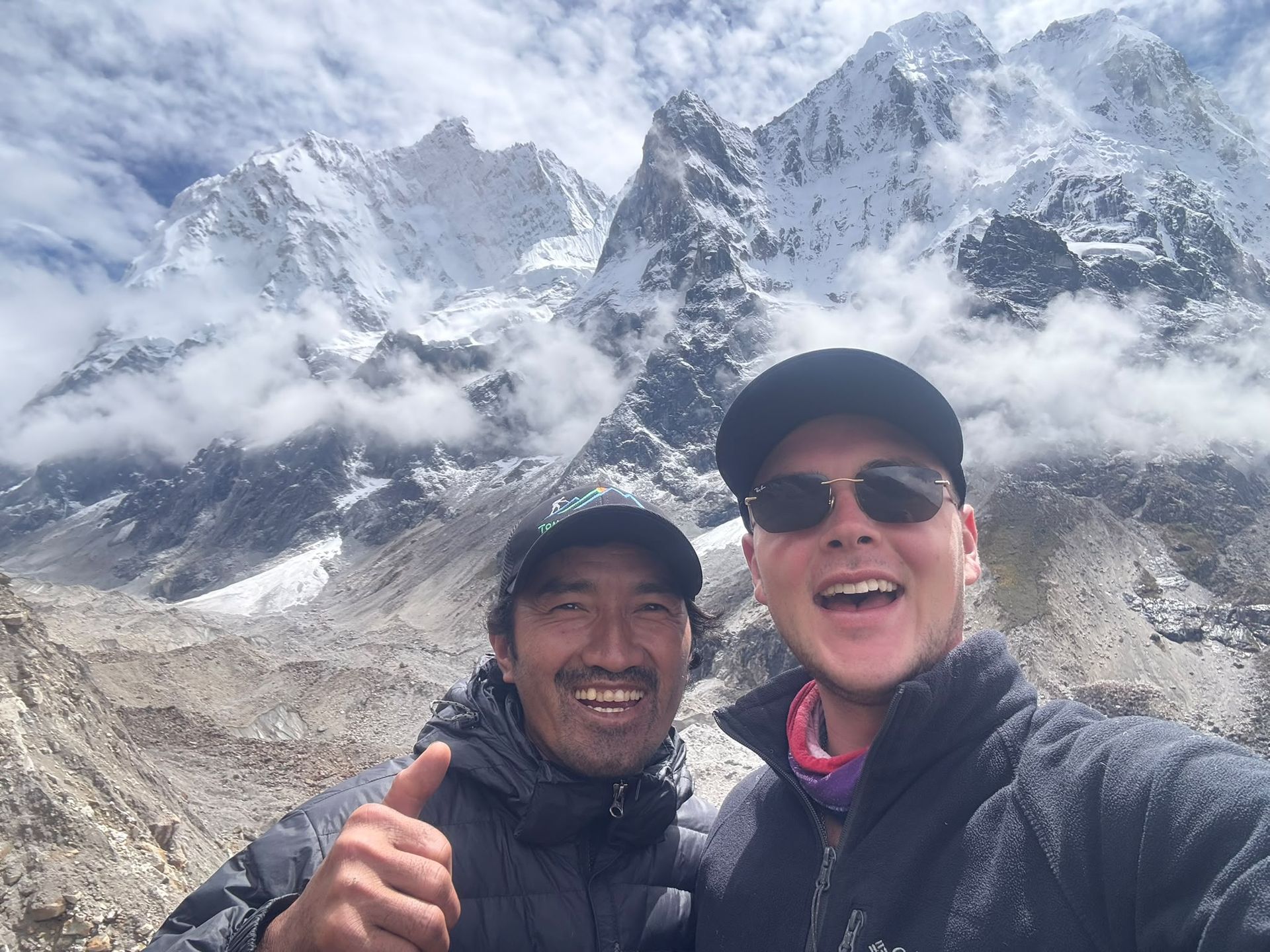
Base camp
4,730 m
Oktang is a high-altitude viewpoint above the Yalung Glacier, offering spectacular views of Kanchenjunga's southern face and surrounding Himalayan peaks.
Read place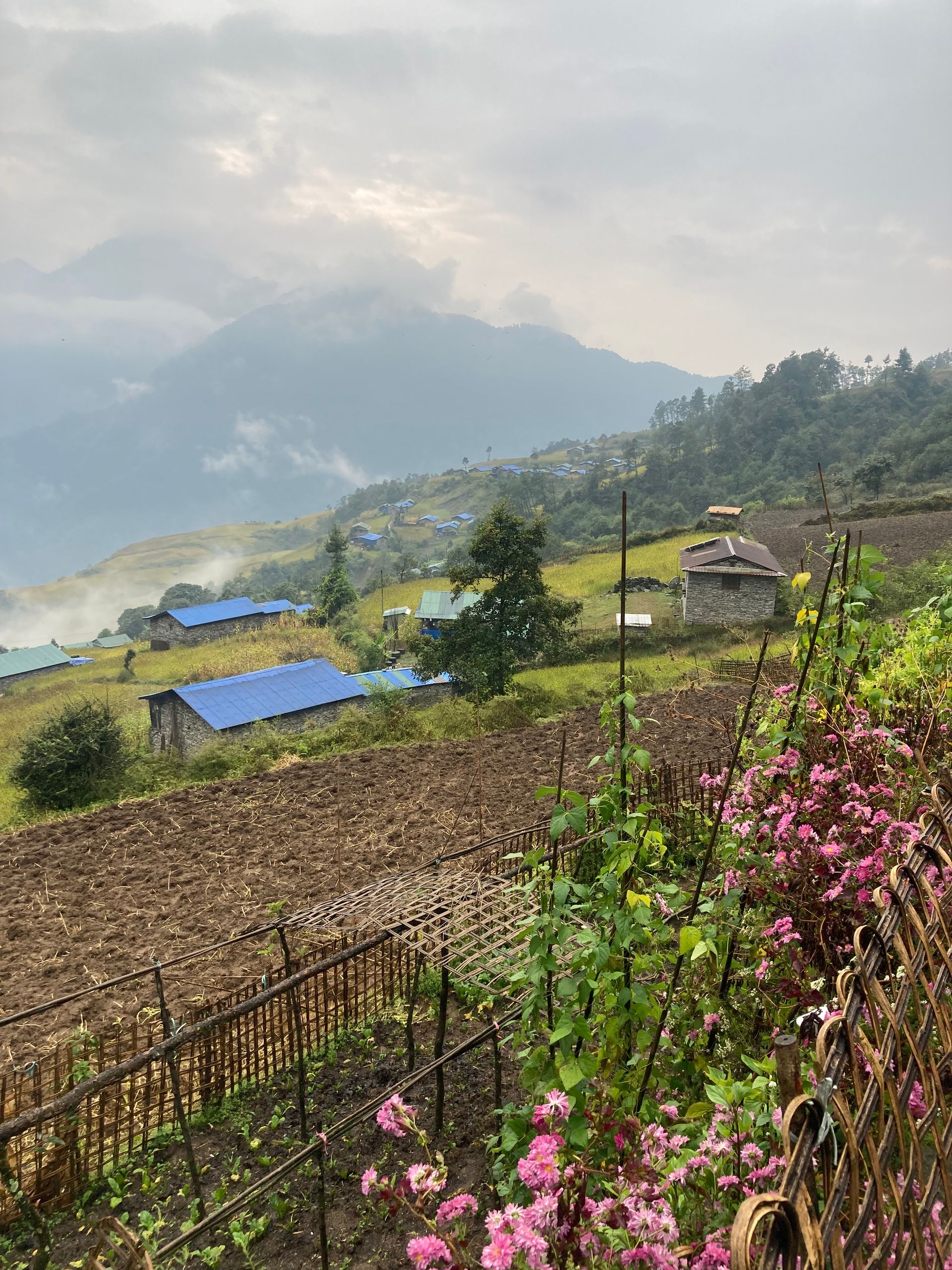
Village
ओलाङचुङ गोला
3,200 m
Olangchung Gola is an old Tibetan trading village near the Tibet border, with wooden houses and the Dingsamba Gompa, said to be over 500 years old. It lies in a remote valley of the northern Kanchenjunga region. It is a key stop on the Olangchung Gola and Lumba Sumba treks.
Read place
Village
पैयाँ
2,730 m
Paiya is a village on the lower Everest trail south of Lukla, used by trekkers walking in from Salleri or the road head instead of flying to Lukla. It is also a stop on the classic Jiri to EBC route.
Read place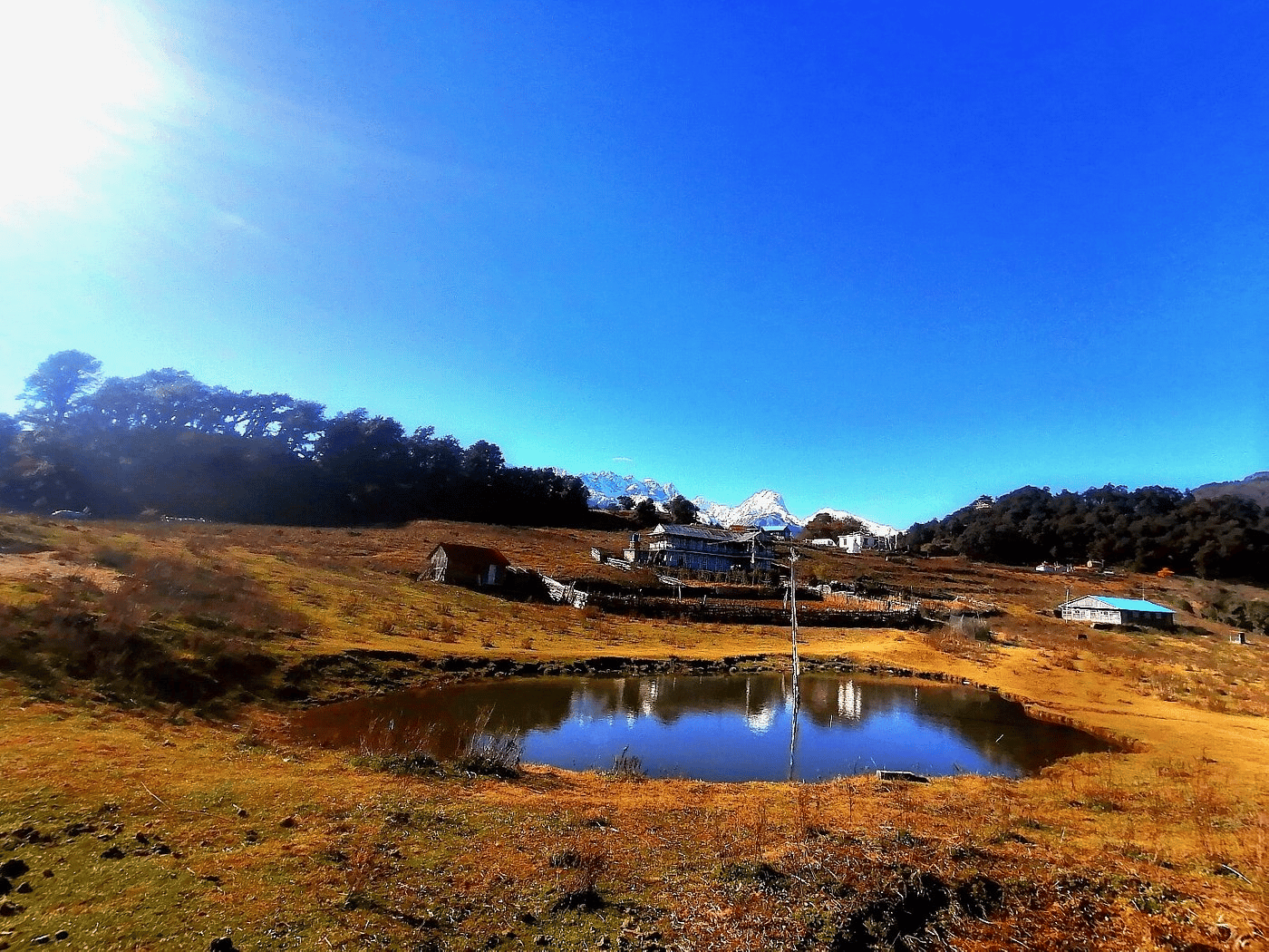
Lake
पाँच पोखरी
4,100 m
Panch Pokhari is a group of five sacred lakes beneath the Jugal Himal, visited by Hindu pilgrims at the Janai Purnima full moon. It is a Ramsar-listed wetland. It is a remote camping or teahouse trek with views of Jugal, Langtang and Rolwaling peaks.
Read place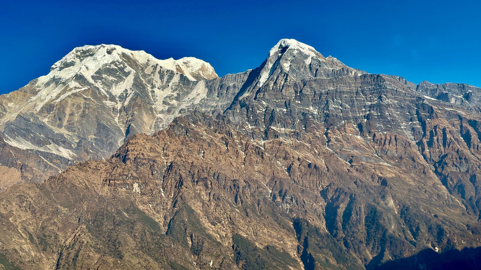
Viewpoint
पञ्चासे
2,500 m
Panchase is a forested ridge west of Pokhara, its summit at about 2,500 m offering views of Dhaulagiri, Annapurna and Machhapuchhre. Its five small ponds give the area its name. It is a low-altitude trek suitable all year, through rhododendron forest and Gurung and Magar villages.
Read place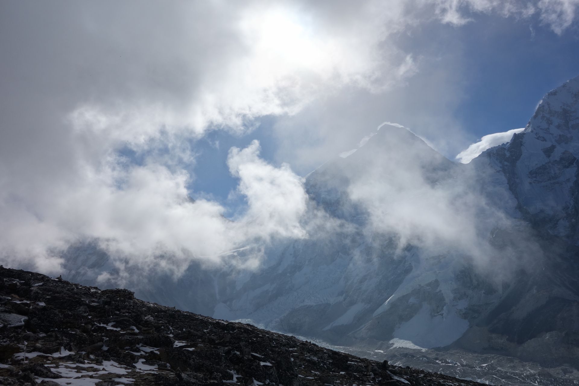
Village
पाङबोचे
3,985 m
Pangboche is one of the oldest Sherpa villages in the Khumbu, with a gompa thought to date back over 300 years. It sits almost directly beneath Ama Dablam and is the jumping-off point for Ama Dablam Base Camp.
Read place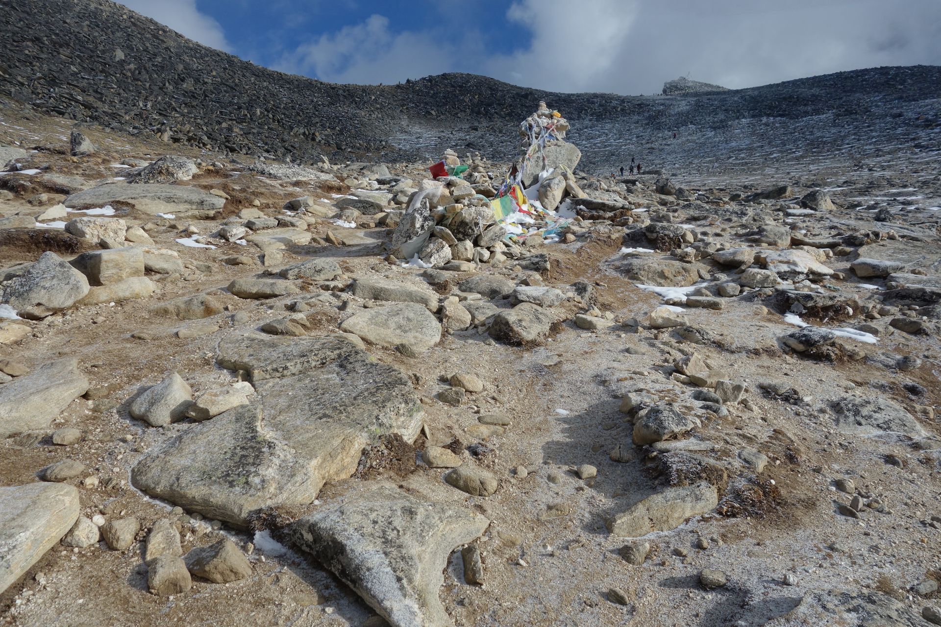
Religious site
पाङबोचे गुम्बा
4,000 m
Pangboche Monastery in Upper Pangboche is thought to be the oldest monastery in the Khumbu, founded over 300 years ago. It was once said to hold a yeti scalp and hand. Visitors can stop on the way to Dingboche or Ama Dablam Base Camp.
Read place
Village
5,140 m
Pangpema, at around 5,140 m, is the northern base camp area of Mount Kanchenjunga. Reached from Lhonak through rugged glacial terrain, it offers spectacular views of Kanchenjunga’s northern face, glaciers and surrounding Himalayan peaks. Proper acclimatization is essential at this altitude.
Read place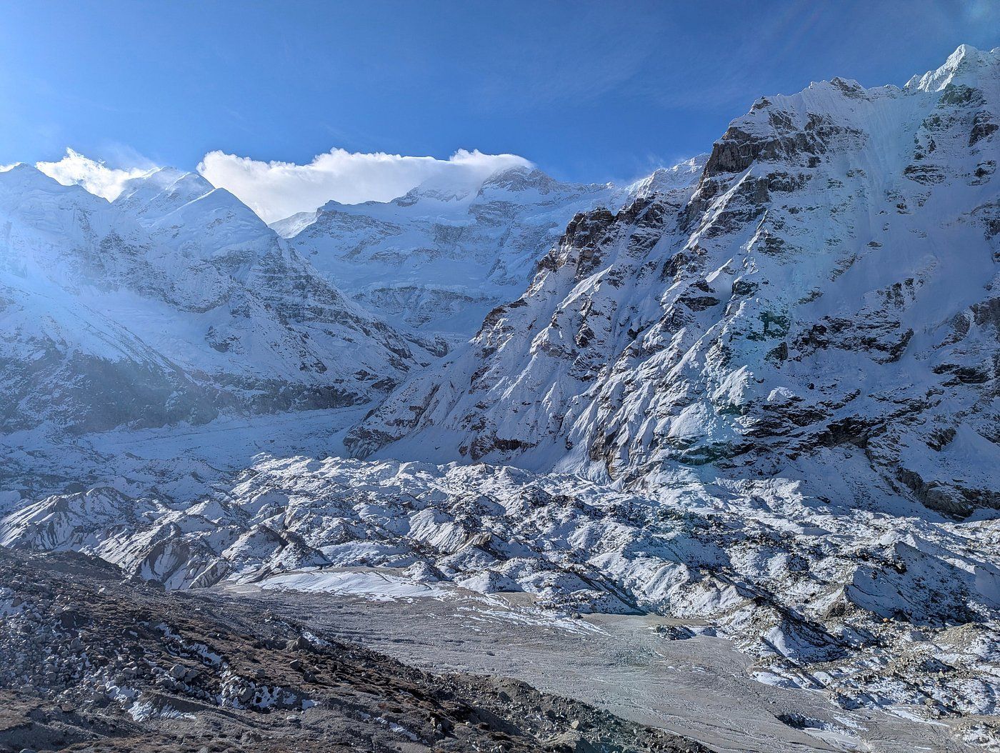
Viewpoint
The Pangpema viewpoint is the ridge above Pangpema, the Kanchenjunga North Base Camp, from where trekkers look straight at the north face of Kanchenjunga and the Kanchenjunga Glacier.
Read place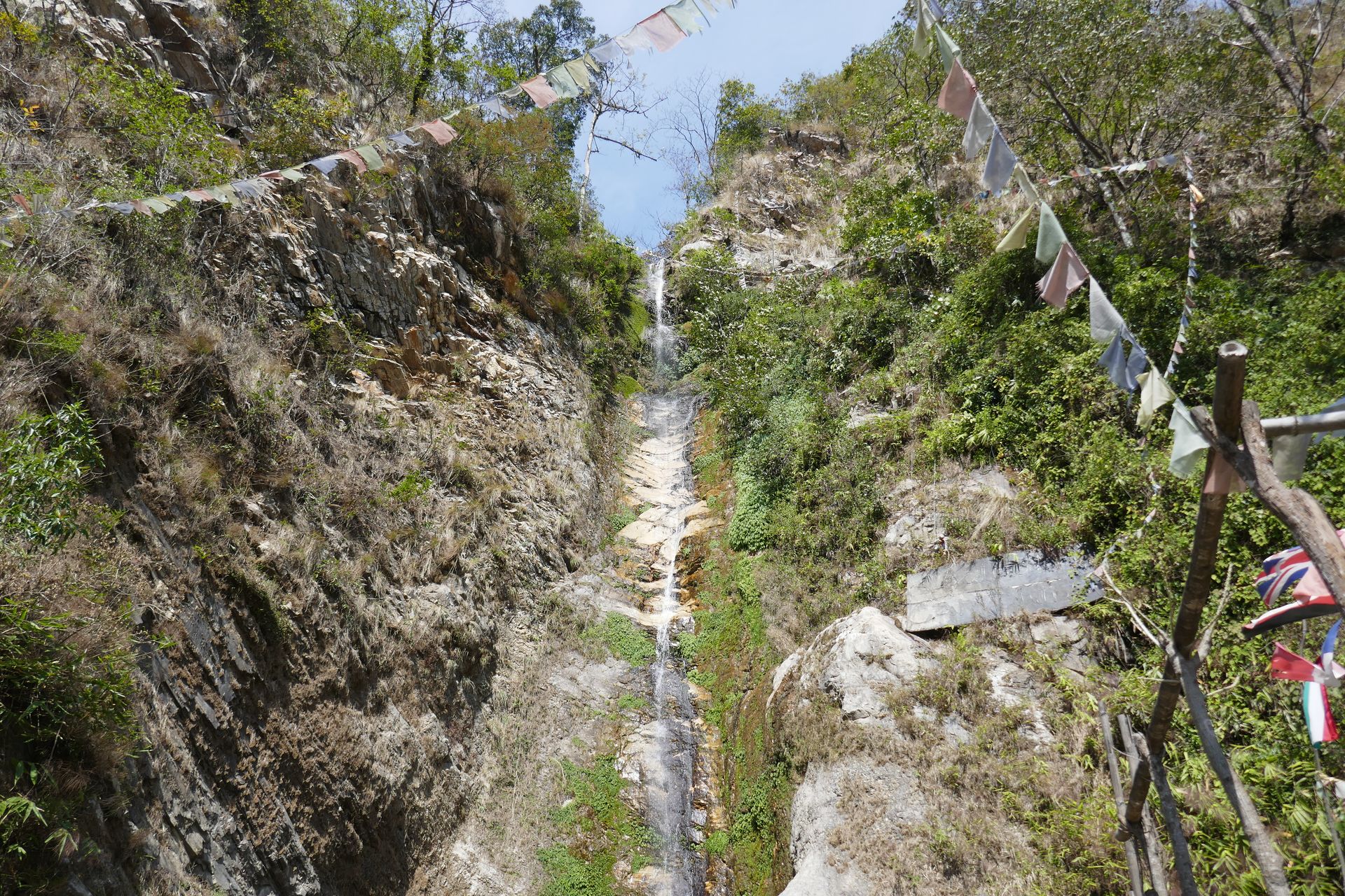
Pass
पाङसाङ ला
3,842 m
Pangsang La is the high pass of the Ruby Valley trek, with a broad view of Ganesh Himal, Langtang and the Manaslu range. It links Somdang with the Tamang villages to the east.
Read place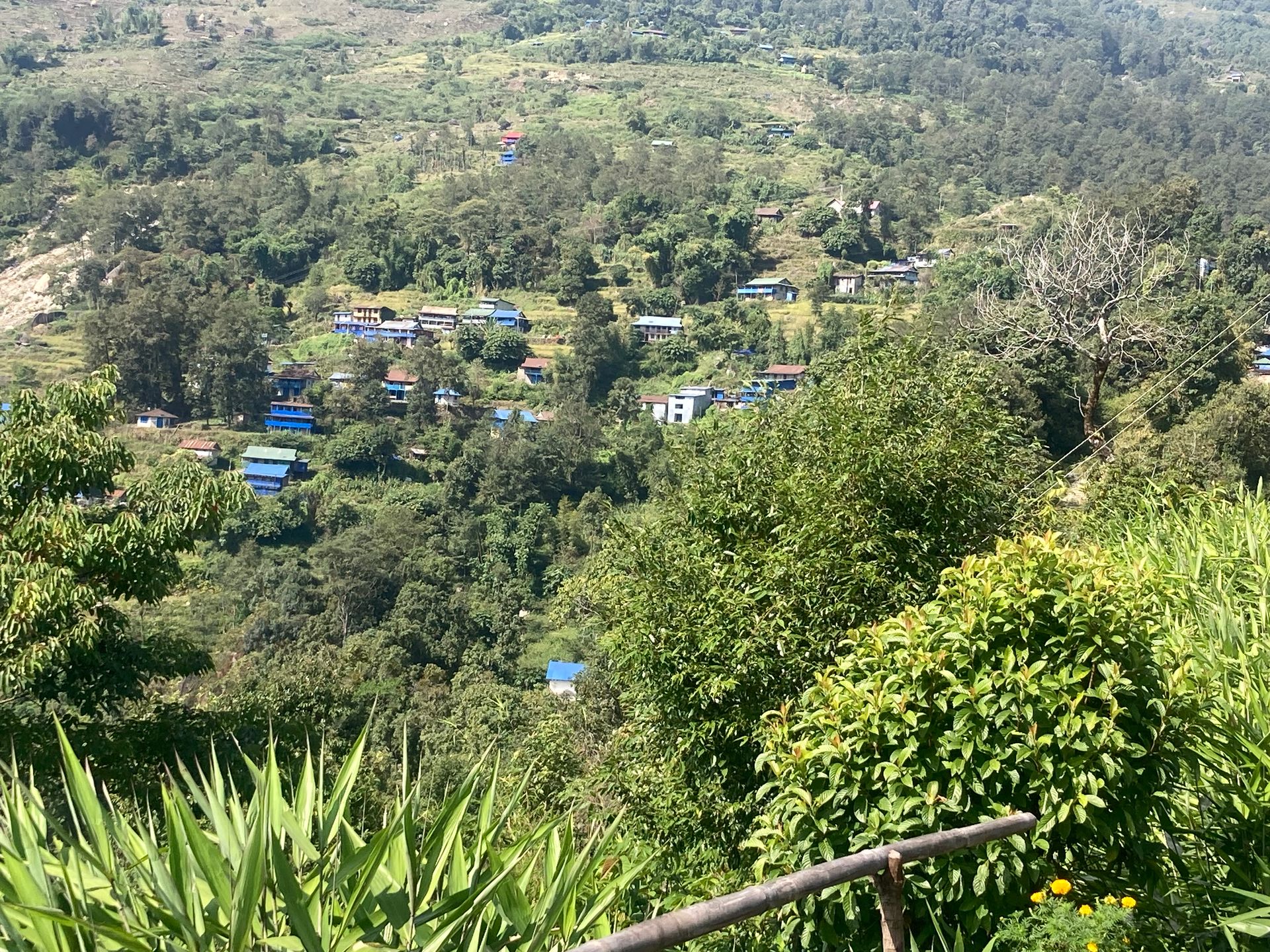
Village
Papung Loden is a village in Taplejung district in the Kanchenjunga region of eastern Nepal.
Read place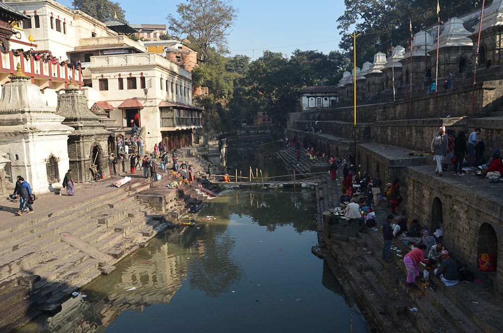
Religious site
पशुपतिनाथ मन्दिर
1,310 m
Pashupatinath is Nepal’s most sacred Hindu temple, dedicated to Shiva, on the banks of the Bagmati. It is a UNESCO World Heritage Site. Non-Hindus can view the temple complex and cremation ghats from the river.
Read place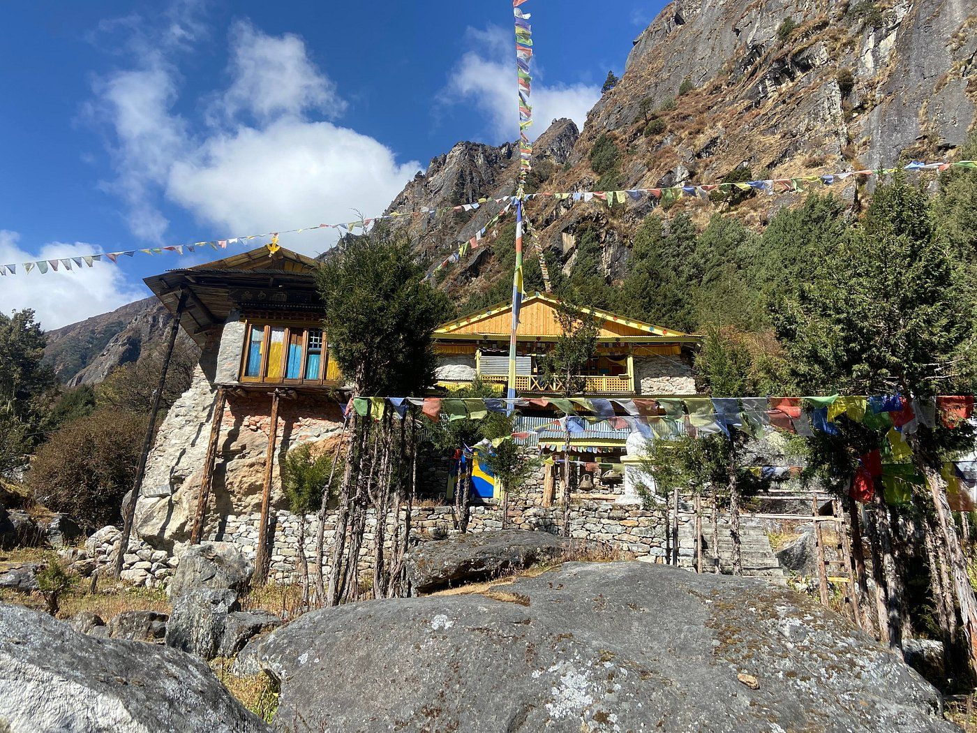
Religious site
पाथीभरा देवी मन्दिर
3,794 m
Pathibhara Devi Temple is a sacred Hindu and Buddhist shrine on a hilltop above Taplejung, at about 3,794 m. Pilgrims believe the goddess grants wishes, and many climb here from Phungling or Suketar.
Read place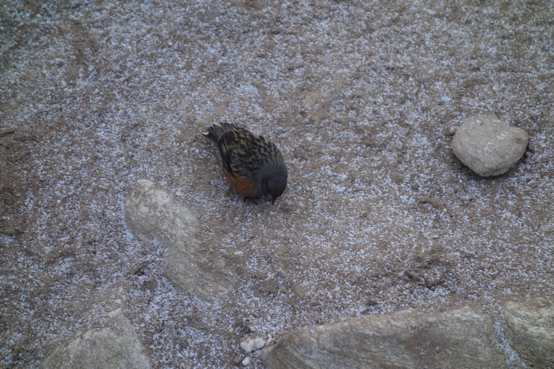
Village
फाक्दिङ
2,610 m
Phakding is a riverside village on the Dudh Koshi and the usual first overnight stop after flying into Lukla. The gentle walk here lets trekkers settle into the trail before the climb to Namche Bazaar.
Read place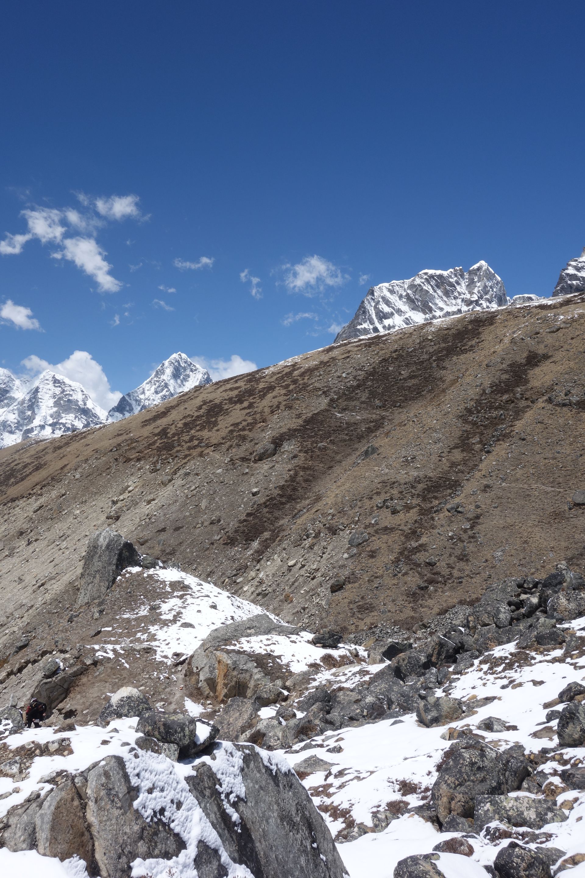
Airstrip / airport
फाप्लु
2,413 m
Phaplu is a Sherpa town in the Solu valley with an airstrip linked by flights to Kathmandu. It is a quieter alternative gateway to the Everest Region and the starting point for several lower Solu treks. Chiwong Monastery, which hosts a Mani Rimdu festival, is on a ridge nearby.
Read place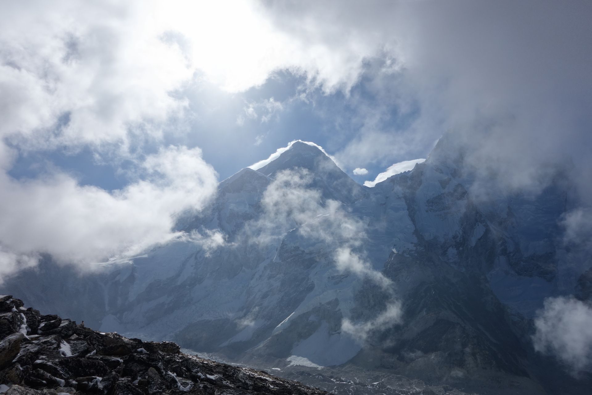
Village
फेरिचे
4,240 m
Pheriche is a windswept village in the Khumbu Khola valley, an alternative to Dingboche on the way to Everest Base Camp. It is home to the Himalayan Rescue Association aid post, which gives daily talks on altitude sickness during the trekking seasons.
Read place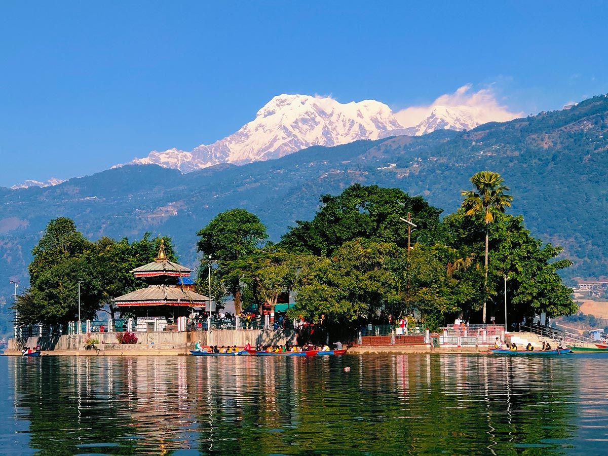
Lake
फेवा ताल
742 m
Phewa Lake is Nepal’s second-largest lake and the heart of Pokhara, with the Annapurnas and Machhapuchhre reflected in its water on still mornings. The Tal Barahi temple sits on a small island. Boats cross to the trail up to the World Peace Pagoda and onward to Panchase.
Read place
Village
फिलिम
1,570 m
Philim is a large Gurung village with terraced fields of millet and maize above the Budhi Gandaki. Just above it the trail splits for the Tsum Valley and the Manaslu Circuit. It has a school and several lodges.
Read place
Village
फोर्चे
3,810 m
Phortse is a quiet Sherpa village on a sunny shelf across the valley from Tengboche, home to the Khumbu Climbing Center that trains local mountain workers. It links the Everest and Gokyo trails. It is a peaceful alternative overnight stop away from the main route.
Read placePlace types
 Chat with MadanTypically replies in a few minutes