Village
फु
4,080 m
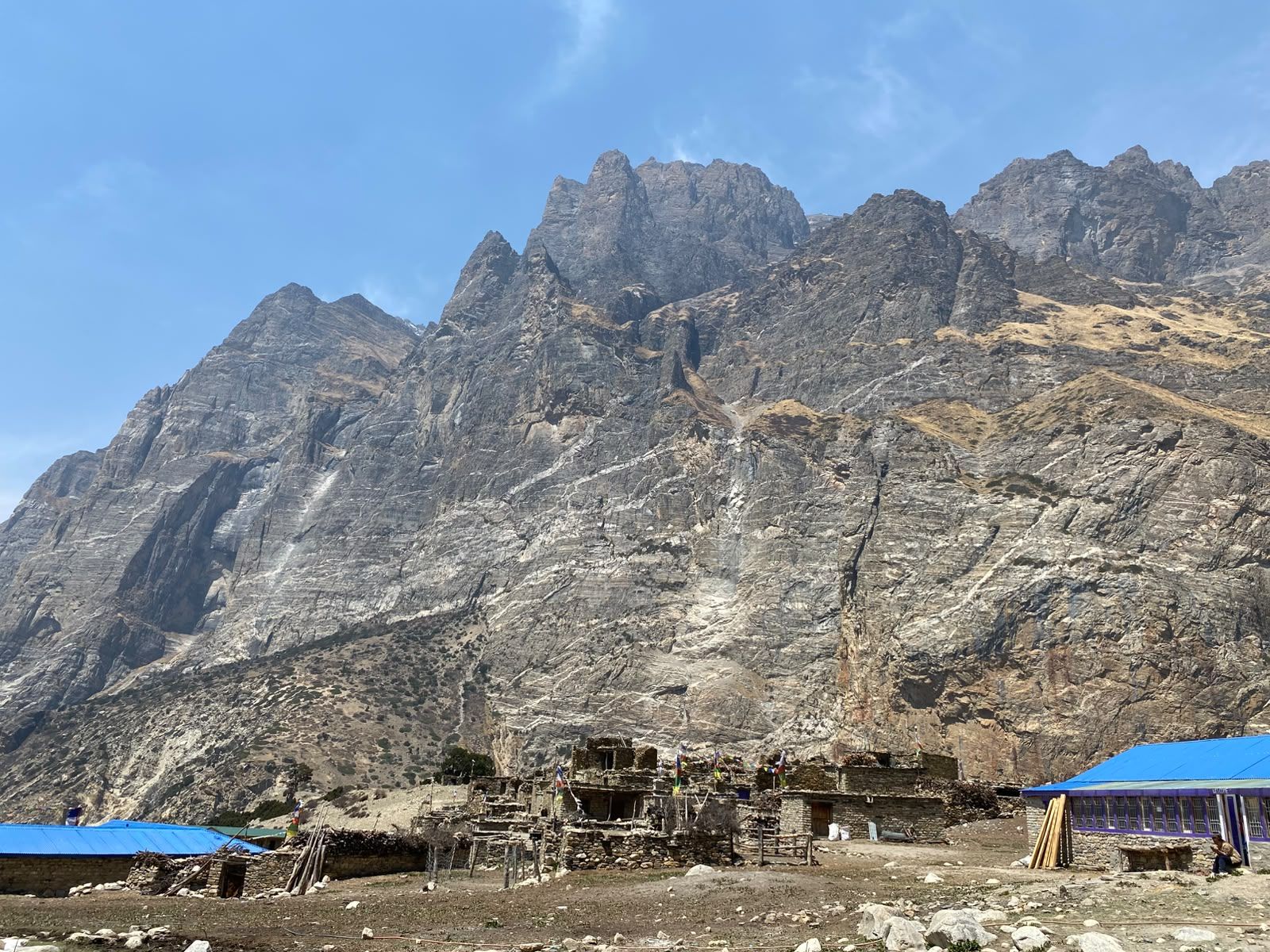
Phu is a medieval-looking Tibetan village at the head of the Phu valley, reached through a dramatic gate and canyon. It was opened to trekkers only in 2003. Tashi Lhakhang Gompa is one of the region’s important monasteries, and the village feels like old Tibet.
Read place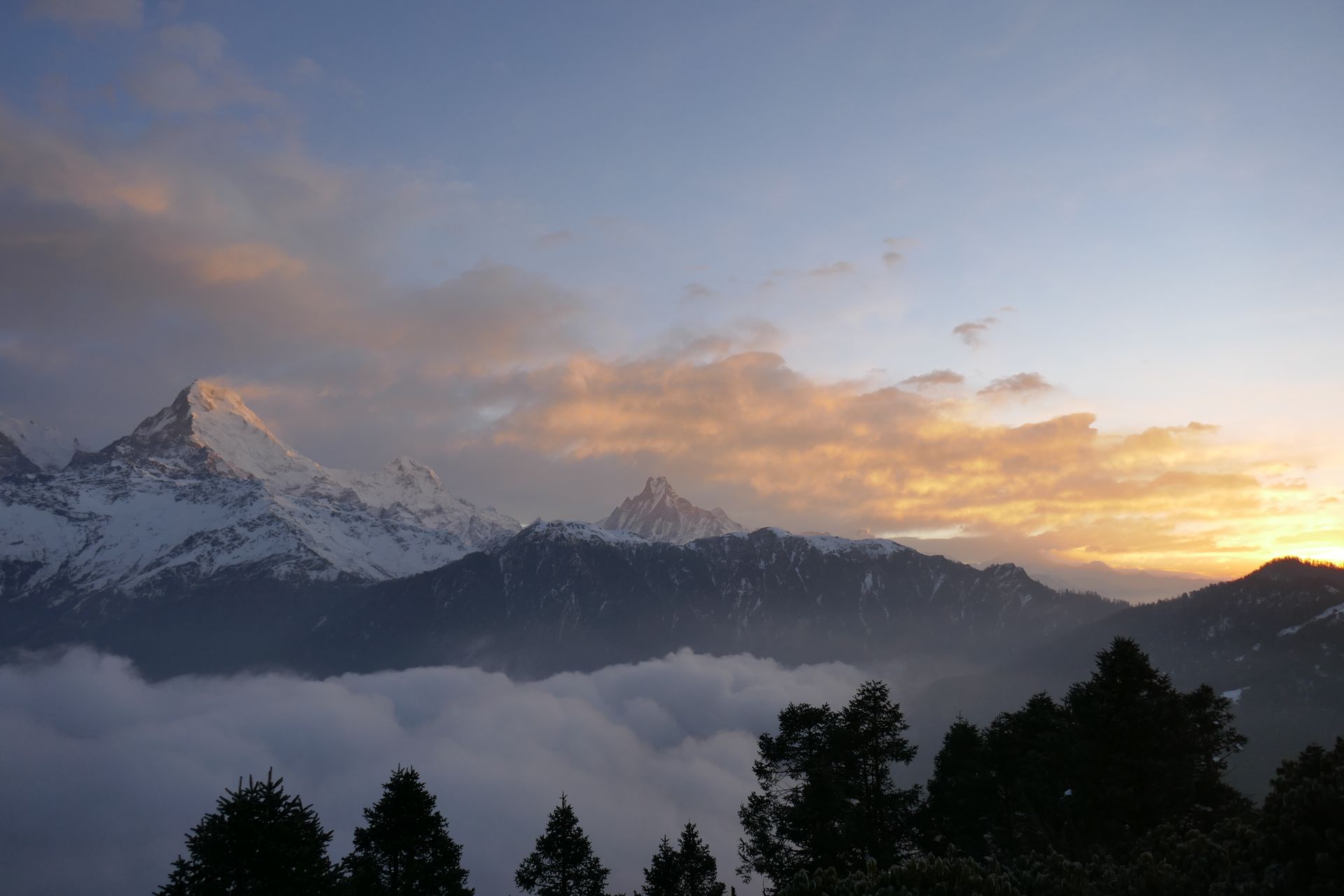
Forest
फुल्चोकी वन
1,500 m
Phulchowki is the highest hill on the Kathmandu Valley rim at 2,782 m, covered in oak and rhododendron forest. It is one of the best bird-watching sites in Nepal. On clear days the summit gives views from Annapurna to Everest.
Read place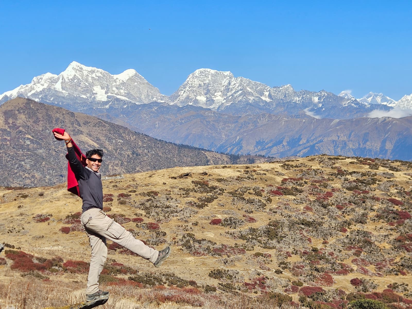
Viewpoint
पिके पिक
4,065 m
Pikey Peak is a 4,065 m hill in the lower Solu region, one of the best viewpoints in Nepal for a short trek. On a clear morning it reveals a long Himalayan panorama from Kanchenjunga to Everest and the Annapurnas.
Read place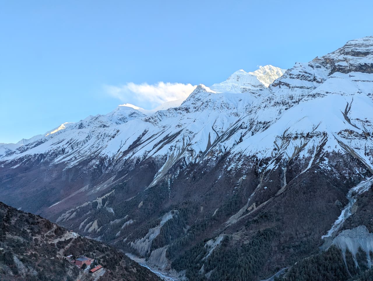
Village
पिसाङ
3,200 m
Pisang is a village in the upper Marsyangdi where the valley opens into the dry landscape of Manang. Lower Pisang sits by the river, with the old village of Upper Pisang on the hillside above. It faces the long wall of Annapurna II and Pisang Peak.
Read placeMountain peak
पिसाङ पिक
6,091 m
Pisang Peak is a 6,091 m trekking peak above Pisang village, a popular climbing add-on to the Annapurna Circuit. Its smooth snow slope is a recognisable feature of the upper Marsyangdi.
Read place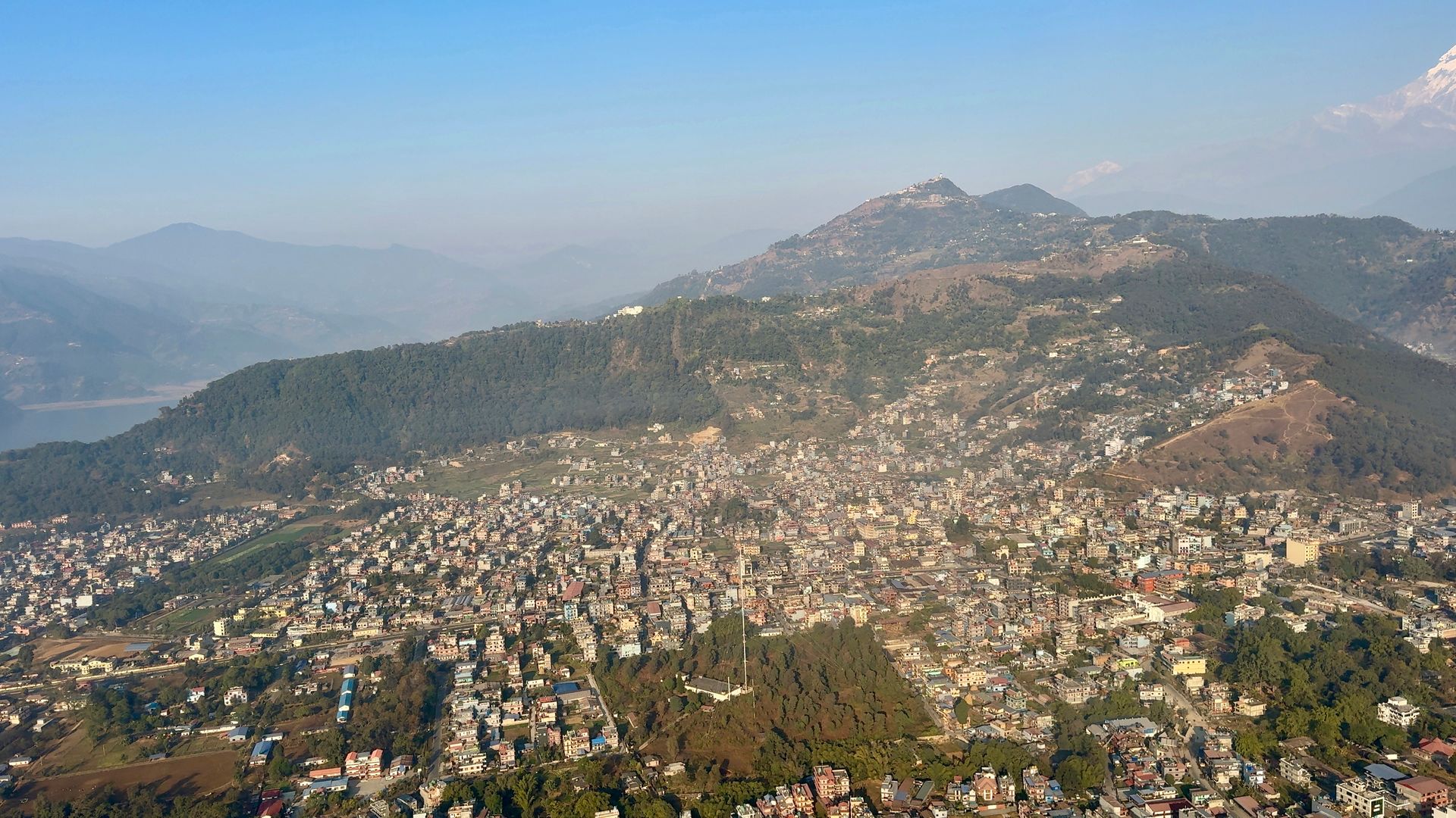
Town / city
पोखरा
822 m
Pokhara is Nepal’s second city and the gateway to the Annapurna Region, set on Phewa Lake beneath the Annapurna range and Machhapuchhre. It is the start and finish point for Poon Hill, Annapurna Base Camp, Mardi Himal and many other treks.
Read place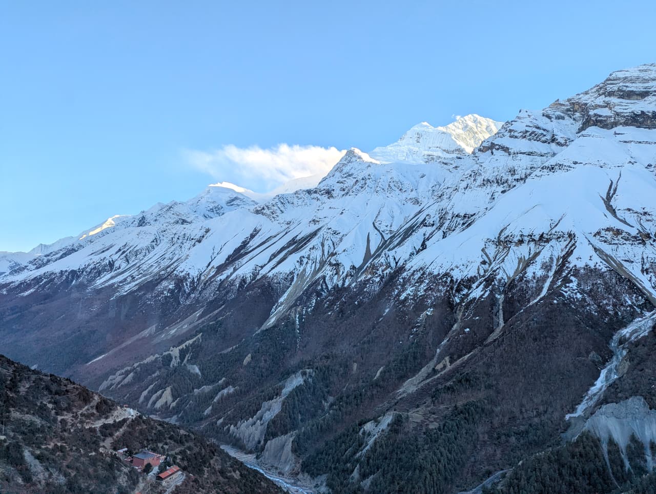
Airstrip / airport
पोखरा अन्तर्राष्ट्रिय विमानस्थल
820 m
Pokhara International Airport opened in January 2023, replacing the old domestic airport. Frequent flights of about 25 minutes connect it with Kathmandu. Jomsom flights for Mustang and the Annapurna Circuit depart from Pokhara.
Read place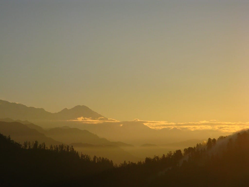
Viewpoint
पुन हिल
3,210 m
Poon Hill is Nepal’s most famous sunrise viewpoint, an hour’s climb above Ghorepani. From the top, the sun lights up Dhaulagiri, Tukuche, Nilgiri, Annapurna South, Hiunchuli and Machhapuchhre. It is the highlight of the short Ghorepani Poon Hill trek, one of the best short treks in Nepal.
Read place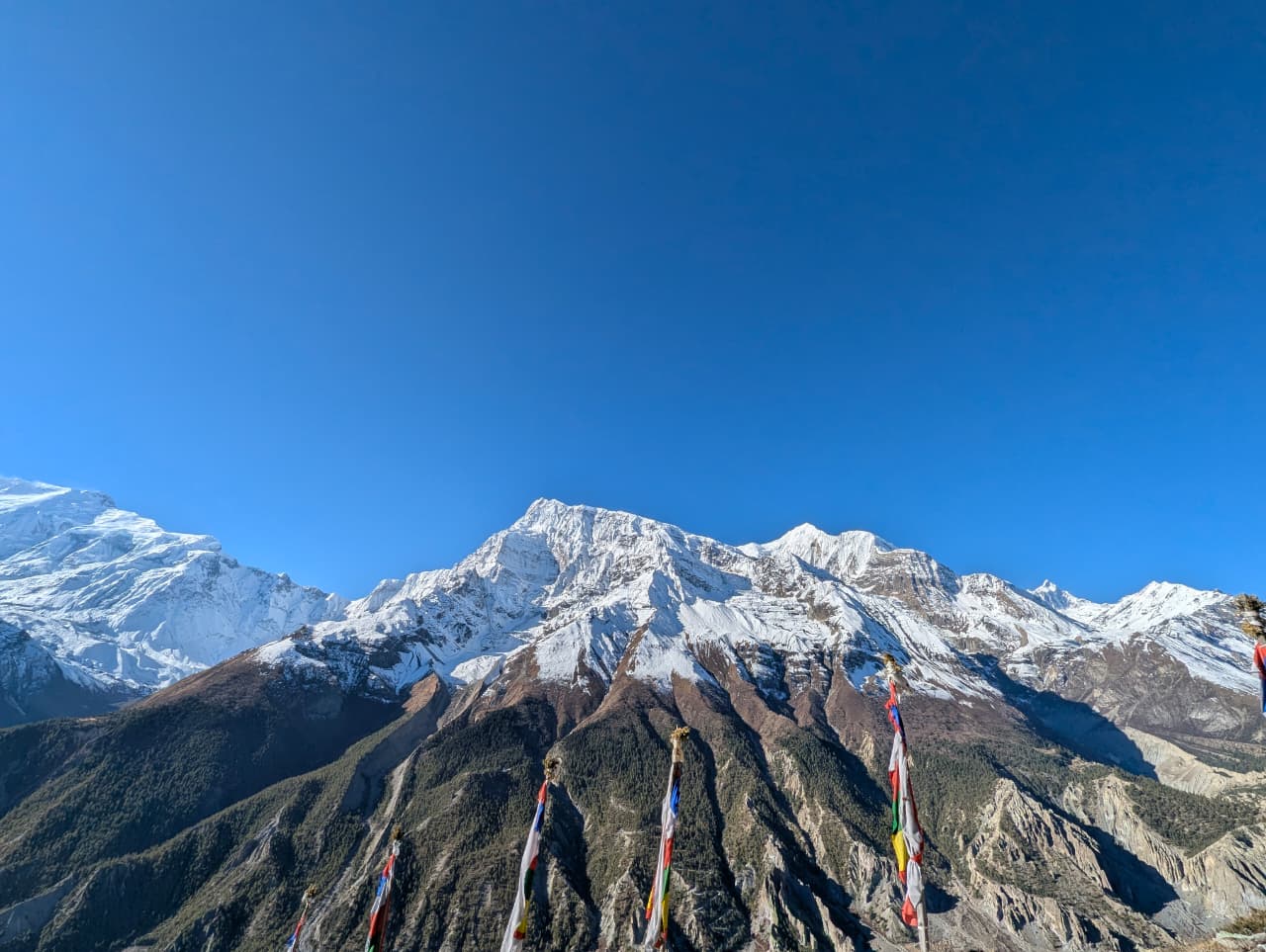
Religious site
प्राकेन गुम्बा
3,945 m
Praken Gompa is a small cave monastery above Manang, where a resident lama blesses trekkers before the Thorong La. The climb is a popular acclimatisation walk. It looks over the Manang valley and Gangapurna.
Read place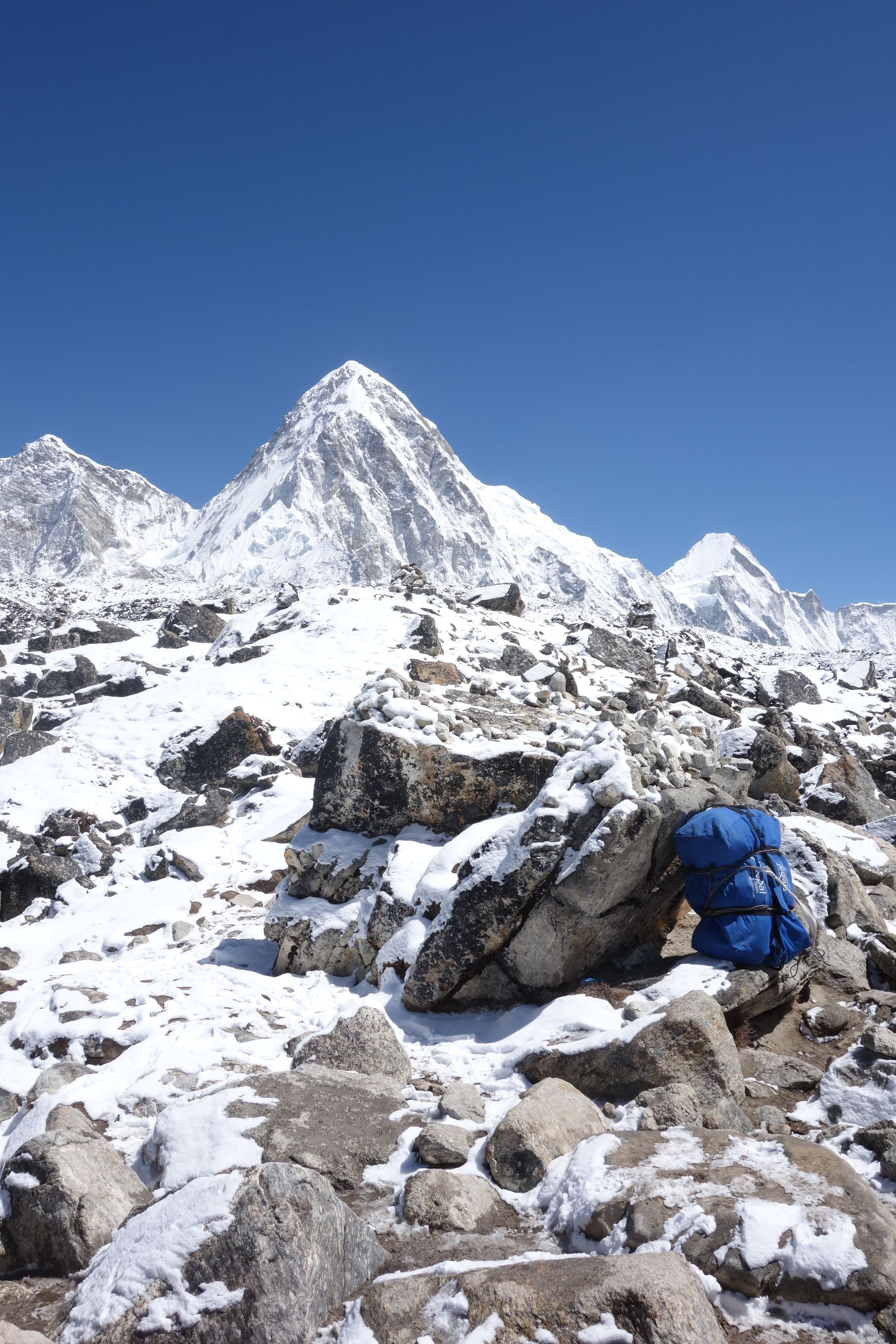
Mountain peak
पुमोरी
7,161 m
Pumori is a 7,161 m peak just west of Everest, its name meaning “unmarried daughter”, given by George Mallory. Kala Patthar is a spur of Pumori. Its steep pyramid towers above Gorak Shep.
Read place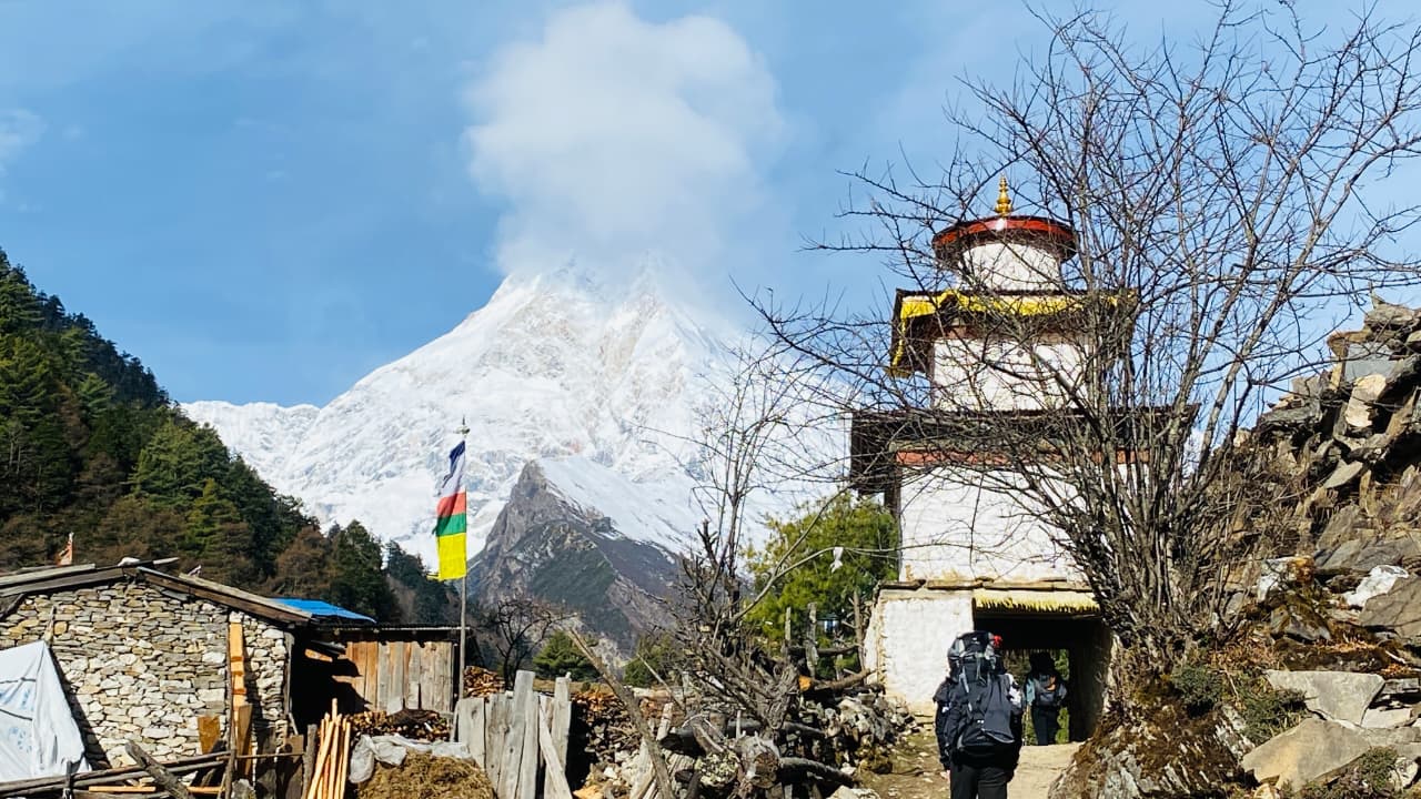
Religious site
पुङग्येन गुम्बा
4,000 m
Pungyen Gompa is a monastery in a meadow beneath Manaslu, reached on a day hike from Samagaun. It was rebuilt after an avalanche destroyed the original. It is a beautiful acclimatisation walk with views of the Manaslu glaciers.
Read placeReligious site
राचेन गुम्बा
3,240 m
Rachen Gompa is a Buddhist nunnery in Upper Tsum, founded in 1905. Visitors can see the nuns’ daily life and prayers. It is on the main trail between Chhokangparo and Nile.
Read place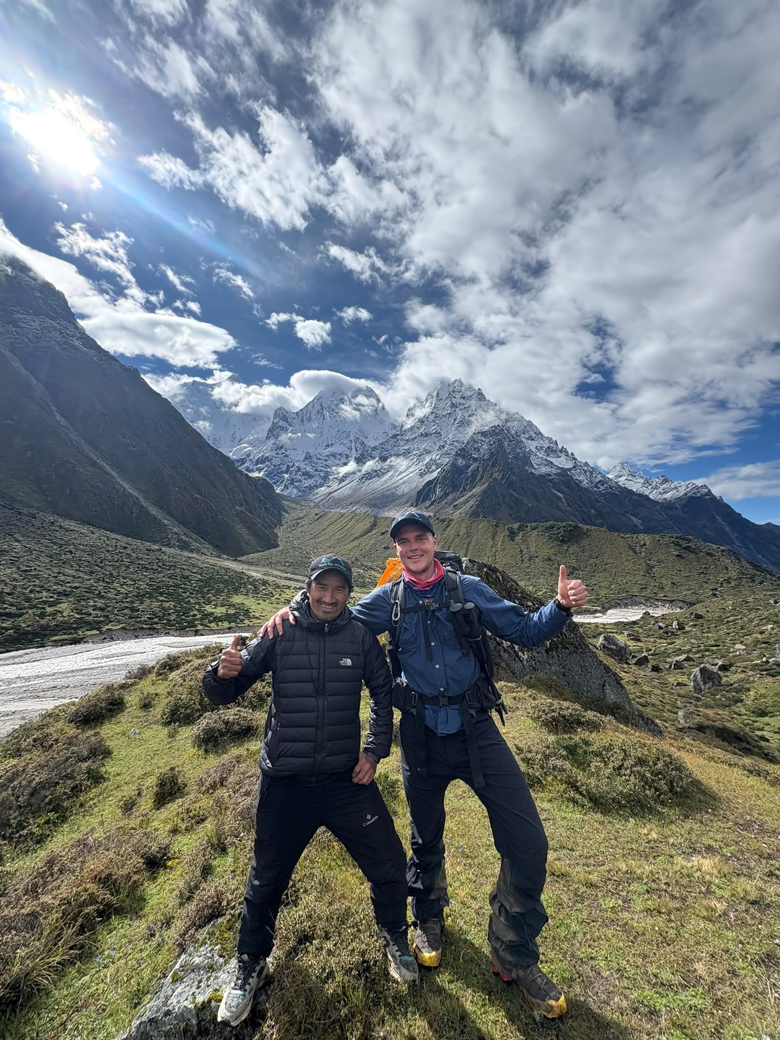
Village
4,480 m
Ramche, also known as Ramchaur, is a high-altitude camp at around 4,480m and an important staging point for the trek to Kanchenjunga South Base Camp.
Read place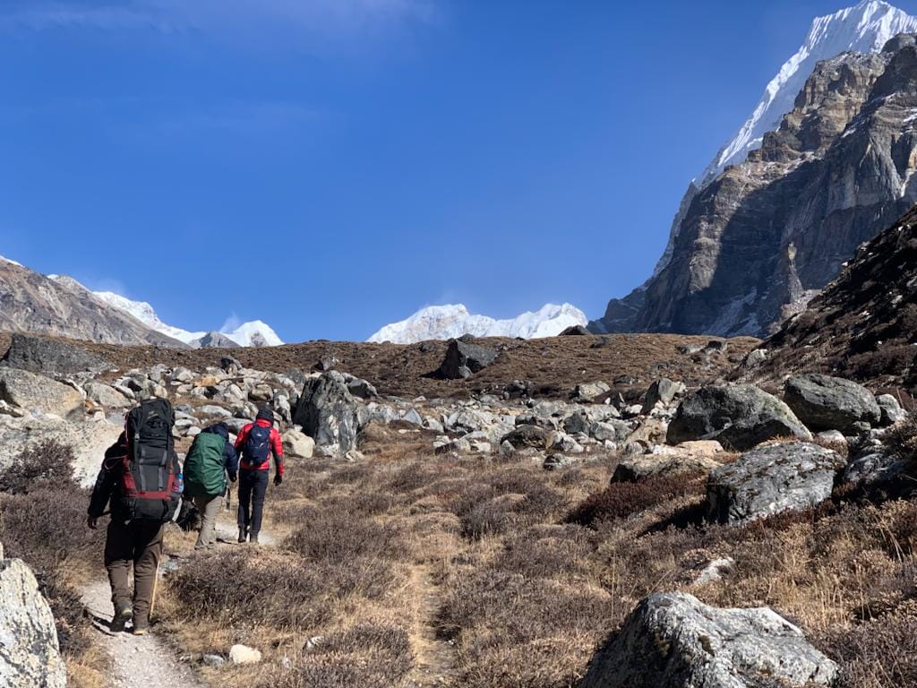
Mountain peak
Ramche is a high-altitude stop on the Kanchenjunga South Base Camp route. Start early for the best mountain views, walk at a steady pace, and allow time for acclimatization.Discover Ramche Viewpoint - a spectacular high-altitude viewpoint offering dramatic views of Kanchenjunga.
Read place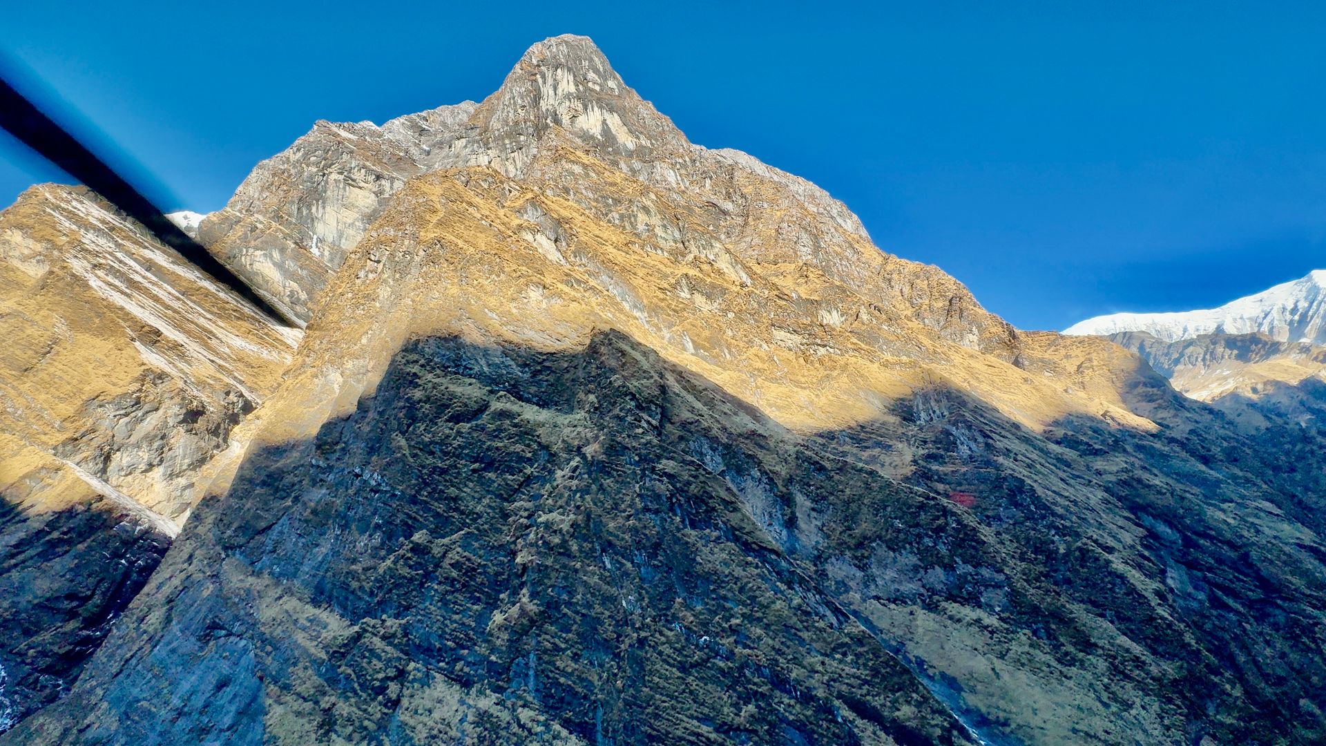
Village
रानीपौवा
3,700 m
Ranipauwa is the lodge village serving Muktinath temple, where trekkers rest after the long descent from Thorong La. It is also reached by road from Jomsom. It has shops, hotels and views over the barren Mustang landscape.
Read place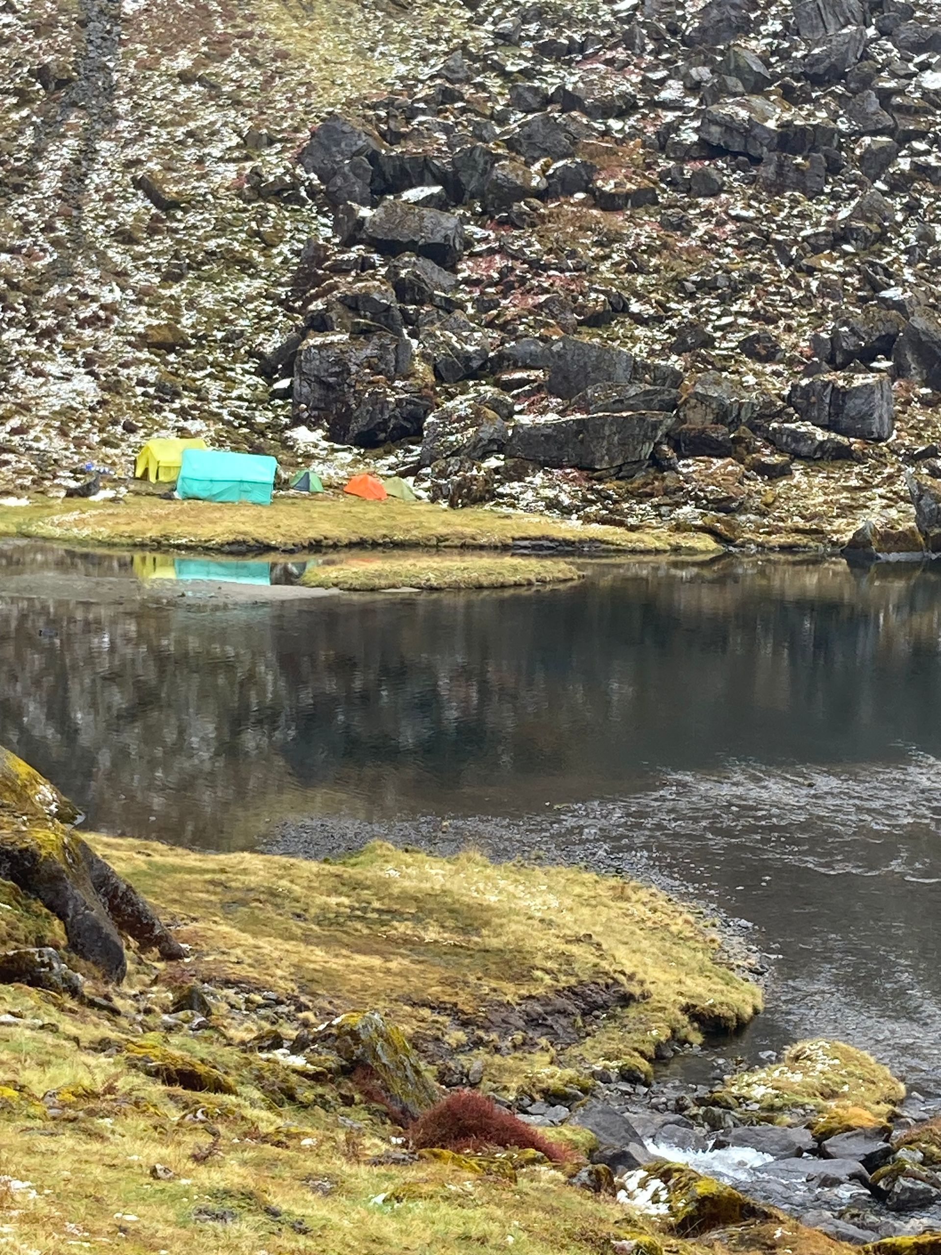
Lake
रारा ताल
2,990 m
Rara Lake is the largest lake in Nepal, at about 10.8 km², set among pine forest in Mugu. Its clear blue water changes colour with the light. It is the highlight of the Rara Lake and Rara to Jumla treks.
Read place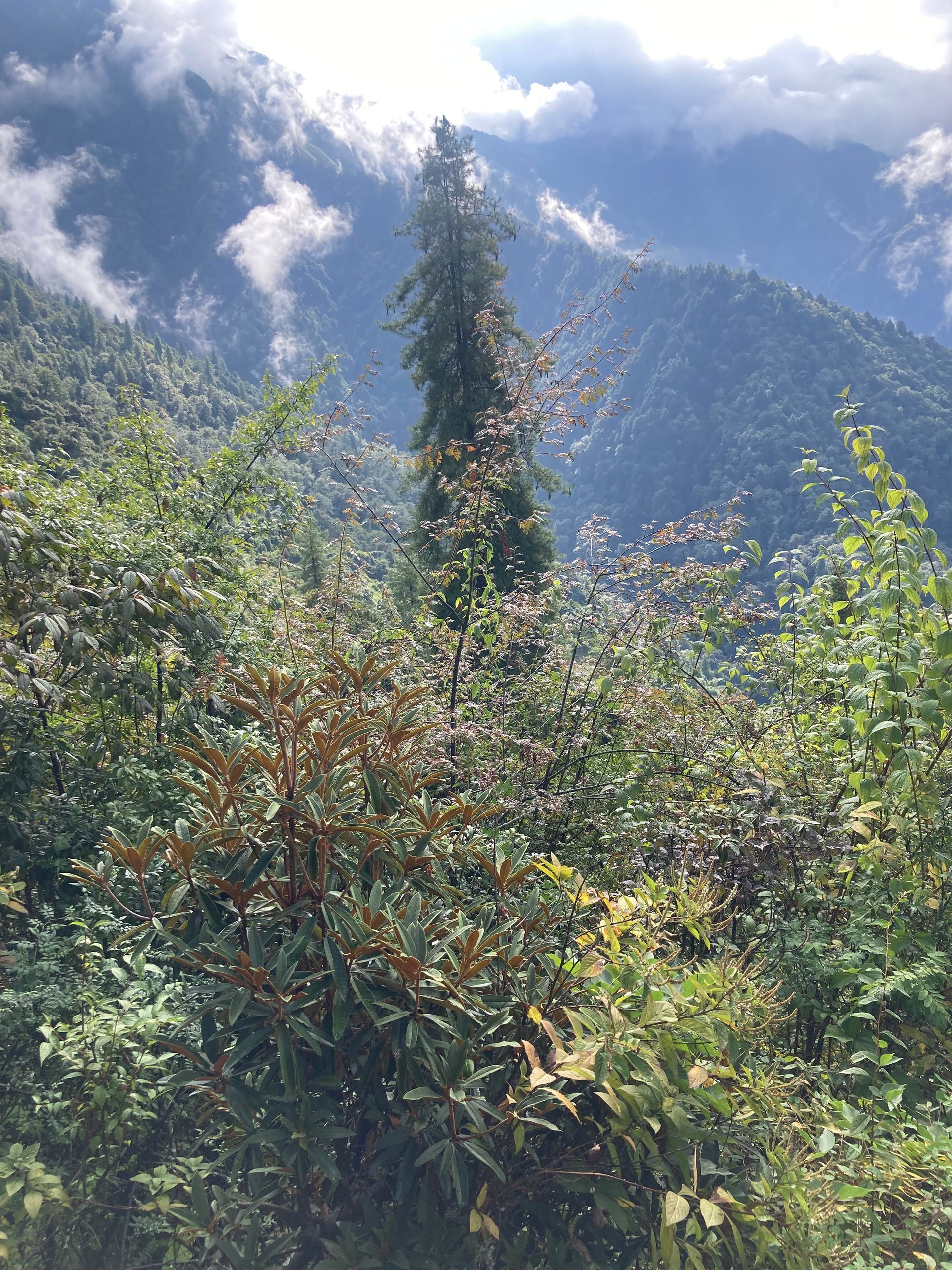
Conservation area
रारा राष्ट्रिय निकुञ्ज
1,800 m
Rara National Park, established in 1976, is Nepal’s smallest national park at about 106 km². It protects Rara Lake and the forests around it. It is home to red panda, musk deer and many birds.
Read place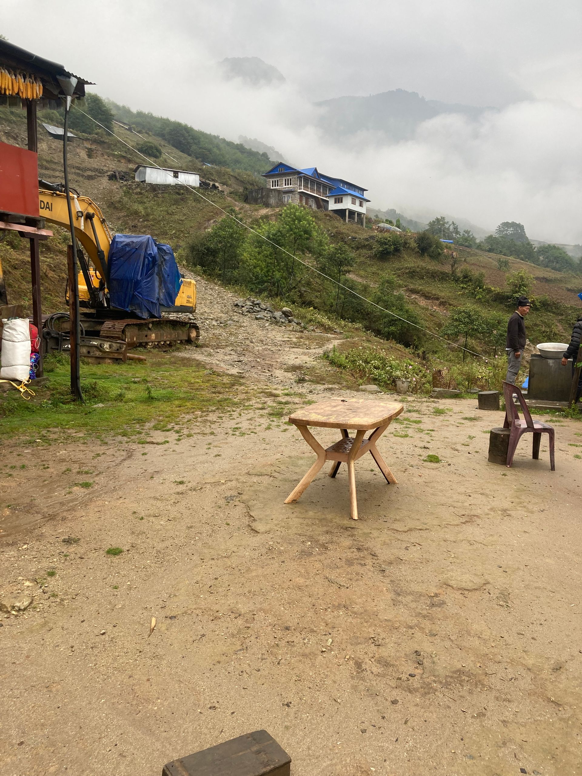
Checkpoint
रसुवागढी
1,800 m
Rasuwagadhi is the Nepal–Tibet border crossing on the Kerung road north of Syabrubesi, with a historic fort. It is the overland route to Kyirong and Lhasa. The Tamang Heritage Trail passes near it.
Read place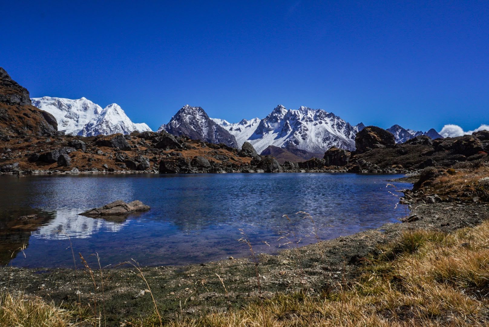
Mountain peak
6,682 m
Rathong is a 6,682 m peak on the Nepal–Sikkim border, south of the Kabru massif. Its glaciers feed rivers in both Nepal and Sikkim.
Read place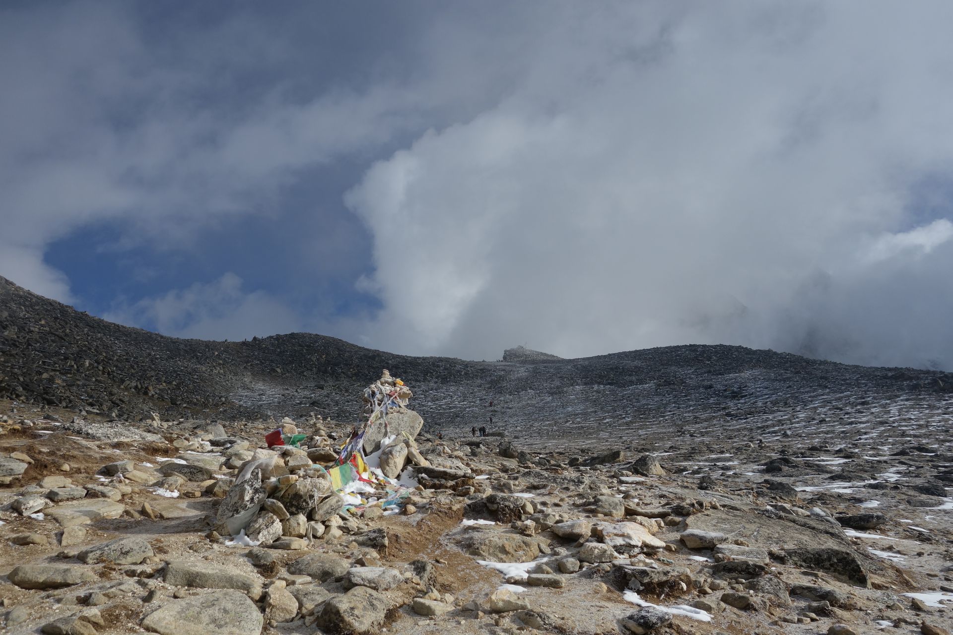
Pass
रेन्जो ला
5,360 m
Renjo La is the westernmost of the three passes, connecting Gokyo with Lungden and the Bhote Koshi valley. Many consider its summit view the finest in the Khumbu, looking over Gokyo Lake and the Ngozumpa Glacier to Everest and Makalu.
Read place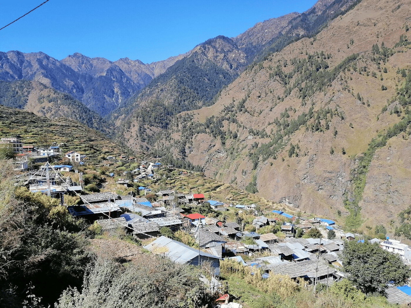
Village
रिम्चे
2,455 m
Rimche is a small lodge stop just above Lama Hotel in the Langtang gorge. It is a quieter alternative overnight. The forest is home to red panda and langur monkeys.
Read place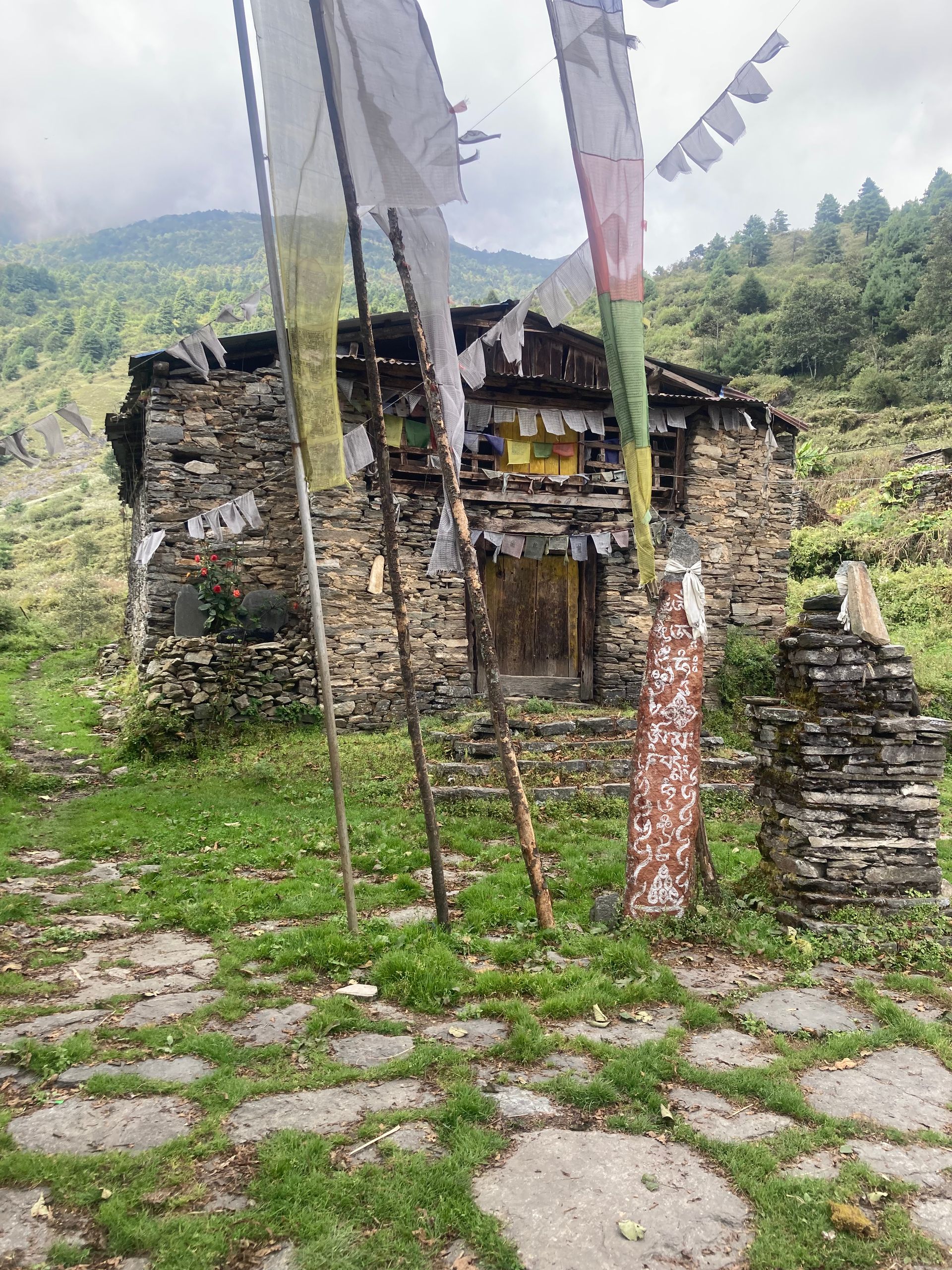
Village
रिङ्मो
3,641 m
Ringmo is a village on the shore of Phoksundo Lake, with a strong Bon-po culture. The Tshowa Gompa stands nearby. It is the base for exploring the lake.
Read place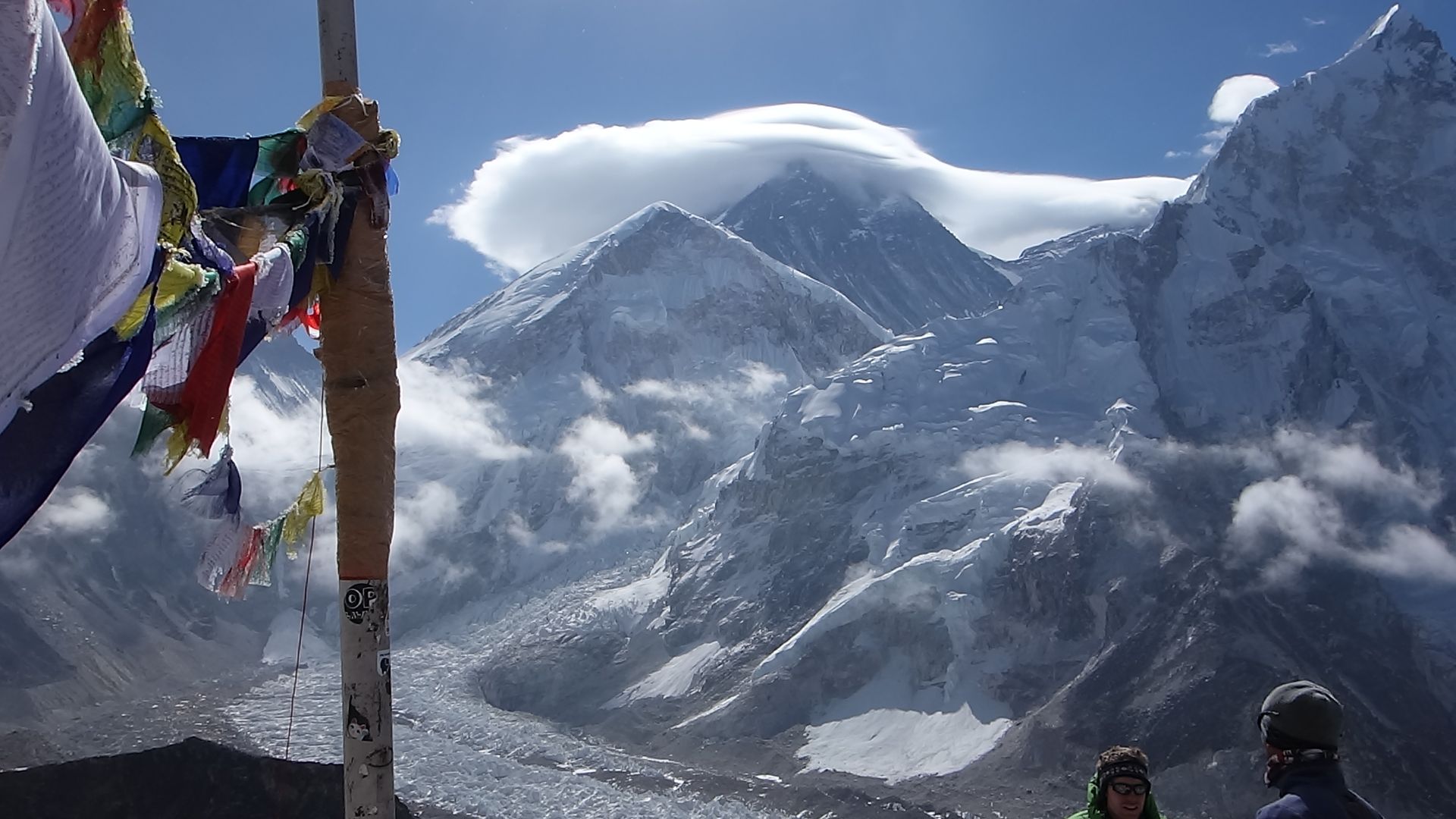
Village
रिङ्मो
2,720 m
Ringmo is a small Sherpa village in Solu, known for its apple orchards, on the old route between Junbesi and the Taksindu La. It lies on the classic Jiri to Everest trail and the approach to Dudh Kunda. It should not be confused with Ringmo village at Phoksundo Lake in Dolpo.
Read place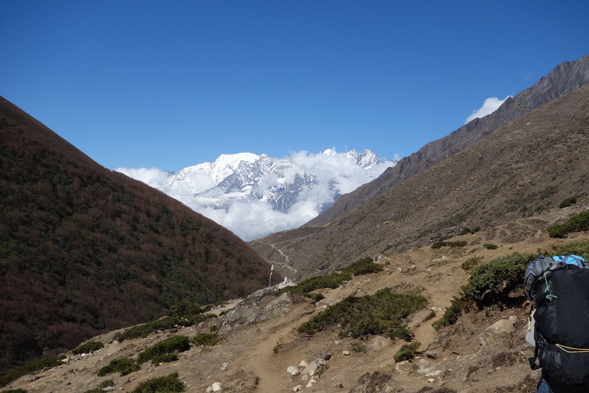
Valley
रोल्वालिङ उपत्यका
2,000 m
The Rolwaling valley is a remote Sherpa valley west of the Khumbu, regarded as a beyul, a sacred hidden valley. It runs from the Tamakoshi up to the glaciers below Tashi Lapcha. It sees far fewer trekkers than Everest and has only a few basic lodges, making it a true wilderness trek.
Read place

