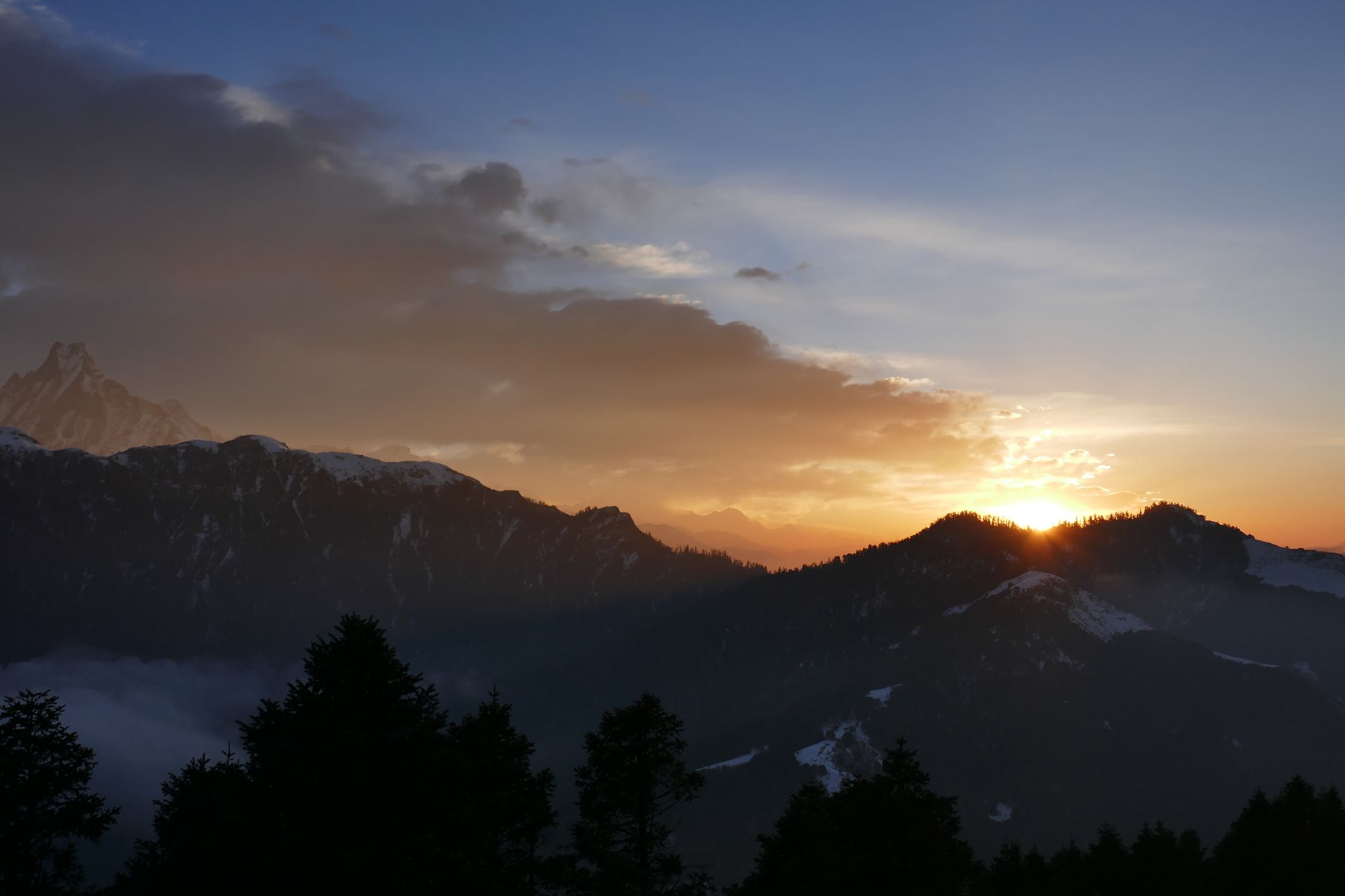
Valley
रुबी उपत्यका
1,200 m
Ruby Valley is a remote area beneath Ganesh Himal, named after the rubies and crystals once mined here. It is home to Tamang and Gurung villages such as Tipling and Chalish. The trek is a quiet, community-based route with homestays and hot springs.
Read place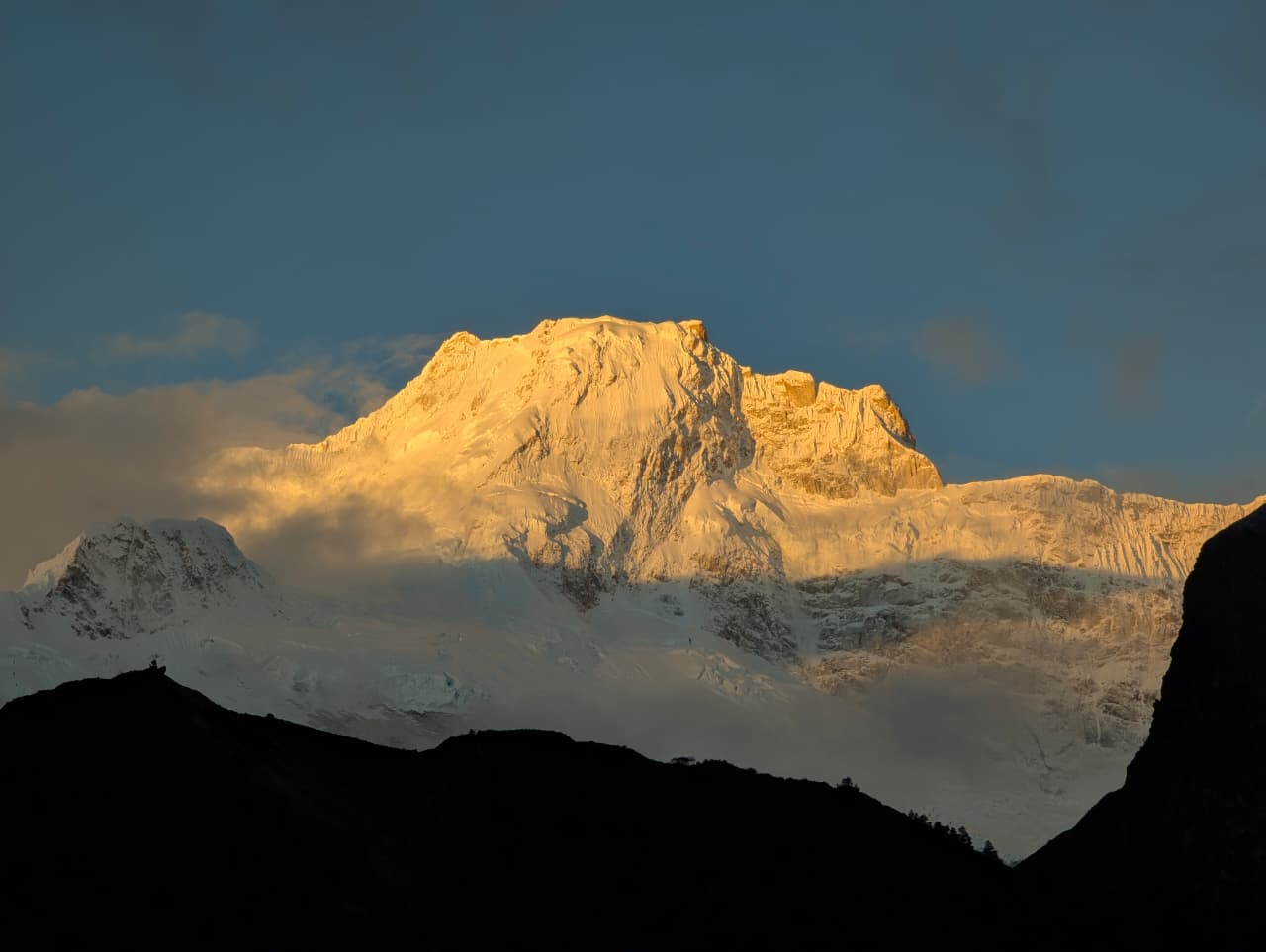
Pass
रुपिना ला
4,720 m
Rupina La is a high, remote pass between Barpak and the Budhi Gandaki valley. It is crossed on a camping trek with few other visitors. The route passes high pastures and offers views of the Manaslu range.
Read place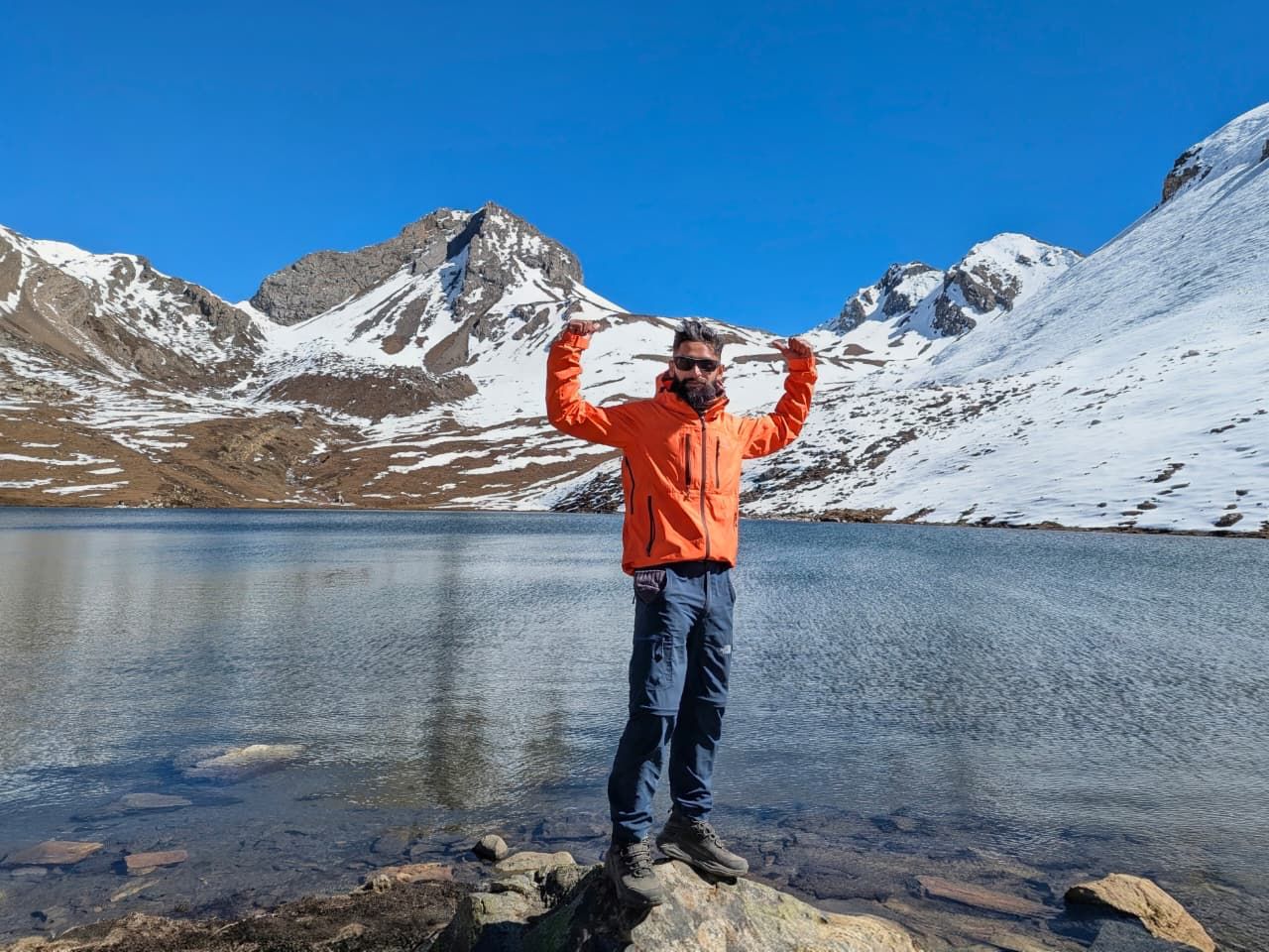
Waterfall
रुप्से छहरा
1,500 m
Rupse Chhahara is a tall waterfall beside the road and trail in the Kali Gandaki gorge, between Tatopani and Ghasa. It is one of the best-known waterfalls in Nepal. Trekkers and jeeps stop here for photos.
Read place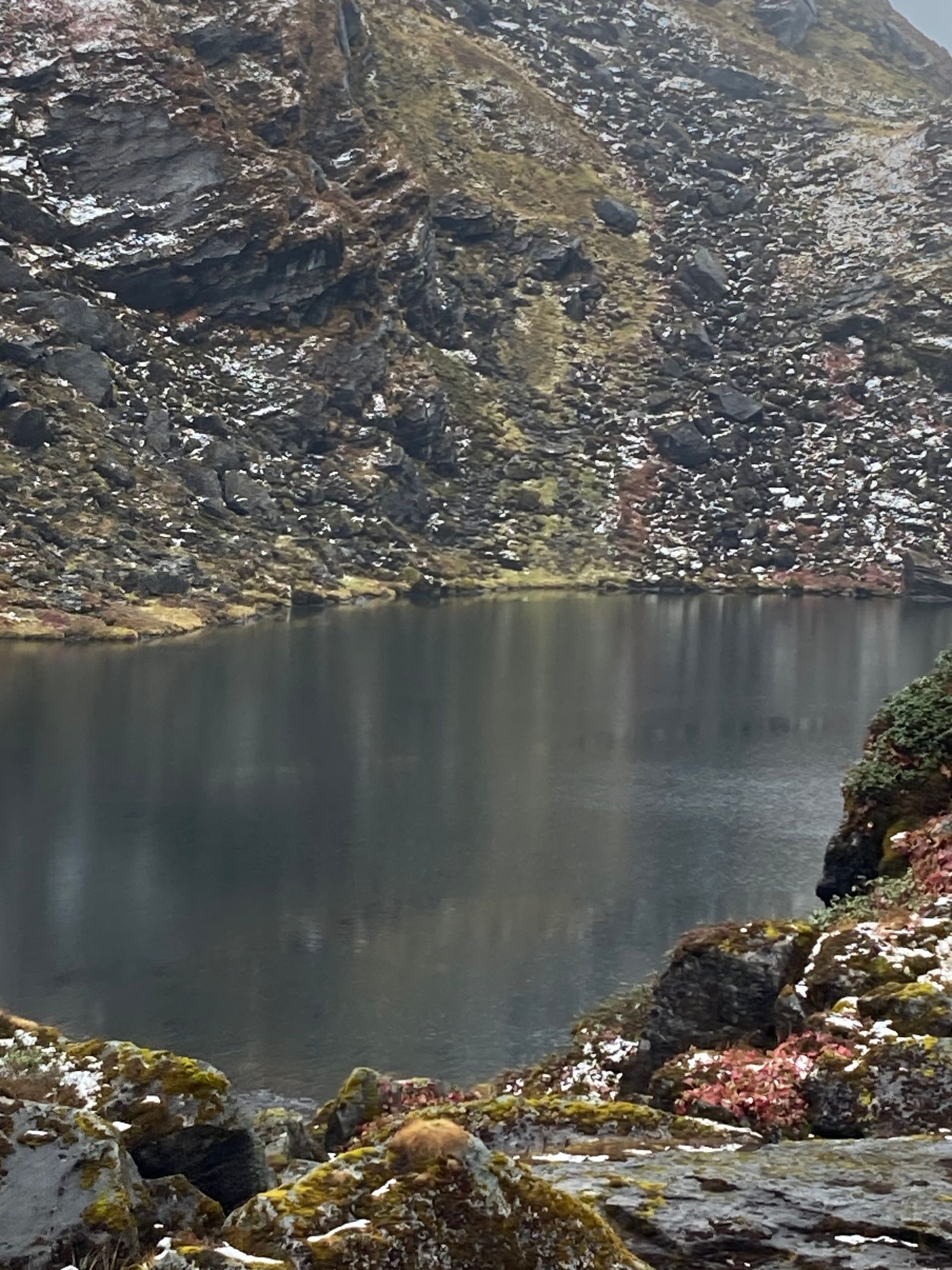
Lake
Sado Pokhari is a high alpine lake (pokhari) in the Kanchenjunga region of Taplejung district.
Read place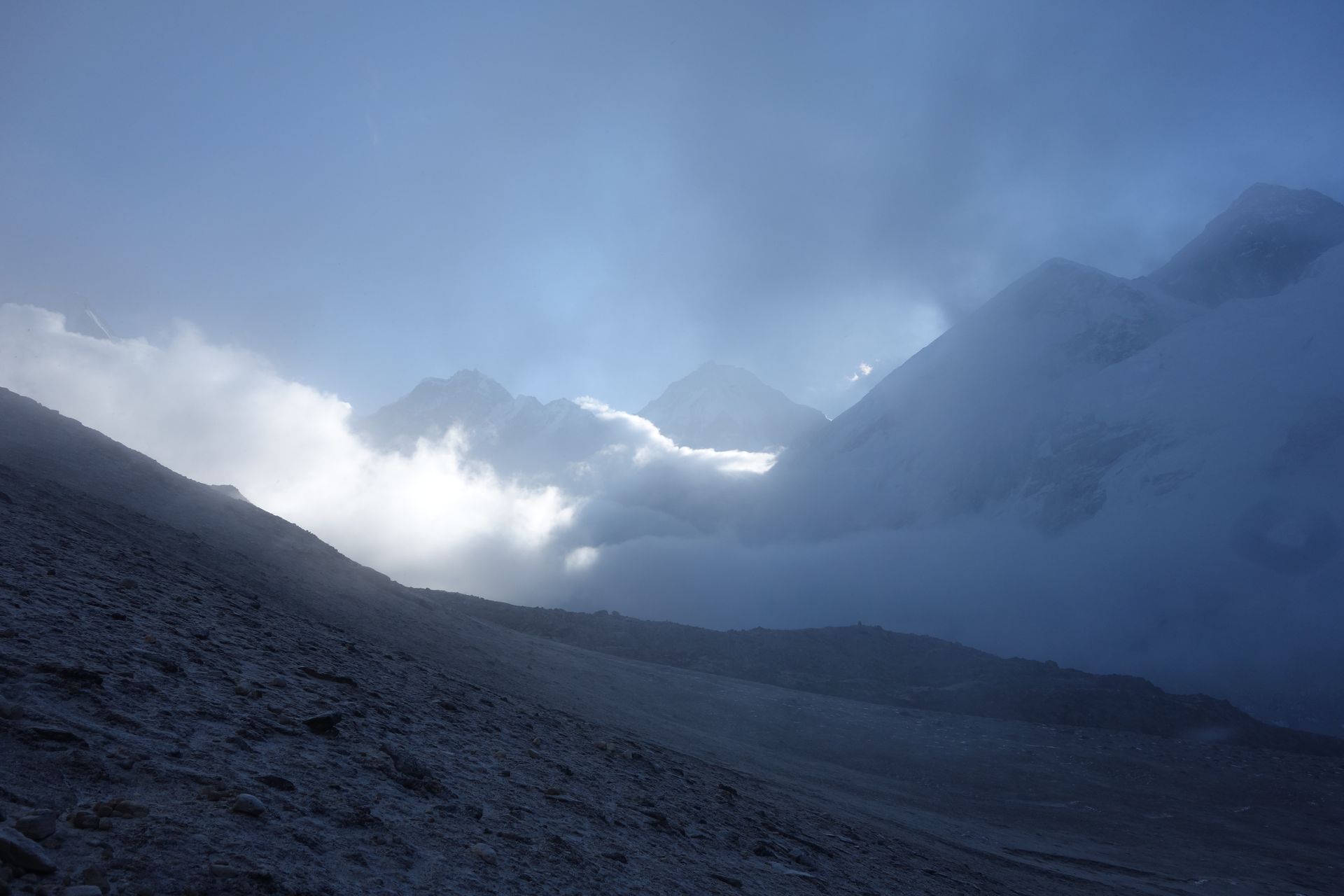
Conservation area
सगरमाथा राष्ट्रिय निकुञ्ज
2,845 m
Sagarmatha National Park protects the upper Khumbu, including Mount Everest, Lhotse, Cho Oyu and Ama Dablam. Established in 1976 and listed as a UNESCO World Heritage Site in 1979, it covers about 1,148 km² of glaciers, high valleys and Sherpa villages.
Read place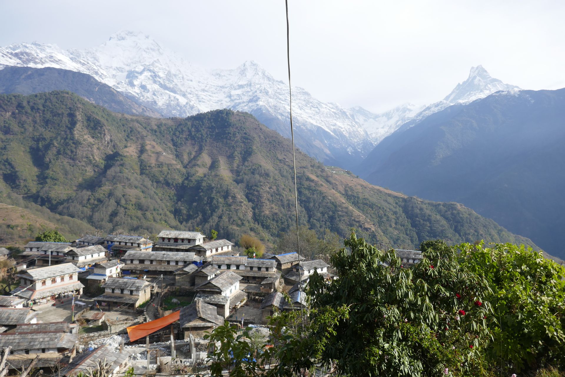
Base camp
साइपाल आधार शिविर
4,000 m
Saipal Base Camp is a remote camp beneath Saipal Himal. The approach passes untouched forest and villages. It is a full camping trek.
Read place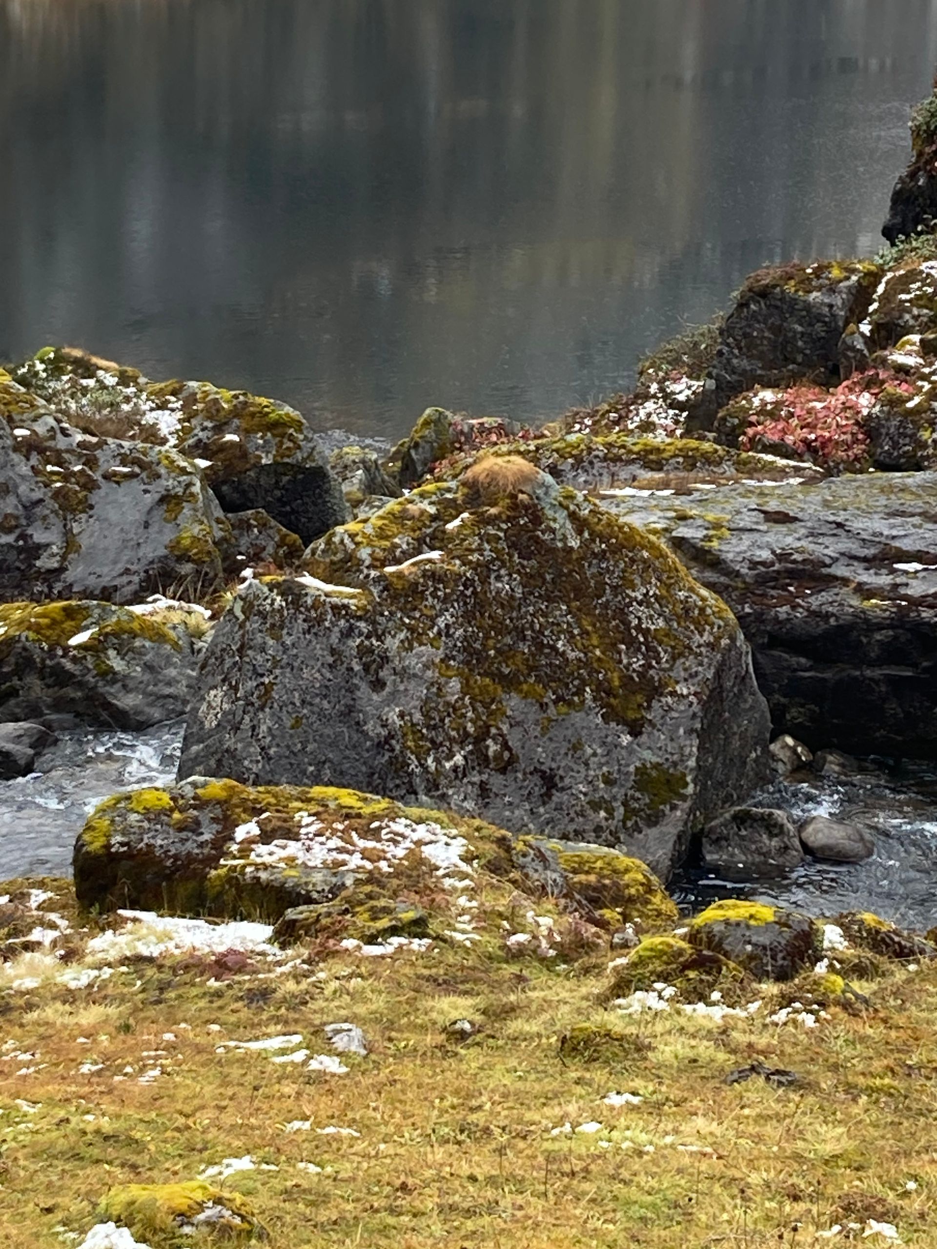
Mountain peak
साइपाल हिमाल
7,031 m
Saipal is a 7,031 m peak in Bajhang, the second-highest in far-western Nepal. It stands in a remote area with few visitors. The Saipal Himal trek reaches its base camp.
Read place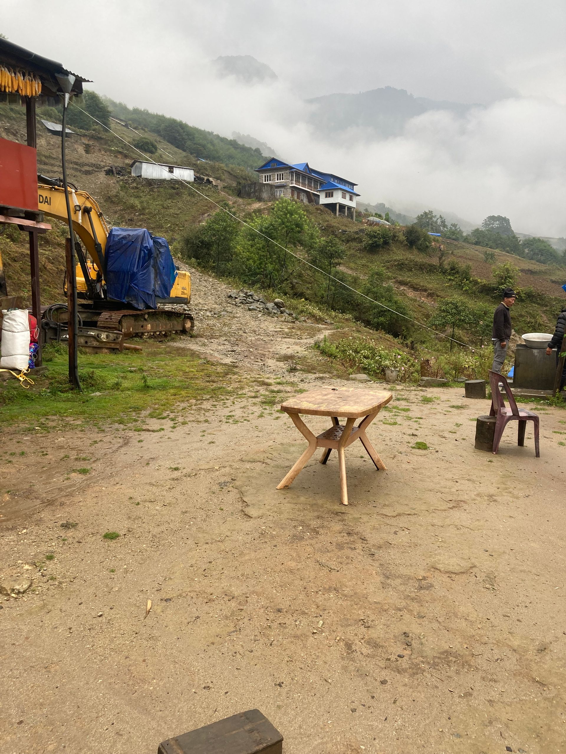
Village
साल्दाङ
3,770 m
Saldang is one of the largest villages in Upper Dolpo, spread along a terraced hillside. It is a centre of Dolpo’s Tibetan culture. It lies on the main Upper Dolpo trail.
Read place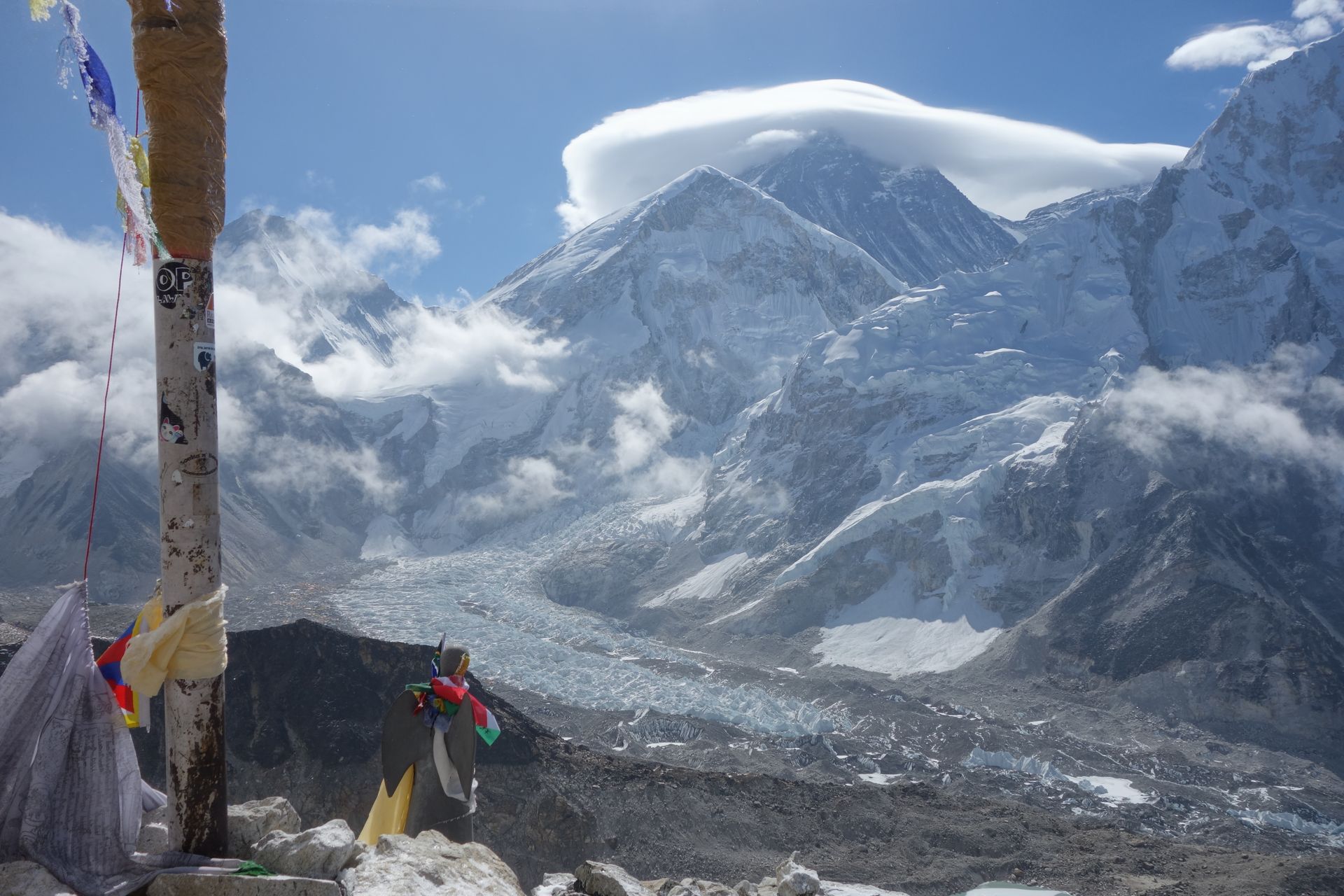
Town / city
सल्लेरी
2,390 m
Salleri is the district headquarters of Solukhumbu, a market town in the lower Solu region connected to Kathmandu by road. It is a starting point for treks to Dudh Kunda, Pikey Peak and the lower Everest trail. Phaplu airstrip is a short walk away.
Read place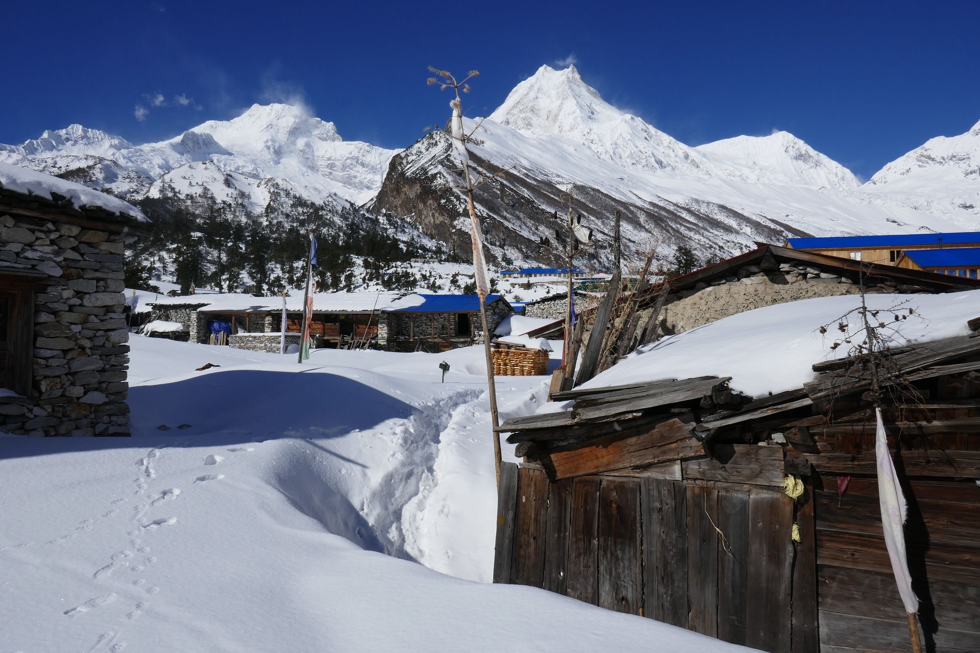
Village
सामागाउँ
3,530 m
Samagaun is the largest village in Nubri, set in a wide valley beneath Manaslu. It is the main acclimatisation stop on the circuit. Side trips lead to Birendra Tal, Pungyen Gompa and Manaslu Base Camp.
Read place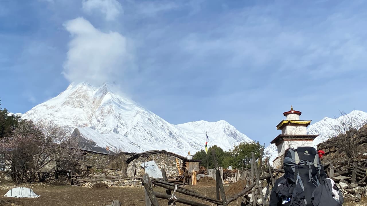
Village
साम्दो
3,875 m
Samdo is a Tibetan refugee village, the last permanent settlement before the Larkya La. It lies close to the Tibet border, reached via an old trade route. Trekkers often spend an extra night here to acclimatise.
Read place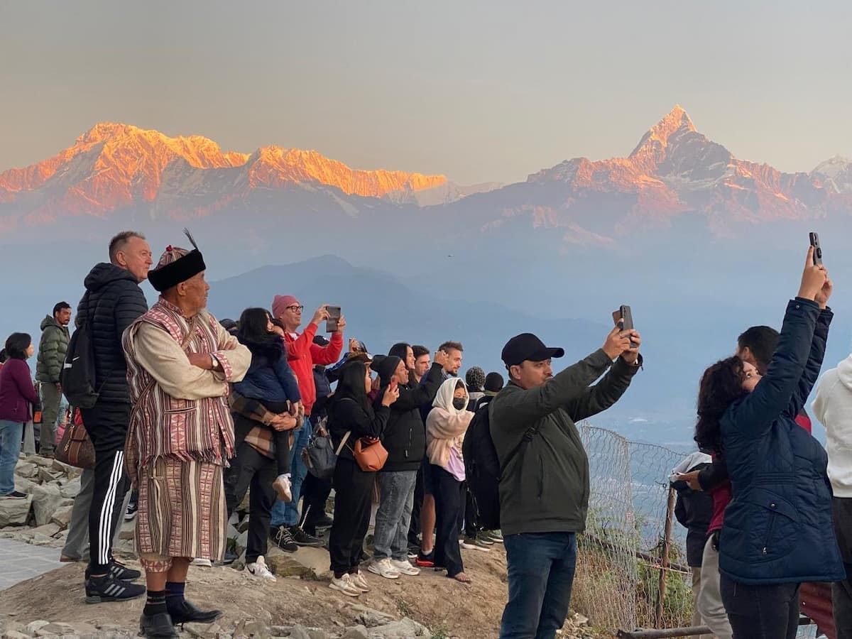
Viewpoint
सराङकोट
1,600 m
Sarangkot is a hilltop above Pokhara famous for sunrise views of Dhaulagiri, Annapurna and Machhapuchhre. It is also Pokhara’s main paragliding launch point. It can be reached by road or on foot from Lakeside in about two hours.
Read place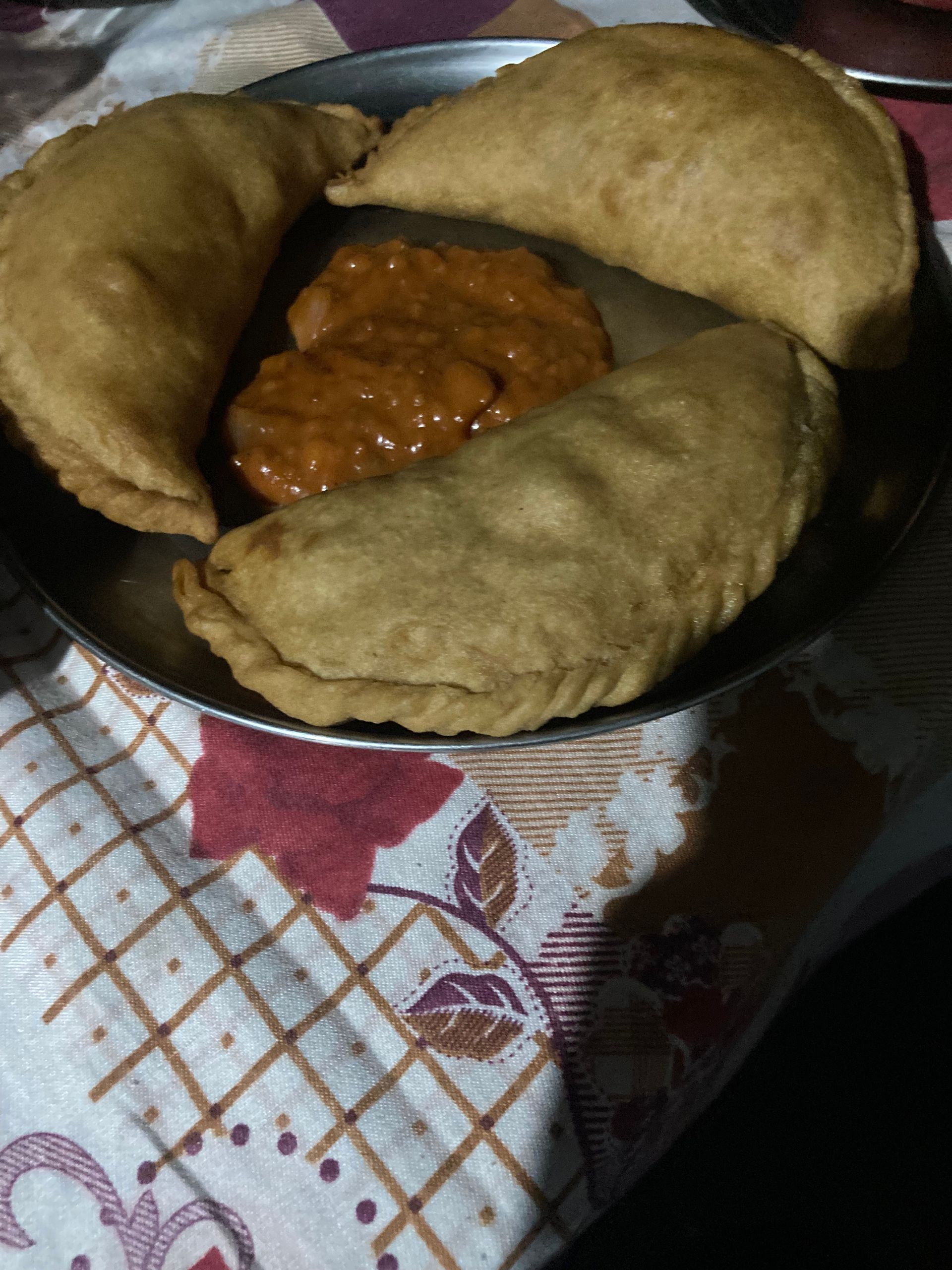
Village
सेदुवा
1,500 m
Seduwa is a village with the Makalu Barun National Park entry checkpoint. It sits among rice terraces and cardamom fields. Trekkers continue up to Tashigaon.
Read place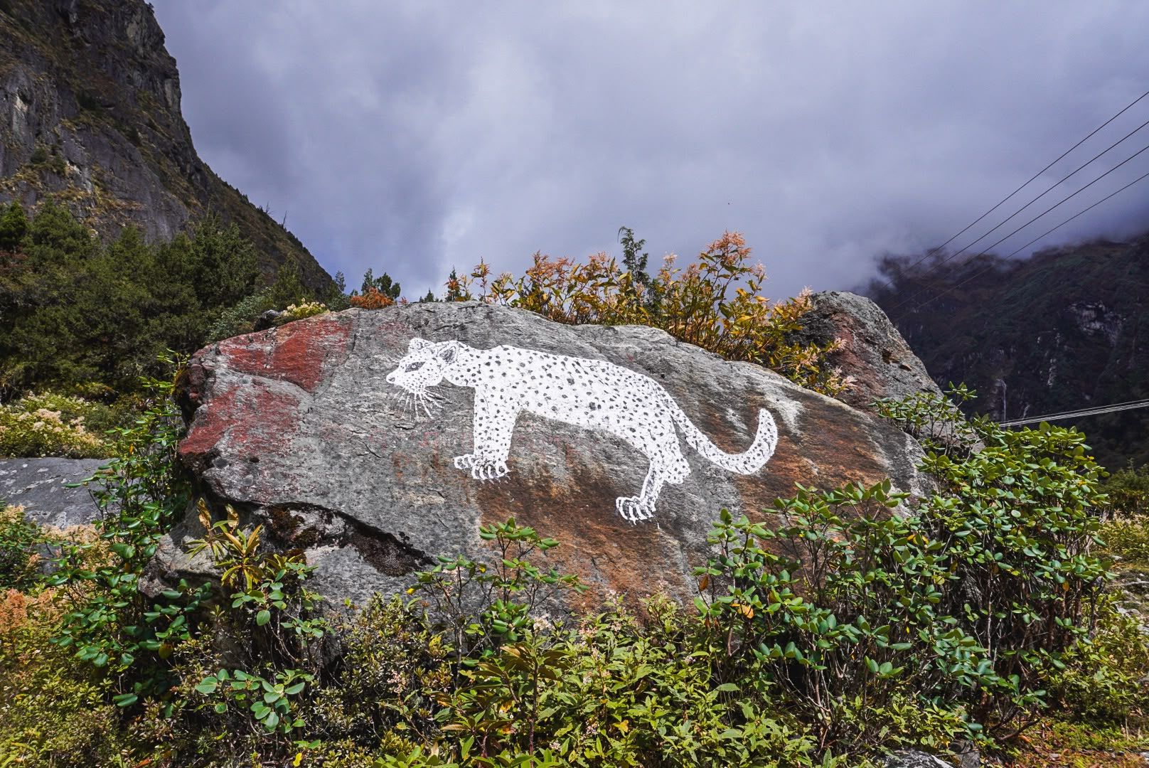
Village
Sekathum
1,640 m
Sekathum, at around 1,640 metres, is a key waypoint on the Kanchenjunga trek. Surrounded by dense forests, rushing rivers and steep mountain valleys, it marks the transition into the remote Kanchenjunga wilderness, with the trail continuing toward Amjilosa, Gyabla and Ghunsa.
Read place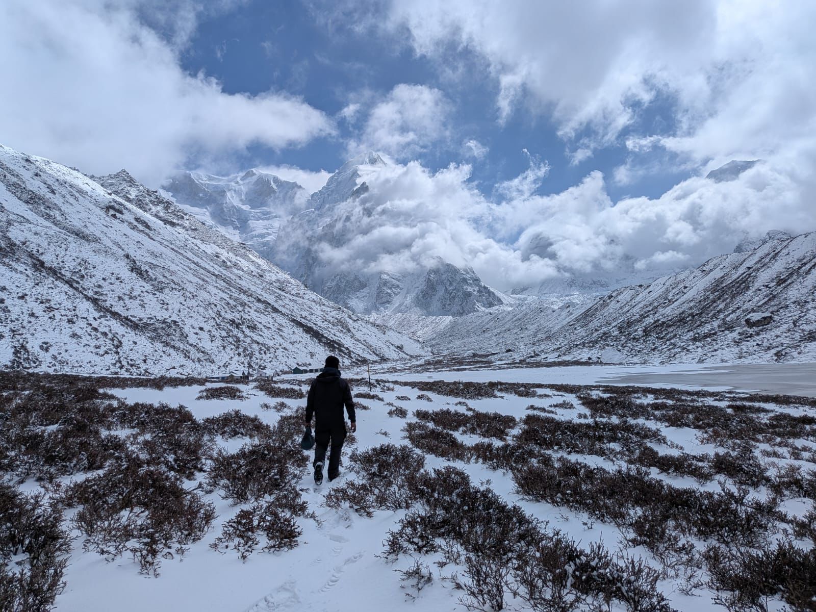
Base camp
4,130 m
Sele La Camp is a remote high-altitude overnight stop above Ghunsa, serving as a staging point for the demanding pass crossing toward Tseram.
Read placePass
Sele La Pass is a remote 4,290m mountain crossing connecting the northern Ghunsa Valley with Tseram and the southern Kanchenjunga region.
Read place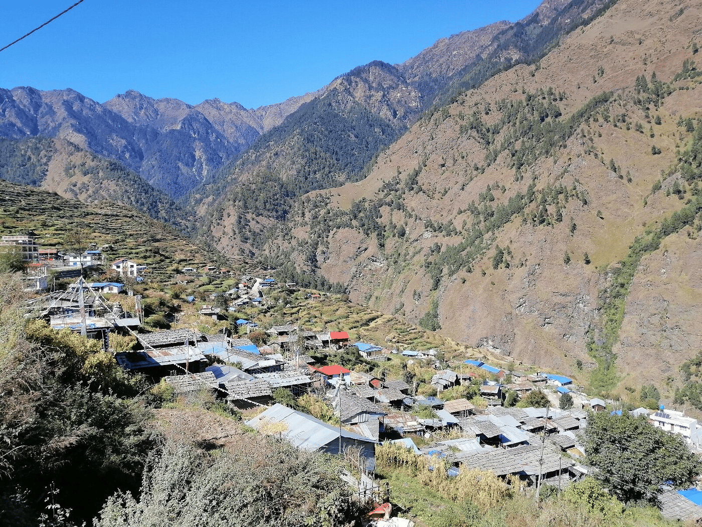
Village
सेर्माथाङ
2,610 m
Sermathang is a Hyolmo village in southern Helambu, set among apple orchards and forest. It has a monastery and views of the Jugal range. From here the trek descends to Melamchi Bazaar.
Read place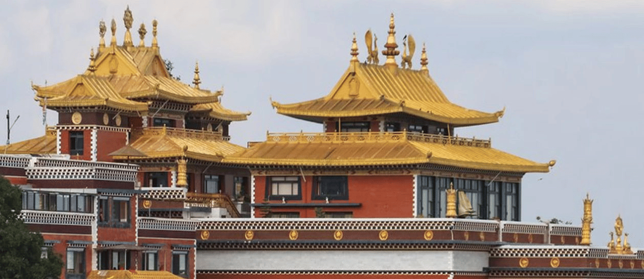
Religious site
शे गुम्बा
4,390 m
Shey Gompa is an ancient monastery in Upper Dolpo, near the sacred Crystal Mountain. It was made famous by Peter Matthiessen’s book The Snow Leopard. It is a highlight of the Upper Dolpo trek.
Read place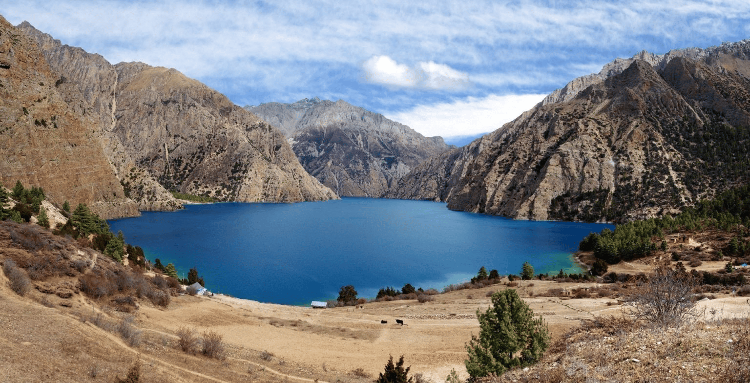
Lake
शे-फोक्सुण्डो ताल
3,611 m
Shey Phoksundo is the deepest lake in Nepal, famous for its brilliant turquoise colour. It is sacred and lies in a stark landscape of cliffs and forest. It is the highlight of the Shey Phoksundo, Lower Dolpo and Upper Dolpo treks.
Read place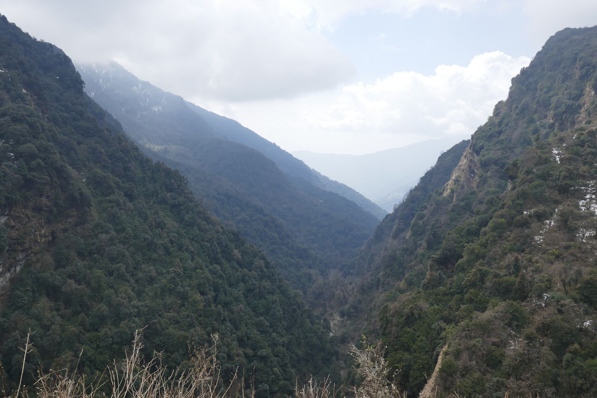
Conservation area
शे-फोक्सुण्डो राष्ट्रिय निकुञ्ज
2,130 m
Shey Phoksundo National Park, established in 1984, is Nepal’s largest national park at about 3,555 km². It protects the trans-Himalayan landscapes of Dolpo, including snow leopard habitat. Upper Dolpo trekking requires a restricted area permit.
Read place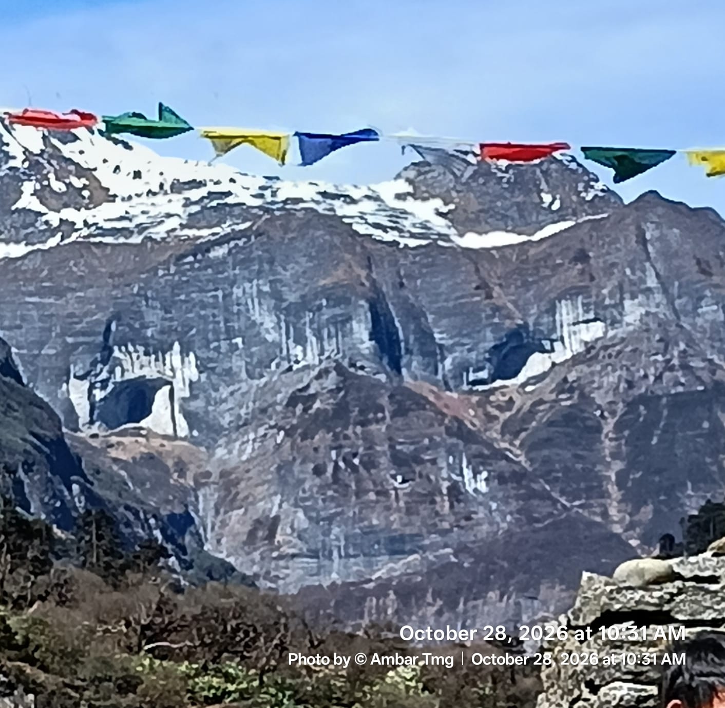
Pass
सिप्टन ला
4,210 m
Shipton La is the high pass on the Makalu Base Camp trek, named after explorer Eric Shipton. The crossing includes the nearby Keke La and passes small lakes. It gives views of Makalu, Chamlang and Kanchenjunga.
Read place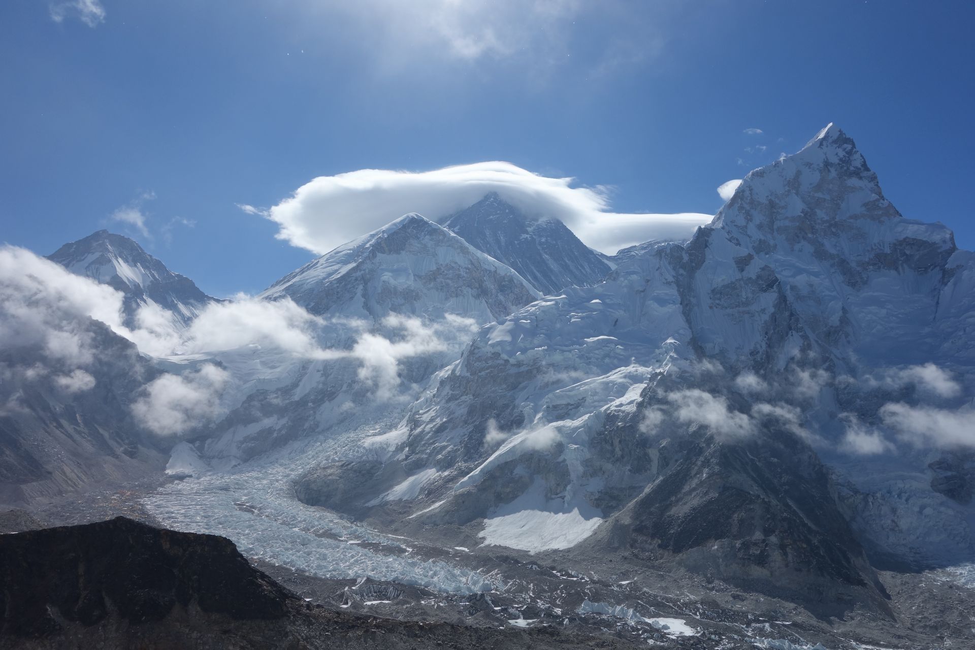
Village
शिवालय
1,800 m
Shivalaya is a riverside village on the Khimti Khola, a day’s walk east of Jiri on the classic route to Everest. Many trekkers now start here by jeep to skip the first stage. From here the trail climbs over Deurali to the Solu region, while the Numbur Cheese Circuit heads north into the hills.
Read place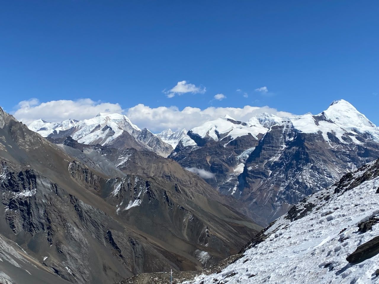
Conservation area
शिवपुरी नागार्जुन राष्ट्रिय निकुञ्ज
1,000 m
Shivapuri Nagarjun National Park protects the forested hills north of Kathmandu and is the city’s main water source. It was declared a national park in 2002. The Helambu trek starts by crossing it from Sundarijal to Chisapani.
Read place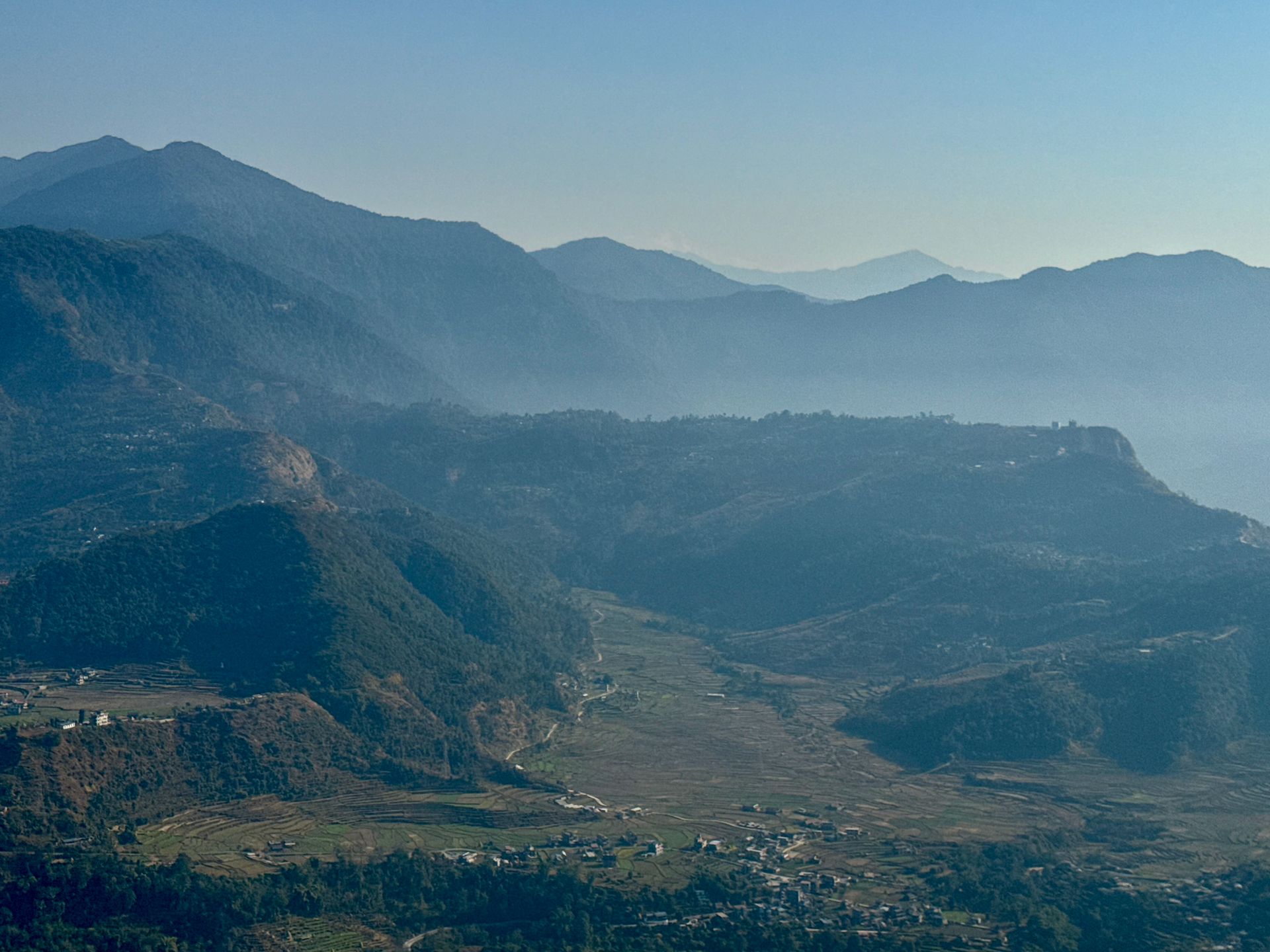
Village
श्री खर्क
4,060 m
Shree Kharka is a lodge settlement on the trail between Khangsar and Tilicho Base Camp. Beyond it the path crosses an unstable landslide slope. It is an alternative overnight stop to Tilicho Base Camp.
Read place

