Village
सिक्लेस
1,980 m
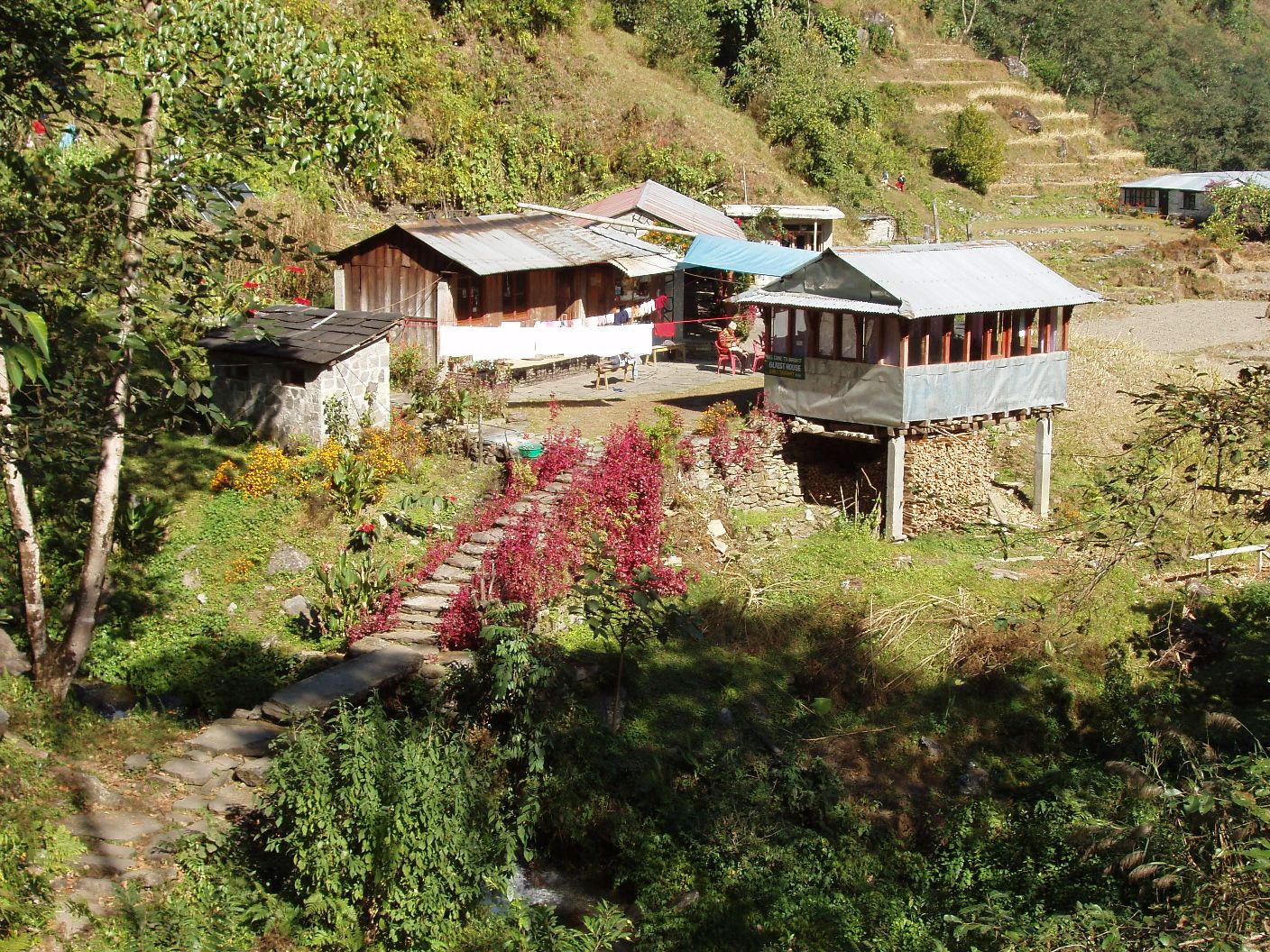
Sikles is one of the largest Gurung villages in the Annapurna region, east of Pokhara on the Madi Khola. It is a cultural highlight with community homestays and views of Annapurna II and Lamjung Himal. It is the base for the Kapuche Lake trek.
Read place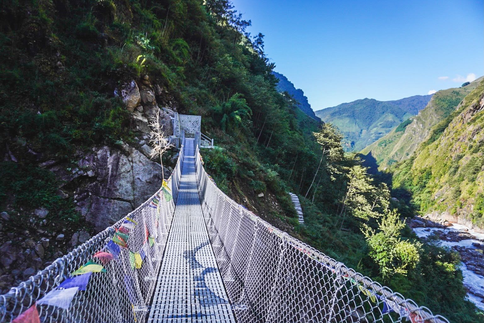
River
2,000 m
The Simbua Khola is the main river of the southern Kanchenjunga region, fed by the Yalung Glacier and flowing south-west to join the Tamor. The trail to Kanchenjunga South Base Camp follows it through dense forest past Tortong and Tseram.
Read place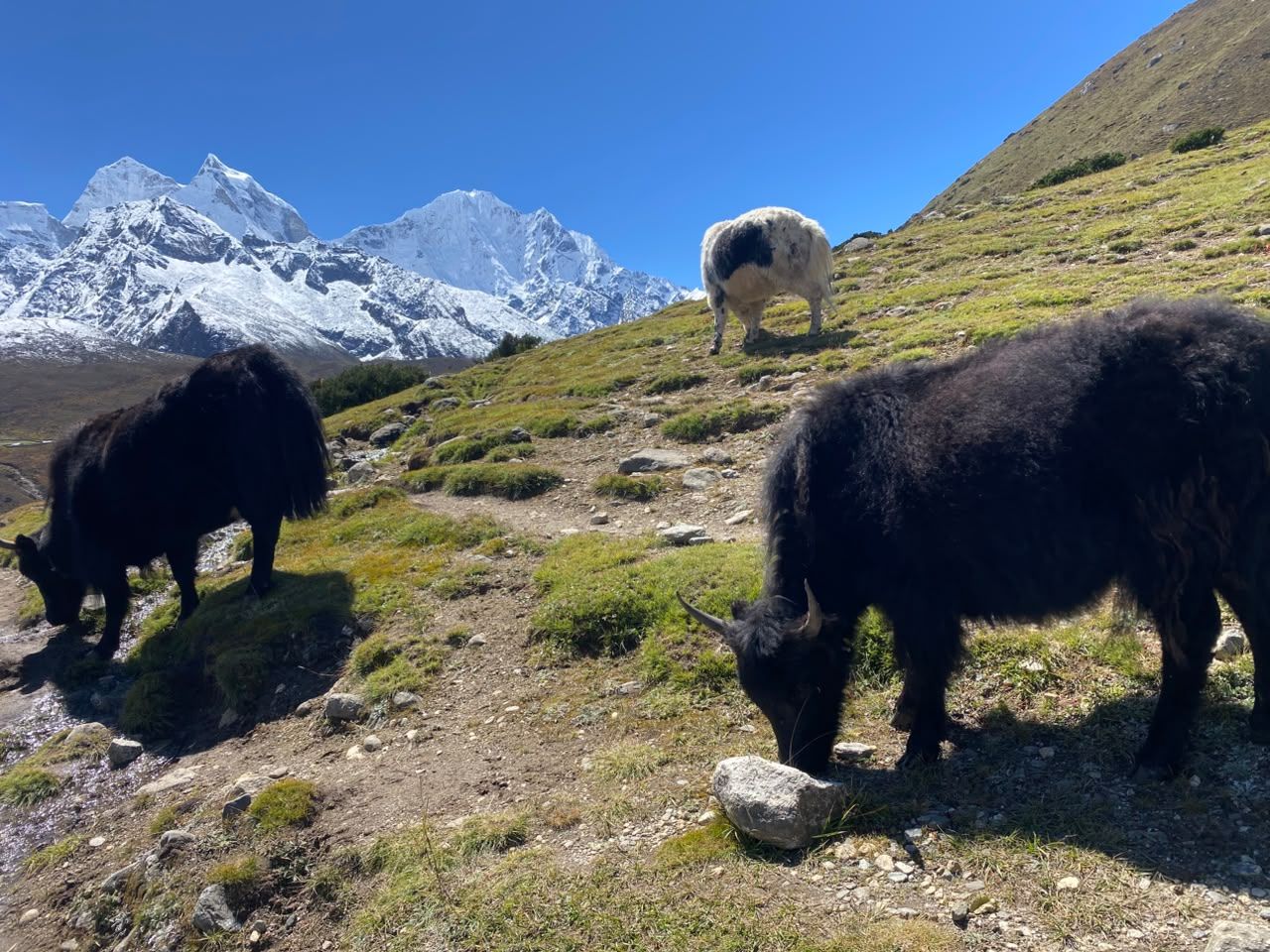
Village
सिमीगाउँ
2,000 m
Simigaun is a Sherpa and Tamang village perched above the Tamakoshi river at the entrance to the Rolwaling valley. It has a small gompa and wide views of Gaurishankar. Trekkers climb here from the road-head at Gongar or Chhetchhet on the first day of the Rolwaling trek.
Read place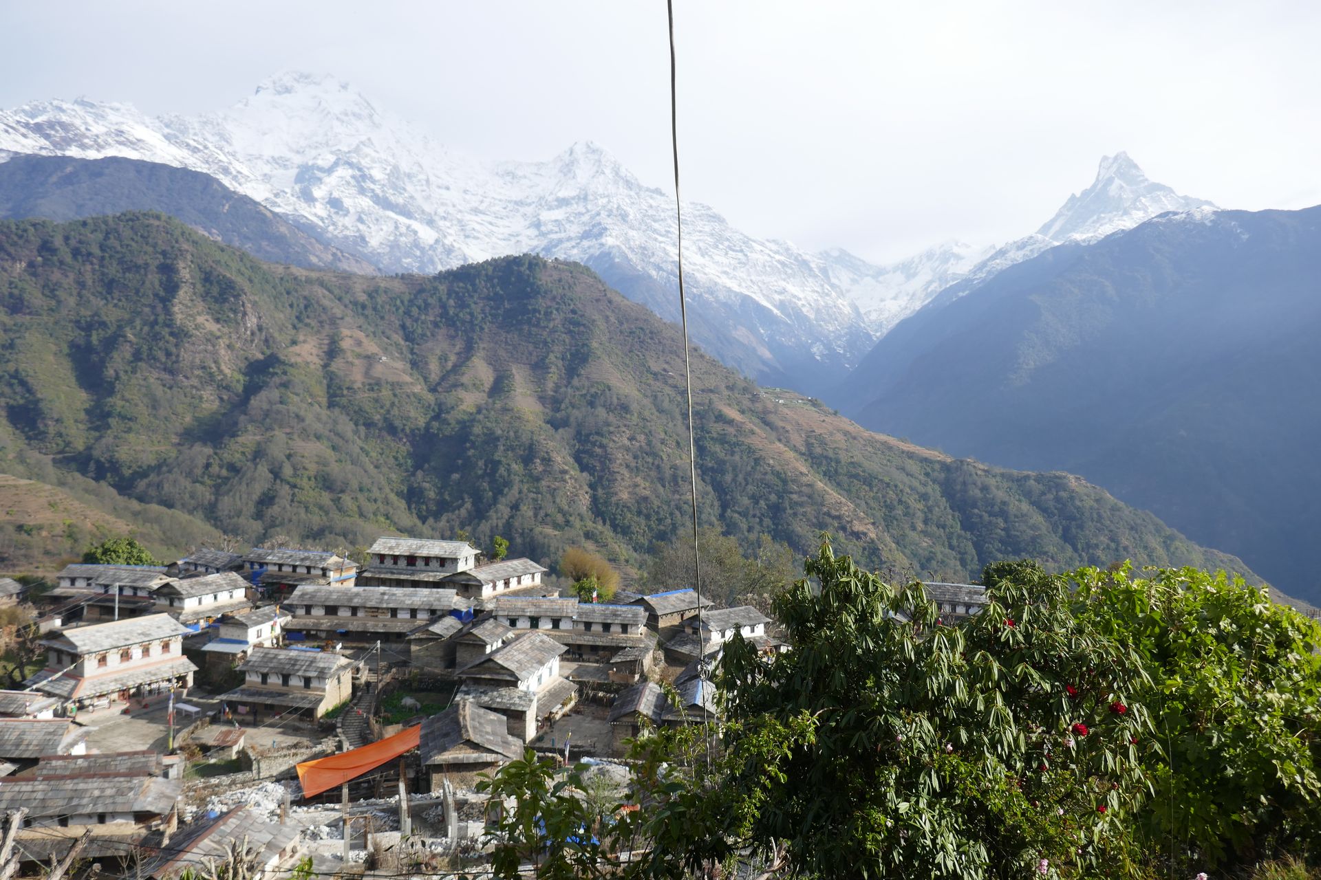
Town / city
सिमिकोट
2,950 m
Simikot is the district headquarters of Humla, a remote town reached only by air from Nepalgunj or Surkhet. It is the gateway for Limi Valley treks and the overland route to Mount Kailash in Tibet. The airstrip sits on a ridge above the Karnali river.
Read place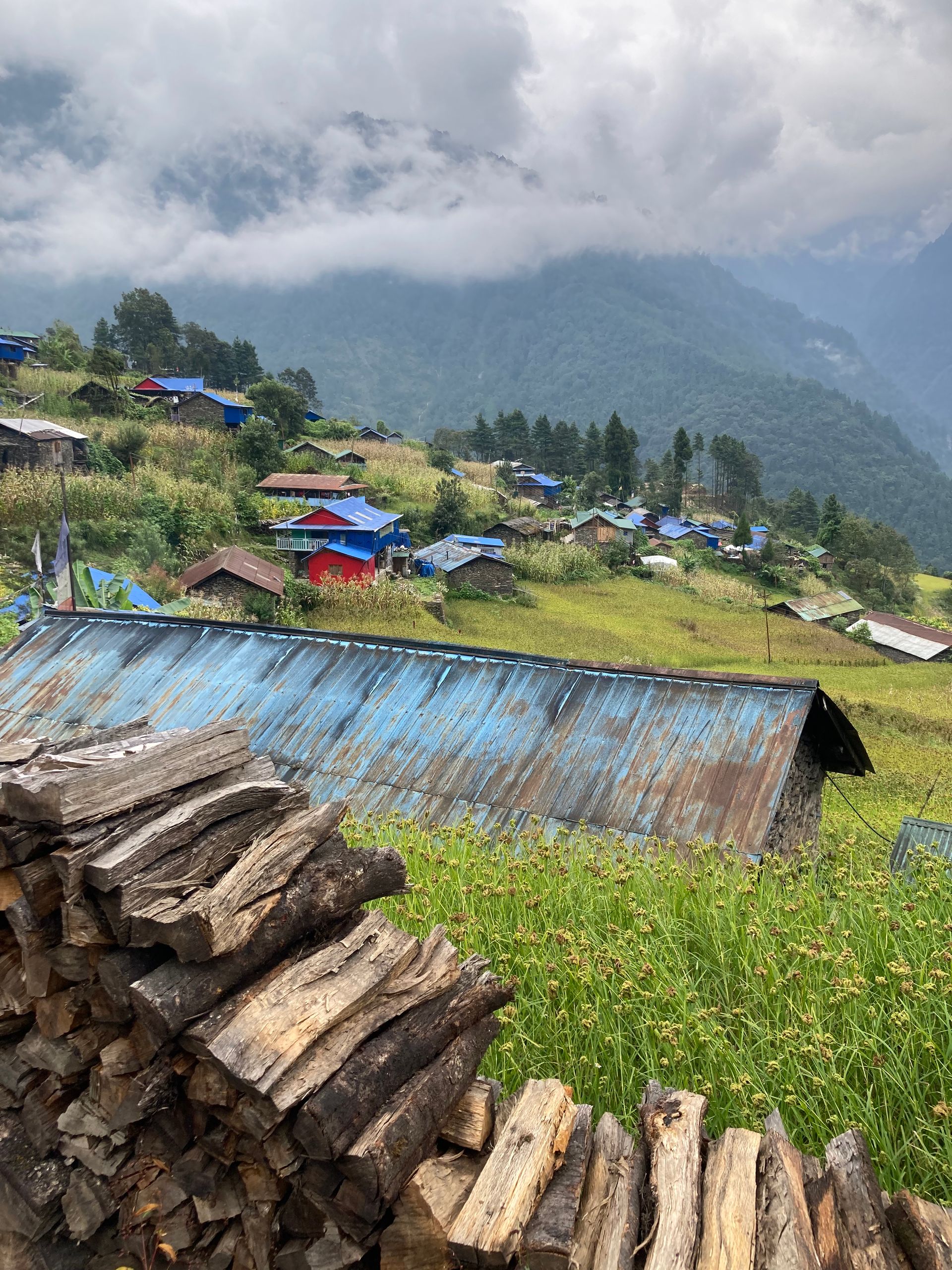
Airstrip / airport
सिमिकोट विमानस्थल
2,950 m
Simikot Airport is the airstrip serving Humla, a district without road connections to the rest of Nepal. Flights come from Nepalgunj and Surkhet. It is the gateway to the Limi Valley and to Mount Kailash.
Read place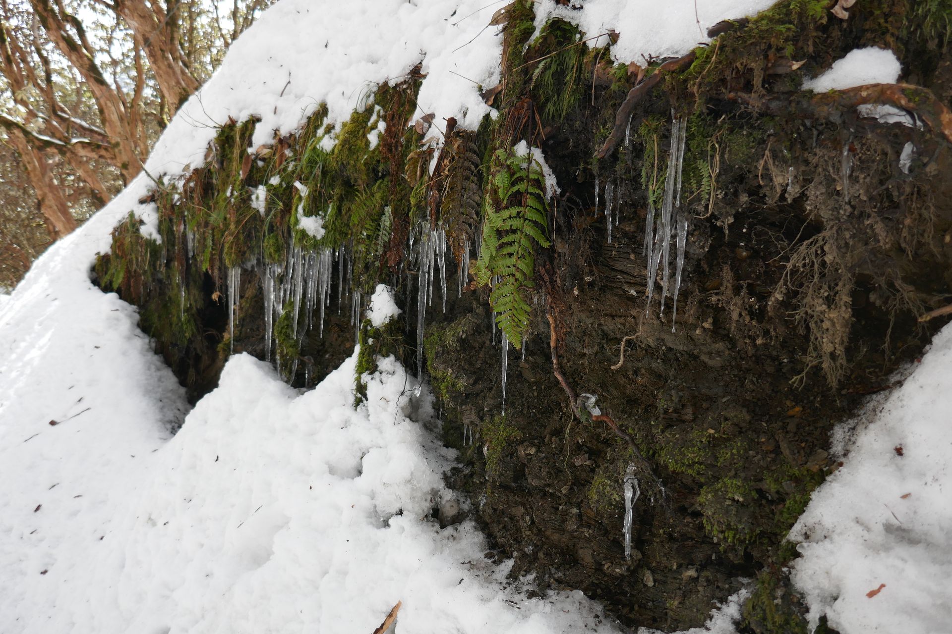
Village
सिङ गुम्बा (चन्दनबारी)
3,330 m
Sing Gompa, also called Chandanbari, is a settlement around a small monastery and cheese factory on the way to Gosaikunda. It sits in a forest of fir and rhododendron. It is the usual overnight before climbing to Lauribina and the lakes.
Read place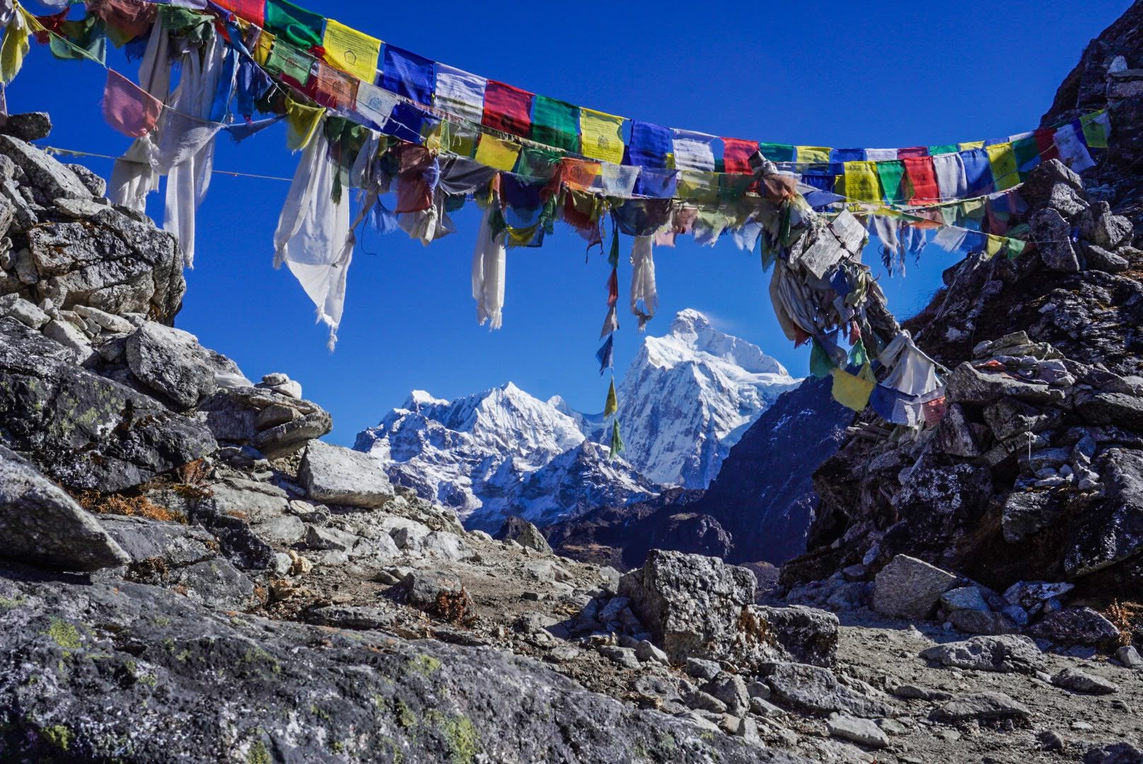
Pass
Sinion La is one of the high crossings between Ghunsa and Tseram on the Kanchenjunga Circuit, crossed on the same long day as Sele La and Mirgin La.
Read placeVillage
सिनुवा
2,360 m
Sinuwa is a village of lodges on the trail from Chhomrong to the Annapurna Sanctuary. It is a common overnight stop on the Annapurna Base Camp trek. Above it the trail enters dense bamboo forest.
Read place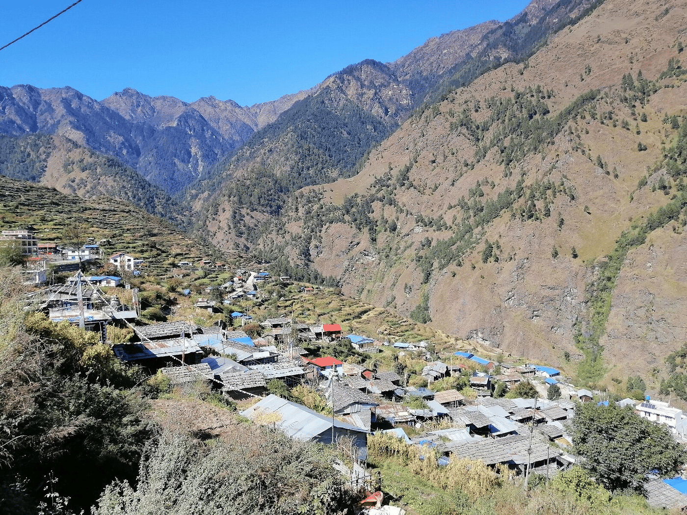
Village
सोम्दाङ
3,270 m
Somdang is a former mining camp in the upper Ruby Valley, beneath the Ganesh Himal. It is a stop before or after crossing the Pangsang La. The area is wild, with few visitors.
Read place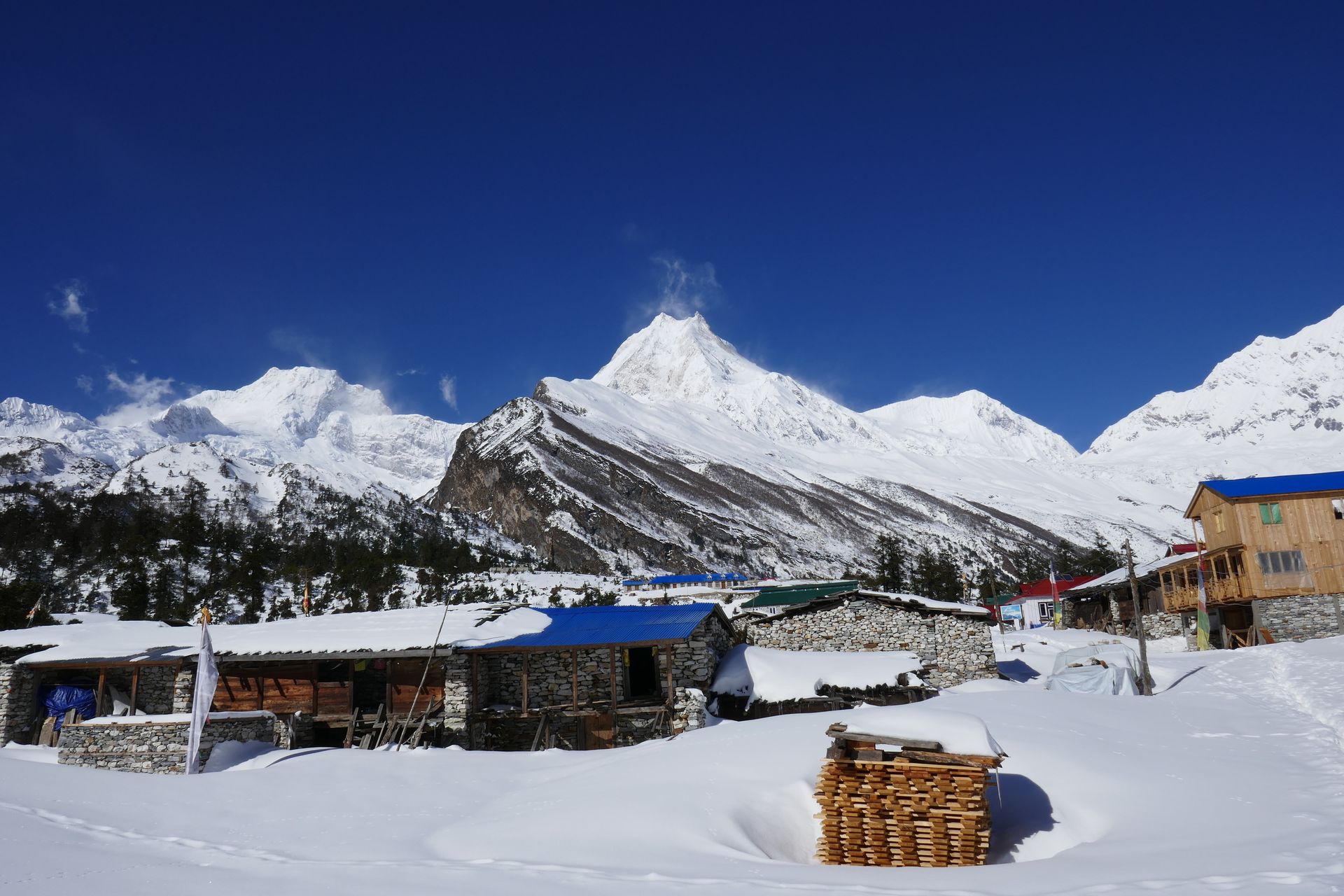
Village
सोती खोला
730 m
Soti Khola is a small village at the end of the road on the Budhi Gandaki, the usual first overnight of the Manaslu Circuit. The trail beyond follows the river through a deep gorge. The area is low and warm, with sal forest and waterfalls.
Read place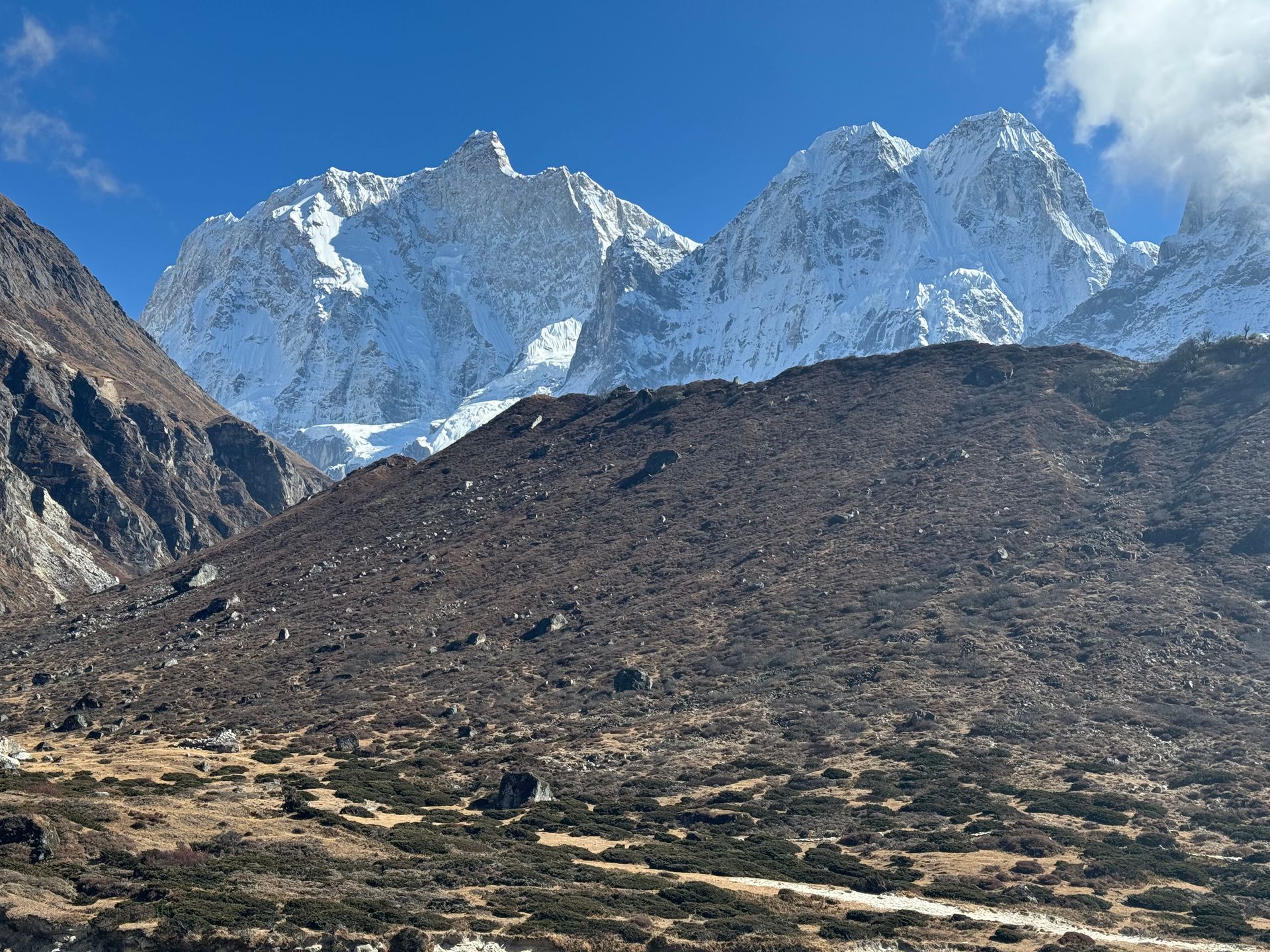
Airstrip / airport
सुकेटार विमानस्थल
2,420 m
Suketar Airport is the small airstrip serving Taplejung, the gateway to the Kanchenjunga region. Flights from Biratnagar or Bhadrapur are irregular, so most trekkers now drive in. Pathibhara Temple is a day’s climb away.
Read place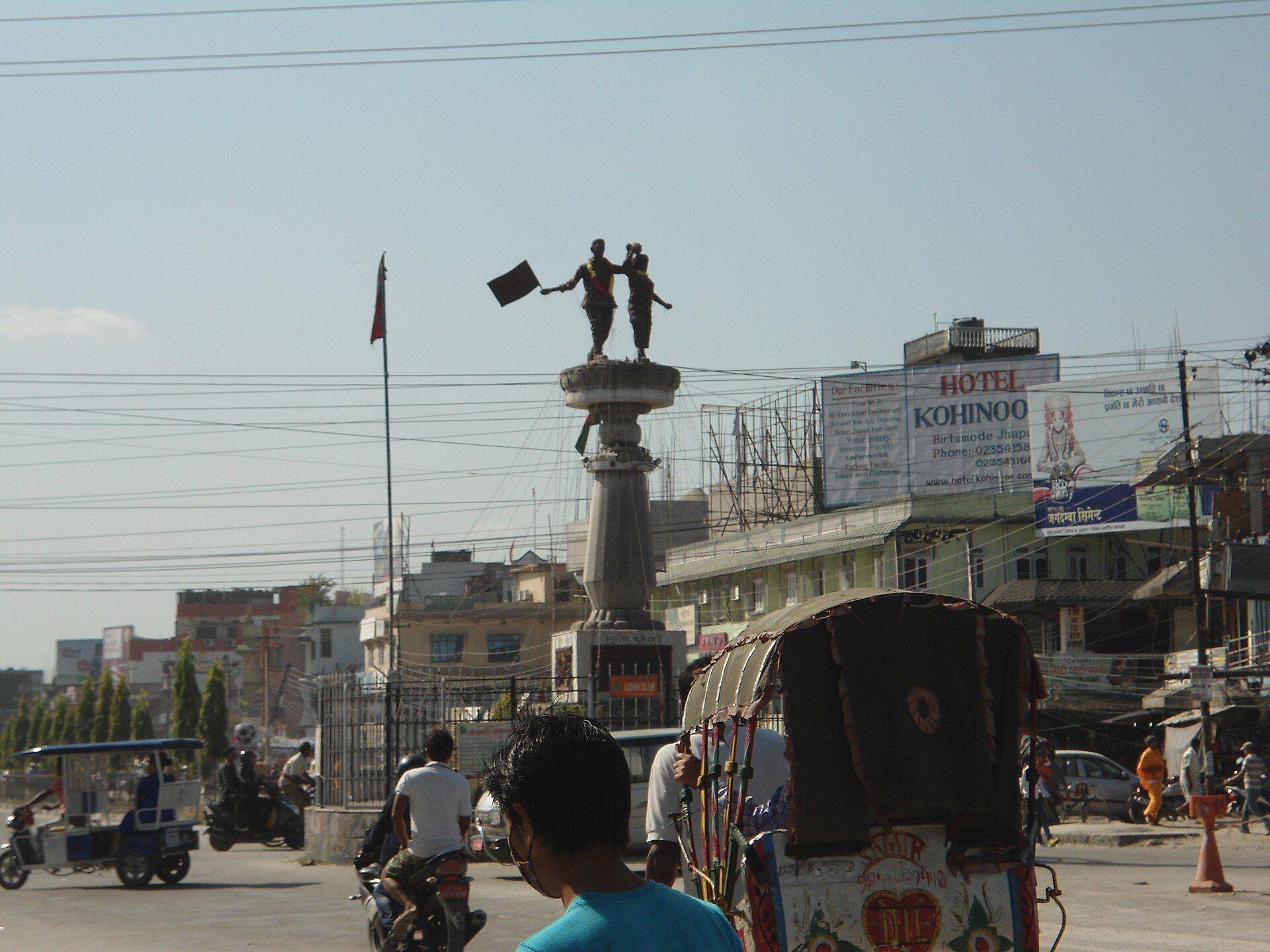
Village
सुन्दरीजल
1,460 m
Sundarijal is on the northern edge of the Kathmandu Valley, where the Helambu trek begins. A stairway climbs past a waterfall and reservoir into Shivapuri Nagarjun National Park. It is about 45 minutes by road from central Kathmandu.
Read place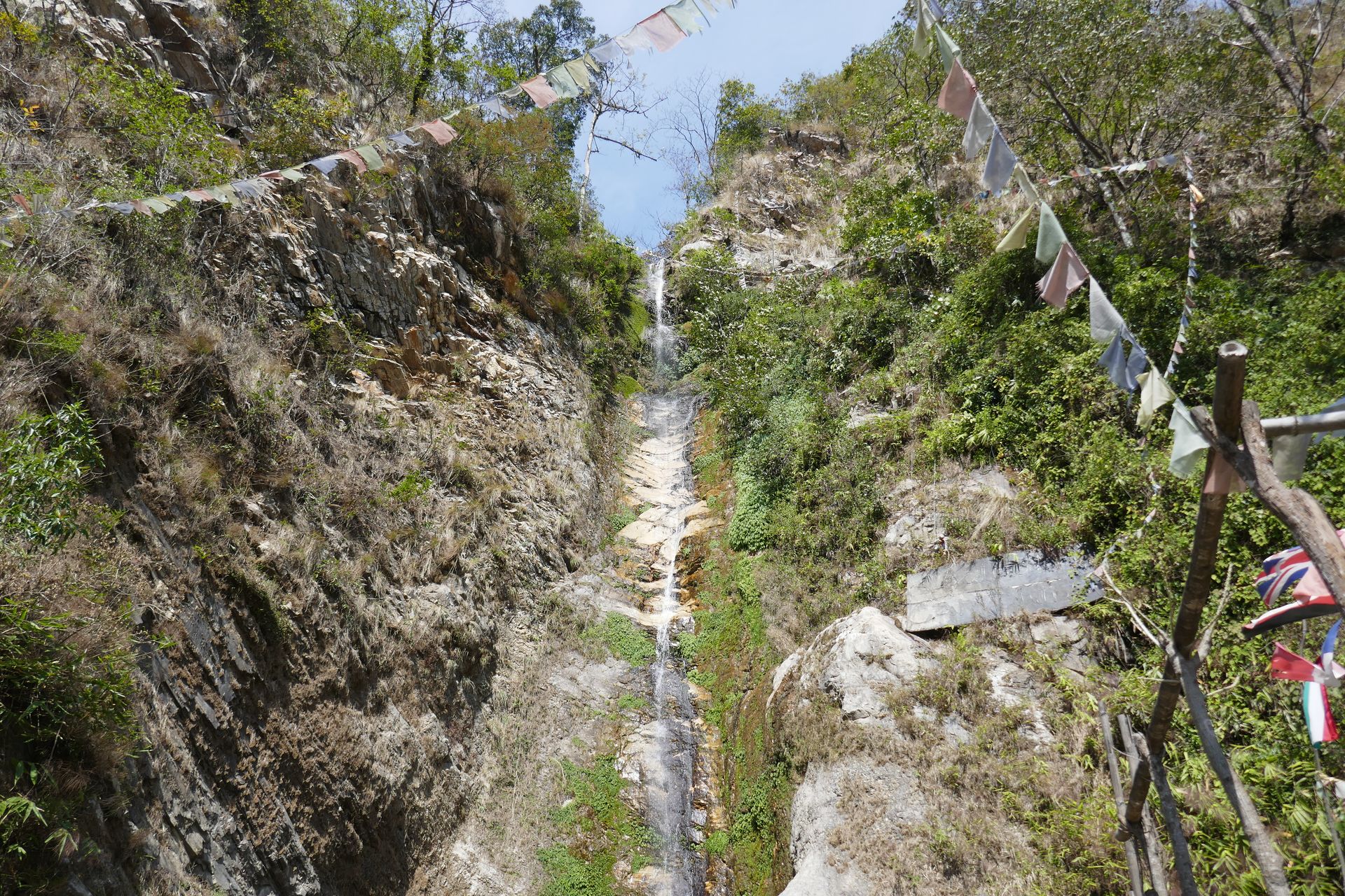
Waterfall
सुन्दरीजल झरना
1,500 m
Sundarijal Waterfall is a series of cascades on the Bagmati headwaters just above Sundarijal, at the start of the Helambu trek. Stone steps lead past it into the forest. It is a popular short outing from Kathmandu.
Read place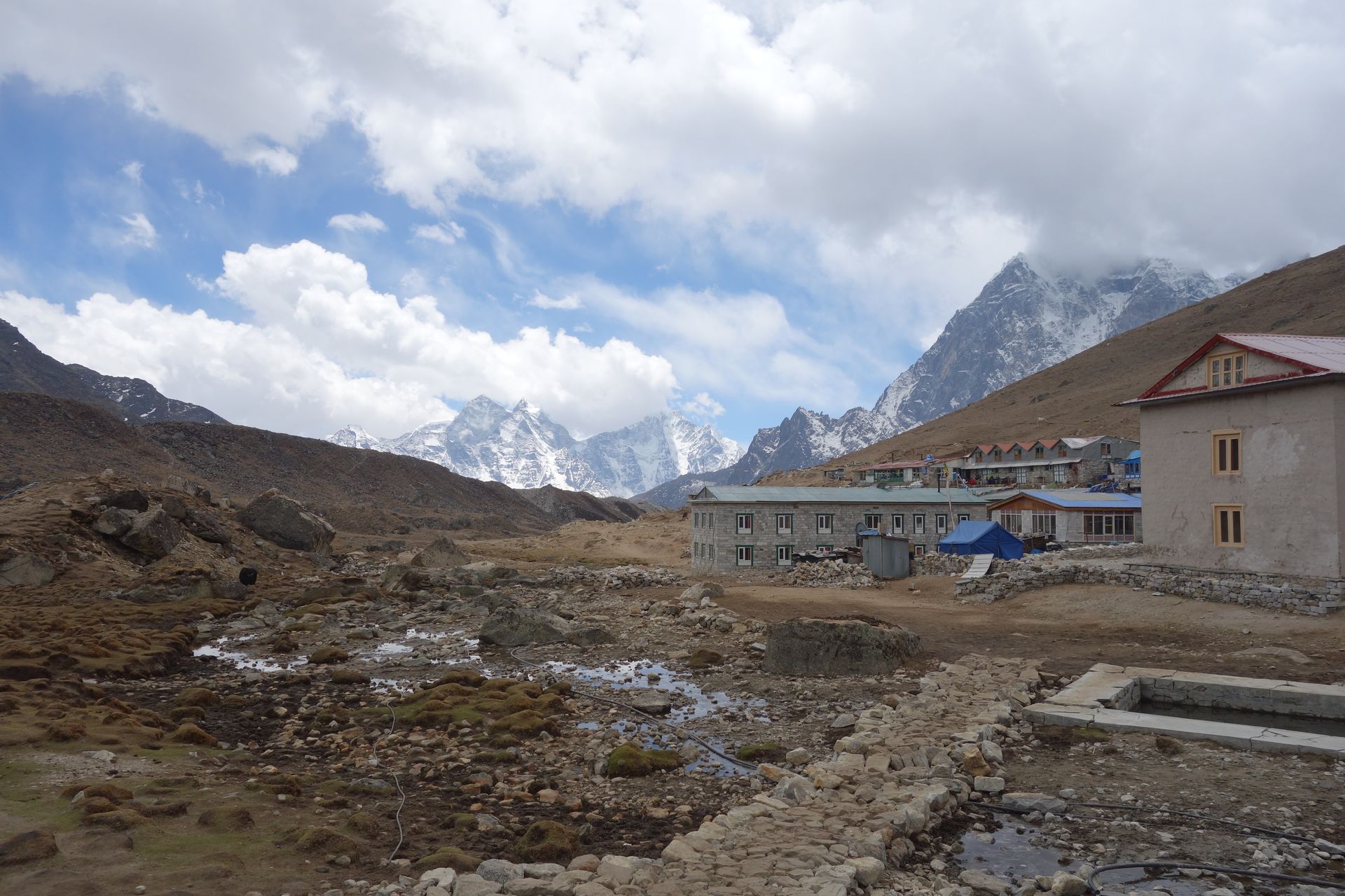
Village
सुर्के
2,290 m
Surke is a small village below Lukla on the walking route from Jiri and Salleri. Trekkers on the classic route climb from here to Lukla or Chaurikharka. It sees far fewer trekkers than the main trail.
Read place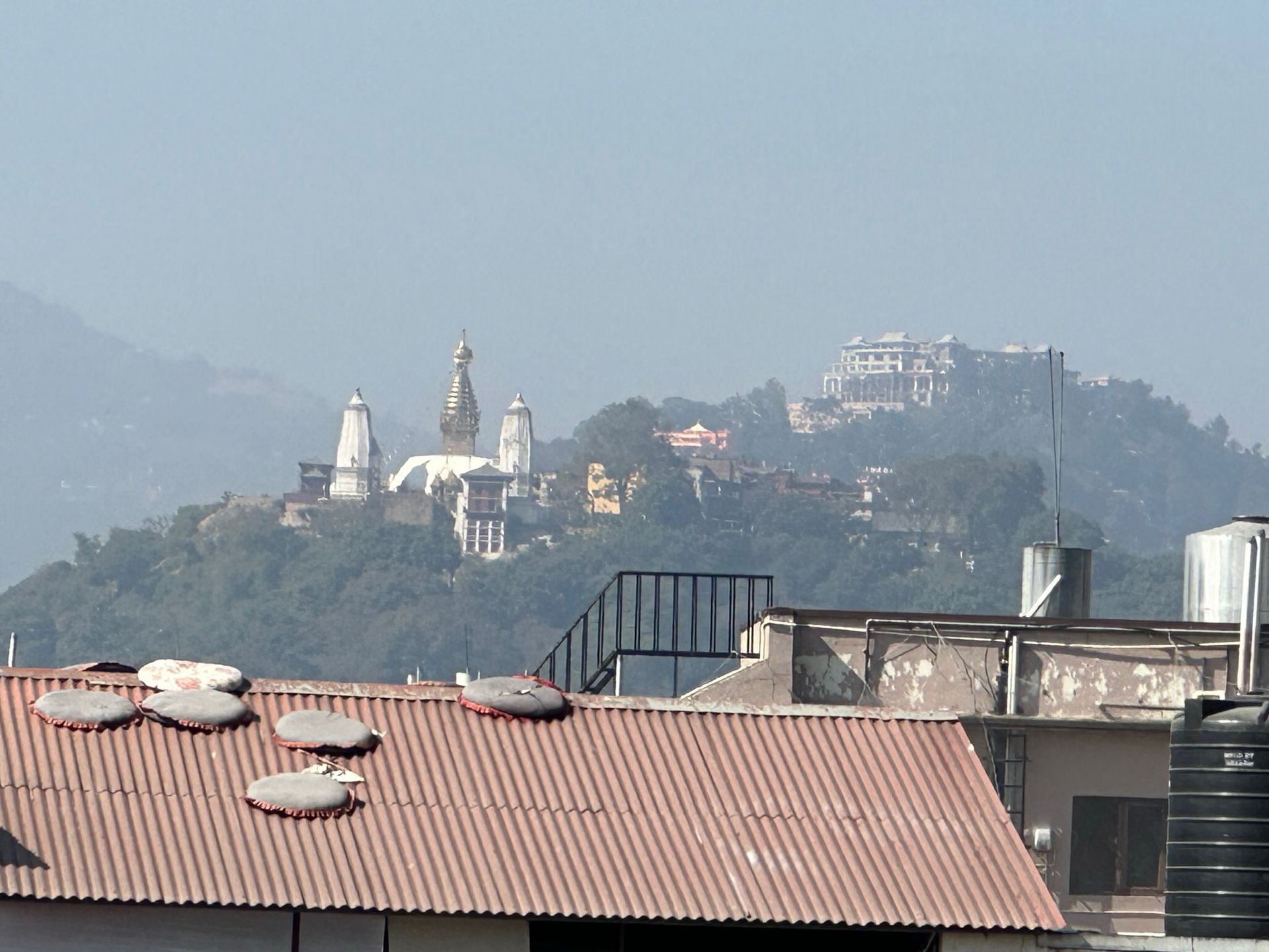
Religious site
स्वयम्भूनाथ
1,400 m
Swayambhunath is an ancient Buddhist stupa on a hilltop west of Kathmandu, nicknamed the Monkey Temple. It is a UNESCO World Heritage Site and offers a view over the whole city. Many trekkers visit before or after their trek.
Read place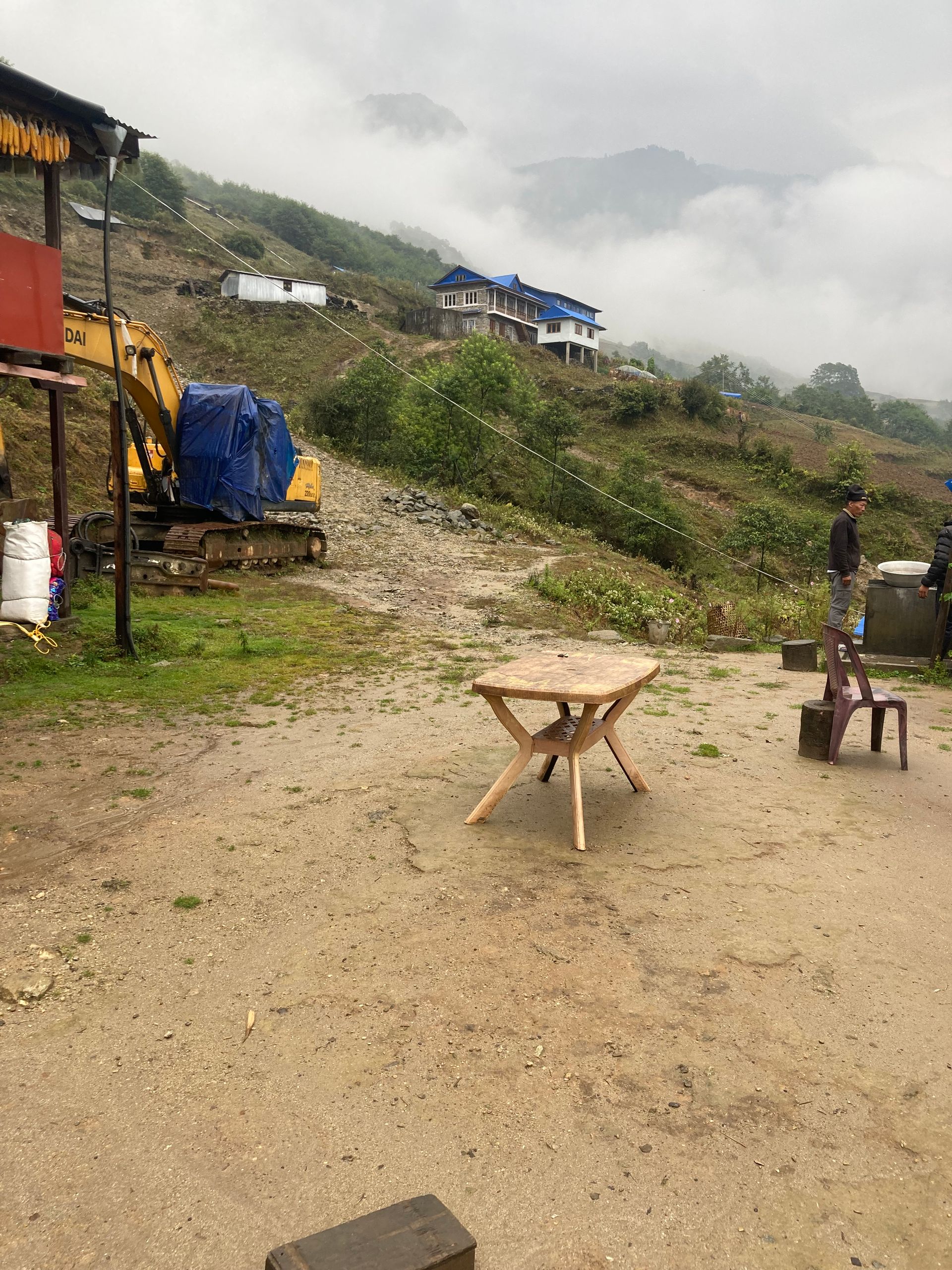
Town / city
स्याब्रुबेसी
1,460 m
Syabrubesi is a riverside town on the Bhote Koshi and the main trailhead for the Langtang Valley, reached in about seven hours by road from Kathmandu. It has lodges, shops and a hot spring nearby. Both the Langtang Valley and Tamang Heritage Trail treks start here.
Read place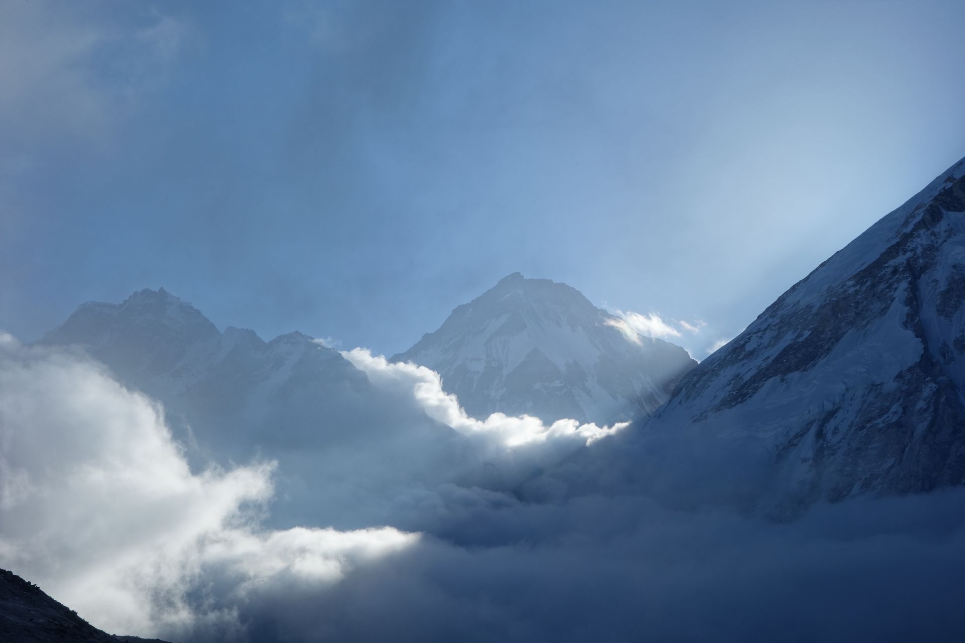
Airstrip / airport
स्याङबोचे
3,720 m
Syangboche is a high plateau above Namche Bazaar with a small airstrip used mainly by helicopters and cargo flights. It is the classic acclimatisation hike from Namche.
Read place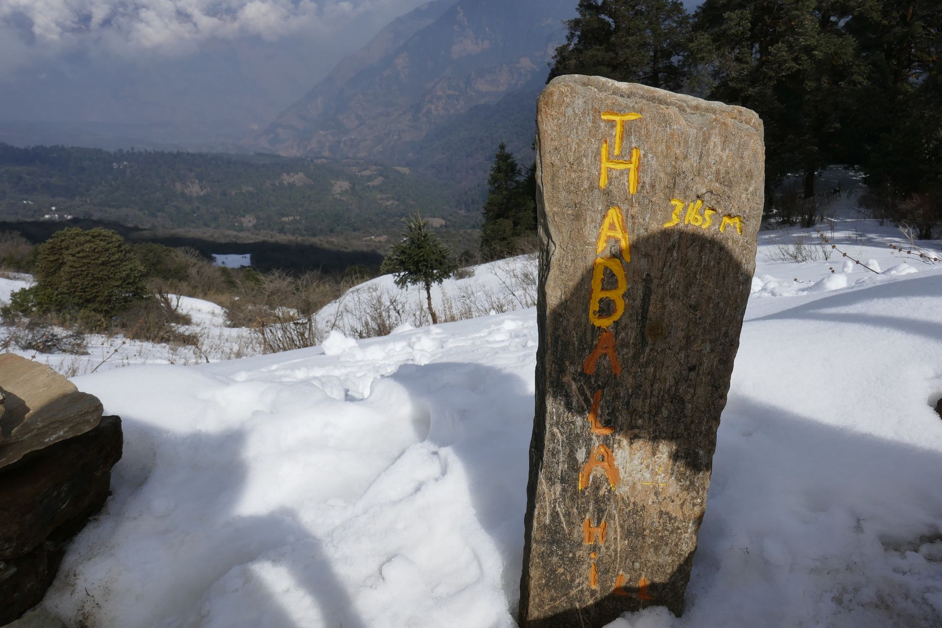
Village
ताडापानी
2,630 m
Tadapani is a small lodge settlement in rhododendron forest between Ghorepani and Ghandruk. It is a junction for the trails to Poon Hill, Ghandruk and Chhomrong. Its lodges face Annapurna South and Machhapuchhre, beautiful at sunrise.
Read place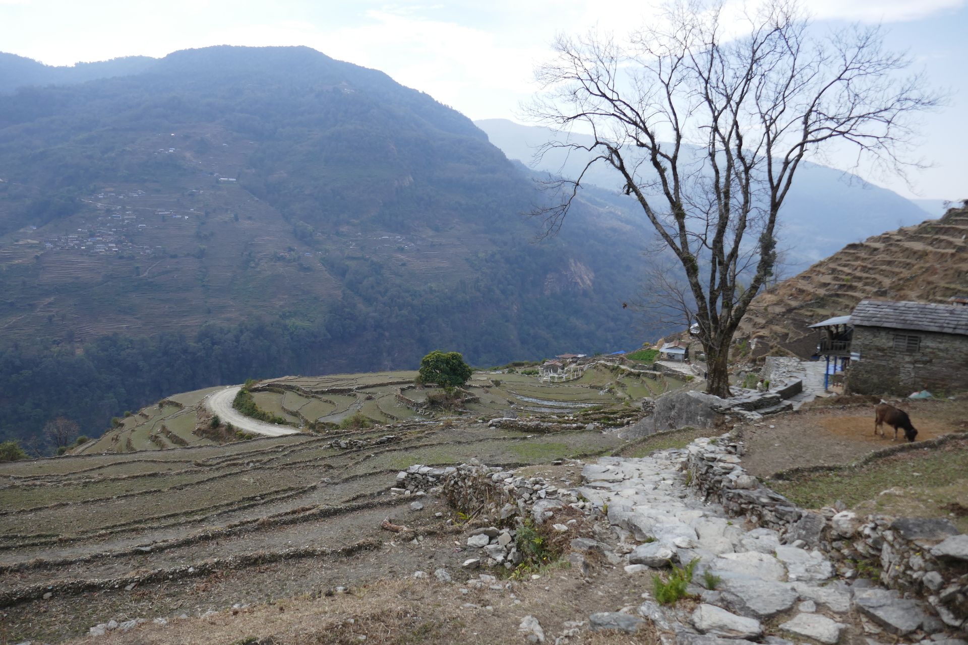
Airstrip / airport
तल्चा विमानस्थल
2,700 m
Talcha Airport is a small airstrip near Gamgadhi, with flights from Nepalgunj. It is the nearest airport to Rara Lake. It makes a short Rara trek possible.
Read place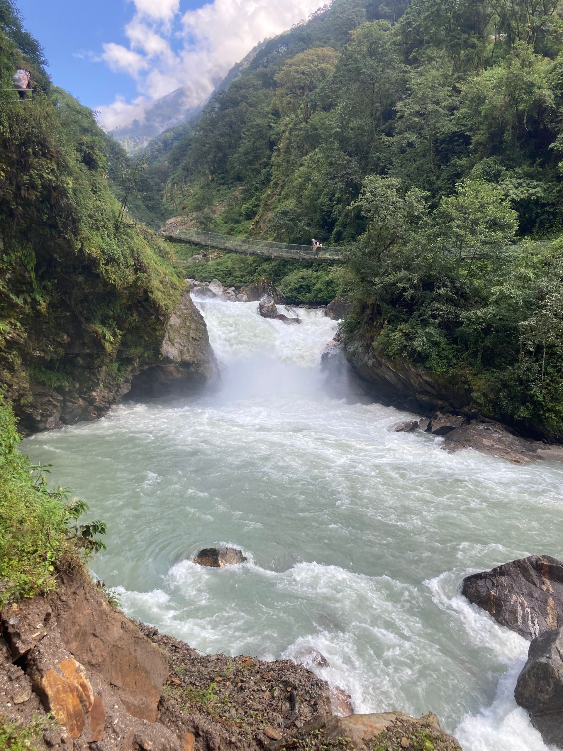
River
300 m
The Tamor River rises from the glaciers of the Kanchenjunga massif and flows south through Taplejung to join the Arun and Sun Koshi at Tribeni, forming the Sapta Koshi. It is the main river of eastern Nepal’s mountains.
Read place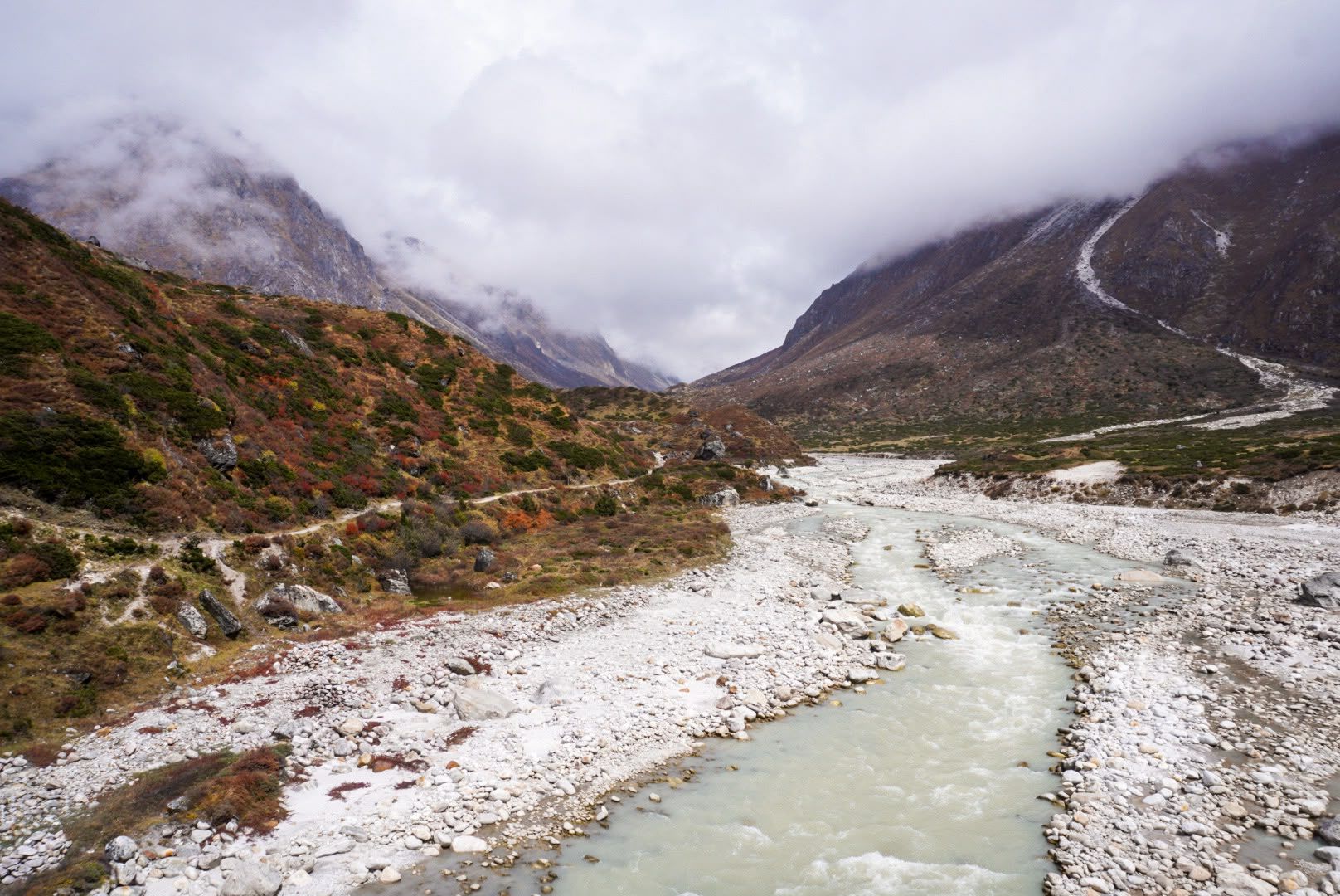
Valley
600 m
The Tamor Valley is the main valley of Taplejung district, carved by the Tamor River as it flows south from the Kanchenjunga glaciers. Its lower slopes are terraced with rice, millet and cardamom.
Read place
Town / city
At Kanchenjunga Guides Nepal, we believe the journey through Taplejung and its surrounding villages is an important part of the Kanchenjunga experience.
Read place
Valley
तराप उपत्यका
3,500 m
The Tarap valley is a high valley in Lower Dolpo with villages, gompas and fields of barley. It is home to traditional Dolpo culture. The Lower Dolpo trek passes through it.
Read place
Village
तार्केघ्याङ
2,600 m
Tarkeghyang is the largest Hyolmo village in Helambu, with closely packed houses and an old monastery. It is a cultural centre of the Hyolmo people. The Ganja La trek finishes here.
Read place

