Glacier
लाङटाङ हिमनदी
4,500 m
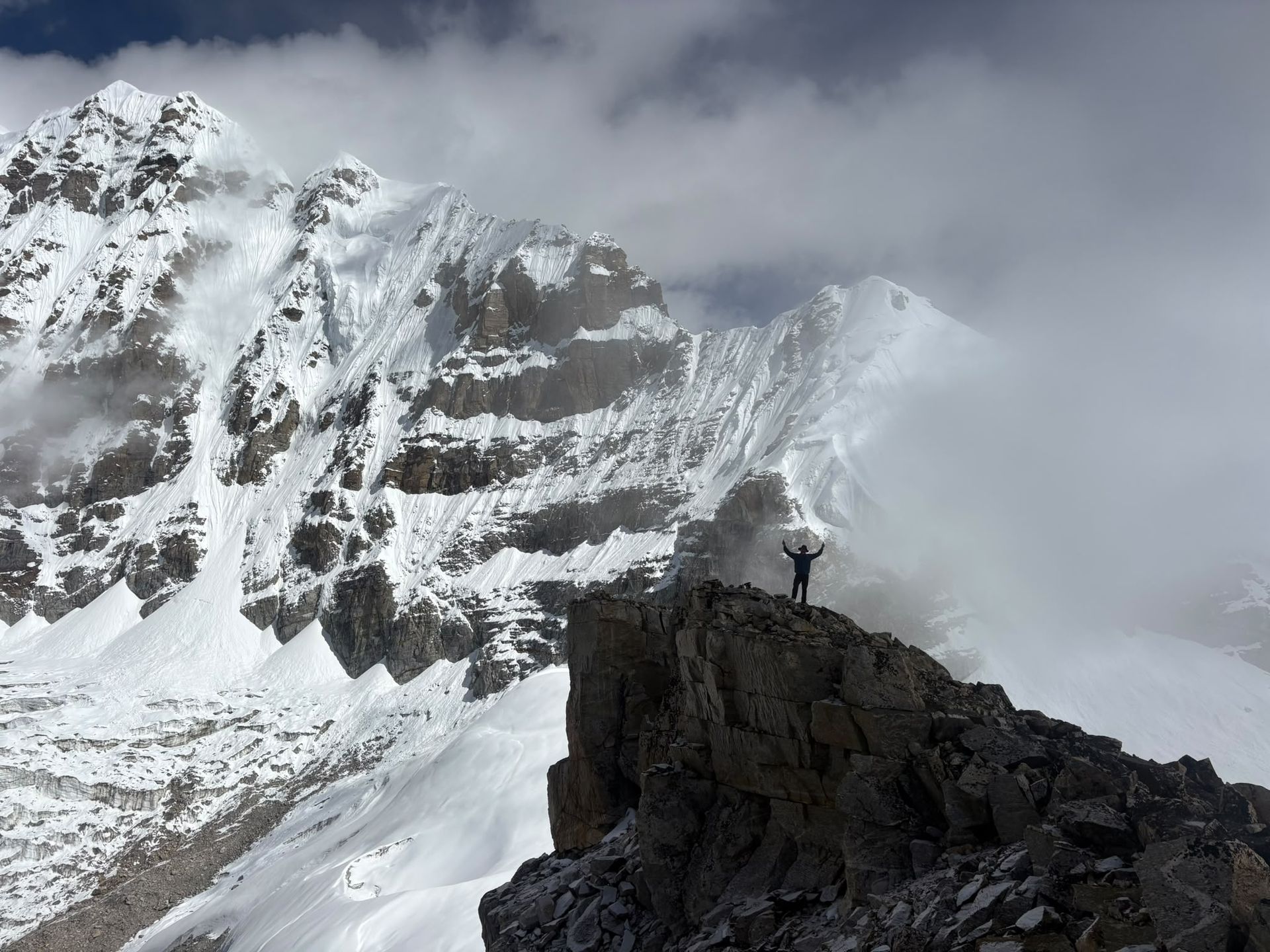
The Langtang Glacier is the longest glacier in the Langtang valley, extending north-east of Kyanjin Gompa. It feeds the Langtang Khola. Experienced trekkers can walk towards it on a long day trip from Kyanjin.
Read place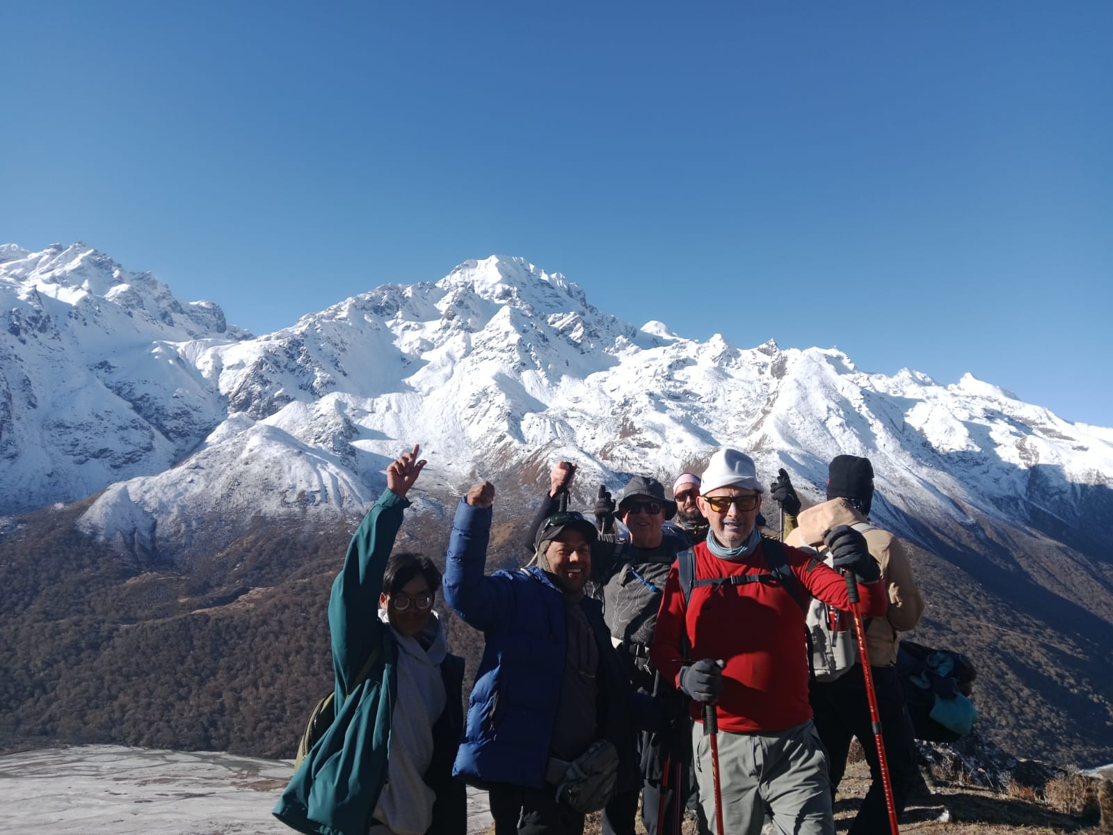
Mountain range
लाङटाङ हिमाल
7,234 m
The Langtang Himal is the range north of Kathmandu, topped by Langtang Lirung at 7,234 m. It forms the border with Tibet. The Langtang Valley trek runs along its southern side.
Read place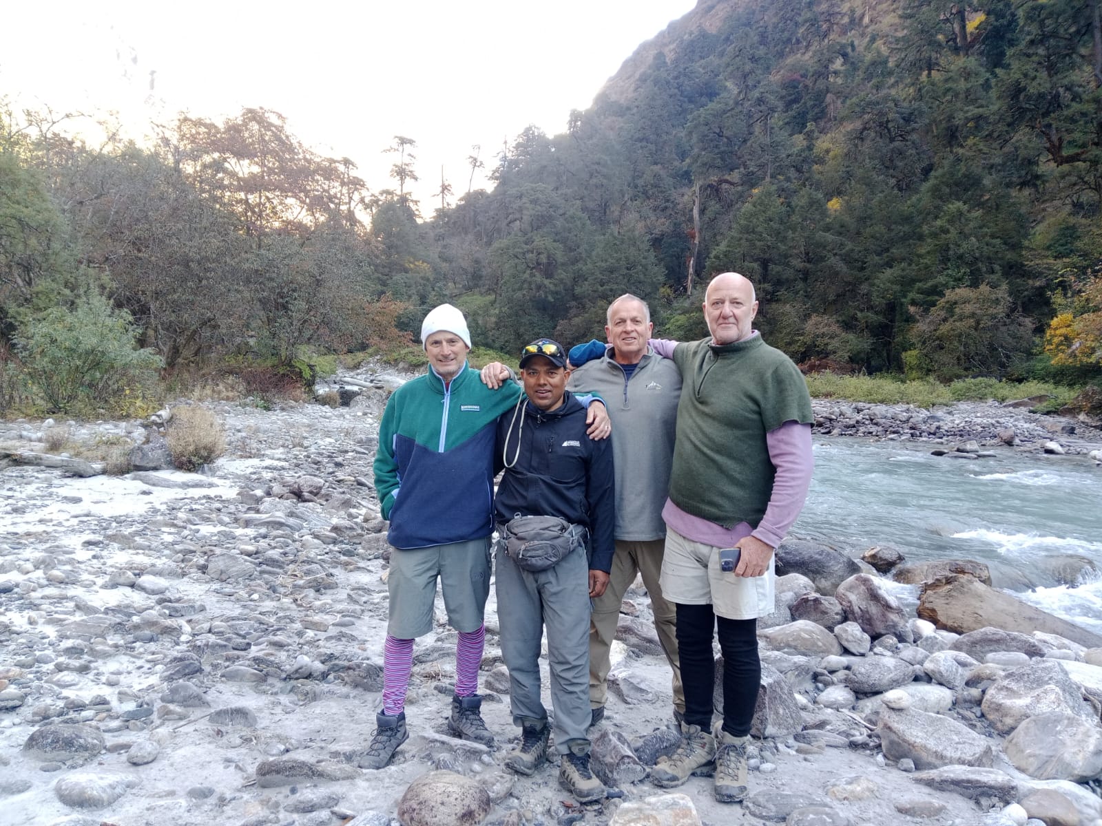
River
लाङटाङ खोला
1,460 m
The Langtang Khola flows from the Langtang Glacier down the valley to join the Bhote Koshi at Syabrubesi. The trek follows it all the way up the valley. The lower section runs through dense subtropical forest.
Read placeMountain peak
लाङटाङ लिरुङ
7,234 m
Langtang Lirung is the highest peak of the Langtang Himal at 7,234 m. Its icefall and glacier hang directly above the Langtang valley. It dominates the views from Langtang Village and Kyanjin Gompa.
Read place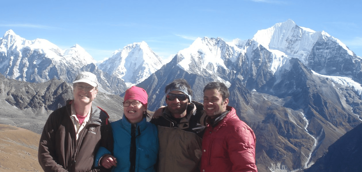
Conservation area
लाङटाङ राष्ट्रिय निकुञ्ज
792 m
Langtang National Park, established in 1976, was the first Himalayan national park in Nepal. It covers about 1,710 km² north of Kathmandu, including the Langtang valley, Gosaikunda lakes and upper Helambu. It is home to red panda, Himalayan black bear and musk deer, and requires a park entry permit.
Read place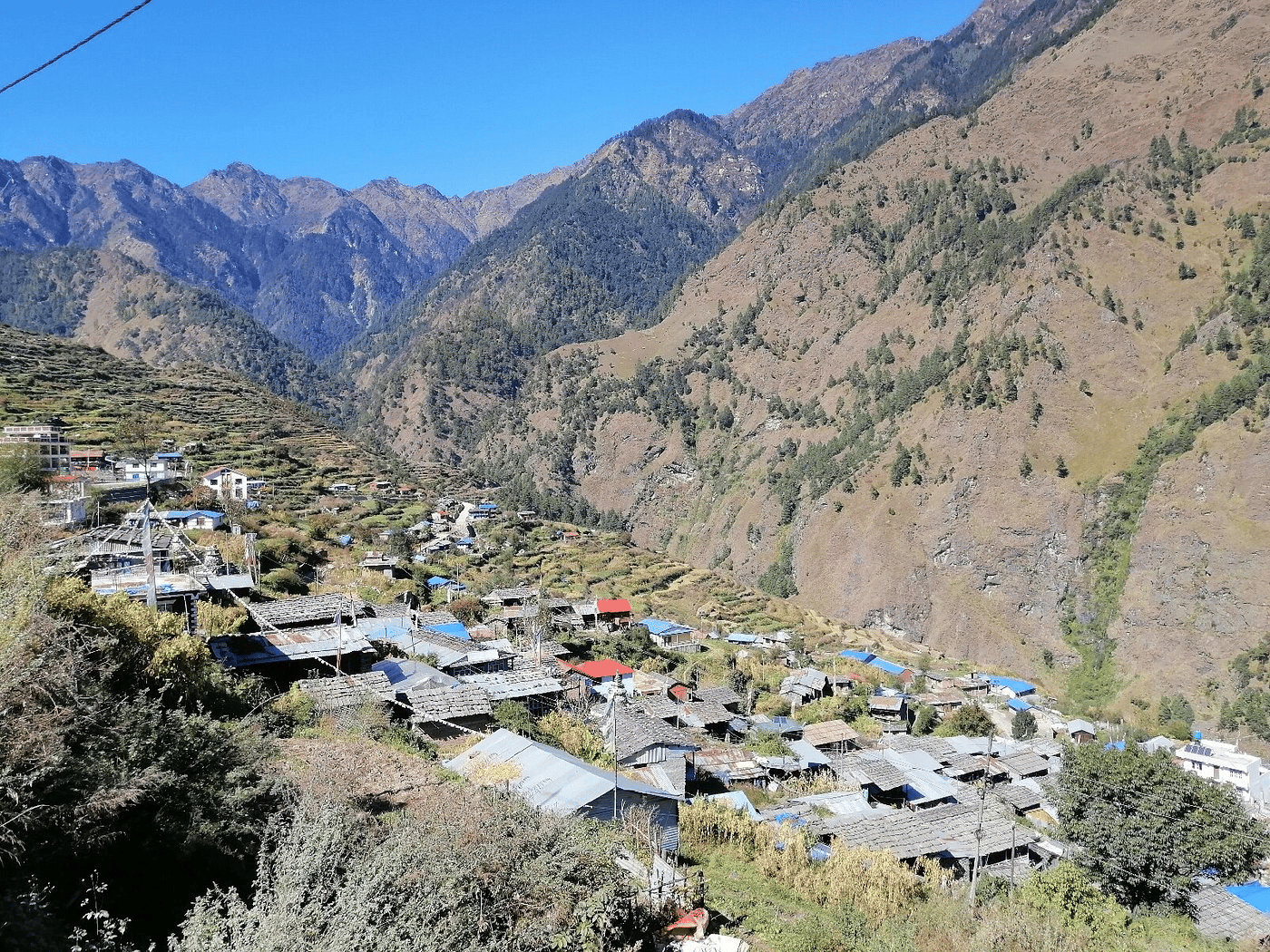
Village
लाङटाङ गाउँ
3,430 m
Langtang Village is the main Tamang village of the upper valley. It was buried by a huge avalanche in the 2015 earthquake, and has since been rebuilt nearby with new lodges and a memorial. The valley opens out here with views of Langtang Lirung.
Read place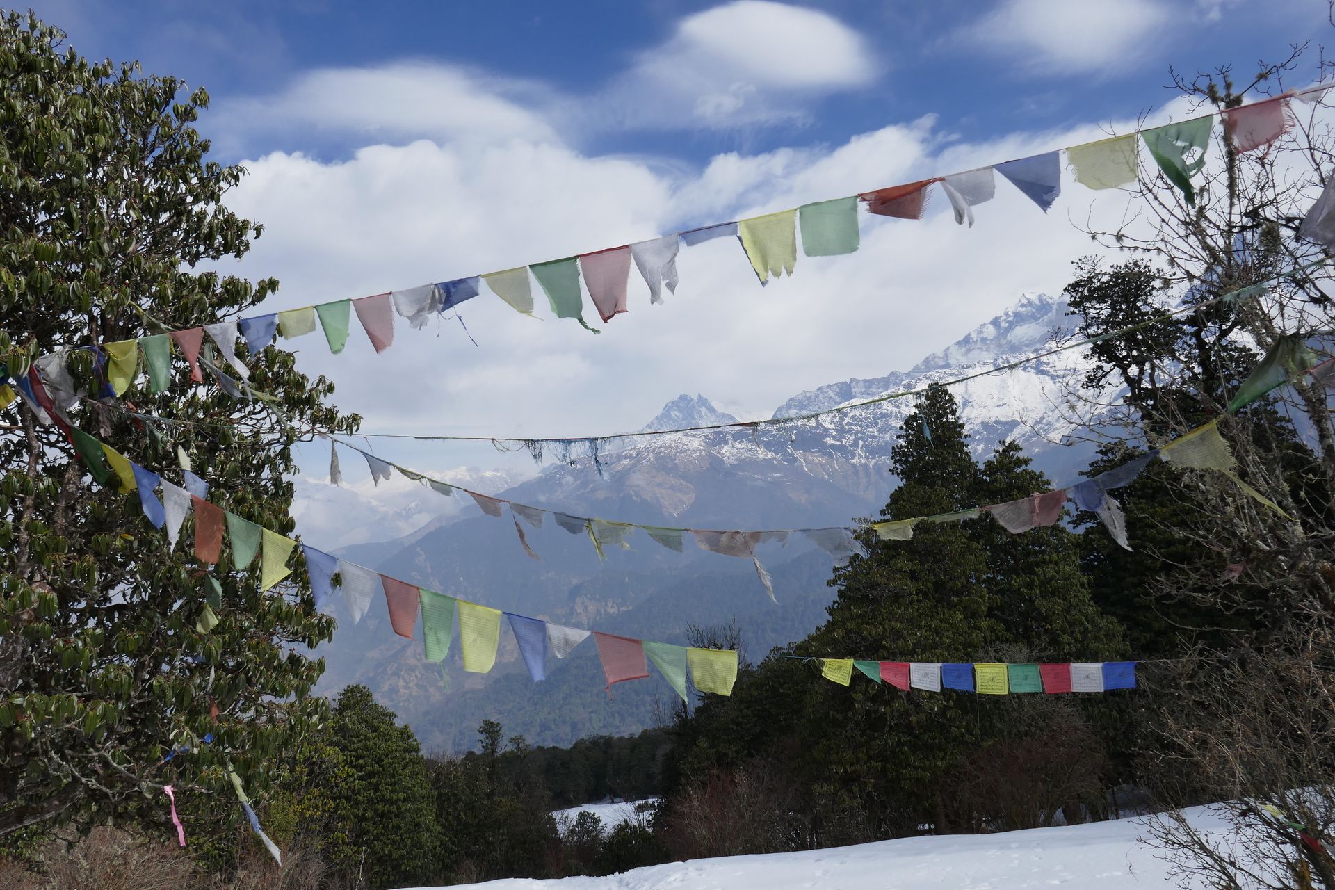
Pass
लाप्चा ला
5,000 m
Lapcha La is a high pass in western Humla, close to the Tibet border, from where pilgrims can view Mount Kailash. It is the goal of the Kailash Door Darshan trek. Exact routes vary; trekkers should confirm the current route with their guide.
Read place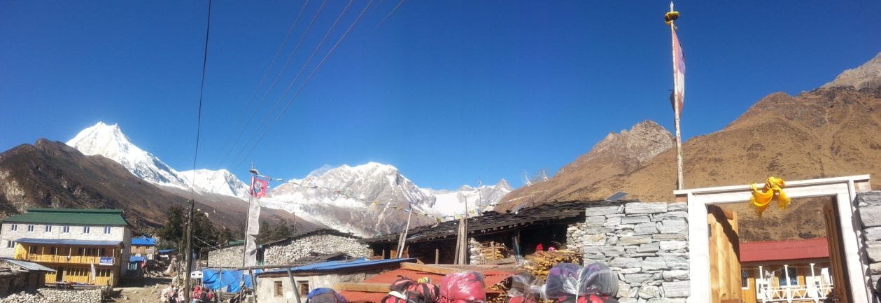
Village
लाप्राक
2,100 m
Laprak is a Gurung village near Barpak, on the alternative approach to the Manaslu Circuit. It was rebuilt on a new site after the 2015 earthquake. It has views of Manaslu, Himal Chuli and Ganesh Himal.
Read place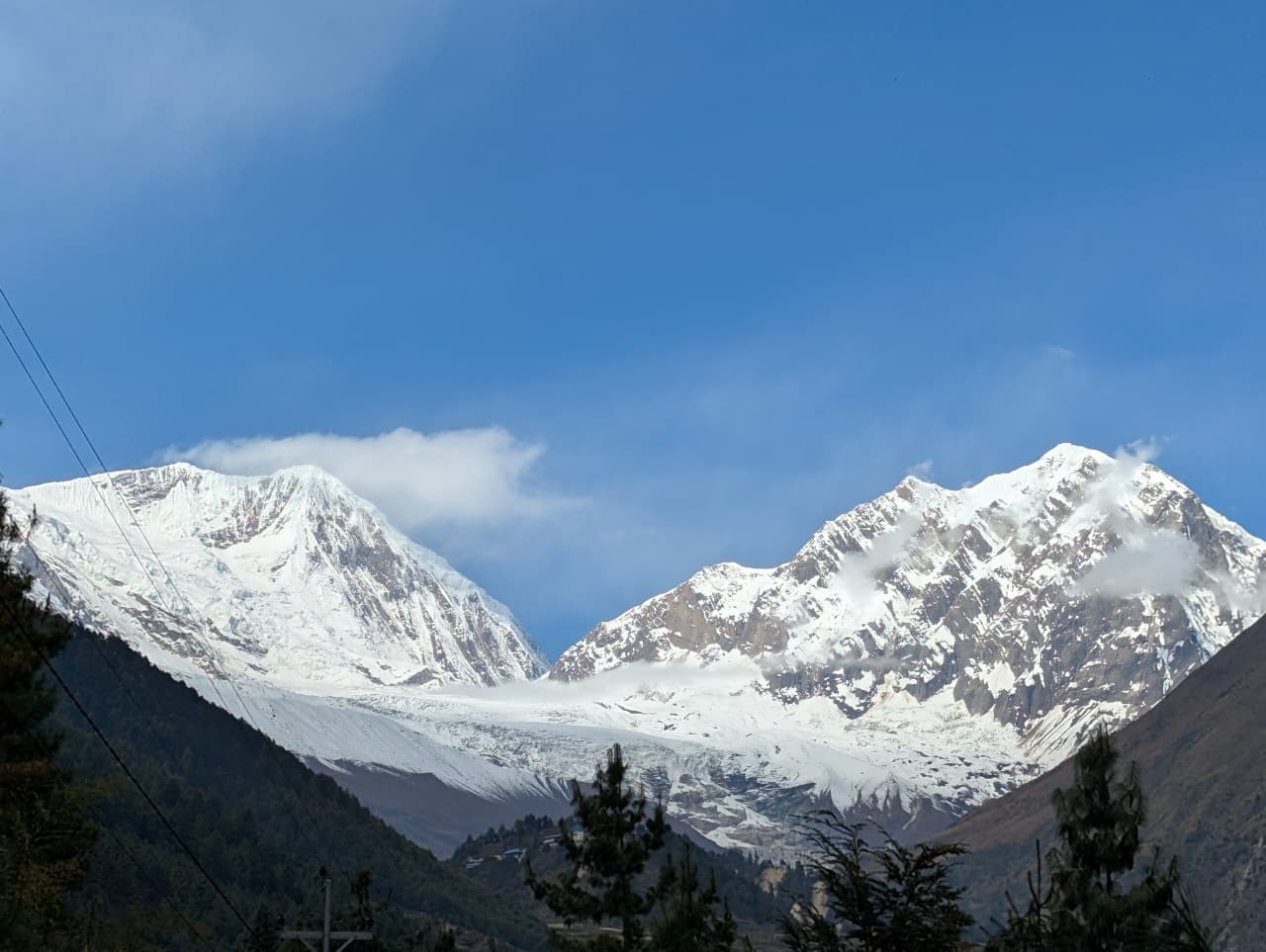
Pass
लार्क्य ला
5,106 m
Larkya La is the highest point of the Manaslu Circuit, linking the Budhi Gandaki valley with the Marsyangdi at Bimthang. The top looks out at Himlung, Cheo Himal, Kang Guru and Annapurna II. The long crossing and steep descent make it a demanding day.
Read place
Village
लौरीबिना
3,910 m
Lauribina is a small lodge stop on a ridge between Sing Gompa and Gosaikunda. On clear days it gives a wide view of Ganesh Himal, Langtang and the Annapurnas. Some trekkers overnight here to break up the climb to the lakes.
Read place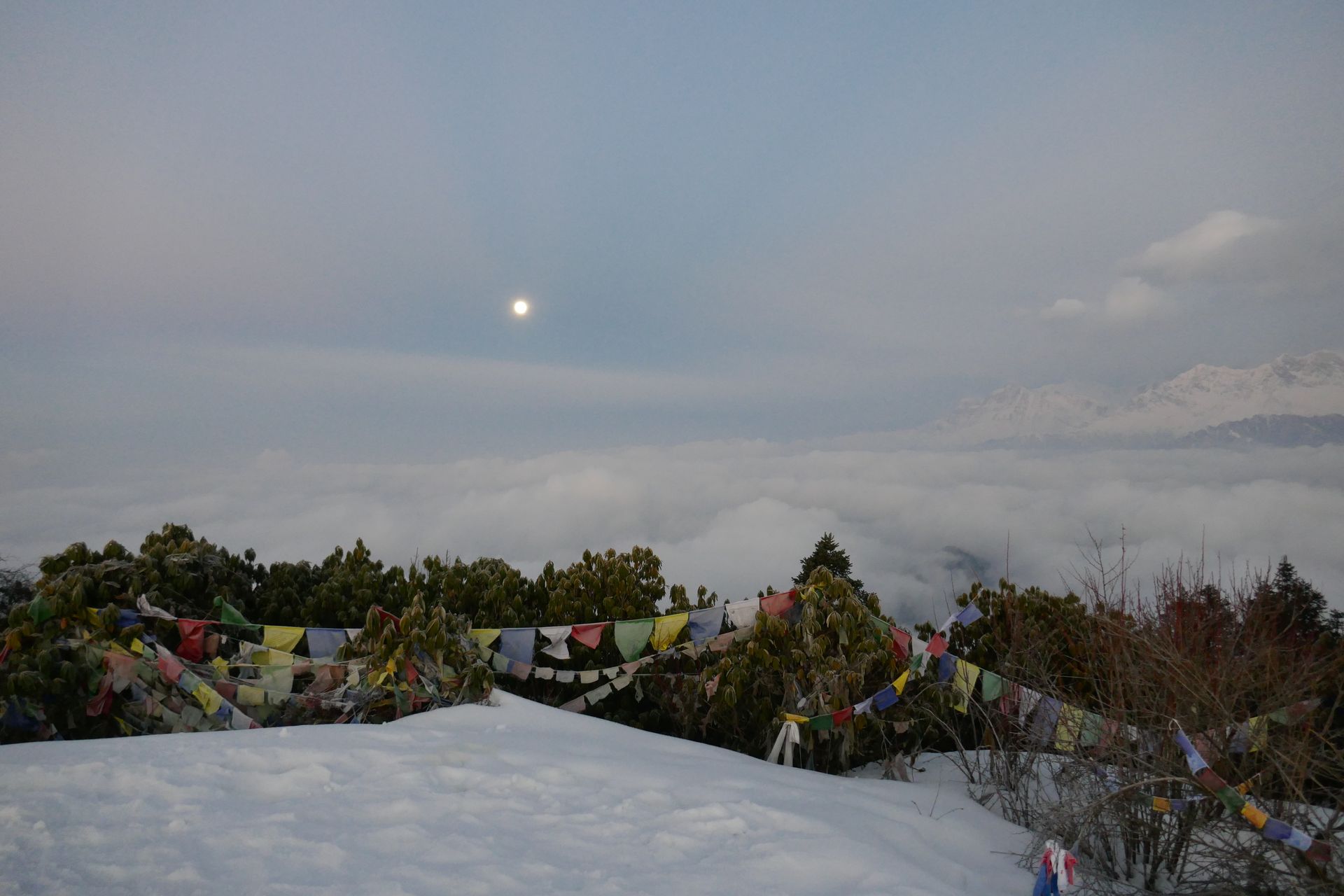
Pass
लौरीबिना ला
4,610 m
Lauribina La is the pass above Gosaikunda that links the Langtang region with Helambu. The descent passes small lakes towards Phedi and Tharepati. Trekkers should cross with a guide in poor weather, as the trail is easy to lose.
Read place
Village
Lelep is a village area in northern Taplejung on the route towards the Kanchenjunga Conservation Area. Trekkers pass through on the lower Tamor valley section of the northern route.
Read place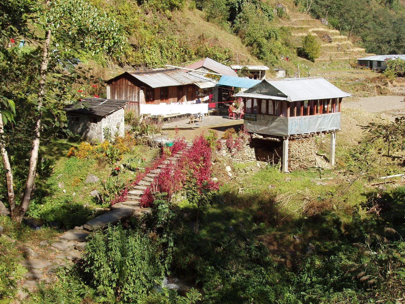
Village
लेते
2,480 m
Lete is a village beside Kalopani in the Kali Gandaki valley, with views of Dhaulagiri and the Annapurna range. It is a quiet stop on the circuit.
Read place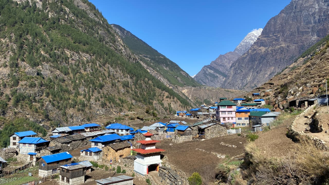
Village
ल्हो
3,180 m
Lho is a Nubri village with the Ribung Gompa on a hill above, framed by a classic view of Manaslu. It is one of the most photogenic stops on the circuit. Sunrise on Manaslu from the gompa is a highlight.
Read place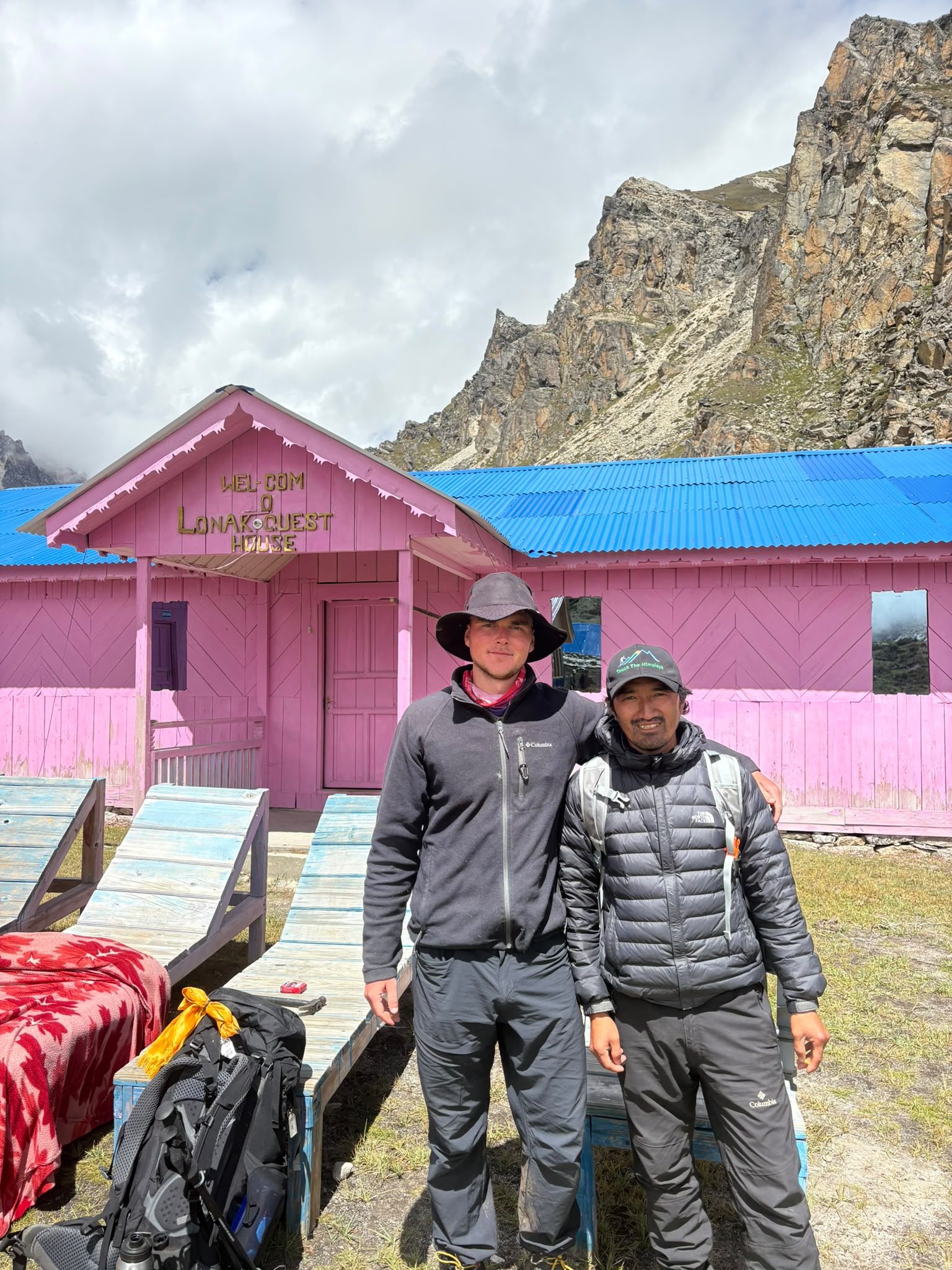
Village
Lhonak – Last Settlement Beneath Kanchenjunga
4,780 m
Lhonak is more than a stop on the Kanchenjunga trek—it is the final high-altitude staging point before Pangpema, the North Base Camp. At around 4,780–4,790 m, trekkers are already in a demanding glacial environment, with very limited facilities and exposed terrain.
Read place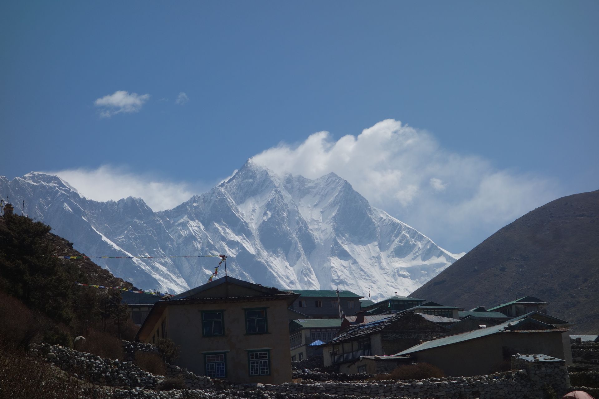
Mountain peak
ल्होत्से
8,516 m
Lhotse is the fourth-highest mountain in the world at 8,516 m, joined to Everest by the South Col. Its huge south face dominates the head of the Imja valley above Chhukung. Trekkers see Lhotse throughout the Everest Region, especially from Tengboche, Dingboche and Chhukung Ri.
Read place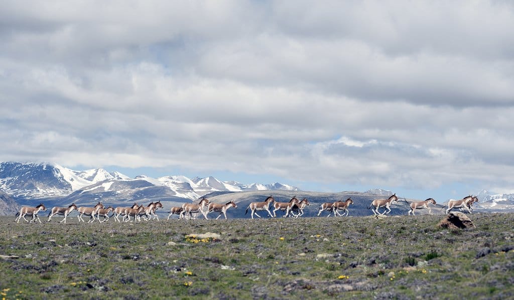
Valley
लिमी उपत्यका
3,600 m
The Limi Valley is a remote valley in northern Humla near the Tibet border, home to Tibetan villages and ancient monasteries. Wildlife such as wild yak and snow leopard live here. The Limi Valley trek is one of Nepal’s most remote routes.
Read place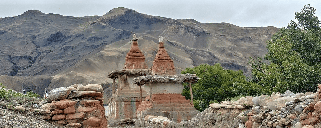
Town / city
लो मान्थाङ
3,840 m
Lo Manthang is the walled capital of the former Kingdom of Lo in Upper Mustang, founded in the 14th century. Its royal palace and the painted Thubchen and Jampa monasteries are treasures of Tibetan Buddhist art. The Tiji festival in spring is its most famous event.
Read place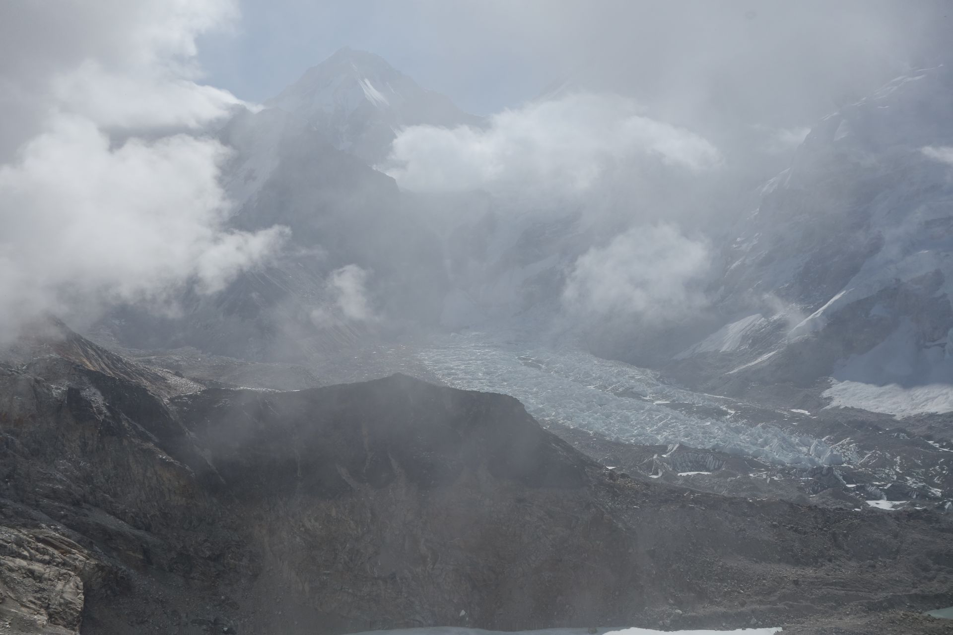
Village
लोबुचे
4,940 m
Lobuche is a cluster of lodges beside the Khumbu Glacier and the last overnight stop before Gorak Shep and Everest Base Camp. Nights here are very cold and many trekkers feel the altitude.
Read place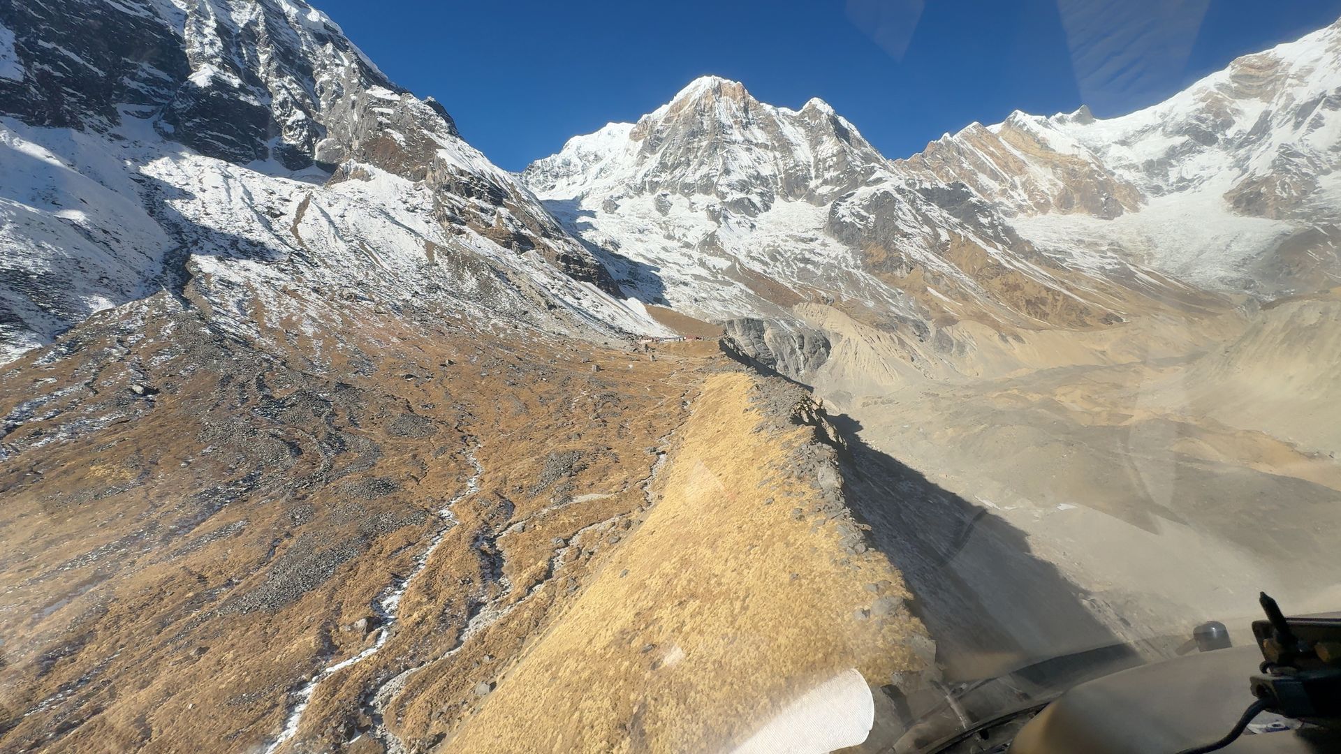
Camping site
लो क्याम्प
2,970 m
Low Camp is a lodge stop on the Mardi Himal ridge, where the forest begins to thin and Machhapuchhre comes into view. It is a common overnight on the way to High Camp. The sunset views over the ridge are beautiful.
Read place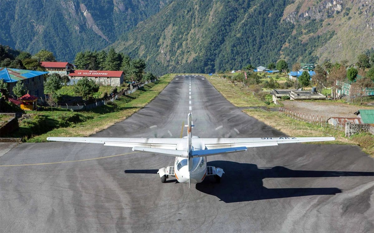
Town / city
लुक्ला
2,860 m
Lukla is the bustling gateway town of the Everest Region, where nearly every Khumbu trek begins and ends. Trekkers arrive on a short, scenic flight from Kathmandu or Ramechhap and set off north along the Dudh Koshi valley the same day.
Read place
Pass
लुम्बा सुम्बा भन्ज्याङ
5,177 m
Lumba Sumba Pass links the Kanchenjunga Conservation Area with the Makalu–Barun region, crossing between Taplejung and Sankhuwasabha. It is a remote, high crossing on a newer trekking route. The route passes Tibetan and Sherpa villages that see few visitors.
Read place
Village
लुङदेन
4,380 m
Lungden is a small group of lodges in the upper Bhote Koshi valley and the overnight stop before or after the Renjo La. The valley above leads towards the Nangpa La, an old trade pass to Tibet. It is remote and quiet, with only a few lodges.
Read place
Village
माछा खोला
930 m
Machha Khola, meaning “fish river”, is a village on a sandy riverbank in the lower Budhi Gandaki valley. It is a common overnight stop on the Manaslu Circuit. A hot spring lies further upstream at Tatopani.
Read place

